
Search for another town



Free U.S. delivery 7 to 10 days after you order
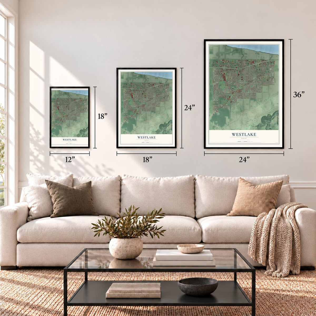
Westlake, Ohio Map Art
Building by building, with labeled streets and shaded relief.
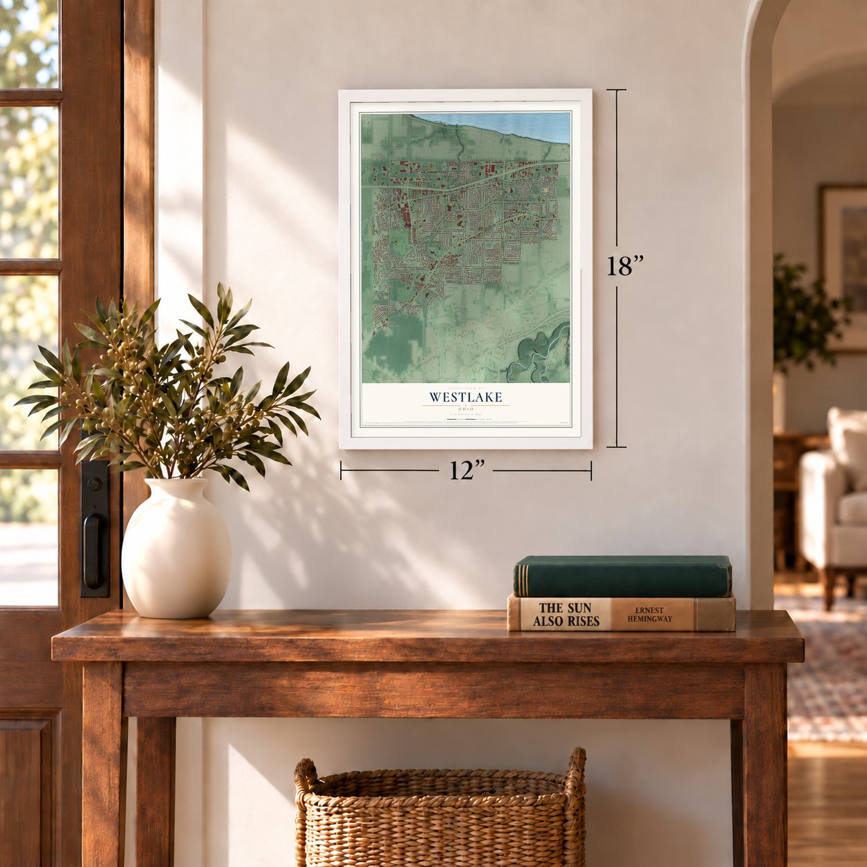
12" x 18" Archival Matte Print
A Map of Home. A Work of Art.
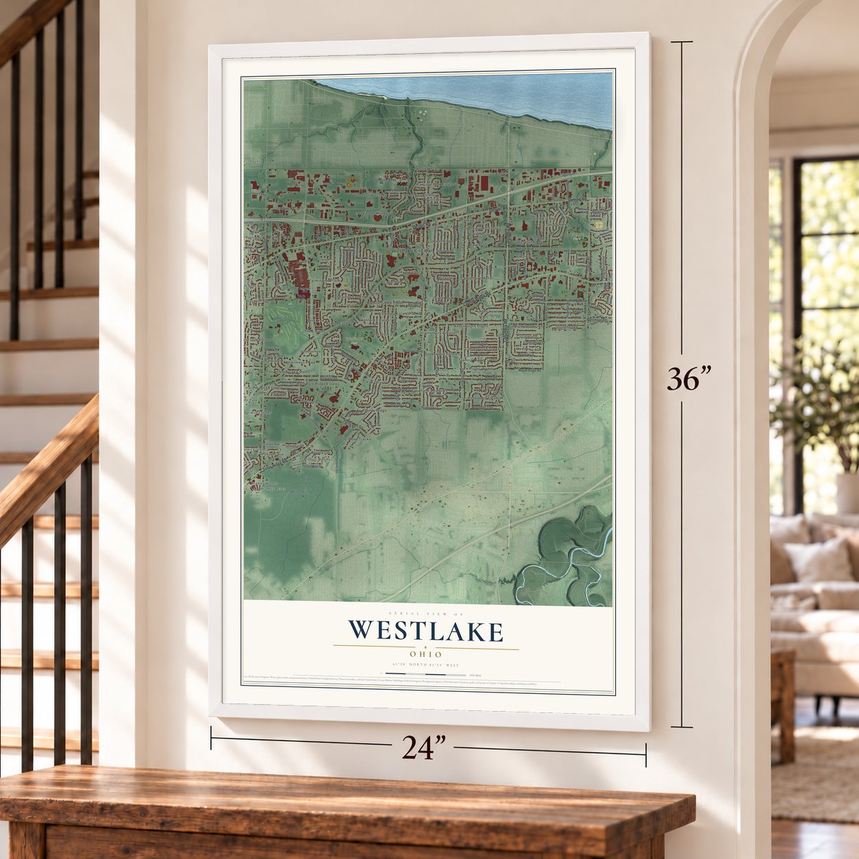
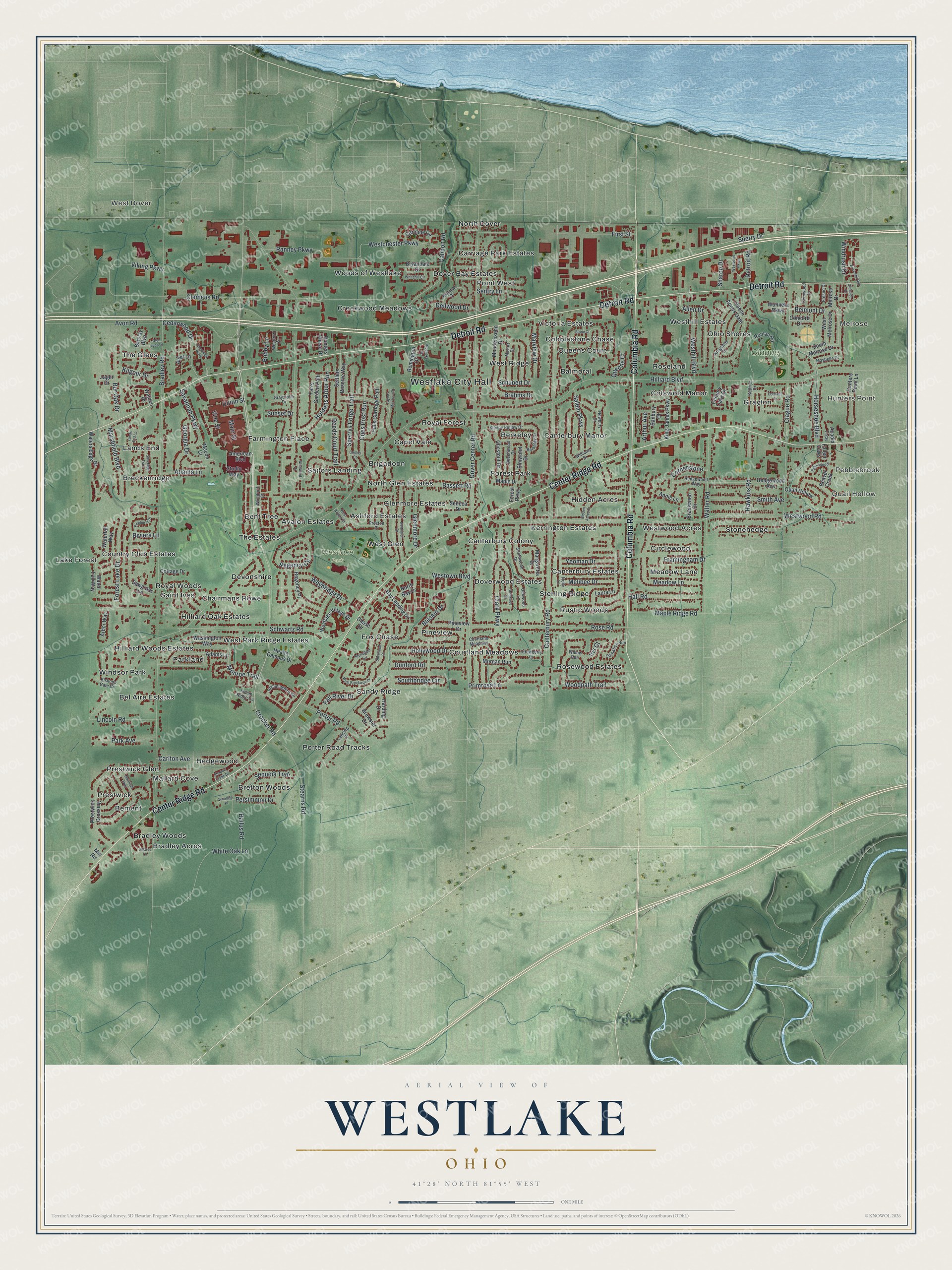
Explore Westlake, Ohio from a whole new perspective. Created using aerial imagery and detailed geographic data, this map captures Westlake building by building, with labeled streets, familiar landmarks, and shaded topographical relief that highlights the natural contours of the landscape.
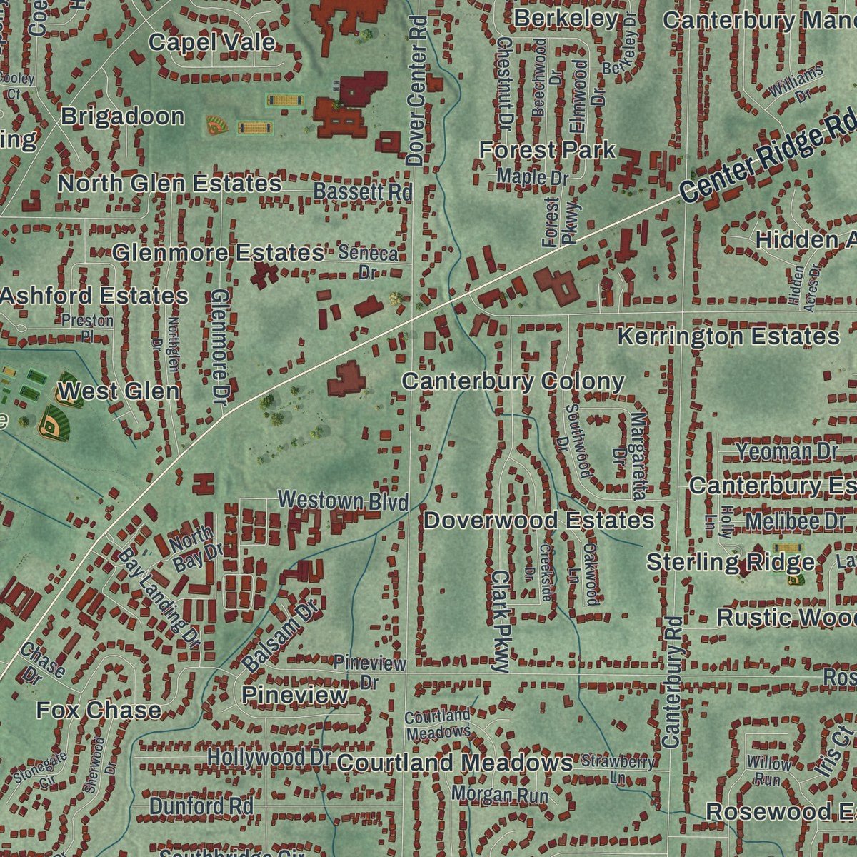
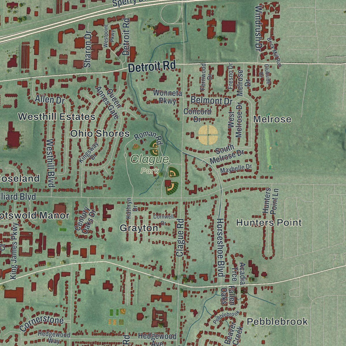
Combining modern data with the timeless character of a vintage atlas, this map is just as interesting up close as it is beautiful on the wall. Whether you grew up in Westlake, spent memorable years there, or call it home today, this unique map is a great way to celebrate a place that means something to you. Zoom in on the preview to look for your street, and then order a print to put your memories on the wall.
Three ways to hang it
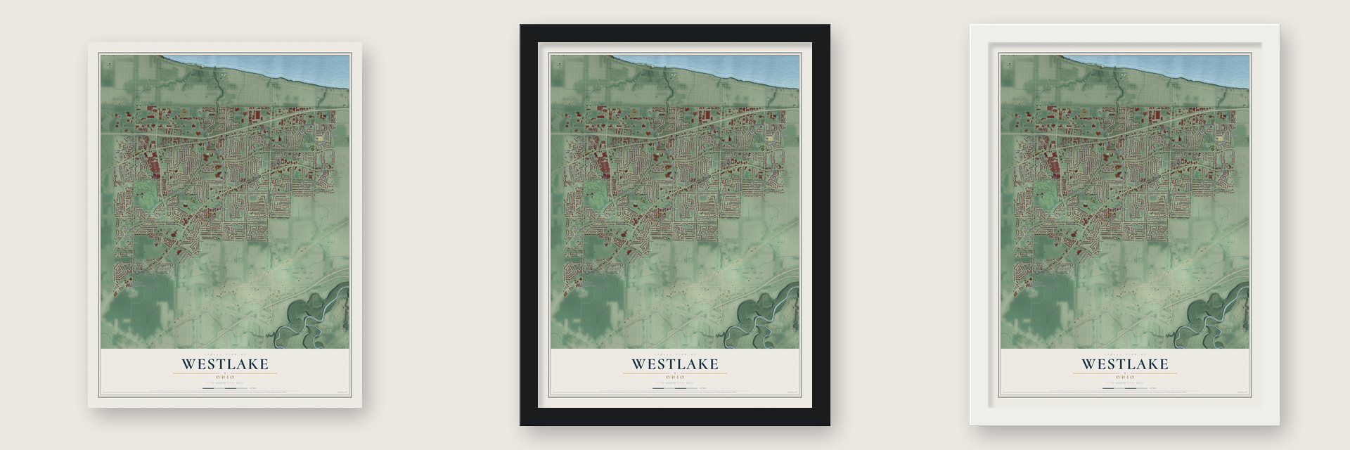
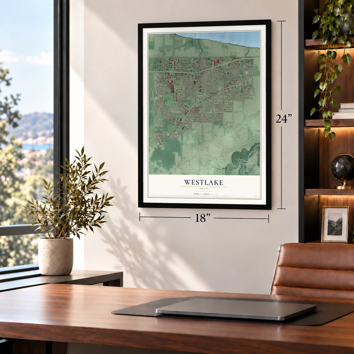
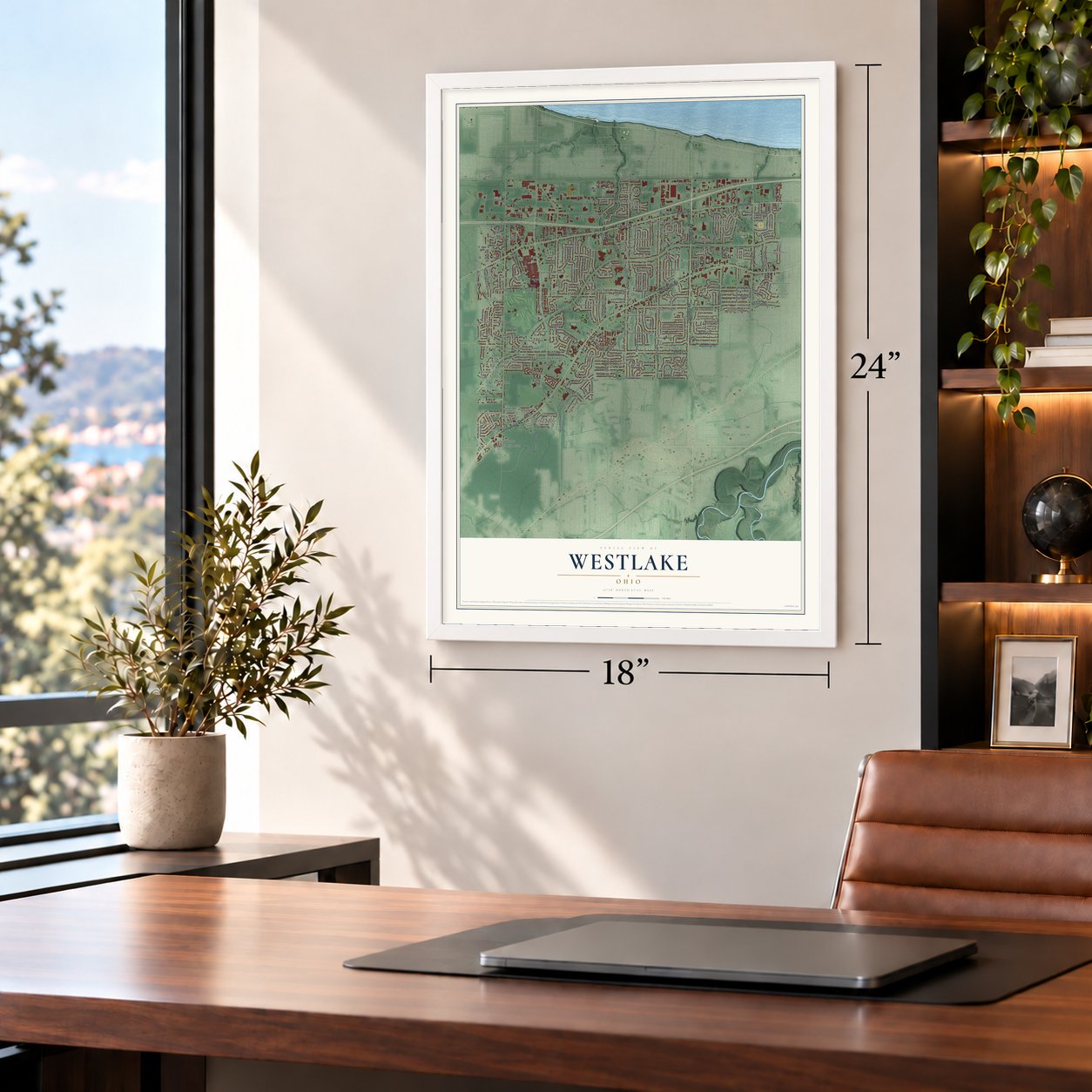
Unframed archival matte, a black wood frame or a white wood frame.
Up close
Geography Worth Displaying
This map was created using accurate cartographic data and authoritative geographic sources, including the U.S. Geological Survey and the Census Bureau. The map brings together terrain, waterways, roads, and building detail. The majority of the streets are labeled, houses are accurately depicted, and the topography is derived from government sources. Combining local data with carefully composed color and shading leads to this beautifully detailed Westlake artwork for your wall.
Rather than simply showing street outlines, we’ve included as many of the street names as we could reasonably fit on the map while keeping their names legible. Zoom in on the high resolution preview to see exactly what’s on the map. We truly set out to create a statement piece for anyone who loves Westlake. So whether it’s for you, or a gift for someone you love, we hope this map of Westlake brings back fond memories.

Find your street
Names on the Westlake map
Every name below is printed on this map. Look for your street, your school, the park where you played, or the pond down the road.
Places and landmarks79
- Westlake City Hall
- Melrose
- Hunters Point
- Pebblebrook
- Quail Hollow
- West Dover
- Clague Park
- Westlake Park
- Ashford Estates
- Avalon Estates
- Balmoral
- Bel Aire Estates
Show all 79 places
- Bement
- Bent Tree
- Berkeley
- Bradley Acres
- Bradley Woods
- Breckenridge
- Bretton Woods
- Brigadoon
- Canterbury Colony
- Canterbury Estates
- Canterbury Manor
- Capel Vale
- Carriage Park Estates
- Chairmans Rowe
- Circlewood
- Cobblestone Chase
- Cotswold Manor
- Country Club Estates
- Courtland Meadows
- Creekwood Meadows
- Devonshire
- Dover Bay Estates
- Doverwood Estates
- Farmington Place
- Forest Park
- Fox Chase
- Glenmore Estates
- Grayton
- Hedgewood
- Hidden Acres
- Hilliard Oak Estates
- Hilliard Woods Estates
- Kerrington Estates
- Lake Forest
- Lands End
- Mallard Cove
- Meadow Lane
- North Dover
- North Glen Estates
- Ohio Shores
- Parkland
- Pineview
- Point West
- Porter Road Tracks
- Prestwick
- Prestwick Glen
- Queens Court
- Roseland
- Rosewood Estates
- Royal Forest
- Royal Woods
- Rustic Woods
- Sailors Landing
- Saint Ives
- Sandy Ridge
- Sterling Ridge
- Stonehedge
- The Estates
- The Glens
- Victoria Estates
- West Glen
- West Park Ridge Estates
- West Ridge
- Westhill Estates
- Westwood Acres
- Windsor Park
- Woods of Westlake
Streets and roads196
- Columbia Road
- Center Ridge Road
- Detroit Road
- Crocker Road
- Sperry Drive
- Horseshoe Boulevard
- Hilliard Boulevard
- Bradley Road
- Bassett Road
- Dover Center Road
- Canterbury Road
- Westwood Road
- Clague Road
- Clemens Road
- Schwartz Road
- Walter Road
- Rose Road
- Cahoon Road
- Viking Parkway
- Stearns Road
- White Oak Lane
- Westchester Parkway
- First Street
- Ranney Parkway
- Clark Parkway
- Forest Lake Drive
- Allen Drive
- Regency Circle
- Sperrys Forge Trail
- Bailus Road
Show all 196 streets
- Coes Post Run
- Hawkins Road
- Dellwood Drive
- Georgia Drive
- Holdens Arbor Run
- Woodpath Trail
- Primrose Lane
- Dunford Road
- Hollywood Drive
- Smith Avenue
- Maple Ridge Road
- Hall Road
- Riviera Lane
- Marshfield Boulevard
- Porter Road
- Avon Road
- Savannah Parkway
- Vine Street
- Westhill Boulevard
- Salem Parkway
- Bur Oak Drive
- Framingham Drive
- Southbridge Circle
- Lincoln Road
- Glenmore Drive
- Cornerstone
- Cedarwood Drive
- Sequoia Trail
- Reeds Court Trail
- Marview Drive
- Monroe Trail
- Park Avenue
- Fall River Drive
- Yeoman Drive
- Melibee Drive
- Main Street
- Weybridge Drive
- Westown Boulevard
- Kilgour Drive
- Persimmon Drive
- Sentry Lane
- Atlanta Lane
- Balsam Drive
- Union Street
- Carlton Avenue
- Belmont Drive
- Brahms Drive
- Sharon Drive
- Schubert Drive
- Windrush Drive
- Bobby Lane
- Arthur Avenue
- Iris Court
- Sunset Drive
- South Melrose Drive
- Settlers Reserve Way
- Westlake Village Drive
- Water Fall Way
- Roman Road
- Prestwick Crossing
- Queen Annes Gate
- Laura Lane
- Bay Landing Drive
- Health Campus Drive
- Waters Edge Drive
- Hedgewood Avenue
- Washington Way
- Farrs Garden Path
- Regency Place
- Mendelssohn Drive
- Adams Lane
- Remington Drive
- Waterfall Way
- Elmwood Drive
- King James Parkway
- Halls Carriage Path
- Hunters Chase Drive
- North Bay Drive
- Chestnut Drive
- Walden Drive
- Hunters Point Lane
- Brewster Drive
- Harding Drive
- Pineview Drive
- Caroline Circle
- Barclay Boulevard
- Bryandale Drive
- Brantwood Drive
- West Melrose Drive
- Seneca Drive
- Banbury Court
- Century Oaks Drive
- Concord Drive
- Morgan Run
- Sawgrass Lane
- Maple Drive
- Cottage Drive
- Arbor Way
- Margaretta Drive
- Studio Way
- American Boulevard
- Melrose Drive
- Wonneta Parkway
- Fallen Oaks
- Beaver Creek
- Chase Drive
- Alder Lane
- Annie Lane
- Jager Drive
- Forest Parkway
- Macon Court
- Acadia Trce
- Mill Road
- Woodruff Court
- Richmar Drive
- Hummingbird Circle
- Westford Circle
- Berkeley Drive
- Kingsway Drive
- Southwood Drive
- Holly Lane
- Lansing Drive
- Newbury Drive
- Willow Run
- Beechwood Drive
- Mozart Drive
- Oakwood Lane
- Hedgewood Way
- Sleepy Hollow Drive
- Strawberry Lane
- Kathryn Drive
- Carnation Run
- Fernwood Drive
- Maybelle Drive
- Graystone Drive
- Indian Ridge Cv
- Bishops Gate Circle
- Williams Drive
- Preston Place
- Fresno Drive
- Muirfield Way
- Northglen Drive
- Stonegate Circle
- Sherwood Drive
- Crossings Parkway
- Brick Mill Run
- Silveridge Trail
- Hidden Acres Drive
- Creekside Drive
- Glen Lyon Drive
- Westpoint Parkway
- Shadow Creek Drive
- Whitehill Circle
- West Brockway Drive
- Stone Court
- Lands End Lane
- Pinehurst Drive
- Taylors Mill Turn Drive
- Cornwell Drive
- Windward Drive
- Roanoke Court
- Clubside Drive
- West Avalon Drive
- Woodlyn Place
- Silktree Lane
- Cooley Court
Names are listed as they appear on the printed map. Zoom into the product photos to find them.
About Westlake, Ohio
Westlake is a city in Cuyahoga County, 12 miles west of downtown Cleveland. Its population was 34,228 in the 2020 census. First settled by European Americans as part of Dover Township, the community became Dover Village in 1913, adopted the name Westlake in 1940, and attained city status in 1957.
- First SettlementEuropean American settlement began on October 10, 1810, when the area belonged to Dover Township.
- Clague Family FarmRobert Clague's family raised nine children on a 78-acre farm, which Walter and Sophronia Clague donated for Clague Memorial Park in 1926.
- Historic Clague HouseBuilt in 1876 as the third house on the property, the Clague House now contains a museum, history library, and community theater.
- An Astronaut's HometownMarine pilot Robert Overmyer, a 1954 Westlake High School graduate, regarded Westlake as his hometown and was selected as an astronaut in 1966.
Keep exploring Ohio
Westlake is one of 1,389 Ohio towns we've mapped. Every dot on the map is a print of its own.
The search covers every state, Ohio first.
Near Westlake
Order 2 or more town maps and save 10%. Shown in the size and finish you picked above, so they hang as a set.
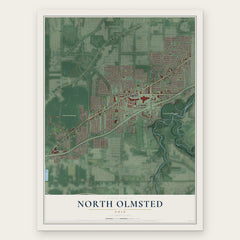
- North Olmsted 12" x 18" / Archival Matte Print $39.99
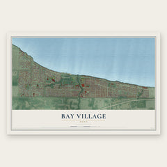
- Bay Village 12" x 18" / Archival Matte Print $39.99
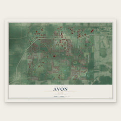
- Avon 12" x 18" / Archival Matte Print $39.99
More maps nearby: Fairview Park, Rocky River, Avon Lake, Olmsted Falls and North Ridgeville.
The art of mapping a place
How This Map Was Made
Real places. Remarkable detail. Discover the layers that turn geographic data into a map of home.

The view from above
Aerial imagery reveals the character of the land: woodland, open fields, and the patterns of a place.

The shape of the land
Elevation data brings hills, valleys, and subtle changes in the landscape into view.

The details of home
Roads, waterways, and building footprints come together to make the map feel unmistakably local.

Geography becomes art
Considered color, shading, and typography bring the layers together in a map made for your wall.


Process illustrated with Mendon, Massachusetts. Aerial imagery: USDA NAIP. Terrain: USGS 3D Elevation Program. Map details and finished artwork: KNOWOL.
The Details
About This Print
Choose an archival matte print, or a black or white Ayous wood frame. The archival matte print is unframed.
Select your size and finish above to see the matching product image and price.
Materials & Craftsmanship
A contemporary map with the character of a classic atlas, printed on archival matte paper. Optional frames are made from Ayous wood.
Your printed map does not include the watermark shown in the full-map preview.
Shipping & Delivery
Free shipping within the United States. Every print is made to order in the USA.
Buying a gift? Add a note in your cart and we'll include it. We never put prices in the package.
Prints ship within 2 to 3 business days. Allow 7 to 10 days total from ordering for delivery. Timing may vary during holidays or periods of high order volume.
Read our shipping policy.
Returns and damaged prints
Each print is made to order. Change-of-mind refunds are not available after production.
If your print arrives damaged, misprinted or incorrect, contact support@knowol.com within 30 days of receiving it. Include your order number, photos and a description of the issue.
Read our full refund and replacement policy. For questions about your order, email support@knowol.com.