
Search for another town

Free U.S. delivery 7 to 10 days after you order
Whitehall, Ohio Map Art
Building by building, with labeled streets and shaded relief.
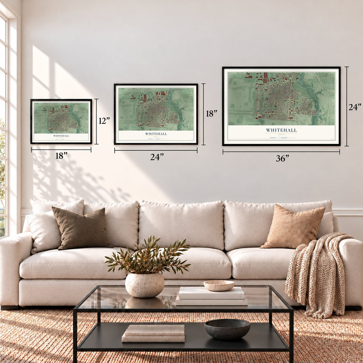
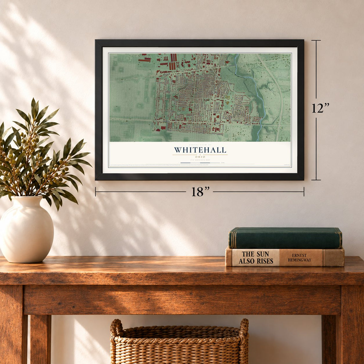
12" x 18" Archival Matte Print
A Map of Home. A Work of Art.
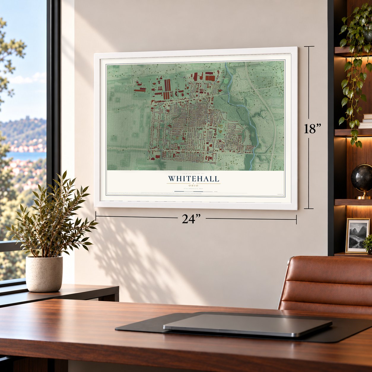
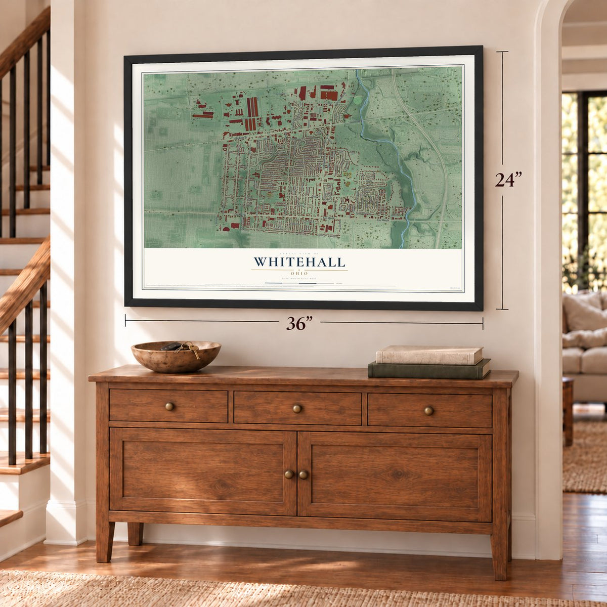
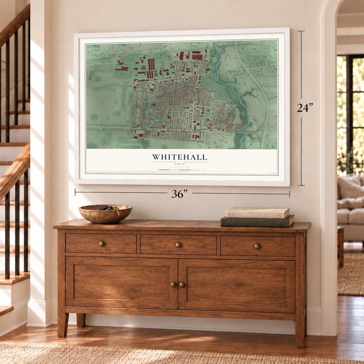
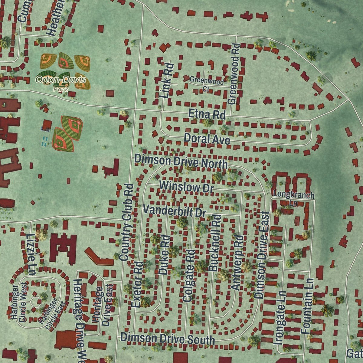
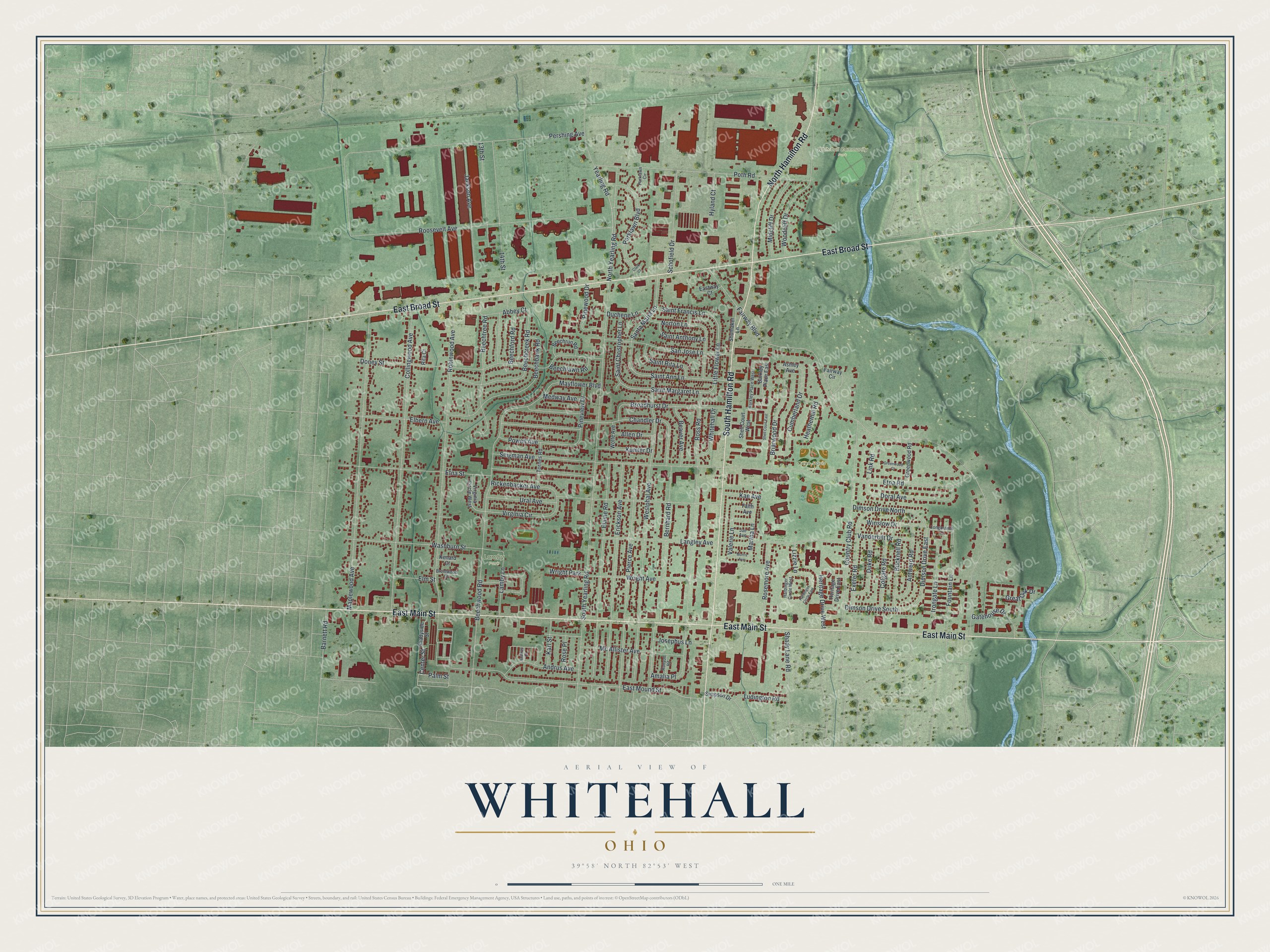
Explore Whitehall, Ohio from a whole new perspective. Created using aerial imagery and detailed geographic data, this map captures Whitehall building by building, with labeled streets, familiar landmarks, and shaded topographical relief that highlights the natural contours of the landscape.
Combining modern data with the timeless character of a vintage atlas, this map is just as interesting up close as it is beautiful on the wall. Whether you grew up in Whitehall, spent memorable years there, or call it home today, this unique map is a great way to celebrate a place that means something to you. Zoom in on the preview to look for your street, and then order a print to put your memories on the wall.
Three ways to hang it
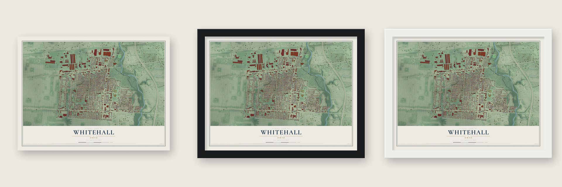
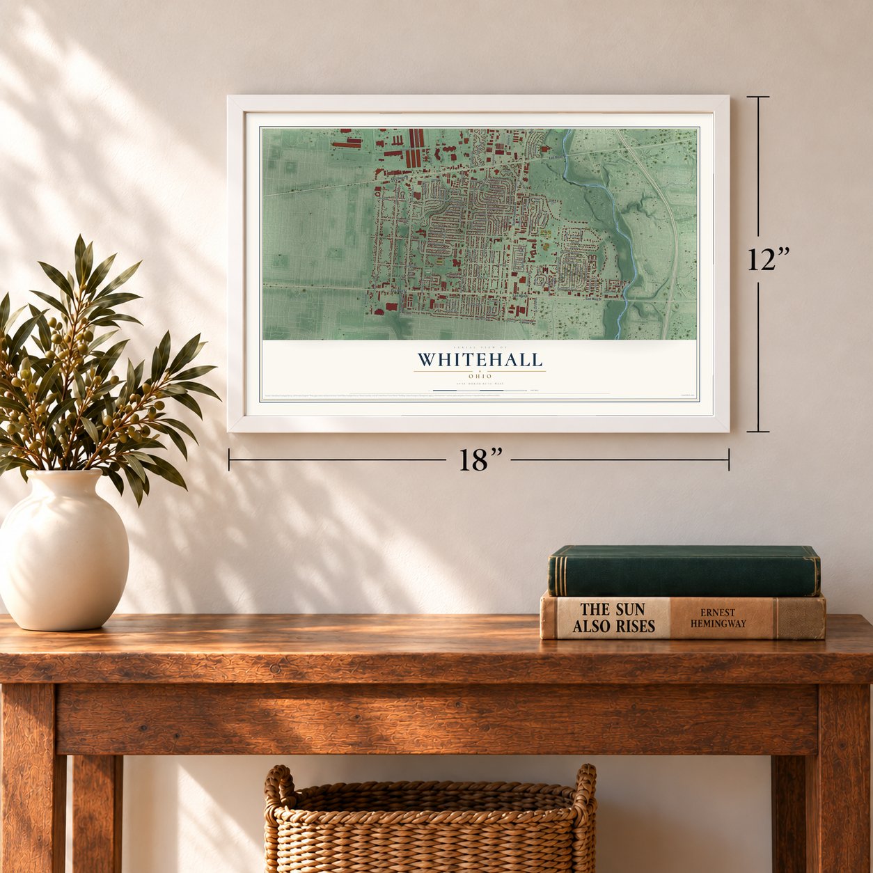
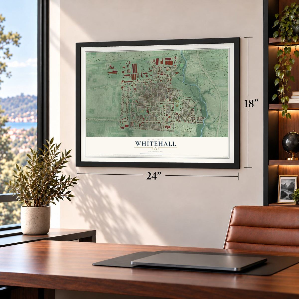
Unframed archival matte, a black wood frame or a white wood frame.
Up close
Geography Worth Displaying
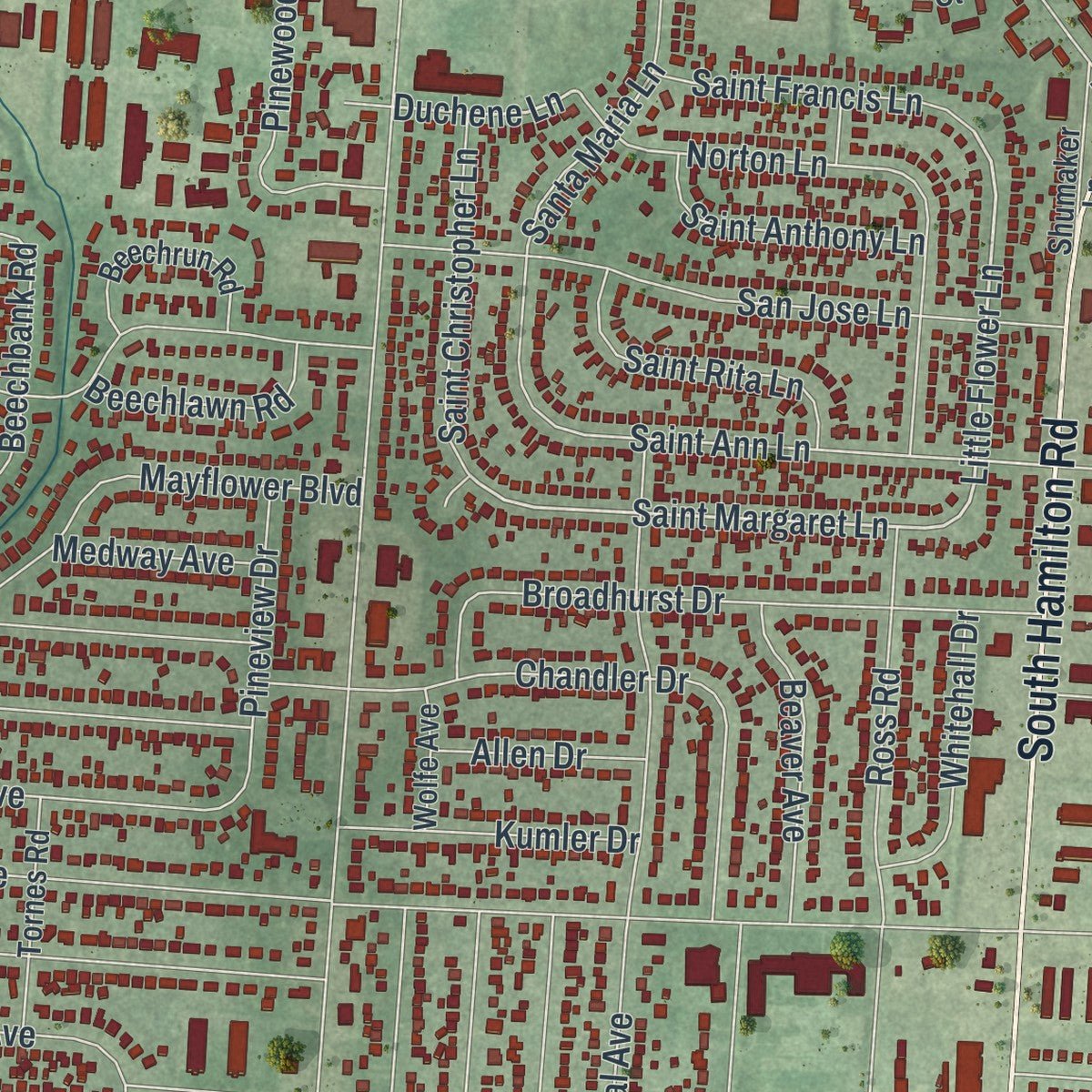
This map was created using accurate cartographic data and authoritative geographic sources, including the U.S. Geological Survey and the Census Bureau. The map brings together terrain, waterways, roads, and building detail. The majority of the streets are labeled, houses are accurately depicted, and the topography is derived from government sources. Combining local data with carefully composed color and shading leads to this beautifully detailed Whitehall artwork for your wall.
Rather than simply showing street outlines, we’ve included as many of the street names as we could reasonably fit on the map while keeping their names legible. Zoom in on the high resolution preview to see exactly what’s on the map. We truly set out to create a statement piece for anyone who loves Whitehall. So whether it’s for you, or a gift for someone you love, we hope this map of Whitehall brings back fond memories.
Read the story behind this map of Whitehall, Ohio from 2026.
Find your street
Names on the Whitehall map
Every name below is printed on this map. Look for your street, your school, the park where you played, or the pond down the road.
Places and landmarks4
- Orton-Davis Park
- Whitehall Community Park
- Lamby Park
- Wright Park
Streets and roads138
- East Main Street
- East Broad Street
- South Hamilton Road
- North Hamilton Road
- Yearling Road
- Saint Margaret Lane
- Little Flower Lane
- Duchene Lane
- Center Street
- Parklawn Boulevard
- Saint Ann Lane
- Dimson Drive East
- Norton Lane
- Fairway Boulevard
- Robinwood Avenue
- South Yearling Road
- Etna Road
- Ross Road
- Pershing Avenue
- Westphal Avenue
- Collingwood Avenue
- Maplewood Avenue
- Beechwood Road
- Bernhard Road
- Roosevelt Avenue
- Langley Avenue
- Etna Street
- Doney Street
- Rickenbacker Avenue
- East Mound Street
Show all 138 streets
- Pierce Avenue
- Poth Road
- Elaine Road
- Erickson Avenue
- Country Club Road
- Elbern Avenue
- Washburn Street
- Beechbank Road
- North Yearling Road
- Beechtree Road
- Woodcliff Drive
- Beechcreek Road
- Mc Allister Avenue
- Chandler Drive
- Mayflower Boulevard
- Jackson Avenue
- 14th Street
- Wright Avenue
- San Jose Lane
- Broadhurst Drive
- Exeter Road
- Doral Avenue
- Fountain Lane
- 13th Street
- Santa Maria Lane
- Briarwood Drive
- Schofield Drive
- Seigman Avenue
- Cumberland Drive
- Virginia Circle
- Rosemore Avenue
- Midcliff Drive
- Antwerp Road
- Andrus Avenue
- Powell Avenue
- Shady Lane Road
- Irongate Lane
- Colgate Road
- Bucknell Road
- Ural Avenue
- Dimson Drive South
- Saint Christopher Lane
- Pinewood Drive
- Dimson Drive North
- Duke Road
- Winslow Drive
- Saint Rita Lane
- Lamby Lane
- Beaver Avenue
- Saint Francis Lane
- Heritage Drive West
- Martha Lane
- Great Oak Drive
- Pineview Drive
- Whitehall Drive
- Saint Anthony Lane
- Kumler Drive
- Josephus Lane
- Heatherhill Road
- Vanderbilt Drive
- Ludington Road
- Beechford Road
- Valerie Lane
- Beechlawn Road
- Karl Street
- Barnett Road
- Gatehouse Drive
- Hyland Court
- Abbey Court
- Elm Street
- Allen Drive
- Medway Avenue
- Kae Avenue
- Rose Place
- Lizzie Lane
- Amalia Place
- Link Road
- Palm Street
- Shadyside Street
- Barkley Place East
- Beechrun Road
- Virginia Circle West
- Greenwood Road
- Tornes Road
- Fairway Circle
- Shumaker Lane
- Heritage Drive East
- Shell Court West
- Simpson Drive
- Wolfe Avenue
- Eastway Court
- Ashley Avenue
- Faith Avenue
- Kenard Court
- Rita Court
- Barkley Place West
- Harbinger Circle West
- Parklawn Circle
- Longbranch Lane
- Brentwood Court
- Runyon Road
- Jae Avenue
- Andrus Court
- Harbinger Circle East
- Shell Court East
- Greenwood Court
- Morris Avenue
- Clark Court
Names are listed as they appear on the printed map. Zoom into the product photos to find them.
About Whitehall, Ohio
Whitehall is a city in Franklin County, six miles east of Columbus, with 20,127 residents recorded in the 2020 census. Residents sought incorporation in 1947, and rapid growth brought city status during the 1950s. The city covers 5.29 square miles.
- First Central Ohio AirportNorton Field was central Ohio's first airport; Eddie Rickenbacker attended its June 30, 1923 opening, when Columbus also received its first air mail.
- Wartime Supply CenterThe military supply center at 3990 East Broad Street opened in 1918 and employed more than 10,000 people during World War II.
- Early Shopping CenterCasto's Town and Country opened in Whitehall in 1948 and is identified as the nation's first strip shopping center.
- Eastward ExpansionIn 1952, Whitehall's boundaries extended eastward to the country club and Big Walnut Creek.
Keep exploring Ohio
Whitehall is one of 1,389 Ohio towns we've mapped. Every dot on the map is a print of its own.
The search covers every state, Ohio first.
Near Whitehall
Order 2 or more town maps and save 10%. Shown in the size and finish you picked above, so they hang as a set.
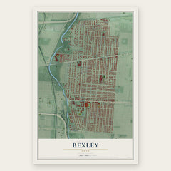
- Bexley 12" x 18" / Archival Matte Print $39.99
- Woodland Park 12" x 18" / Archival Matte Print $39.99
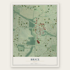
- Brice 12" x 18" / Archival Matte Print $39.99

More maps nearby: Blacklick Estates, Old Oaks, Gahanna, Reynoldsburg and South Side.
The art of mapping a place
How This Map Was Made
Real places. Remarkable detail. Discover the layers that turn geographic data into a map of home.

The view from above
Aerial imagery reveals the character of the land: woodland, open fields, and the patterns of a place.

The shape of the land
Elevation data brings hills, valleys, and subtle changes in the landscape into view.

The details of home
Roads, waterways, and building footprints come together to make the map feel unmistakably local.

Geography becomes art
Considered color, shading, and typography bring the layers together in a map made for your wall.


Process illustrated with Mendon, Massachusetts. Aerial imagery: USDA NAIP. Terrain: USGS 3D Elevation Program. Map details and finished artwork: KNOWOL.
The Details
About This Print
Choose an archival matte print, or a black or white Ayous wood frame. The archival matte print is unframed.
Select your size and finish above to see the matching product image and price.
Materials & Craftsmanship
A contemporary map with the character of a classic atlas, printed on archival matte paper. Optional frames are made from Ayous wood.
Your printed map does not include the watermark shown in the full-map preview.
Shipping & Delivery
Free shipping within the United States. Every print is made to order in the USA.
Buying a gift? Add a note in your cart and we'll include it. We never put prices in the package.
Prints ship within 2 to 3 business days. Allow 7 to 10 days total from ordering for delivery. Timing may vary during holidays or periods of high order volume.
Read our shipping policy.
Returns and damaged prints
Each print is made to order. Change-of-mind refunds are not available after production.
If your print arrives damaged, misprinted or incorrect, contact support@knowol.com within 30 days of receiving it. Include your order number, photos and a description of the issue.
Read our full refund and replacement policy. For questions about your order, email support@knowol.com.