
Search for another town




Free U.S. delivery 7 to 10 days after you order
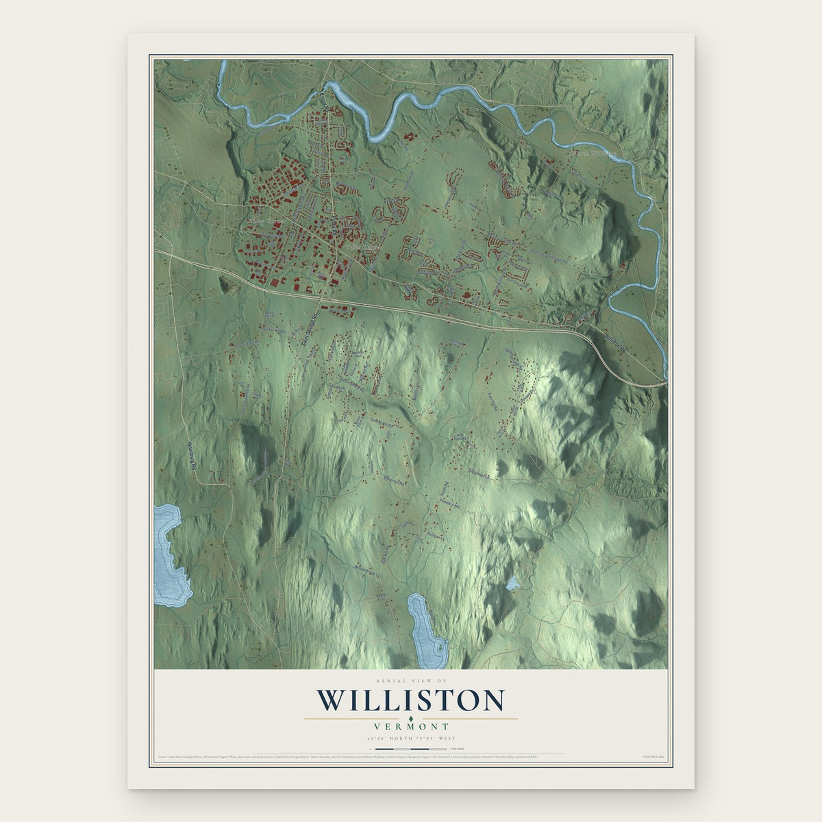
Williston, Vermont Map Art
A new map of Williston, Vermont, made in 2026 and printed to order on thick archival matte paper.
18" x 24" Archival Matte Print
A Map of Home. A Work of Art.
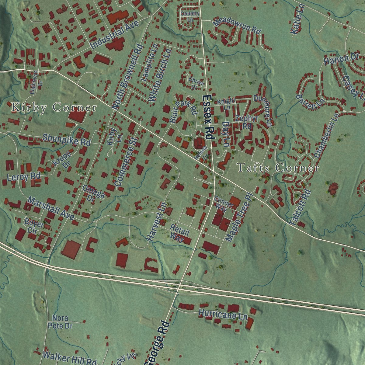
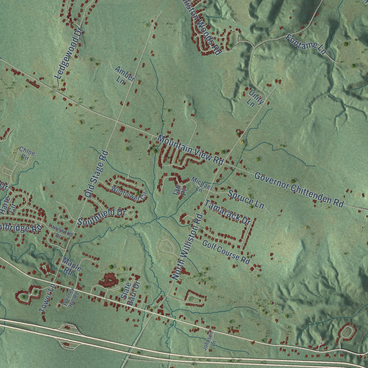
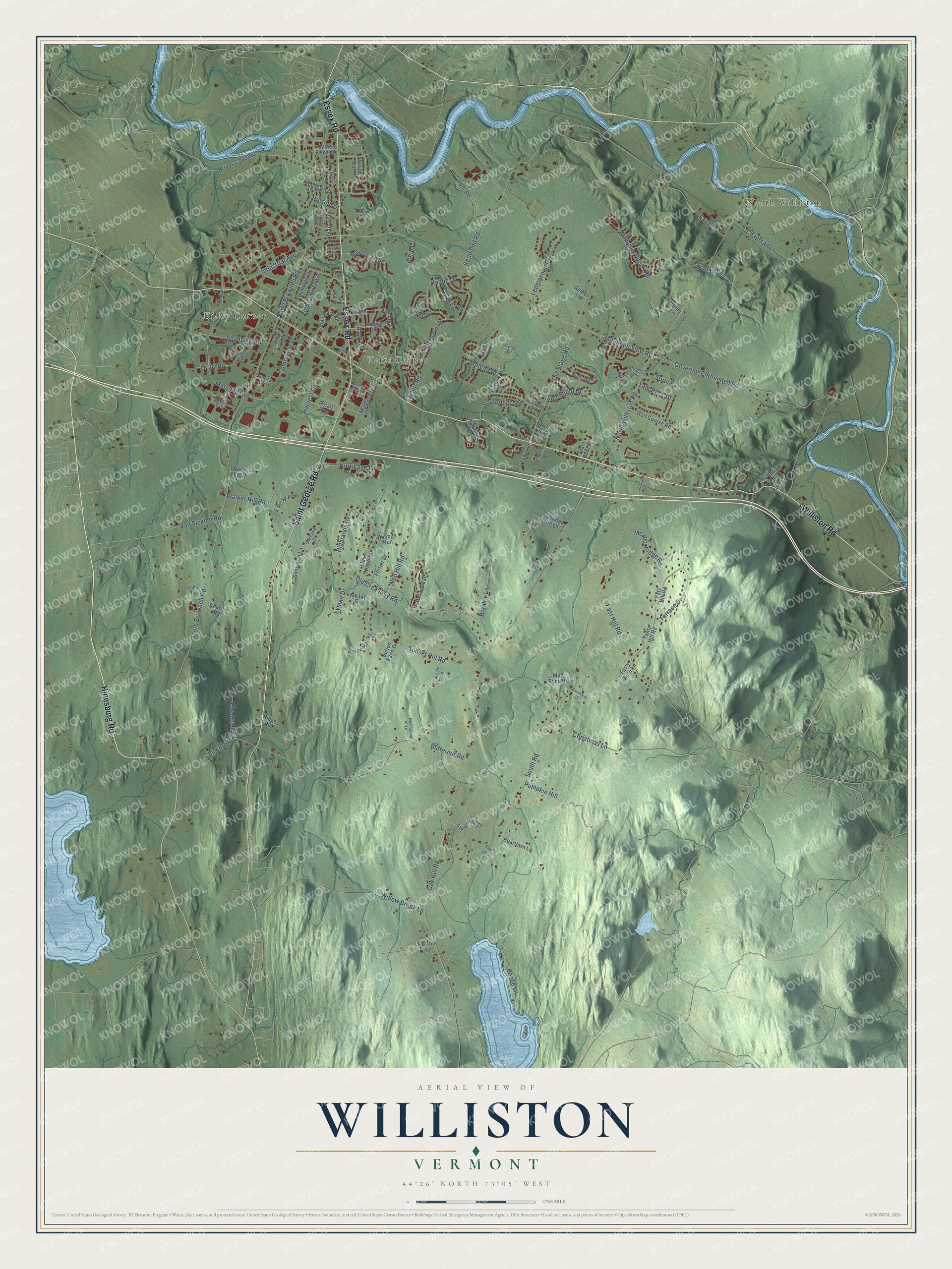
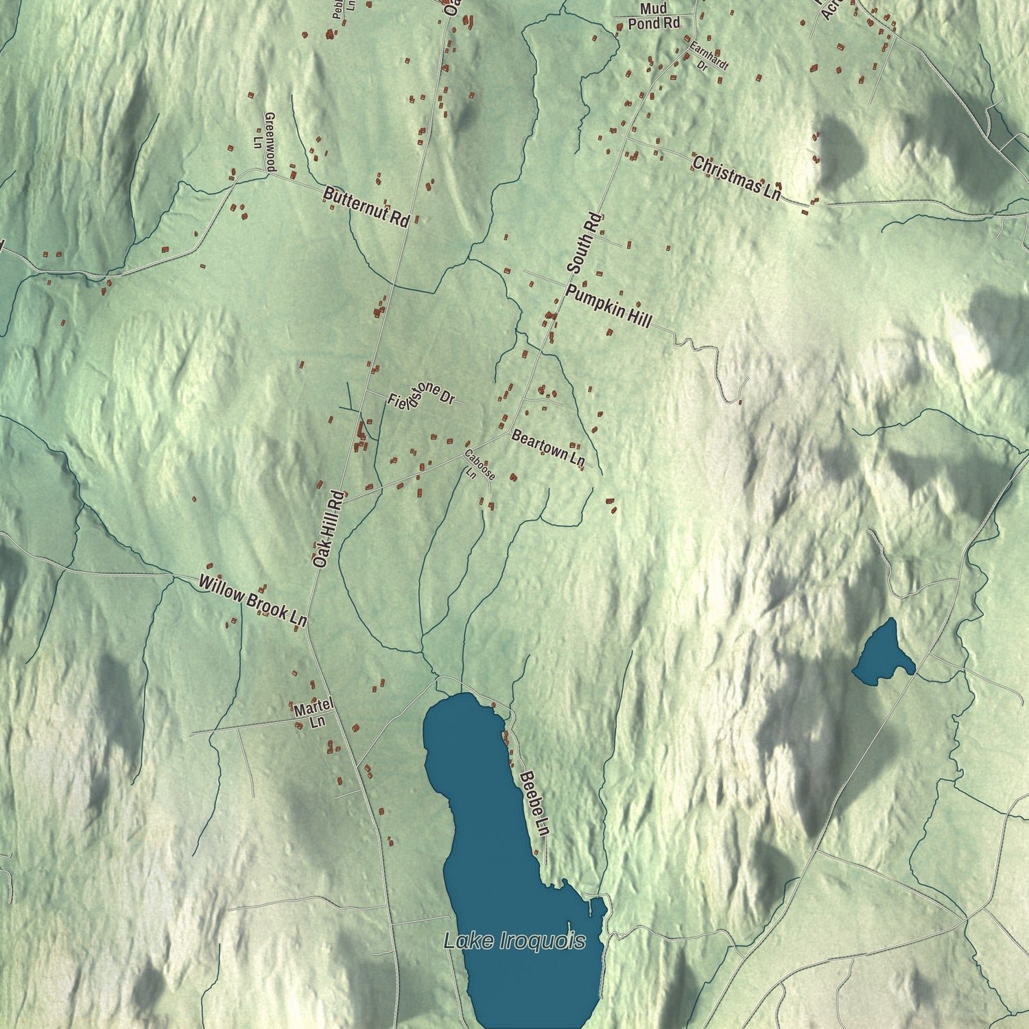
Explore Williston, Vermont from a whole new perspective. Created using aerial imagery and detailed geographic data, this map captures Williston building by building, with labeled streets, familiar landmarks, and shaded topographical relief that highlights the natural contours of the landscape.
Combining modern data with the timeless character of a vintage atlas, this map is just as interesting up close as it is beautiful on the wall. Whether you grew up in Williston, spent memorable years there, or call it home today, this unique map is a great way to celebrate a place that means something to you. Zoom in on the preview to look for your street, and then order a print to put your memories on the wall.
Three ways to hang it
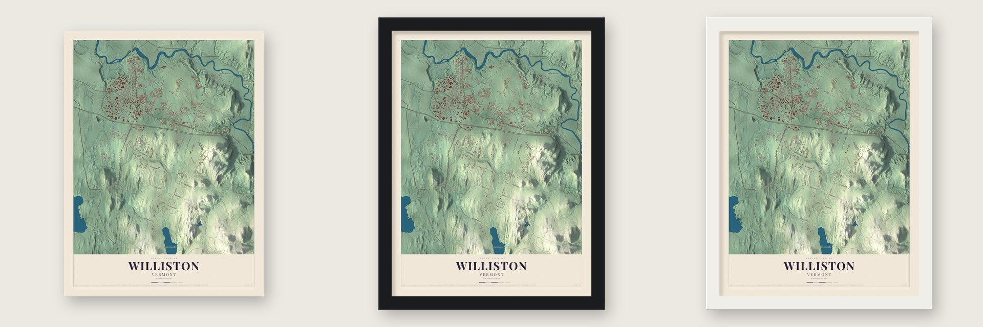
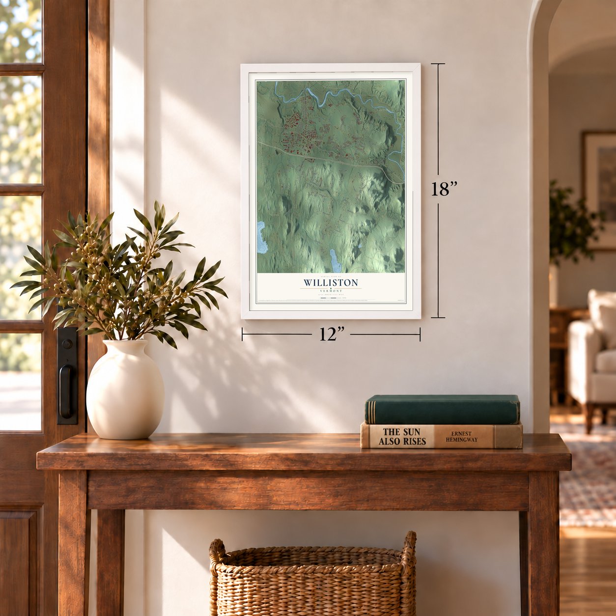
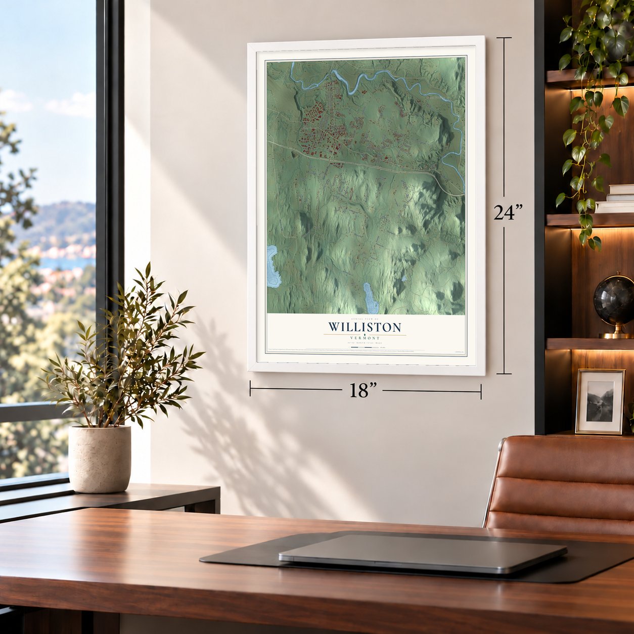
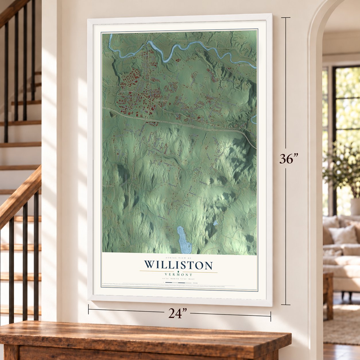
Unframed archival matte, a black wood frame or a white wood frame.
Up close
Geography Worth Displaying
This map was created using accurate cartographic data and authoritative geographic sources, including the U.S. Geological Survey (USGS) and FEMA. The map brings together terrain, waterways, roads, and building detail. The majority of the streets are labeled, houses are accurately depicted, and the topography is derived from government sources. Combining local data with carefully composed color and shading leads to this beautifully detailed Williston artwork for your wall.
Rather than simply showing street outlines, we’ve included as many of the street names as we could reasonably fit on the map while keeping their names legible. Zoom in on the high resolution preview to see exactly what’s on the map. We truly set out to create a statement piece for anyone who loves Williston. So whether it’s for you, or a gift for someone you love, we hope this map of Williston brings back fond memories.
Explore the full map of Williston, Vermont and read about the local places it shows.

About Williston, Vermont
Williston is a town of 10,103 people in Chittenden County, with the Winooski River along its northern edge. In 1763 Governor Benning Wentworth of New Hampshire granted its charter as one of the New Hampshire Grants. The name honors Samuel Willis, a merchant from New York who was among the 65 original grantees but never came to see the place.
For most of its history Williston was a rural town laid out in farms. In recent decades it has grown into a suburb of Burlington and added more than 1,000 people between the 2010 and 2020 censuses. Its stores around Taft Corners made it a shopping center for much of northern Vermont, and in 2007 its retail sales of $434.8 million were the highest in the state.
- Home of Thomas ChittendenThomas Chittenden led the Vermont Republic as its president and then became the first governor of the state. He lived in Williston, and his grave in the central cemetery carries a prominent memorial. Several generations of his family made their homes here, and Vermont's most populous county is named for them. Several of the original Chittenden family houses are still standing.
- The Brick Church of 1832The village center keeps a well-preserved group of 19th-century brick buildings. The old Brick Church of 1832 is counted among Vermont's finest country Gothic churches. The old Town Hall dates from around 1840, and a Methodist church of 1848 is now the Town Annex. The Universalists' church of 1860 is now the Town Hall, and Boston architect John Stevens designed the Methodist Episcopal church of 1867, today the Federated Church.
- The Montrealer wreck of 1984Late at night on July 7, 1984, a Montrealer train run by Amtrak, carrying 287 people, struck a landslide and left the rails. Five people were killed and about 200 were hurt. The crash set off one of the most intensive emergency responses Vermont had seen, and rescuers did not free the last victims until the end of the day.
Find your street
Names on the Williston map
Every name below is printed on this map. Look for your street, your school, the park where you played, or the pond down the road.
Places and landmarks4
- North Williston
- Kirby Corner
- Tafts Corner
- Lake Iroquois
Streets and roads123
- Hinesburg Road
- Williston Road
- Saint George Road
- Essex Road
- Hanon Drive
- Harvest Lane
- Mountain View Road
- Oak Hill Road
- South Road
- South Brownell Road
- North Williston Road
- Governor Chittenden Road
- Old Creamery Road
- Butternut Road
- Old Stage Road
- Marshall Avenue
- Redmond Road
- Sunset Hill Road
- Beebe Lane
- River Cove Road
- Ledgewood Drive
- Industrial Avenue
- East Hill Road
- Pumpkin Hill
- Bradley Lane
- Metcalf Drive
- Terrace Drive
- Fay Lane
- Williston Woods Road
- Talcott Road
Show all 123 streets
- Van Sicklen Road
- Ibm Road
- Meadowridge Road
- Christmas Lane
- Walker Hill Road
- Southridge Road
- North Brownell Road
- Shunpike Road
- Chapman Lane
- White Birch Lane
- Highlands Drive
- Nob Hill Road
- Lincoln Road
- Maple Tree Place
- Memorial Drive
- Hurricane Lane
- Southfield Drive
- Spruce Lane
- Willow Brook Lane
- Commerce Street
- Fontaine Lane
- Chaloux Lane
- Chamberlin Lane
- Leroy Road
- Tamarack Drive
- Snowdrift Lane
- Lyman Drive
- Day Lane
- Casey Lane
- Gail Terrace
- Yatz Hill Road
- Oak Knoll Road
- Porterwood Drive
- Zephyr Road
- Meadowrun Road
- Yantz Hill Road
- Partridge Hill Lane
- Holly Court
- Golf Course Road
- Charles Road
- Engineers Drive
- Boyer Circle
- Stirrup Circle
- Barrett Lane
- Fieldstone Drive
- Coyote Lane
- Harte Circle
- Hillside Drive
- Trinity Drive
- Fortier Drive
- Beartown Lane
- James Brown Drive
- Tree Hill Road
- Amber Lane
- Krupp Drive
- McJay Drive
- Mud Pond Road
- Forty Acre Lane
- Maple Road
- Retail Way
- Timothy Way
- Nora Pete Drive
- Katie Lane
- Sutton Farm Drive
- Ricky Vis
- Tower Lane
- Rabbits Run
- Omega Drive
- Martel Lane
- Unity Lane
- Ian Place
- Wildflower Circle
- Lamplite Lane
- Chloe Circle
- Dunmore Lane
- Greenwood Lane
- Pamela Court
- Jake Way
- Chad Lane
- Bittersweet Circle
- Connor Way
- Whitney Hill Road
- Overlake Vw
- Summit Ridge
- Knight Lane
- Pebble Lane
- Johns Road
- Dorset Lane
- Caboose Lane
- Ridge Road
- Earnhardt Drive
- Johnson Lane
- Country Lane
Names are listed as they appear on the printed map. Zoom into the product photos to find them.
The art of mapping a place
How This Map Was Made
Real places. Remarkable detail. Discover the layers that turn geographic data into a map of home.

The view from above
Aerial imagery reveals the character of the land: woodland, open fields, and the patterns of a place.

The shape of the land
Elevation data brings hills, valleys, and subtle changes in the landscape into view.

The details of home
Roads, waterways, and building footprints come together to make the map feel unmistakably local.

Geography becomes art
Considered color, shading, and typography bring the layers together in a map made for your wall.


Process illustrated with Mendon, Massachusetts. Aerial imagery: USDA NAIP. Terrain: USGS 3D Elevation Program. Map details and finished artwork: KNOWOL.
The Details
About This Print
Choose an archival matte print, or a black or white Ayous wood frame. The archival matte print is unframed.
Select your size and finish above to see the matching product image and price.
Materials & Craftsmanship
A contemporary map with the character of a classic atlas, printed on archival matte paper. Optional frames are made from Ayous wood.
Your printed map does not include the watermark shown in the full-map preview.
Shipping & Delivery
Free shipping within the United States. Every print is made to order in the USA.
Buying a gift? Add a note in your cart and we'll include it. We never put prices in the package.
Prints ship within 2 to 3 business days. Allow 7 to 10 days total from ordering for delivery. Timing may vary during holidays or periods of high order volume.
Read our shipping policy.
Returns and damaged prints
Each print is made to order. Change-of-mind refunds are not available after production.
If your print arrives damaged, misprinted or incorrect, contact support@knowol.com within 30 days of receiving it. Include your order number, photos and a description of the issue.
Read our full refund and replacement policy. For questions about your order, email support@knowol.com.
Find your town
Looking for another city?
Find a map of home in our Vermont collection, or any town in the country.
Nearby
Maps of towns near Williston
Know someone from one of these towns? Their map makes a great gift.
 St. George
, Vermont
From $39.99See the map
 South Burlington
, Vermont
From $39.99See the map
 Essex Junction
, Vermont
From $39.99See the map
More maps nearby: Winooski, Richmond, Hinesburg, Jericho Center and Jericho.