
Search for another town





Free U.S. delivery 7 to 10 days after you order
Wilmington, Delaware Map Art
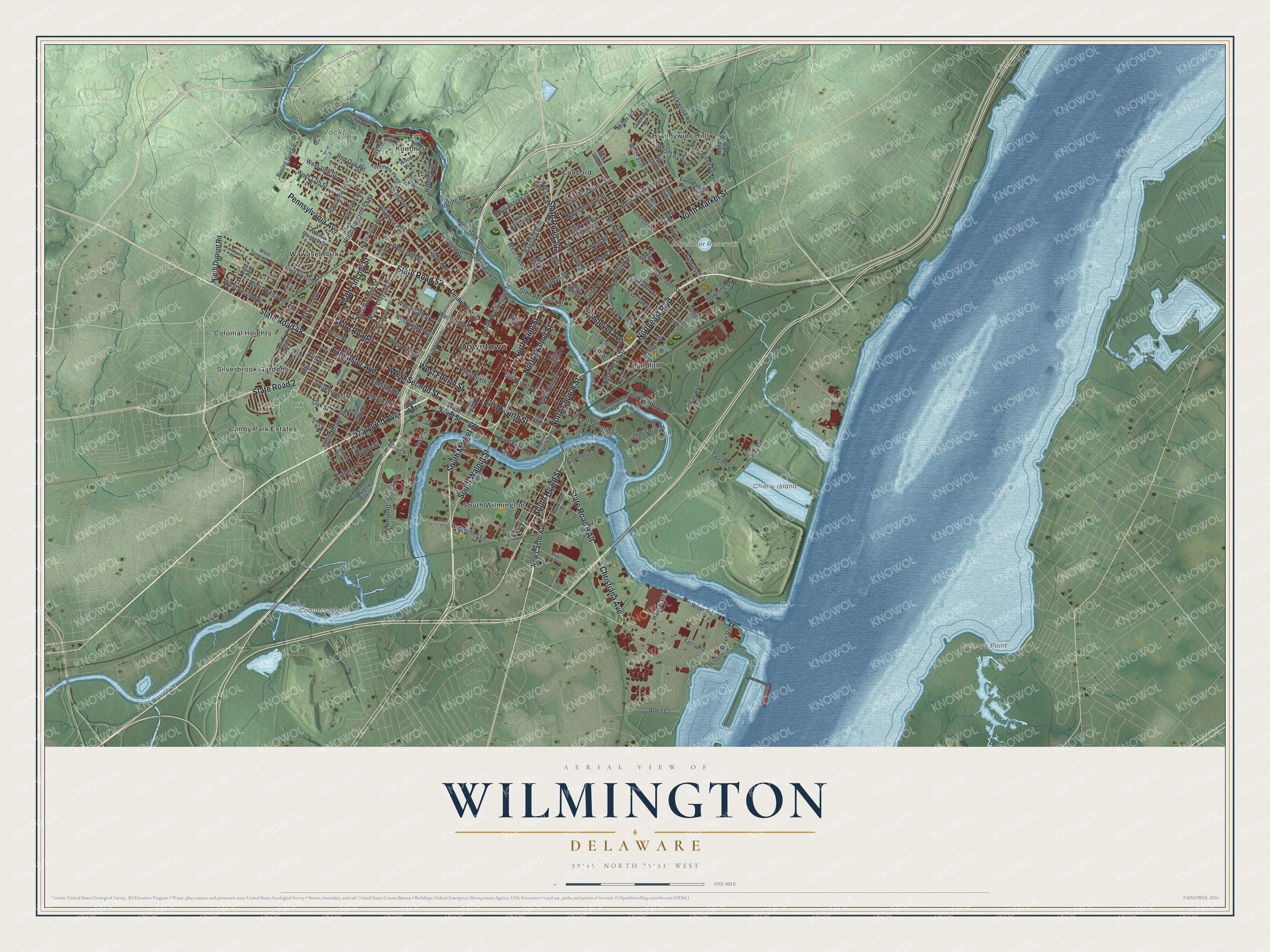
A new map of Wilmington, Delaware, made in 2026 and printed to order on thick archival matte paper.
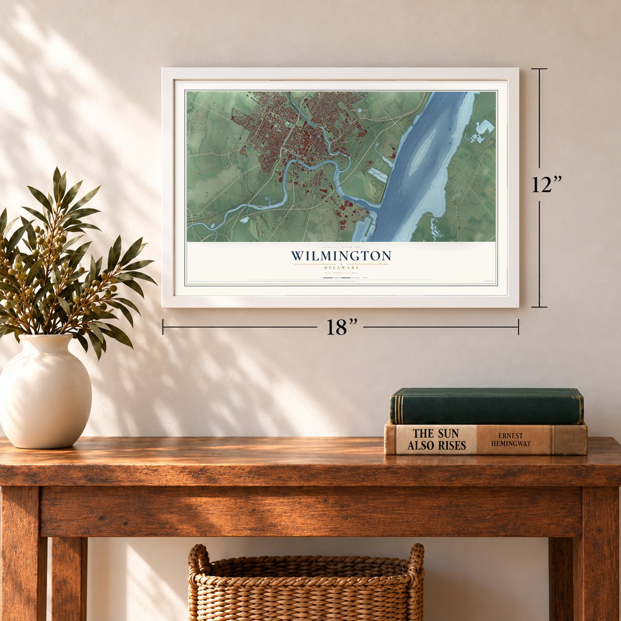
12" x 18" Archival Matte Print
A Map of Home. A Work of Art.
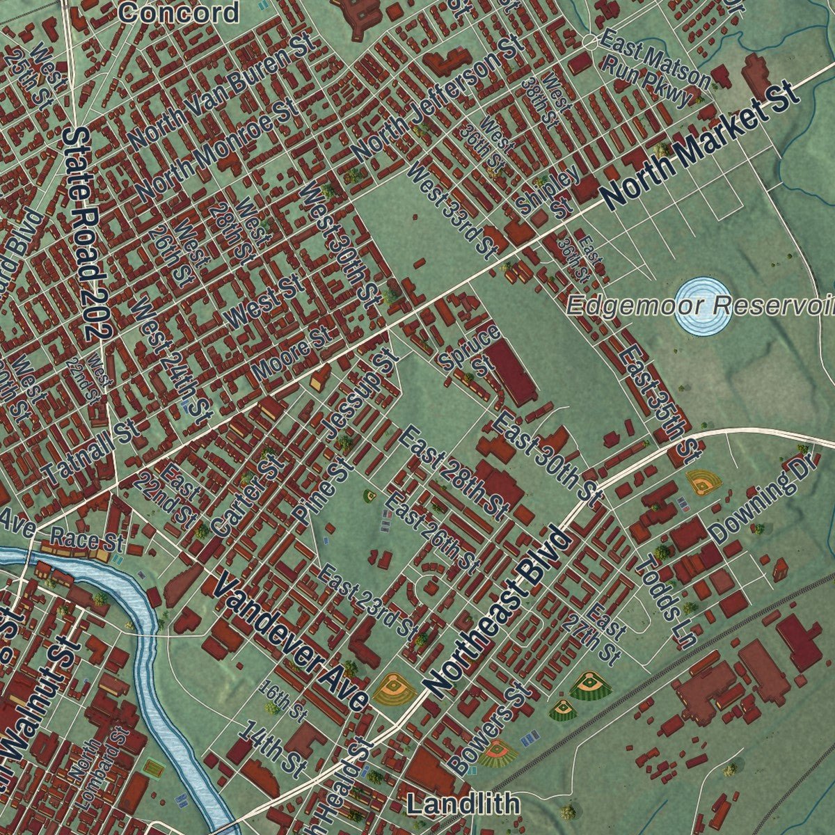
Explore Wilmington, Delaware from a whole new perspective. Created using aerial imagery and detailed geographic data, this map captures Wilmington building by building, with labeled streets, familiar landmarks, and shaded topographical relief that highlights the natural contours of the landscape.
Combining modern data with the timeless character of a vintage atlas, this map is just as interesting up close as it is beautiful on the wall. Whether you grew up in Wilmington, spent memorable years there, or call it home today, this unique map is a great way to celebrate a place that means something to you. Zoom in on the preview to look for your street, and then order a print to put your memories on the wall.
Three ways to hang it
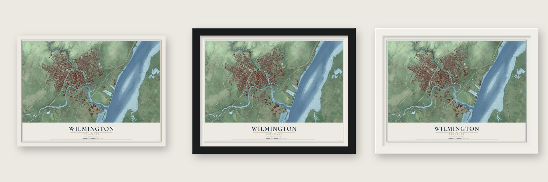
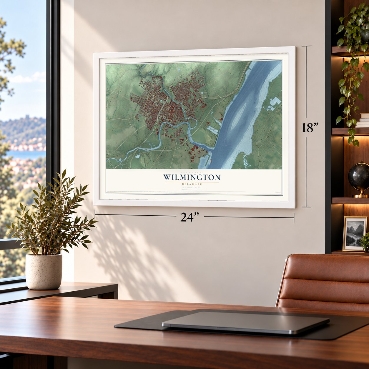
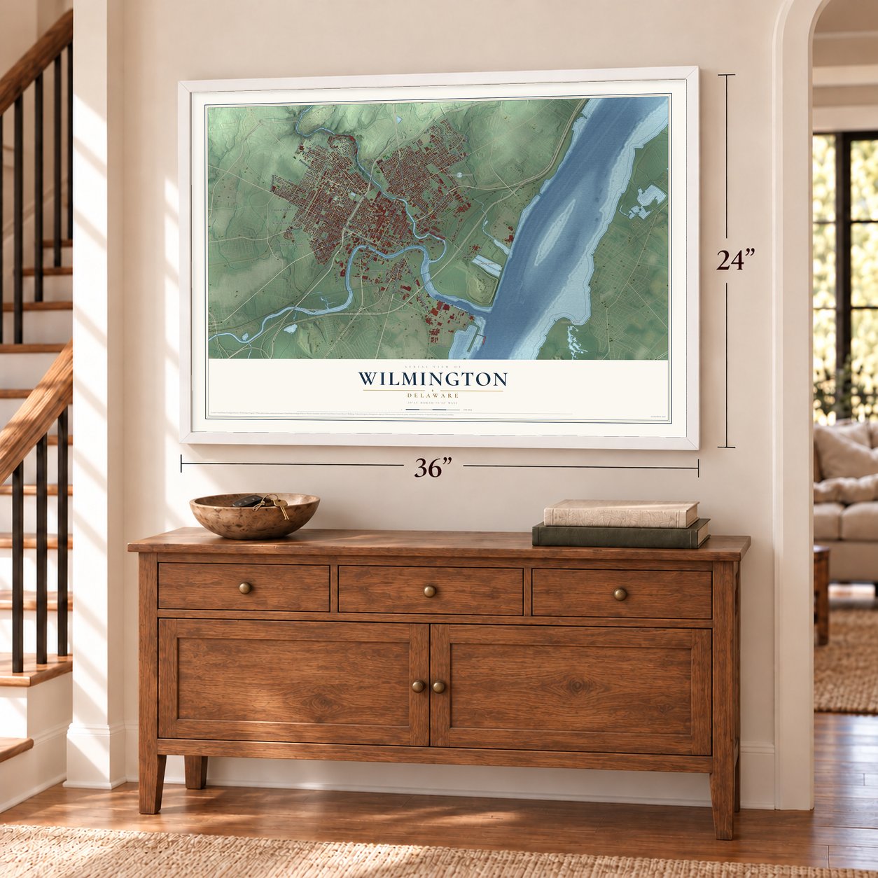
Unframed archival matte, a black wood frame or a white wood frame.
Up close
Geography Worth Displaying
This map was created using accurate cartographic data and authoritative geographic sources, including the U.S. Geological Survey and the Census Bureau. The map brings together terrain, waterways, roads, and building detail. The majority of the streets are labeled, houses are accurately depicted, and the topography is derived from government sources. Combining local data with carefully composed color and shading leads to this beautifully detailed Wilmington artwork for your wall.
Rather than simply showing street outlines, we’ve included as many of the street names as we could reasonably fit on the map while keeping their names legible. Zoom in on the high resolution preview to see exactly what’s on the map. We truly set out to create a statement piece for anyone who loves Wilmington. So whether it’s for you, or a gift for someone you love, we hope this map of Wilmington brings back fond memories.
Read the story behind this map of Wilmington, Delaware from 2026.
About Wilmington, Delaware
Wilmington is a city of 70,898 people and the county seat of New Castle County. It grew where Brandywine Creek meets the Christina River, close to the Delaware. In March 1638, Swedish colonists led by Peter Minuit sailed in on the Kalmar Nyckel and the Fogel Grip. They bought the land from the Lenape chief Mattahorn and built Fort Christina, which, like the river, took its name from Queen Christina of Sweden.
Fort Christina was the seat of New Sweden. In the autumn of 1655, Peter Stuyvesant led a Dutch fleet that seized the Swedish forts, and Swedish rule came to an end. English control began in 1664, and Quakers came to shape the settlement. The village was incorporated as Willingtown in 1731. In 1739 a borough charter from King George II renamed it Wilmington, probably to honor Spencer Compton, Earl of Wilmington.
“Wilmington had her own ships, built chiefly by Quakers, who had taken as their own the little village of Willingtown, laid out between 1730 and 1735 by the Swede, Andrew Justison, and his Quaker son-in-law, Thomas Willing.”
- Occupied by the BritishShortly after the Battle of Brandywine on September 11, 1777, British troops marched into Wilmington and occupied it. They stayed until they pulled out of Philadelphia in 1778.
- Du Pont's powder mill, 1802A French Huguenot trained in making gunpowder, Eleuthère Irénée du Pont arrived in the United States in 1800. Two years later, in 1802, his mill beside the Brandywine, a little north of Brandywine Village, was turning out powder. The company grew into one of the main sources of powder for the nation's armed forces, and Wilmington later took in the village.
- Iron ships in 1868The Civil War brought the city its fastest growth, with orders for ships, railroad cars, gunpowder and shoes. By 1868 Wilmington built more iron ships than the rest of the nation put together, and it ranked first in gunpowder and second in carriages and leather. A horsecar line opened along Delaware Avenue in 1864, so the newly wealthy merchants built big homes farther west.
- Rockford and Brandywine ParksIn the late 19th century, businessman William Poole Bancroft, inspired by Frederick Law Olmsted, pushed for public parkland in Wilmington. His work gave the city its first full park system, including Rockford Park and Brandywine Park.
Find your street
Names on the Wilmington map
Every name below is printed on this map. Look for your street, your school, the park where you played, or the pond down the road.
Places and landmarks16
- Downtown
- Cherry Island
- Edgemoor Reservoir
- Carneys Point
- Coopers Island
- Canby Park
- Rockford Park
- Brandywine Hills
- Canby Park Estates
- Colonial Heights
- Concord
- Kentmere
Show all 16 places
- Landlith
- Silverbrook Gardens
- South Wilmington
- Wawaset Park
Streets and roads174
- State Road 48
- State Road 52
- Pennsylvania Avenue
- Northeast Boulevard
- Lancaster Avenue
- North Market Street
- West Second Street
- Christiana Avenue
- South Market Street
- South Heald Street
- North Church Street
- State Road 9
- Maryland Avenue
- North Walnut Street
- South Walnut Street
- State Road 9 Alt
- North King Street
- East Fourth Street
- West Fourth Street
- North Lincoln Street
- State Road 202
- State Road 2
- Vandever Avenue
- East Twelfth Street
- Twelfth Street
- Delaware Avenue
- Hay Road
- Bayard Avenue
- North Washington Street
- Pine Street
Show all 174 streets
- West 30th Street
- North Bancroft Parkway
- Red Oak Road
- South Park Drive
- Miller Road
- Rising Sun Lane
- North Dupont Street
- West Eighth Street
- Ferry Road
- Garasches Lane
- Coleman Street
- North Park Drive
- West 24th Street
- Glen Avenue
- West Ninth Street
- North Van Buren Street
- North Jefferson Street
- West Sixth Street
- West Third Street
- West Fifth Street
- North Monroe Street
- North Broom Street
- West Street
- Tatnall Street
- West 18th Street
- West Tenth Street
- West 19th Street
- East Seventh Street
- West 14th Street
- Bowers Street
- Gilpin Avenue
- North Clayton Street
- Linden Street
- Baynard Boulevard
- Beech Street
- East Eighth Street
- Justison Street
- Shallcross Avenue
- West 17th Street
- West Lea Boulevard
- Chestnut Street
- Lovering Avenue
- North Heald Street
- Allen Court
- Sycamore Street
- West 37th Street
- Railcar Avenue
- 14th Street
- Todds Lane
- Jessup Street
- South Broom Street
- North Pine Street
- East 28th Street
- Elm Street
- Rockwood Road
- Oak Street
- Riverview Avenue
- East 30th Street
- East 35th Street
- Carter Street
- East Front Street
- Delmarva Lane
- River Road
- Christina River Road
- Hawthorne Drive
- Brown Street
- Augustine Road
- Industrial Street
- Riddle Avenue
- Downing Drive
- Hausel Road
- Ivy Road
- New Castle Avenue
- West Front Street
- North Dupont Road
- North Union Street
- West Eleventh Street
- Foster Place
- West 13th Street
- East 27th Street
- East 23rd Street
- Park Drive
- Stadium Drive
- East 26th Street
- West Seventh Street
- North Harrison Street
- Woodlawn Avenue
- Shipley Street
- East Matson Run Parkway
- Maple Street
- West 28th Street
- West 34th Street
- West 25th Street
- East 22nd Street
- West 20th Street
- Rosemont Avenue
- West 26th Street
- Kentmere Parkway
- West 39th Street
- Wood Road
- Conrad Street
- Spruce Street
- Shipyard Drive
- Seventh Avenue
- West 33rd Street
- Highspeed Way
- Bradford Street
- Commerce Street
- Ogle Avenue
- Coleridge Road
- Moore Street
- Race Street
- Walton Road
- State Road 4
- North Rodney Street
- North Adams Street
- North Orange Street
- North Lombard Street
- West 38th Street
- South Franklin Street
- West 36th Street
- 16th Street
- Tulip Street
- Geddes Street
- Brandywine Falls Road
- Hill Road
- Pyle Street
- New York Avenue
- Fordham Road
- North Scott Street
- Tower Drive
- West 22nd Street
- South Clayton Street
- East Fifth Street
- South Madison Street
- South Buttonwood Street
- Hawley Street
- Banning Street
- South Sycamore Street
- 13th Street
- East 36th Street
- Wilmington Avenue
- James Court
- Alico Road
Names are listed as they appear on the printed map. Zoom into the product photos to find them.
The art of mapping a place
How This Map Was Made
Real places. Remarkable detail. Discover the layers that turn geographic data into a map of home.

The view from above
Aerial imagery reveals the character of the land: woodland, open fields, and the patterns of a place.

The shape of the land
Elevation data brings hills, valleys, and subtle changes in the landscape into view.

The details of home
Roads, waterways, and building footprints come together to make the map feel unmistakably local.

Geography becomes art
Considered color, shading, and typography bring the layers together in a map made for your wall.


Process illustrated with Mendon, Massachusetts. Aerial imagery: USDA NAIP. Terrain: USGS 3D Elevation Program. Map details and finished artwork: KNOWOL.
The Details
About This Print
Choose an archival matte print, or a black or white Ayous wood frame. The archival matte print is unframed.
Select your size and finish above to see the matching product image and price.
Materials & Craftsmanship
A contemporary map with the character of a classic atlas, printed on archival matte paper. Optional frames are made from Ayous wood.
Your printed map does not include the watermark shown in the full-map preview.
Shipping & Delivery
Free shipping within the United States. Every print is made to order in the USA.
Buying a gift? Add a note in your cart and we'll include it. We never put prices in the package.
Prints ship within 2 to 3 business days. Allow 7 to 10 days total from ordering for delivery. Timing may vary during holidays or periods of high order volume.
Read our shipping policy.
Returns and damaged prints
Each print is made to order. Change-of-mind refunds are not available after production.
If your print arrives damaged, misprinted or incorrect, contact support@knowol.com within 30 days of receiving it. Include your order number, photos and a description of the issue.
Read our full refund and replacement policy. For questions about your order, email support@knowol.com.
Find your town
Looking for another city?
Find a map of home in our Delaware collection, or any town in the country.
Nearby
Maps of towns near Wilmington
Know someone from one of these towns? Their map makes a great gift.
 Edgemoor
, Delaware
From $39.99See the map
 Bellefonte
, Delaware
From $39.99See the map
 Elsmere
, Delaware
From $39.99See the map
More maps nearby: Newport, Wilmington Manor, Greenville, New Castle and Ardencroft.