
Search for another town





Free U.S. delivery 7 to 10 days after you order
Woodland Hills, California Map Art
A new map of Woodland Hills, California, made in 2026 and printed to order on thick archival matte paper.
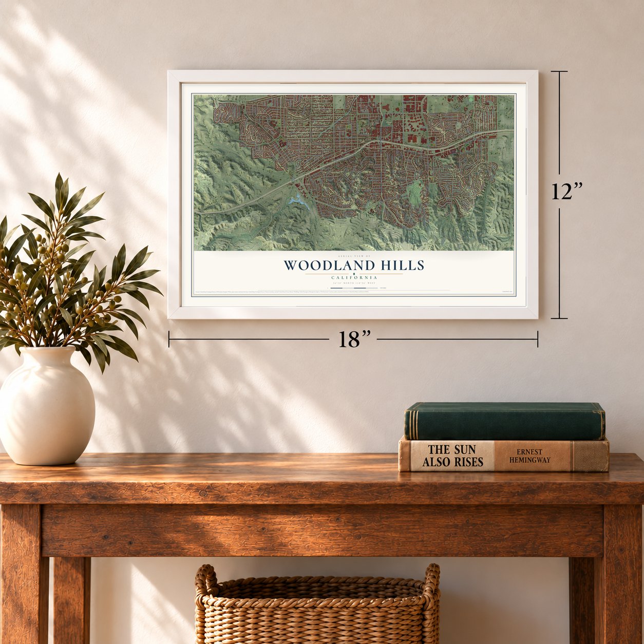
12" x 18" Archival Matte Print
A Map of Home. A Work of Art.
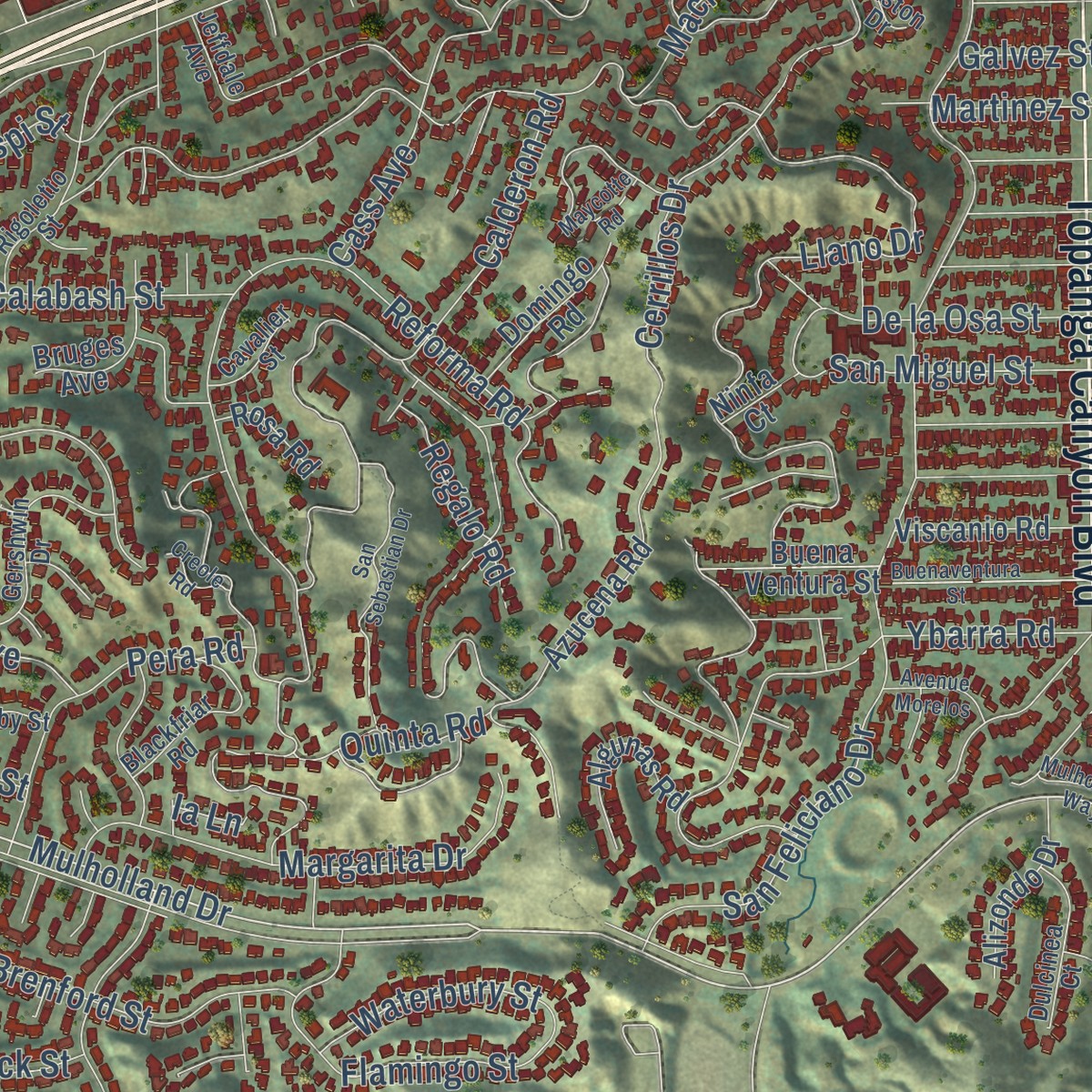
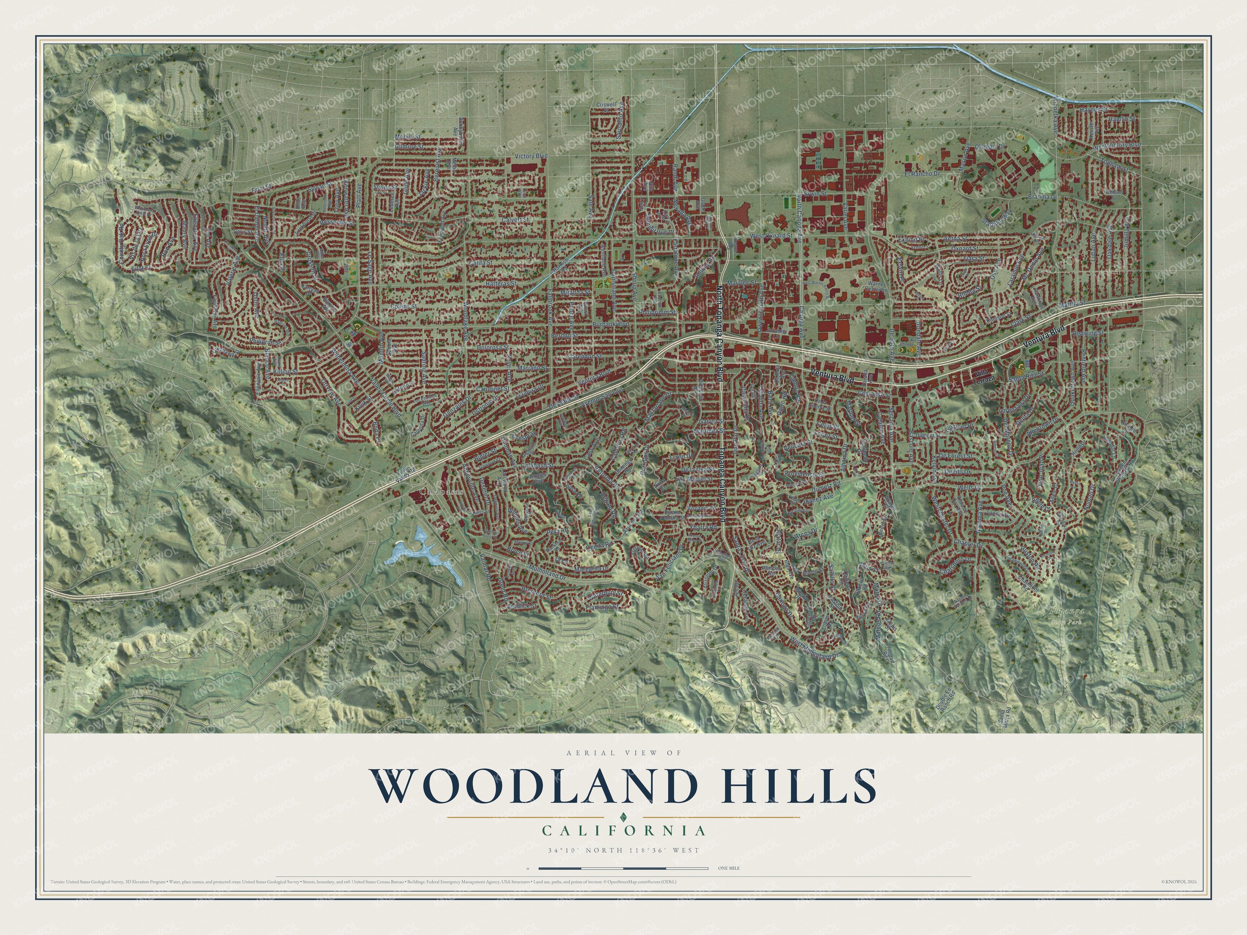
Explore Woodland Hills, California from a whole new perspective. Created using aerial imagery and detailed geographic data, this map captures Woodland Hills building by building, with labeled streets, familiar landmarks, and shaded topographical relief that highlights the natural contours of the landscape.
Combining modern data with the timeless character of a vintage atlas, this map is just as interesting up close as it is beautiful on the wall. Whether you grew up in Woodland Hills, spent memorable years there, or call it home today, this unique map is a great way to celebrate a place that means something to you. Zoom in on the preview to look for your street, and then order a print to put your memories on the wall.
Three ways to hang it
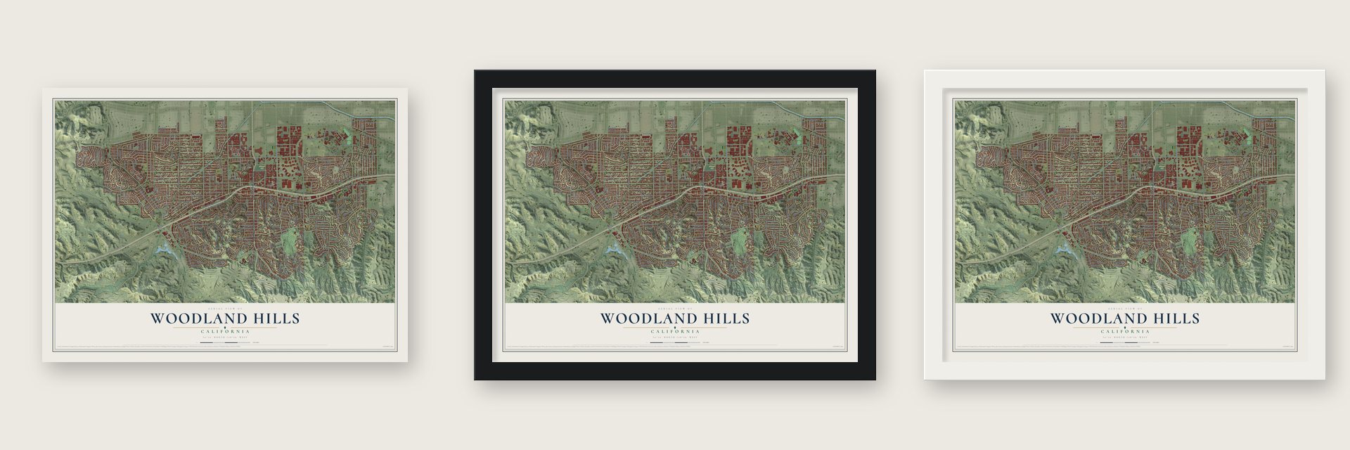
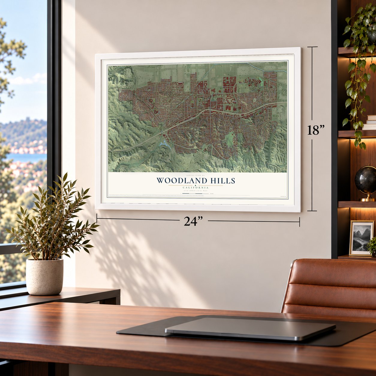
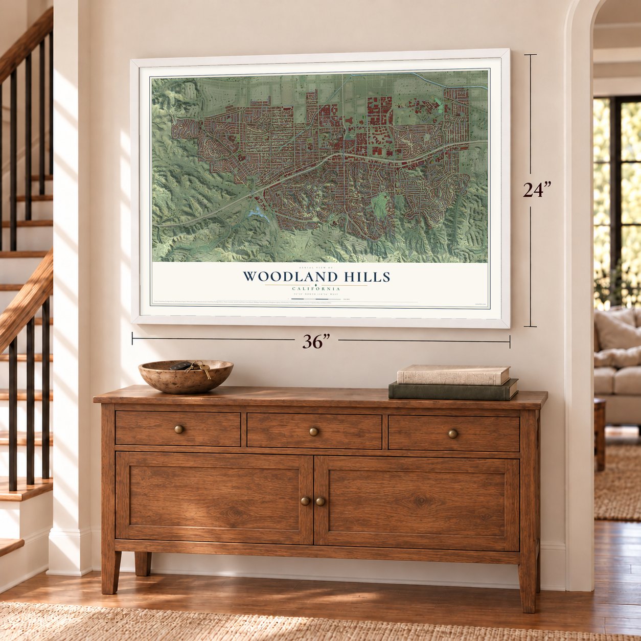
Unframed archival matte, a black wood frame or a white wood frame.
Up close
Geography Worth Displaying
This map was created using accurate cartographic data and authoritative geographic sources, including the U.S. Geological Survey and the Census Bureau. The map brings together terrain, waterways, roads, and building detail. The majority of the streets are labeled, houses are accurately depicted, and the topography is derived from government sources. Combining local data with carefully composed color and shading leads to this beautifully detailed Woodland Hills artwork for your wall.
Rather than simply showing street outlines, we’ve included as many of the street names as we could reasonably fit on the map while keeping their names legible. Zoom in on the high resolution preview to see exactly what’s on the map. We truly set out to create a statement piece for anyone who loves Woodland Hills. So whether it’s for you, or a gift for someone you love, we hope this map of Woodland Hills brings back fond memories.
Read the story behind this map: Detailed Map of Woodland Hills, California.

Find your street
Names on the Woodland Hills map
Every name below is printed on this map. Look for your street, your school, the park where you played, or the pond down the road.
Places and landmarks3
- Calabasas
- Topanga State Park
- Warner Park
Streets and roads319
- Ventura Boulevard
- Topanga Canyon Boulevard
- North Topanga Canyon Boulevard
- Canoga Avenue
- Alhama Drive
- North Canoga Avenue
- Laramie Avenue
- Mulholland Drive
- Aetna Street
- Farralone Avenue
- Oxnard Street
- Burbank Boulevard
- Victory Boulevard
- Hatteras Street
- Califa Street
- Calvert Street
- Winnetka Avenue
- Avenue San Luis
- Erwin Street
- Friar Street
- Cass Avenue
- Valley Circle Boulevard
- Collins Street
- Mariano Street
- Dolorosa Street
- Clarendon Street
- Wells Drive
- Woodlake Avenue
- Sylvan Street
- Tiara Street
Show all 319 streets
- San Feliciano Drive
- De Soto Avenue
- Penfield Avenue
- Lubao Avenue
- Sale Avenue
- Del Moreno Drive
- Martha Street
- Don Pio Drive
- Dumetz Road
- West Mulholland Drive
- Shoup Avenue
- El Canon Avenue
- Capistrano Avenue
- Del Valle Street
- Fallbrook Avenue
- Oakdale Avenue
- Kelvin Avenue
- Llano Drive
- Serrania Avenue
- Campo Road
- Berdon Street
- Clark Street
- Macfarlane Drive
- Natoma Avenue
- Morro Drive
- Manton Avenue
- Costanso Street
- Leonora Drive
- Saltillo Street
- Jumilla Avenue
- Miranda Street
- Cerrillos Drive
- Ybarra Road
- Gilmore Street
- Platt Avenue
- San Miguel Street
- Bessemer Street
- Canzonet Street
- Calderon Road
- Ostronic Drive
- Wilhelmina Avenue
- Le Sage Avenue
- Chapter Drive
- Owensmouth Avenue
- Variel Avenue
- Marmol Drive
- De la Osa Street
- Calatrana Drive
- Sadring Avenue
- Royer Avenue
- Poe Avenue
- Providencia Street
- Brahma Drive
- Quakertown Avenue
- Lopez Street
- Eilat Street
- Philiprim Street
- Philiprimm Street
- Dunman Avenue
- Reforma Road
- Crespi Street
- Santa Rita Street
- Martinez Street
- Mason Avenue
- Westchester Drive
- Quedo Drive
- Velicata Street
- Delita Drive
- Arcos Drive
- Valerie Avenue
- Summit Vue Drive
- Blanco Avenue
- Olympic Drive
- Calabash Street
- Ruston Road
- Orrville Avenue
- Ponce Avenue
- Margarita Drive
- Baza Avenue
- Oso Avenue
- Willens Avenue
- Canoga Drive
- Kenwater Avenue
- Brenford Street
- Deseret Drive
- Crosson Drive
- Celes Street
- Mc Donie Avenue
- Killion Street
- Haynes Street
- Dumont Place
- County Oak Road
- Rios Street
- Allentown Drive
- El Rancho Drive
- Maury Avenue
- Flamingo Street
- Tendilla Avenue
- Rod Avenue
- Bascule Avenue
- Styles Street
- Nevada Avenue
- Rolling Road
- Marylee Street
- Ellenview Avenue
- West Oxnard Street
- Nomad Drive
- West Victory Boulevard
- Catalon Avenue
- Alatar Drive
- Mobile Street
- De Forest Street
- Abbeyville Avenue
- Quinta Road
- Ostin Avenue
- Vis de la Luz
- Berquist Avenue
- Bigler Street
- Gonzales Drive
- Pat Avenue
- Topham Street
- Santa Lucia Drive
- Lorenzana Drive
- Chatsboro Drive
- Glide Avenue
- Waterbury Street
- Sausalito Avenue
- Elba Place
- Exhibit Place
- Stadium Way
- Jackie Avenue
- Greer Road
- Rhoda Street
- Regalo Road
- Nora Lynn Drive
- Randi Avenue
- Marcos Road
- Kelvin Place
- Ardwick Street
- Kivik Street
- Darro Road
- Redwing Street
- Irondale Avenue
- Hamlin Street
- Galvez Street
- Don Juan Place
- Neddy Avenue
- Ibanez Avenue
- Pera Road
- Adele Drive
- Valmar Road
- Tony Avenue
- Bryce Street
- Aledo
- Boda Place
- Ia Lane
- Villa Terraza
- Long Valley Road
- Escobedo Drive
- Lockhurst Drive
- Ensenada Drive
- Ladrillo Street
- Fairhaven Avenue
- Kentland Avenue
- Buena Ventura Street
- De la Guerra Street
- Larkwood Avenue
- Fenwood Avenue
- Queen Victoria Road
- Julianna Lane
- Dumont Street
- Adele Court
- Vista de Oro Avenue
- Lederer Avenue
- Tosca Road
- Alizondo Drive
- Abargo Street
- Cezanne Avenue
- Pampas Road
- Double Ee Ranch Road
- Viscanio Road
- De la Luz Avenue
- Azucena Road
- Warner Center Lane
- Hood Drive
- Iglesia Drive
- Larryan Drive
- Bedel Street
- Ellenvale Avenue
- San Blas Avenue
- Glade Avenue
- Melba Avenue
- Algunas Road
- Lander Drive
- Coulson Street
- Dubois Avenue
- Kessler Avenue
- Trinidad Road
- Domingo Road
- Bruges Avenue
- Paralta Avenue
- Wallis Lane
- Castillo Street
- Crestlawn Street
- Santa Maria Road
- Chaumont Road
- Criswell Street
- Arundel Drive
- Bobbyboyar Avenue
- Villeboso Avenue
- Deodar Lane
- Camello Road
- Empis Street
- Calenda Drive
- Nita Avenue
- Elzevir Road
- Caris Street
- Harnish Road
- Rawlings Avenue
- Ramara Avenue
- Vassar Avenue
- De Roja Avenue
- Rosa Road
- Lobos Road
- Alamo Street
- Delano Street
- Debs Avenue
- Ninfa Court
- Faust Avenue
- Woodland View Drive
- Rigoletto Street
- Gershwin Drive
- Deanwood Drive
- Medina Drive
- Gainford Street
- Blackfriar Road
- Cavalier Street
- Peterson Avenue
- Degovia Avenue
- Puente Road
- Rudnick Avenue
- Dulcinea Court
- Winnetka Circle
- Alerion Place
- Los Encinos Way
- Pattilar Avenue
- Mosby Street
- Natoma Estates Drive
- Lena Avenue
- Heiss Street
- Jeffdale Avenue
- Picasso Avenue
- Rozie Avenue
- Leydon Avenue
- Miston Drive
- Adler Avenue
- Fleury Lane
- Medina Road
- Buenaventura Street
- McDonie Avenue
- Elvira Road
- San Sebastian Drive
- Yucatan Avenue
- Almidor Avenue
- El Escorpion Road
- Tenango Drive
- Albers Street
- West Warner Ranch Road
- Clipstone Street
- Lund Street
- Exhibit Court
- Villena Street
- Marchena Street
- Cumorah Crest Drive
- North Tendilla Avenue
- Cachalote Street
- Nofral Road
- Phaeton Drive
- Mulholland Way
- Avenue Morelos
- Gypsy Lane
- Maycotte Road
- Crape Myrtle Court
- Melgre Avenue
- Cromer Place
- Creole Road
- Fountain Park Lane
- Collins Place
- Califa Place
Names are listed as they appear on the printed map. Zoom into the product photos to find them.
The art of mapping a place
How This Map Was Made
Real places. Remarkable detail. Discover the layers that turn geographic data into a map of home.

The view from above
Aerial imagery reveals the character of the land: woodland, open fields, and the patterns of a place.

The shape of the land
Elevation data brings hills, valleys, and subtle changes in the landscape into view.

The details of home
Roads, waterways, and building footprints come together to make the map feel unmistakably local.

Geography becomes art
Considered color, shading, and typography bring the layers together in a map made for your wall.


Process illustrated with Mendon, Massachusetts. Aerial imagery: USDA NAIP. Terrain: USGS 3D Elevation Program. Map details and finished artwork: KNOWOL.
The Details
About This Print
Choose an archival matte print, or a black or white Ayous wood frame. The archival matte print is unframed.
Select your size and finish above to see the matching product image and price.
Materials & Craftsmanship
A contemporary map with the character of a classic atlas, printed on archival matte paper. Optional frames are made from Ayous wood.
Your printed map does not include the watermark shown in the full-map preview.
Shipping & Delivery
Free shipping within the United States. Every print is made to order in the USA.
Buying a gift? Add a note in your cart and we'll include it. We never put prices in the package.
Prints ship within 2 to 3 business days. Allow 7 to 10 days total from ordering for delivery. Timing may vary during holidays or periods of high order volume.
Read our shipping policy.
Returns and damaged prints
Each print is made to order. Change-of-mind refunds are not available after production.
If your print arrives damaged, misprinted or incorrect, contact support@knowol.com within 30 days of receiving it. Include your order number, photos and a description of the issue.
Read our full refund and replacement policy. For questions about your order, email support@knowol.com.
Find your town
Looking for another city?
Find a map of home in our California collection, or any town in the country.
Nearby
Maps of towns near Woodland Hills
Know someone from one of these towns? Their map makes a great gift.
 Hidden Hills
, California
From $39.99See the map
 Calabasas
, California
From $39.99See the map
 West Hills
, California
From $39.99See the map
More maps nearby: Tarzana, Winnetka, Topanga, Reseda and Bell Canyon.