
Search for another town




Free U.S. delivery 7 to 10 days after you order
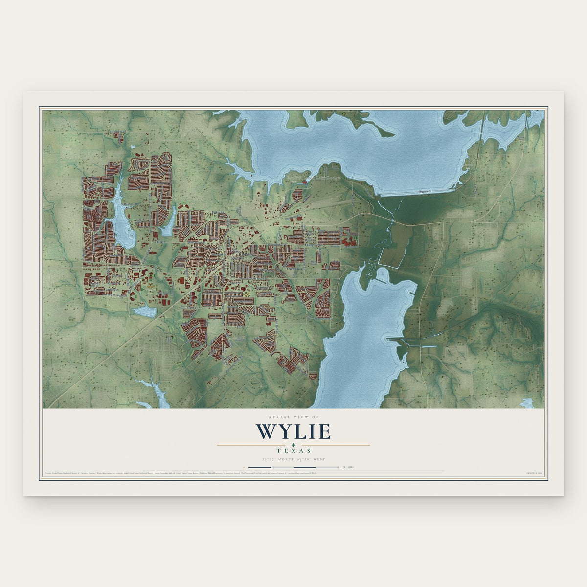
Wylie, Texas Map Art
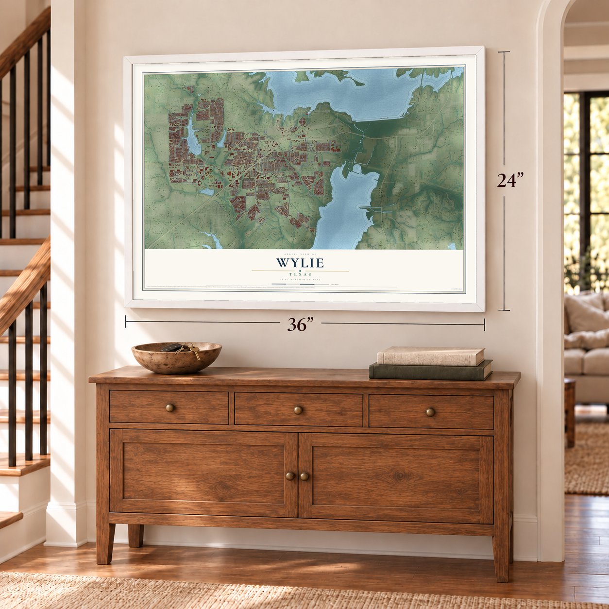
A new map of Wylie, Texas, made in 2026 and printed to order on thick archival matte paper.
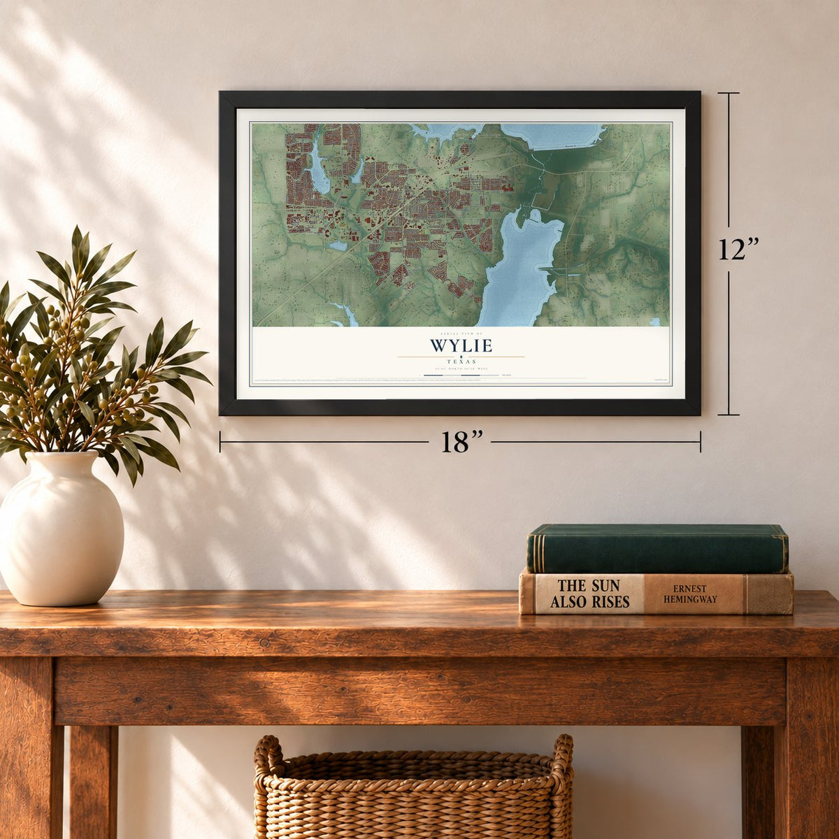
12" x 18" Archival Matte Print
A Map of Home. A Work of Art.
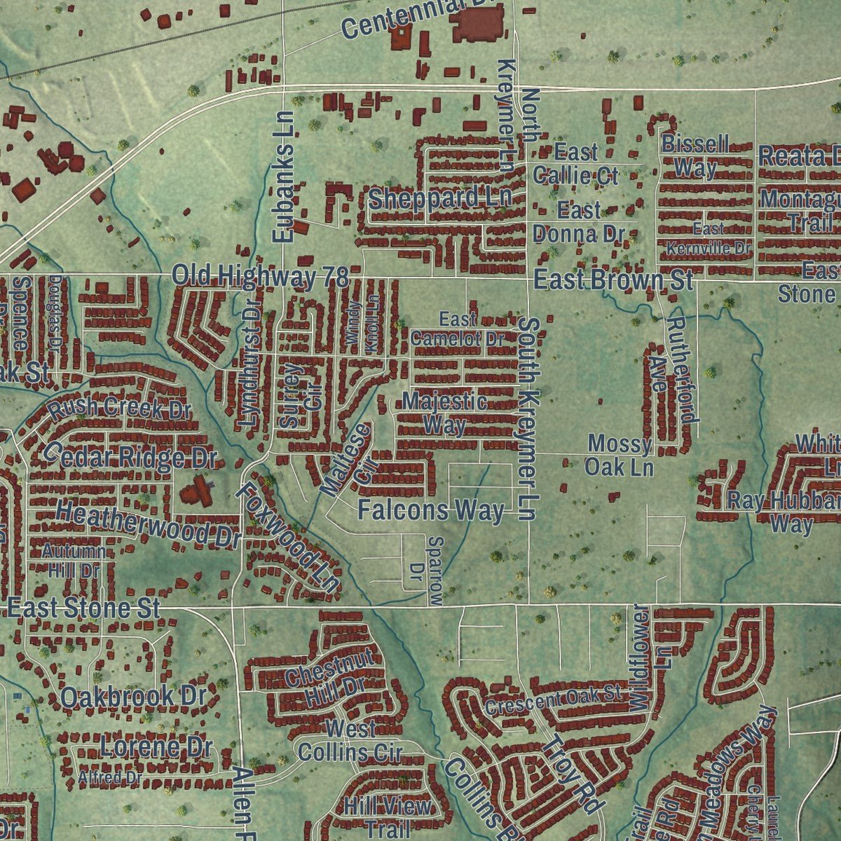
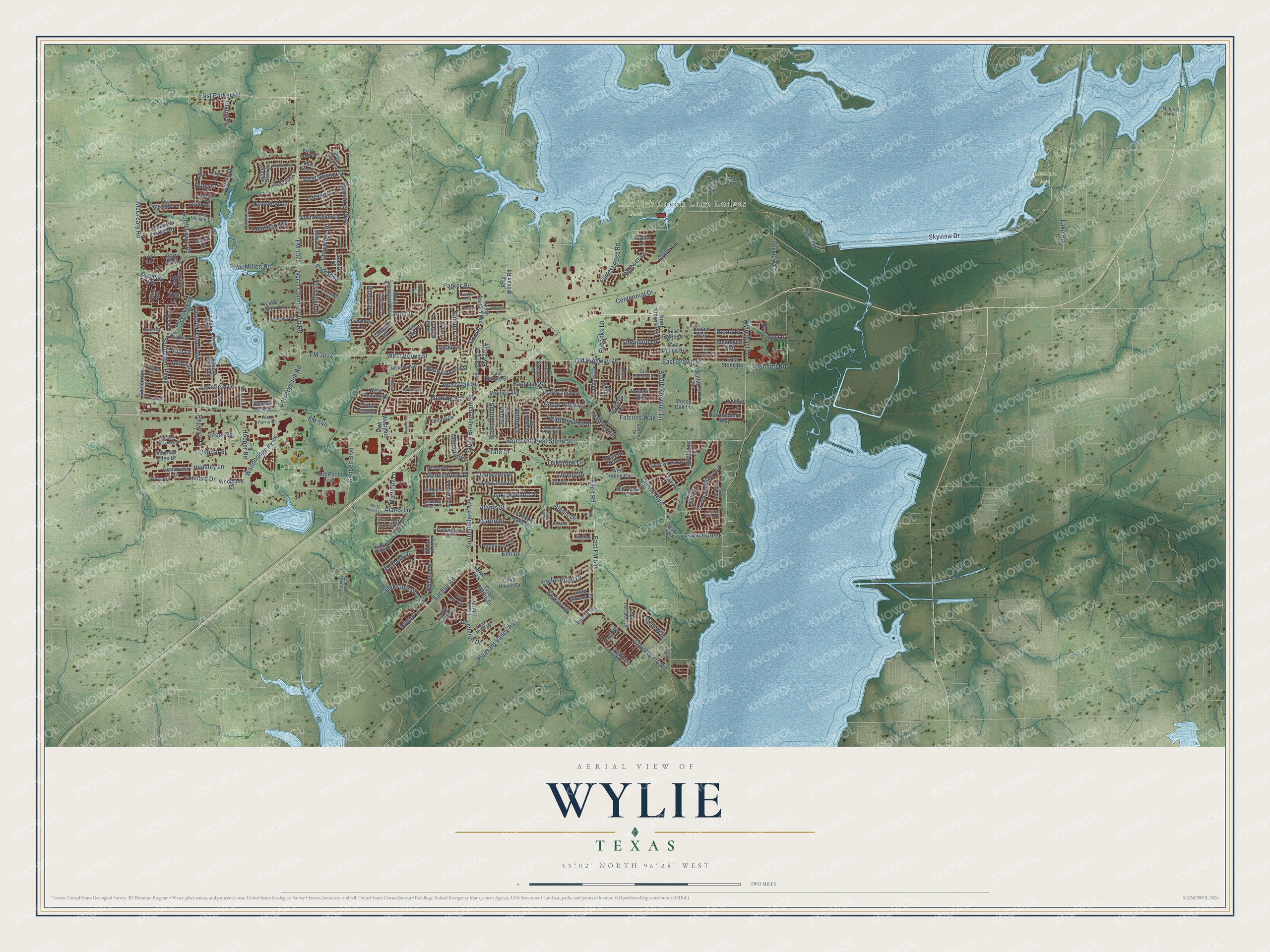
This beautifully detailed map of Wylie, Texas was created in 2026 using aerial imagery combined with modern topographical, census, street and landmark data. It's a modern aerial view of Wylie in Collin County, Texas, that combines modern data with a vintage aesthetic. Zoom in on the preview and look for your block.
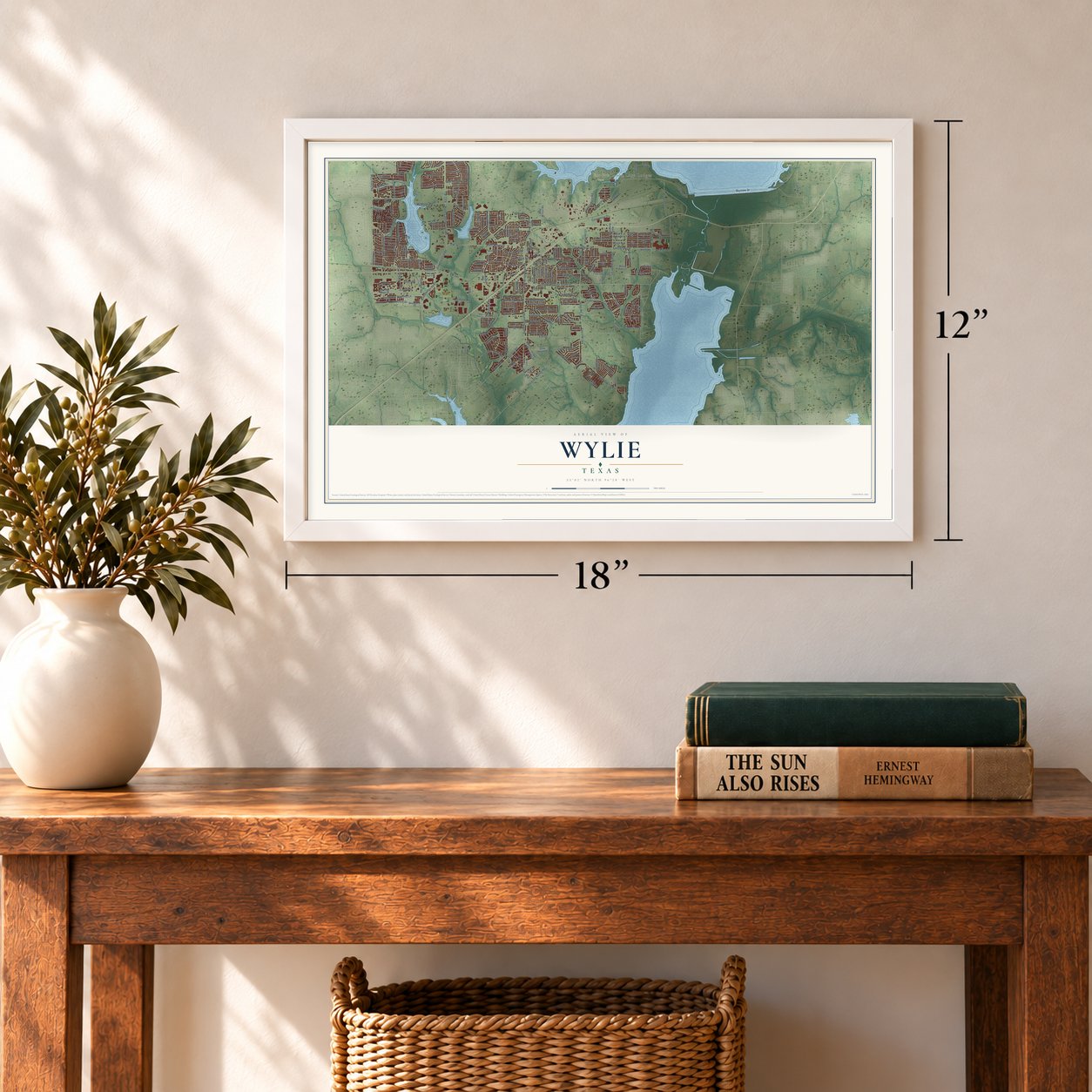
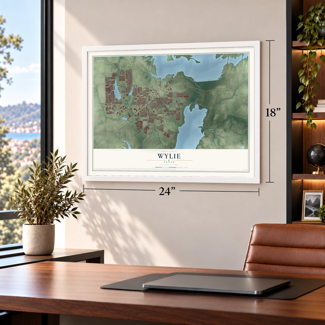
Three ways to hang it
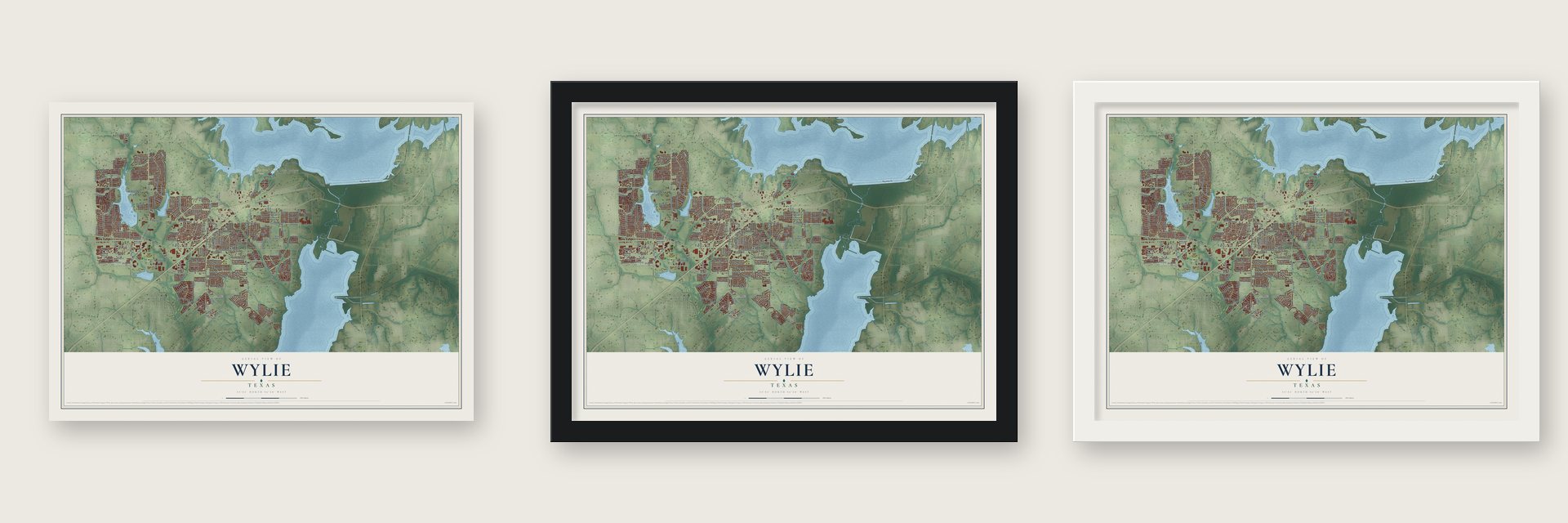
Unframed archival matte, a black wood frame or a white wood frame.
Up close
Real geography. Art worth displaying.
This map was created using accurate cartographic data and authoritative geographic sources, including the U.S. Geological Survey and the Census Bureau. The map brings together terrain, waterways, roads, and building detail. The majority of the streets are labeled, houses are accurately depicted, and the topography is derived from government sources. Combining local data with carefully composed color and shading leads to this beautifully detailed Wylie artwork for your wall.
Rather than simply showing street outlines, we’ve included as many of the street names as we could reasonably fit on the map while keeping their names legible. Zoom in on the high resolution preview to see exactly what’s on the map. We truly set out to create a statement piece for anyone who loves Wylie. So whether it’s for you, or a gift for someone you love, we hope this map of Wylie brings back fond memories.

About Wylie, Texas
Organized in the early 1870s, Wylie first bore the name Nickelville, reportedly drawn from its first store. Railroad expansion shifted the business center north and gave the community its present name, while agriculture, water infrastructure, and regional urban growth later shaped its development.
- Railroads Remade TownIn 1886, the Gulf, Colorado and Santa Fe Railway laid tracks north of Nickelville, and local businesses moved near the line within the next year.
- Name and Civic StatusThe new location honored railroad right-of-way agent W. D. Wylie, and the city incorporated in 1887 with an alderman government.
- Farming and DepressionExpanded dairy farming for the Dallas market helped Wylie grow during the Great Depression, reaching 914 residents by 1940.
- Lake and Water OfficesLake Lavon's construction and the North Texas Municipal Water District offices helped raise Wylie's population to 1,804 in 1960.
- Modern Census CountThe 2020 census recorded 57,526 residents in Wylie.
Find your street
Names on the Wylie map
Every name below is printed on this map. Look for your street, your school, the park where you played, or the pond down the road.
Places and landmarks5
- East Fork Park
- Founders Park
- Lavonia Park
- Lavon Lake Lodges
- Mallard Park
Streets and roads242
- FM 544
- FM 1378
- Old Highway 78
- East FM 544
- FM 2514
- North Country Club Road
- South Ballard Avenue
- FM 3412
- East Stone Street
- Allen Road
- Sachse Road
- County Line Road
- Country Club Road
- Parker Road
- McCreary Road
- Woodbridge Parkway
- Hooper Road
- Creek Crossing Lane
- Alanis Drive
- Dominion Drive
- West Oak Street
- Hensley Lane
- Pleasant Valley Road
- West Brown Street
- Stone Road
- Alanis Lane
- Alanis Street
- Elm Drive
- North Lewis Road
- Jeffrey Drive
Show all 242 streets
- Skyview Drive
- East Brown Street
- Troy Road
- McMillen Road
- Springwell Parkway
- East Oak Street
- Sanden Boulevard
- Ann Drive
- Lakefield Drive
- Forrest Ross Road
- Collins Boulevard
- Riverway Lane
- Lake Road
- Foxwood Lane
- Wooded Creek Avenue
- Park Boulevard
- South Birmingham Street
- Bennett Road
- Spinnaker Way
- Stoneybrook Drive
- Eubanks Lane
- Spencer Lane
- Heatherwood Drive
- Oakbrook Drive
- South Kreymer Lane
- Cedar Point Drive
- Hilltop Lane
- Centennial Drive
- Skyview Court
- Falcons Way
- Wylie East Drive
- Regency Drive
- Teakwood Drive
- East Parker Road
- Steel Road
- West Anchor Drive
- Leeward Lane
- Beaver Creek
- Fairland Drive
- Concord Drive
- Boxwood Lane
- Colby Lane
- Cedar Ridge Drive
- Cheyenne Road
- Lake Wichita Drive
- Hogue Lane
- Cloudcroft Drive
- Martin Drive
- Lorene Drive
- Admiral Drive
- Martinez Lane
- Sheppard Lane
- Side Road
- South First Street
- Berkley Drive
- Tuskegee Drive
- Memorial Drive
- Elaine Drive
- Fleming Street
- Capital Street
- Kamber Lane
- Hanceville
- Pirate Drive
- Ruby Drive
- Carver
- Misty Way
- Reata Drive
- Rice Drive
- Vicki Lane
- North Ballard Avenue
- East Stone Road
- Paul Wilson Road
- Road 378
- Dogwood Drive
- Creekside Estates Drive
- West Fleming Drive
- Vinson Road
- Glen Knoll Drive
- Cedar Creek Drive
- Grandview Drive
- Silver Creek Drive
- Torch Lily Lane
- Lariat Lane
- Central Park Drive
- North Westgate Way
- Green Meadows Way
- North Kreymer Lane
- Rutherford Avenue
- Westgate Way
- Wildflower Lane
- Lake Ranch Lane
- Canyon Lake Drive
- Ewing Way
- East Fork
- Quail Meadow Drive
- West Jefferson Street
- Lake Terrace Drive
- Rush Creek Drive
- Guy Poole Trail
- South Third Street
- Cooper Drive
- Cold Stream Drive
- East Marble Street
- Ray Hubbard Way
- Woodland Court
- Majestic Way
- Rockbrook Drive
- Chestnut Hill Drive
- Stone Glen Drive
- Gary Way
- Lyndhurst Drive
- Emerald Edge Drive
- Lucy Lane
- Beaumont Drive
- Crape Myrtle Drive
- Highland Drive
- Eastfork Lane
- Southfork Boulevard
- Covington Drive
- Masters Avenue
- Silvery Pine Avenue
- West Collins Circle
- Goldenrain Drive
- Dove Haven Drive
- Mossy Oak Lane
- Auburn Drive
- Surrey Circle
- North Gaston Drive
- East Callie Court
- Fairfield Drive
- Hill View Trail
- Maltese Circle
- East Donna Drive
- Montague Trail
- Trail Side Road
- Carlton Road
- Leslie Drive
- Tyler Trail
- Spence Drive
- Lowndes Lane
- Pearl Road
- Leesa Drive
- Jayden Lane
- Bissell Way
- Whitney Lane
- Kylie Lane
- Jena Avenue
- Patricia Drive
- Jock Lane
- West Glenwood Drive
- Shadow Glen Lane
- Millbrook Lane
- Highland Ridge Drive
- Pvt Road 5313
- Willow Way
- River Oaks Circle
- Crescent Oak Street
- Rain Tree Drive
- East Camelot Drive
- Nickelville Lane
- Claybrook Drive
- Amber Waves Lane
- Avalon Park Road
- Country Club Drive
- Kennedy Drive
- Water Fall Way
- West Hinnant Drive
- Autumn Sage Drive
- Rock Rose Lane
- Thornberry Drive
- Claiborn Lane
- Fountain Drive
- Nathan Drive
- Irondale Drive
- Olivia Drive
- Waterford Drive
- Autumn Hill Drive
- Twin Lakes Drive
- Alan Harris Drive
- Indigo Drive
- Nancy Drive
- Highland Oaks Drive
- Sparrow Drive
- Landing Drive
- Burchshire Lane
- Douglas Drive
- Hightimber Lane
- West Alanis Lane
- Glen Knoll
- Alfred Drive
- North Jackson Avenue
- Patrick Street
- Laurel Cherry Lane
- Preston Lane
- Windcrest Drive
- Pendall Drive
- East Kernville Drive
- Turks Cap Trail
- Stillwater Drive
- West Linden Avenue
- Windsor Drive
- Oleander Drive
- Windy Knoll Lane
- Shady Vista Drive
- Trenton Drive
- Commerce Street
- Brookside Drive
- Orchard Trail
- Towngate Drive
- Terrace Drive
- Gordon
- Eli Court
Names are listed as they appear on the printed map. Zoom into the product photos to find them.
The art of mapping a place
How This Map Was Made
Real places. Remarkable detail. Discover the layers that turn geographic data into a map of home.

The view from above
Aerial imagery reveals the character of the land: woodland, open fields, and the patterns of a place.

The shape of the land
Elevation data brings hills, valleys, and subtle changes in the landscape into view.

The details of home
Roads, waterways, and building footprints come together to make the map feel unmistakably local.

Geography becomes art
Considered color, shading, and typography bring the layers together in a map made for your wall.


Process illustrated with Mendon, Massachusetts. Aerial imagery: USDA NAIP. Terrain: USGS 3D Elevation Program. Map details and finished artwork: KNOWOL.
The Details
About This Print
Choose an archival matte print, or a black or white Ayous wood frame. The archival matte print is unframed.
Select your size and finish above to see the matching product image and price.
Materials & Craftsmanship
A contemporary map with the character of a classic atlas, printed on archival matte paper. Optional frames are made from Ayous wood.
Your printed map does not include the watermark shown in the full-map preview.
Shipping & Delivery
Free shipping within the United States. Every print is made to order in the USA.
Buying a gift? Add a note in your cart and we'll include it. We never put prices in the package.
Prints ship within 2 to 3 business days. Allow 7 to 10 days total from ordering for delivery. Timing may vary during holidays or periods of high order volume.
Read our shipping policy.
Returns and damaged prints
Each print is made to order. Change-of-mind refunds are not available after production.
If your print arrives damaged, misprinted or incorrect, contact support@knowol.com within 30 days of receiving it. Include your order number, photos and a description of the issue.
Read our full refund and replacement policy. For questions about your order, email support@knowol.com.
Find your town
Looking for another city?
Find a map of home in our Texas collection.
Nearby
Maps of towns near Wylie
Know someone from one of these towns? Their map makes a great gift.
 St. Paul
, Texas
From $39.99See the map
 Seis Lagos
, Texas
From $39.99See the map
 Murphy
, Texas
From $39.99See the map