
Search for another town





Free U.S. delivery 7 to 10 days after you order
Sachse, Texas Map Art
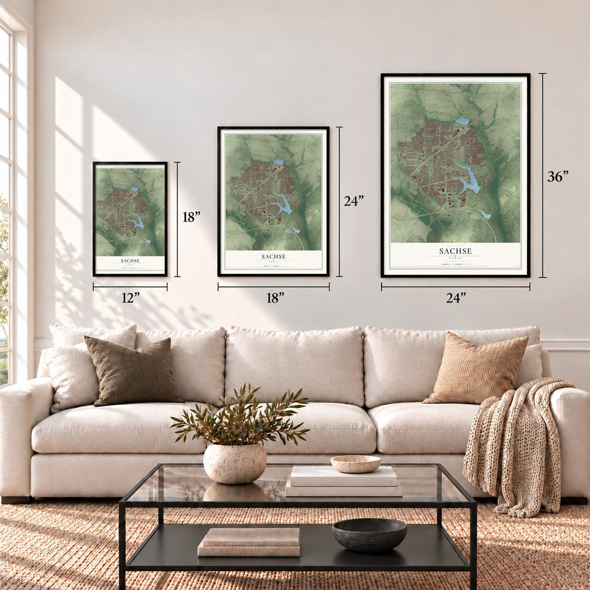
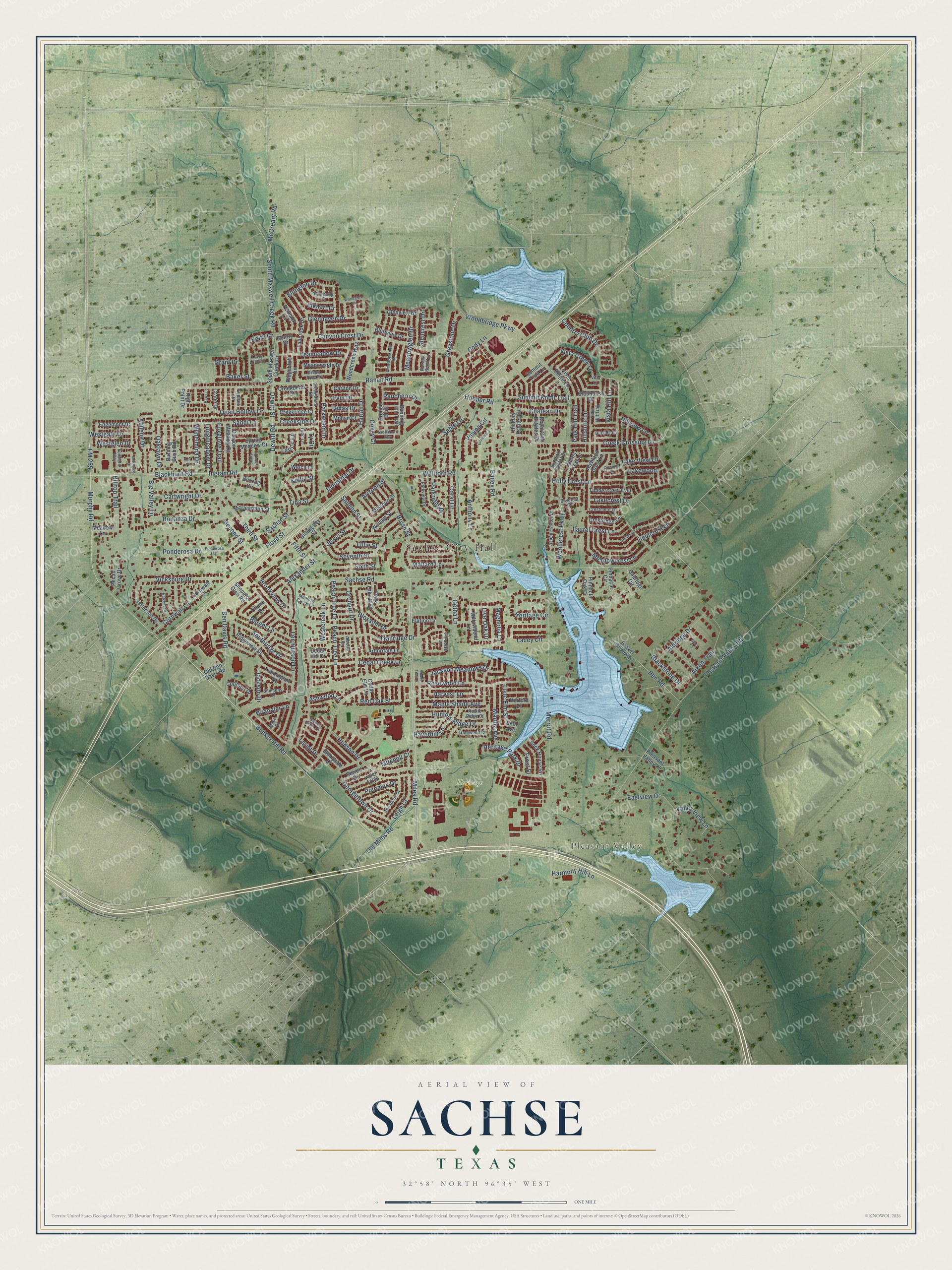
A new map of Sachse, Texas, made in 2026 and printed to order on thick archival matte paper.
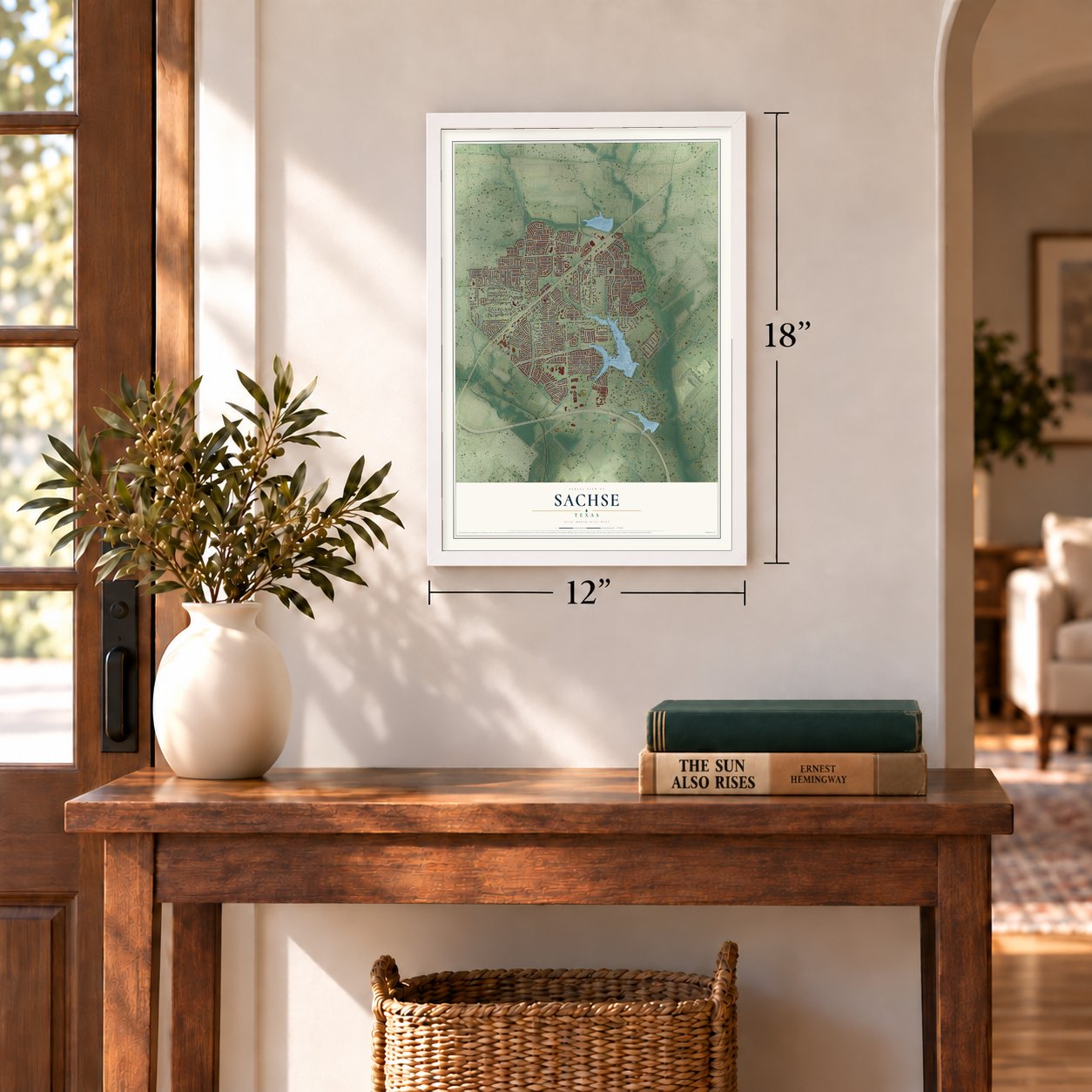
12" x 18" Archival Matte Print
A Map of Home. A Work of Art.
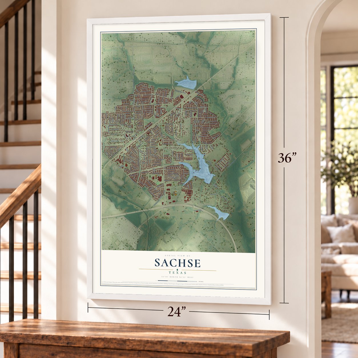
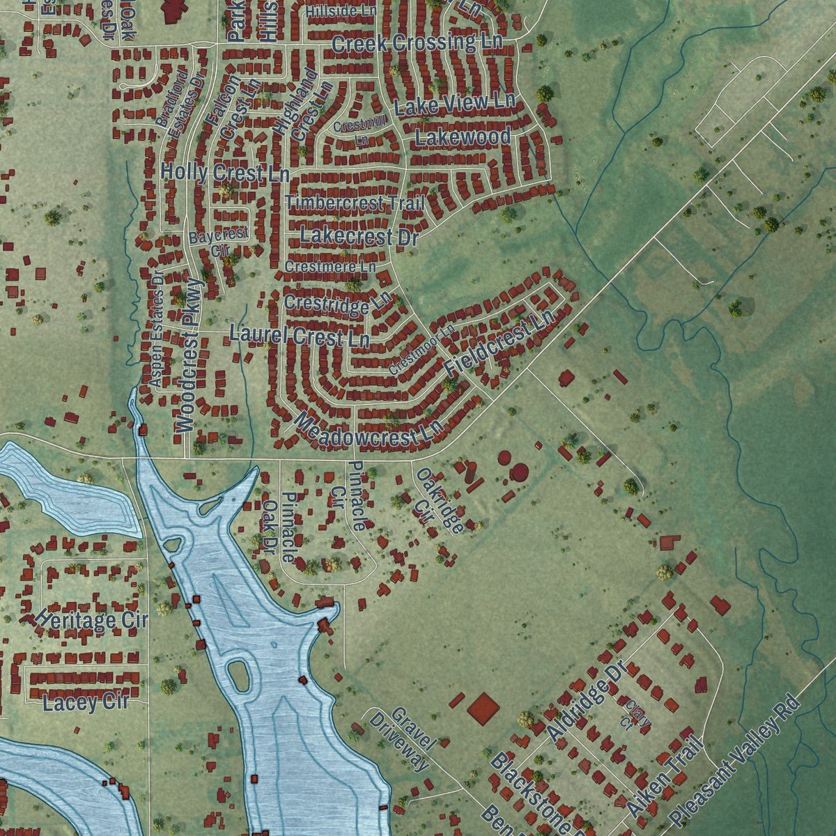
This beautifully detailed map of Sachse, Texas was created in 2026 using aerial imagery combined with modern topographical, census, street and landmark data. It's a modern aerial view of Sachse in Dallas County, Texas, that combines modern data with a vintage aesthetic. Zoom in on the preview and look for your block.
Three ways to hang it
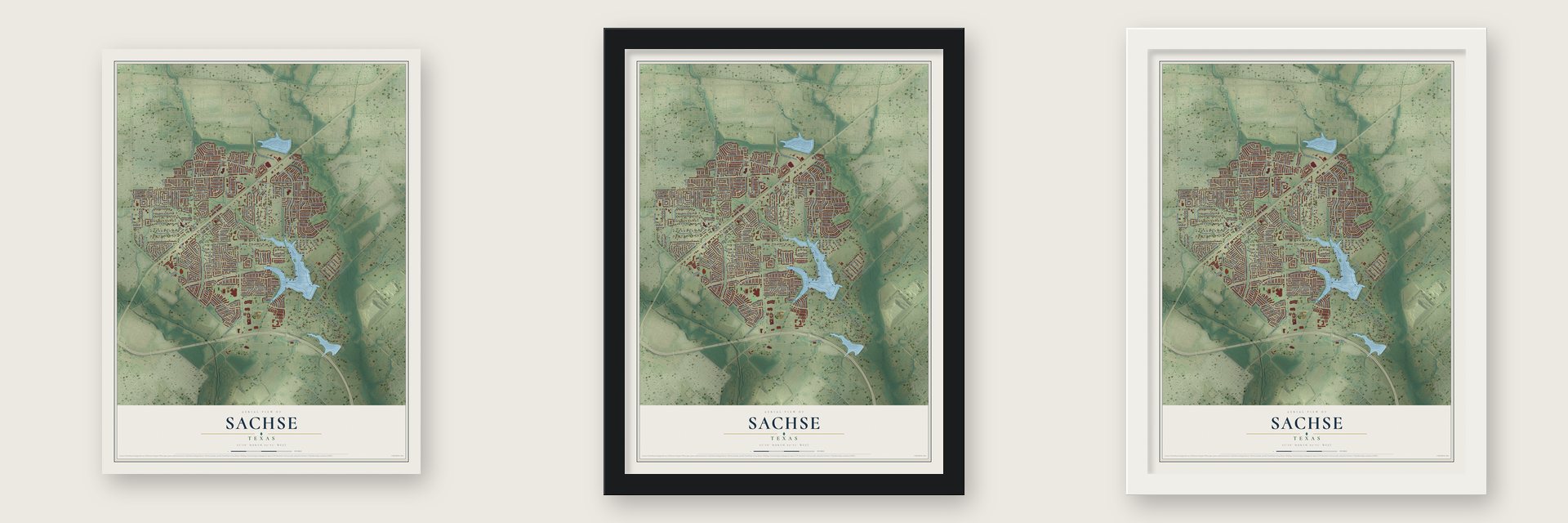
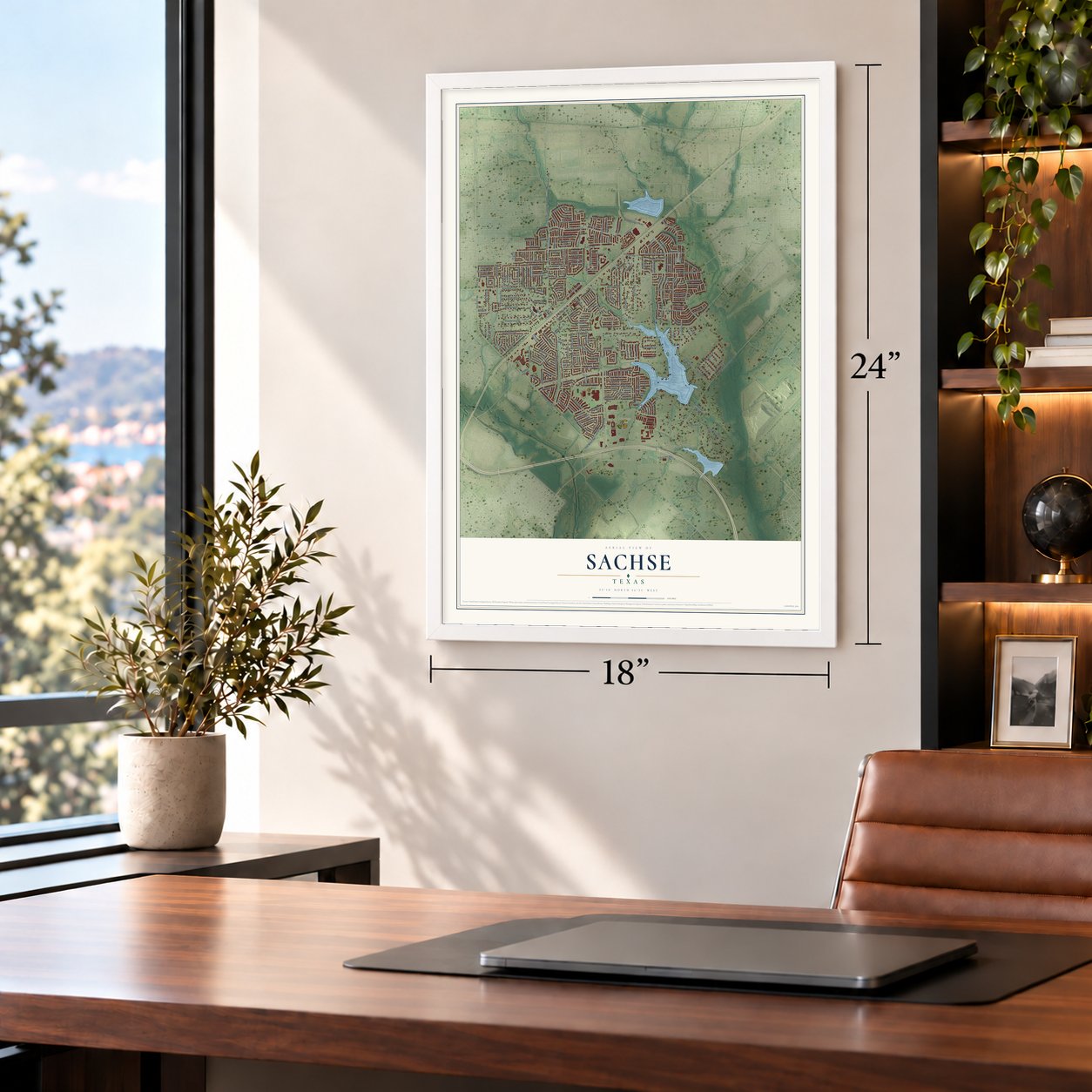
Unframed archival matte, a black wood frame or a white wood frame.
Up close
Real geography. Art worth displaying.
This map was created using accurate cartographic data and authoritative geographic sources, including the U.S. Geological Survey and the Census Bureau. The map brings together terrain, waterways, roads, and building detail. The majority of the streets are labeled, houses are accurately depicted, and the topography is derived from government sources. Combining local data with carefully composed color and shading leads to this beautifully detailed Sachse artwork for your wall.
Rather than simply showing street outlines, we’ve included as many of the street names as we could reasonably fit on the map while keeping their names legible. Zoom in on the high resolution preview to see exactly what’s on the map. We truly set out to create a statement piece for anyone who loves Sachse. So whether it’s for you, or a gift for someone you love, we hope this map of Sachse brings back fond memories.
About Sachse, Texas
Sachse is a city in Dallas County, and the 2020 census counted 27,103 residents. Postal service began in the community in 1892. Residents established local municipal government in 1956.
- Dallas CountySachse is part of Dallas County.
- 27,103 residentsRecorded by the 2020 census.
- Post office in 1892Postal service began in the community in 1892.
- Incorporated in 1956Residents established local municipal government in 1956.
- Founded in 1845The community was formally founded in 1845.
Find your street
Names on the Sachse map
Every name below is printed on this map. Look for your street, your school, the park where you played, or the pond down the road.
Places and landmarks3
- Sachse City Hall
- Pleasant Valley
- Heritage Park
Streets and roads241
- Miles Road
- Bunker Hill Road
- Murphy Road
- FM 2551
- Blackburn Road
- Pleasant Valley Road
- Sachse Road
- Third Street
- Dewitt Road
- Dewitt Street
- Fifth Street
- Ben Davis Road
- Ranch Road
- Creek Crossing Lane
- South Maxwell Creek Road
- McCreary Road
- Longmeadow Drive
- Hooper Road
- Bailey Road
- Sixth Street
- Rosewood Lane
- Seventh Street
- Red Oak Street
- Floyd Street
- Sandi Lane
- Peach Tree Lane
- Oaklawn Drive
- Woodbridge Parkway
- Hudson Drive
- Country Club Drive
Show all 241 streets
- Merritt Road
- Canyon Crest Drive
- Eastview Drive
- Lee Hutson Lane
- Westcreek Lane
- Williford Road
- Old Miles Road
- Woodcrest Parkway
- Ingram Road
- Bryan Street
- Trailridge Drive
- Blossom Drive
- Holly Crest Lane
- Maple Shade Avenue
- Fieldcrest Lane
- Meadowcrest Lane
- Salmon Street
- Coral Lane
- Sachse Street
- Cedar Creek Lane
- Quail Hollow Drive
- Summit Knoll Trail
- Harlan Drive
- Hunters Ridge Drive
- Lacey Circle
- Tina Street
- Anthony Lane
- Bonanza Drive
- Ponderosa Drive
- Sable Lane
- Orchard Drive
- Southridge Drive
- Vicksburg Drive
- Cornwall Lane
- Lakecrest Drive
- Heritage Circle
- Cody Lane
- Ben Road
- Meadowglen Drive
- Haverhill Lane
- Aldridge Drive
- Jackson Meadows Drive
- Abilene Drive
- Laurel Crest Lane
- Leameadow Drive
- Vista Creek Lane
- Cartwright Drive
- Magnolia Lane
- Graystone Drive
- Harvest Lane
- Georgetown Drive
- Jewel Street
- Martha Avenue
- Getha Lane
- Leigh Court
- Barger Lane
- Keith Lane
- Brookview Drive
- Parkwood Drive
- Heritage Park Drive
- Harmony Hill Lane
- Chateau Drive
- Hilltop Trail
- Valley View Lane
- Creekside Drive
- Mitchell Court
- Ellington Drive
- Foxglove Trail
- Wilhelmina Drive
- Glenhaven Drive
- Aiken Trail
- Parkridge Drive
- Lillie Street
- Hillshire Lane
- Potomac Drive
- Elkhart Drive
- Park Hill Trail
- Hillview Lane
- Peach Tree Drive
- Wrangler Lane
- Big Valley Lane
- Vista Hill Lane
- Alexander Street
- Jackson Drive
- Lone Elm Street
- Westgate Drive
- Mallard Lane
- Lakewood
- Vicuna Circle
- Blackstone Drive
- Ranchero Drive
- Lake View Lane
- Texas Drive
- Industrial Drive
- Irvin Drive
- Glencrest Drive
- Ashwood Lane
- Second Street
- Baker Street
- Westglen Drive
- Ty Circle
- Lance Lane
- Live Oak Drive
- Frost Street
- Arizona Street
- Lariat Drive
- Covey Court
- Kellie Street
- Grant Drive
- South Maxwell Creek Drive
- Meadowside Drive
- Burning Bush Road
- Clubhouse Drive
- Woodcreek Way
- Cornwall Street
- Ridgeview Drive
- Gravel Driveway
- Falcon Crest Lane
- Willowbend Lane
- Highland Crest Lane
- Billingsley Street
- Fallbrook Drive
- Jefferson Drive
- Vista Ridge Lane
- Park Lake Boulevard
- Pinnacle Oak Drive
- High Point Drive
- Timbercrest Trail
- Canyon Meadow Drive
- Stampede Drive
- Cotillion Drive
- Pinnacle Circle
- Creekridge Court
- Spring Meadow Drive
- Herring Circle
- Rock House Road
- Cedar Elm Lane
- Bronco Bluff
- Bluffview Drive
- McDearmon Street
- Pennington Drive
- Running Iron Trail
- Creekbend Court
- Crestridge Lane
- Glenview Drive
- William Street
- Edgemont Drive
- Pleasant Valley Place
- Elation Drive
- Pecan Grove Drive
- Arbordale Lane
- Royal Oak Estates Drive
- Sewell Drive
- Missouri Street
- Ridgebluff Lane
- Mohan Court
- Fenwick Court
- Carlton Drive
- Summit Trail Lane
- Hickory Estates Drive
- Oakridge Circle
- Meadow Lane
- Old Ben Davis Road
- Shepard Glen Road
- Welch Lane
- Herford Drive
- Crane Drive
- Gentry Drive
- Chene Drive
- Cedar Hill Court
- Seth Avenue
- Green Tree Drive
- Sweet Gum Lane
- Parkview Drive
- Bradford Estates Drive
- Aspen Estates Drive
- Meadow Creek Lane
- Annapolis Court
- Baycrest Circle
- Creekstone Drive
- Valley Forge
- Edinburgh Drive
- Simmons Drive
- Harvest Bend Lane
- Gatewood Court
- Crestmere Lane
- Hillside Lane
- Meadowknoll Drive
- Rustic Ridge Court
- Lake Hill Trail
- Tracy Lynn Lane
- Mane Drive
- Fairfield Way
- Fieldlark Drive
- Todd Lane
- Paradise Lane
- Alberta Circle
- Ponderosa Trail
- Crestmoor Lane
- Natchez Drive
- Saddlehorn Way
- Shady View Court
- Ermine Circle
- Crestmill Lane
- Southgate Drive
- Clary Court
- Woodglen Lane
- Hawk Lane
- Shade Tree Court
- Cori Place
- Vista Lane
Names are listed as they appear on the printed map. Zoom into the product photos to find them.
The art of mapping a place
How This Map Was Made
Real places. Remarkable detail. Discover the layers that turn geographic data into a map of home.

The view from above
Aerial imagery reveals the character of the land: woodland, open fields, and the patterns of a place.

The shape of the land
Elevation data brings hills, valleys, and subtle changes in the landscape into view.

The details of home
Roads, waterways, and building footprints come together to make the map feel unmistakably local.

Geography becomes art
Considered color, shading, and typography bring the layers together in a map made for your wall.


Process illustrated with Mendon, Massachusetts. Aerial imagery: USDA NAIP. Terrain: USGS 3D Elevation Program. Map details and finished artwork: KNOWOL.
The Details
About This Print
Choose an archival matte print, or a black or white Ayous wood frame. The archival matte print is unframed.
Select your size and finish above to see the matching product image and price.
Materials & Craftsmanship
A contemporary map with the character of a classic atlas, printed on archival matte paper. Optional frames are made from Ayous wood.
Your printed map does not include the watermark shown in the full-map preview.
Shipping & Delivery
Free shipping within the United States. Every print is made to order in the USA.
Buying a gift? Add a note in your cart and we'll include it. We never put prices in the package.
Prints ship within 2 to 3 business days. Allow 7 to 10 days total from ordering for delivery. Timing may vary during holidays or periods of high order volume.
Read our shipping policy.
Returns and damaged prints
Each print is made to order. Change-of-mind refunds are not available after production.
If your print arrives damaged, misprinted or incorrect, contact support@knowol.com within 30 days of receiving it. Include your order number, photos and a description of the issue.
Read our full refund and replacement policy. For questions about your order, email support@knowol.com.
Find your town
Looking for another city?
Find a map of home in our Texas collection.
Nearby
Maps of towns near Sachse
Know someone from one of these towns? Their map makes a great gift.
 Murphy
, Texas
From $39.99See the map
 Rowlett
, Texas
From $39.99See the map
 Garland
, Texas
From $39.99See the map
More maps nearby: Wylie, St. Paul, Parker, Seis Lagos and Richardson.