
Search for another town




Free U.S. delivery 7 to 10 days after you order
Garland, Texas Map Art
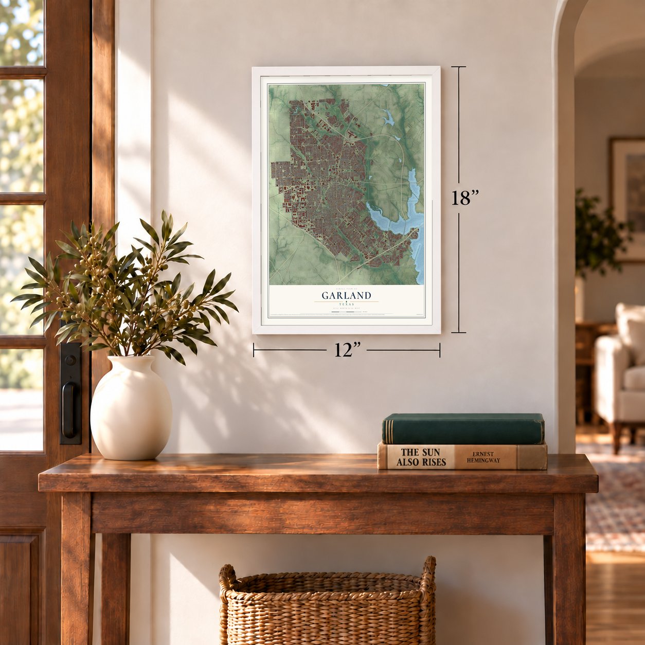
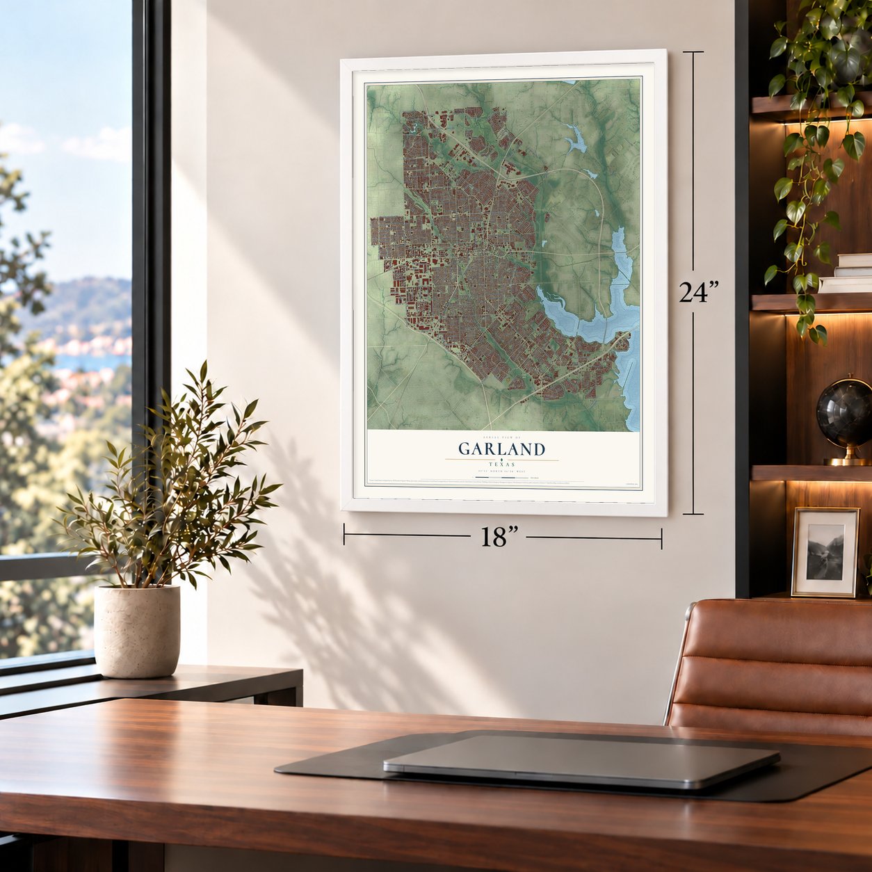
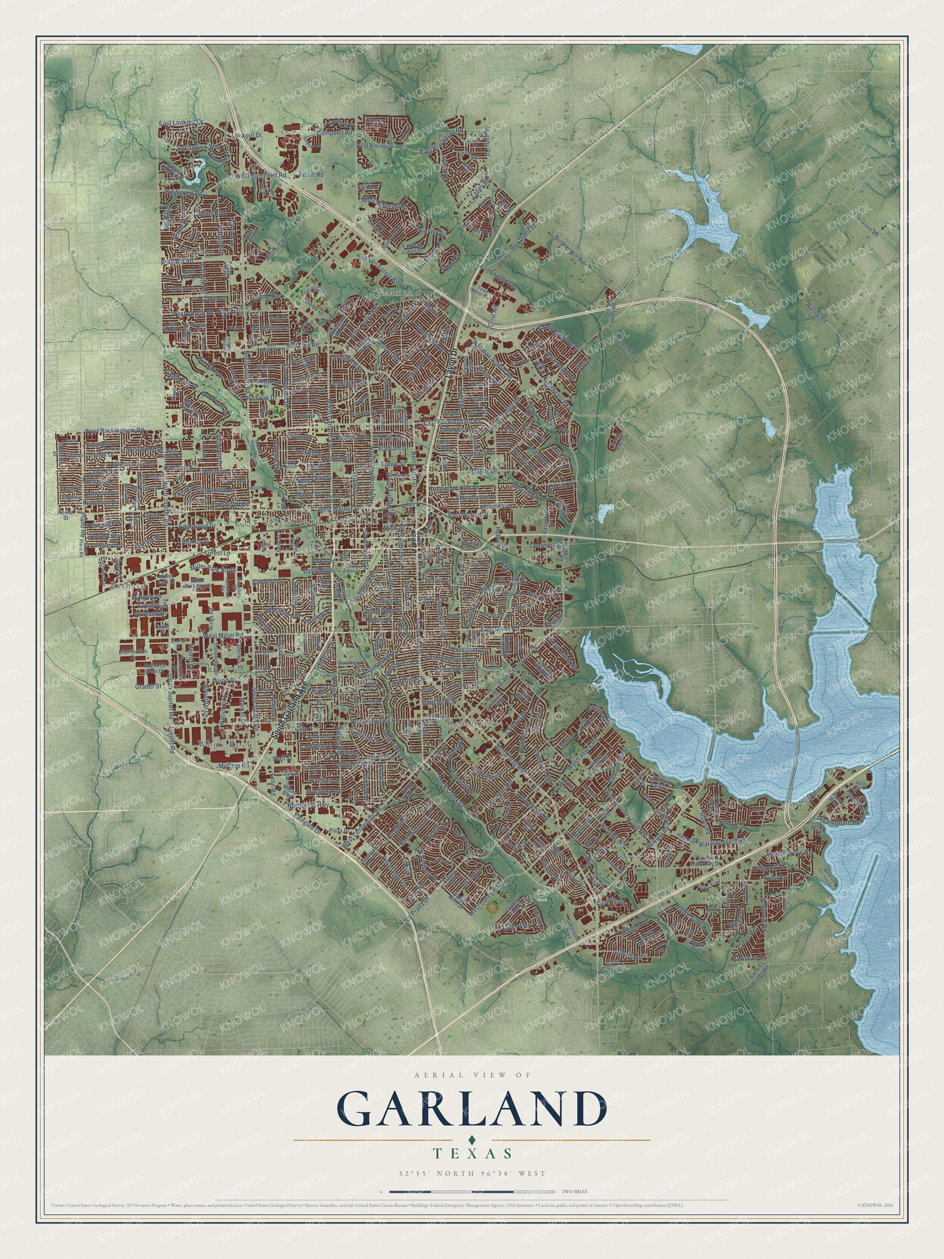
A new map of Garland, Texas, made in 2026 and printed to order on thick archival matte paper.
12" x 18" Archival Matte Print
A Map of Home. A Work of Art.
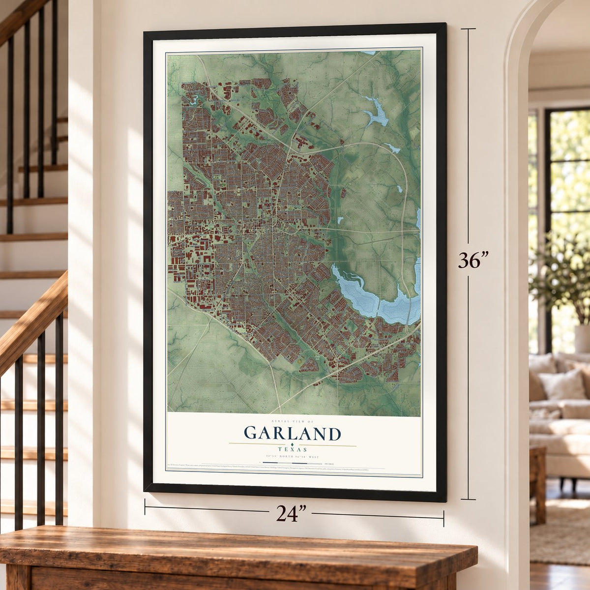
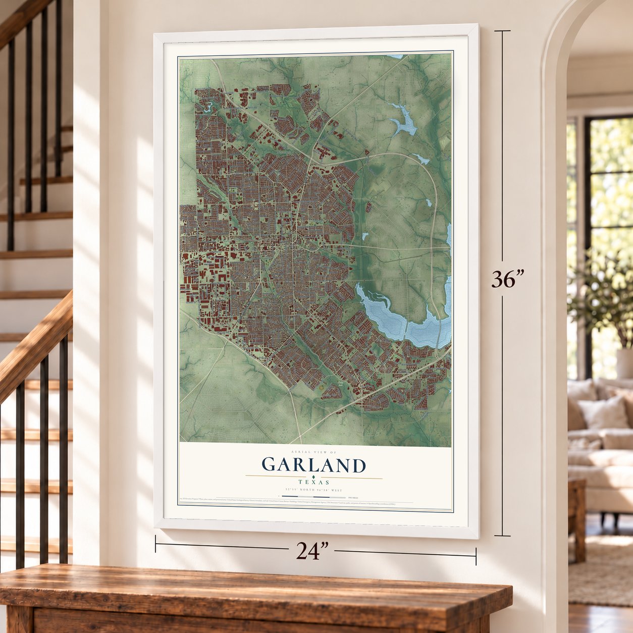
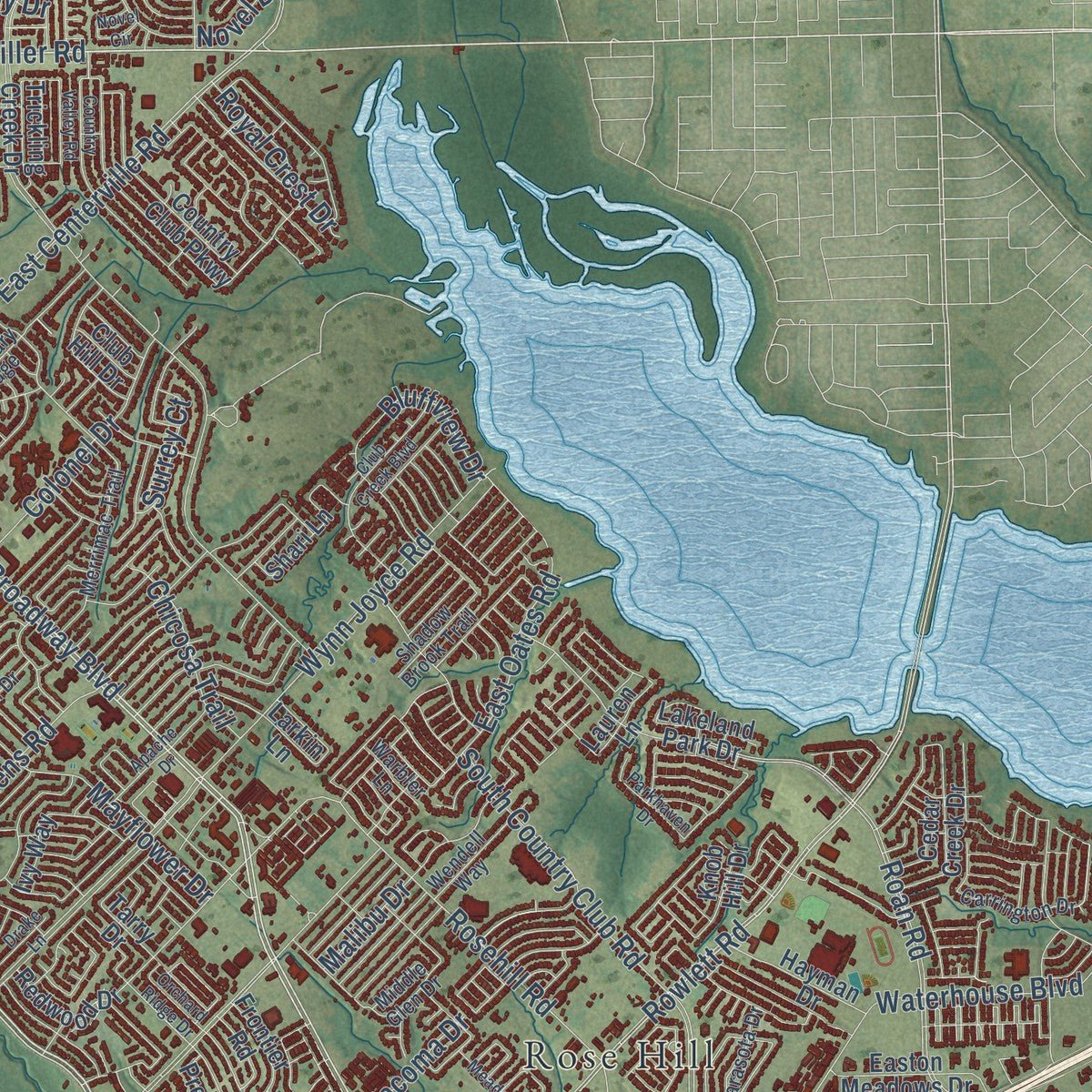
This beautifully detailed map of Garland, Texas was created in 2026 using aerial imagery combined with modern topographical, census, street and landmark data. It's a modern aerial view of Garland in Dallas County, Texas, that combines modern data with a vintage aesthetic. Zoom in on the preview and look for your block.
Three ways to hang it
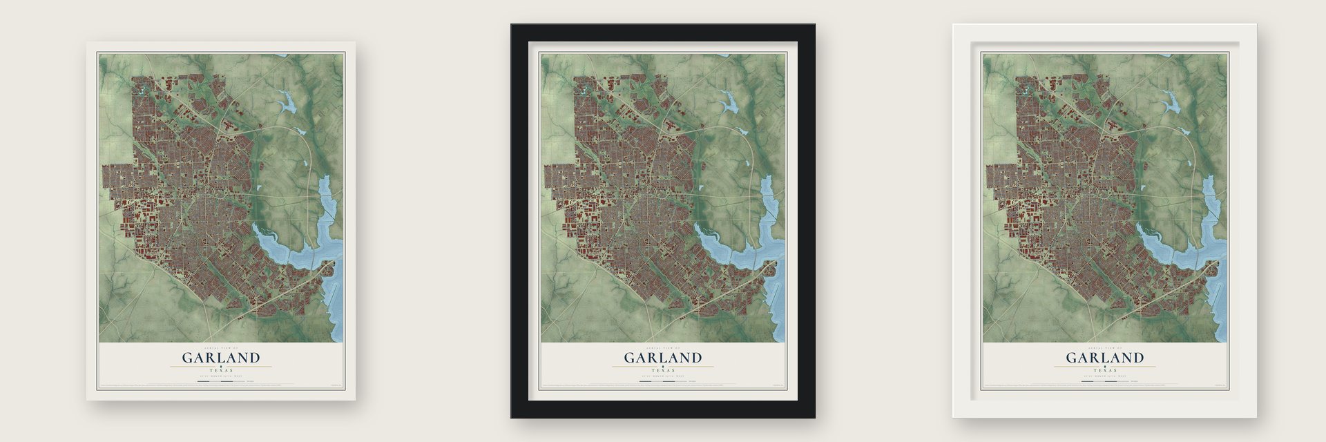
Unframed archival matte, a black wood frame or a white wood frame.
Up close
Real geography. Art worth displaying.
This map was created using accurate cartographic data and authoritative geographic sources, including the U.S. Geological Survey and the Census Bureau. The map brings together terrain, waterways, roads, and building detail. The majority of the streets are labeled, houses are accurately depicted, and the topography is derived from government sources. Combining local data with carefully composed color and shading leads to this beautifully detailed Garland artwork for your wall.
Rather than simply showing street outlines, we’ve included as many of the street names as we could reasonably fit on the map while keeping their names legible. Zoom in on the high resolution preview to see exactly what’s on the map. We truly set out to create a statement piece for anyone who loves Garland. So whether it’s for you, or a gift for someone you love, we hope this map of Garland brings back fond memories.

About Garland, Texas
Garland began in 1887 as a compromise between the rival communities of Duck Creek and Embree. Incorporated in 1891, it developed from a railroad town into a major manufacturing center. The 2020 census recorded 246,018 residents, making Garland the thirteenth-largest city in Texas.
- A Compromise TownCongressman Joseph Abbott established Garland between Duck Creek and Embree, naming it for U.S. Attorney General Augustus H. Garland.
- Fire Reshaped DowntownA fire destroyed twenty-eight of Garland's thirty businesses in 1899, and the commercial district was rebuilt around a town square.
- Locally Owned PowerResidents created Garland Power and Light in 1923, which grew into Texas's fourth-largest municipal utility.
- Cowboy Hat CapitalThe Texas legislature named Garland the Cowboy Hat Capital of Texas in 2013, reflecting the city's long association with hat manufacturing.
- Historic DistrictsSouth 11th Street and the Garland Downtown Historic District were added to the National Register of Historic Places in 2017.
Find your street
Names on the Garland map
Every name below is printed on this map. Look for your street, your school, the park where you played, or the pond down the road.
Places and landmarks9
- City of Garland City Hall
- Cody Park
- Bethard
- Centerville
- Naaman
- Rose Hill
- Shiloh
- White Rock
- Asbury Park
Streets and roads493
- South Garland Avenue
- Lavon Drive
- North Garland Avenue
- Broadway Boulevard
- West Miller Road
- Duck Creek Drive
- Forest Lane
- South First Street
- North First Street
- Pleasant Valley Road
- East Miller Road
- Lookout Drive
- East Buckingham Road
- Bunker Hill Road
- Murphy Road
- East Blackburn Road
- Main Street
- East Lookout Drive
- West Vista Drive
- North Shiloh Road
- West Buckingham Road
- Belt Line Road
- West Kingsley Road
- Arapaho Road
- West Centerville Road
- Springpark Way
- Creek Meadow Lane
- West Campbell Road
- Rowlett Road
- Crist Road
Show all 493 streets
- Edgefield Drive
- Morris Drive
- East Centerville Road
- South Shiloh Road
- North Jupiter Road
- West Walnut Street
- South Jupiter Road
- Northwest Highway
- Northeast Parkway
- North Glenbrook Drive
- Castle Drive
- South Glenbrook Drive
- Roan Road
- Mars Drive
- East Oates Road
- Wynn Joyce Road
- Bobtown Road
- Plano Road
- Rosehill Road
- Saturn Road
- South Country Club Road
- East Brand Road
- La Prada Drive
- Galaxie Road
- South Fifth Street
- Holford Road
- Campbell Road
- Zion Road
- Naaman School Road
- Naaman Forest Boulevard
- Maple Drive
- Dairy Road
- Guthrie Road
- West Oates Road
- Patricia Lane
- Sylvan Drive
- West Apollo Road
- Travis Street
- Lyons Road
- Colonel Drive
- West Muirfield Road
- Apollo Road
- Sam Houston Drive
- Burning Tree Lane
- Marquis Drive
- Hillsdale Lane
- Bardfield Avenue
- High Meadow Drive
- Lawler Road
- Edgewood Drive
- Cumberland Drive
- South Third Street
- Firewheel Parkway
- Bobbie Lane
- Mayfield Avenue
- Miles Road
- Lakewood Drive
- Broadmoor Drive
- Douglas Drive
- Collins Boulevard
- Crockett Street
- Commerce Street
- Dent Street
- Waterhouse Boulevard
- Shorehaven Drive
- Birchwood Drive
- Callejo Road
- Western Drive
- Marion Drive
- East Walnut Street
- West Brand Road
- Wood Drive
- Curtis Drive
- Big Oaks Drive
- Bucknell Drive
- Centennial Drive
- Whiteoak Drive
- Locust Grove Road
- Windsor Drive
- Ben Davis Road
- Princeton Drive
- Mayflower Drive
- Delmar Drive
- East Linda Drive
- Caldwell Drive
- Lamesa Drive
- Bosque Drive
- Jupiter Road
- Nickens Road
- Briarwood Drive
- Pueblo Drive
- Rosewood Hills Drive
- Eastgate Drive
- Miller Park North
- Jester Drive
- Brookview Drive
- McCree Road
- North Fifth Street
- Guildford Street
- East Ridgewood Drive
- Lake Hubbard Parkway
- Kingswood Drive
- Westway Avenue
- Barcelona Drive
- Leon Road
- Bowie Street
- East Celeste Drive
- Worcester Lane
- Armstrong Drive
- Sword Drive
- Oak Point Drive
- Warwick Street
- Winifred Drive
- Beverly Drive
- Novel Drive
- Morrison Drive
- Vera Cruz Drive
- University Drive
- Bluffview Drive
- Kelso Lane
- Anita Drive
- Quail Drive
- Trails Parkway
- Robin Lane
- Chicosa Trail
- Wall Street
- Robin Road
- Chaha Road
- Hilltop Drive
- Talley Road
- Grasmere Street
- Stroud Lane
- Idlewood Drive
- Upland Way
- Larry Drive
- Richoak Drive
- National Drive
- Riviera Drive
- Merritt Drive
- Rustic Glen Drive
- Tynes Drive
- Market Street
- Industrial Lane
- Big Spring Road
- Royal Crest Drive
- South Ninth Street
- Norma Drive
- Gayle Drive
- Stadium Drive
- Melody Lane
- Bandera Lane
- Briarbrook Lane
- Cavalier Drive
- Raney Road
- Camilla Lane
- Ridge Oak Drive
- Pineridge Drive
- Hebron Drive
- Matterhorn Drive
- Longleaf Drive
- Goodwin Drive
- Archery Lane
- Mosswood Drive
- Ontario Drive
- Ashglen Drive
- Keele Drive
- Valencia Drive
- Biscay Drive
- Dividend Drive
- Cardigan Street
- Cardinal Lane
- Grader Street
- Hardy Drive
- Ashville Drive
- Surrey Court
- Ford Street
- Christina Lane
- Crystal Lane
- Tacoma Drive
- Casalita Drive
- Goliad Drive
- Davis Boulevard
- Freeport Drive
- Jennifer Drive
- Holm Drive
- Joyce Drive
- Tulane Street
- Sharon Drive
- Webb Drive
- Howard Lane
- Ferris Road
- Benton Street
- Malibu Drive
- Easy Street
- Lynch Lane
- Tulip Drive
- 17th Street
- Vail Drive
- Sherwin Street
- West Blackburn Road
- Loving Street
- Country View Lane
- Nash Street
- Carroll Drive
- East Muirfield Road
- Diamond Oaks Drive
- Homestead Place
- Shorecrest Drive
- Austin Street
- Miller Park Drive
- Cornell Drive
- Flagstone Drive
- Colgate Lane
- Lariat Lane
- Country Club Parkway
- Cranford Drive
- Richland Drive
- Rivercove Drive
- Dove Meadow Drive
- Pyramid Drive
- Leicester Street
- Alto Drive
- Distribution Drive
- Castleglen Drive
- Lonnecker Drive
- Robin Hill Lane
- Oak Bend Lane
- Milky Way
- Sussex Drive
- Hopkins Street
- Valley Mills Drive
- Firewheel Drive
- Skillman Drive
- Keen Drive
- Cedar Creek Drive
- Greenbelt Parkway
- Lantana Drive
- Blue Ridge Lane
- Rustic Ridge Drive
- Plaza Drive
- Wood Creek Lane
- Frio Lane
- Carney Drive
- Easton Meadows Drive
- Regal Drive
- Ivy Way
- Knob Hill Drive
- Miller Park South
- Limestone Lane
- Shari Lane
- Glen Vista Drive
- Regency Crest Drive
- Hayman Drive
- Woods Lane
- Excalibur Drive
- Bent Creek Drive
- Preston Trail
- Sweetbriar Drive
- Pear Tree Lane
- Misty Way
- Elm Grove Road
- Classic Drive
- Bard Drive
- Redwood Drive
- Rilla Drive
- Basswood Trail
- Woodland Park Drive
- Trellis Drive
- Millay Boulevard
- Shepherd Drive
- Creek Bend Drive
- Marina Drive
- Intervale Drive
- Plantation Road
- Old Miles Road
- Barnes Bridge Road
- Overhill Drive
- McIntosh Drive
- Nova Drive
- Larkin Lane
- Valley Park Drive
- Century Park Drive
- Creststone Drive
- Rock Creek Drive
- Lake Drive
- Kings Road
- Glynn Drive
- Briar Way
- Mills Road
- Frontier Road
- Wyrick Lane
- Executive Drive
- Oaks Trail
- Hillside Lane
- Walnut Street
- Rolando Drive
- Glenville Drive
- Ablon Trail
- Peggy Lane
- Fairway Lakes Drive
- Lamont Drive
- Trickling Creek Drive
- Lakeland Park Drive
- Pamela Place
- Cedar Brook Drive
- Dawn Drive
- Yaupon Drive
- Kerry Lane
- Quincy Drive
- Park Avenue
- Friar Lane
- Lauren Lane
- Post Oak Road
- Baron Drive
- Norfolk Drive
- Gold Street
- Club Hill Drive
- Grand Bay Drive
- Tarry Drive
- Largo Trail
- Oak Street
- Asset Street
- Blair Drive
- Point Boulevard
- Luna Lane
- Tina Drive
- West State Street
- Merrimac Trail
- Lakeside Drive
- South Tenth Street
- Spring Creek Drive
- Charleston Drive
- Northlake Drive
- Bass Pro Drive
- Town Center Boulevard
- Kimberly Drive
- Lochness Lane
- Parkmont Drive
- Randolph Drive
- Brookfield Drive
- Sanders Drive
- Parkcrest Drive
- Spring Lake Drive
- Commonwealth Drive
- Seminary Ridge
- Walnut Parkway
- Matador Drive
- Creekwood Drive
- Rio Rita Drive
- Medina Drive
- Westwood Drive
- Wendell Way
- Cedar Elm Lane
- Carrington Drive
- Nicholson Road
- Jacobson Road
- Towngate Drive
- Shadow Brook Trail
- Angelina Drive
- Beasley Drive
- Deer Meadow Drive
- Range Drive
- Holland Drive
- Fulton Drive
- Duke Street
- Danville Drive
- Sarasota Drive
- Swallow Lane
- Sherwood Drive
- South Plano Road
- Meadow Way
- Middle Glen Drive
- Royal Drive
- Christie Lane
- Lancer Lane
- Garrison Way
- Windy Drive
- Bradfield Drive
- Crawfish Lane
- Eagle Nest Drive
- Ravina Drive
- Santa Anna Drive
- White Drive
- Warbler Lane
- Daventry Drive
- Gary Drive
- Tree Top Lane
- Garden Drive
- Catalpa Street
- Bonnie View Drive
- Garvon Street
- Spring View Drive
- Doss Drive
- Dublin Drive
- Beaver Run
- Flook Street
- Bryan Drive
- Avon Drive
- Katy Street
- Wagon Wheel Road
- Meridian Way
- Old Ben Davis Road
- Wildbriar Drive
- Country Valley Road
- Pebblecreek Drive
- Castle Rock Lane
- Crosslands Drive
- Crest Park Drive
- McCallum Drive
- Club Creek Boulevard
- Stoneridge Drive
- Inwood Boulevard
- Covewood Drive
- Windsurf Bay Park Road
- Meadowside Drive
- San Carlos Drive
- Apache Drive
- Ridgecove Drive
- Means Farm Road
- Lake Valley Drive
- Cornerstone Drive
- Country Oaks Drive
- Cove Drive
- Bellevue Avenue
- Parker Circle
- Vista Oaks Drive
- Overglen Drive
- Green Pond Drive
- Royal Birkdale Drive
- Dell Oak Drive
- Overland Drive
- Green Valley Drive
- Orchard Ridge Drive
- Cherrywood Drive
- Harvest Run
- Ancilla Drive
- Key West Drive
- Herrman Drive
- Parkhaven Drive
- Arbor Trail
- North Bullock Drive
- Centaurus Drive
- Audrey Drive
- Flameleaf Street
- Marigold Drive
- Burdock Drive
- Lynbrook Lane
- Lilac Drive
- Mill Crossing
- Tralee Lane
- Glenwick Lane
- Kynn Drive
- Janwood Lane
- Augusta Drive
- Drake Lane
- Tower Street
- High Bluff Drive
- Mulberry Drive
- High Mesa Drive
- Medical Plaza Drive
- Rolnick Drive
- Novel Circle
- Riley Drive
Names are listed as they appear on the printed map. Zoom into the product photos to find them.
The art of mapping a place
How This Map Was Made
Real places. Remarkable detail. Discover the layers that turn geographic data into a map of home.

The view from above
Aerial imagery reveals the character of the land: woodland, open fields, and the patterns of a place.

The shape of the land
Elevation data brings hills, valleys, and subtle changes in the landscape into view.

The details of home
Roads, waterways, and building footprints come together to make the map feel unmistakably local.

Geography becomes art
Considered color, shading, and typography bring the layers together in a map made for your wall.


Process illustrated with Mendon, Massachusetts. Aerial imagery: USDA NAIP. Terrain: USGS 3D Elevation Program. Map details and finished artwork: KNOWOL.
The Details
About This Print
Choose an archival matte print, or a black or white Ayous wood frame. The archival matte print is unframed.
Select your size and finish above to see the matching product image and price.
Materials & Craftsmanship
A contemporary map with the character of a classic atlas, printed on archival matte paper. Optional frames are made from Ayous wood.
Your printed map does not include the watermark shown in the full-map preview.
Shipping & Delivery
Free shipping within the United States. Every print is made to order in the USA.
Buying a gift? Add a note in your cart and we'll include it. We never put prices in the package.
Prints ship within 2 to 3 business days. Allow 7 to 10 days total from ordering for delivery. Timing may vary during holidays or periods of high order volume.
Read our shipping policy.
Returns and damaged prints
Each print is made to order. Change-of-mind refunds are not available after production.
If your print arrives damaged, misprinted or incorrect, contact support@knowol.com within 30 days of receiving it. Include your order number, photos and a description of the issue.
Read our full refund and replacement policy. For questions about your order, email support@knowol.com.
Find your town
Looking for another city?
Find a map of home in our Texas collection.
Nearby
Maps of towns near Garland
Know someone from one of these towns? Their map makes a great gift.
 Rowlett
, Texas
From $39.99See the map
 Sachse
, Texas
From $39.99See the map
 Richardson
, Texas
From $39.99See the map
More maps nearby: Murphy, Sunnyvale, Wylie, Heath and Parker.