
Search for another town

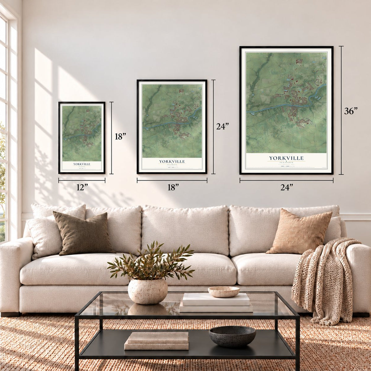
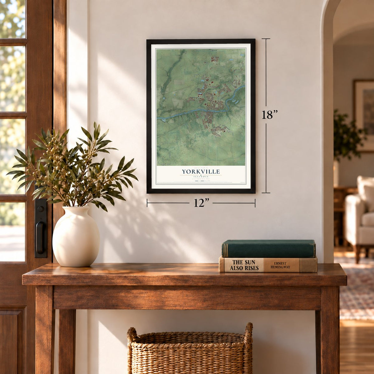
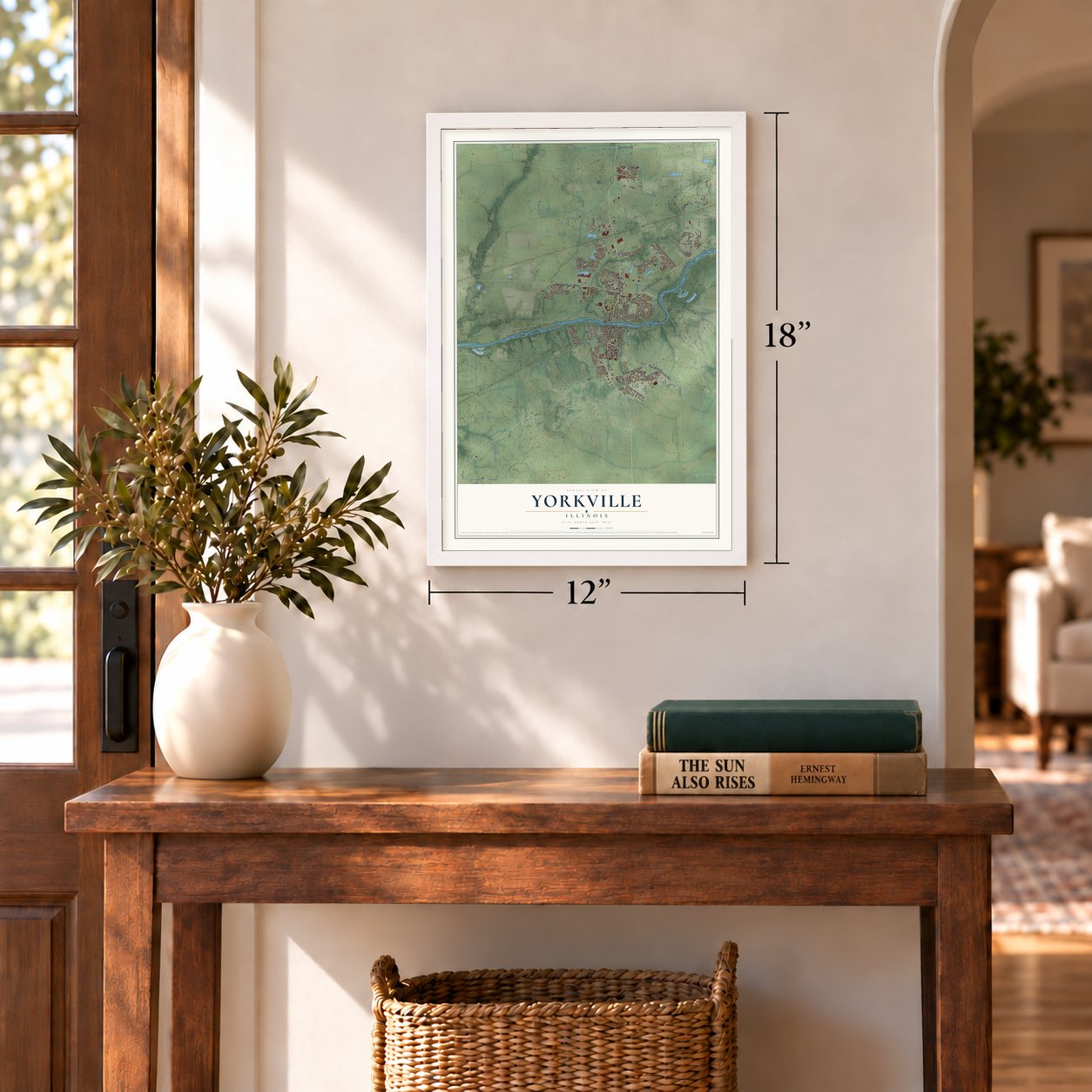
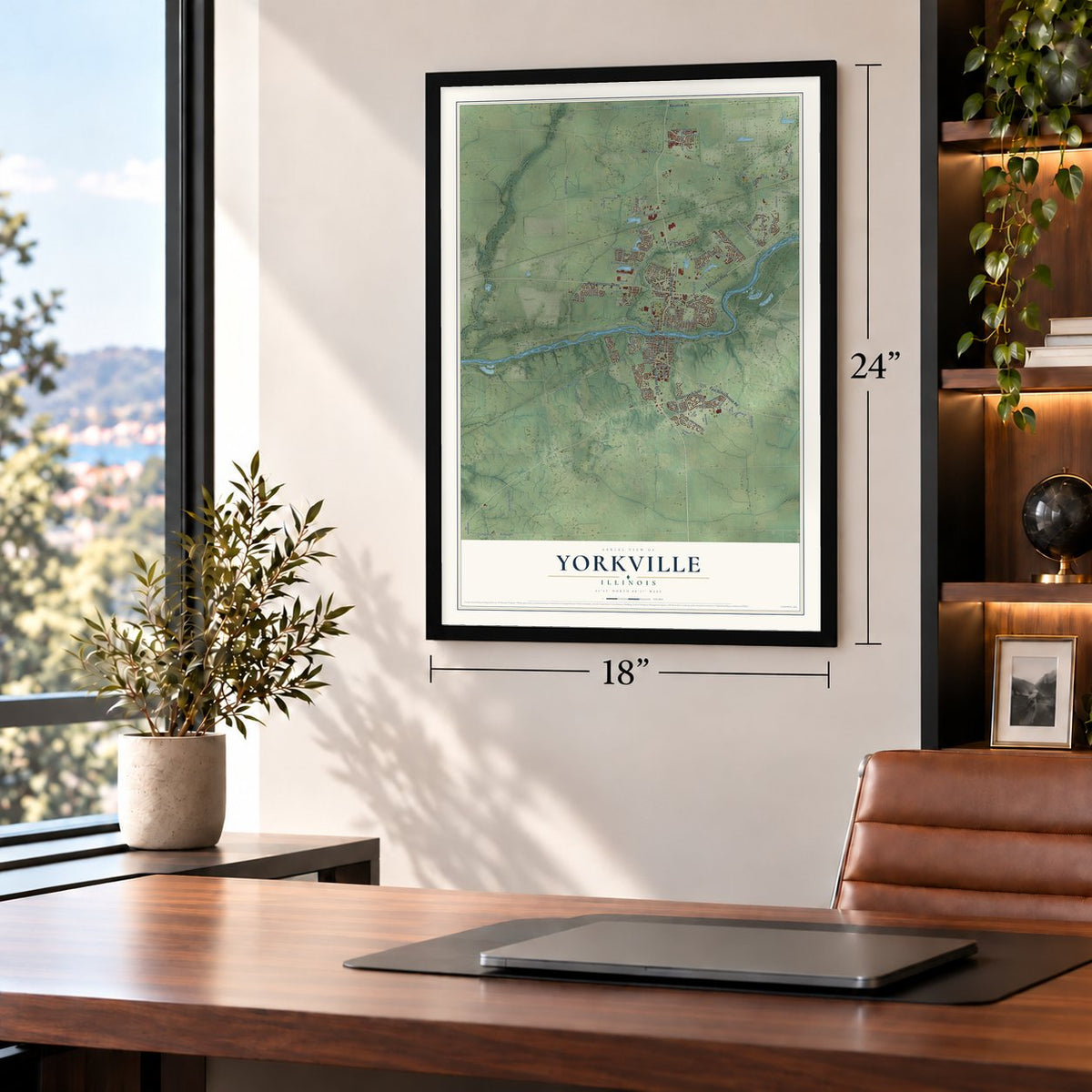

Free U.S. delivery 7 to 10 days after you order
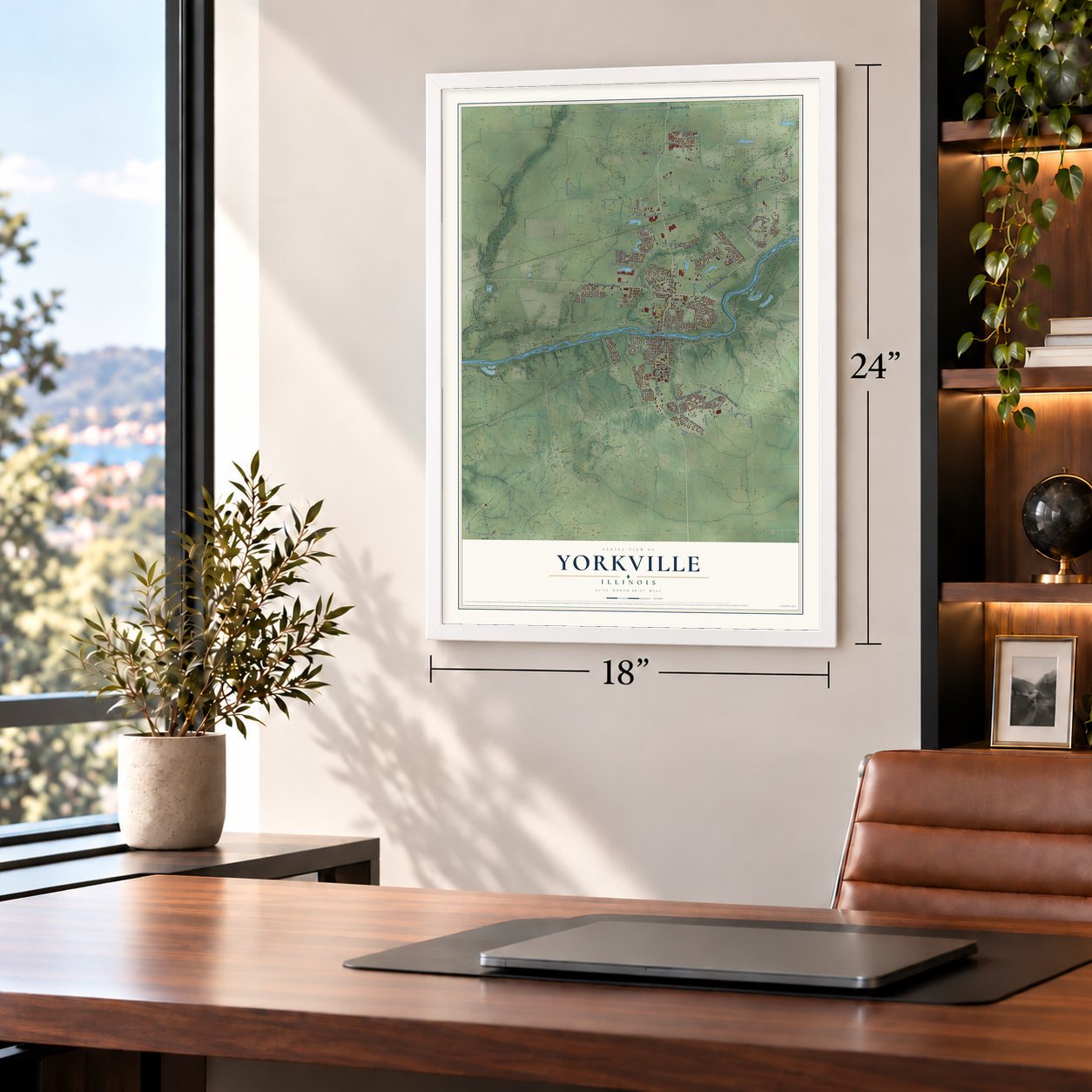
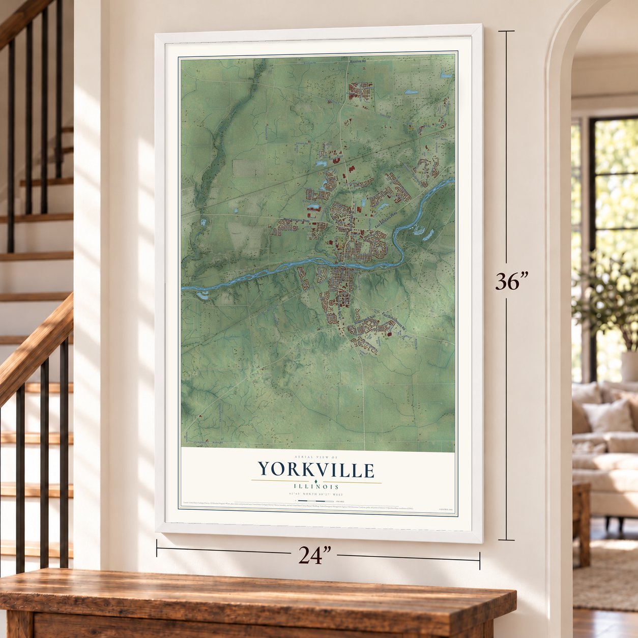
Yorkville, Illinois Map Art
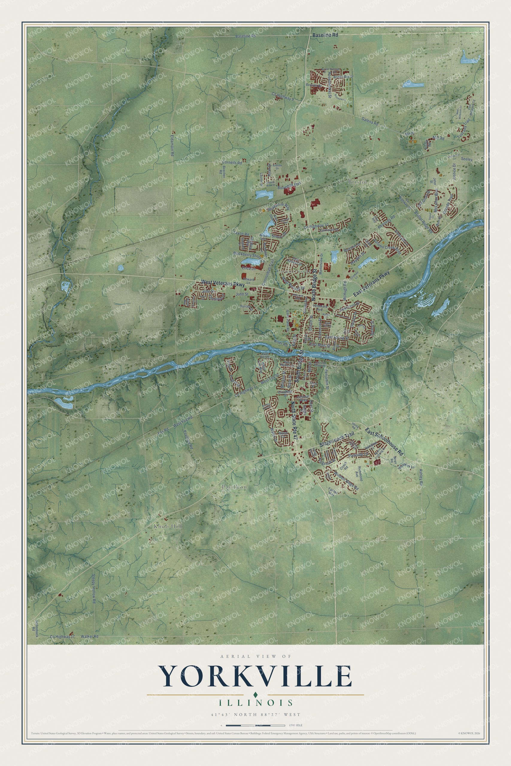
A new map of Yorkville, Illinois, made in 2026 and printed to order on thick archival matte paper.
12" x 18" Archival Matte Print
A Map of Home. A Work of Art.
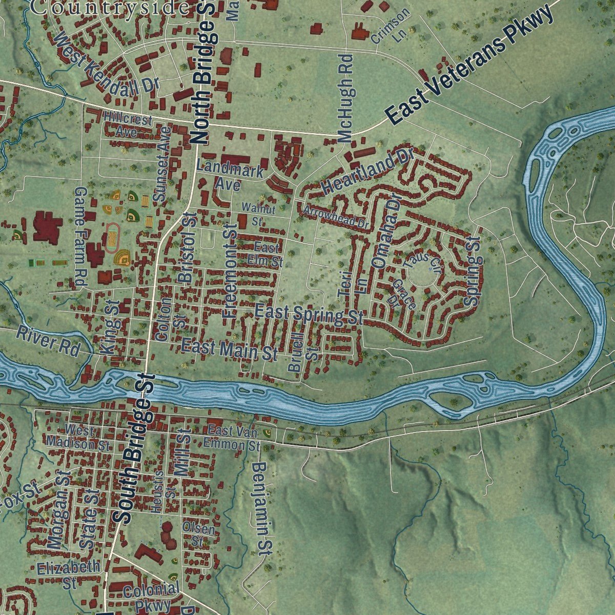
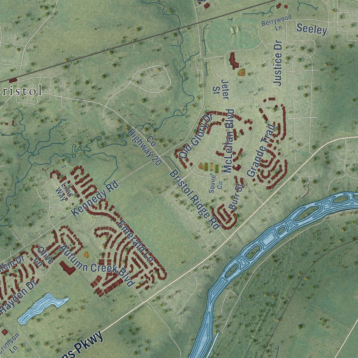
Explore Yorkville, Illinois from a whole new perspective. Created using aerial imagery and detailed geographic data, this map captures Yorkville building by building, with labeled streets, familiar landmarks, and shaded topographical relief that highlights the natural contours of the landscape.
Combining modern data with the timeless character of a vintage atlas, this map is just as interesting up close as it is beautiful on the wall. Whether you grew up in Yorkville, spent memorable years there, or call it home today, this unique map is a great way to celebrate a place that means something to you. Zoom in on the preview to look for your street, and then order a print to put your memories on the wall.
Three ways to hang it
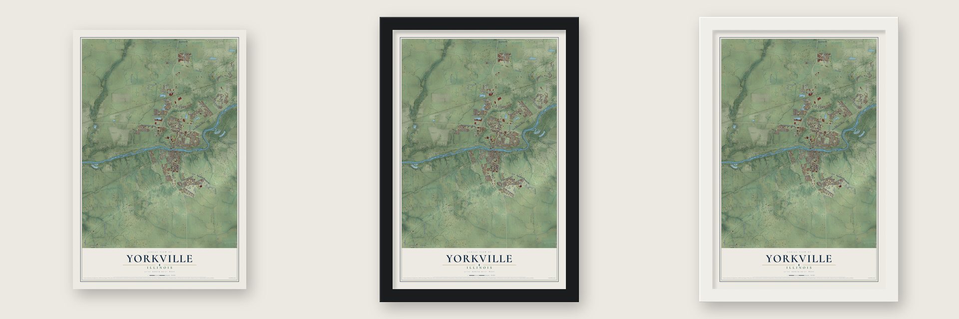
Unframed archival matte, a black wood frame or a white wood frame.
Up close
Geography Worth Displaying
This map was created using accurate cartographic data and authoritative geographic sources, including the U.S. Geological Survey and the Census Bureau. The map brings together terrain, waterways, roads, and building detail. The majority of the streets are labeled, houses are accurately depicted, and the topography is derived from government sources. Combining local data with carefully composed color and shading leads to this beautifully detailed Yorkville artwork for your wall.
Rather than simply showing street outlines, we’ve included as many of the street names as we could reasonably fit on the map while keeping their names legible. Zoom in on the high resolution preview to see exactly what’s on the map. We truly set out to create a statement piece for anyone who loves Yorkville. So whether it’s for you, or a gift for someone you love, we hope this map of Yorkville brings back fond memories.
Read the story behind this map of Yorkville, Illinois from 2026.
About Yorkville, Illinois
Yorkville is a city of 21,533 people and the seat of Kendall County, on the Fox River. Earl Adams was its first settler, building a cabin on Courthouse Hill south of the river in 1833. A year later Lyman and Burr Bristol made their home on the north bank, in what grew into the separate town of Bristol.
When Kendall County was formed in 1841, Yorkville was picked as its seat. Oswego then held the county government for 13 years, until voters moved it back to Yorkville in 1859 because the town sat nearer the middle of the county. Yorkville and Bristol kept their own governments for more than 100 years, then merged in 1957 as the United City of Yorkville, with Ellsworth Windett as its first mayor.
- A courthouse from 1864After the county seat came back to Yorkville, a new courthouse was finished in 1864. It served the county until 1997, when a new courthouse opened on the city's north side, and the old building now houses the Kendall County Forest Preserve and other groups. The Kendall County Courthouse joined the National Register in 1998.
- Pickles, ice cream and buttonsThe railroad brought new business in 1870. Squire Dingee opened a pickle factory beside the tracks, the Rehbehn Brothers made buttons there, and an ice cream company carried the town's name. A few of their buildings still stand. J. P. Black built the Yorkville paper mills, which made fine white print paper for several years.
- Superman's boyhood homeIn August 2011 a house was built in Yorkville just for filming Man of Steel, where it stood in for the farm where the Kents raised their son. Crews rebuilt it in the fall of 2014 so it could appear again in Batman v Superman: Dawn of Justice.
- Whitewater on the FoxThe Marge Cline Whitewater Park opened on the Fox River in 2010, the only park of its kind in Illinois, for kayaking and tubing. It honors Marge Cline, who led American Whitewater from 1982 to 1988.
Find your street
Names on the Yorkville map
Every name below is printed on this map. Look for your street, your school, the park where you played, or the pond down the road.
Places and landmarks4
- Bristol
- Countryside
- Knob Hill
- Pavillion
Streets and roads141
- North Bridge Street
- North State Route 47
- South Bridge Street
- East Veterans Parkway
- West Veterans Parkway
- East Schoolhouse Road
- Stagecoach Trail
- Baseline Road
- Old Glory Drive
- County Highway 10
- County Highway 9
- Spring Street
- East Spring Street
- Walsh Drive
- Cannonball Trail
- Eldamain Road
- Galena Road
- Kennedy Road
- County Highway 1
- Corneils Road
- Faxon Road
- Grande Trail
- John Street
- McHugh Road
- Fox Road
- West Fox Road
- County Highway 17
- Walker Road
- Sleepy Hollow Road
- Rosenwinkel Street
Show all 141 streets
- West Fox Street
- Bristol Ridge Road
- West Kendall Drive
- Windett Ridge Road
- Emerald Lane
- Mill Road
- Autumn Creek Boulevard
- Parkside Lane
- East Main Street
- Benjamin Street
- Blackberry Shore Lane
- Boombah Boulevard
- Tuscany Trail
- McLellan Boulevard
- Pavillion Road
- Heartland Drive
- Mill Street
- Poplar Drive
- Hayden Drive
- Seeley
- State Street
- Morgan Street
- Erica Lane
- Freemont Street
- Kingsmill Street
- McMurtrie Way
- Ashley Road
- Sumac Drive
- Omaha Drive
- Justice Drive
- Ryan Drive
- Chestnut Lane
- Ninth
- River Road
- Johh Street
- Deer Street
- Bristol Street
- King Street
- East Kendall Drive
- Sunset Avenue
- Beecher Road
- County Highway 20
- Fairfax Way
- White Oak Way
- Bristol Bay Drive
- Bertram Drive
- Alan Dale Lane
- Edward Lane
- Hampton Lane
- Game Farm Road
- Fairhaven Drive
- Walsh Circle
- Marketview Drive
- Alice Avenue
- Landmark Avenue
- Wren Road
- Iroquois Lane
- Northland Lane
- High Ridge Road
- Hollenback Road
- Whitekirk Lane
- Bluestem Drive
- Coach Road
- Colonial Parkway
- Richmond Avenue
- Bailey Road
- Teri Lane
- Burr Street
- Bruell Street
- Lauren Drive
- Elizabeth Street
- Purcell Street
- Colton Street
- Badger Street
- Jeter Street
- Olive Lane
- Country Hills Drive
- Crimson Lane
- Prairie Crossing Drive
- East Millbrook Circle
- East Van Emmon Street
- Windham Circle
- Sutton Street
- Heustis Street
- Taus Circle
- West Madison Street
- Willow Way
- Grace Drive
- Hillcrest Avenue
- Identa Road
- River Birch Drive
- Village View Drive
- East Elm Street
- Lilac Way
- Andrew Drive
- Olsen Street
- Arrowhead Drive
- West Millbrook Circle
- Berrywood Lane
- Raintree Road
- Squire Circle
- Aspen Lane
- Twinleaf Trail
- Evergreen Lane
- Walnut Street
- Shadow Wood Drive
- Plymouth Avenue
- Biscayne Lane
- Banbury Avenue
- Barrett Drive
- Burning Bush Drive
Names are listed as they appear on the printed map. Zoom into the product photos to find them.
The art of mapping a place
How This Map Was Made
Real places. Remarkable detail. Discover the layers that turn geographic data into a map of home.

The view from above
Aerial imagery reveals the character of the land: woodland, open fields, and the patterns of a place.

The shape of the land
Elevation data brings hills, valleys, and subtle changes in the landscape into view.

The details of home
Roads, waterways, and building footprints come together to make the map feel unmistakably local.

Geography becomes art
Considered color, shading, and typography bring the layers together in a map made for your wall.


Process illustrated with Mendon, Massachusetts. Aerial imagery: USDA NAIP. Terrain: USGS 3D Elevation Program. Map details and finished artwork: KNOWOL.
The Details
About This Print
Choose an archival matte print, or a black or white Ayous wood frame. The archival matte print is unframed.
Select your size and finish above to see the matching product image and price.
Materials & Craftsmanship
A contemporary map with the character of a classic atlas, printed on archival matte paper. Optional frames are made from Ayous wood.
Your printed map does not include the watermark shown in the full-map preview.
Shipping & Delivery
Free shipping within the United States. Every print is made to order in the USA.
Buying a gift? Add a note in your cart and we'll include it. We never put prices in the package.
Prints ship within 2 to 3 business days. Allow 7 to 10 days total from ordering for delivery. Timing may vary during holidays or periods of high order volume.
Read our shipping policy.
Returns and damaged prints
Each print is made to order. Change-of-mind refunds are not available after production.
If your print arrives damaged, misprinted or incorrect, contact support@knowol.com within 30 days of receiving it. Include your order number, photos and a description of the issue.
Read our full refund and replacement policy. For questions about your order, email support@knowol.com.
Find your town
Looking for another city?
Find a map of home in our Illinois collection, or any town in the country.
Nearby
Maps of towns near Yorkville
Know someone from one of these towns? Their map makes a great gift.
 Oswego
, Illinois
From $39.99See the map
 Montgomery
, Illinois
From $39.99See the map
 Plano
Plano, Illinois
From $39.99See the map
More maps nearby: Boulder Hill, Millbrook, Sugar Grove, Prestbury and Big Rock.