
Search for another town



Free U.S. delivery 7 to 10 days after you order
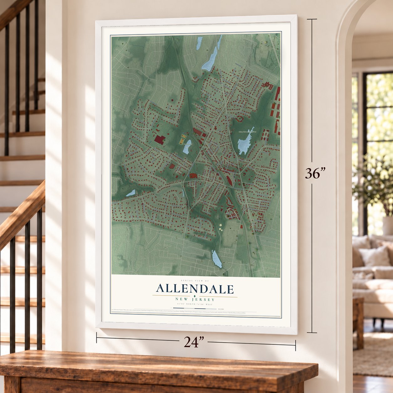
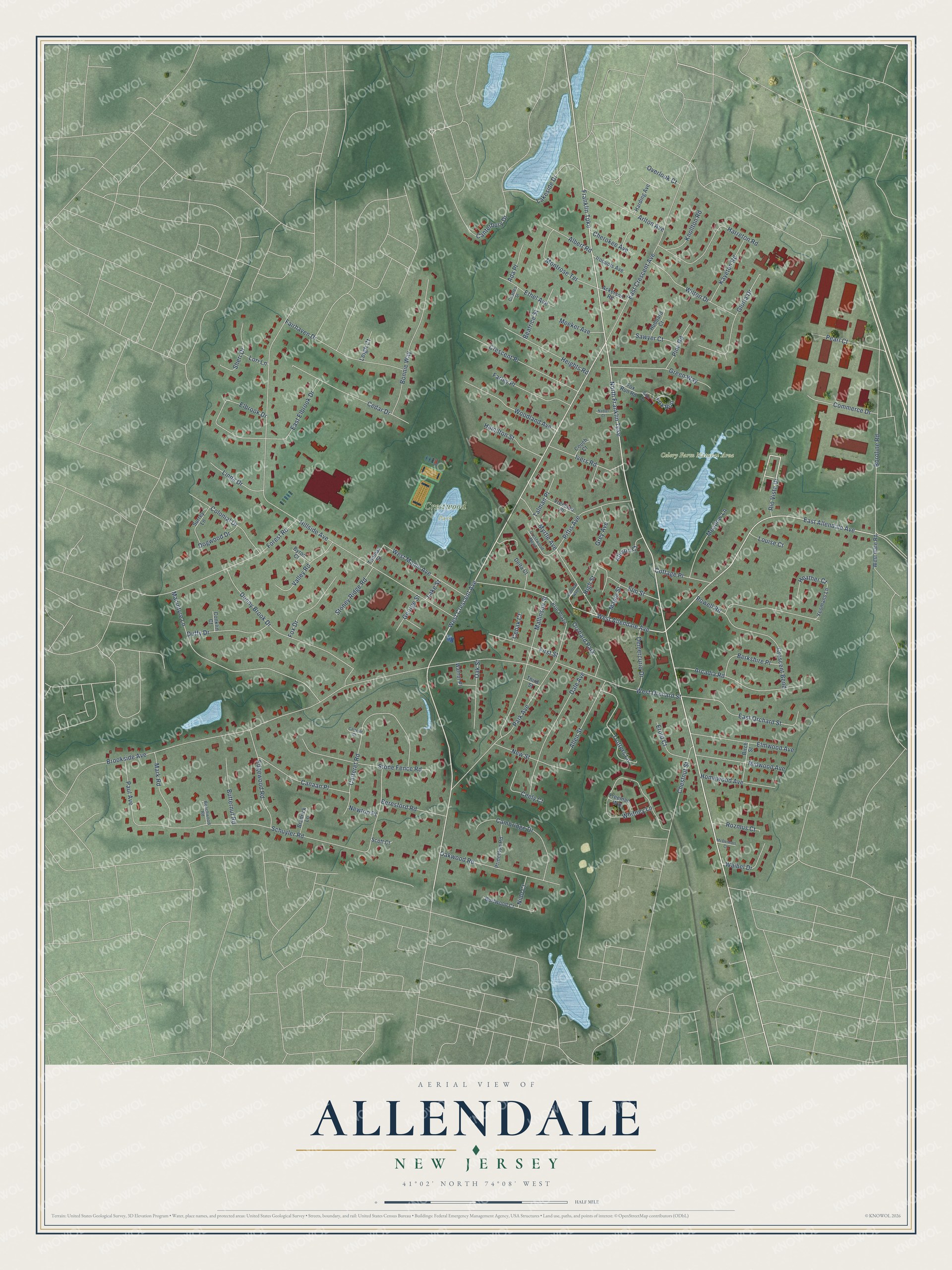
Allendale, New Jersey Map Art
Building by building, with labeled streets and shaded relief.
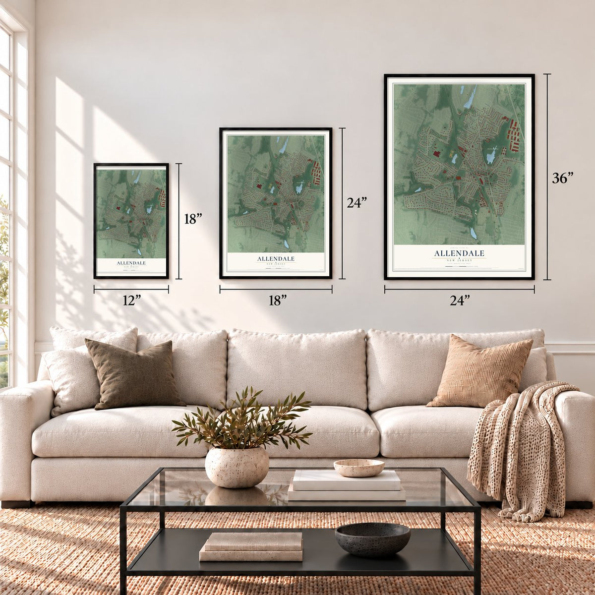
12" x 18" Archival Matte Print
A Map of Home. A Work of Art.
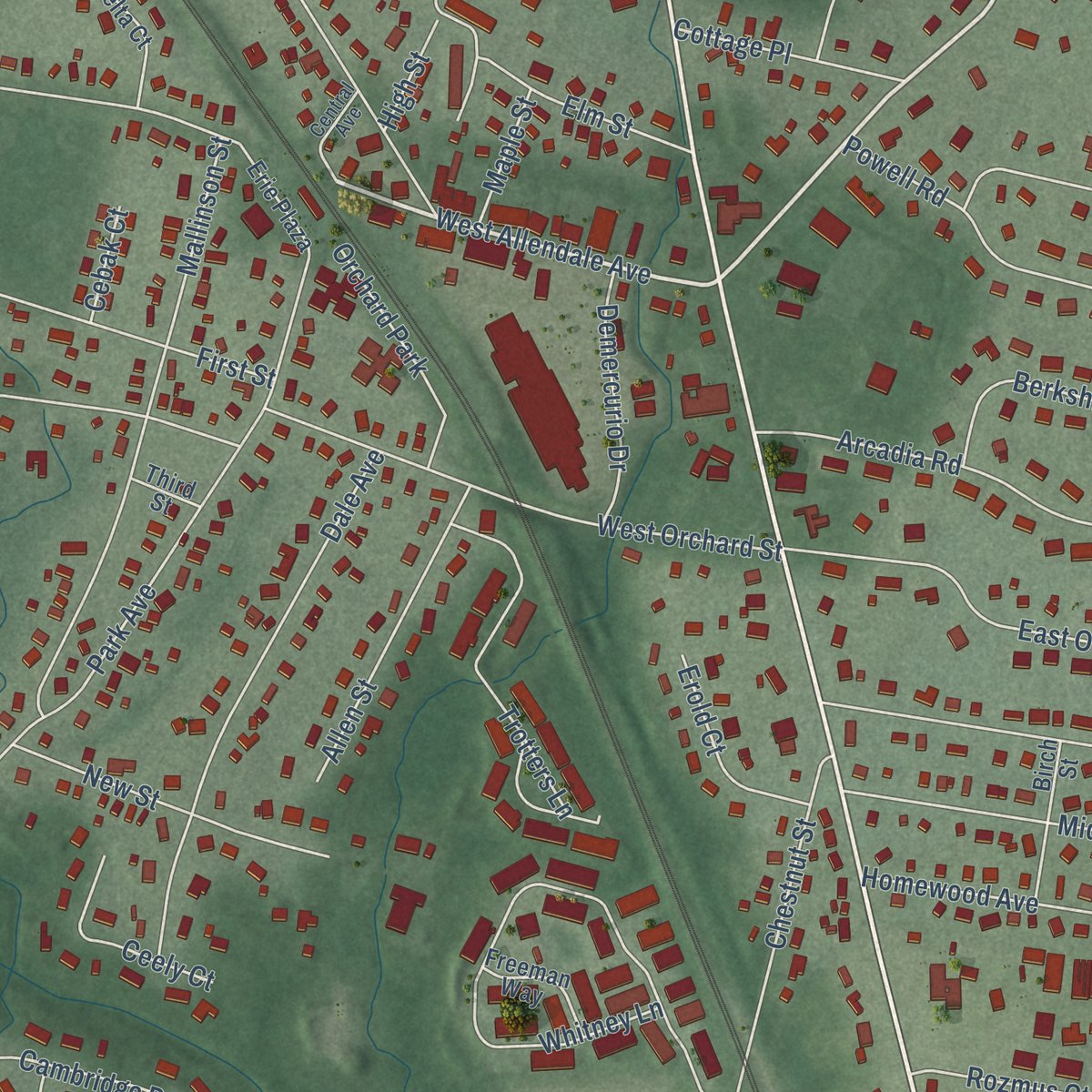
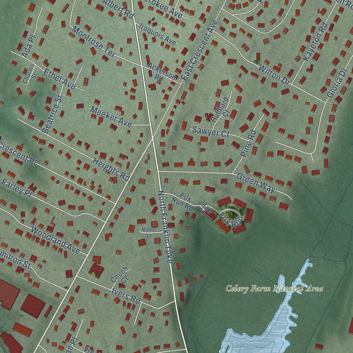
Explore Allendale, New Jersey from a whole new perspective. Created using aerial imagery and detailed geographic data, this map captures Allendale building by building, with labeled streets, familiar landmarks, and shaded topographical relief that highlights the natural contours of the landscape.
Combining modern data with the timeless character of a vintage atlas, this map is just as interesting up close as it is beautiful on the wall. Whether you grew up in Allendale, spent memorable years there, or call it home today, this unique map is a great way to celebrate a place that means something to you. Zoom in on the preview to look for your street, and then order a print to put your memories on the wall.
Three ways to hang it
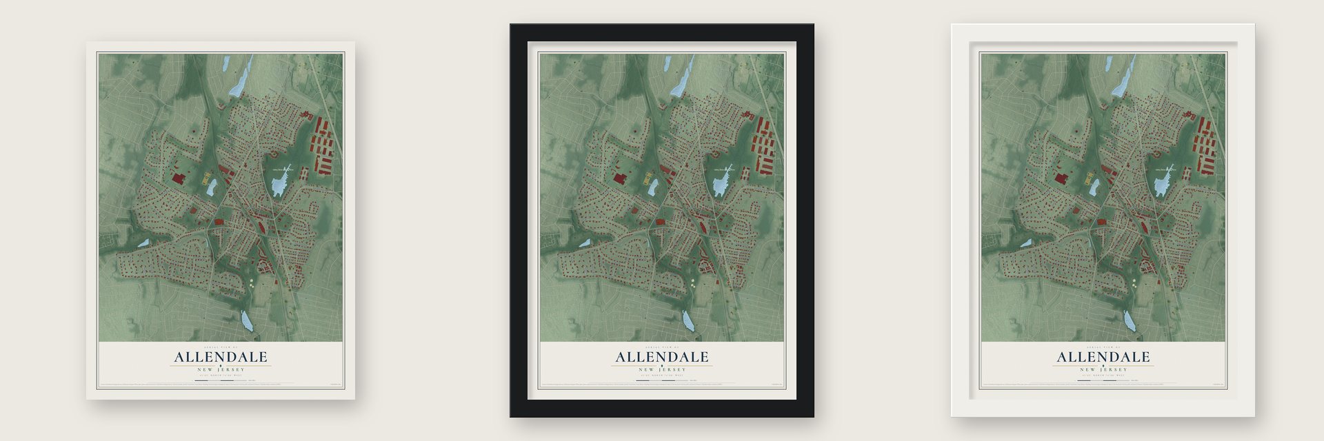
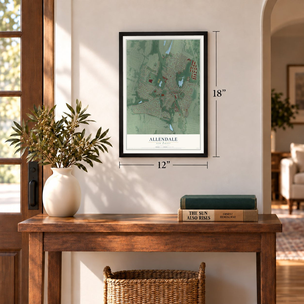
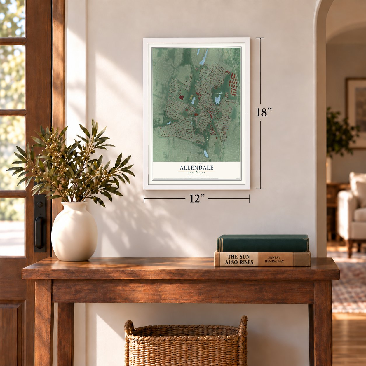
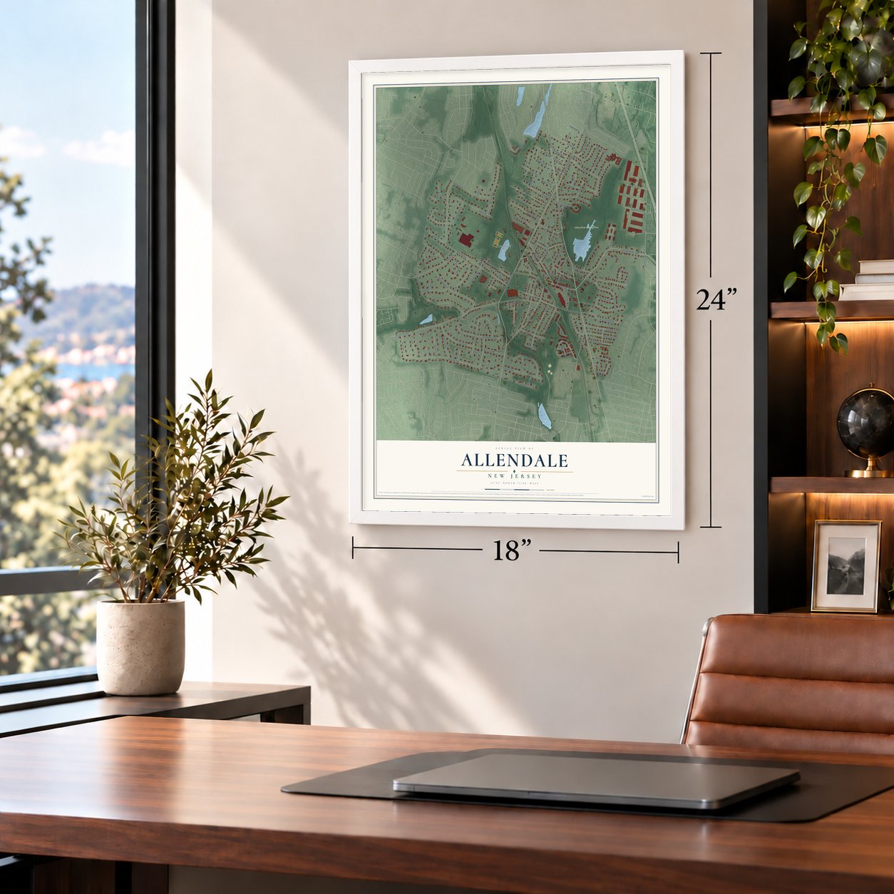
Unframed archival matte, a black wood frame or a white wood frame.
Up close
Geography Worth Displaying
This map was created using accurate cartographic data and authoritative geographic sources, including the U.S. Geological Survey (USGS) and FEMA. The map brings together terrain, waterways, roads, and building detail. The majority of the streets are labeled, houses are accurately depicted, and the topography is derived from government sources. Combining local data with carefully composed color and shading leads to this beautifully detailed Allendale artwork for your wall.
Rather than simply showing street outlines, we’ve included as many of the street names as we could reasonably fit on the map while keeping their names legible. Zoom in on the high resolution preview to see exactly what’s on the map. We truly set out to create a statement piece for anyone who loves Allendale. So whether it’s for you, or a gift for someone you love, we hope this map of Allendale brings back fond memories.
Explore the full map of Allendale, New Jersey and read about the local places it shows.
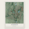
Find your street
Names on the Allendale map
Every name below is printed on this map. Look for your street, your school, the park where you played, or the pond down the road.
Places and landmarks3
- Celery Farm Natural Area
- Crestwood Park
- Orchard Park
Streets and roads140
- West Crescent Avenue
- Franklin Turnpike
- East Allendale Avenue
- West Allendale Avenue
- Rio Vista Drive
- North Franklin Turnpike
- Brookside Avenue
- Hillside Avenue
- Schuyler Road
- Macintyre Lane
- Park Avenue
- Boroline Road
- Donny Brook Drive
- Carteret Road
- East Crescent Avenue
- Whitney Lane
- Forest Road
- Mallinson Street
- Myrtle Avenue
- Bonnie Way
- Paul Avenue
- Stone Fence Road
- Powell Road
- Dale Avenue
- East Orchard Street
- Arcadia Road
- Cedar Drive
- West Orchard Street
- Fairhaven Drive
- Crescent Place
Show all 140 streets
- Harreton Road
- Gloria Drive
- Oakwood Road
- Elbrook Drive
- Chestnut Street
- Cambridge Drive
- Crescent Bend
- Woodland Avenue
- Elmwood Avenue
- Green Way
- Wilton Drive
- Edgewood Road
- Canaan Place
- West Maple Avenue
- Pittis Avenue
- Heights Road
- Elm Street
- Montrose Terrace
- Colonial Drive
- Midwood Avenue
- Trotters Lane
- East Elbrook Drive
- Farley Place
- Duffy Drive
- New Street
- Valley Road
- Allen Street
- Ivers Road
- Fox Drive
- Meadow Lane
- Mark Road
- Homewood Avenue
- Commerce Drive
- Kayeton Road
- First Street
- Berkshire Place
- Oak Street
- Pearl Court
- Canterbury Drive
- Beresford Road
- Hamilton Street
- Butternut Road
- Sheri Drive
- Demercurio Drive
- Ethel Avenue
- Stoney Ridge Road
- Linda Drive
- Waibel Drive
- Cottage Place
- Knollton Road
- Albert Road
- Ceely Court
- Erold Court
- Pine Road
- Lakeside Drive
- Nidd Court
- Rozmus Court
- Meeker Avenue
- Arlton Avenue
- Cherokee Avenue
- Heather Court
- Fox Run
- Sawyer Court
- Dogwood Drive
- Talman Place
- Grey Avenue
- Beatrice Street
- George Street
- Ada Place
- Allison Court
- Overlook Court
- Louise Court
- Maple Street
- Newton Place
- Leigh Court
- High Street
- Lori Lane
- Cebak Court
- Lake Street
- Fox Run Road
- Harding Avenue
- Princeton Road
- Surrey Lane
- Yeomans Lane
- Birch Street
- Walnut Place
- Burtwood Court
- Iroquois Avenue
- Delta Court
- Hubbard Court
- Vreeland Place
- West Gate Road
- Freeman Way
- Ackerson Road
- Erie Plaza
- Bradrick Lane
- Thomas Street
- Scott Court
- Byron Court
- Couch Court
- Conklin Court
- Third Street
- Crestwood Mews
- Central Avenue
- Beechwood Road
- Charles Street
- Nadler Court
- McDermott Court
- Carteret Court
- Bajor Lane
Names are listed as they appear on the printed map. Zoom into the product photos to find them.
About Allendale, New Jersey
Allendale is a borough of 6,848 people in northern Bergen County. In 1844 Joseph Warner Allen surveyed a route for the new Paterson and Ramapo Railroad through this valley near Hohokus, and the first trains ran in October 1848. That same month Joseph Mallinson, a carriage painter who held much of the local land, gave ground for a station, and the depot took the surveyor's name.
A village grew up around the depot. Local farms raised strawberries, and the trains carried millions of baskets of them to Newark, Paterson and New York City. On November 8, 1894, Allendale became a borough, formed out of land taken from Franklin, Hohokus and Orvil townships in the "Boroughitis" craze, which created 26 boroughs in Bergen County that year.
- Five decades at the stationSmith Roswell was Allendale's first stationmaster and held the post for more than fifty years. He kept the post office and started the first grocery store in the area too, which made the depot the heart of the young community.
- A depot that movedErie Railroad officials, including Robert H. Berdell, the line's president in the 1860s, summered in Allendale, and with so many railroad men nearby the station became an express stop. A board and batten depot went up in 1870. After residents complained about its condition, it was shifted across the tracks in 1902, and in 1939, when the grade crossings closed, it gained a pedestrian underpass. NJ Transit trains between Hoboken and Suffern still stop there.
- A Christmas tree since 1916The Allendale Christmas Tree Association was founded in 1916 and began raising a tree in the square beside the railroad station, at the corner of Allendale, Park and Myrtle avenues.
- The celery farm of 1888Henry J. Appert, an immigrant from Switzerland, drained a bog in 1888 to raise onions and celery. Locals called his Allendale Produce Gardens the "celery farm," and its crops went to wholesale markets and to the Campbell Soup Company.
- Babe Ruth's getawayBabe Ruth came often to Allendale on vacation and stayed at the Allendale Hotel. The building is still in use today, now as a rooming house.
Keep exploring New Jersey
Allendale is one of 990 New Jersey towns we've mapped. Every dot on the map is a print of its own.
The search covers every state, New Jersey first.
Near Allendale
Order 2 or more town maps and save 10%. Shown in the size and finish you picked above, so they hang as a set.
- Waldwick 12" x 18" / Archival Matte Print $39.99
- Ramsey 12" x 18" / Archival Matte Print $39.99
- Saddle River 12" x 18" / Archival Matte Print $39.99
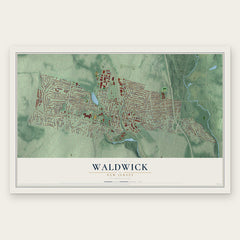
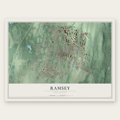

More maps nearby: Midland Park, Upper Saddle River, Wyckoff, Ho-Ho-Kus and Ridgewood.
The art of mapping a place
How This Map Was Made
Real places. Remarkable detail. Discover the layers that turn geographic data into a map of home.

The view from above
Aerial imagery reveals the character of the land: woodland, open fields, and the patterns of a place.

The shape of the land
Elevation data brings hills, valleys, and subtle changes in the landscape into view.

The details of home
Roads, waterways, and building footprints come together to make the map feel unmistakably local.

Geography becomes art
Considered color, shading, and typography bring the layers together in a map made for your wall.


Process illustrated with Mendon, Massachusetts. Aerial imagery: USDA NAIP. Terrain: USGS 3D Elevation Program. Map details and finished artwork: KNOWOL.
The Details
About This Print
Choose an archival matte print, or a black or white Ayous wood frame. The archival matte print is unframed.
Select your size and finish above to see the matching product image and price.
Materials & Craftsmanship
A contemporary map with the character of a classic atlas, printed on archival matte paper. Optional frames are made from Ayous wood.
Your printed map does not include the watermark shown in the full-map preview.
Shipping & Delivery
Free shipping within the United States. Every print is made to order in the USA.
Buying a gift? Add a note in your cart and we'll include it. We never put prices in the package.
Prints ship within 2 to 3 business days. Allow 7 to 10 days total from ordering for delivery. Timing may vary during holidays or periods of high order volume.
Read our shipping policy.
Returns and damaged prints
Each print is made to order. Change-of-mind refunds are not available after production.
If your print arrives damaged, misprinted or incorrect, contact support@knowol.com within 30 days of receiving it. Include your order number, photos and a description of the issue.
Read our full refund and replacement policy. For questions about your order, email support@knowol.com.