
Search for another town
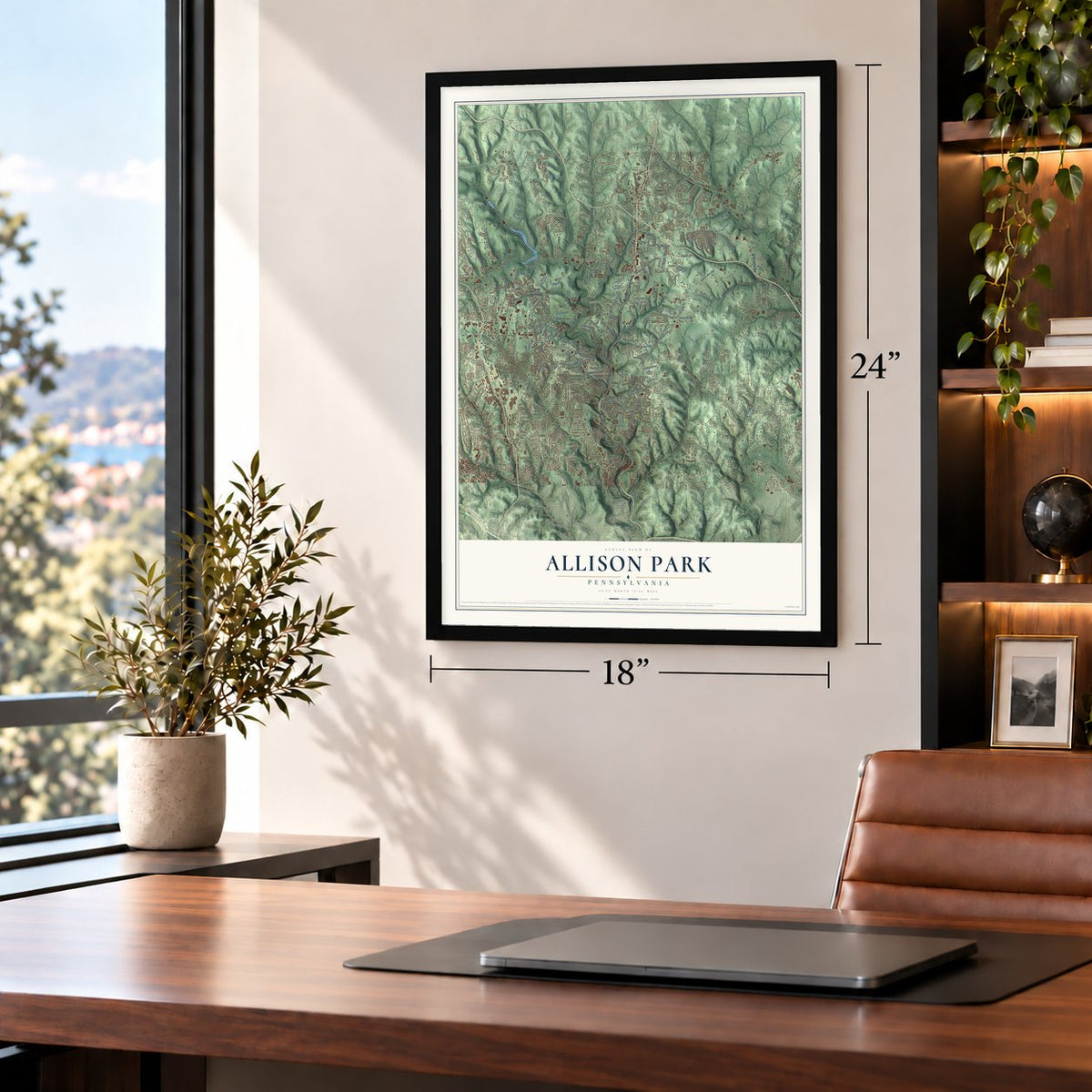
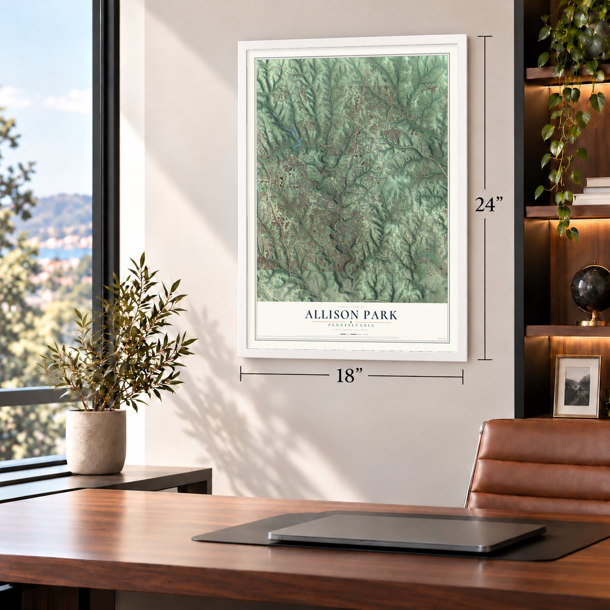
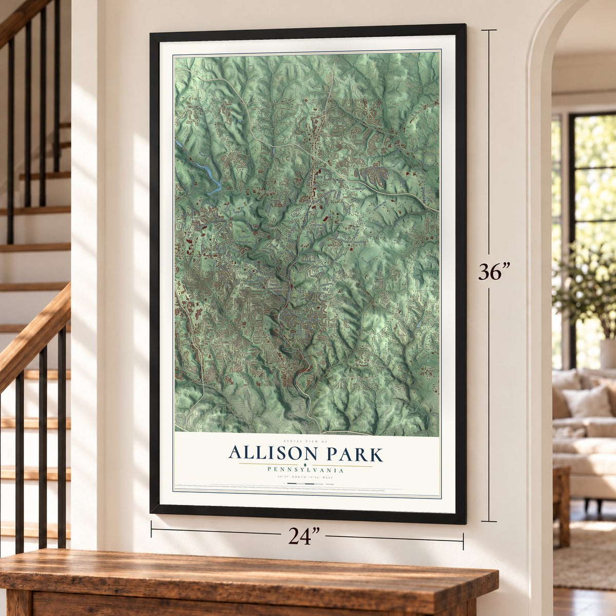
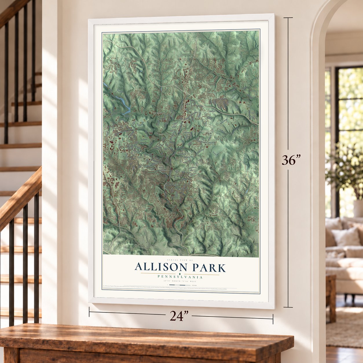
Free U.S. delivery 7 to 10 days after you order
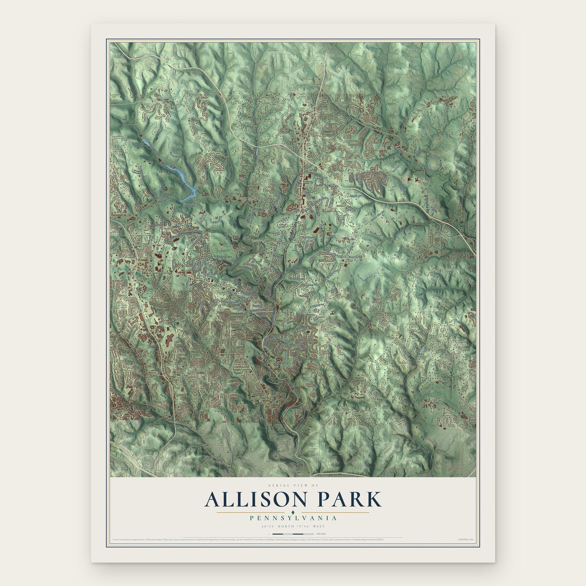
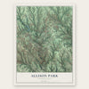
Allison Park, Pennsylvania Map Art
Building by building, with labeled streets and shaded relief.
12" x 18" Archival Matte Print
A Map of Home. A Work of Art.
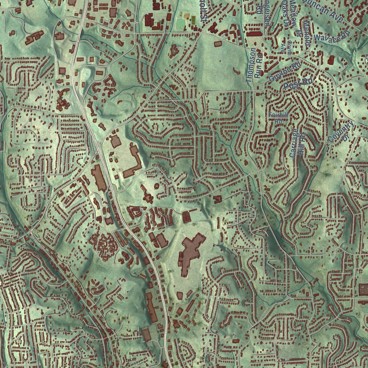
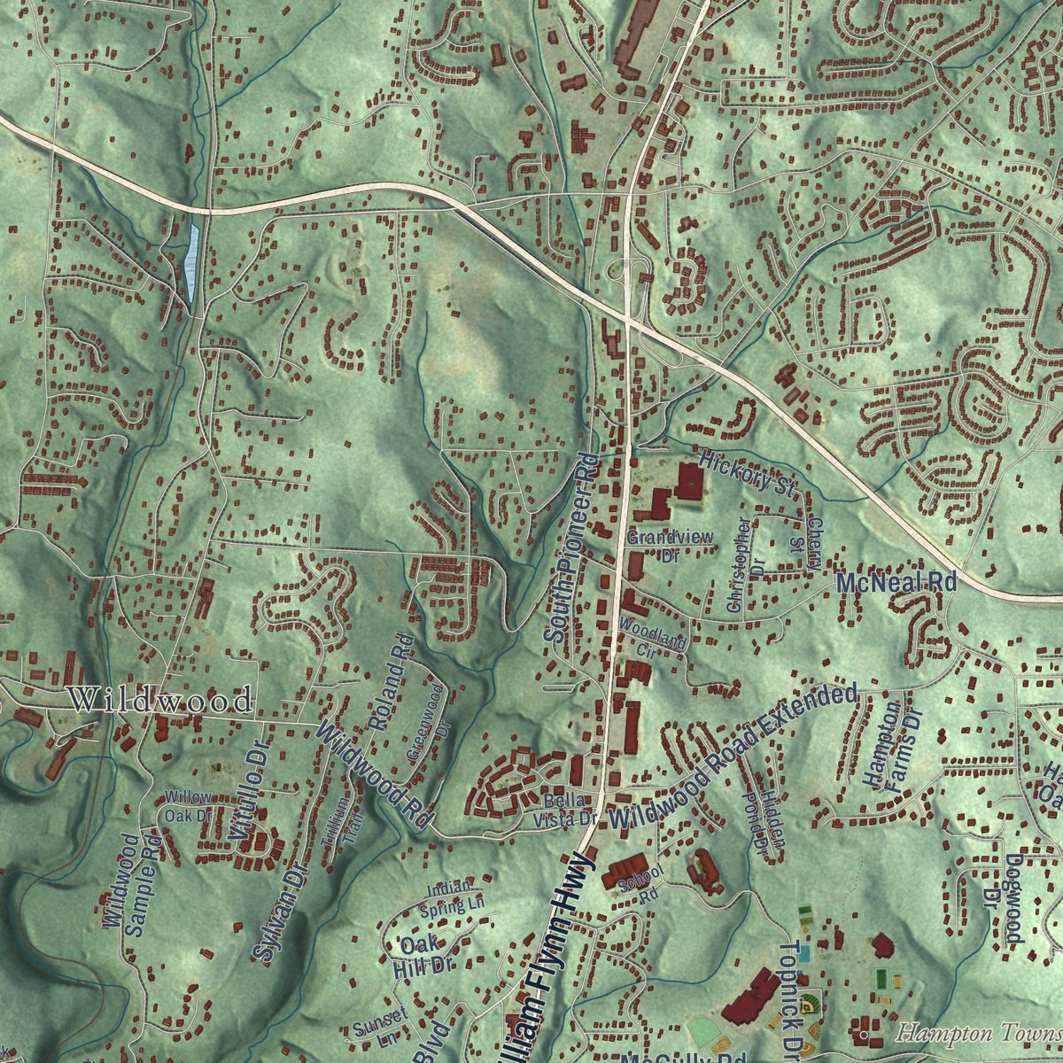
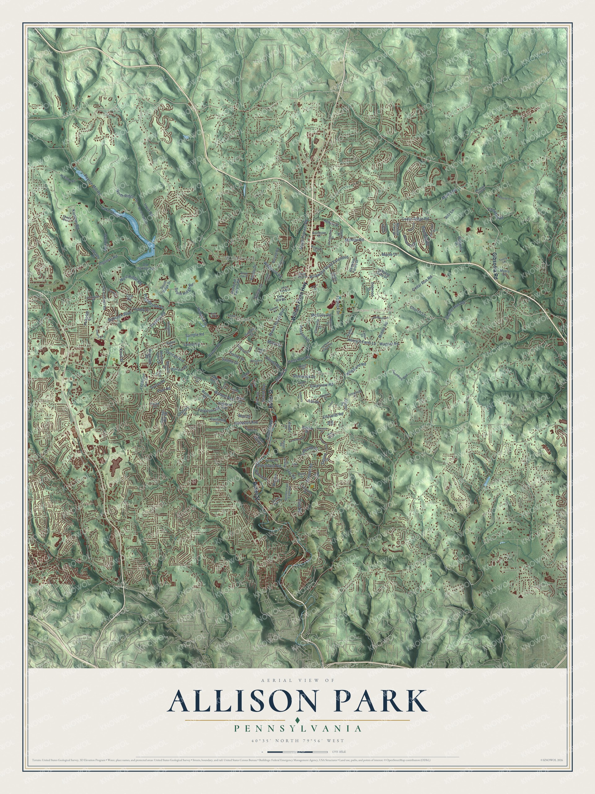
Explore Allison Park, Pennsylvania from a whole new perspective. Created using aerial imagery and detailed geographic data, this map captures Allison Park building by building, with labeled streets, familiar landmarks, and shaded topographical relief that highlights the natural contours of the landscape.
Combining modern data with the timeless character of a vintage atlas, this map is just as interesting up close as it is beautiful on the wall. Whether you grew up in Allison Park, spent memorable years there, or call it home today, this unique map is a great way to celebrate a place that means something to you. Zoom in on the preview to look for your street, and then order a print to put your memories on the wall.
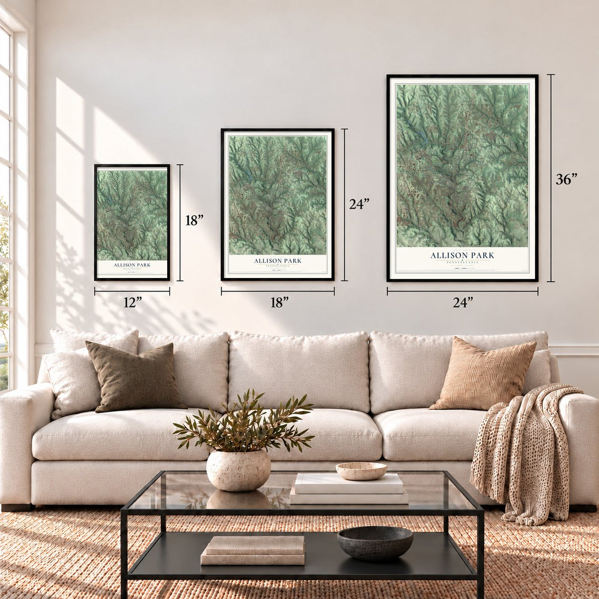
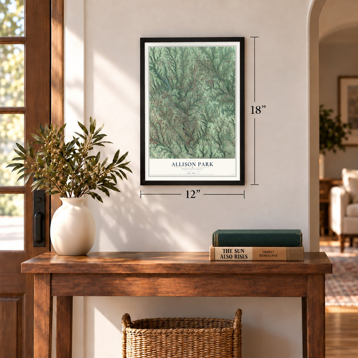
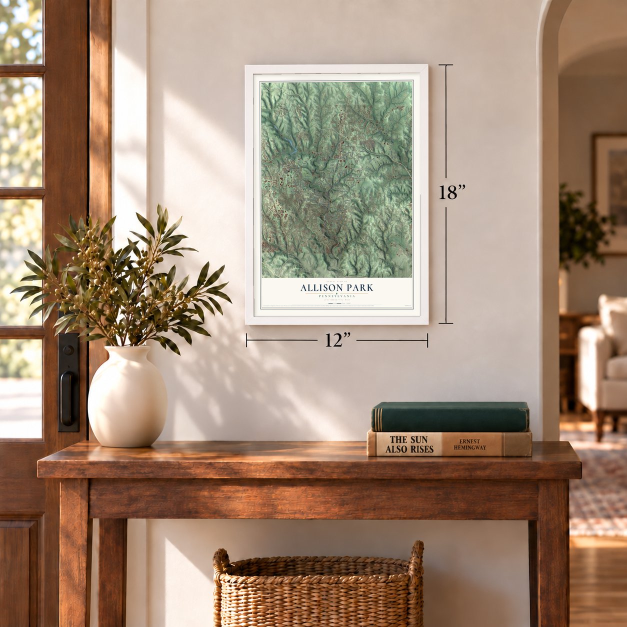
Three ways to hang it
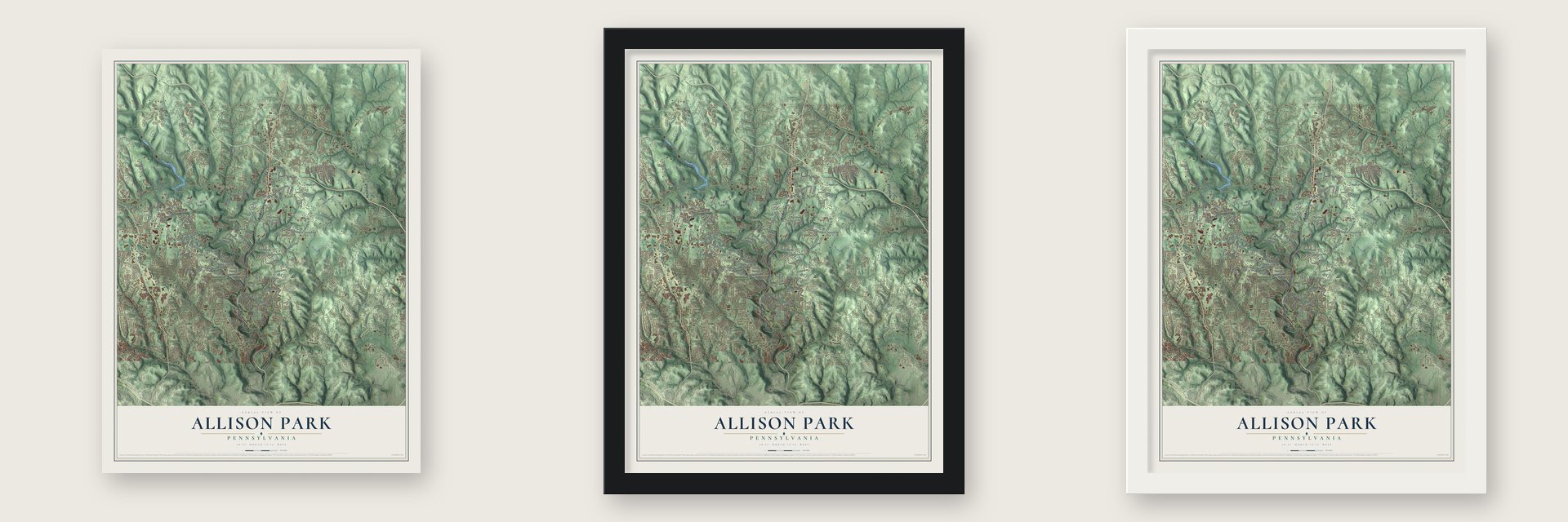
Unframed archival matte, a black wood frame or a white wood frame.
Up close
Geography Worth Displaying
This map was created using accurate cartographic data and authoritative geographic sources, including the U.S. Geological Survey and the Census Bureau. The map brings together terrain, waterways, roads, and building detail. The majority of the streets are labeled, houses are accurately depicted, and the topography is derived from government sources. Combining local data with carefully composed color and shading leads to this beautifully detailed Allison Park artwork for your wall.
Rather than simply showing street outlines, we’ve included as many of the street names as we could reasonably fit on the map while keeping their names legible. Zoom in on the high resolution preview to see exactly what’s on the map. We truly set out to create a statement piece for anyone who loves Allison Park. So whether it’s for you, or a gift for someone you love, we hope this map of Allison Park brings back fond memories.
Read the story behind this map of Allison Park, Pennsylvania from 2026.
Find your street
Names on the Allison Park map
Every name below is printed on this map. Look for your street, your school, the park where you played, or the pond down the road.
Places and landmarks4
- Hampton Township Hall
- Wildwood
- Bryant
- Sample
Streets and roads172
- William Flynn Highway
- Butler Street
- Gibsonia Road
- Wildwood Road
- Ingomar Road
- Peebles Road
- Hemlock Drive
- Babcock Boulevard
- Middle Road
- Duncan Avenue
- Kummer Road
- Mount Royal Boulevard
- Sample Road
- Cedar Run Road
- Elfinwild Road
- Lake Shore Drive
- Cedar Ridge Road
- McCully Road
- Ferguson Road
- Burchfield Road
- Pearce Mill Road
- Harts Run Road
- Clearview Road
- Walter Road
- Campbell Road
- Wildwood Road Extended
- Wagner Road
- South Ridge Road
- Bryant Road
- Wyland Avenue
Show all 172 streets
- McNeal Road
- Bayfield Road
- Laurel Lane
- West Ridge Road
- Martin Road
- South Pioneer Road
- Irwin Road
- Dressel Road
- North Ridge Lane
- Rosanna Drive
- Post Road
- Topnick Drive
- Henrich Farm Lane
- Saddle Drive
- Shaffer Run Road
- Church Lane
- Sylvan Drive
- Felicity Avenue
- Presidential Drive
- Hampton Avenue
- Ash Drive
- Shamrock Drive
- Old Route 8
- Ritz Lane
- Woodland Road
- Herron Road
- Vitullo Drive
- Maine Drive
- Grand Avenue
- Trotter Drive
- Lakeside Drive
- Leo Road
- Flint Road
- Knoll Street
- Mae Drive
- Miller Drive
- Wildwood Sample Road
- Thompson Run Road
- Old Kummer Road
- Sapling Drive
- Lake Avenue
- Menold Drive
- Palamino Drive
- Carriage Hill Road
- Hedwig Drive
- Walters Road
- Wallace Road
- Coventry Drive
- Oak Hill Drive
- Guyton Road
- Woodlake Drive
- South Ridge Drive
- Balsam Drive
- Parkedge Drive
- Highland Avenue
- Old Ingomar Road
- Willruth Drive
- Beauty Drive
- Roland Road
- Sample Court
- Ringeisen Road
- Laurel Hill Road
- Clareville Drive
- Myers Lane
- Dogwood Drive
- Meadow Crest Drive
- Wooster Drive
- California Drive
- Meadow Oaks Drive
- Hampton Oaks Drive
- Hickory Street
- Hampton Farms Drive
- Hieber Lane
- Kirk Avenue
- Kramer Road
- Arden Drive
- Cole Road
- Alpha Drive
- Hill Road
- Spencer Lane Extended
- McKinney Road
- North Ridge Drive
- Tanglewood Drive
- Victory Drive
- Letort Lane
- Saxonburg Boulevard
- Bella Vista Drive
- Circle Drive
- Springfield Drive
- Covington Place
- Hidden Pond Drive
- Pamela Drive
- Green Brier
- Christopher Drive
- Linden Drive
- Grandview Drive
- Kenson Drive
- Skyline Drive
- Lampl Lane
- Sunnyfield Drive
- Cherry Lane
- Trinity Lane
- Glades Drive
- Cherry Street
- Mica Drive
- Sunset Lane
- Manuel Drive
- Hieber Road
- Fairhill Road
- Ridge Drive
- Naomi Terrace
- Harlo Drive
- Huntertown Road
- Greentree Lane
- Apple Ridge Drive
- Indian Spring Lane
- Ponderosa Drive
- Stoneridge Drive
- Mountain View Road
- Countryside Drive
- Long Meadow Drive
- Willow Oak Drive
- Greenwood Drive
- School Road
- Trillium Trail
- Woodland Circle
- Tremont Drive
- Forest Lane
- Foxgrove Lane
- Tamarack Drive
- Valleyview Drive
- Old New England Road
- Spencer Grove Lane
- Summers Drive
- Bayhill Drive
- Thomas Drive
- Buck Tail Drive
- Forest Avenue
- Mary Ann Drive
- Coyne Avenue
- Toner Avenue
- Zeno Lane
Names are listed as they appear on the printed map. Zoom into the product photos to find them.
About Allison Park, Pennsylvania
Allison Park is a community of 21,864 people in Allegheny County. It is a Pittsburgh suburb that spreads across five townships: Hampton, McCandless, Shaler, Indiana and West Deer. In the 18th century the area belonged to the large Pitt Township and went by the name Talley Cavey. Early Irish settlers chose that name for Tullycavy, a place on the Ards Peninsula near Greyabbey in County Down, now part of Northern Ireland.
- The meaning of Talley CaveyThe old name is Irish Gaelic for "hill over the borough." The settlement began in the woods that now line Mt. Royal Boulevard. It reached all the way to the land where the Pennsylvania Turnpike runs today.
- Allison Park by 1889The History of Allegheny County, published in 1889, reported that a farm here had been cut into lots. Many houses were being built on it, and by then people called the place Allison Park.
Keep exploring Pennsylvania
Allison Park is one of 3,725 Pennsylvania towns we've mapped. Every dot on the map is a print of its own.
The search covers every state, Pennsylvania first.
Near Allison Park
Order 2 or more town maps and save 10%. Shown in the size and finish you picked above, so they hang as a set.
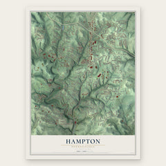
- Hampton 12" x 18" / Archival Matte Print $39.99
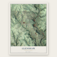
- Glenshaw 12" x 18" / Archival Matte Print $39.99
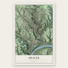
- Shaler 12" x 18" / Archival Matte Print $39.99
More maps nearby: McCandless, Dorseyville, Gibsonia, Indiana and Ross.
The art of mapping a place
How This Map Was Made
Real places. Remarkable detail. Discover the layers that turn geographic data into a map of home.

The view from above
Aerial imagery reveals the character of the land: woodland, open fields, and the patterns of a place.

The shape of the land
Elevation data brings hills, valleys, and subtle changes in the landscape into view.

The details of home
Roads, waterways, and building footprints come together to make the map feel unmistakably local.

Geography becomes art
Considered color, shading, and typography bring the layers together in a map made for your wall.


Process illustrated with Mendon, Massachusetts. Aerial imagery: USDA NAIP. Terrain: USGS 3D Elevation Program. Map details and finished artwork: KNOWOL.
The Details
About This Print
Choose an archival matte print, or a black or white Ayous wood frame. The archival matte print is unframed.
Select your size and finish above to see the matching product image and price.
Materials & Craftsmanship
A contemporary map with the character of a classic atlas, printed on archival matte paper. Optional frames are made from Ayous wood.
Your printed map does not include the watermark shown in the full-map preview.
Shipping & Delivery
Free shipping within the United States. Every print is made to order in the USA.
Buying a gift? Add a note in your cart and we'll include it. We never put prices in the package.
Prints ship within 2 to 3 business days. Allow 7 to 10 days total from ordering for delivery. Timing may vary during holidays or periods of high order volume.
Read our shipping policy.
Returns and damaged prints
Each print is made to order. Change-of-mind refunds are not available after production.
If your print arrives damaged, misprinted or incorrect, contact support@knowol.com within 30 days of receiving it. Include your order number, photos and a description of the issue.
Read our full refund and replacement policy. For questions about your order, email support@knowol.com.