
Search for another town



Free U.S. delivery 7 to 10 days after you order
Amherst, Massachusetts Map Art
Building by building, with labeled streets and shaded relief.
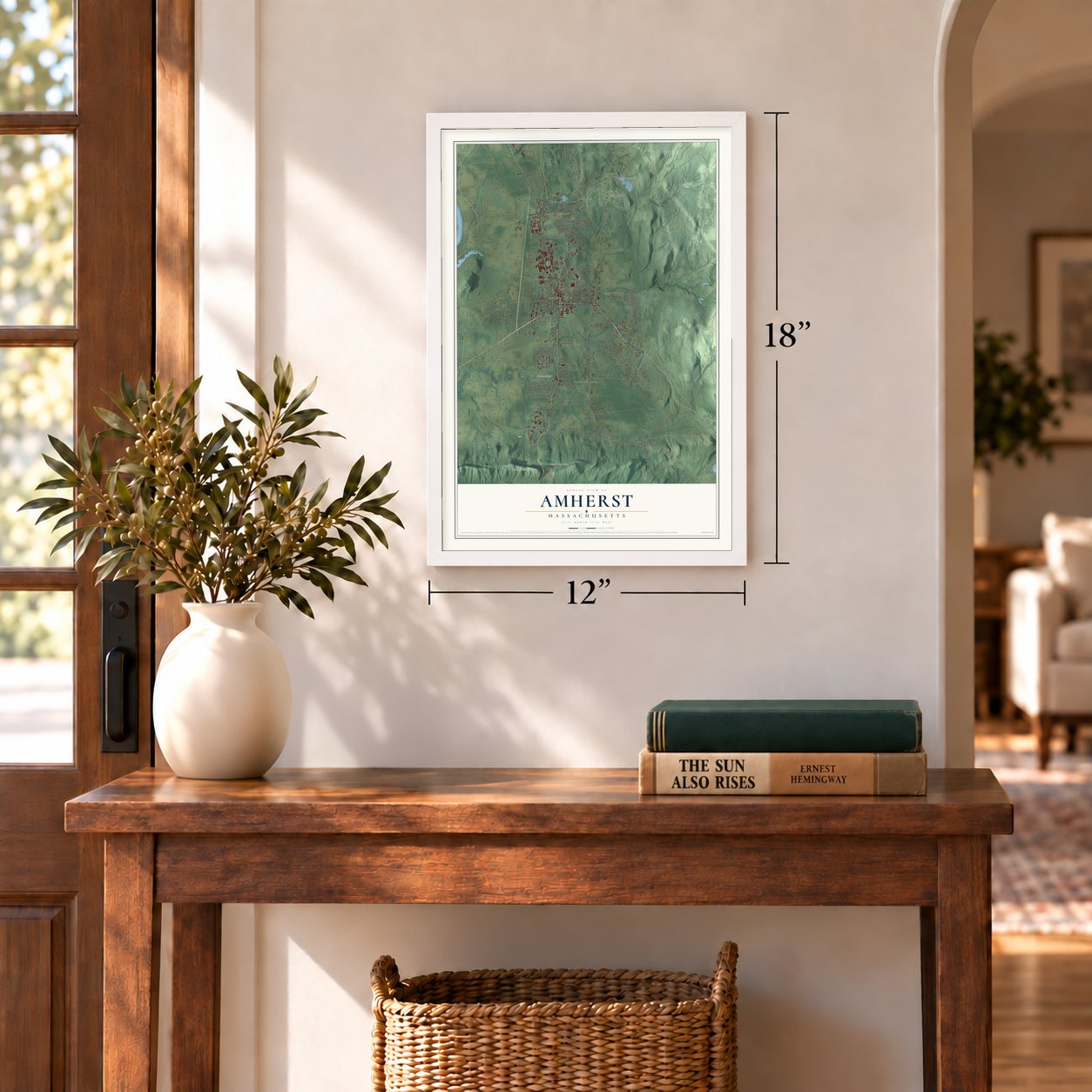
12" x 18" Archival Matte Print
A Map of Home. A Work of Art.
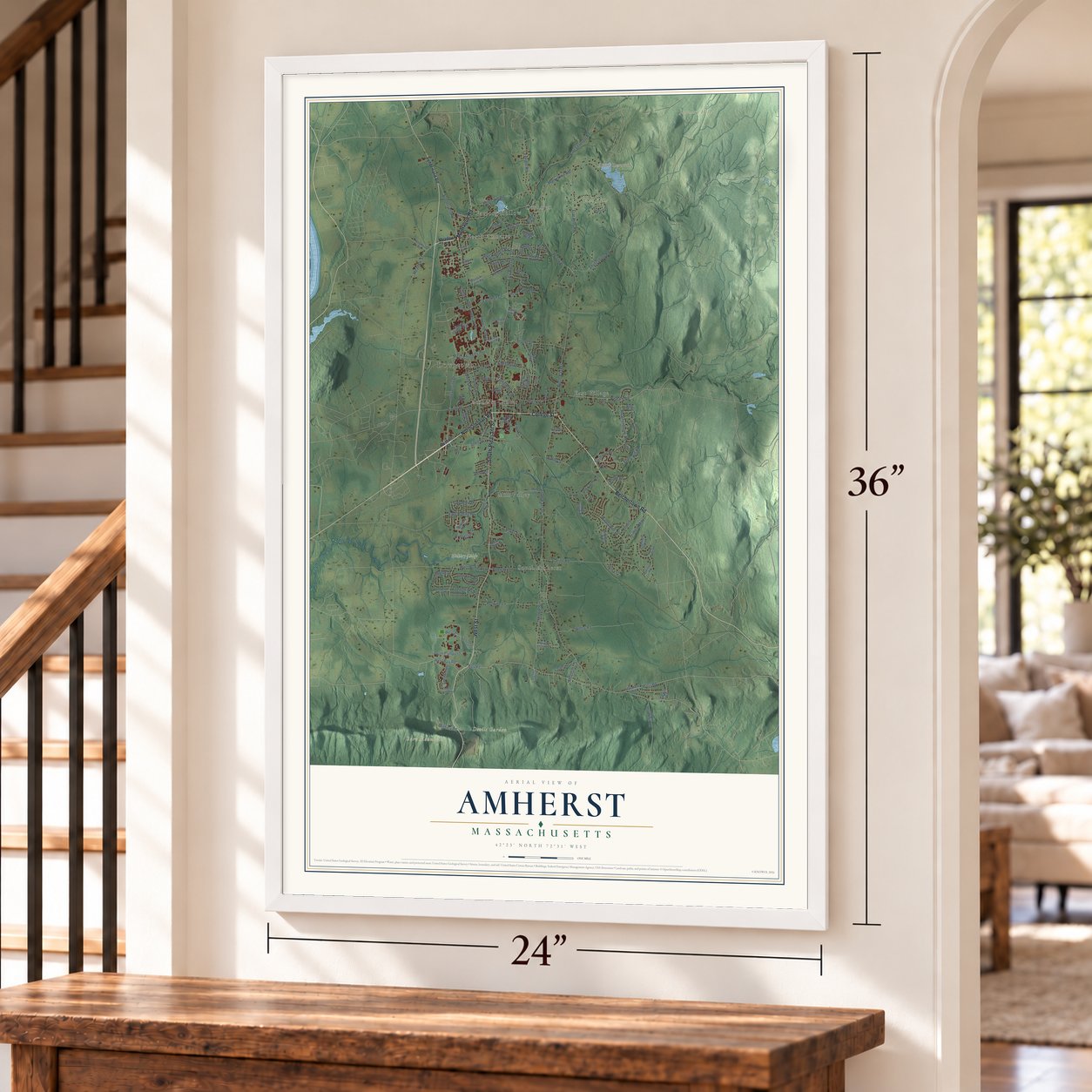
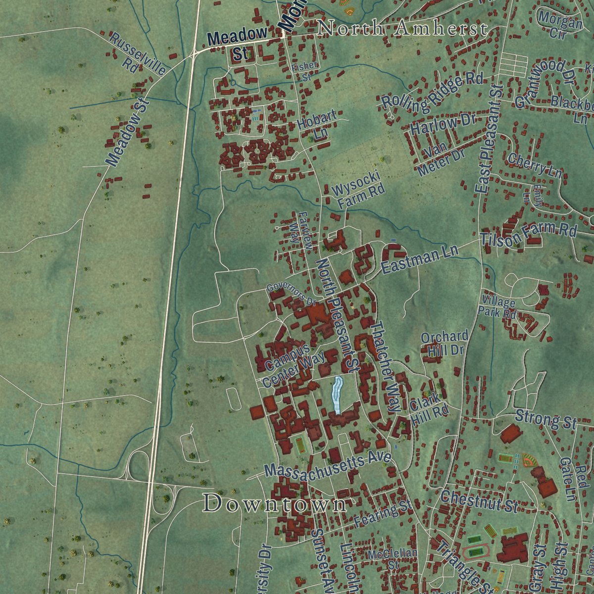
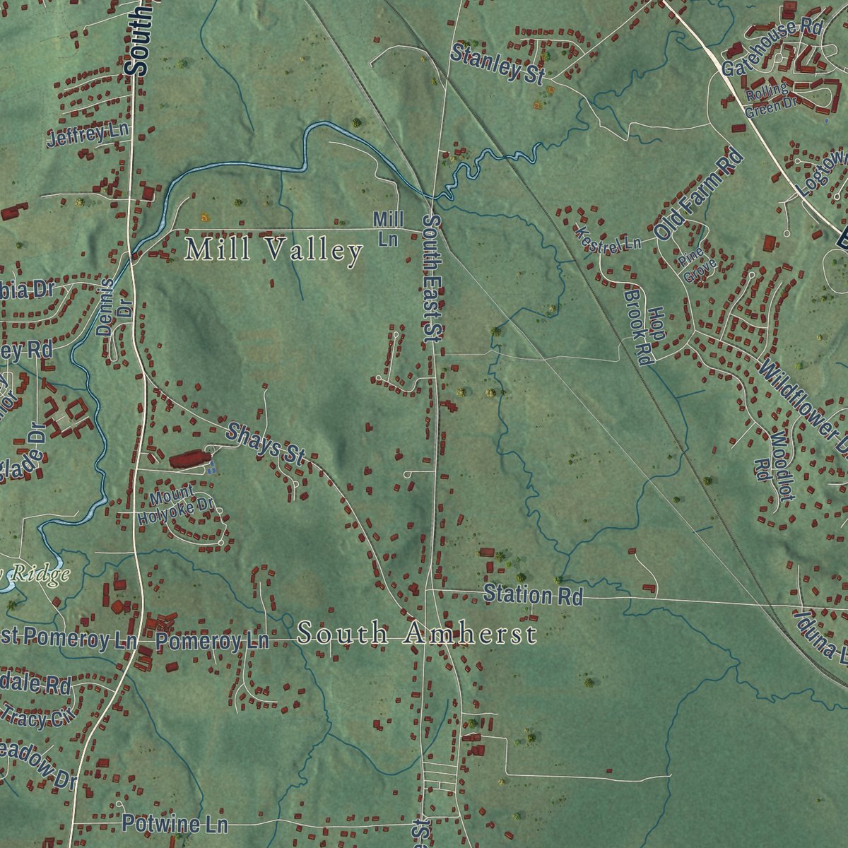
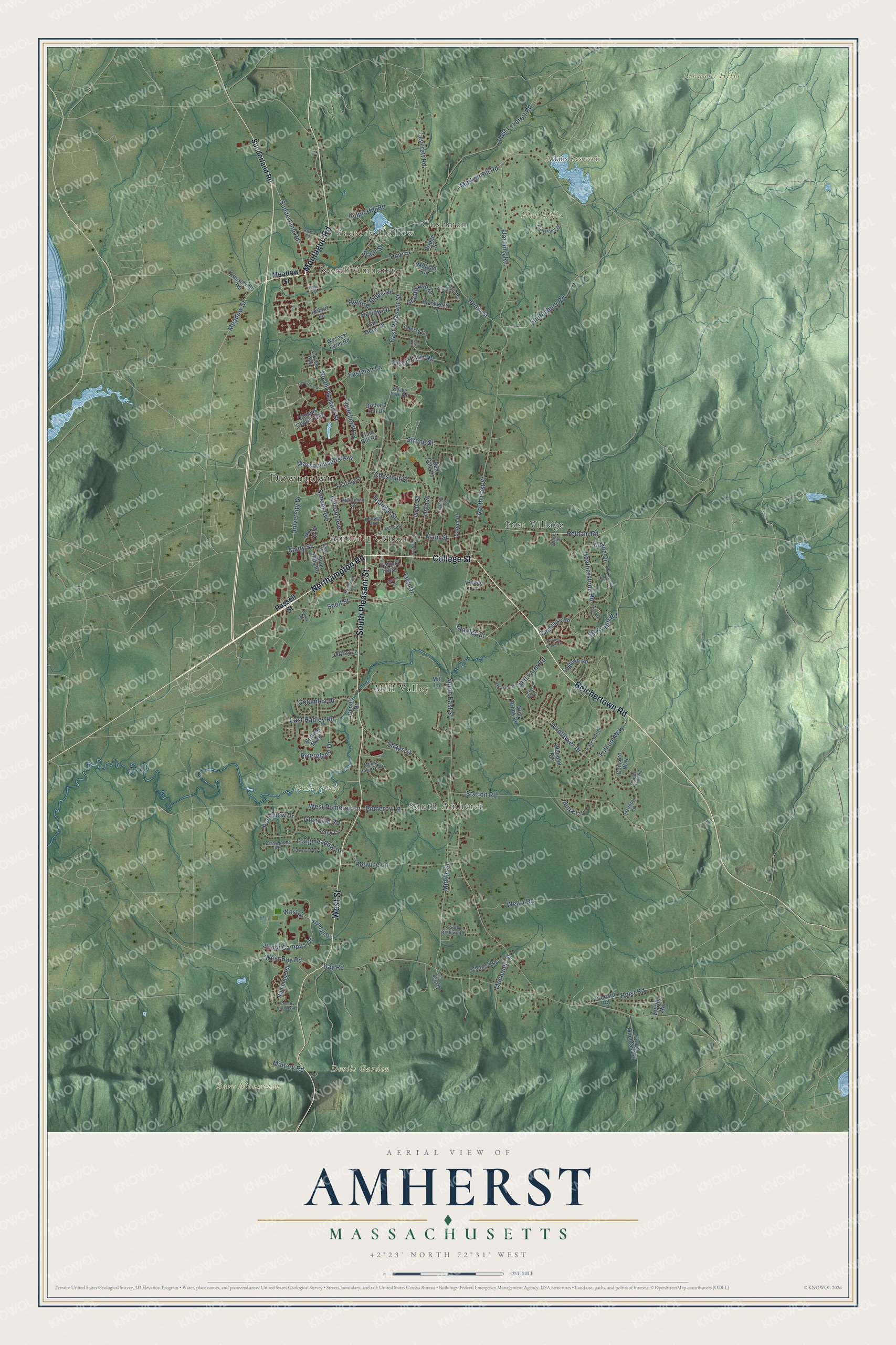
Explore Amherst, Massachusetts from a whole new perspective. Created using aerial imagery and detailed geographic data, this map captures Amherst building by building, with labeled streets, familiar landmarks, and shaded topographical relief that highlights the natural contours of the landscape.
Combining modern data with the timeless character of a vintage atlas, this map is just as interesting up close as it is beautiful on the wall. Whether you grew up in Amherst, spent memorable years there, or call it home today, this unique map is a great way to celebrate a place that means something to you. Zoom in on the preview to look for your street, and then order a print to put your memories on the wall.
Three ways to hang it
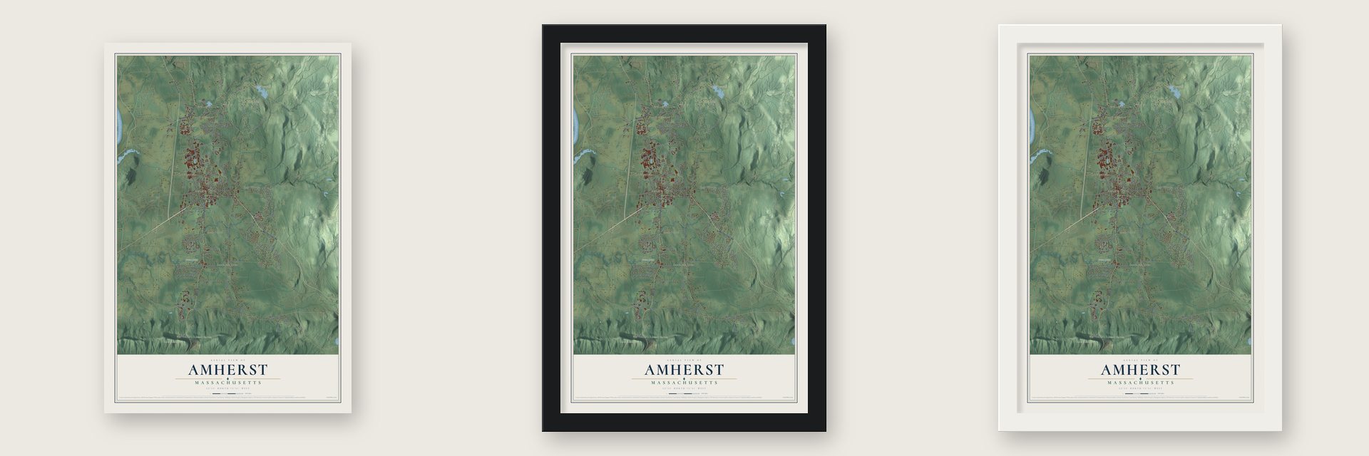
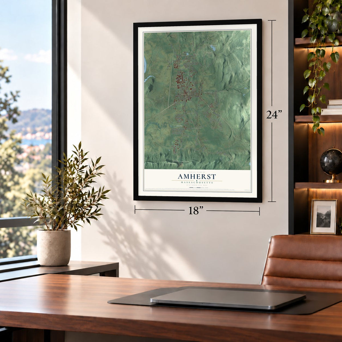
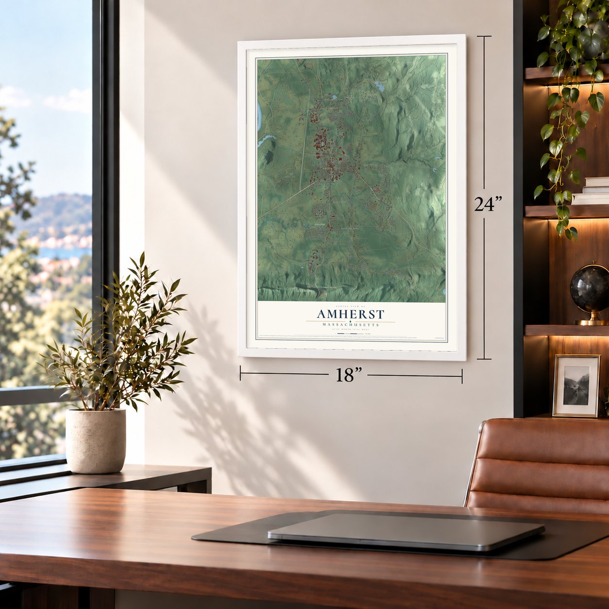
Unframed archival matte, a black wood frame or a white wood frame.
Up close
Geography Worth Displaying
This map was created using accurate cartographic data and authoritative geographic sources, including the U.S. Geological Survey (USGS) and FEMA. The map brings together terrain, waterways, roads, and building detail. The majority of the streets are labeled, houses are accurately depicted, and the topography is derived from government sources. Combining local data with carefully composed color and shading leads to this beautifully detailed Amherst artwork for your wall.
Rather than simply showing street outlines, we’ve included as many of the street names as we could reasonably fit on the map while keeping their names legible. Zoom in on the high resolution preview to see exactly what’s on the map. We truly set out to create a statement piece for anyone who loves Amherst. So whether it’s for you, or a gift for someone you love, we hope this map of Amherst brings back fond memories.
Explore the full map of Amherst, Massachusetts and read about the local places it shows.

Find your street
Names on the Amherst map
Every name below is printed on this map. Look for your street, your school, the park where you played, or the pond down the road.
Places and landmarks14
- Downtown
- Factory Hollow
- North Amherst
- Cushman
- Bare Mountain
- Devils Garden
- Flat Hills
- January Hills
- Atkins Reservoir
- Hickory Ridge
- Mill Valley
- South Amherst
Show all 14 places
- East Village
- Amherst Center
Streets and roads135
- Belchertown Road
- Northampton Road
- College Street
- South Pleasant Street
- Montague Road
- West Street
- Sunderland Road
- Meadow Street
- Market Hill Road
- University Drive
- Snell Street
- Main Street
- Pelham Road
- Amity Street
- Henry Street
- Sunset Avenue
- Eastman Lane
- South East Street
- Bay Road
- North Pleasant Street
- East Pleasant Street
- North East Street
- Station Road
- Middle Street
- Lincoln Avenue
- Flat Hills Road
- South Campus Drive
- East Leverett Road
- Pine Street
- Massachusetts Avenue
Show all 135 streets
- State Street
- Well 4 Road
- Shays Street
- Potwine Lane
- Wildflower Drive
- Old Farm Road
- East Hadley Road
- Strong Street
- Pulpit Hill Road
- West Pomeroy Lane
- Stony Hill Road
- Leverett Road
- Pomeroy Lane
- Shutesbury Road
- Hulst Road
- Stanley Street
- Pondview Drive
- Thatcher Way
- Heatherstone Road
- Trillium Way
- Triangle Street
- West Bay Road
- Grantwood Drive
- Riverglade Drive
- High Street
- Glendale Road
- Rolling Ridge Road
- Columbia Drive
- Mechanic Street
- Tilson Farm Road
- Longmeadow Drive
- Gray Street
- Chestnut Street
- East Drive
- Alpine Drive
- Harlow Drive
- Iduna Lane
- Military Road
- Russell Street
- Mill Lane
- Orchard Road
- Cherry Lane
- Fearing Street
- Woodlot Road
- Logtown Road
- Rambling Road
- Orchard Hill Drive
- Morgan Circle
- Chapel Road
- Concord Way
- Campus Center Way
- Bridge Street
- Blackberry Lane
- Harris Mountain Road
- Hop Brook Road
- Tracy Circle
- Blue Hills Road
- Gatehouse Road
- Van Meter Drive
- Russelville Road
- Red Gate Lane
- Clark Hill Road
- Village Lane
- Brittany Manor
- Elf Hill Road
- Kendall Drive
- Wysocki Farm Road
- Dennis Drive
- Jeffrey Lane
- Amity Place
- Barrett Hill Drive
- Salem Place
- Hobart Lane
- High Point Drive
- Larkspur Drive
- Village Park Road
- Farview Way
- Mount Holyoke Drive
- Deepwoods Drive
- Kingman Road
- Hawthorn Road
- McClellan Street
- Kellogg Avenue
- Kestrel Lane
- South Orchard Drive
- Ward Street
- Governors Drive
- Aubinwood Road
- Rolling Green Drive
- Woodside Avenue
- Linden Ridge Road
- Greenwich Road
- Dana Street
- Lessey Street
- Country Corners Road
- Cowls Road
- Emily Lane
- Pine Grove
- South Middle Street
- Hickory Lane
- Railroad Street
- Merrill Court
- Canton Avenue
- Baker Road
- Fisher Street
Names are listed as they appear on the printed map. Zoom into the product photos to find them.
About Amherst, Massachusetts
Amherst is a town of 39,263 people in Hampshire County, in the Connecticut River valley. In December 1658 John Pynchon of Springfield bought this land from Umpanchla, Quonquont and Chickwalopp, paying for it in wampum and a coat. Nathaniel Dickinson surveyed it for Hadley by 1665, and the first permanent English settlers came to Hadley's outlands in 1727. The eastern section was made a separate precinct in 1734 and won township status in 1759. The colonial governor named it for Jeffery Amherst, the British commander in the French and Indian War.
Two men started collecting subscriptions for a school in 1812: Samuel F. Dickinson, grandfather of the poet, and Hezekiah W. Strong. Amherst Academy was incorporated in 1816 with Noah Webster, then a resident, on its board, and Amherst College grew out of the academy in 1821. The Massachusetts Agricultural College, today's UMass Amherst, opened in 1867, and when its Pioneer Class graduated in 1871, townspeople hung decorations on the homes lining the road to campus.
“Inasmuch as the Agricultural College was the daughter of Amherst College, this Church is the mother of them all.”
- Palm-leaf hats and gold pensLeonard M. Hills came from Ellington, Connecticut, in 1829 and started making palm-leaf hats. With Henry, his son, the business grew into the country's largest of its kind. The factory burned in 1879 and was rebuilt larger, still employing about three hundred people in the 1920s. Around 1850 Ira C. Haskins opened a gold pen factory making more than fifty styles, and an old distillery made brandy from 3,000 barrels of cider a year.
- Emily Dickinson's HomesteadSamuel Fowler Dickinson built the Homestead on Main Street in 1813, and his granddaughter Emily was born there in 1830. Emily lived in the house from 1855 until she died in 1886, and her poems turned up in her bedroom afterward. It and the Evergreens next door now make up the Emily Dickinson Museum. She lies in Amherst West Cemetery, laid out by Hadley in 1730, with its oldest marked grave from 1737; it joined the National Register in 2000.
- The Strong House, about 1744Nehemiah Strong built this house on Amity Street about 1744, only a few years after settlers arrived. His son Simeon, who went on to serve on the top court of the state, added onto it during the 1790s. The Amherst Historical Society was given the house in 1916, and it holds the Amherst History Museum. It joined the National Register in 1984.
- A church of their ownAn African American congregation raised its own money to build a church, helped along by a visit from Booker T. Washington in 1904, and finished the building in 1910. In 1967 it was renamed Goodwin Memorial African Methodist Episcopal Zion Church for Moses Goodwin and his family. The church joined the National Register in 2000.
- The Dewey Decimal SystemMelvil Dewey worked out his system for organizing library books while he was an assistant librarian at Amherst College in 1876. The poet Robert Frost later taught at the college and retired in Amherst.
Keep exploring Massachusetts
Amherst is one of 466 Massachusetts towns we've mapped. Every dot on the map is a print of its own.
The search covers every state, Massachusetts first.
Near Amherst
Order 2 or more town maps and save 10%. Shown in the size and finish you picked above, so they hang as a set.
- Hadley 12" x 18" / Archival Matte Print $39.99
- Pelham 12" x 18" / Archival Matte Print $39.99
- Hatfield 12" x 18" / Archival Matte Print $39.99
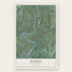


More maps nearby: Leverett, Sunderland, Shutesbury, Belchertown and Whately.
The art of mapping a place
How This Map Was Made
Real places. Remarkable detail. Discover the layers that turn geographic data into a map of home.

The view from above
Aerial imagery reveals the character of the land: woodland, open fields, and the patterns of a place.

The shape of the land
Elevation data brings hills, valleys, and subtle changes in the landscape into view.

The details of home
Roads, waterways, and building footprints come together to make the map feel unmistakably local.

Geography becomes art
Considered color, shading, and typography bring the layers together in a map made for your wall.


Process illustrated with Mendon, Massachusetts. Aerial imagery: USDA NAIP. Terrain: USGS 3D Elevation Program. Map details and finished artwork: KNOWOL.
The Details
About This Print
Choose an archival matte print, or a black or white Ayous wood frame. The archival matte print is unframed.
Select your size and finish above to see the matching product image and price.
Materials & Craftsmanship
A contemporary map with the character of a classic atlas, printed on archival matte paper. Optional frames are made from Ayous wood.
Your printed map does not include the watermark shown in the full-map preview.
Shipping & Delivery
Free shipping within the United States. Every print is made to order in the USA.
Buying a gift? Add a note in your cart and we'll include it. We never put prices in the package.
Prints ship within 2 to 3 business days. Allow 7 to 10 days total from ordering for delivery. Timing may vary during holidays or periods of high order volume.
Read our shipping policy.
Returns and damaged prints
Each print is made to order. Change-of-mind refunds are not available after production.
If your print arrives damaged, misprinted or incorrect, contact support@knowol.com within 30 days of receiving it. Include your order number, photos and a description of the issue.
Read our full refund and replacement policy. For questions about your order, email support@knowol.com.