
Search for another town




Free U.S. delivery 7 to 10 days after you order
Aquinnah, Massachusetts Map Art
Building by building, with labeled streets and shaded relief.
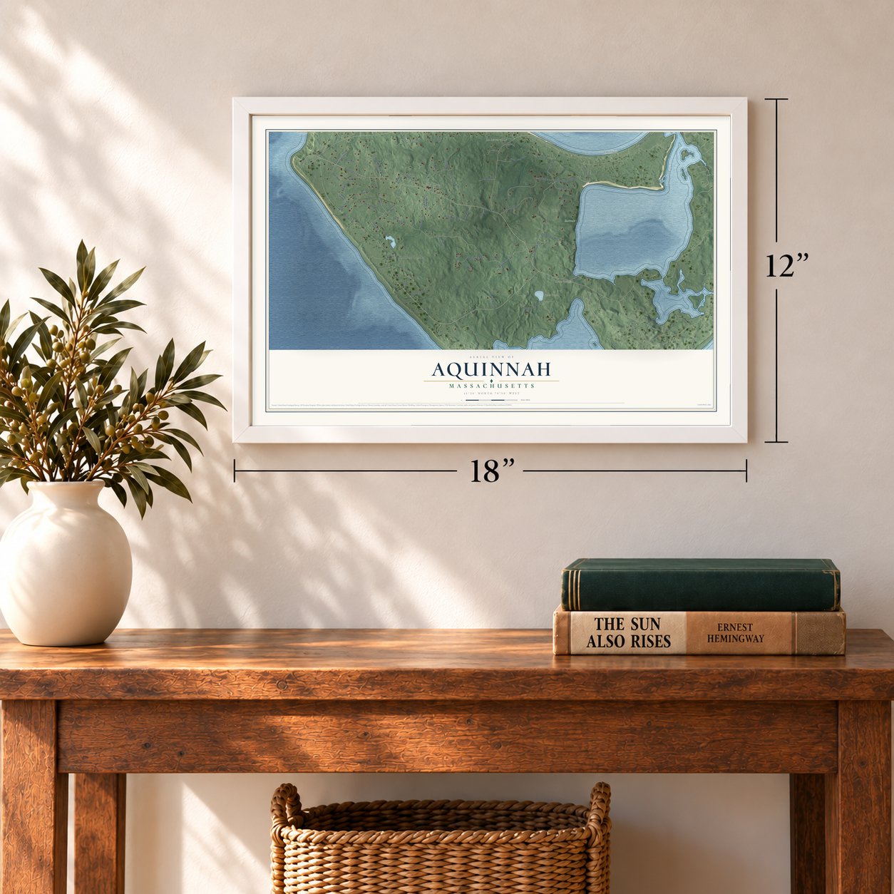
12" x 18" Archival Matte Print
A Map of Home. A Work of Art.
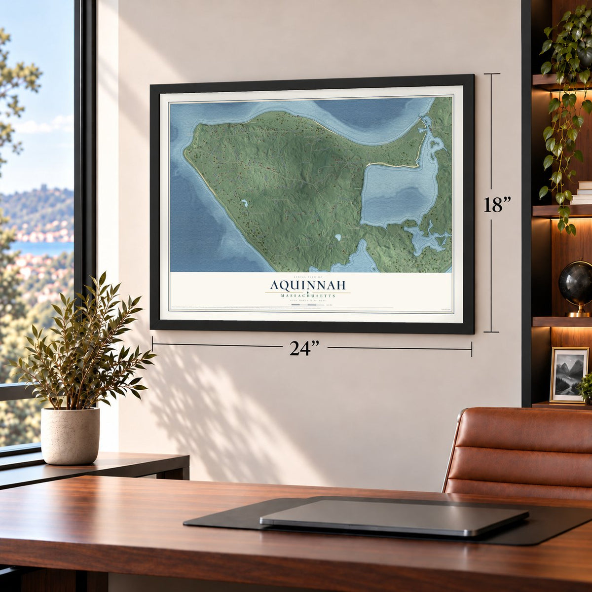
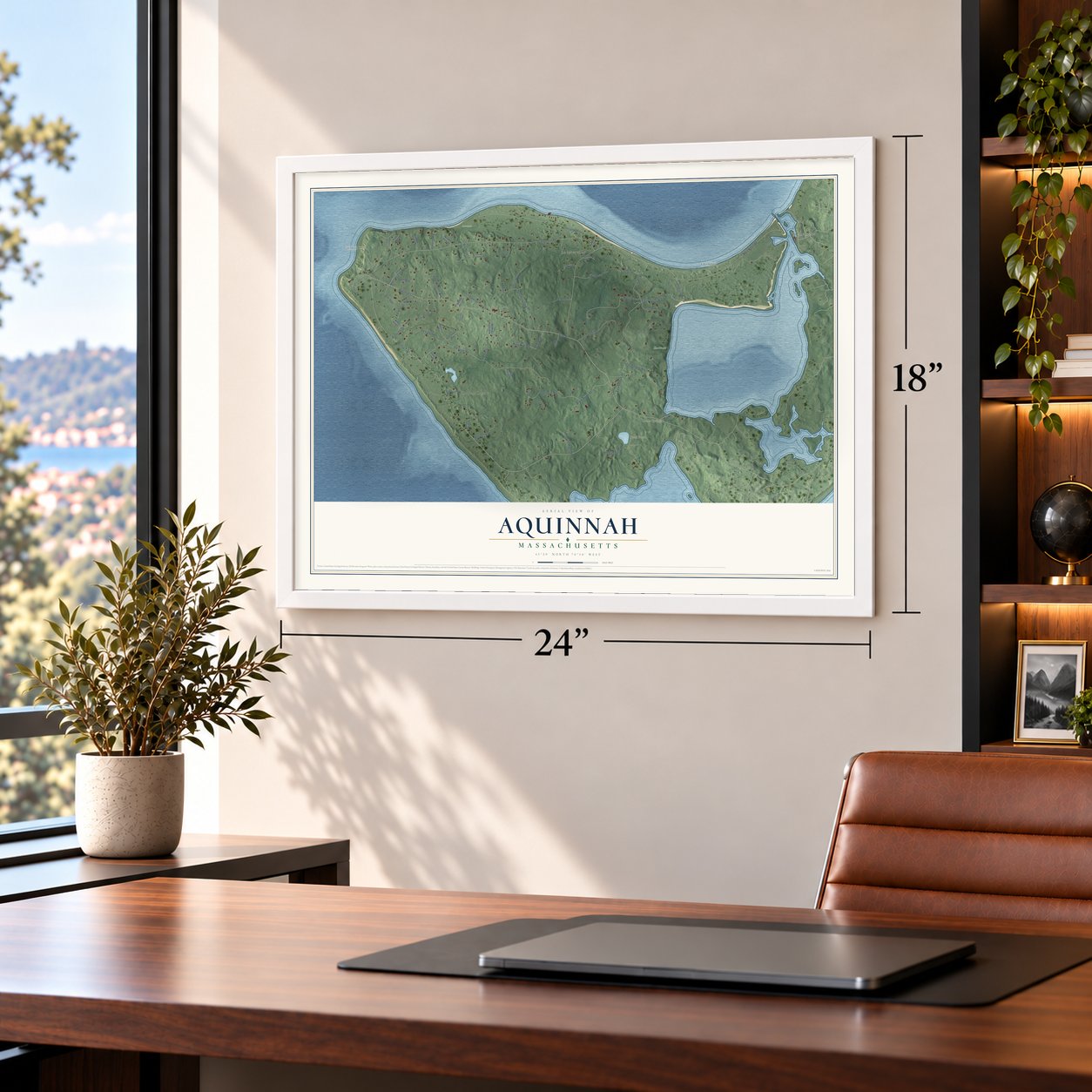
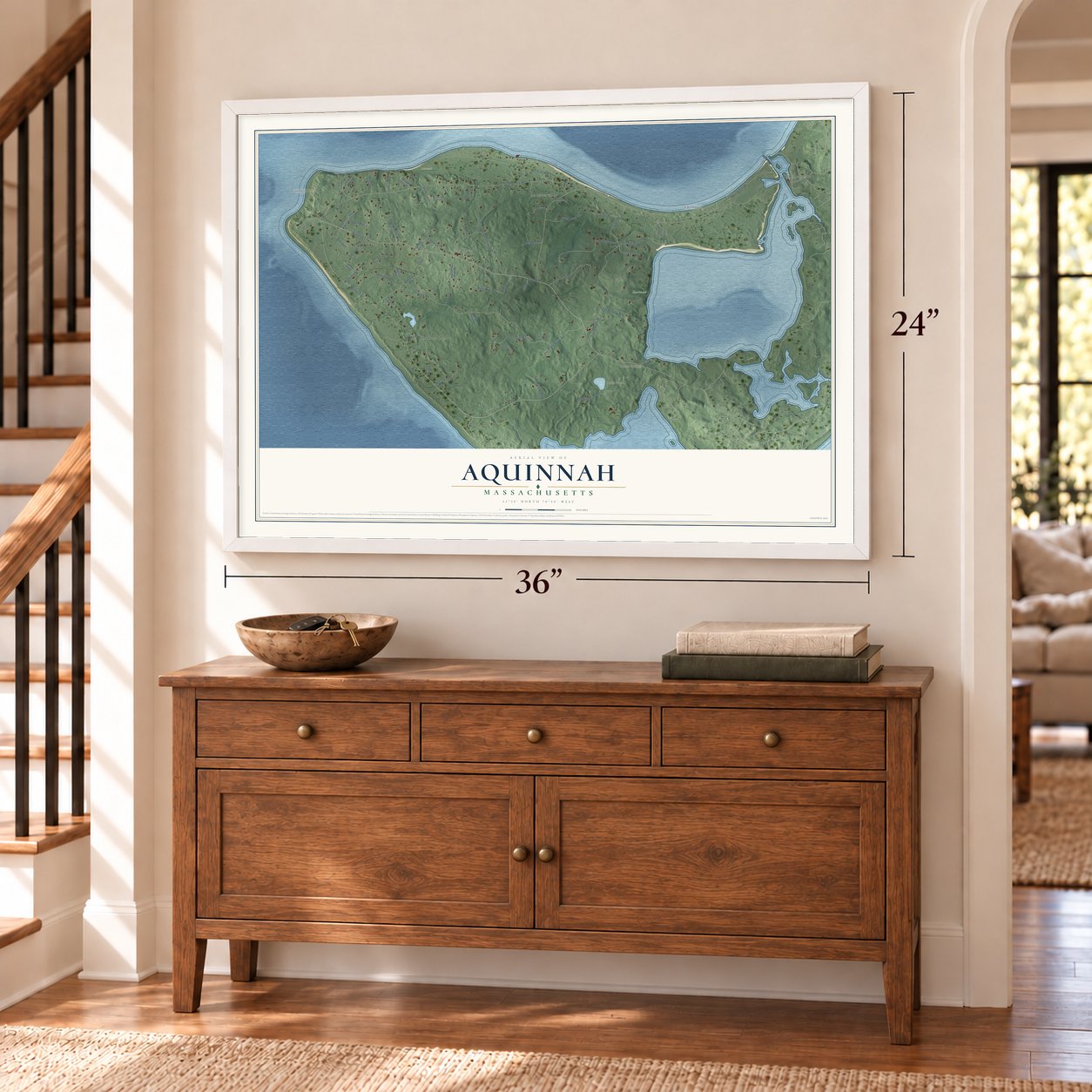
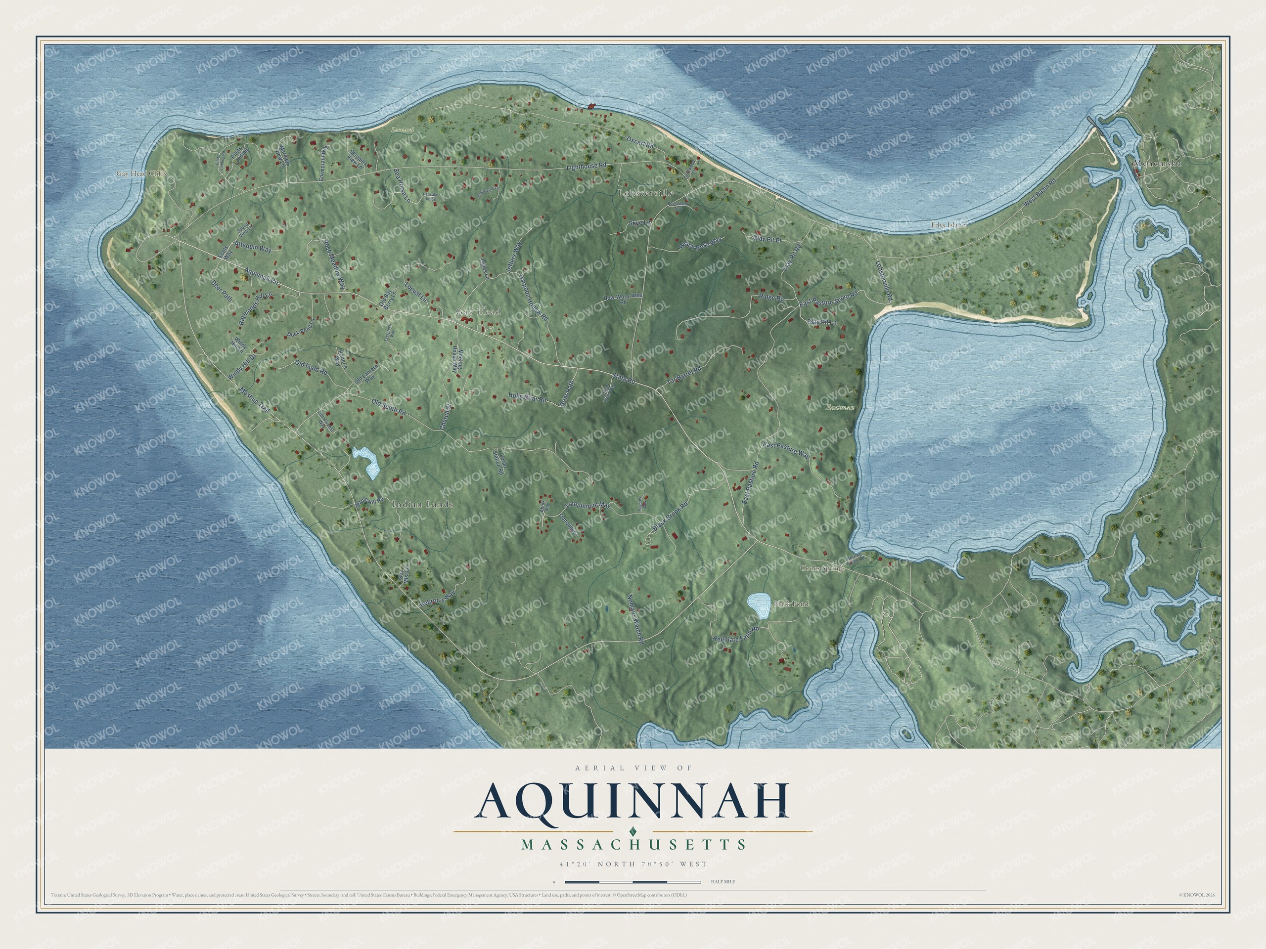
Explore Aquinnah, Massachusetts from a whole new perspective. Created using aerial imagery and detailed geographic data, this map captures Aquinnah building by building, with labeled streets, familiar landmarks, and shaded topographical relief that highlights the natural contours of the landscape.
Combining modern data with the timeless character of a vintage atlas, this map is just as interesting up close as it is beautiful on the wall. Whether you grew up in Aquinnah, spent memorable years there, or call it home today, this unique map is a great way to celebrate a place that means something to you. Zoom in on the preview to look for your street, and then order a print to put your memories on the wall.
Three ways to hang it
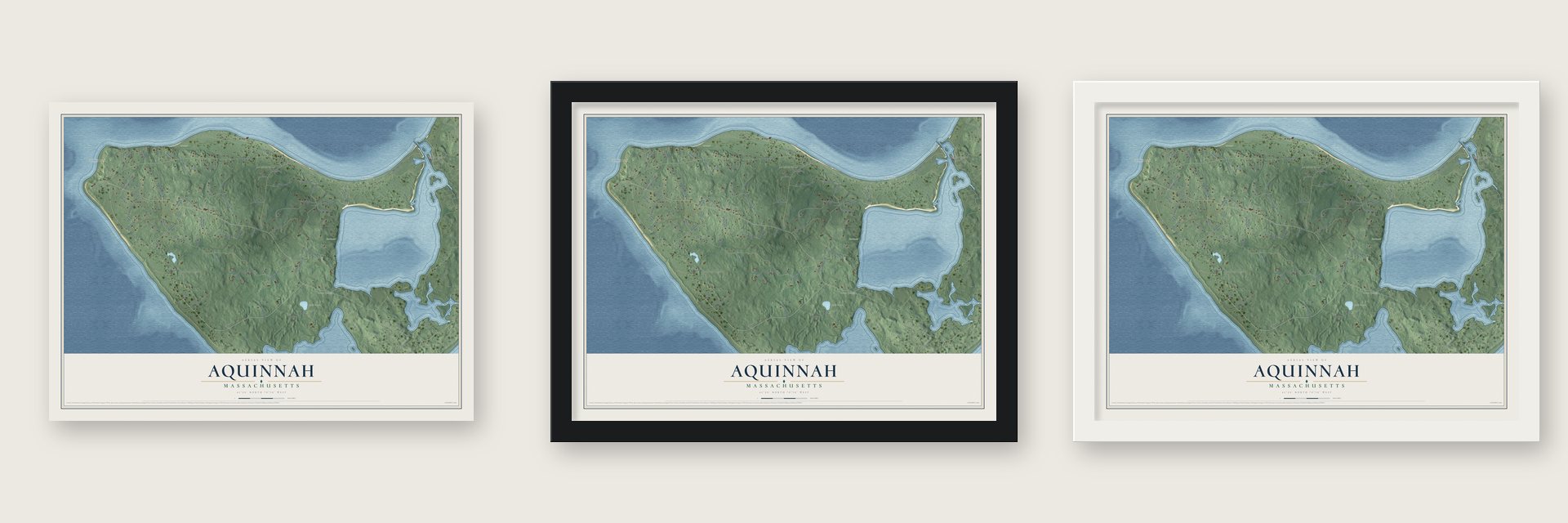
Unframed archival matte, a black wood frame or a white wood frame.
Up close
Geography Worth Displaying
This map was created using accurate cartographic data and authoritative geographic sources, including the U.S. Geological Survey (USGS) and FEMA. The map brings together terrain, waterways, roads, and building detail. The majority of the streets are labeled, houses are accurately depicted, and the topography is derived from government sources. Combining local data with carefully composed color and shading leads to this beautifully detailed Aquinnah artwork for your wall.
Rather than simply showing street outlines, we’ve included as many of the street names as we could reasonably fit on the map while keeping their names legible. Zoom in on the high resolution preview to see exactly what’s on the map. We truly set out to create a statement piece for anyone who loves Aquinnah. So whether it’s for you, or a gift for someone you love, we hope this map of Aquinnah brings back fond memories.
Explore the full map of Aquinnah, Massachusetts and read about the local places it shows.

Find your street
Names on the Aquinnah map
Every name below is printed on this map. Look for your street, your school, the park where you played, or the pond down the road.
Places and landmarks10
- Lobsterville
- Gay Head
- Edys Island
- Gay Head Cliffs
- Black Pond
- Cooks Springs
- Eastman
- Leonard
- Menemsha
- Indian Lands
Streets and roads65
- State Road
- East Pasture Shore Road
- Moshup Trail
- Aquinnah Circle
- Lighthouse Road
- Lobsterville Road
- Old South Road
- West Basin Road
- East Pasture Road
- Oxcart Road
- Totopinnum May
- Red Gate Farm Road
- Ridge Road
- Jeffers Way
- Harpoon Hollow Road
- Locust Lane
- Church Street
- Tar Barrel Road
- East Pasture Way
- Clay Pit Road
- Black Brook Road
- Briar Path
- Holly Briar Road
- Beach Rose Way
- Raymonds Hill Lane
- Old Field Road
- Sea Horse Lane
- Rose Meadow Way
- Attaquin Way
- Clay Pit Place
Show all 65 streets
- Hebron's Way
- Deer Path
- Nomans Watch Road
- Windy Hill Drive
- Clay Pit Lane
- Skye Lane
- Scots Way
- Duck Pond Lane
- Maple Hill Road
- Pilots Landing
- Mariners View Lane
- Meeting House Way
- Old Lantern Way
- How-Woss-Wee Road
- Cormorant Way
- Skippers View Lane
- Potter's Way
- Windy Hill Lane
- Oonouhkoi
- Old Bay Berry Lane
- Loran Station Road
- Sea Mist Lane
- Opies Lane
- Totem Pole Way
- Herring Creek Road
- Old Harvest Way
- Sound View Lane
- Driftwood Lane
- Ahtuk May
- Pancake Hollow
- Pilots Landing Road
- Sandcastle Lane
- Evergreen Way
- Beachwood Way
- Maysies Way
Names are listed as they appear on the printed map. Zoom into the product photos to find them.
About Aquinnah, Massachusetts
Aquinnah is a town of 439 people in Dukes County, at the western tip of Martha's Vineyard. Wampanoag people have lived here for thousands of years: archaeologists date the oldest traces to somewhere from 7,500 to 10,000 years ago, while the tribe's own story says its ancestors crossed to the island on ice from the far north. In 1602 Bartholomew Gosnold sailed past the colored cliffs and called them Dover Cliff, and the state dates European settlement here to 1669.
The Wampanoag community ran its own affairs long before the state recognized it. In 1870 a legislative committee found that the people had governed themselves since 1862 and that all but one of them wanted a separate town, so the land was split from Chilmark and incorporated as Gay Head, named for the bright cliffs. Federal recognition came to the tribe in 1987, and ten years later voters chose 79 to 76 to rename the town Aquinnah, the Wampanoag word for "land under the hill."
“Cut into innumerable forms by the incessant action of the sea, this beetling headland, belted with rainbow-colors, awakens the admiration of the seamen coming towards the coast”
- The lifeboat crews of 1884Before dawn in January 1884, with most passengers asleep, the Boston-to-Savannah steamer City of Columbus struck Devil's Bridge, the rocky ledge off the cliffs. Joseph Peters led volunteer Gay Head men through heavy surf in a lifeboat, rowing off so fast they left their cork jackets, and landed seven survivors. A second crew saved thirteen, twenty of the twenty-six rescued. Each of the twelve rowers won a Massachusetts Humane Society silver medal, but 121 people died.
- Gay Head LightCongress approved a light here in 1798 to keep ships off Devil's Bridge, and in 1799 Ebenezer Skiff lit the island's first lighthouse, a wooden tower. With the cliff edge eroding, the light moved 129 feet inland in 2015 for $3.5 million. It joined the National Register in 1987.
- Moshup and the crabIn Gay Head's oldest stories, the giant Moshup made his home in the Devil's Den, a cliffside hollow some hundred feet deep that opens to the sea. He uprooted trees for fires to roast whales, and drove whales and fish ashore to feed the people. One tale says he quit building a rock causeway toward Cuttyhunk when a crab bit his toe; the reef called Devil's Bridge is what he left. Moshup Beach, under the cliffs, bears his name.
- Clay by the tonAround 1807 Gay Head families sold clay they dug out of the cliffs at three dollars a ton, or more if they carried it to market themselves, and they sold cranberries from their bogs by the bushel. They also dug a canal so alewives could swim from Menemsha Pond into Squibnocket Pond to spawn. The cliffs, where Hitchcock counted 23 bands of colored clay, sand and ore, became a National Natural Landmark in 1965.
- Whalers before Moby-DickWampanoag men here hunted whales from small boats long before commercial whaling took over Nantucket and New Bedford, and Gay Head whalemen were known for earning the best shares aboard a whaler. Herman Melville gave Tashtego, the harpooner of Moby-Dick, a home in Aquinnah. In 1902 the Wampanoag whaleman Amos Smalley, aboard the New Bedford bark Platina, struck a white sperm whale with his harpoon in waters south of the Azores.
Keep exploring Massachusetts
Aquinnah is one of 470 Massachusetts towns we've mapped. Every dot on the map is a print of its own.
The search covers every state, Massachusetts first.
Near Aquinnah
Order 2 or more town maps and save 10%. Shown in the size and finish you picked above, so they hang as a set.
- Chilmark 12" x 18" / Archival Matte Print $39.99
- Cuttyhunk 12" x 18" / Archival Matte Print $39.99
- Gosnold 12" x 18" / Archival Matte Print $39.99

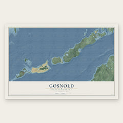
More maps nearby: West Tisbury, Vineyard Haven, Tisbury, Woods Hole and Oak Bluffs.
The art of mapping a place
How This Map Was Made
Real places. Remarkable detail. Discover the layers that turn geographic data into a map of home.

The view from above
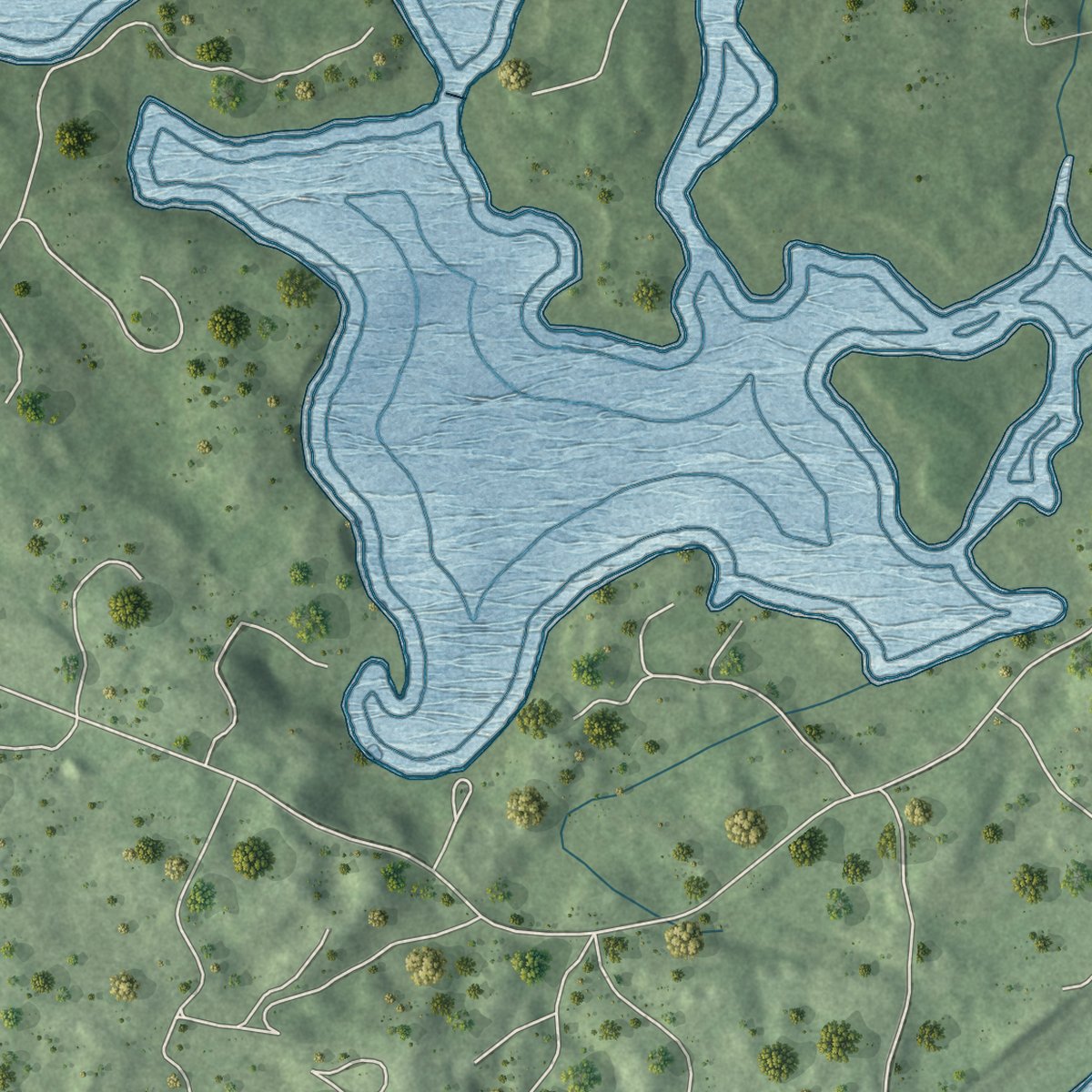
Aerial imagery reveals the character of the land: woodland, open fields, and the patterns of a place.

The shape of the land
Elevation data brings hills, valleys, and subtle changes in the landscape into view.

The details of home
Roads, waterways, and building footprints come together to make the map feel unmistakably local.

Geography becomes art
Considered color, shading, and typography bring the layers together in a map made for your wall.


Process illustrated with Mendon, Massachusetts. Aerial imagery: USDA NAIP. Terrain: USGS 3D Elevation Program. Map details and finished artwork: KNOWOL.
The Details
About This Print
Choose an archival matte print, or a black or white Ayous wood frame. The archival matte print is unframed.
Select your size and finish above to see the matching product image and price.
Materials & Craftsmanship
A contemporary map with the character of a classic atlas, printed on archival matte paper. Optional frames are made from Ayous wood.
Your printed map does not include the watermark shown in the full-map preview.
Shipping & Delivery
Free shipping within the United States. Every print is made to order in the USA.
Buying a gift? Add a note in your cart and we'll include it. We never put prices in the package.
Prints ship within 2 to 3 business days. Allow 7 to 10 days total from ordering for delivery. Timing may vary during holidays or periods of high order volume.
Read our shipping policy.
Returns and damaged prints
Each print is made to order. Change-of-mind refunds are not available after production.
If your print arrives damaged, misprinted or incorrect, contact support@knowol.com within 30 days of receiving it. Include your order number, photos and a description of the issue.
Read our full refund and replacement policy. For questions about your order, email support@knowol.com.