
Search for another town





Free U.S. delivery 7 to 10 days after you order
Batavia, Illinois Map Art
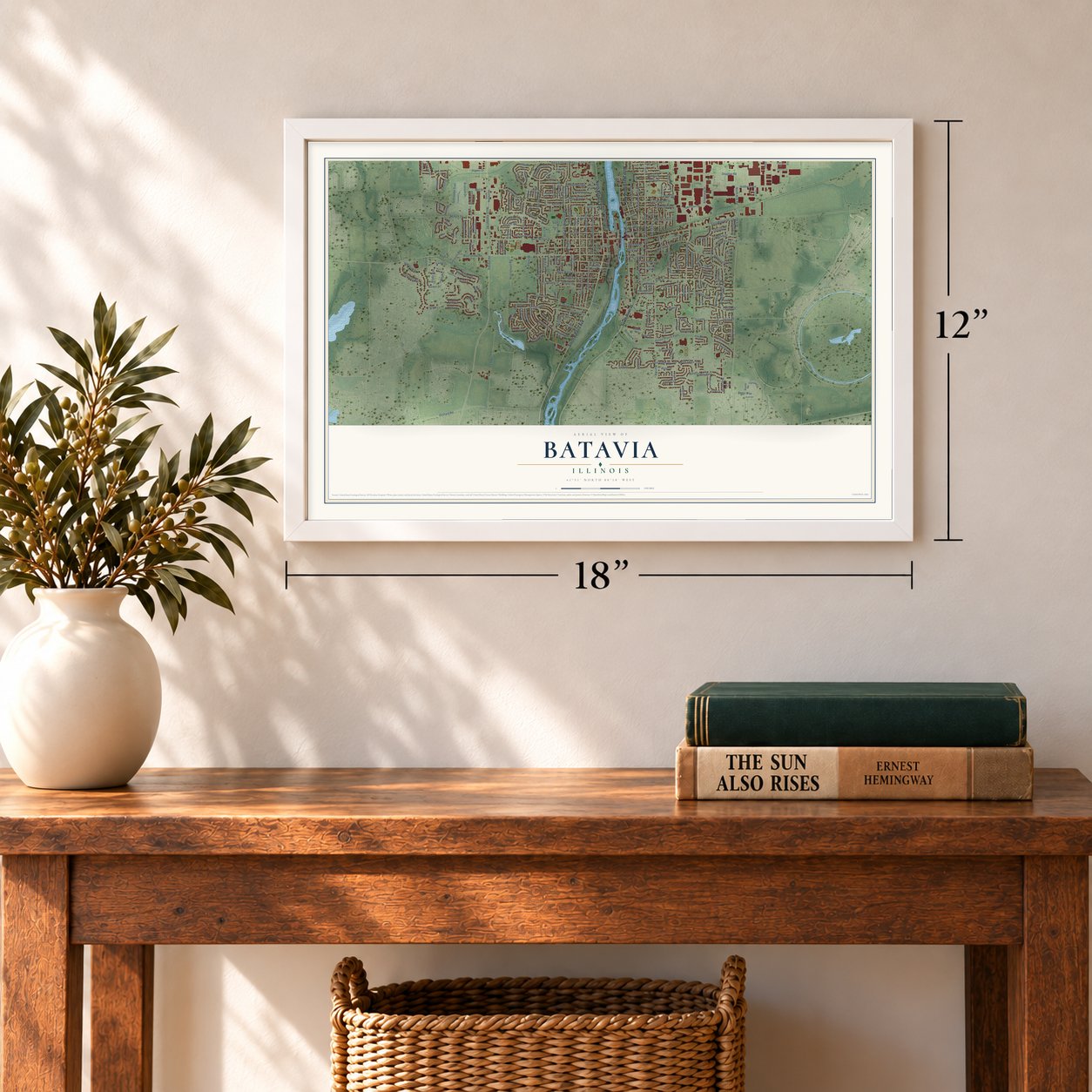
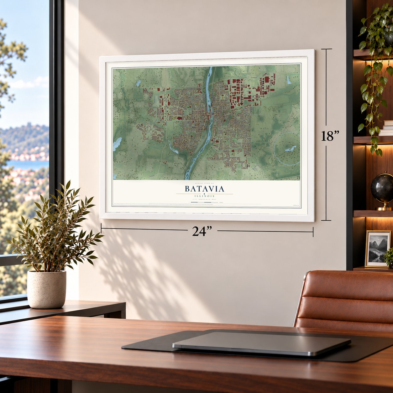
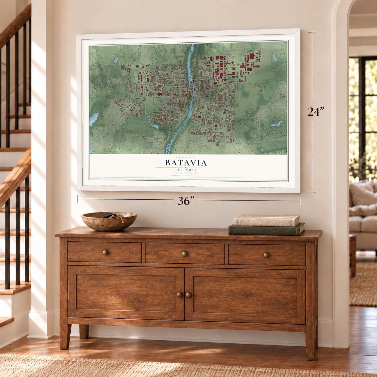
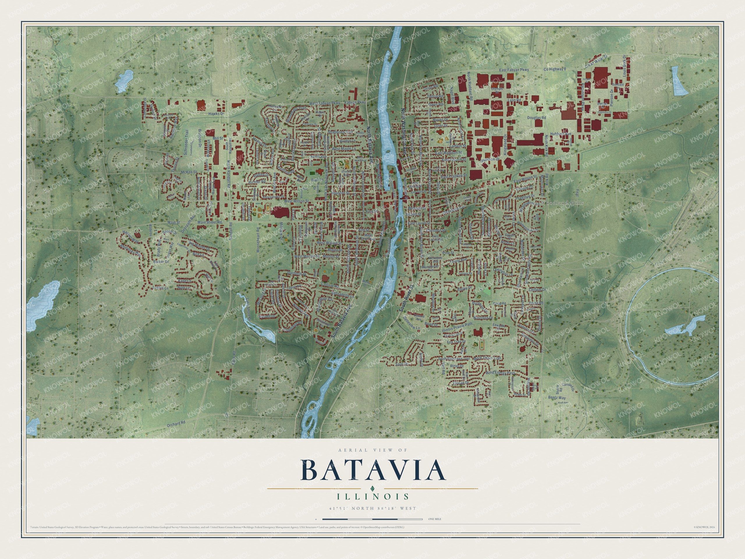
A new map of Batavia, Illinois, made in 2026 and printed to order on thick archival matte paper.
12" x 18" Archival Matte Print
A Map of Home. A Work of Art.
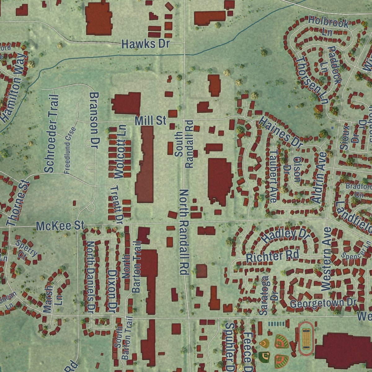
Explore Batavia, Illinois from a whole new perspective. Created using aerial imagery and detailed geographic data, this map captures Batavia building by building, with labeled streets, familiar landmarks, and shaded topographical relief that highlights the natural contours of the landscape.
Combining modern data with the timeless character of a vintage atlas, this map is just as interesting up close as it is beautiful on the wall. Whether you grew up in Batavia, spent memorable years there, or call it home today, this unique map is a great way to celebrate a place that means something to you. Zoom in on the preview to look for your street, and then order a print to put your memories on the wall.
Three ways to hang it
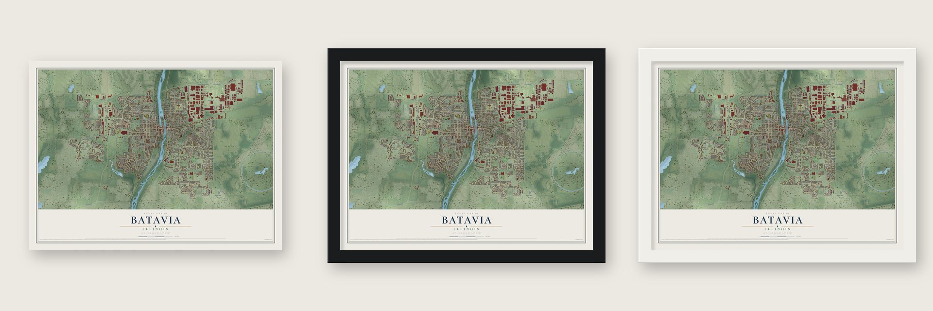
Unframed archival matte, a black wood frame or a white wood frame.
Up close
Geography Worth Displaying
This map was created using accurate cartographic data and authoritative geographic sources, including the U.S. Geological Survey and the Census Bureau. The map brings together terrain, waterways, roads, and building detail. The majority of the streets are labeled, houses are accurately depicted, and the topography is derived from government sources. Combining local data with carefully composed color and shading leads to this beautifully detailed Batavia artwork for your wall.
Rather than simply showing street outlines, we’ve included as many of the street names as we could reasonably fit on the map while keeping their names legible. Zoom in on the high resolution preview to see exactly what’s on the map. We truly set out to create a statement piece for anyone who loves Batavia. So whether it’s for you, or a gift for someone you love, we hope this map of Batavia brings back fond memories.
Read the story behind this map of Batavia, Illinois from 2026.

About Batavia, Illinois
Batavia stands on the Fox River, primarily in Kane County with a smaller portion in DuPage County. Settled in 1833 as Big Woods, it received its present name in 1840. The 2020 census recorded 26,098 residents, while the city's industrial past is reflected in surviving limestone factory buildings.
- Windmill CitySix American-style windmill manufacturers operated here in the late 19th century, giving Batavia its enduring nickname.
- Industrial HeritageBatavia produced Conestoga wagons, while paper bag manufacturing and nearby limestone quarries also figured in its earlier economy.
- Riverside PathsPaths for walking and bicycling extend along the Fox River.
- Science NearbyFermilab lies just east of the city limits, where the bottom and top quarks were first detected.
Find your street
Names on the Batavia map
Every name below is printed on this map. Look for your street, your school, the park where you played, or the pond down the road.
Places and landmarks1
- Woodland Hills
Streets and roads285
- North Batavia Avenue
- South Batavia Avenue
- South River Street
- North Washington Avenue
- Thorne Street
- West Wilson Street
- East Wilson Street
- Fabyan Parkway
- South Raddant Road
- Winnebago Trail
- Lusted Lane
- East Laurel Street
- Viking Drive
- Knox Lane
- Aldrin Avenue
- Mooseheart Road
- North Prairie Street
- South Van Buren Street
- North Jefferson Street
- North Park Street
- Averill Drive
- Hamilton Way
- Pitz Lane
- Main Street
- McKee Street
- Randall Road
- Kirk Road
- County Highway 8
- East Fabyan Parkway
- Millview Drive
Show all 285 streets
- Hart Road
- Wind Energy Pass
- Woodland Hills Road
- Pine Street
- Illinois Prairie Path
- Lathem Street
- Deerpath Road
- North Raddant Road
- Douglas Road
- Chillem Drive
- Main Street Road
- North Avenue
- South Jefferson Street
- First Street
- North Kirk Road
- Mill Street
- Western Avenue
- North Van Nortwick Avenue
- Branson Drive
- Farm Road
- North Randall Road
- Houston Street
- Kingsland Drive
- South Jackson Street
- Cleveland Avenue
- West Maple Lane
- North River Street
- Fox Trail Drive
- West Fabyan Parkway
- Morton Street
- West Morton Street
- North Van Buren Street
- Brandywine Circle
- East Madison Street
- Wagner Road
- Paramount Parkway
- East Church Street
- Hawks Drive
- Lake Shore Drive
- East Franklin Street
- Shabbona Trail
- Orion Road
- Kane Lane
- Hubbard Avenue
- Bird Lane
- West Walnut Street
- Violet Lane
- Blackhawk Drive
- Webster Street
- Sauk Drive
- Republic Road
- Norcross Drive
- Roberts Lane
- Schiedler Drive
- Alberosky Way
- Carriage Drive
- Pierson Drive
- Clean Water Drive
- Orchard Road
- Newton Avenue
- Challenge Road
- Ekman Drive
- Elm Street
- South Water Street
- South Forest Avenue
- Blaine Street
- Bernadette Lane
- Lexington Lane
- Ozier Drive
- Maves Drive
- North Lincoln Street
- North Water Street
- Meadowrue Lane
- Carlisle Road
- Danforth Drive
- Thoria Road
- Thorsen Lane
- Foxglove Drive
- Delia Street
- Larkspur Lane
- Richter Road
- Stewart Street
- Big Woods Drive
- McClurg Drive
- Hapner Way
- Bailey Drive
- Hunt Lane
- Fagan Road
- Burnham Lane
- Louis Bork Drive
- Geise Road
- Davis Road
- Nagel Boulevard
- Young Avenue
- Ellen Lane
- Mark Twain Trail
- Dixon Drive
- Hadley Drive
- Lund Lane
- Schroeder Trail
- Cherry Drive
- Halladay Drive
- Landfield Road
- Wolcott Lane
- Bentz Way
- Skyline Drive
- Mandrake Drive
- Appleton Drive
- Bluestem Lane
- Haines Drive
- Hill Lane
- Belleview Lane
- Brady Way
- Hodge Lane
- Chestnut Street
- Bond Drive
- Saupp Drive
- Swanson Drive
- Mayflower Drive
- Meadow Drive
- Harvell Drive
- Ritter Drive
- Trillium Court
- Feece Drive
- Spuhler Drive
- Pamarco Drive
- Barker Drive
- Bain Lane
- Blair Street
- Lyon Road
- Derby Drive
- Adams Street
- Fnal
- Pontiac Drive
- Sennett Street
- Robin Drive
- Suncast Lane
- North Van Nortwick Street
- South Ridgelawn Trail
- South Harrison Street
- South Randall Road
- Towne Avenue
- Twin Elms Lane
- Wintergreen Terrace
- East Spring Street
- North Forest Avenue
- Illinois Avenue
- Hamlet Street
- Giese Road
- West Union Avenue
- Davey Drive
- North Barton Trail
- Barkei Drive
- North Island Avenue
- Windsor Lane
- Manchester Avenue
- Taubert Avenue
- North Daniels Drive
- Sycamore Lane
- Von Hoff Drive
- Georgetown Drive
- Carlsted Drive
- Whipple Avenue
- Iroquois Drive
- South Mallory Avenue
- Oswald Avenue
- East Locust Street
- Trout Road
- Shumway Avenue
- Cambridge Drive
- Anderson Drive
- Joslyn Way
- Ward Road
- Evergreen Drive
- Cypress Avenue
- Paddock Lane
- Holbrook Lane
- Howe Street
- Stuttle Road
- Alexander Drive
- Olympic Drive
- Nordic Court
- Edwards Drive
- Sylvan Place
- Phelps Drive
- Furnas Drive
- Olson Drive
- Saratoga Drive
- Kickapoo Avenue
- Thrun Drive
- Trentt Drive
- Marsh Lane
- Wade Lane
- Merlo Drive
- Rule Street
- Viking Court
- Sioux Drive
- Swan Lane
- Aster Court
- Ann Street
- South Prairie Street
- Johnson Woods Drive
- East State Street
- Papermill Hill Drive
- North Harrison Street
- West North Avenue
- Limestone Drive
- Gillenwater Street
- Weirich Way
- Lockwood Lane
- South Barton Trail
- South Lincoln Street
- Prairie Street
- Gosselin Circle
- Parkview Drive
- Weaver Lane
- Willow Lane
- Tuggles Lane
- Ravinia Court
- Timber Trail
- Cottage Road
- Columbia Street
- Hunter Drive
- Mather Lane
- Pueblo Drive
- Center Avenue
- Sperry Court
- Brown Court
- Pine Court
- Bradford Circle
- West Midway Drive
- Green Pheasant Lane
- Kraft Avenue
- South College Street
- Hansford Avenue
- Spencer Lane
- Cottonwood Circle
- Freedlund Crse
- East Elizabeth Street
- Hillsboro Drive
- Hagemann Drive
- Beckman Lane
- Fayette Street
- Mann Lane
- Cardinal Court
- Robinson Way
- Lorlyn Circle
- Grove Court
- Goldenrod Drive
- Stiers Court
- Miller Court
- Judd Lane
- Schuler Drive
- Duncan Lane
- Birch Street
Names are listed as they appear on the printed map. Zoom into the product photos to find them.
The art of mapping a place
How This Map Was Made
Real places. Remarkable detail. Discover the layers that turn geographic data into a map of home.

The view from above
Aerial imagery reveals the character of the land: woodland, open fields, and the patterns of a place.

The shape of the land
Elevation data brings hills, valleys, and subtle changes in the landscape into view.

The details of home
Roads, waterways, and building footprints come together to make the map feel unmistakably local.

Geography becomes art
Considered color, shading, and typography bring the layers together in a map made for your wall.


Process illustrated with Mendon, Massachusetts. Aerial imagery: USDA NAIP. Terrain: USGS 3D Elevation Program. Map details and finished artwork: KNOWOL.
The Details
About This Print
Choose an archival matte print, or a black or white Ayous wood frame. The archival matte print is unframed.
Select your size and finish above to see the matching product image and price.
Materials & Craftsmanship
A contemporary map with the character of a classic atlas, printed on archival matte paper. Optional frames are made from Ayous wood.
Your printed map does not include the watermark shown in the full-map preview.
Shipping & Delivery
Free shipping within the United States. Every print is made to order in the USA.
Buying a gift? Add a note in your cart and we'll include it. We never put prices in the package.
Prints ship within 2 to 3 business days. Allow 7 to 10 days total from ordering for delivery. Timing may vary during holidays or periods of high order volume.
Read our shipping policy.
Returns and damaged prints
Each print is made to order. Change-of-mind refunds are not available after production.
If your print arrives damaged, misprinted or incorrect, contact support@knowol.com within 30 days of receiving it. Include your order number, photos and a description of the issue.
Read our full refund and replacement policy. For questions about your order, email support@knowol.com.
Find your town
Looking for another city?
Find a map of home in our Illinois collection, or any town in the country.
Nearby
Maps of towns near Batavia
Know someone from one of these towns? Their map makes a great gift.
 Geneva
, Illinois
From $39.99See the map
 North Aurora
, Illinois
From $39.99See the map
 St. Charles
, Illinois
From $39.99See the map
More maps nearby: West Chicago, Aurora, Warrenville, Prestbury and Wayne.