
Search for another town

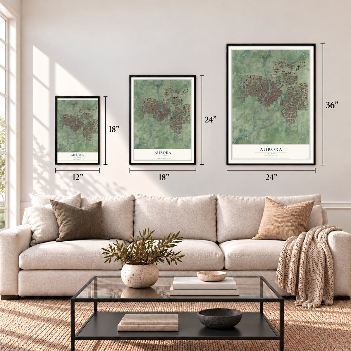
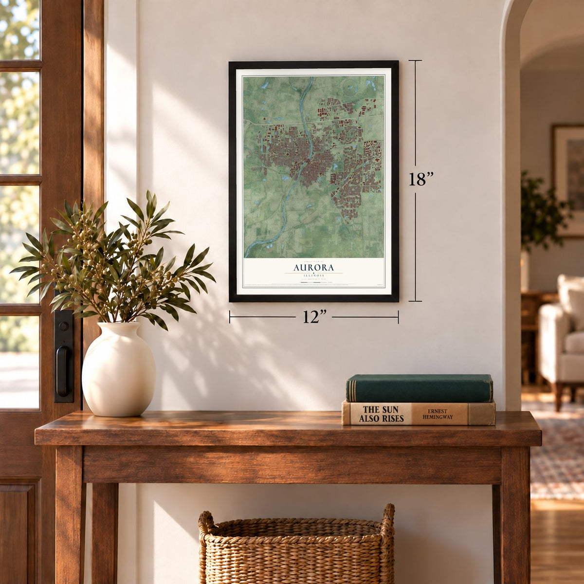
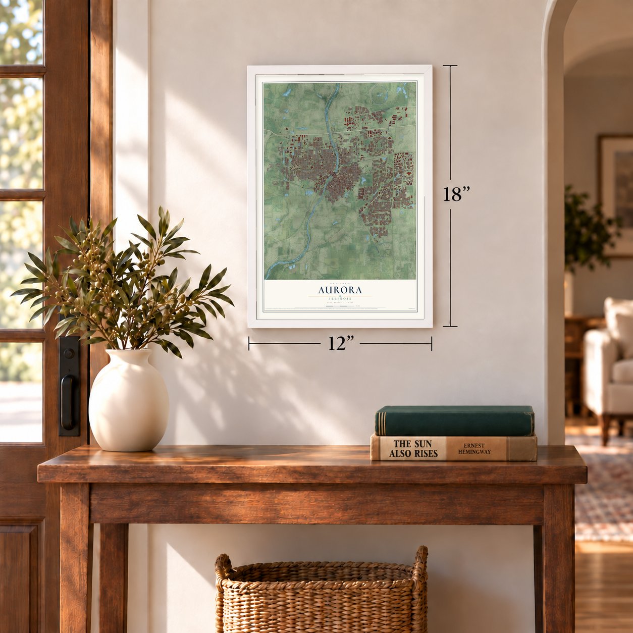

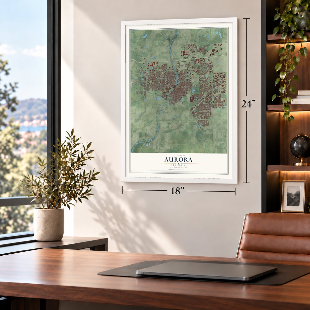


Free U.S. delivery 7 to 10 days after you order
Aurora, Illinois Map Art
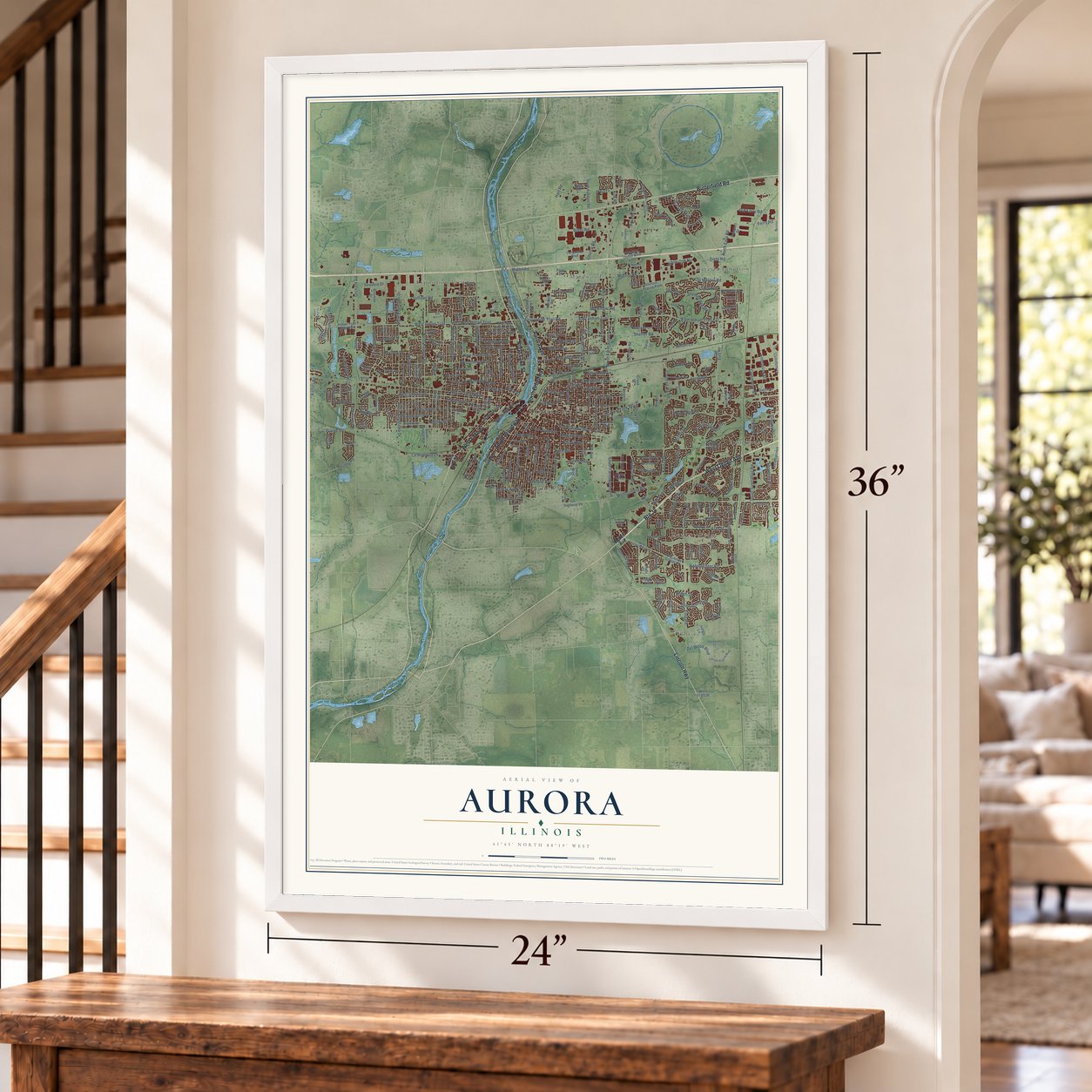
A new map of Aurora, Illinois, made in 2026 and printed to order on thick archival matte paper.
12" x 18" Archival Matte Print
A Map of Home. A Work of Art.
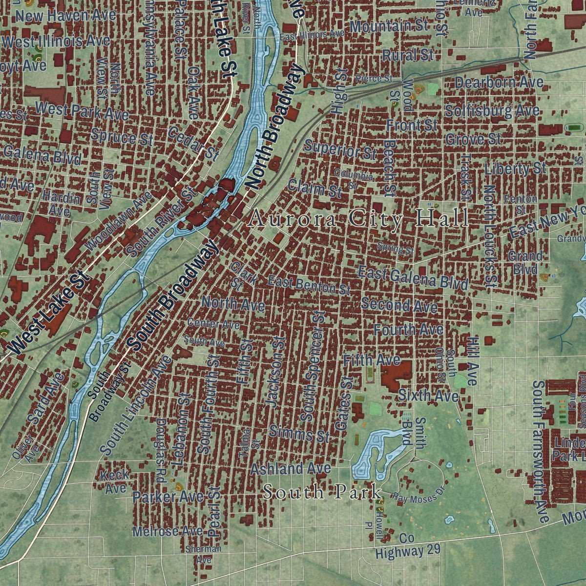
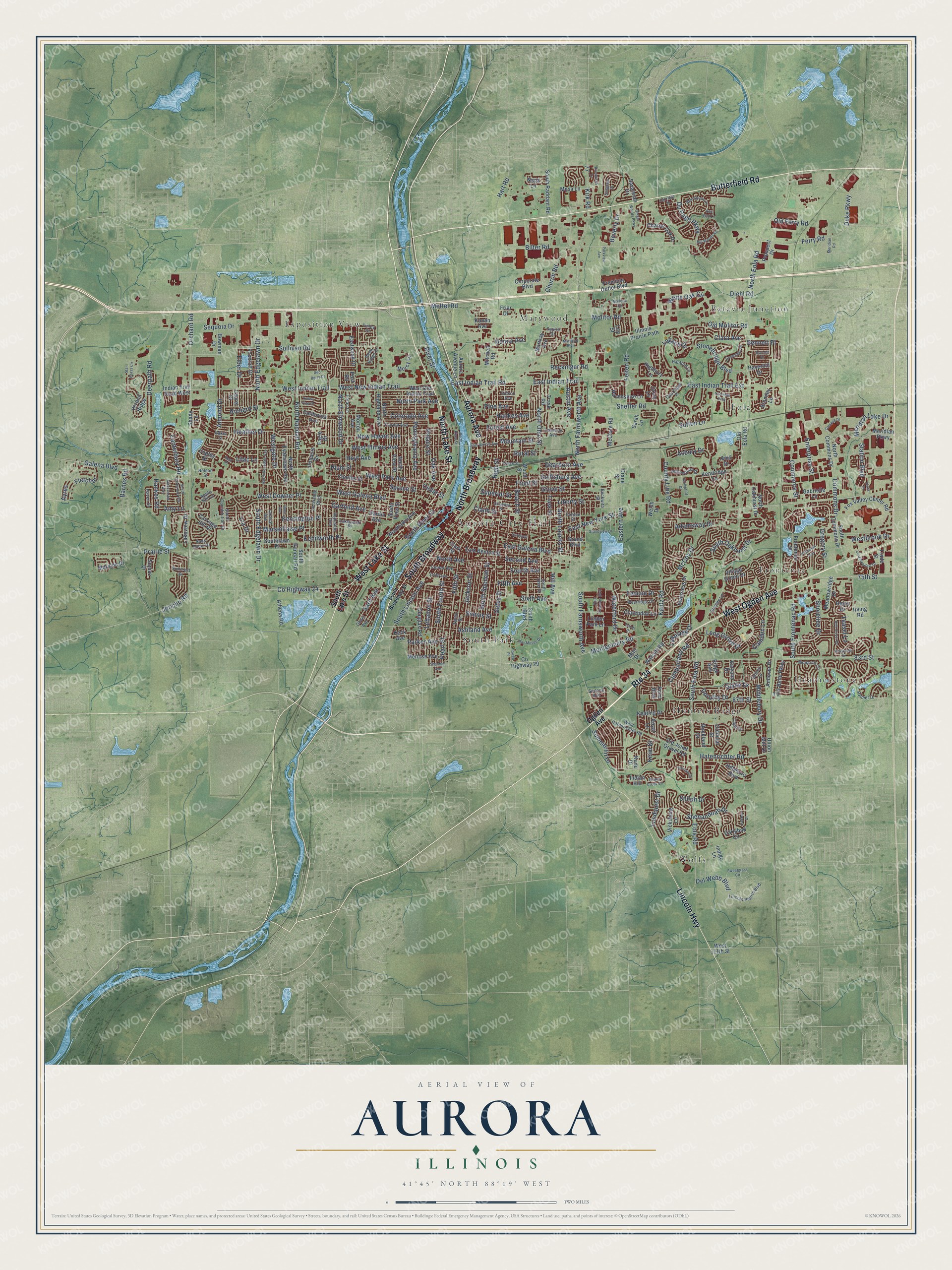
Explore Aurora, Illinois from a whole new perspective. Created using aerial imagery and detailed geographic data, this map captures Aurora building by building, with labeled streets, familiar landmarks, and shaded topographical relief that highlights the natural contours of the landscape.
Combining modern data with the timeless character of a vintage atlas, this map is just as interesting up close as it is beautiful on the wall. Whether you grew up in Aurora, spent memorable years there, or call it home today, this unique map is a great way to celebrate a place that means something to you. Zoom in on the preview to look for your street, and then order a print to put your memories on the wall.
Three ways to hang it
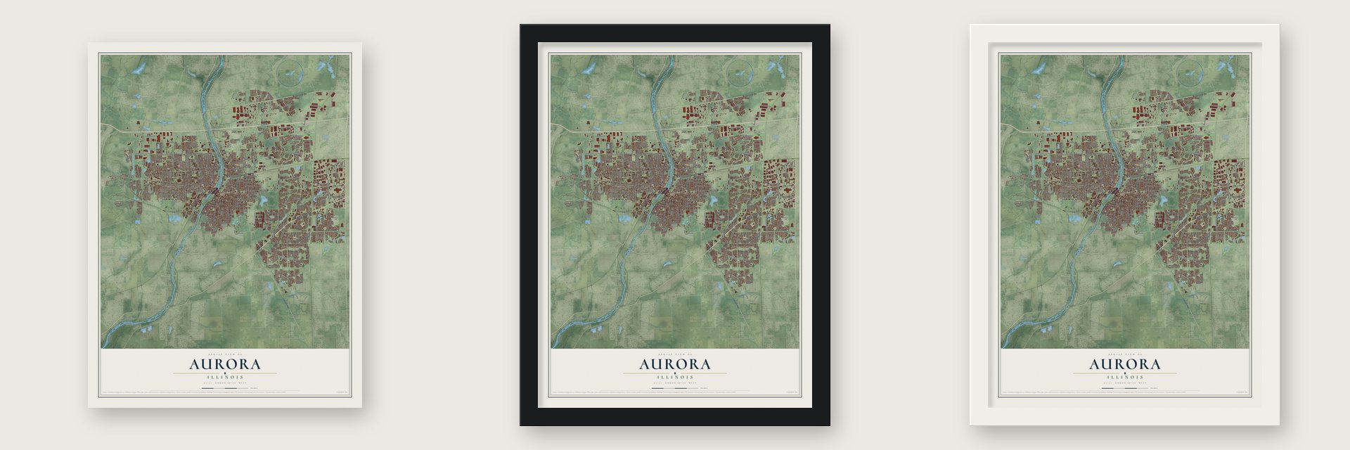
Unframed archival matte, a black wood frame or a white wood frame.
Up close
Geography Worth Displaying
This map was created using accurate cartographic data and authoritative geographic sources, including the U.S. Geological Survey and the Census Bureau. The map brings together terrain, waterways, roads, and building detail. The majority of the streets are labeled, houses are accurately depicted, and the topography is derived from government sources. Combining local data with carefully composed color and shading leads to this beautifully detailed Aurora artwork for your wall.
Rather than simply showing street outlines, we’ve included as many of the street names as we could reasonably fit on the map while keeping their names legible. Zoom in on the high resolution preview to see exactly what’s on the map. We truly set out to create a statement piece for anyone who loves Aurora. So whether it’s for you, or a gift for someone you love, we hope this map of Aurora brings back fond memories.
Read the story behind this map of Aurora, Illinois from 2026.

About Aurora, Illinois
Aurora stands along the Fox River in northeastern Illinois, with city limits extending through Kane, DuPage, Kendall, and Will counties. The 2020 census recorded 180,542 residents. Formed from communities on opposite banks, the city developed around mills, railroads, manufacturing, and a downtown centered on Stolp Island.
- Two Villages UnitedEast Aurora and West Aurora joined in 1857 to incorporate as the city of Aurora.
- City of LightsAurora adopted the nickname "City of Lights" in 1908, recalling its pioneering all-electric street lighting system of 1881.
- Railroad CenterThe Chicago, Burlington and Quincy Railroad made Aurora its headquarters and remained the city's largest employer until the 1960s.
- Stolp IslandWhen east and west representatives disputed where to place public buildings, many were built on or near Stolp Island.
Find your street
Names on the Aurora map
Every name below is printed on this map. Look for your street, your school, the park where you played, or the pond down the road.
Places and landmarks10
- Aurora City Hall
- Batavia Junction
- Eola
- Exposition View
- Frontenac
- Heatherstone
- Hunters Ridge
- Marywood
- South Park
- Wolfs
Streets and roads347
- Butterfield Road
- Route 34
- South Broadway
- North Lake Street
- North Broadway
- West Lake Street
- West Ogden Avenue
- Lincoln Highway
- Aurora Avenue
- East New York Street
- Montgomery Road
- Kautz Road
- 87th Street
- Station Boulevard
- West Indian Trail
- Hill Avenue
- Diehl Road
- South River Street
- County Highway 24
- Westgate Drive
- Bilter Road
- Jericho Road
- South Edgelawn Drive
- Liberty Street
- North Eola Road
- West Galena Boulevard
- Sullivan Road
- Prairie Street
- North Farnsworth Avenue
- Orchard Road
Show all 347 streets
- West Illinois Avenue
- McCoy Drive
- Eola Road
- West Downer Place
- Church Road
- 83rd Street
- Stonebridge Boulevard
- Commons Drive
- East Indian Trail
- East Galena Boulevard
- West New Indian Trail
- Garfield Avenue
- South Eola Road
- Plum Street
- Fifth Avenue
- South Frontenac Road
- North Randall Road
- Middlebury Drive
- Kensington Place
- North Ohio Street
- Sheffer Road
- Asbury Drive
- North Edgelawn Drive
- North Avenue
- South Fourth Street
- North Elmwood Drive
- Colorado Avenue
- Grove Street
- Molitor Road
- Deerpath Road
- South Lincoln Avenue
- High Street
- Lundquist Drive
- Sequoia Drive
- Simms Street
- 75th Street
- Superior Street
- South Farnsworth Avenue
- Spruce Street
- Ashland Avenue
- East Indian Trail Road
- Fifth Street
- Jackson Street
- Long Grove Drive
- Hafenrichter Road
- Waterford Drive
- Parker Avenue
- South Spencer Street
- Second Avenue
- Kenilworth Place
- Barnes Road
- West Park Avenue
- Shenandoah Drive
- Gregory Street
- Pennsylvania Avenue
- Front Street
- Shoreline Drive
- Cumberland Road
- North Loucks Street
- Palace Street
- Ferry Road
- Oak Avenue
- Marseillaise Place
- East Indian Trail Extension
- Reckinger Road
- Hankes Road
- Fourth Avenue
- New Haven Avenue
- Fletcher
- Felten Road
- Claim Street
- Sixth Avenue
- Mountain Street
- South Oakhurst Drive
- Austin Avenue
- Summerlin Drive
- White Oak Circle
- Solfisburg Avenue
- Sutton Lane
- Shiloh Drive
- Rural Street
- Bennett Place
- Canterbury Road
- Pearl Street
- Dorothy Drive
- Heather Drive
- Teasel Lane
- Galena Boulevard
- Du Page Parkway
- Enterprise Street
- Commerce Street
- Legacy Drive
- Old Molitor Road
- Hoyt Avenue
- Gates Street
- Hankes Avenue
- Meridian Lake Drive
- North Park Avenue
- Lakeside Drive
- Lebanon Street
- Richard Street
- Duke Parkway
- Kirk Road
- Del Webb Boulevard
- Almond Drive
- Forest Avenue
- Clara Avenue
- Ayres
- Fescue Drive
- Westbrook Drive
- Hart Road
- Mettel Road
- County Line Road
- Camden Lane
- Dearborn Avenue
- Adamsway Drive
- Beverly Drive
- Cedar Street
- Sard Avenue
- Diane Drive
- Lilac Lane
- Old Ferry Road
- Beach Street
- Eastern Avenue
- Donna Avenue
- Pine Avenue
- Elder Drive
- Amy Lane
- Lra Drive
- River Street
- Keim Drive
- Ogden Avenue
- South Lake Street
- Meridian Parkway
- Indian Trail Road West
- North Highland Avenue
- South Commons Drive
- East Benton Street
- Trask Road
- Village Green Drive
- Fox Valley Center Road
- Frontenac Street
- Old Joliet Gravel Road
- Clarendon Lane
- West Old Indian Trail
- Mitchell Road
- North Commons Drive
- California Avenue
- Savannah Drive
- Eastwood Drive
- Premium Outlet Boulevard
- Woodlawn Avenue
- Corporate Boulevard
- Morton Avenue
- Ridge Avenue
- South Randall Road
- North View Street
- Meadowridge Drive
- Trask Street
- McClure Road
- Charles Street
- Wood Street
- County Highway 29
- Inverness Drive
- Laurel Drive
- Carlsbad Circle
- Gabrielle Lane
- Hardin Avenue
- Mercy Lane
- Bromley Lane
- Foxcroft Drive
- Douglas Road
- North Oakhurst Drive
- Melrose Avenue
- North Evanslawn Avenue
- South Raddant Road
- Kendridge Lane
- Havenshire Lane
- Aurora Avenue Lane
- Clark Street
- Amli Drive
- Grand Boulevard
- Mesa Lane
- Hillsboro Boulevard
- Moraine Drive
- Old Eola Road
- Smith Boulevard
- Vicksburg Lane
- Tara Belle Parkway
- Charter Oak Drive
- Southlawn Place
- Keating Drive
- Andover Drive
- Walcott Road
- Highbury Lane
- Prospect Drive
- Illinois Prairie Path
- Indigo Lane
- Lakeview Drive
- Point Boulevard
- Colonial Street
- Carriage Hill Drive
- Sumac Drive
- Shady Lane
- Bowman Drive
- Athena Road
- West 111th Street
- Napa Lane
- Verona Ridge
- Linden Park Lane
- Trade Street
- Rockland Drive
- Mair Drive
- Marikay Avenue
- South View Street
- Sarah Lane
- Union Mill Drive
- Valyana Drive
- Royal Lane
- Haverhill Drive
- Heinz Drive
- Iroquois Drive
- Konen Avenue
- Keck Avenue
- Eagle Drive
- Indian Hill
- Crane Street
- Copley Street
- Lily Street
- Irving Road
- Drury Lane
- Kudu Drive
- Welsh Drive
- Friar Drive
- Post Road
- Lincoln Prairie Boulevard
- West Hafenrichter Road
- Westridge Drive
- Talma Street
- Foran Lane
- Monarch Circle
- Central Avenue
- Shelley Lane
- South Constitution Drive
- Le Grande Boulevard
- Lehnertz Avenue
- Fenton Street
- South Ohio Street
- Florida Avenue
- Ingleside Avenue
- Center Avenue
- Oliver Avenue
- Reflections Drive
- Palmer Drive
- Suncrest Drive
- Quincy Lane
- Raven Drive
- Sans Souci Drive
- Beckwith Street
- Hanford Lane
- Edison Avenue
- Beau Ridge Drive
- Lakewood Place
- Capri Drive
- Courtland Place
- Sedona Avenue
- Squire Drive
- Nelson Street
- Tinley Drive
- Apple Hill Lane
- Baker Street
- South Broadway Street
- Blue Spruce Lane
- Longmeadow Drive
- Four Seasons Boulevard
- Ray Moses Drive
- Spring Street
- Amaranth Drive
- Buell Avenue
- Princeton Avenue
- Pierce Street
- Star Grass Circle
- North River Street
- Howell Place
- Oakridge Drive
- Sunrise Circle
- Wilson Creek Circle
- Red Clover Drive
- Grandview Drive
- Ginger Woods Parkway
- Columbia Street
- Greenlake Drive
- South Avenue
- North Rosedale Avenue
- South Canterbury Road
- Sweetgrass Circle
- Best Place
- Red Berry Cr
- Manchester Way
- Sawgrass Drive
- Wolverine Drive
- East Illinois Avenue
- Burnett Drive
- Big Woods Road
- Campus Drive
- Riverbirch Drive
- Sherman Avenue
- Parkview Avenue
- Plaza Place
- Lahinch Drive
- Mallette Road
- Meridian Road
- Marshall Boulevard
- Hamman Way
- Red Bud Lane
- Yellow Pine Drive
- Randi Drive
Names are listed as they appear on the printed map. Zoom into the product photos to find them.
The art of mapping a place
How This Map Was Made
Real places. Remarkable detail. Discover the layers that turn geographic data into a map of home.

The view from above
Aerial imagery reveals the character of the land: woodland, open fields, and the patterns of a place.

The shape of the land
Elevation data brings hills, valleys, and subtle changes in the landscape into view.

The details of home
Roads, waterways, and building footprints come together to make the map feel unmistakably local.

Geography becomes art
Considered color, shading, and typography bring the layers together in a map made for your wall.


Process illustrated with Mendon, Massachusetts. Aerial imagery: USDA NAIP. Terrain: USGS 3D Elevation Program. Map details and finished artwork: KNOWOL.
The Details
About This Print
Choose an archival matte print, or a black or white Ayous wood frame. The archival matte print is unframed.
Select your size and finish above to see the matching product image and price.
Materials & Craftsmanship
A contemporary map with the character of a classic atlas, printed on archival matte paper. Optional frames are made from Ayous wood.
Your printed map does not include the watermark shown in the full-map preview.
Shipping & Delivery
Free shipping within the United States. Every print is made to order in the USA.
Buying a gift? Add a note in your cart and we'll include it. We never put prices in the package.
Prints ship within 2 to 3 business days. Allow 7 to 10 days total from ordering for delivery. Timing may vary during holidays or periods of high order volume.
Read our shipping policy.
Returns and damaged prints
Each print is made to order. Change-of-mind refunds are not available after production.
If your print arrives damaged, misprinted or incorrect, contact support@knowol.com within 30 days of receiving it. Include your order number, photos and a description of the issue.
Read our full refund and replacement policy. For questions about your order, email support@knowol.com.
Find your town
Looking for another city?
Find a map of home in our Illinois collection, or any town in the country.
Nearby
Maps of towns near Aurora
Know someone from one of these towns? Their map makes a great gift.
 North Aurora
, Illinois
From $39.99See the map
 Boulder Hill
, Illinois
From $39.99See the map
 Montgomery
, Illinois
From $39.99See the map
More maps nearby: Batavia, Oswego, Warrenville, Naperville and Prestbury.