
Search for another town



Free U.S. delivery 7 to 10 days after you order
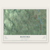
Bedford, New Hampshire Map Art
Building by building, with labeled streets and shaded relief.
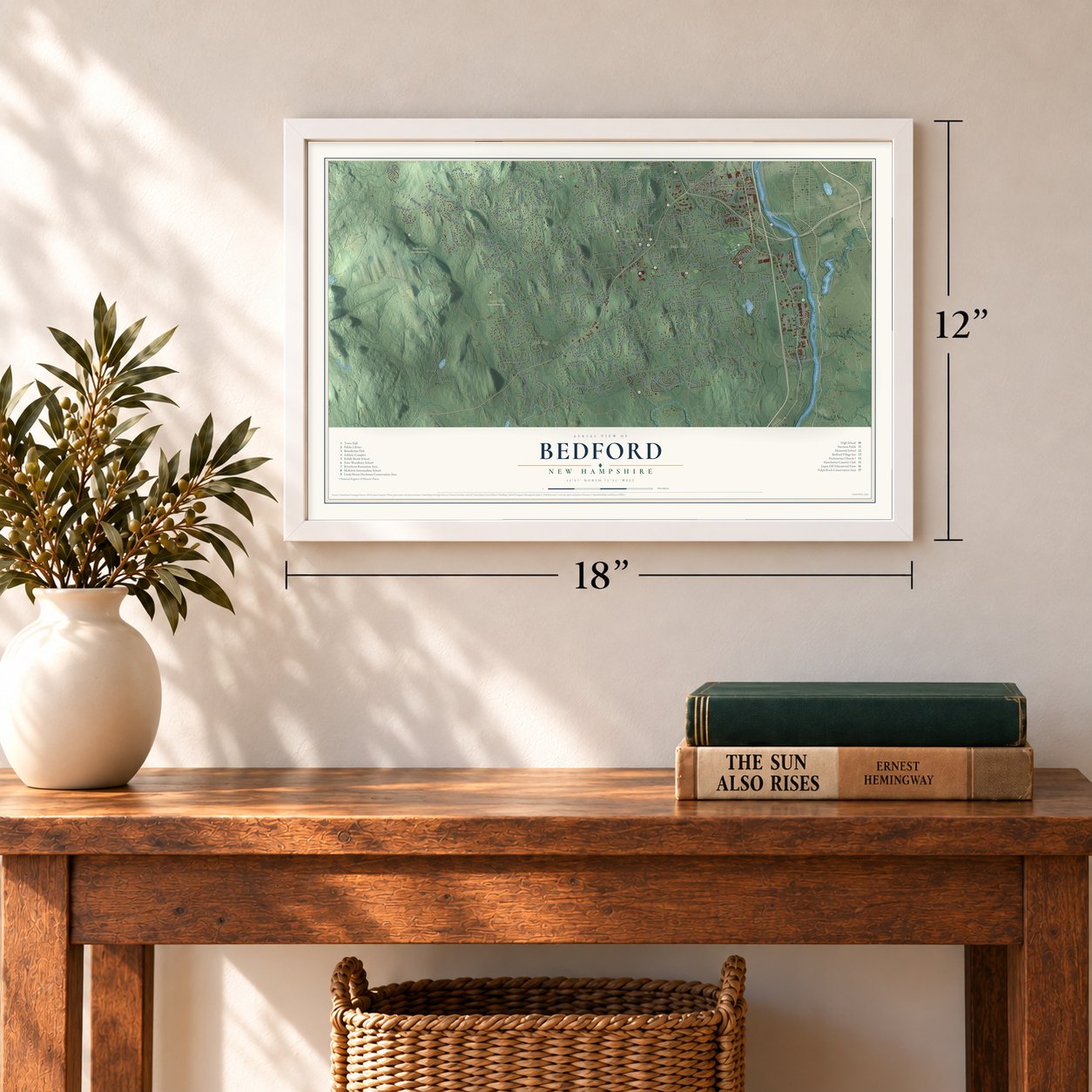
12" x 18" Archival Matte Print
A Map of Home. A Work of Art.
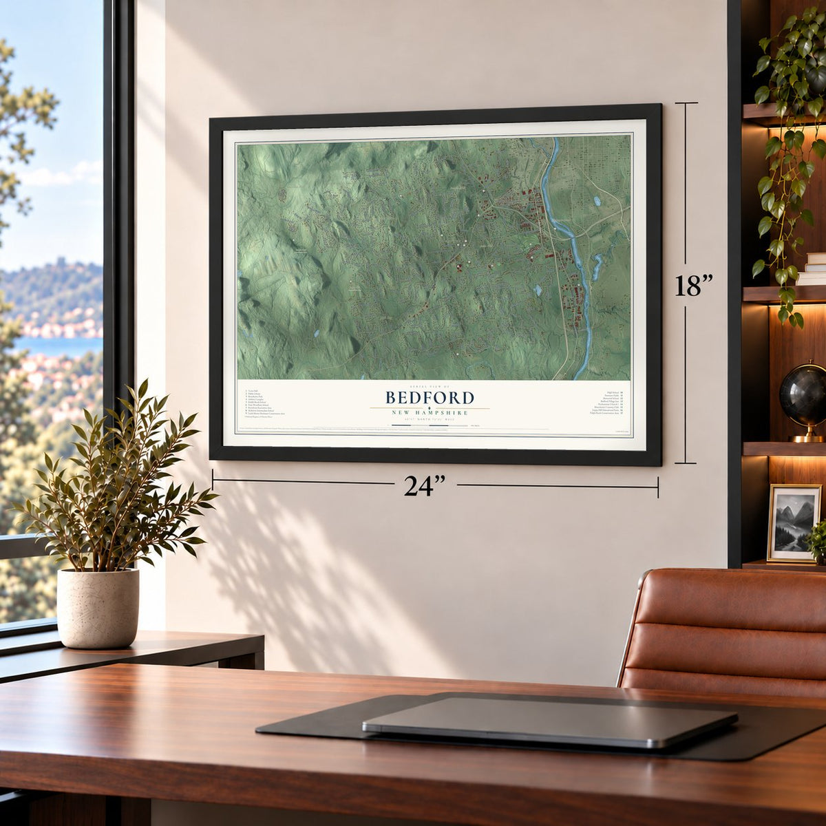
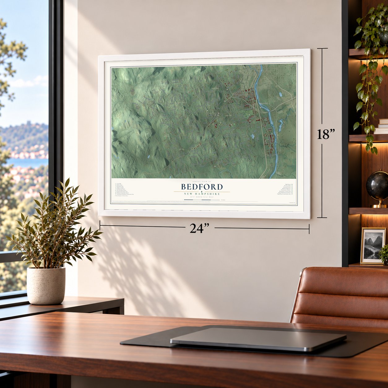
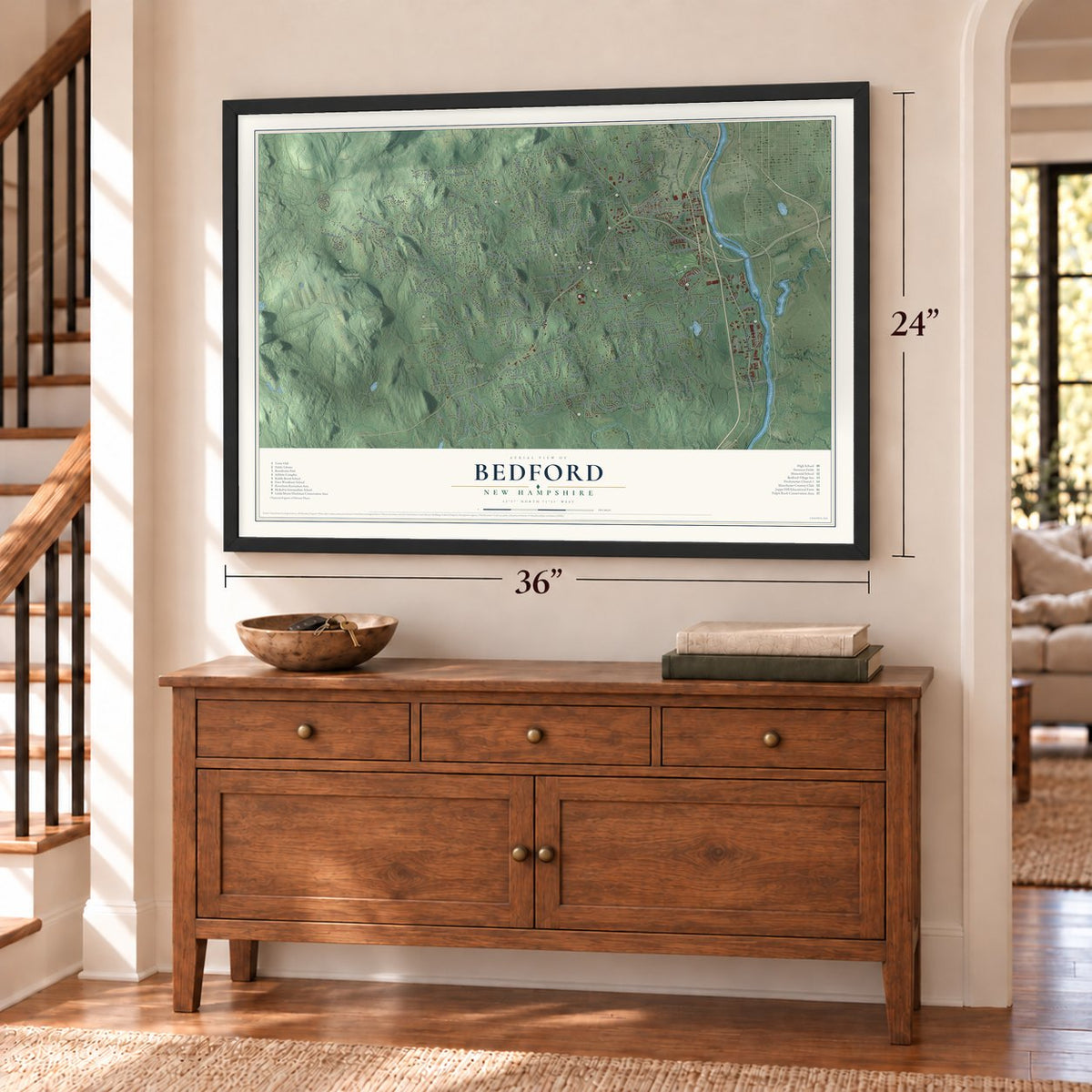
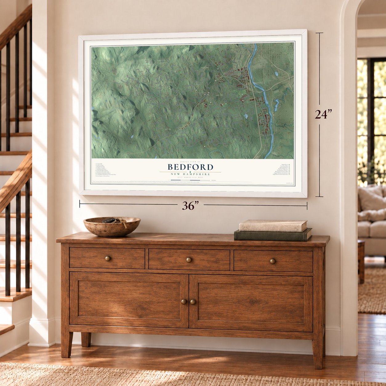
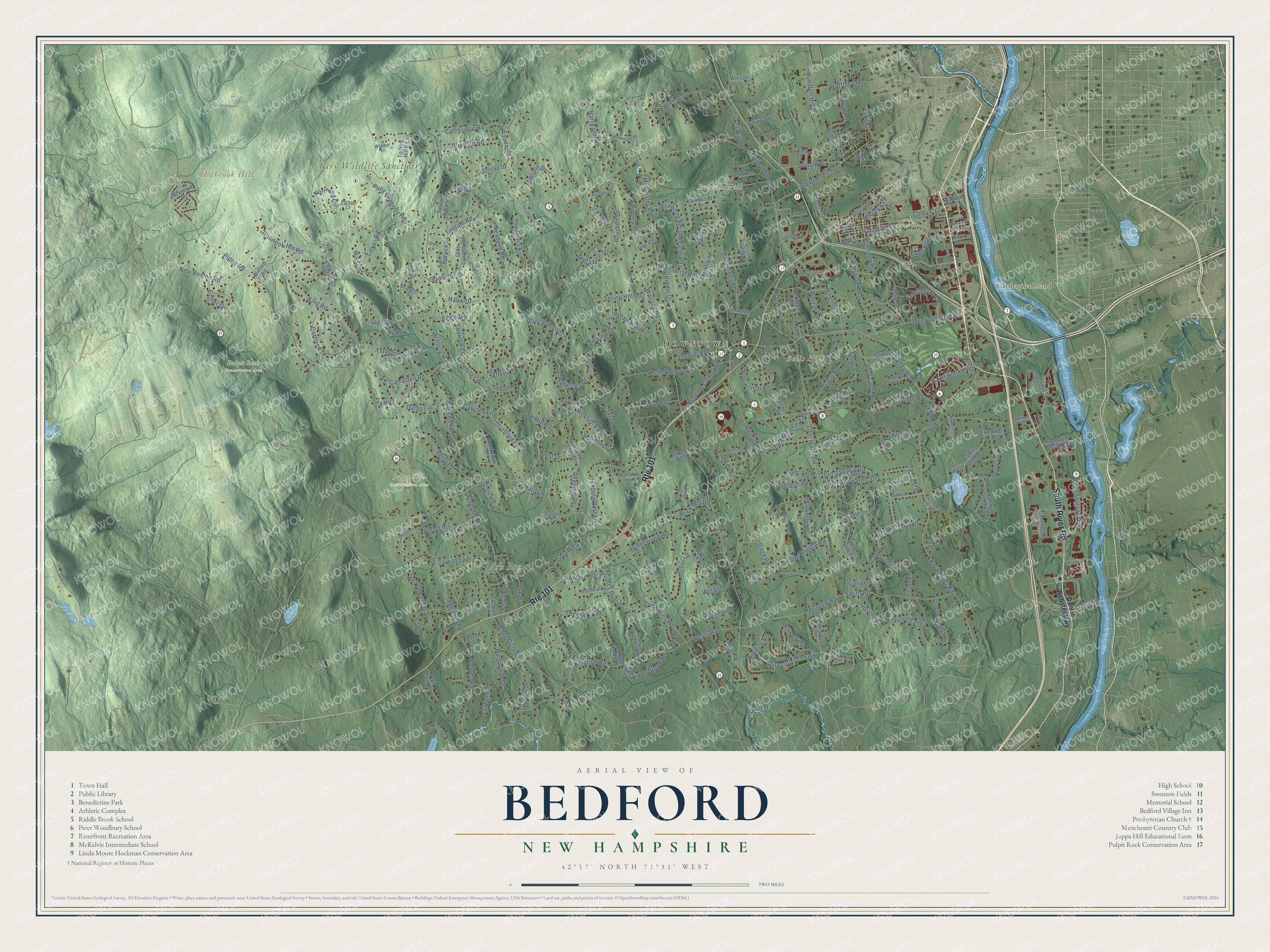
Explore Bedford, New Hampshire from a whole new perspective. Created using aerial imagery and detailed geographic data, this map captures Bedford building by building, with labeled streets, familiar landmarks, and shaded topographical relief that highlights the natural contours of the landscape.
Combining modern data with the timeless character of a vintage atlas, this map is just as interesting up close as it is beautiful on the wall. Whether you grew up in Bedford, spent memorable years there, or call it home today, this unique map is a great way to celebrate a place that means something to you. Zoom in on the preview to look for your street, and then order a print to put your memories on the wall.
Three ways to hang it
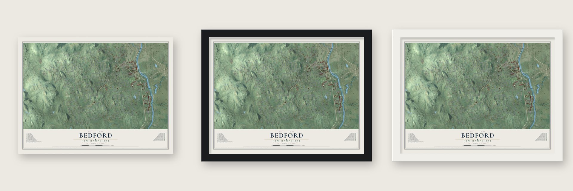
Unframed archival matte, a black wood frame or a white wood frame.
Up close
Geography Worth Displaying
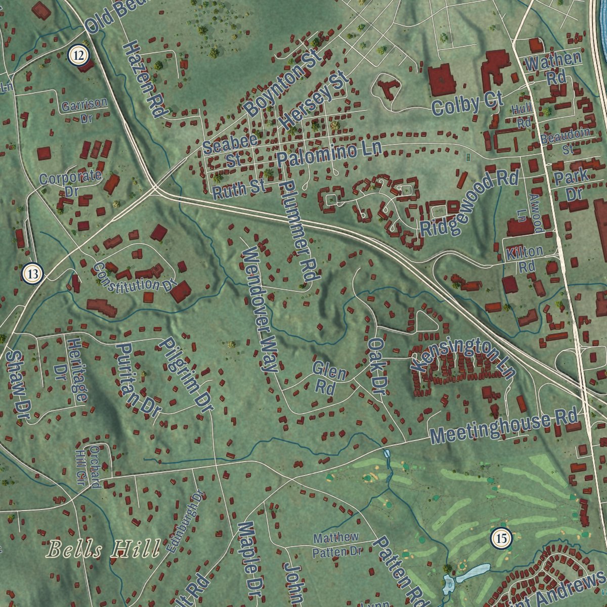
This map was created using accurate cartographic data and authoritative geographic sources, including the U.S. Geological Survey (USGS) and FEMA. The map brings together terrain, waterways, roads, and building detail. The majority of the streets are labeled, houses are accurately depicted, and the topography is derived from government sources. Combining local data with carefully composed color and shading leads to this beautifully detailed Bedford artwork for your wall.
Rather than simply showing street outlines, we’ve included as many of the street names as we could reasonably fit on the map while keeping their names legible. Zoom in on the high resolution preview to see exactly what’s on the map. We truly set out to create a statement piece for anyone who loves Bedford. So whether it’s for you, or a gift for someone you love, we hope this map of Bedford brings back fond memories.
Explore the full map of Bedford, New Hampshire and read about the local places it shows.
Find your street
Names on the Bedford map
Every name below is printed on this map. Look for your street, your school, the park where you played, or the pond down the road.
Places and landmarks10
- Downtown
- Beards Hill
- Bells Hill
- Carthagina Island
- Holbrook Hill
- Tarr Wildlife Sanctuary
- Ash Bog
- Transfer Station 2
- Joppa Hill Conservation Area
- Pulpit Rock Conservation Area
Streets and roads261
- South River Road
- Route 101
- Meetinghouse Road
- Beals Road
- King Road
- Colby Court
- Old Bedford Road
- Meadow Road
- New Boston Road
- Wallace Road
- Joppa Hill Road
- North Amherst Road
- Liberty Hill Road
- Back River Road
- Pulpit Road
- County Road
- Campbell Road
- Nashua Road
- McAllister Road
- Hitching Post Lane
- Jenkins Road
- Greenfield Parkway
- Bedford Center Road
- Federation Road
- Federation Drive
- Cambridge Road
- Ministerial Road
- Gage Girls Road
- Birkdale Road
- Camelot Drive
Show all 261 streets
- Hardy Road
- Meadowcrest Drive
- McIntosh Lane
- Hawk Drive
- Smith Road
- Winding Road
- Gage Road
- Palomino Lane
- Perry Road
- Forest Drive
- Brick Mill Road
- Stowell Road
- Quincy Drive
- Donald Street
- Rosewell Road
- Riddle Drive
- Rundlett Hill Road
- Rolling Woods Drive
- Eagle Drive
- Gault Road
- Technology Drive
- Tirrell Road
- Cortland Drive
- Buttonwood Road
- Cider Mill Road
- Oriole Drive
- Boynton Street
- Wentworth Drive
- Pilgrim Drive
- Catesby Lane
- Wendover Way
- Ridgewood Road
- Patten Road
- Horizon Drive
- Pasture Lane
- Arbor Lane
- Plummer Road
- Newfane Road
- Old Farm Road
- Suzanne Drive
- Essex Road
- Barr Farm Road
- Blanford Place
- Tirrell Hill Road
- Settlers Court
- Carriage Lane
- John Goffe Drive
- Grafton Drive
- Kensington Lane
- Nathan Cutler Drive
- Normand Circle
- Hazen Road
- Magazine Street
- Olde English Road
- Elk Drive
- Highland Farms Drive
- Polly Peabody Road
- Veronica Drive
- Saint Andrews Drive
- Oak Drive
- Grey Rock Road
- Old Sawmill Road
- Beaver Lane
- Maple Drive
- McQuade Brook Road
- Holbrook Hill Road
- Seton Drive
- Holbrook Road
- Tumble Road
- Lindahl Road
- Church Road
- Ellison Drive
- Worthley Road
- Wellesley Drive
- Mulberry Lane
- Spring Hill Road
- Golden Drive
- Briar Road
- Darby Lane
- New Merrimack Road
- Wiggin Road
- Harvard Lane
- Greeley Hill Road
- Ledgewood Road
- White Avenue
- Strafford Lane
- Boxwood Road
- Shaw Drive
- Juniper Drive
- Fairlane Drive
- Spruce Street
- Westview Road
- Marston Drive
- Clifton Road
- Esther Drive
- Puritan Drive
- Old Mill Road
- Random Road
- Regency Drive
- Sparrow Lane
- Nancy Lane
- Bourbon Street
- Caron Road
- West Drive
- Hunters Road
- Tinker Road
- Savoie Street
- Scott Road
- Fox Run
- Hersey Street
- Lilac Court
- Pine Drive
- Daniel Webster Highway
- Hawthorne Drive
- Powder Hill Road
- Barrington Drive
- Sandy Pond Parkway
- South Hills Drive
- Sebbins Pond Drive
- Olde Lantern Road
- Greenmeadow Lane
- Pinecrest Drive
- Ministerial Branch
- Dunlap Drive
- McAfee Farm Road
- Barnside Drive
- Pembroke Way
- Birchwood Circle
- Commerce Drive
- Constance Street
- Seabee Street
- Glen Road
- Woburn Abbey Drive
- Kahliko Lane
- Mill Stone Terrace
- Arrow Head Drive
- Harrod Lane
- Twin Brook Lane
- Cricket Hill Road
- Moores Crossing Road
- Hancock Drive
- Crimson Glory Lane
- Bartlett Drive
- Tavistock Drive
- Whisper Drive
- Brookview Terrace
- Curtis Lane
- Braeburn Court
- Kennedy Drive
- Tolford Hill Road
- Mountain Road
- Ruth Street
- Wildwood Drive
- Heritage Drive
- Cherry Lane
- Cote Lane
- Tiffany Lane
- County Road West
- Walsch Road
- Tuttle Road
- Wathen Road
- Heather Drive
- Park Drive
- Beech Street
- Lark Lane
- Dery Street
- Colonel Daniels Drive
- Constitution Drive
- Strawberry Hill Road
- Pondfield Road
- Christmas Tree Circle
- Weymouth Drive
- Chesterfield Place
- Wright Acres Road
- Sandstone Drive
- Timberlane Drive
- Butterfield Lane
- Sonoma Drive
- Laurel Drive
- Bell Hill Road
- Reverend Houston Drive
- Karolina Lane
- Grant Drive
- Corporate Drive
- Kilton Road
- Bixby Farm Lane
- Chandler Road
- Royal Street
- Lynn Drive
- Freedom Way
- Metea Lane
- Camp Allen Road
- Parker Lane
- Webber Lane
- Cobtail Way
- Baileys Green
- Sunset Lane
- Dalton Road
- Amber Lane
- Raymond Wieczorek Drive
- Whippoorwill Lane
- Hearthside Circle
- Edinburgh Drive
- Pheasant Run
- Bracken Circle
- Garrison Drive
- Lancaster Lane
- Southgate Drive
- French Drive
- Orchard Hill Circle
- Matthew Patten Drive
- Galloway Lane
- Middleton Drive
- Colleny Drive
- Jefferson Road
- Steeple View Lane
- Northgate Drive
- Atwood Lane
- Stephanie Drive
- Maiden Lane
- Chestnut Drive
- Rice Lane
- Iron Horse Drive
- Canary Lane
- Proctor Road
- Back River Terrace
- Beaudoin Street
- Dublin Court
- Lodge Avenue
- Cajun Court
- Hull Road
Names are listed as they appear on the printed map. Zoom into the product photos to find them.
About Bedford, New Hampshire
Bedford is a New Hampshire community in Hillsborough County, where the 2020 census counted 23,322 residents. The town extends across 33.1 square miles.
- 23,322 residentsCounted in the 2020 census.
- Hillsborough CountyBedford is one of the New Hampshire communities located in Hillsborough County.
- 33.1 square milesThe Census Bureau gives this as Bedford's total area.
- Incorporated in 1750The town was incorporated in 1750.
- Holbrook HillThe town's highest point reaches 845 feet above sea level.
Keep exploring New Hampshire
Bedford is one of 276 New Hampshire towns we've mapped. Every dot on the map is a print of its own.
The search covers every state, New Hampshire first.
Near Bedford
Order 2 or more town maps and save 10%. Shown in the size and finish you picked above, so they hang as a set.
- Pinardville 12" x 18" / Archival Matte Print $39.99
- East Merrimack 12" x 18" / Archival Matte Print $39.99
- Amherst 12" x 18" / Archival Matte Print $39.99


More maps nearby: Klondike Corner, Manchester, Merrimack, Goffstown and North Londonderry.
The art of mapping a place
How This Map Was Made
Real places. Remarkable detail. Discover the layers that turn geographic data into a map of home.

The view from above
Aerial imagery reveals the character of the land: woodland, open fields, and the patterns of a place.

The shape of the land
Elevation data brings hills, valleys, and subtle changes in the landscape into view.

The details of home
Roads, waterways, and building footprints come together to make the map feel unmistakably local.

Geography becomes art
Considered color, shading, and typography bring the layers together in a map made for your wall.


Process illustrated with Mendon, Massachusetts. Aerial imagery: USDA NAIP. Terrain: USGS 3D Elevation Program. Map details and finished artwork: KNOWOL.
The Details
About This Print
Choose an archival matte print, or a black or white Ayous wood frame. The archival matte print is unframed.
Select your size and finish above to see the matching product image and price.
Materials & Craftsmanship
A contemporary map with the character of a classic atlas, printed on archival matte paper. Optional frames are made from Ayous wood.
Your printed map does not include the watermark shown in the full-map preview.
Shipping & Delivery
Free shipping within the United States. Every print is made to order in the USA.
Buying a gift? Add a note in your cart and we'll include it. We never put prices in the package.
Prints ship within 2 to 3 business days. Allow 7 to 10 days total from ordering for delivery. Timing may vary during holidays or periods of high order volume.
Read our shipping policy.
Returns and damaged prints
Each print is made to order. Change-of-mind refunds are not available after production.
If your print arrives damaged, misprinted or incorrect, contact support@knowol.com within 30 days of receiving it. Include your order number, photos and a description of the issue.
Read our full refund and replacement policy. For questions about your order, email support@knowol.com.