
Search for another town



Free U.S. delivery 7 to 10 days after you order
Bellevue, Kentucky Map Art
Building by building, with labeled streets and shaded relief.
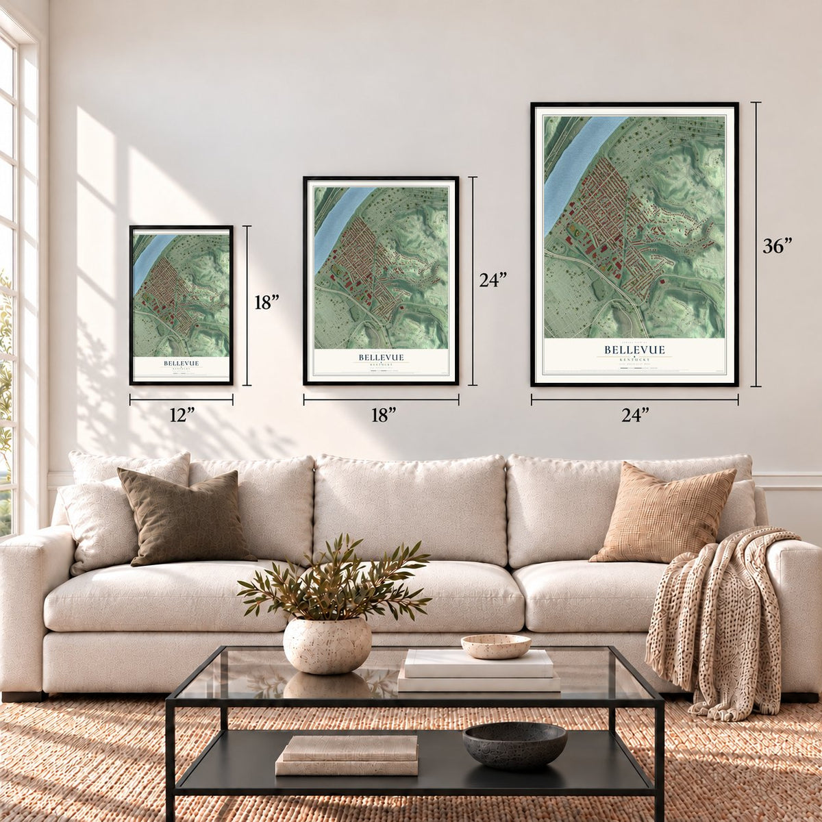
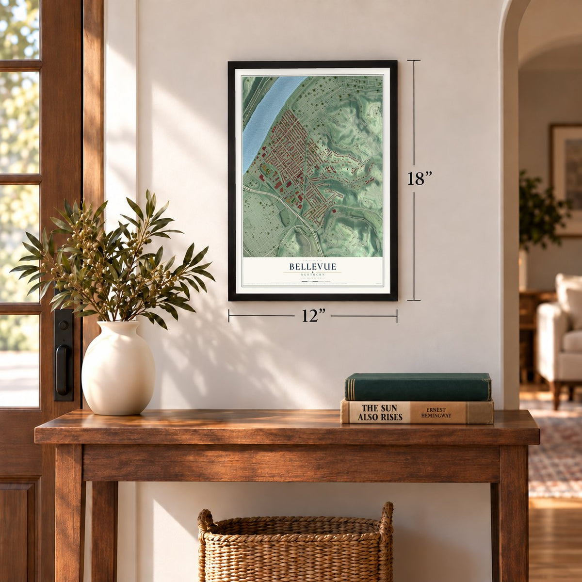
12" x 18" Archival Matte Print
A Map of Home. A Work of Art.
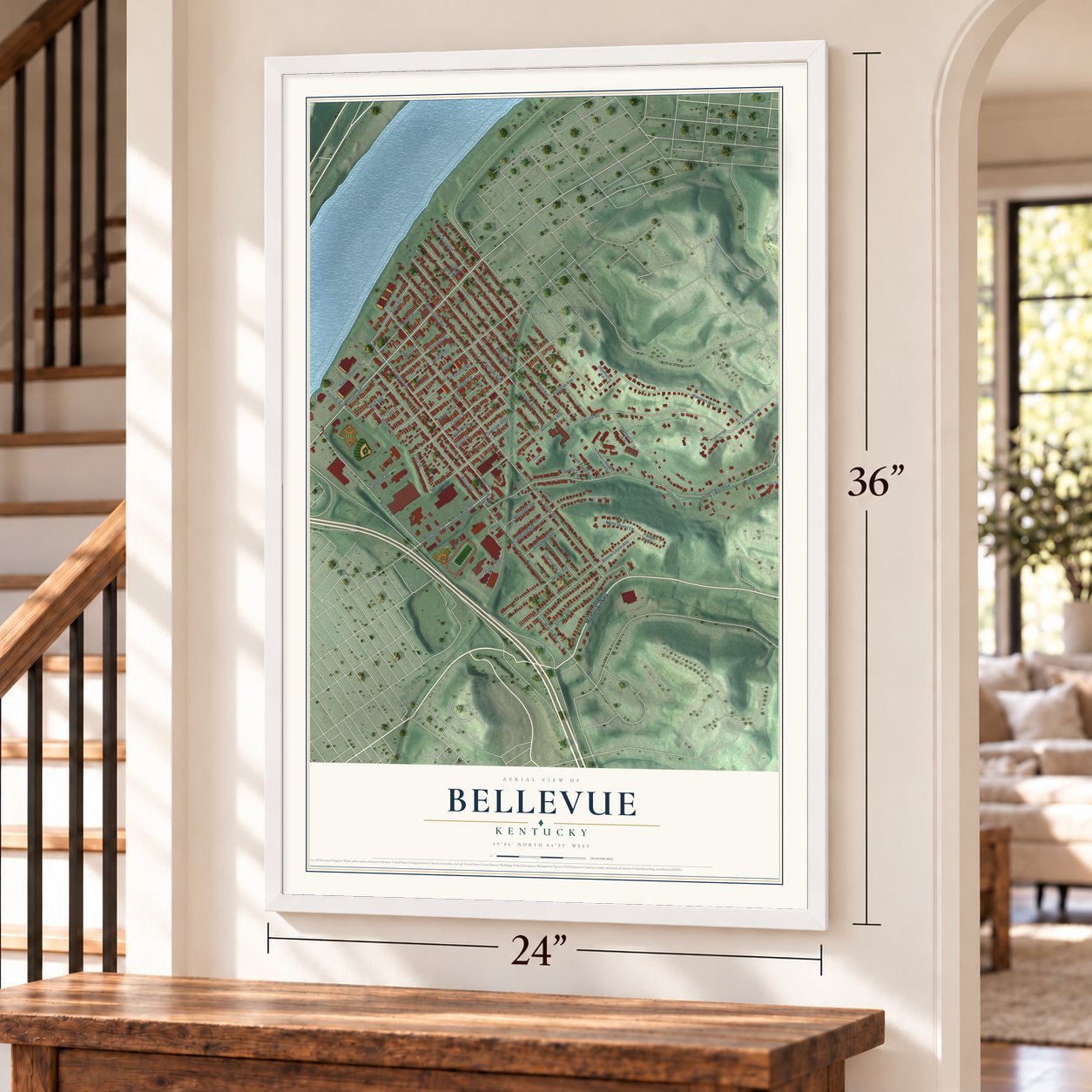
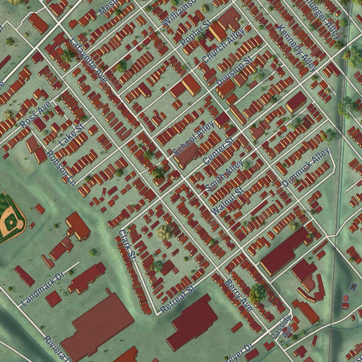
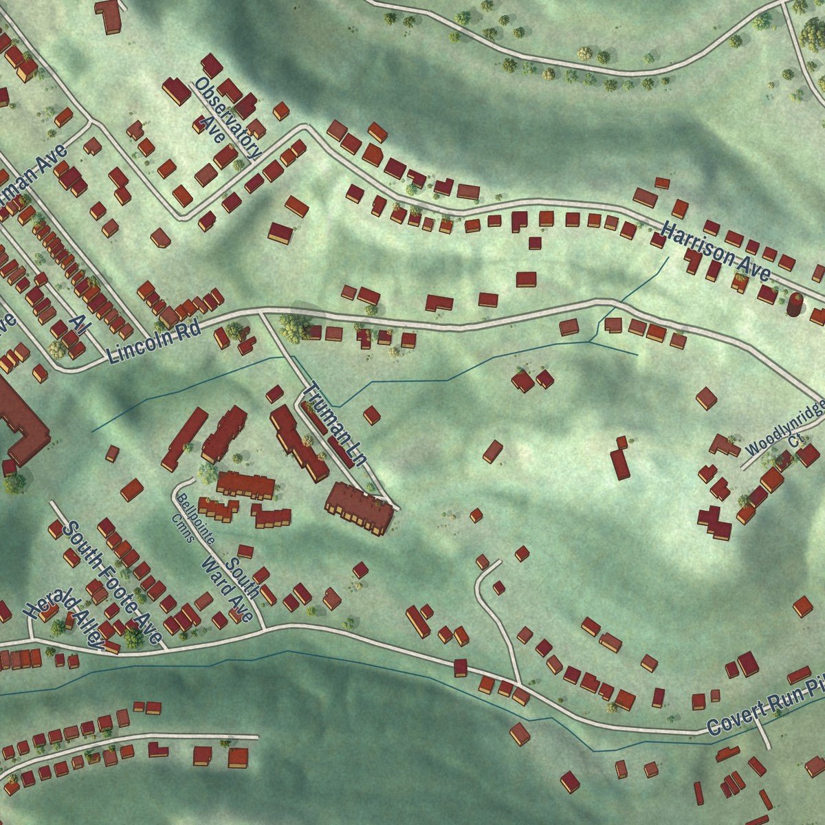
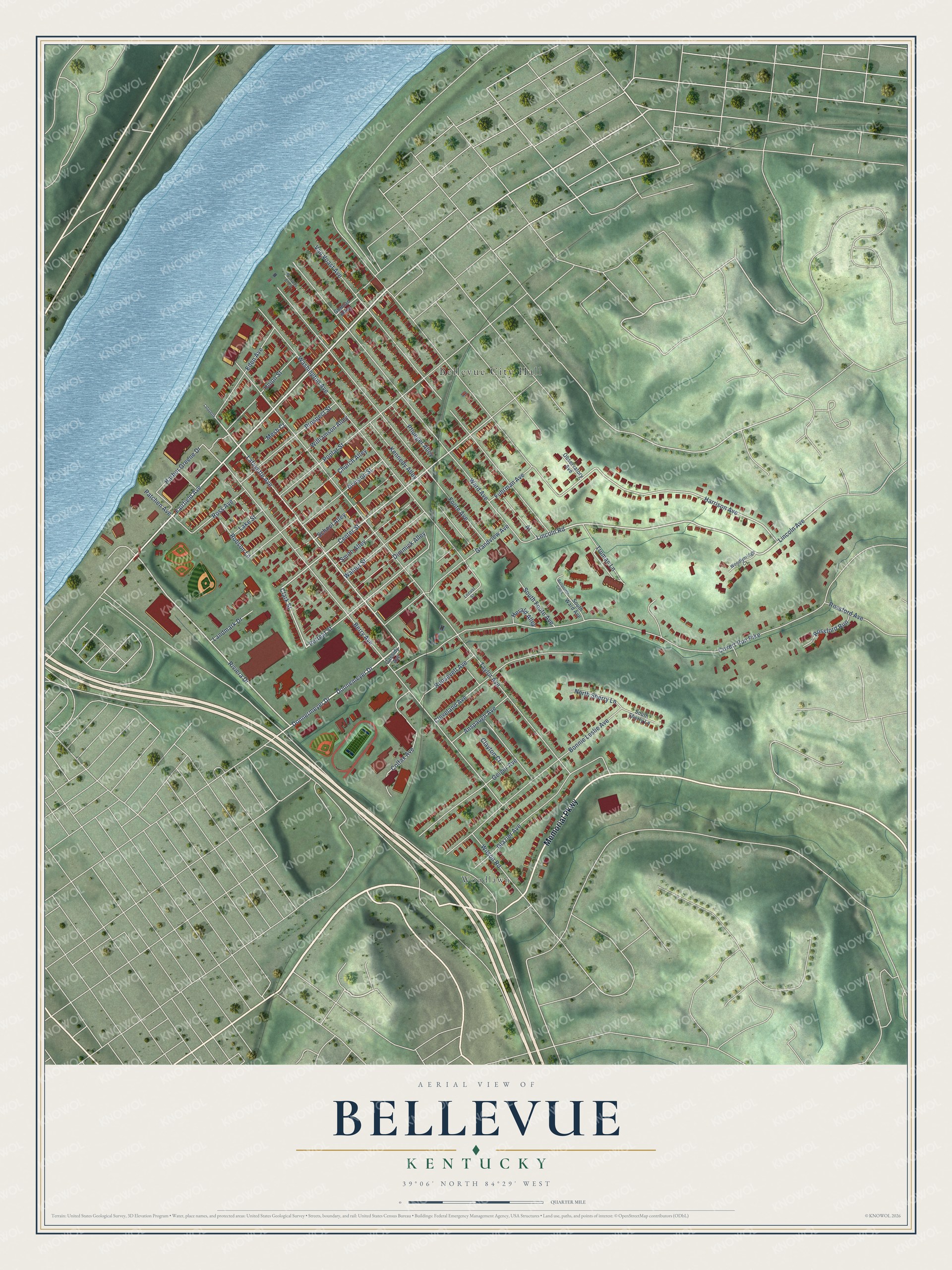
Explore Bellevue, Kentucky from a whole new perspective. Created using aerial imagery and detailed geographic data, this map captures Bellevue building by building, with labeled streets, familiar landmarks, and shaded topographical relief that highlights the natural contours of the landscape.
Combining modern data with the timeless character of a vintage atlas, this map is just as interesting up close as it is beautiful on the wall. Whether you grew up in Bellevue, spent memorable years there, or call it home today, this unique map is a great way to celebrate a place that means something to you. Zoom in on the preview to look for your street, and then order a print to put your memories on the wall.
Three ways to hang it
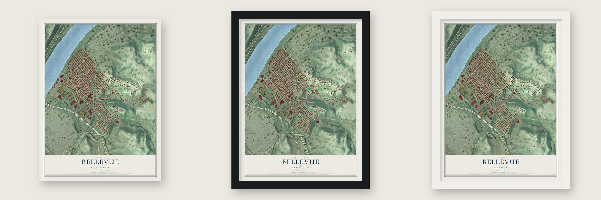
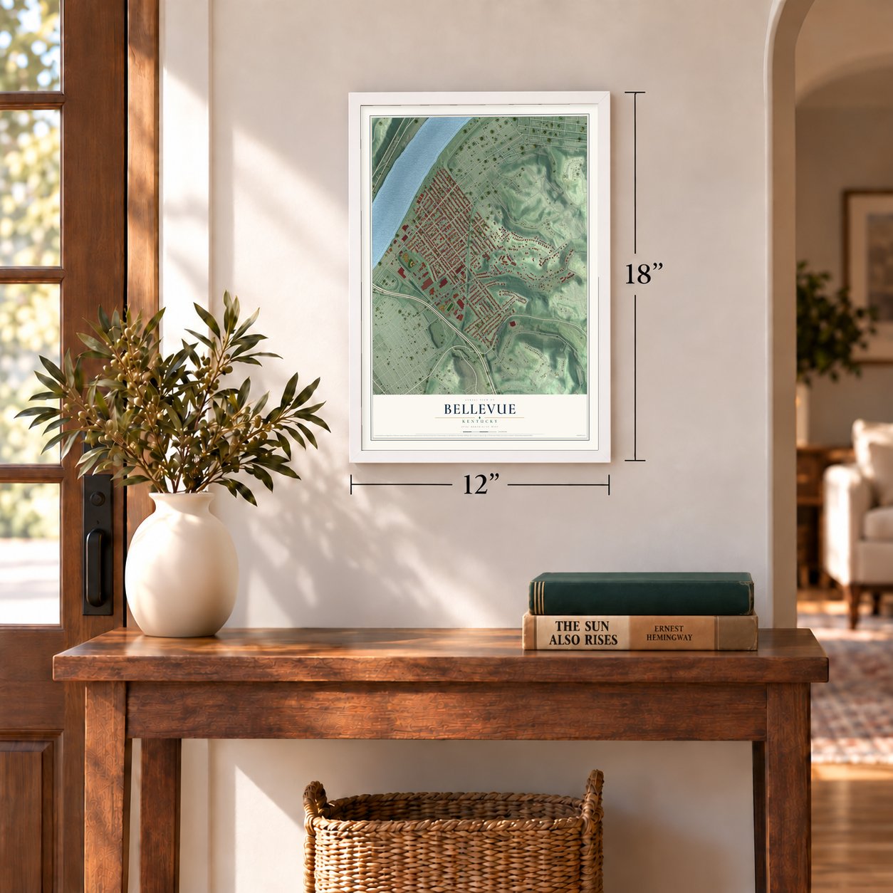
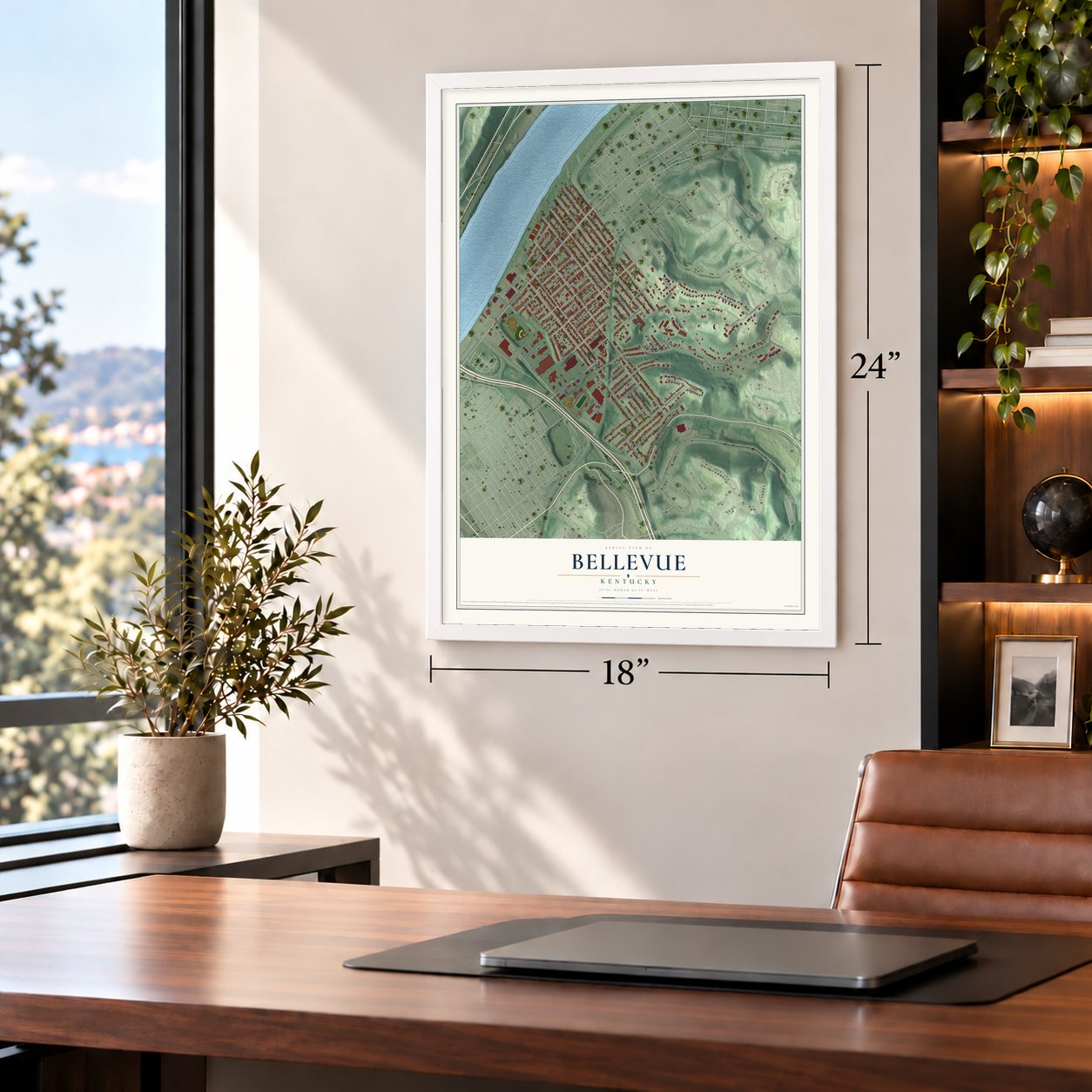
Unframed archival matte, a black wood frame or a white wood frame.
Up close
Geography Worth Displaying
This map was created using accurate cartographic data and authoritative geographic sources, including the U.S. Geological Survey and the Census Bureau. The map brings together terrain, waterways, roads, and building detail. The majority of the streets are labeled, houses are accurately depicted, and the topography is derived from government sources. Combining local data with carefully composed color and shading leads to this beautifully detailed Bellevue artwork for your wall.
Rather than simply showing street outlines, we’ve included as many of the street names as we could reasonably fit on the map while keeping their names legible. Zoom in on the high resolution preview to see exactly what’s on the map. We truly set out to create a statement piece for anyone who loves Bellevue. So whether it’s for you, or a gift for someone you love, we hope this map of Bellevue brings back fond memories.
Read the story behind this map of Bellevue, Kentucky from 2026.

Find your street
Names on the Bellevue map
Every name below is printed on this map. Look for your street, your school, the park where you played, or the pond down the road.
Places and landmarks2
- Bellevue City Hall
- Woodlawn
Streets and roads66
- Memorial Parkway
- Fairfield Avenue
- Donnemeyer Drive
- Lincoln Road
- Lincoln Avenue
- Lafayette Avenue
- Harrison Avenue
- Center Street
- Clark Street
- Riviera Drive
- Grandview Avenue
- Donnermeyer Drive
- Retreat Street
- Taylor Avenue
- Covert Run Pike
- Berry Avenue
- Ward Avenue
- Washington Avenue
- Van Voast Avenue
- Foote Avenue
- Bonnie Leslie Avenue
- Poplar Street
- Cleveland Avenue
- Division Street
- Kennedy Alley
- Glazier Avenue
- Eden Avenue
- Colfax Avenue
- School Alley
- Geiger Avenue
Show all 66 streets
- Union Street
- Walnut Street
- Smith Alley
- Church Alley
- Prospect Street
- Williamson Alley
- Harbor Greene Drive
- Dimmick Alley
- Wilson Road
- Truman Lane
- Roosevelt Avenue
- Anspaugh Avenue
- Ross Avenue
- Pflueger Alley
- Patchen Avenue
- Rossford Run
- South Foote Avenue
- Fuhrman Avenue
- North Sherry Lane
- Robson Lane
- Landmark Drive
- Rossford Avenue
- Herald Alley
- Lake Street
- Clayton Court
- Mesh Court
- Gorman Alley
- South Sherry Lane
- Observatory Avenue
- South Ward Avenue
- Cassidy Avenue
- Woodlynridge Court
- Printers Alley
- Locust Street
- Bellpointe Cmns
- Lafayette
Names are listed as they appear on the printed map. Zoom into the product photos to find them.
About Bellevue, Kentucky
Bellevue is a city of 5,548 people in Campbell County, on the southern bank of the Ohio River facing the Mount Adams neighborhood of Cincinnati. Its ground was once the eastern end of the plantation of Gen. James Taylor Jr., who served as the western army's quartermaster general during the War of 1812. He named the land after his family's plantation back in Virginia, and the French words belle vue mean "beautiful view."
The state assembly incorporated the city in 1870, when only 381 people lived here, and by 1877 the town was said to be "growing fast." By the 1890s, Balke's Opera House at Berry and Fairfield Avenues did double duty as town hall and firehouse, and a city directory counted 15 grocery stores, seven saloons, six doctors and a wagon maker. In 1894 city leaders printed a brochure praising Fairfield Avenue, always the main business street, to draw new settlers.
“Fairfield Avenue, running east and west through the entire town, is the principal business thoroughfare, and business houses are kept well stocked with the latest and best of everything in all branches of trade.”
- Queen City Beach, 1902Bellevue was known for white sandy beaches, and in the summer of 1902 a resort called Queen City Beach opened from Washington Avenue to the Dayton line. It ranked among the biggest inland bathing resorts in the nation, and its 150 foot veranda held lockers and rented rowboats, skiffs and sailboats.
- From beach to dance clubSewage and factory waste drove visitors away from Queen City Beach, and dams and locks raised the river over the sand. The resort was renamed Riviera Beach in the 1920s and Horseshoe Gardens in 1930, and it lasted as a dance club until floods wrecked it. Bellevue Beach Park now marks the spot.
- The first church, 1874Sacred Heart Church, built in 1874, was Bellevue's first house of worship. Its present building went up in 1892-93 under the German name Herz Jesu Kirche, and it joined the National Register in 1974.
- High ground on the OhioBellevue sits on a gentle slope that climbs toward the Kentucky Highlands, higher than the cities beside it. When the Ohio rose, homes flooded in Dayton and Newport while most of Bellevue stayed dry, so the city never needed the levee that protects its neighbors.
- A three-day battle in 1745Long before the town, Illini, Miami, Shawnee, Cherokee and Tuscarora people hunted and fished on this land. In 1745 the Shawnee, Miami and Cherokee fought a battle here that lasted three days and left many dead.
Keep exploring Kentucky
Bellevue is one of 659 Kentucky towns we've mapped. Every dot on the map is a print of its own.
The search covers every state, Kentucky first.
Near Bellevue
Order 2 or more town maps and save 10%. Shown in the size and finish you picked above, so they hang as a set.
- Woodlawn 12" x 18" / Archival Matte Print $39.99
- Dayton 12" x 18" / Archival Matte Print $39.99
- Newport 12" x 18" / Archival Matte Print $39.99
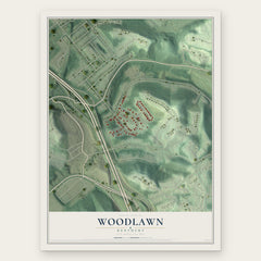
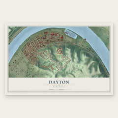
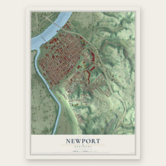
More maps nearby: Fort Thomas, Southgate, Park Hills, Ludlow and Kenton Vale.
The art of mapping a place
How This Map Was Made
Real places. Remarkable detail. Discover the layers that turn geographic data into a map of home.

The view from above
Aerial imagery reveals the character of the land: woodland, open fields, and the patterns of a place.

The shape of the land
Elevation data brings hills, valleys, and subtle changes in the landscape into view.

The details of home
Roads, waterways, and building footprints come together to make the map feel unmistakably local.

Geography becomes art
Considered color, shading, and typography bring the layers together in a map made for your wall.


Process illustrated with Mendon, Massachusetts. Aerial imagery: USDA NAIP. Terrain: USGS 3D Elevation Program. Map details and finished artwork: KNOWOL.
The Details
About This Print
Choose an archival matte print, or a black or white Ayous wood frame. The archival matte print is unframed.
Select your size and finish above to see the matching product image and price.
Materials & Craftsmanship
A contemporary map with the character of a classic atlas, printed on archival matte paper. Optional frames are made from Ayous wood.
Your printed map does not include the watermark shown in the full-map preview.
Shipping & Delivery
Free shipping within the United States. Every print is made to order in the USA.
Buying a gift? Add a note in your cart and we'll include it. We never put prices in the package.
Prints ship within 2 to 3 business days. Allow 7 to 10 days total from ordering for delivery. Timing may vary during holidays or periods of high order volume.
Read our shipping policy.
Returns and damaged prints
Each print is made to order. Change-of-mind refunds are not available after production.
If your print arrives damaged, misprinted or incorrect, contact support@knowol.com within 30 days of receiving it. Include your order number, photos and a description of the issue.
Read our full refund and replacement policy. For questions about your order, email support@knowol.com.