
Search for another town

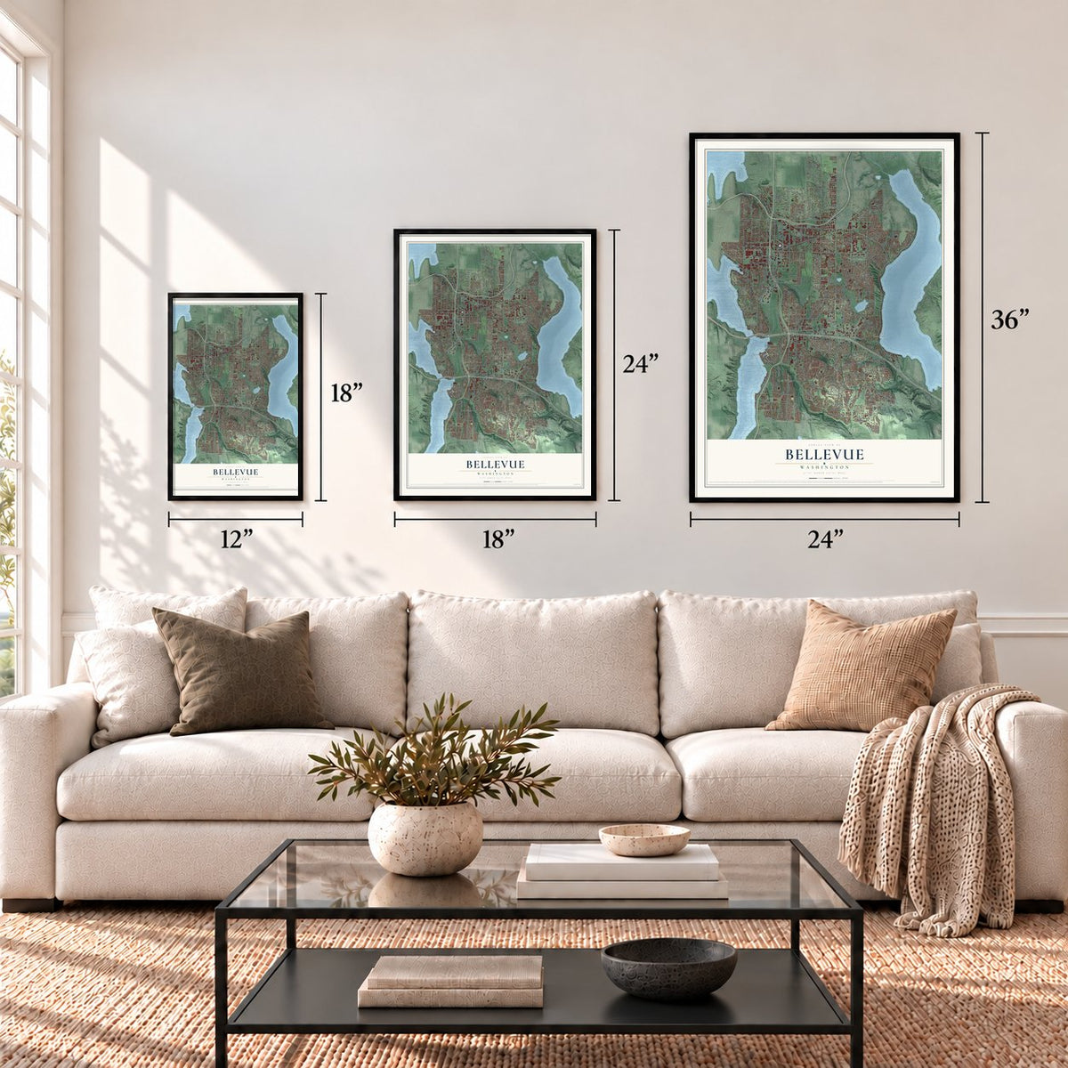

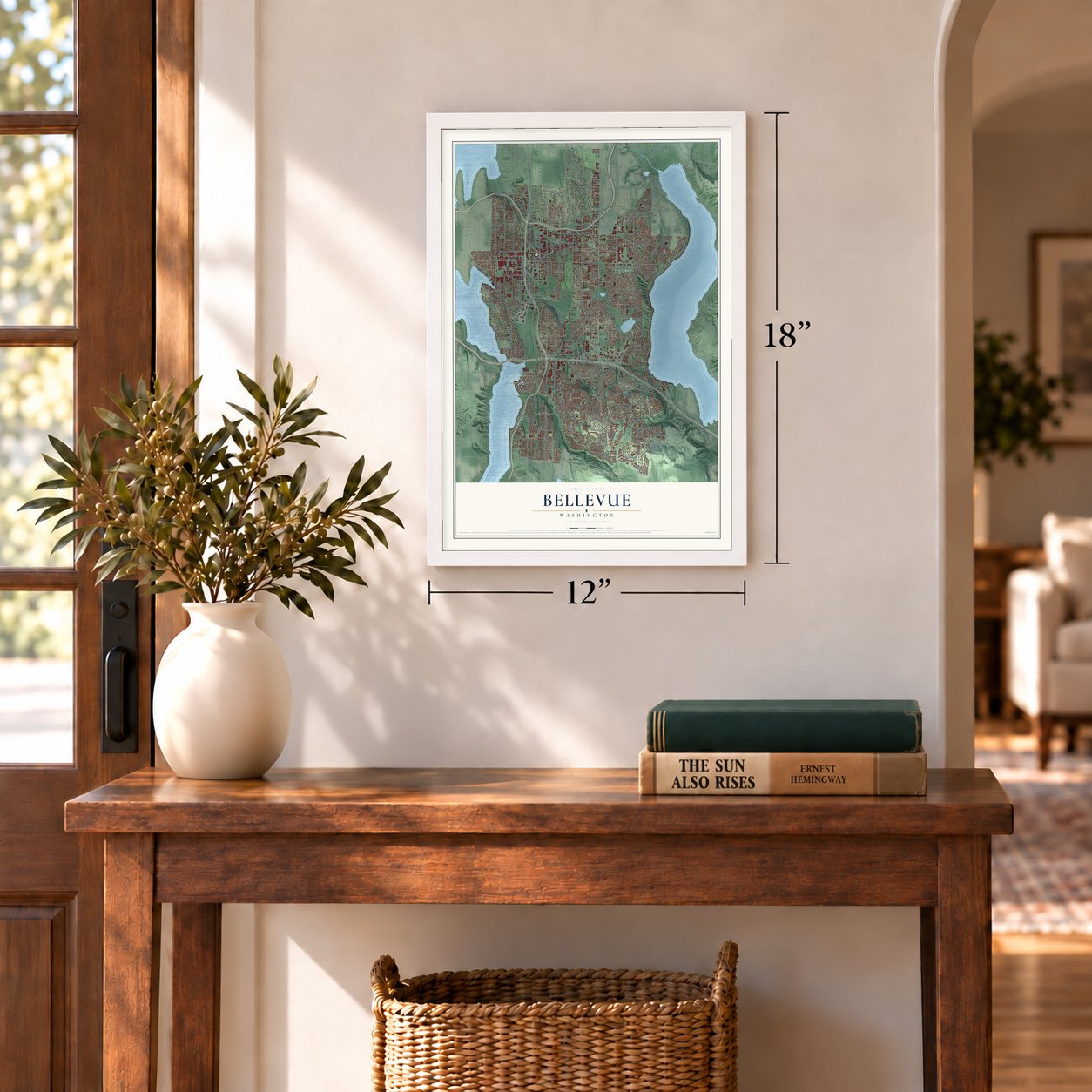
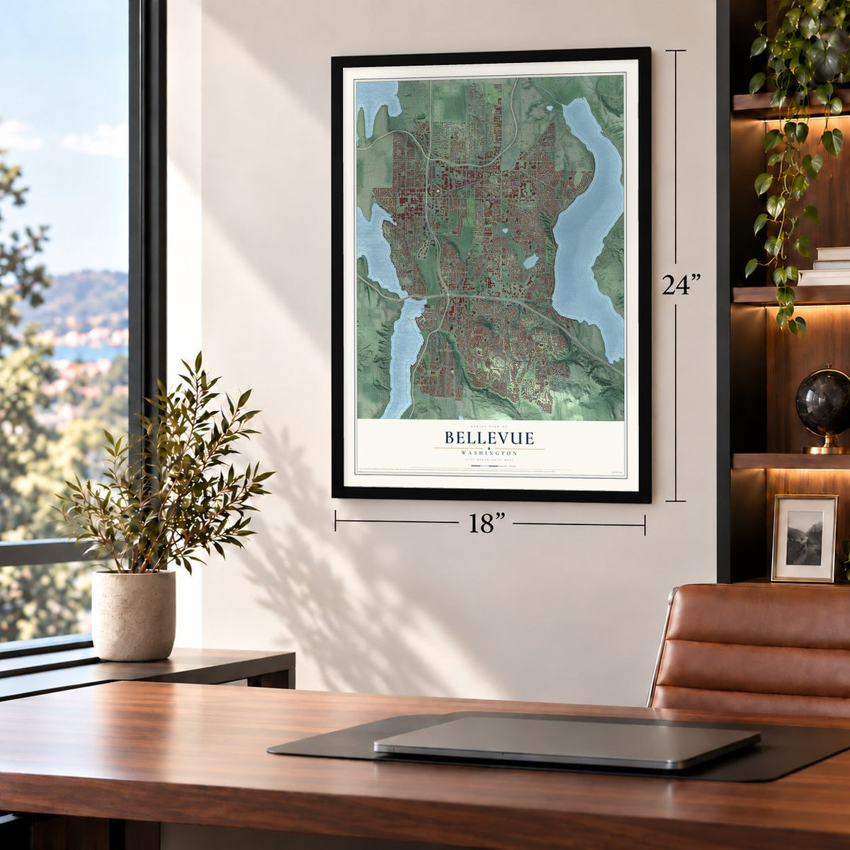
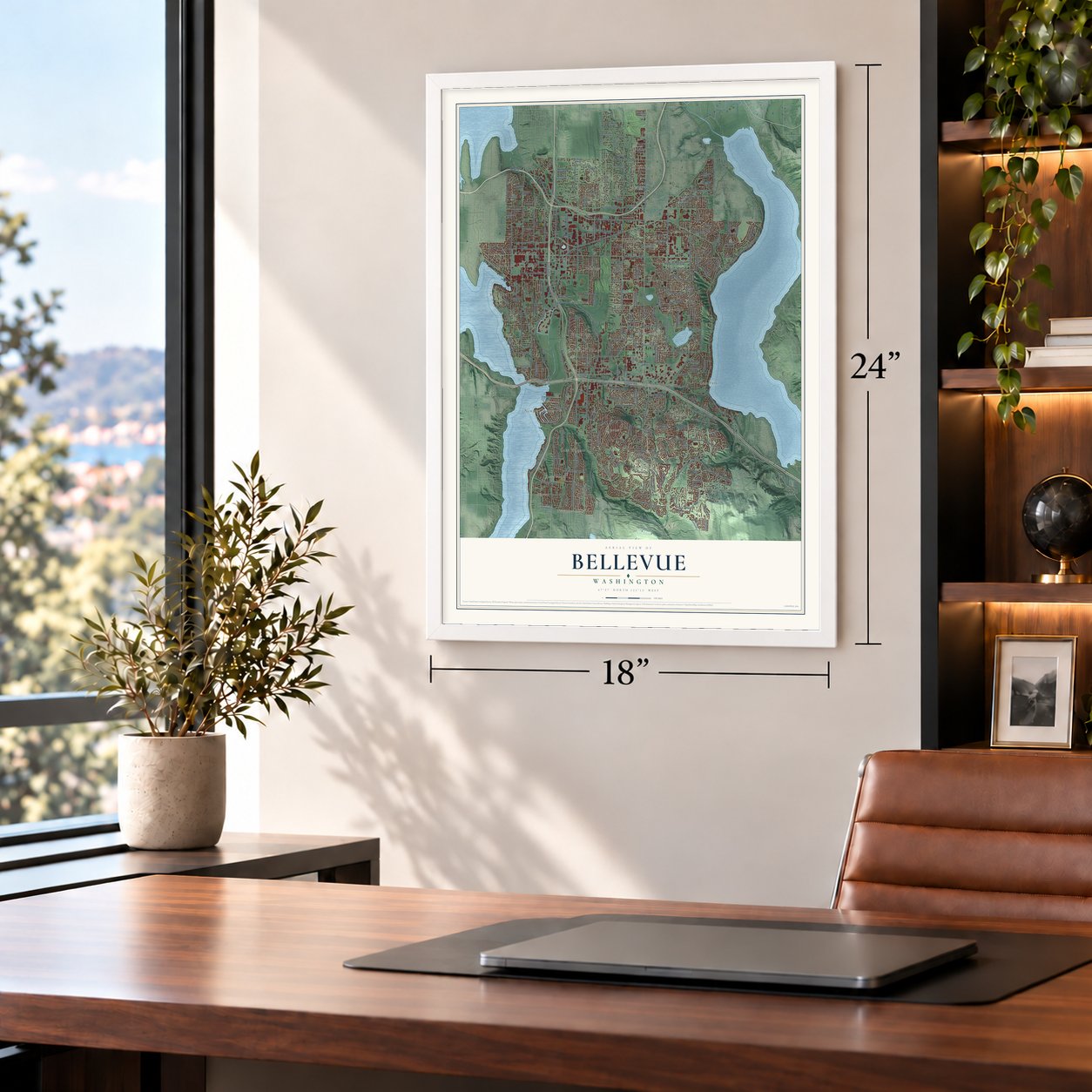


Free U.S. delivery 7 to 10 days after you order
Bellevue, Washington Map Art
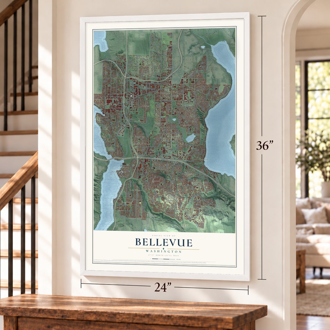
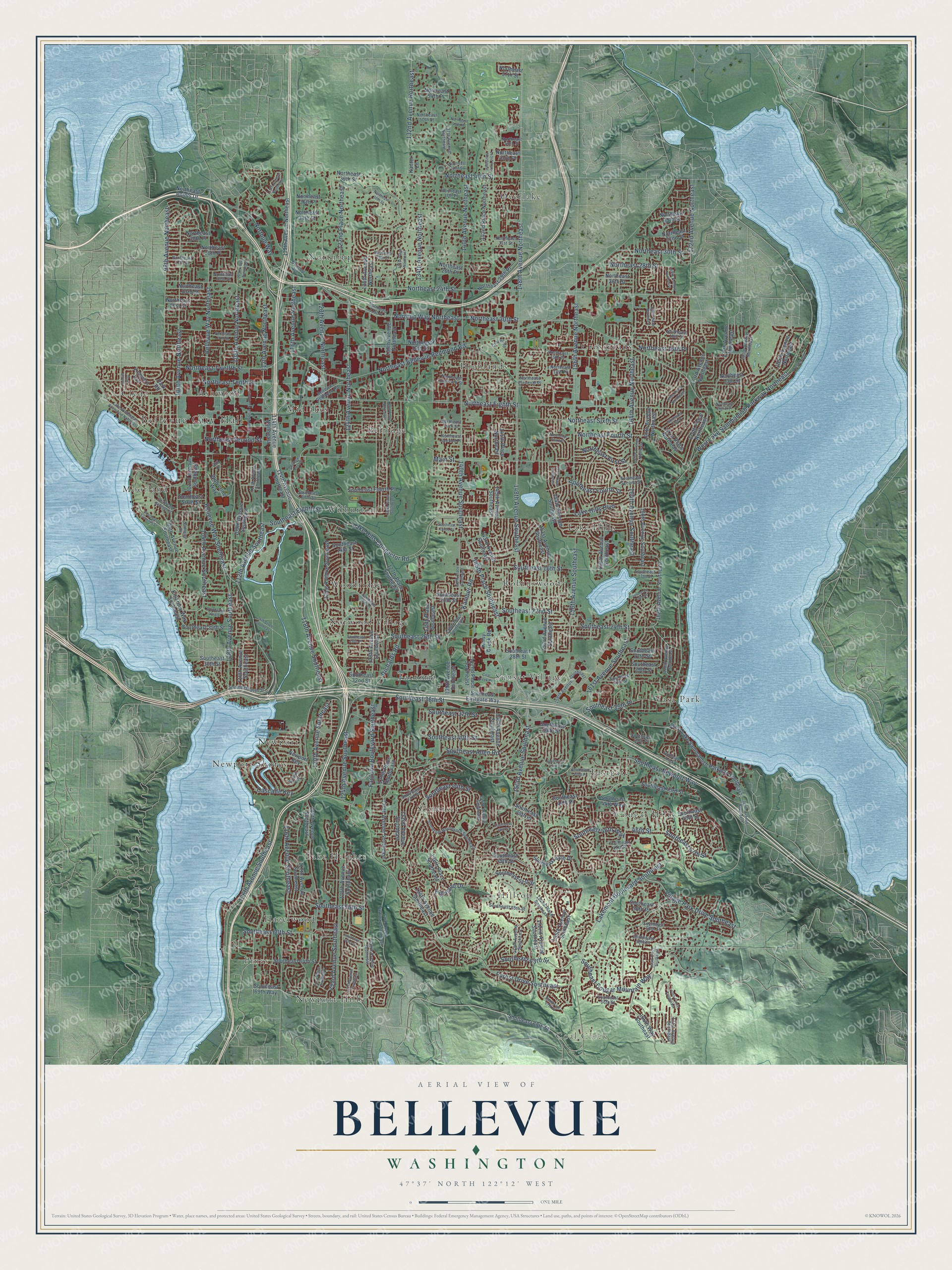
A new map of Bellevue, Washington, made in 2026 and printed to order on thick archival matte paper.
12" x 18" Archival Matte Print
A Map of Home. A Work of Art.
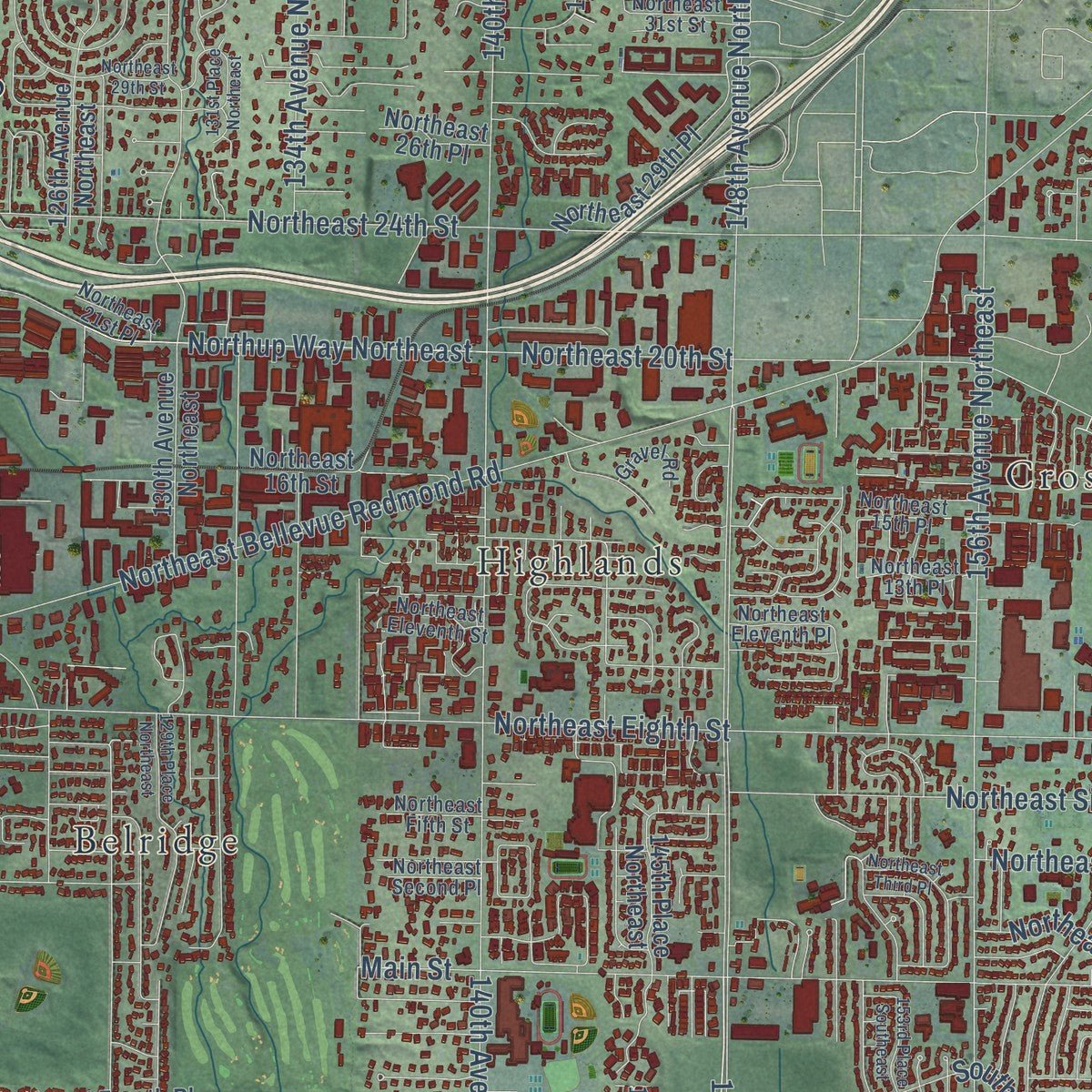
Explore Bellevue, Washington from a whole new perspective. Created using aerial imagery and detailed geographic data, this map captures Bellevue building by building, with labeled streets, familiar landmarks, and shaded topographical relief that highlights the natural contours of the landscape.
Combining modern data with the timeless character of a vintage atlas, this map is just as interesting up close as it is beautiful on the wall. Whether you grew up in Bellevue, spent memorable years there, or call it home today, this unique map is a great way to celebrate a place that means something to you. Zoom in on the preview to look for your street, and then order a print to put your memories on the wall.
Three ways to hang it
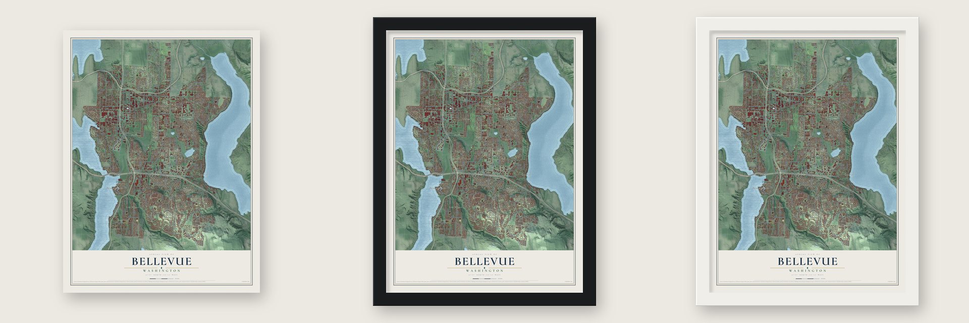
Unframed archival matte, a black wood frame or a white wood frame.
Up close
Geography Worth Displaying
This map was created using accurate cartographic data and authoritative geographic sources, including the U.S. Geological Survey and the Census Bureau. The map brings together terrain, waterways, roads, and building detail. The majority of the streets are labeled, houses are accurately depicted, and the topography is derived from government sources. Combining local data with carefully composed color and shading leads to this beautifully detailed Bellevue artwork for your wall.
Rather than simply showing street outlines, we’ve included as many of the street names as we could reasonably fit on the map while keeping their names legible. Zoom in on the high resolution preview to see exactly what’s on the map. We truly set out to create a statement piece for anyone who loves Bellevue. So whether it’s for you, or a gift for someone you love, we hope this map of Bellevue brings back fond memories.
Read the story behind this map of Bellevue, Washington from 2026.

About Bellevue, Washington
Bellevue is a city of 151,854 people in King County, on the east shore of Lake Washington, facing Seattle. Its name comes from the French belle vue, meaning beautiful view. William Meydenbauer, a Seattle baker, and Aaron Mercer each claimed land here in 1869, but both later sold out and left. In 1882 Isaac Bechtel Sr. bought land near today's downtown, and he and his sons spent years logging and clearing it.
Other settlers came after him, and by 1890 the area had a sawmill, shingle mills, small farms and a school. Starting in 1903, the Hewitt-Lea Lumber Company of Tacoma hired hundreds of men to cut the timber nearby. The town was platted in 1904, and by 1910 its population had grown to nearly 1,500. Bellevue incorporated as a third-class city in 1953, with about 8,000 people on roughly six square miles. It then grew through annexations such as Crossroads in 1964, Lake Hills in 1969 and Factoria in 1993.
- Strawberry fields and 1942Japanese immigrants were first hired to pull the stumps left after logging, and some stayed on to farm. Strawberries became their main crop, and in 1925 the town started a strawberry festival that drew as many as 15,000 visitors by the 1930s. In 1932 Japanese growers founded the Bellevue Vegetable Growers Association. In 1942 about 60 Japanese families were sent to incarceration camps, the berry crop collapsed and the festival stopped. Only a handful of those families came back.
- From rowboats to bridgesEarly settlers reached Seattle by boat, sometimes by rowboat, until regular ferry runs began on boats like the C.C. Calkins, the Squak and the Fortuna. The Leschi, the lake's first auto ferry, started in 1913. A bridge over the East Channel to Mercer Island opened in 1923, and the Lake Washington Floating Bridge to Seattle followed in 1940. Bellevue then began turning into a bedroom community, and the Evergreen Point Floating Bridge sped its growth after 1963.
- A mall and a fairBellevue Square opened downtown in 1946, and it has since expanded into one of the biggest shopping centers anywhere in the region. A year later came the first Pacific Northwest Arts and Crafts Fair, now called the Bellevue Arts and Crafts Fair, which is still held every year on the last weekend in July.
- Where Amazon beganJeff Bezos founded Amazon in Bellevue. The truck maker PACCAR, T-Mobile US and the game company Valve all have their headquarters in the city today.
Find your street
Names on the Bellevue map
Every name below is printed on this map. Look for your street, your school, the park where you played, or the pond down the road.
Places and landmarks29
- Bellevue City Hall
- Coal Creek
- Ashwood
- Belridge
- Clyde
- Cougar Hills
- Crossroads
- Eastgate
- Factoria
- Hazelwood
- Highlands
- Hilltop
Show all 29 places
- Lake Heights
- Lake Hills
- Midlakes
- Moorland
- Newport
- Newport Hills
- Newport Shores
- Northrup
- Norwood Village
- Overlake
- Pines
- Robinswood
- Somerset
- Sunset Village
- Vasa Park
- Wilburton
- Woodridge
Streets and roads264
- 148th Avenue Southeast
- 150th Avenue Southeast
- Southeast 47th Street
- 161st Avenue Southeast
- Northeast Eighth Street
- Northeast Twelfth Street
- Main Street
- Southeast 36th Street
- Richards Road
- Southeast 56th Street
- 108th Avenue Northeast
- 148th Avenue Northeast
- Northup Way
- Lake Hills Connector Road
- Southeast Newport Way
- Northeast 24th Street
- 140th Avenue Northeast
- Northeast Bellevue Redmond Road
- 156th Avenue Southeast
- Lakemont Boulevard Southeast
- Southeast 60th Street
- Northeast 20th Street
- 118th Avenue Southeast
- 164th Avenue Southeast
- 116th Avenue Northeast
- 123rd Avenue Southeast
- Northeast First Street
- 112th Avenue Southeast
- Northeast Fourth Street
- Southeast Eighth Street
Show all 264 streets
- Southeast 16th Street
- Bellevue Way Northeast
- 108th Avenue Southeast
- 112th Avenue Northeast
- 145th Place Southeast
- Northeast Tenth Street
- Forest Drive Southeast
- Bellevue Way Southeast
- Northeast Sixth Street
- Northeast 28th Street
- 106th Avenue Southeast
- Southeast 24th Street
- 164th Avenue Northeast
- 100th Avenue Northeast
- Highland Drive
- 140th Avenue Southeast
- 172nd Avenue Northeast
- 134th Avenue Northeast
- 132nd Avenue Northeast
- Lake Hills Boulevard
- 124th Avenue Northeast
- 120th Avenue Northeast
- 156th Avenue Northeast
- 116th Avenue Southeast
- Southeast 63rd Street
- Northeast 16th Place
- Southeast 37th Street
- Southeast 26th Street
- 98th Avenue Northeast
- West Lake Sammamish Parkway Northeast
- Southeast Fourth Street
- Northeast Second Street
- 120th Avenue Southeast
- Southeast 40th Street
- Northeast 30th Street
- Southeast 22nd Street
- Factoria Boulevard Southeast
- 104th Avenue Southeast
- 124th Avenue Southeast
- Cascade Key
- Southeast 46th Way
- Southeast Allen Road
- Northeast 40th Street
- Village Park Drive Southeast
- Southeast Cougar Mountain Way
- Southeast 44th Street
- 122nd Place Northeast
- 46th Street
- Kamber Road
- Northup Way Northeast
- Southeast 35th Place
- 128th Avenue Southeast
- 121st Avenue Southeast
- 168th Avenue Southeast
- Southeast 45th Street
- 152nd Avenue Southeast
- Southeast 27th Street
- 151st Avenue Southeast
- 114th Avenue Southeast
- 127th Place Southeast
- Southeast 68th Street
- Northeast 32nd Street
- Southeast 48th Drive
- Northeast 43rd Place
- West Lake Sammamish Parkway Southeast
- 139th Avenue Southeast
- 153rd Avenue Southeast
- Southeast Eastgate Way
- Southeast 43rd Street
- 155th Avenue Southeast
- 130th Avenue Northeast
- 146th Avenue Southeast
- 125th Avenue Southeast
- 145th Avenue Southeast
- Southeast 49th Street
- 160th Avenue Southeast
- Southeast 25th Street
- Southeast 38th Street
- 119th Avenue Southeast
- 154th Avenue Southeast
- Southeast 32nd Street
- 166th Avenue Southeast
- 109th Avenue Southeast
- Northeast 16th Street
- Southeast 45th Place
- 132nd Avenue Southeast
- 143rd Avenue Southeast
- Northeast 29th Place
- Southeast 69th Way
- 142nd Place Southeast
- Northeast 13th Street
- Southeast 64th Street
- Southeast 30th Street
- Southeast 44th Place
- Southeast 14th Street
- 110th Avenue Southeast
- 130th Avenue Southeast
- 126th Avenue Northeast
- 129th Place Southeast
- 136th Place Southeast
- 134th Avenue Southeast
- Southeast 20th Street
- Northeast 39th Street
- 135th Place Southeast
- Northeast 26th Street
- 142nd Place Northeast
- Northeast 35th Street
- 167th Avenue Northeast
- 115th Avenue Northeast
- Southeast Sixth Street
- Northeast 30th Place
- Northeast 36th Place
- Southeast 51st Street
- Northeast 21st Street
- 117th Avenue Southeast
- Northeast 26th Place
- 185th Avenue Northeast
- 102nd Avenue Southeast
- Southeast 29th Street
- Southeast 28th Street
- Killarney Way Southeast
- 173rd Avenue Northeast
- 171st Place Northeast
- Southeast Fourth Place
- 177th Avenue Northeast
- 98th Avenue Southeast
- Northeast 28th Place
- 166th Way Southeast
- 114th Avenue Northeast
- Vineyard Crst
- Northeast 23rd Street
- Northeast 34th Street
- Southeast 56th Place
- 174th Place Northeast
- 145th Place Northeast
- Wolverine Way
- Northeast 54th Place
- Northeast Points Drive
- Newport Key
- Kelsy Creek Road
- Southeast 44th Way
- Northeast 57th Street
- Park Road
- Kanter Lane
- Southeast 47th Place
- 152nd Place Southeast
- Northeast 15th Place
- 170th Avenue Southeast
- Southeast 17th Street
- Coal Creek Parkway Southeast
- Northeast Fifth Street
- 129th Avenue Southeast
- 158th Avenue Southeast
- Northeast 18th Street
- 171st Avenue Southeast
- Southeast 58th Street
- Southeast 59th Street
- Northeast 27th Street
- Somerset Boulevard Southeast
- Southeast 66th Street
- 149th Avenue Southeast
- Southeast Fifth Street
- Northeast 37th Place
- Northeast Eleventh Street
- Southeast 31st Street
- 144th Avenue Southeast
- 139th Place Southeast
- Southeast 43rd Place
- Northeast Second Place
- Southeast 55th Street
- Southeast Second Street
- Skagit Key
- Northeast 25th Street
- Southeast 34th Street
- 137th Avenue Northeast
- 111th Avenue Southeast
- Northeast 31st Street
- Northeast 13th Place
- Northeast 21st Place
- 180th Avenue Northeast
- Northeast Eleventh Place
- Northeast 45th Street
- Rosemont
- Southeast 39th Place
- Northeast 50th Street
- Bellevue Redmond Road
- Northup Avenue
- Gravel Road
- Lake Washington Boulevard Northeast
- Southeast 67th Street
- Southeast 20th Place
- Northeast 36th Street
- 131st Place Northeast
- Southeast Tenth Street
- Southeast 23rd Street
- Southeast 42nd Place
- Southeast 42nd Street
- Southeast 46th Street
- 127th Avenue Southeast
- 169th Avenue Northeast
- 110th Avenue Northeast
- 140th Place Southeast
- Southeast Seventh Street
- 165th Avenue Northeast
- Northeast 29th Street
- Southeast 41st Street
- Southeast Eleventh Street
- 168th Place Southeast
- Northeast 17th Street
- Southeast First Street
- 170th Place Southeast
- Southeast 19th Street
- 170th Place Northeast
- 143rd Place Northeast
- Northeast Third Place
- Southeast 26th Place
- 153rd Place Southeast
- 130th Place Southeast
- Northeast Eighth Place
- Southeast 61st Street
- Northeast Fifth Place
- 166th Place Northeast
- Coal Creek Road
- 109th Place Northeast
- 180th Avenue Southeast
- 129th Place Northeast
- Northeast 42nd Street
- 121st Place Southeast
- 113th Avenue Northeast
- Northeast 48th Place
- 24th Street Southeast
- Sunset Way
- Northside Road
- Cliff Place
Names are listed as they appear on the printed map. Zoom into the product photos to find them.
The art of mapping a place
How This Map Was Made
Real places. Remarkable detail. Discover the layers that turn geographic data into a map of home.

The view from above
Aerial imagery reveals the character of the land: woodland, open fields, and the patterns of a place.

The shape of the land
Elevation data brings hills, valleys, and subtle changes in the landscape into view.

The details of home
Roads, waterways, and building footprints come together to make the map feel unmistakably local.

Geography becomes art
Considered color, shading, and typography bring the layers together in a map made for your wall.


Process illustrated with Mendon, Massachusetts. Aerial imagery: USDA NAIP. Terrain: USGS 3D Elevation Program. Map details and finished artwork: KNOWOL.
The Details
About This Print
Choose an archival matte print, or a black or white Ayous wood frame. The archival matte print is unframed.
Select your size and finish above to see the matching product image and price.
Materials & Craftsmanship
A contemporary map with the character of a classic atlas, printed on archival matte paper. Optional frames are made from Ayous wood.
Your printed map does not include the watermark shown in the full-map preview.
Shipping & Delivery
Free shipping within the United States. Every print is made to order in the USA.
Buying a gift? Add a note in your cart and we'll include it. We never put prices in the package.
Prints ship within 2 to 3 business days. Allow 7 to 10 days total from ordering for delivery. Timing may vary during holidays or periods of high order volume.
Read our shipping policy.
Returns and damaged prints
Each print is made to order. Change-of-mind refunds are not available after production.
If your print arrives damaged, misprinted or incorrect, contact support@knowol.com within 30 days of receiving it. Include your order number, photos and a description of the issue.
Read our full refund and replacement policy. For questions about your order, email support@knowol.com.
Find your town
Looking for another city?
Find a map of home in our Washington collection, or any town in the country.
Nearby
Maps of towns near Bellevue
Know someone from one of these towns? Their map makes a great gift.
 Beaux Arts Village
, Washington
From $39.99See the map
 Clyde Hill
, Washington
From $39.99See the map
 Mercer Island
, Washington
From $39.99See the map
More maps nearby: Yarrow Point, Medina, Hunts Point, Newcastle and Sammamish.