
Search for another town





Free U.S. delivery 7 to 10 days after you order
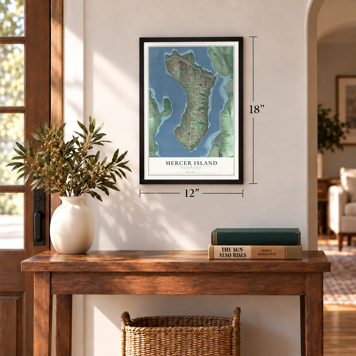
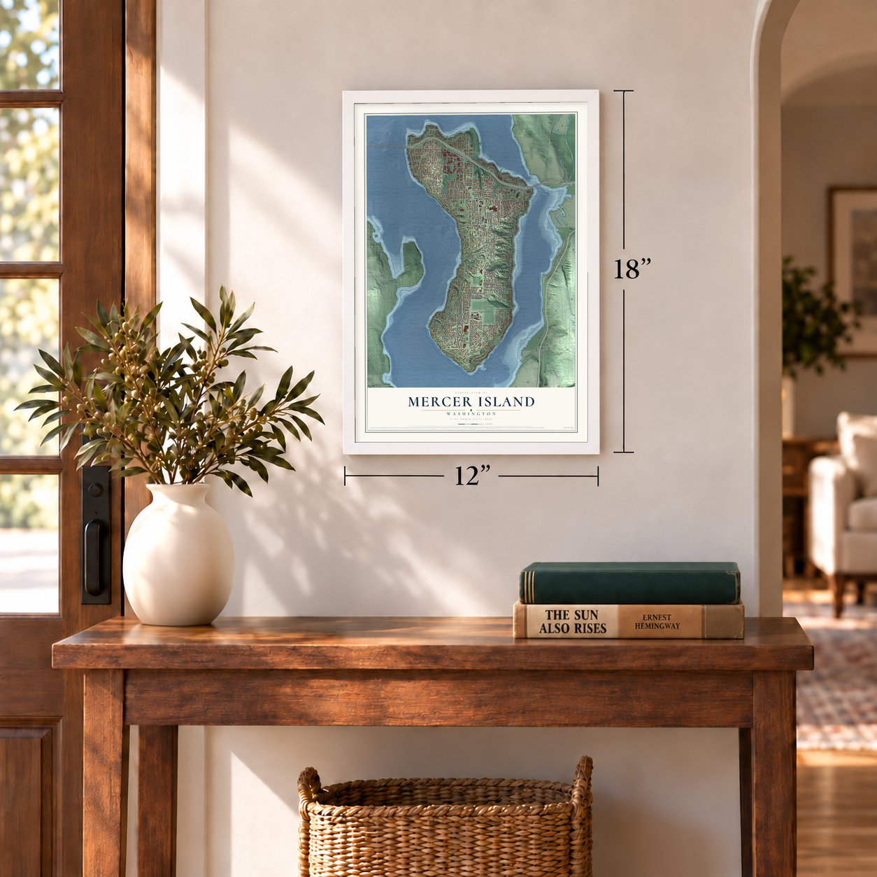
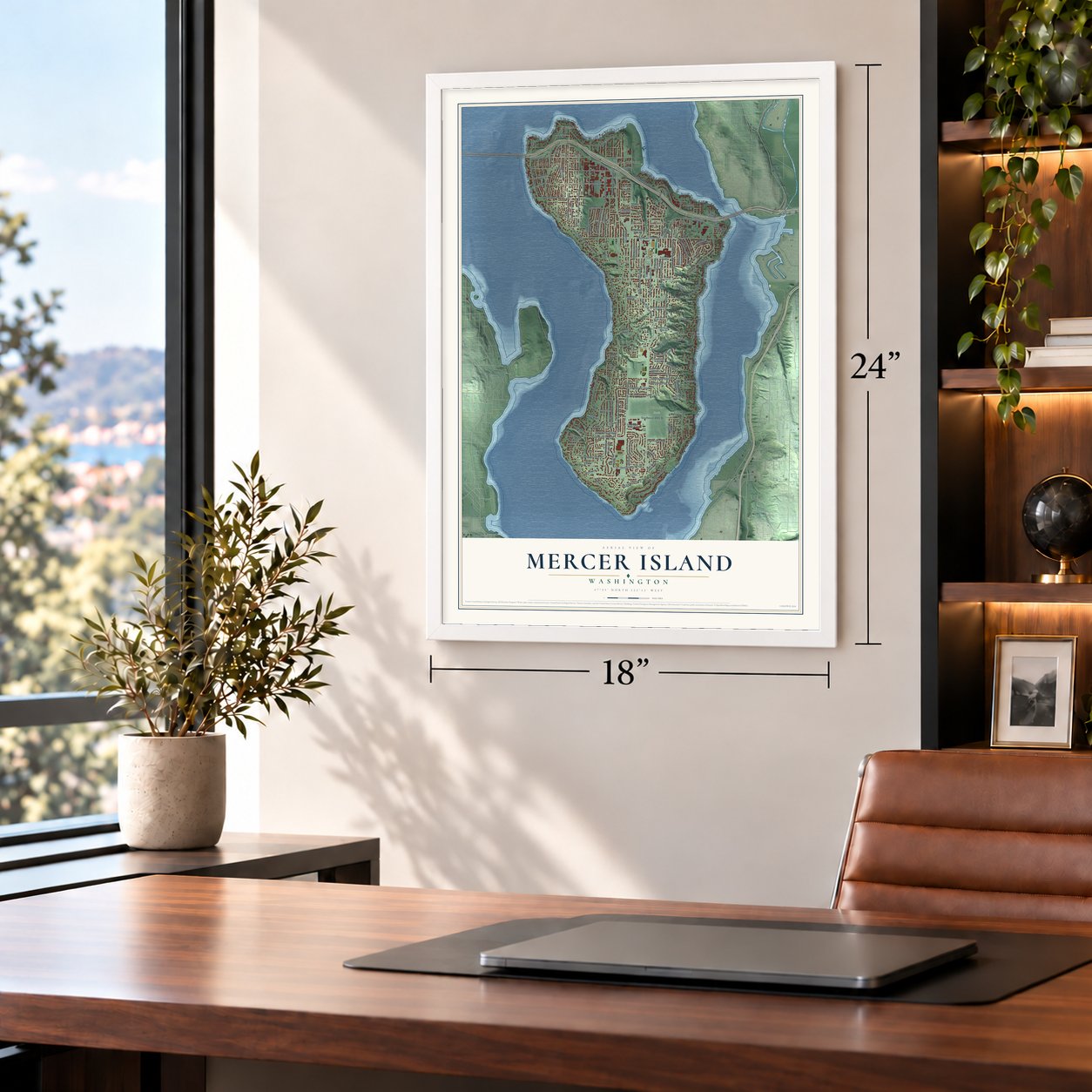
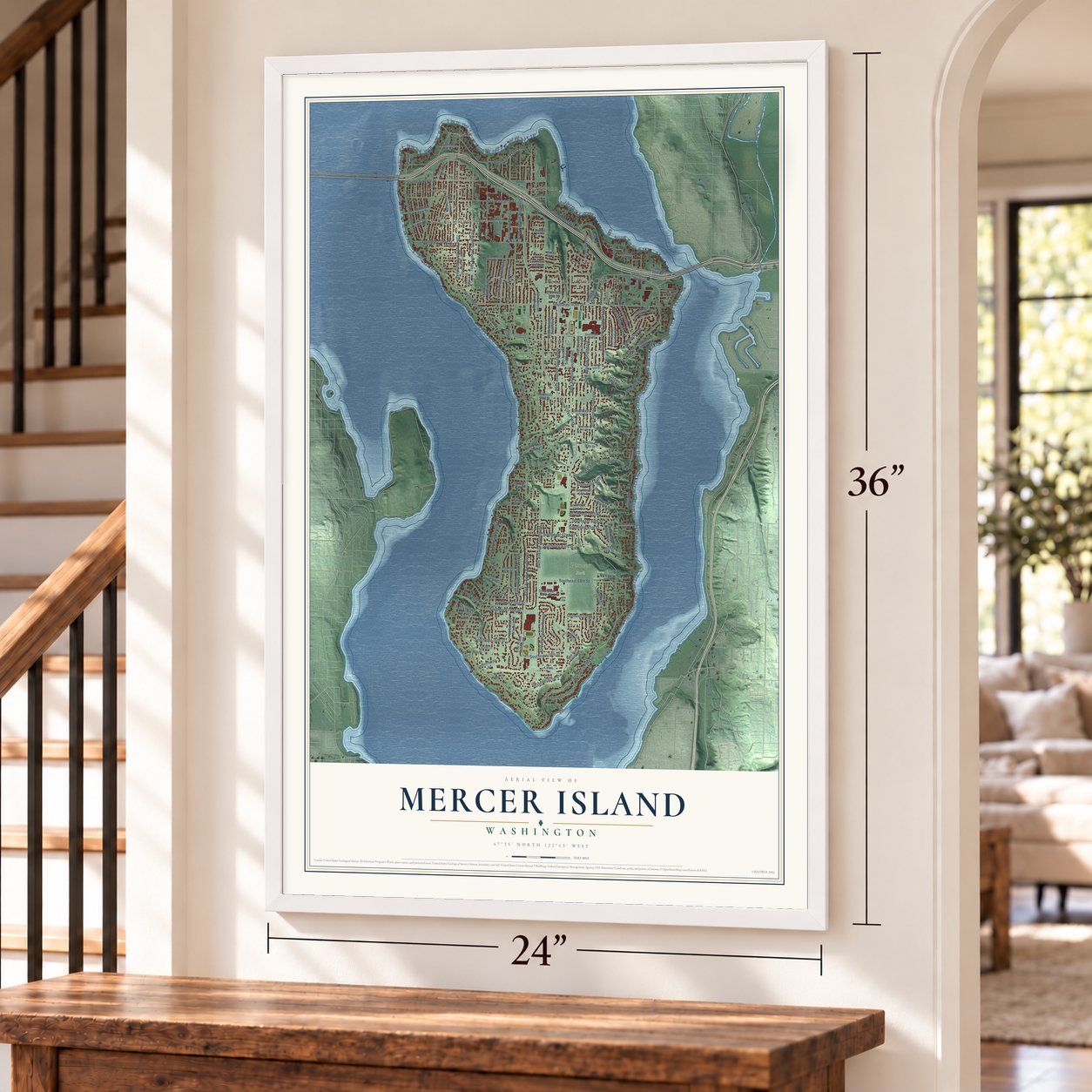
Mercer Island, Washington Map Art
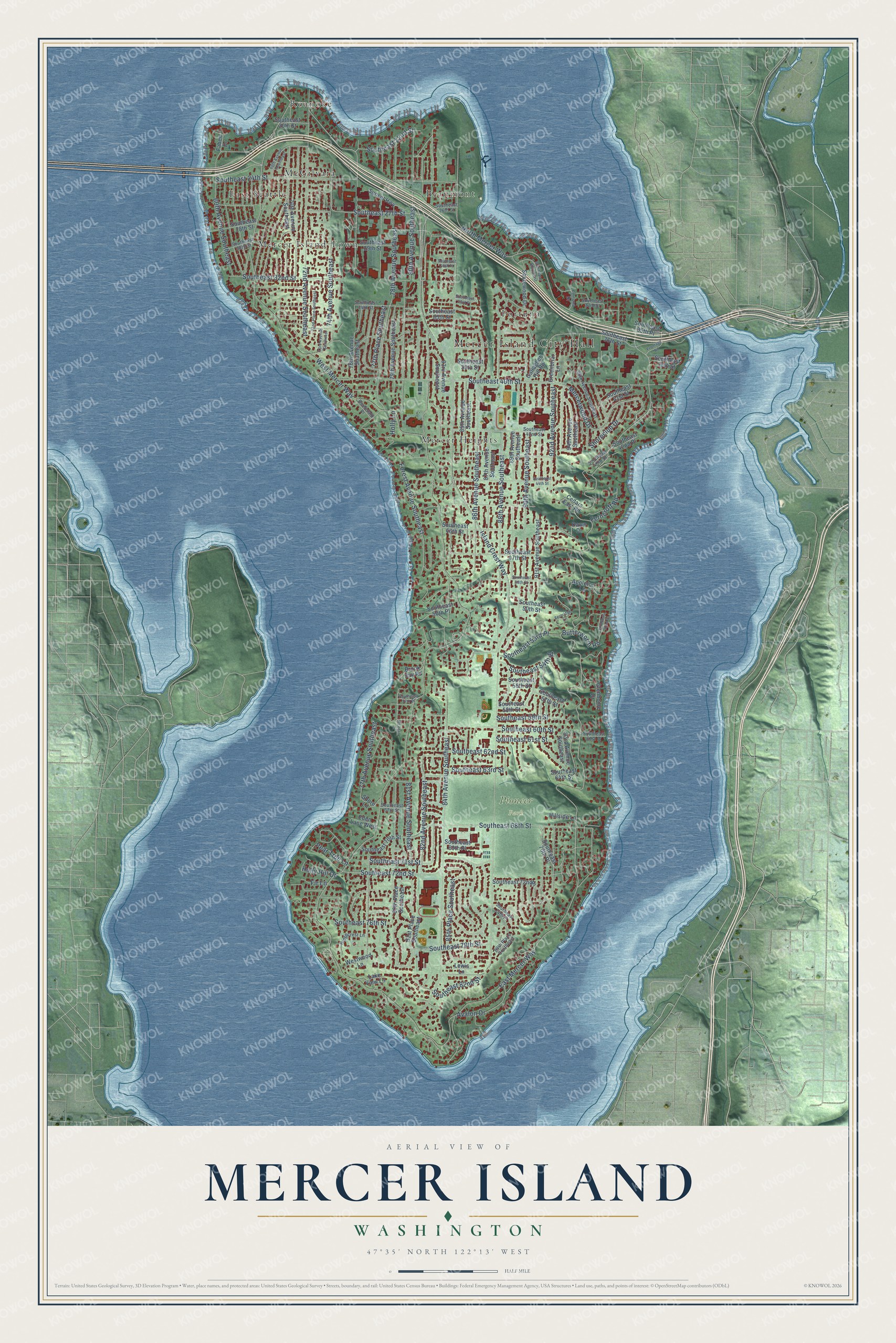
A new map of Mercer Island, Washington, made in 2026 and printed to order on thick archival matte paper.
12" x 18" Archival Matte Print
A Map of Home. A Work of Art.
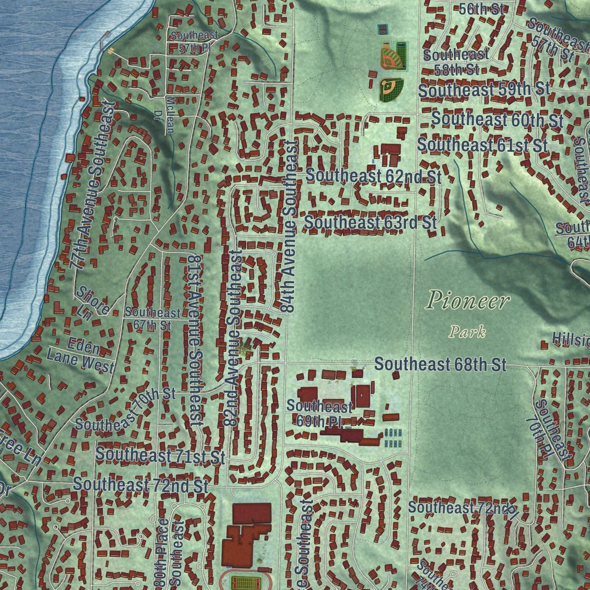
Explore Mercer Island, Washington from a whole new perspective. Created using aerial imagery and detailed geographic data, this map captures Mercer Island building by building, with labeled streets, familiar landmarks, and shaded topographical relief that highlights the natural contours of the landscape.
Combining modern data with the timeless character of a vintage atlas, this map is just as interesting up close as it is beautiful on the wall. Whether you grew up in Mercer Island, spent memorable years there, or call it home today, this unique map is a great way to celebrate a place that means something to you. Zoom in on the preview to look for your street, and then order a print to put your memories on the wall.
Three ways to hang it
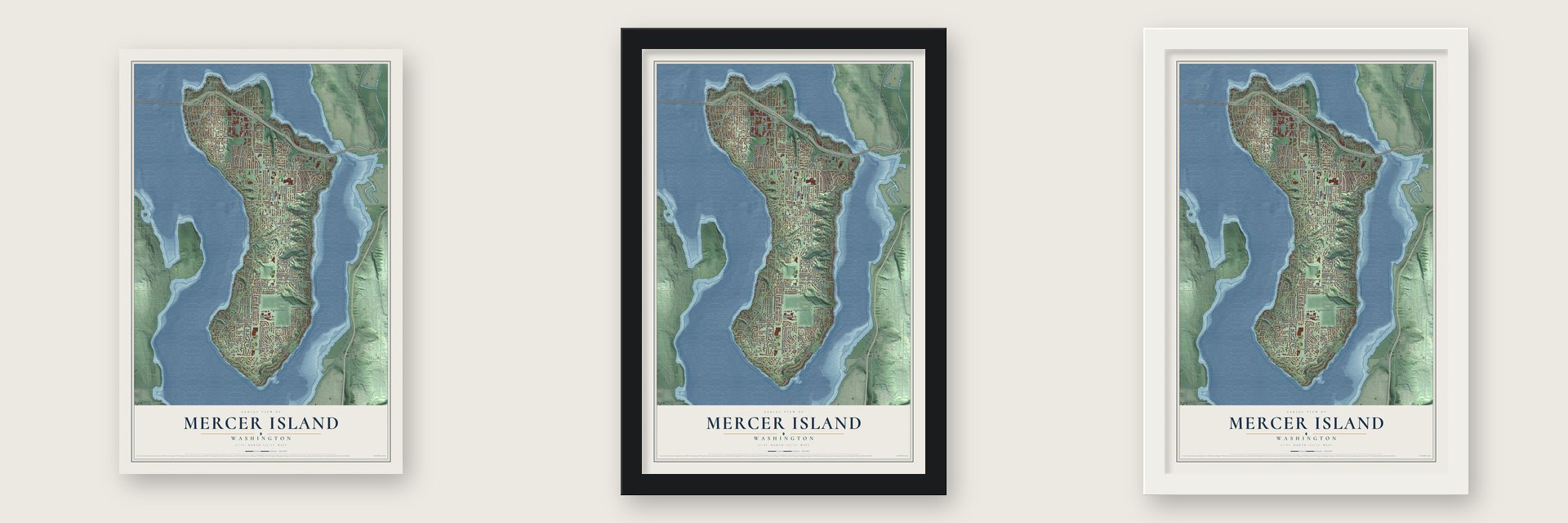
Unframed archival matte, a black wood frame or a white wood frame.
Up close
Geography Worth Displaying
This map was created using accurate cartographic data and authoritative geographic sources, including the U.S. Geological Survey and the Census Bureau. The map brings together terrain, waterways, roads, and building detail. The majority of the streets are labeled, houses are accurately depicted, and the topography is derived from government sources. Combining local data with carefully composed color and shading leads to this beautifully detailed Mercer Island artwork for your wall.
Rather than simply showing street outlines, we’ve included as many of the street names as we could reasonably fit on the map while keeping their names legible. Zoom in on the high resolution preview to see exactly what’s on the map. We truly set out to create a statement piece for anyone who loves Mercer Island. So whether it’s for you, or a gift for someone you love, we hope this map of Mercer Island brings back fond memories.
Read the story behind this map of Mercer Island, Washington from 2026.
About Mercer Island, Washington
Mercer Island is a city of 25,748 people in King County, filling an island in the southern part of Lake Washington. Two Snoqualmie settlements stood on its western side before American settlers reached Puget Sound. By 1860 the island carried the name of the Mercer family of Seattle, whose members Thomas, Aaron and Asa Mercer often rowed over to pick berries, hunt and fish. Charles and Agnes Olds became the first newcomers to stay for good in 1885, and 15 more families followed within five years.
In 1940 the first floating bridge opened to Seattle, and the island became a home for commuters. The pace quickened after the tolls ended in 1949. The island had 1,200 residents in 1940, and by 1950 it had 4,500, more than King County could serve. Residents incorporated the City of Mercer Island on July 5, 1960, leaving out the 70-acre business district, which became the separate Town of Mercer Island on August 9. After several failed tries at annexing each other, the two merged on May 19, 1970.
- The Calkins HotelCharles C. Calkins founded East Seattle, the island's first large community, on the northwest shore in 1887. He built a large, gilded resort there, the Calkins Hotel, which guests reached by steamboat ferry from Madison Park, Leschi Park and the Eastside. President Benjamin Harrison was among its visitors. A mysterious fire burned the hotel, and it was torn down in 1908, but the ferry landing kept running and helped a lasting town take root.
- Bridges since 1923A wooden East Channel Bridge first tied the island to Bellevue in 1923, and a concrete span replaced it in the 1930s. In 1930 George W. Lightfoot asked for a bridge to Seattle, and the Lacey V. Murrow Memorial Bridge opened in 1940. It ranks second in length among the world's floating bridges. The Homer M. Hadley Memorial Bridge was built beside it in 1989, and all three now carry Interstate 90.
- Forests under the lakeThe retreating ice of the Vashon Glaciation shaped the island, leaving a plateau down its middle and a series of ravines. Its highest point, near Rotary Park, stands 394 feet above sea level. Earthquakes on the Seattle Fault, which crosses the north end, once set off landslides that carried old-growth trees into two parts of Lake Washington, now called sunken forests.
- Islanders of noteMicrosoft co-founder Paul Allen, Seattle Times publisher Frank Blethen and Ann Dunham, mother of President Barack Obama, all have Mercer Island ties. So does Jean Enersen, the longtime KING-TV anchor who was the first woman to anchor local news in the country.
Find your street
Names on the Mercer Island map
Every name below is printed on this map. Look for your street, your school, the park where you played, or the pond down the road.
Places and landmarks9
- Mercer Island City Hall
- Pioneer Park
- Beaumont
- East Seattle
- Fortuna
- McGilvara
- Mercer Heights
- Mercer Island Town
- Roanoke
Streets and roads124
- 84th Avenue Southeast
- 80th Avenue Southeast
- Mercerwood Drive
- East Mercer Way
- North Mercer Way
- 81st Avenue Southeast
- Southeast 22nd Street
- Southeast 27th Street
- West Mercer Way
- Island Crest Way
- 78th Avenue Southeast
- 86th Avenue Southeast
- 90th Avenue Southeast
- 92nd Avenue Southeast
- Southeast 40th Street
- 77th Avenue Southeast
- 82nd Avenue Southeast
- 72nd Avenue Southeast
- 88th Avenue Southeast
- Forest Avenue Southeast
- Southeast 71st Street
- Southeast 24th Street
- Southeast 32nd Street
- 74th Avenue Southeast
- Southeast 68th Street
- Southeast 72nd Street
- Southeast 53rd Place
- 60th Avenue Southeast
- Southeast 76th Street
- Southeast 78th Street
Show all 124 streets
- Southeast 61st Street
- Southeast 60th Street
- Southeast 59th Street
- 85th Place Southeast
- Southeast 62nd Street
- Southeast 54th Street
- Southeast 82nd Street
- Holly Lane
- Avalon Drive
- 77th Place Southeast
- Shoreclub Drive
- Southeast 63rd Street
- Butterworth Road
- Pear Tree Lane
- Ferncroft Road
- Holly Hill Drive
- Fir Lane
- 81st Place Southeast
- 70th Avenue Southeast
- Southeast 70th Place
- 80th Place Southeast
- Sunset Highway
- Faben Drive
- 91st Avenue Southeast
- 76th Avenue Southeast
- Southeast 36th Street
- 93rd Avenue Southeast
- 89th Avenue Southeast
- 85th Avenue Southeast
- 79th Avenue Southeast
- Southeast 28th Street
- 94th Avenue Southeast
- 83rd Avenue Southeast
- Southeast 47th Street
- 87th Avenue Southeast
- Southeast 35th Street
- Southeast 46th Street
- Southeast 29th Street
- Southeast 41st Street
- Southeast 38th Street
- Southeast 57th Street
- Southeast 39th Street
- Southeast 72nd Place
- Southeast 58th Street
- Southeast 70th Street
- Appleton Lane
- Gallagher Hill Road
- Southeast 20th Street
- Shorewood Drive
- Southeast 64th Street
- Glenhome Drive
- Greenbriar Lane
- Southeast 35th Place
- Southeast 50th Street
- Southeast 56th Street
- Southeast 50th Place
- Westwood Lane
- Brook Bay Road
- Southeast 69th Place
- Cedars East Road
- Shore Lane
- Hillside Lane
- Southeast 42nd Place
- Lake View Lane
- Eden Lane West
- Dawn Drive
- Lewis Lane
- 96th Avenue Southeast
- Southeast 42nd Street
- Southeast 34th Street
- Southeast 30th Street
- Southeast 43rd Street
- Southeast 67th Street
- Southeast 33rd Street
- Ridgecrest Lane
- Fortuna Drive
- Southeast 74th Place
- 89th Place Southeast
- Southeast 26th Street
- Boulevard Place
- Southeast 61st Place
- Southeast 44th Street
- Southeast 33rd Place
- Southeast 52nd Street
- Southeast 48th Street
- Fernridge Lane
- 90th Place Southeast
- 73rd Avenue Southeast
- 66th Avenue Southeast
- 72nd Place Southeast
- Southeast 30th Place
- Frontage Road
- Southeast 57th Place
- McLean Drive
Names are listed as they appear on the printed map. Zoom into the product photos to find them.
The art of mapping a place
How This Map Was Made
Real places. Remarkable detail. Discover the layers that turn geographic data into a map of home.

The view from above
Aerial imagery reveals the character of the land: woodland, open fields, and the patterns of a place.

The shape of the land
Elevation data brings hills, valleys, and subtle changes in the landscape into view.

The details of home
Roads, waterways, and building footprints come together to make the map feel unmistakably local.

Geography becomes art
Considered color, shading, and typography bring the layers together in a map made for your wall.


Process illustrated with Mendon, Massachusetts. Aerial imagery: USDA NAIP. Terrain: USGS 3D Elevation Program. Map details and finished artwork: KNOWOL.
The Details
About This Print
Choose an archival matte print, or a black or white Ayous wood frame. The archival matte print is unframed.
Select your size and finish above to see the matching product image and price.
Materials & Craftsmanship
A contemporary map with the character of a classic atlas, printed on archival matte paper. Optional frames are made from Ayous wood.
Your printed map does not include the watermark shown in the full-map preview.
Shipping & Delivery
Free shipping within the United States. Every print is made to order in the USA.
Buying a gift? Add a note in your cart and we'll include it. We never put prices in the package.
Prints ship within 2 to 3 business days. Allow 7 to 10 days total from ordering for delivery. Timing may vary during holidays or periods of high order volume.
Read our shipping policy.
Returns and damaged prints
Each print is made to order. Change-of-mind refunds are not available after production.
If your print arrives damaged, misprinted or incorrect, contact support@knowol.com within 30 days of receiving it. Include your order number, photos and a description of the issue.
Read our full refund and replacement policy. For questions about your order, email support@knowol.com.
Find your town
Looking for another city?
Find a map of home in our Washington collection, or any town in the country.
Nearby
Maps of towns near Mercer Island
Know someone from one of these towns? Their map makes a great gift.
 Beaux Arts Village
, Washington
From $39.99See the map
 Newcastle
, Washington
From $39.99See the map
 Bellevue
, Washington
From $39.99See the map
More maps nearby: Medina, Clyde Hill, Bryn Mawr-Skyway, Boulevard Park and Hunts Point.