
Search for another town



Free U.S. delivery 7 to 10 days after you order
Black Diamond, Washington Map Art
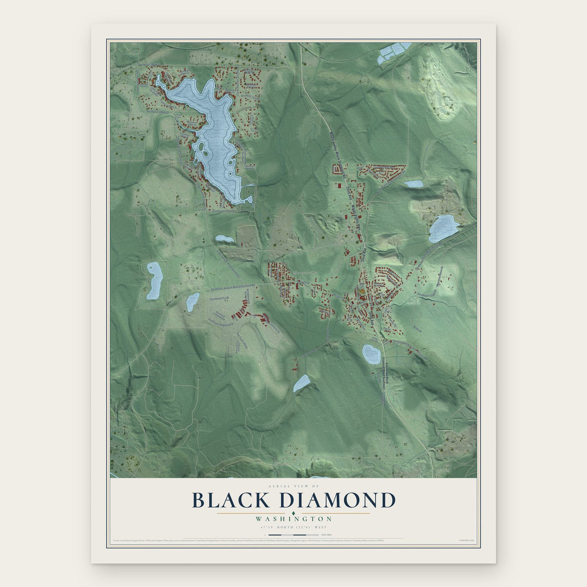
A new map of Black Diamond, Washington, made in 2026 and printed to order on thick archival matte paper.
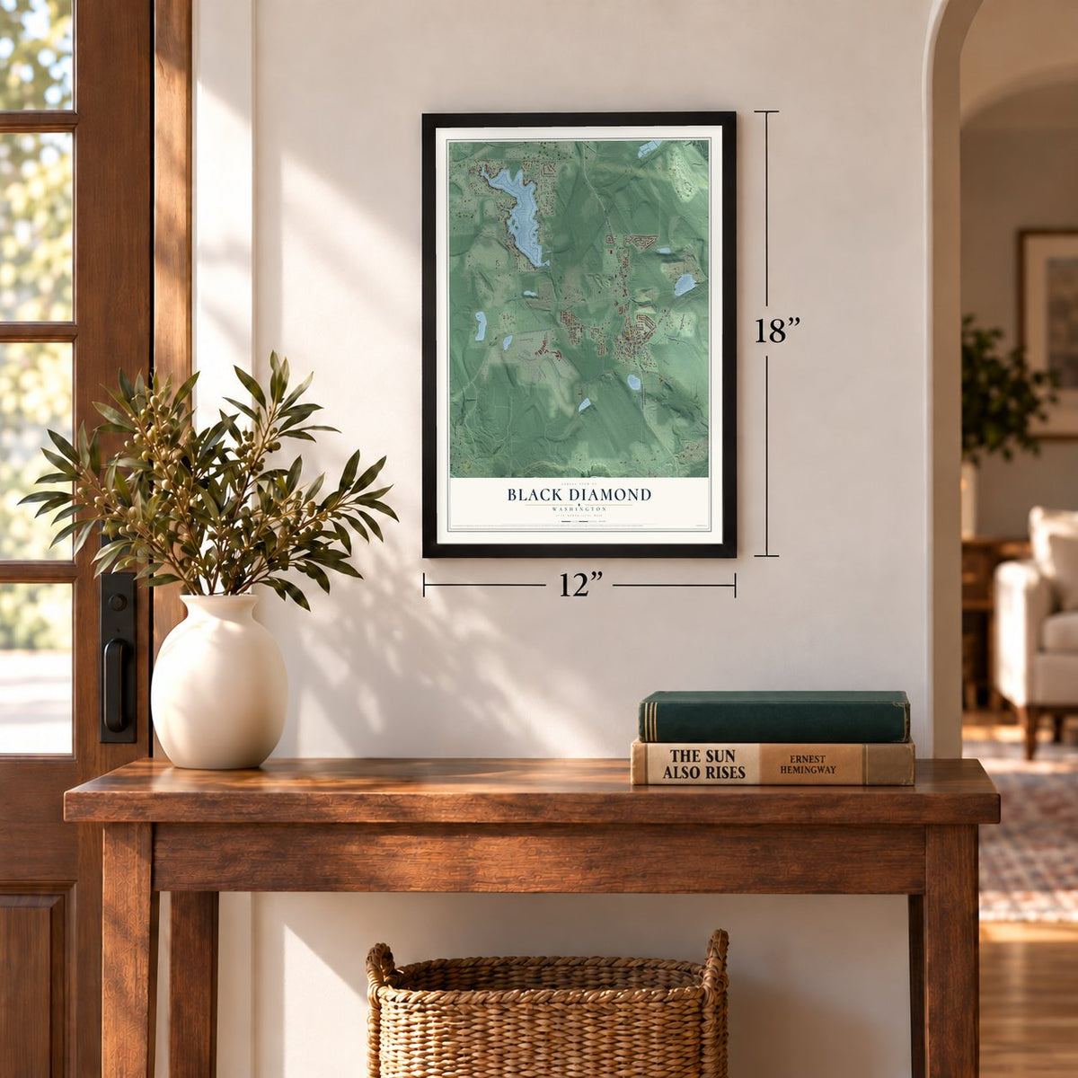
12" x 18" Archival Matte Print
A Map of Home. A Work of Art.
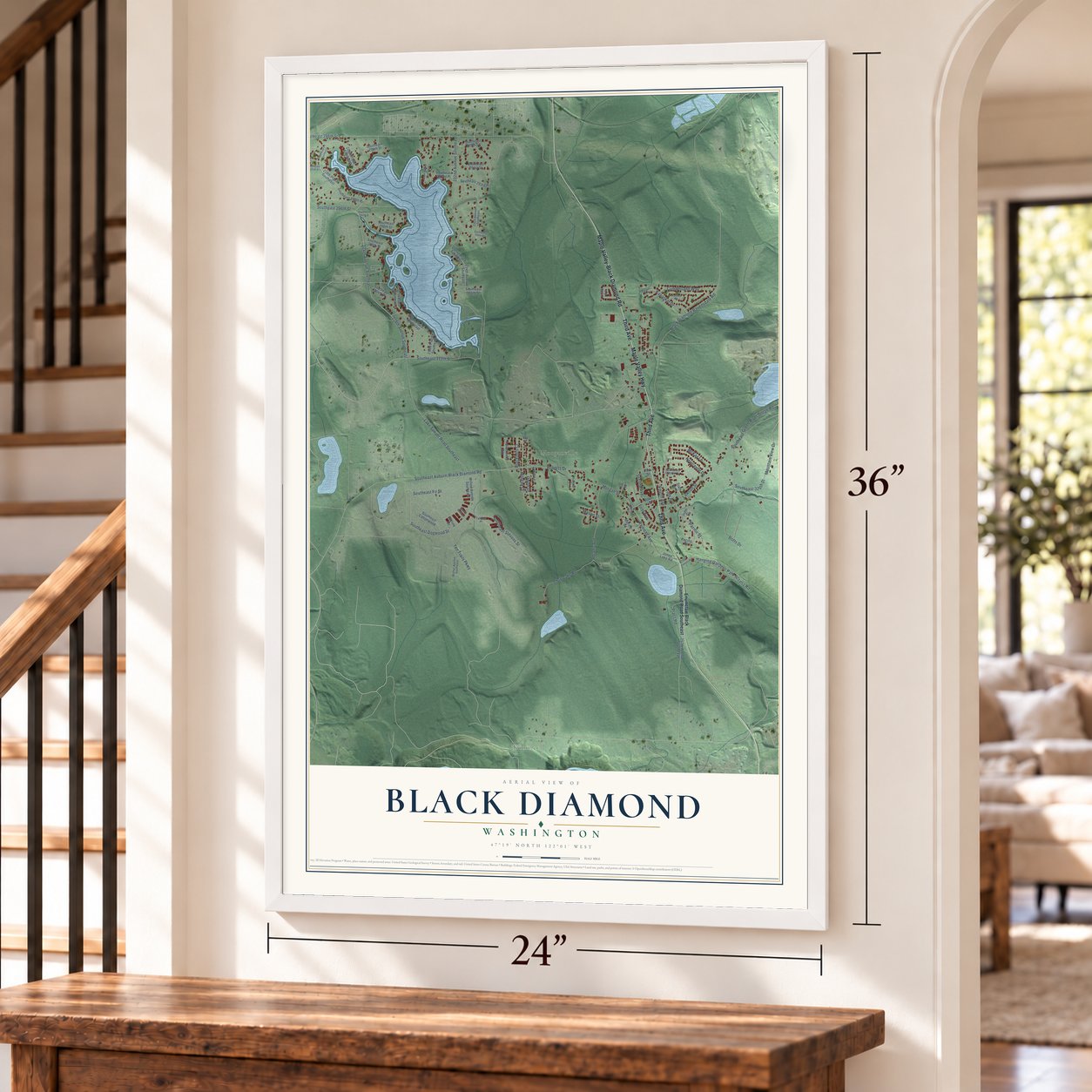
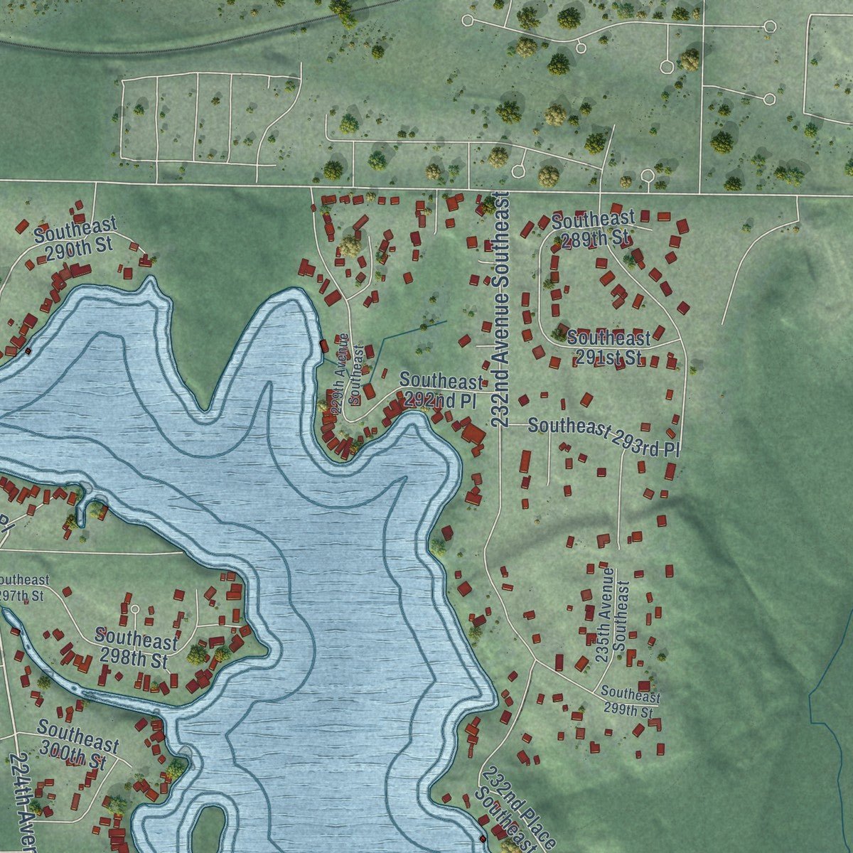
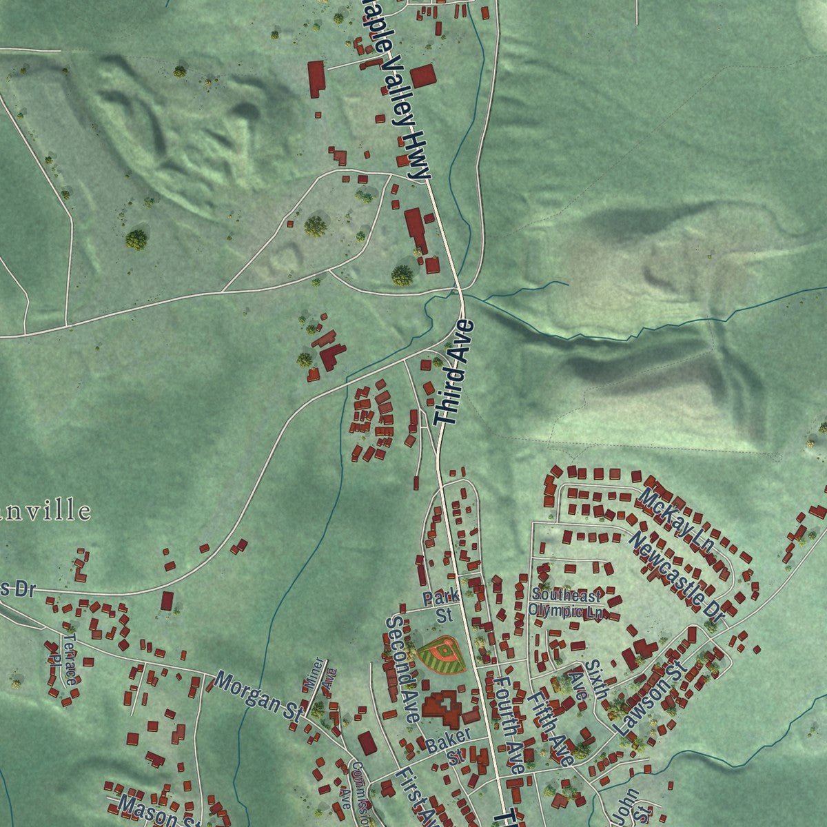
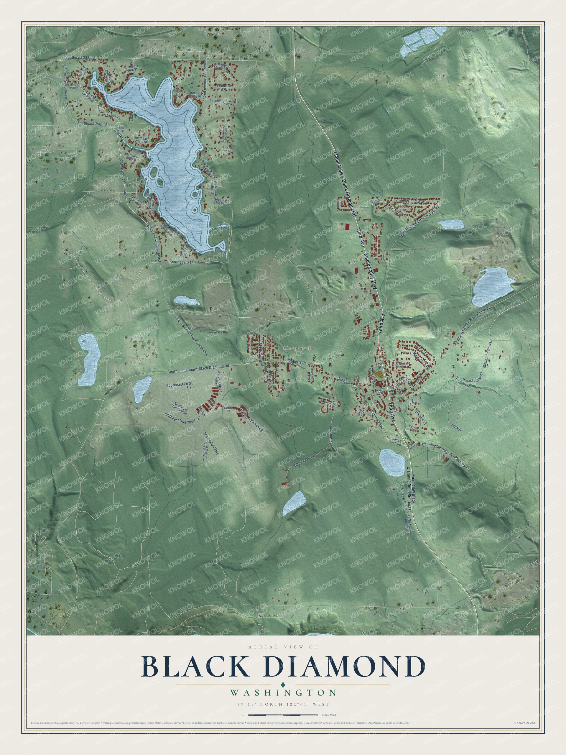
Explore Black Diamond, Washington from a whole new perspective. Created using aerial imagery and detailed geographic data, this map captures Black Diamond building by building, with labeled streets, familiar landmarks, and shaded topographical relief that highlights the natural contours of the landscape.
Combining modern data with the timeless character of a vintage atlas, this map is just as interesting up close as it is beautiful on the wall. Whether you grew up in Black Diamond, spent memorable years there, or call it home today, this unique map is a great way to celebrate a place that means something to you. Zoom in on the preview to look for your street, and then order a print to put your memories on the wall.
Three ways to hang it
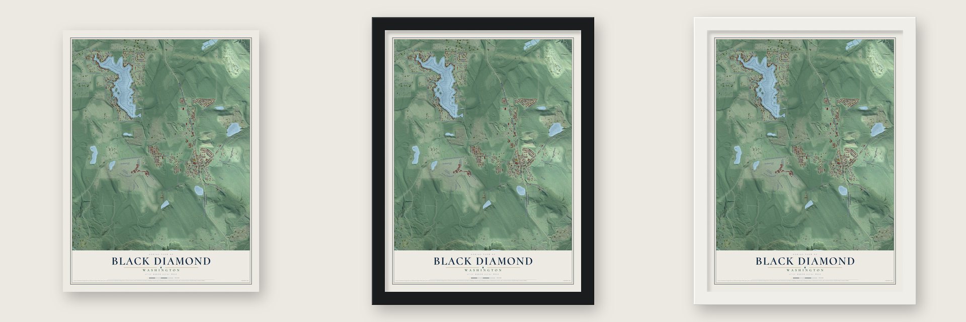
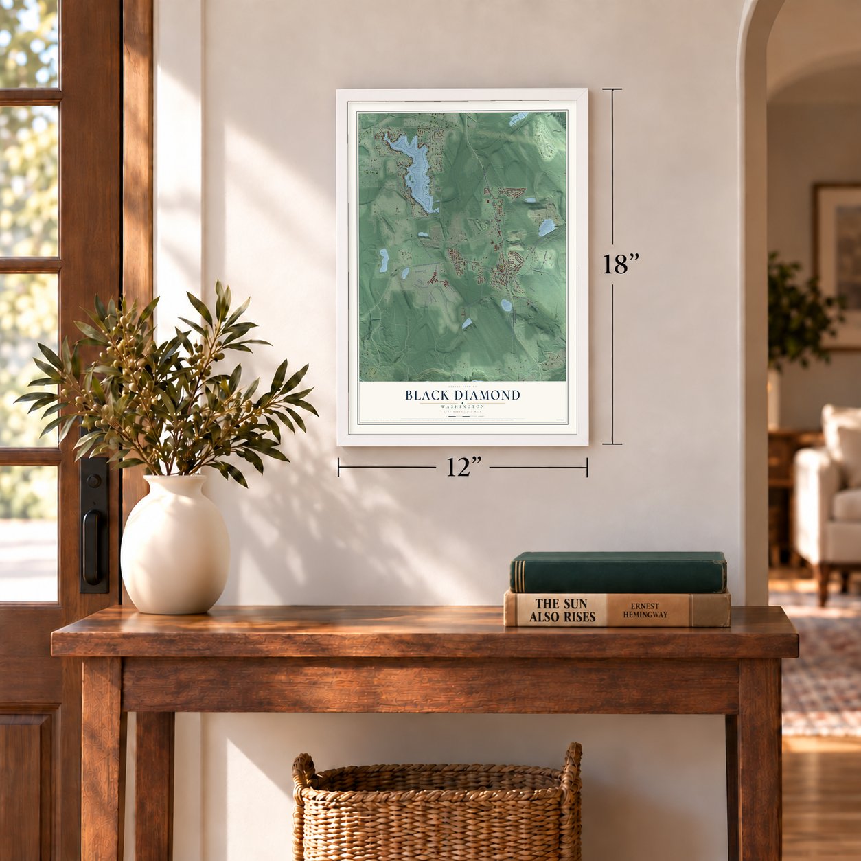
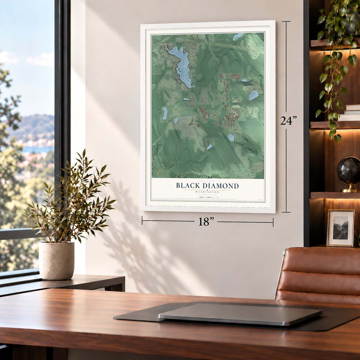
Unframed archival matte, a black wood frame or a white wood frame.
Up close
Geography Worth Displaying
This map was created using accurate cartographic data and authoritative geographic sources, including the U.S. Geological Survey and the Census Bureau. The map brings together terrain, waterways, roads, and building detail. The majority of the streets are labeled, houses are accurately depicted, and the topography is derived from government sources. Combining local data with carefully composed color and shading leads to this beautifully detailed Black Diamond artwork for your wall.
Rather than simply showing street outlines, we’ve included as many of the street names as we could reasonably fit on the map while keeping their names legible. Zoom in on the high resolution preview to see exactly what’s on the map. We truly set out to create a statement piece for anyone who loves Black Diamond. So whether it’s for you, or a gift for someone you love, we hope this map of Black Diamond brings back fond memories.
Read the story behind this map of Black Diamond, Washington from 2026.

About Black Diamond, Washington
Black Diamond is a city of 4,697 people in King County, 25 miles southeast of Seattle in the foothills of the Cascades. Its founder was a coal firm from Nortonville, California, the Black Diamond Coal Company, which built it as a company town after sending a man north when coal turned up in Washington Territory. The samples tested well, so the company sent a homesteading crew, laid a narrow gauge railroad southeast from Renton to haul in its machinery, and opened the mines by 1884 with miners and families brought up from California.
Most of those families were Welsh or Italian. Welsh miners, many from old coal mining families, took the skilled, better paid jobs, and the Welsh superintendent, Morgan Morgan, ran the town as well as the mine. The company owned nearly everything: families could buy their houses but rented the ground under them for a dollar a month, and a miner earned $1.50 for a 10-hour day. In 1904 the Pacific Coast Company of New York bought the mine and the town. Oil was pushing coal aside by the 1930s, the company town was broken up by the end of that decade, the mines were closed by 1958, and Black Diamond incorporated on February 19, 1959.
“When newlyweds came to town, a shivaree (a mock serenade made up of people banging on kettles and buckets) would follow them to their new home.”
- The union stumpIn 1907 the miners organized a local of the United Mine Workers of America, numbered 6481. When the company would not let them gather on its property near the depot, the men walked out past the town limits, and one climbed onto a stump to address the crowd. That stump served as the union's meeting place for many years. It was later encased in concrete and still survives.
- The 1921 strikeWartime demand had pushed pay to $8 a day, and when the company tried to cut it back to $7, fired outspoken miners and brought in non-union men, the miners struck in 1921. The company strung barbed wire around the mine and hired 35 guards. It also ended the land leases, so families had to sell or move their homes. The mine stayed non-union for ten years, and many strikers never mined again.
- MorganvilleTo house miners pushed off company land during the strike, the union built 200 homes on ground donated by Tim Morgan, west of Black Diamond. The houses went up fast, with little insulation, and the settlement became known as Morganville. Some of those houses are still standing.
- Around the World bazaarsBy about 1900 nearly 3,500 people of many nationalities lived here, and neighborhoods took names like Swede Town and Welsh Town. At Around the World bazaars, each neighborhood cooked the foods of its homeland while residents from the others went from house to house tasting them.
- The depot is the museumThe Black Diamond Historical Museum fills the old depot. Seattle and Walla Walla Railroad trains used it from 1884 to 1916, and Pacific Coast Railway trains from 1916 to 1951. Passenger trains stopped in 1925, but a train carried men to the mine until 1931, and coal and freight trains ran into the 1940s.
Find your street
Names on the Black Diamond map
Every name below is printed on this map. Look for your street, your school, the park where you played, or the pond down the road.
Places and landmarks2
- Kummer
- Morganville
Streets and roads91
- Third Avenue
- Maple Valley Highway
- Maple Valley-Black Diamond Road
- 224th Avenue Southeast
- 228th Avenue Southeast
- Southeast Auburn-Black Diamond Road
- Roberts Drive
- Southeast 296th Street
- Southeast 288th Street
- Fifth Avenue
- Southeast Stevens Street
- Black Diamond Ravensdale Road
- Ten Trails Parkway
- Lake Sawyer Road Southeast
- Railroad Avenue
- 232nd Avenue Southeast
- Botts Drive
- Lawson Street
- Southeast 312th Street
- Southeast Fir Street
- Morgan Street
- Hanging Gardens Park Access Road
- Abrams Avenue
- Union Drive
- Southeast Dogwood Street
- Chub Lake Road
- Morgan Drive
- Southeast Green River Gorge Road
- Fourth Avenue
- McKay Lane
Show all 91 streets
- First Avenue
- Kanaskat Drive
- Second Avenue
- Cumberland Way
- Newcastle Drive
- Mountain View Drive
- Southeast 324th Street
- Pacific Street
- Bruckners Court
- Plass Road
- Mason Street
- Enumclaw Black Diamond Road Southeast
- Southeast 295th Place
- Southeast 289th Street
- 218th Place Southeast
- 220th Place Southeast
- 232nd Place Southeast
- 234th Avenue Southeast
- 216th Avenue Southeast
- Jones Lake Road
- 257th Avenue Southeast
- Baker Street
- Southeast Cottonwood
- 229th Place Southeast
- Southeast 291st Street
- Willow Avenue Southeast
- Southeast 293rd Place
- Southeast 298th Street
- Southeast 290th Street
- Southeast 292nd Place
- Bruckners Way
- Southeast 304th Place
- Merino Street
- 227th Place Southeast
- Southeast 305th Street
- 230th Place Southeast
- Southeast 300th Street
- Sixth Avenue
- Park Street
- Pacific Place
- Lynch Lane
- Skyline Lane
- John Street
- Blaine Avenue
- Tahoma Place
- 235th Avenue Southeast
- Walnut Avenue Southeast
- Southeast 292nd Street
- Palmer Place
- Southeast Olympic Lane
- Terrace Place
- Dail Drive
- 218th Avenue Southeast
- 229th Avenue Southeast
- Commission Avenue
- Old Lawson Road
- Kanasket Drive
- Southeast 297th Street
- Southeast 299th Street
- Miner Avenue
- Glacier Basin Lane
Names are listed as they appear on the printed map. Zoom into the product photos to find them.
The art of mapping a place
How This Map Was Made
Real places. Remarkable detail. Discover the layers that turn geographic data into a map of home.

The view from above
Aerial imagery reveals the character of the land: woodland, open fields, and the patterns of a place.

The shape of the land
Elevation data brings hills, valleys, and subtle changes in the landscape into view.

The details of home
Roads, waterways, and building footprints come together to make the map feel unmistakably local.

Geography becomes art
Considered color, shading, and typography bring the layers together in a map made for your wall.


Process illustrated with Mendon, Massachusetts. Aerial imagery: USDA NAIP. Terrain: USGS 3D Elevation Program. Map details and finished artwork: KNOWOL.
The Details
About This Print
Choose an archival matte print, or a black or white Ayous wood frame. The archival matte print is unframed.
Select your size and finish above to see the matching product image and price.
Materials & Craftsmanship
A contemporary map with the character of a classic atlas, printed on archival matte paper. Optional frames are made from Ayous wood.
Your printed map does not include the watermark shown in the full-map preview.
Shipping & Delivery
Free shipping within the United States. Every print is made to order in the USA.
Buying a gift? Add a note in your cart and we'll include it. We never put prices in the package.
Prints ship within 2 to 3 business days. Allow 7 to 10 days total from ordering for delivery. Timing may vary during holidays or periods of high order volume.
Read our shipping policy.
Returns and damaged prints
Each print is made to order. Change-of-mind refunds are not available after production.
If your print arrives damaged, misprinted or incorrect, contact support@knowol.com within 30 days of receiving it. Include your order number, photos and a description of the issue.
Read our full refund and replacement policy. For questions about your order, email support@knowol.com.
Find your town
Looking for another city?
Find a map of home in our Washington collection, or any town in the country.
Nearby
Maps of towns near Black Diamond
Know someone from one of these towns? Their map makes a great gift.
 Ravensdale
, Washington
From $39.99See the map
 Maple Valley
, Washington
From $39.99See the map
 Lake Morton-Berrydale
, Washington
From $39.99See the map
More maps nearby: Lake Holm, Covington, Hobart, Shadow Lake and Enumclaw.