
Search for another town




Free U.S. delivery 7 to 10 days after you order
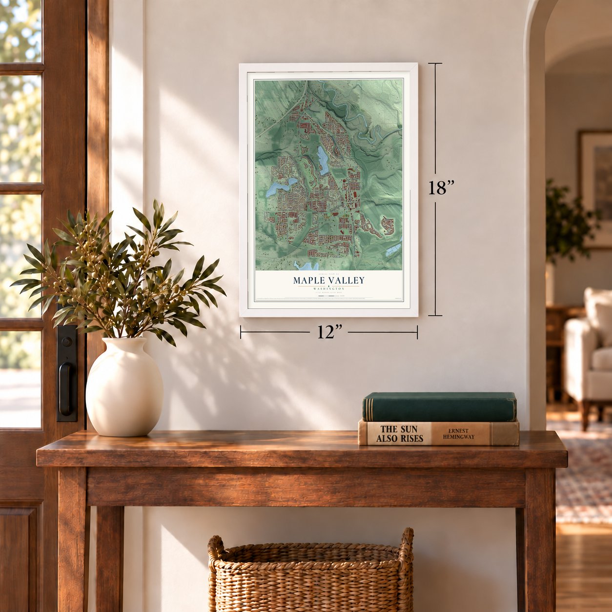
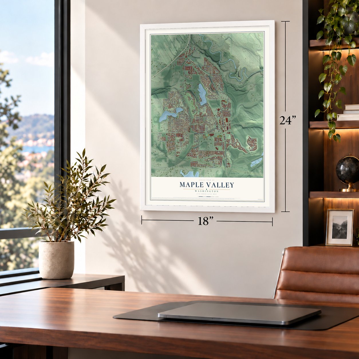
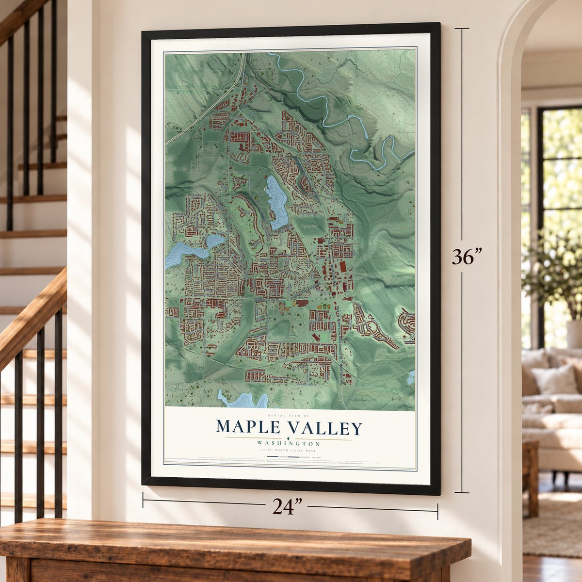
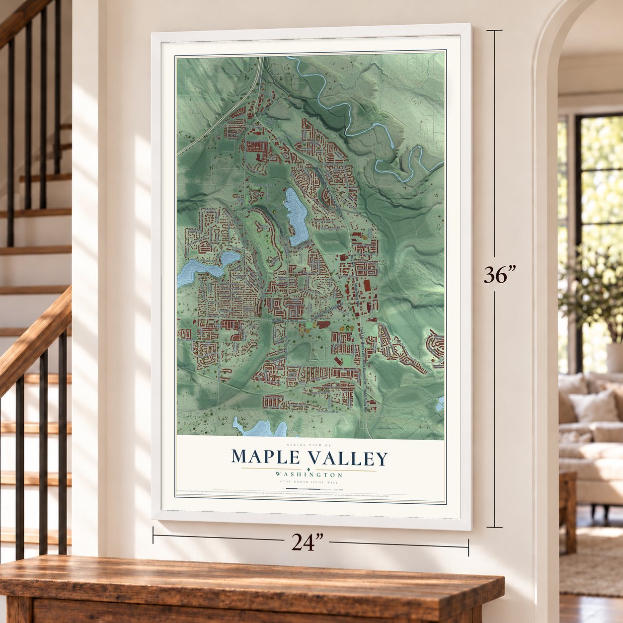
Maple Valley, Washington Map Art
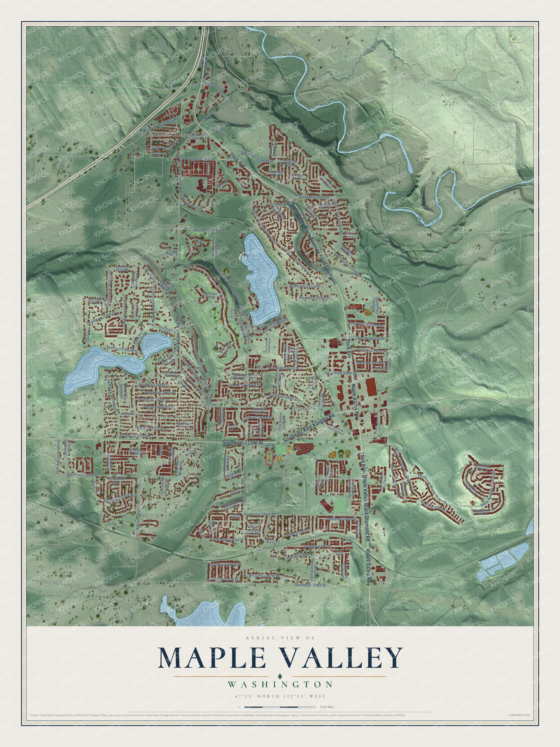
A new map of Maple Valley, Washington, made in 2026 and printed to order on thick archival matte paper.
12" x 18" Archival Matte Print
A Map of Home. A Work of Art.
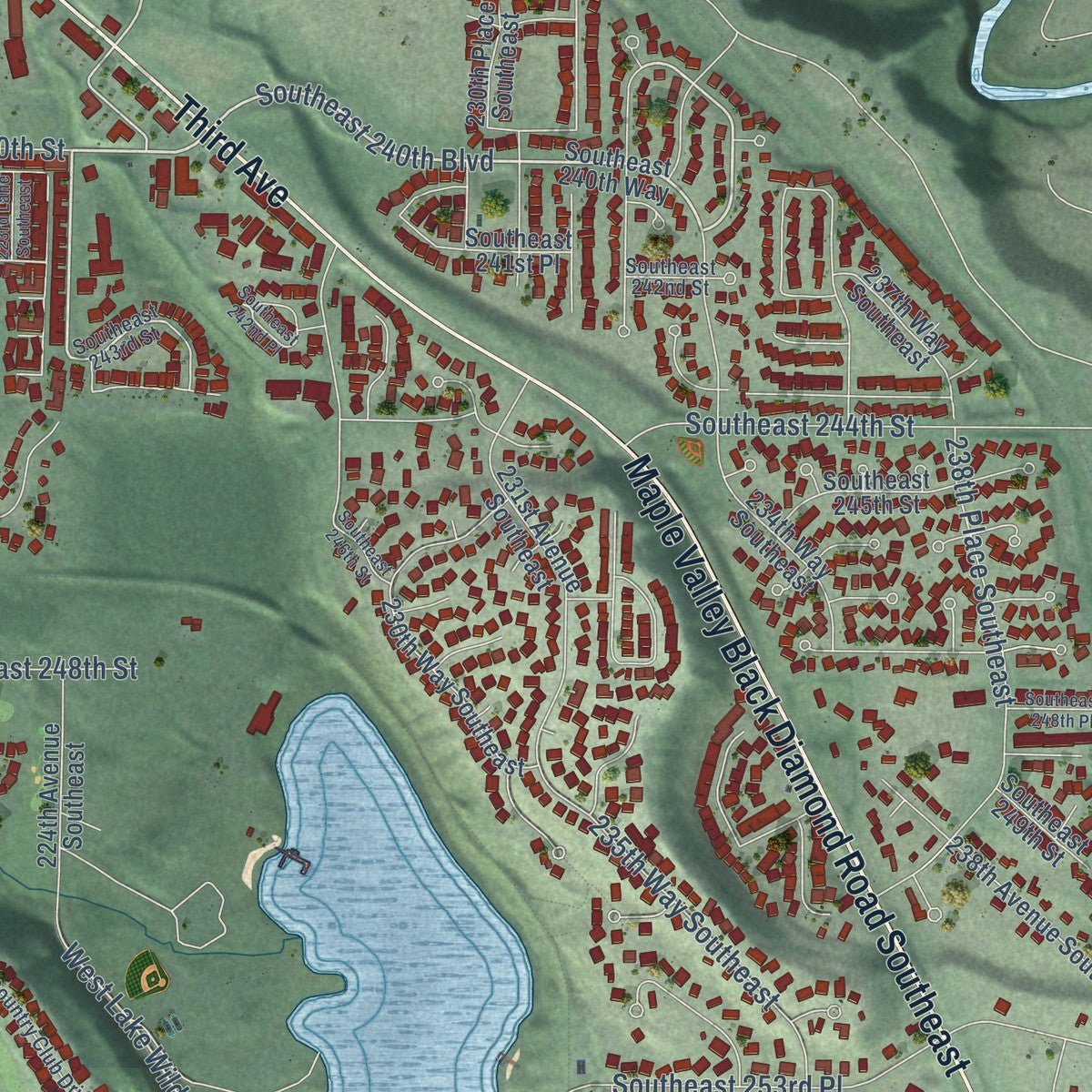
Explore Maple Valley, Washington from a whole new perspective. Created using aerial imagery and detailed geographic data, this map captures Maple Valley building by building, with labeled streets, familiar landmarks, and shaded topographical relief that highlights the natural contours of the landscape.
Combining modern data with the timeless character of a vintage atlas, this map is just as interesting up close as it is beautiful on the wall. Whether you grew up in Maple Valley, spent memorable years there, or call it home today, this unique map is a great way to celebrate a place that means something to you. Zoom in on the preview to look for your street, and then order a print to put your memories on the wall.
Three ways to hang it
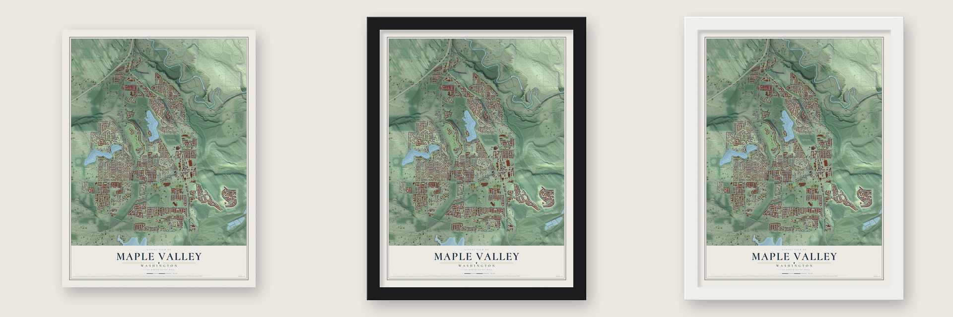
Unframed archival matte, a black wood frame or a white wood frame.
Up close
Geography Worth Displaying
This map was created using accurate cartographic data and authoritative geographic sources, including the U.S. Geological Survey and the Census Bureau. The map brings together terrain, waterways, roads, and building detail. The majority of the streets are labeled, houses are accurately depicted, and the topography is derived from government sources. Combining local data with carefully composed color and shading leads to this beautifully detailed Maple Valley artwork for your wall.
Rather than simply showing street outlines, we’ve included as many of the street names as we could reasonably fit on the map while keeping their names legible. Zoom in on the high resolution preview to see exactly what’s on the map. We truly set out to create a statement piece for anyone who loves Maple Valley. So whether it’s for you, or a gift for someone you love, we hope this map of Maple Valley brings back fond memories.
Read the story behind this map of Maple Valley, Washington from 2026.

About Maple Valley, Washington
Maple Valley is a city of 28,013 people in King County, set in the steep Cedar River valley about 10 miles southeast of Renton. George Ames, Henry Sidebotham and C.O. Russell claimed land here in 1879 and worked on a trail before moving their families in. To choose a name, Ames offered Vine Maple Valley and Russell offered Maple Ridge, and each choice went on a slip of paper dropped into a hat. Vine Maple Valley won two of the three votes, and the post office later cut the word Vine because the name ran too long.
In about 1882 Ames and Russell put up a sawmill so settlers would have lumber for houses. Fire destroyed it twice, and Ames eventually gave up and left for Pacific City, near Auburn. Russell laid out the town in 1887 and had it platted in 1890. Beginning in 1885, coal trains from Black Diamond ran through on narrow gauge track, which was widened in 1904. The Milwaukee Road arrived in 1907 and brought rail workers, and these newcomers kept the lumber mills busy. Maple Valley became a city on August 31, 1997.
“Pioneers remembered the days when the river was so thick with salmon that they could be caught easily using only spears and gaffes (and sometimes bare hands).”
- A precinct named ArthurThe first settlers agreed to name the voting precinct for the first child born in the new community. That child was Arthur Russell, so the precinct and the first post office were both called Arthur, and the post office opened in the Russell home.
- Coal from Cedar MountainBlack Diamond led the local coal trade, but Cedar Mountain, just north of town, was mined from 1884. It never matched the bigger mines nearby, yet it averaged 90,000 tons a year and gave work to hundreds of men. Mining there went on until 1947.
- Dancing at Gaffney'sLake Wilderness once had one of King County's bigger lumber mills. Tom and Kane Gaffney opened a resort there in 1925 with a ballroom, roller rink and restaurant famous for chicken dinners. During World War II gas rationing, busloads still came out to dance on Saturday nights. King County bought it for a park in 1964.
- Tahoma, named in 1926One early school stood on pilings, and boys used a plank to rock it up and down. A two-room school came in 1910 and a three-story brick school in 1920. In 1926 students named the high school Tahoma, built from the first two letters of Taylor, Hobart and Maple Valley, the three districts it served.
- The fourth crossingFor years one road ran through town, and drivers coming from Renton found Maple Valley by counting the bridges they crossed, so many called it the fourth crossing. In the early 1960s a new highway from Auburn to North Bend crossed that road in the middle of downtown, and many buildings were moved or torn down to make room.
Find your street
Names on the Maple Valley map
Every name below is printed on this map. Look for your street, your school, the park where you played, or the pond down the road.
Places and landmarks7
- Henrys
- Legacy Site
- Cherokee Bay Park
- Danville
- Summit
- Wilderness
- Wilderness Village
Streets and roads163
- Third Avenue
- Maple Valley Highway
- Maple Valley Black Diamond Road Southeast
- Southeast 272nd Street
- Maple Valley-Black Diamond Road
- Southeast Kent Kangley Road
- Southeast Maple Ridge Drive
- Southeast 260th Street
- Southeast 240th Street
- Southeast 240th Boulevard
- 212th Place Southeast
- 255th Avenue Southeast
- Southeast 239th Street
- 238th Place Southeast
- 213th Place Southeast
- Southeast 283rd Street
- Southeast 278th Way
- Maple Ridge Way Southeast
- Southeast 281st Street
- West Lake Wilderness Drive Southeast
- Witte Road Southeast
- 228th Avenue Southeast
- Southeast 276th Street
- 216th Avenue Southeast
- Southeast 268th Street
- Southeast 288th Street
- Southeast 280th Street
- Southeast 271st Place
- Southeast 264th Street
- 220th Avenue Southeast
Show all 163 streets
- Southeast 269th Street
- 217th Avenue Southeast
- Southeast 266th Street
- Southeast 271st Street
- Southeast Wax Road
- Southeast 248th Street
- Southeast 244th Street
- 222nd Avenue Southeast
- Southeast 258th Street
- Southeast 253rd Place
- Southeast 267th Street
- Whitte Road
- 235th Way Southeast
- Southeast 284 Street
- Southeast 262nd Street
- Southeast 267th Place
- Southeast 263rd Street
- Southeast 285th Street
- Southeast 266th Place
- Southeast 265th Place
- Southeast 261st Place
- Southeast 287th Street
- Southeast 286th Street
- Southeast 254th Street
- Southeast 258th Way
- Southeast 231st Street
- 214th Avenue Southeast
- 215th Place Southeast
- Southeast 240th Way
- Southeast 277th Street
- 224th Avenue Southeast
- Southeast 256th Place
- Southeast 282nd Street
- 225th Avenue Southeast
- 236th Place Southeast
- Southeast 273rd Place
- 238th Avenue Southeast
- Southeast 278th Street
- 216th Place Southeast
- 232nd Avenue Southeast
- 231st Place Southeast
- Southeast 270th Street
- 234th Avenue Southeast
- 220th Place Southeast
- 231st Avenue Southeast
- 232nd Place Southeast
- Southeast 279th Street
- 230th Place Southeast
- 222nd Place Southeast
- 227th Place Southeast
- 236th Avenue Southeast
- 239th Place Southeast
- Southeast 275th Place
- Southeast 268th Place
- 226th Avenue Southeast
- 221st Place Southeast
- 234th Way Southeast
- 240th Avenue Southeast
- 224th Place Southeast
- 237th Place Southeast
- Southeast 262nd Place
- Southeast 265th Street
- Southeast 274th Place
- Southeast 237th Street
- 219th Place Southeast
- 254th Way Southeast
- Southeast 259th Street
- Southeast 254th Place
- 245th Avenue Southeast
- Southeast 241st Place
- Southeast 245th Street
- Southeast Lake Wilderness South Drive
- 242nd Place Southeast
- Southeast 250th Place
- Southeast 263rd Place
- 243rd Place Southeast
- 207th Avenue Southeast
- 208th Avenue Southeast
- 230th Way Southeast
- Southeast 261st Street
- Southeast 244th Place
- Southeast 236th Place
- Southeast 282nd Place
- 214th Place Southeast
- Southeast 287th Place
- 237th Way Southeast
- 229th Place Southeast
- Southeast 255th Street
- Southeast 279th Place
- Southeast 264th Place
- Southeast 252nd Place
- 219th Avenue Southeast
- 212 Place Southeast
- Southeast 249th Street
- Dogwood Drive
- Southeast 277th Place
- Southeast 243rd Street
- Lake Wilderness Country Club Drive Southeast
- 235th Avenue Southeast
- 241st Avenue Southeast
- 221st Avenue Southeast
- Summit Park Way Southeast
- 244th Avenue Southeast
- Southeast 242nd Street
- 217th Place Southeast
- 223rd Place Southeast
- Southeast 281st Place
- Southeast 239th Place
- 246th Avenue Southeast
- 215th Court Southeast
- Southeast Renton Maple Valley Road
- Southeast 270th Place
- 211th Avenue Southeast
- Southeast 284 Place
- 226th Place Southeast
- 210th Avenue Southeast
- 242nd Avenue Southeast
- 230th Avenue Southeast
- Southeast 280th Place
- Southeast 273rd Street
- 236th Court Southeast
- Southeast 246th Street
- Southeast 248th Place
- Southeast 250th Street
- Southeast 242nd Place
- 215th Avenue Southeast
- Southeast 224th Avenue
- 228th Place Southeast
- Southeast 283rd Place
- Southeast 263rd
- 218th Lane Southeast
- Southeast 264th Court
- 223rd Lane Southeast
Names are listed as they appear on the printed map. Zoom into the product photos to find them.
The art of mapping a place
How This Map Was Made
Real places. Remarkable detail. Discover the layers that turn geographic data into a map of home.

The view from above
Aerial imagery reveals the character of the land: woodland, open fields, and the patterns of a place.

The shape of the land
Elevation data brings hills, valleys, and subtle changes in the landscape into view.

The details of home
Roads, waterways, and building footprints come together to make the map feel unmistakably local.

Geography becomes art
Considered color, shading, and typography bring the layers together in a map made for your wall.


Process illustrated with Mendon, Massachusetts. Aerial imagery: USDA NAIP. Terrain: USGS 3D Elevation Program. Map details and finished artwork: KNOWOL.
The Details
About This Print
Choose an archival matte print, or a black or white Ayous wood frame. The archival matte print is unframed.
Select your size and finish above to see the matching product image and price.
Materials & Craftsmanship
A contemporary map with the character of a classic atlas, printed on archival matte paper. Optional frames are made from Ayous wood.
Your printed map does not include the watermark shown in the full-map preview.
Shipping & Delivery
Free shipping within the United States. Every print is made to order in the USA.
Buying a gift? Add a note in your cart and we'll include it. We never put prices in the package.
Prints ship within 2 to 3 business days. Allow 7 to 10 days total from ordering for delivery. Timing may vary during holidays or periods of high order volume.
Read our shipping policy.
Returns and damaged prints
Each print is made to order. Change-of-mind refunds are not available after production.
If your print arrives damaged, misprinted or incorrect, contact support@knowol.com within 30 days of receiving it. Include your order number, photos and a description of the issue.
Read our full refund and replacement policy. For questions about your order, email support@knowol.com.
Find your town
Looking for another city?
Find a map of home in our Washington collection, or any town in the country.
Nearby
Maps of towns near Maple Valley
Know someone from one of these towns? Their map makes a great gift.
 Ravensdale
, Washington
From $39.99See the map
 Covington
, Washington
From $39.99See the map
 Hobart
, Washington
From $39.99See the map
More maps nearby: Shadow Lake, Black Diamond, Lake Morton-Berrydale, Maple Heights-Lake Desire and Lake Holm.