
Search for another town
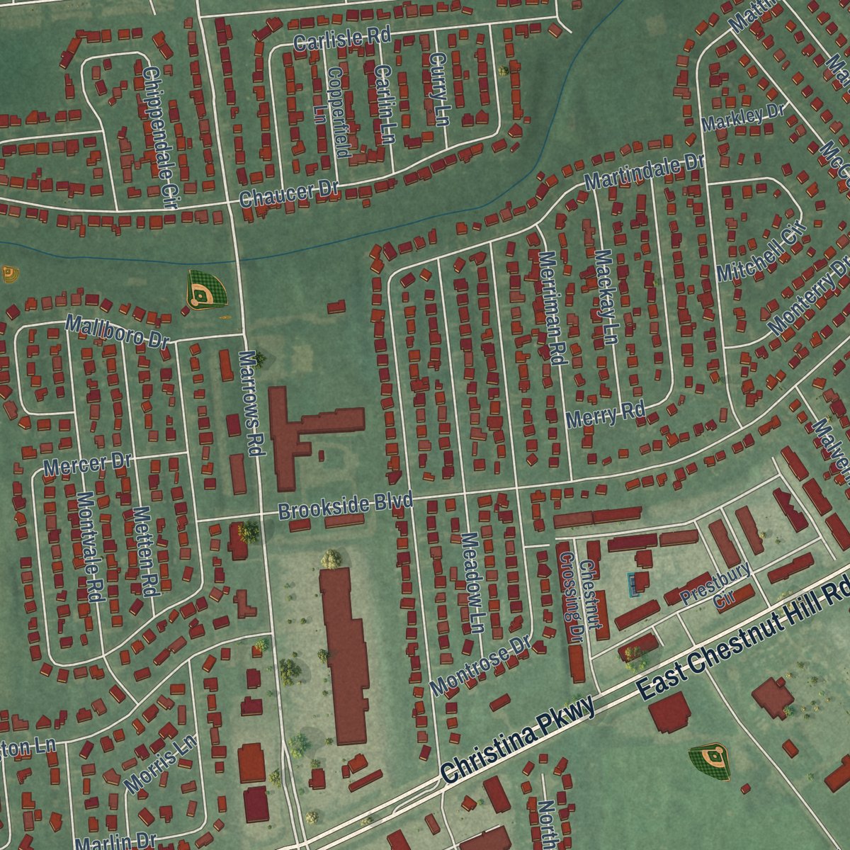
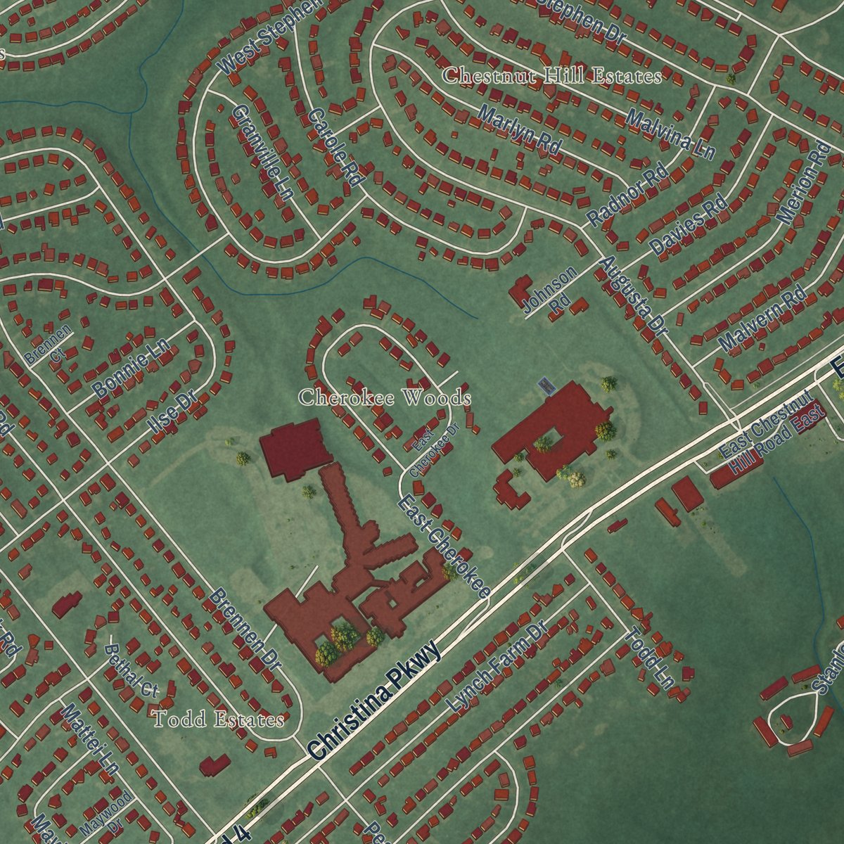
Free U.S. delivery 7 to 10 days after you order
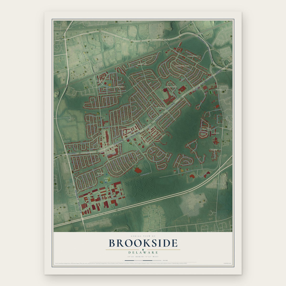
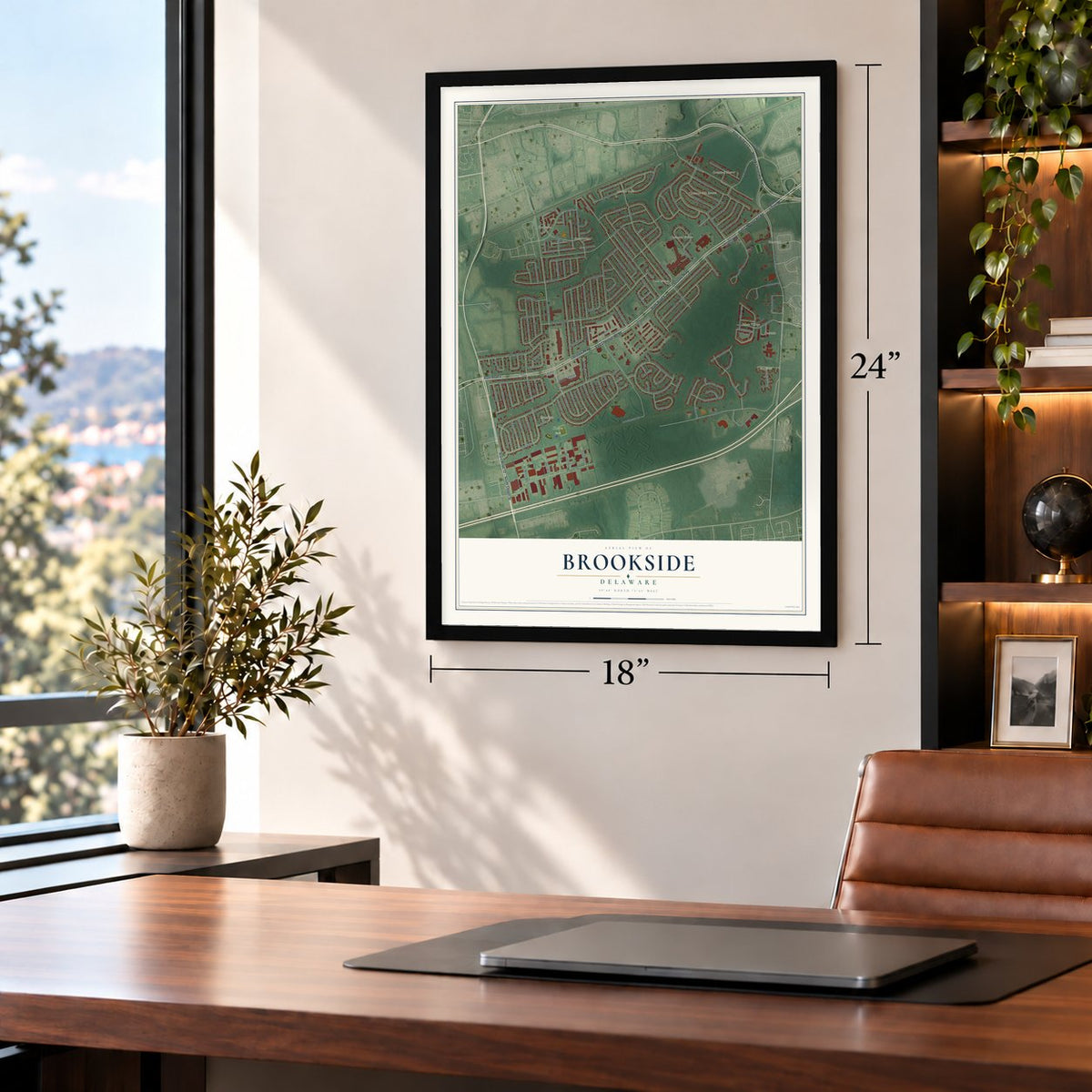
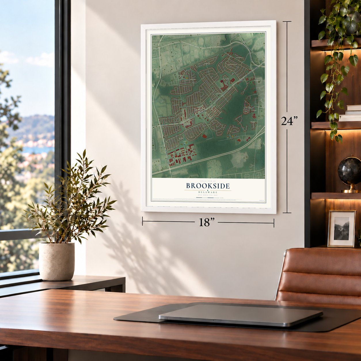
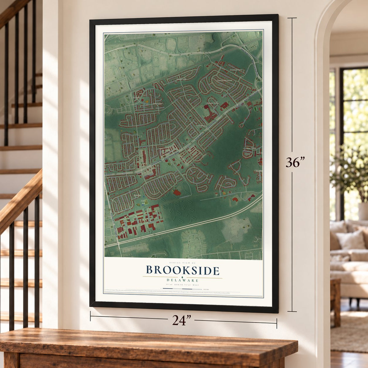
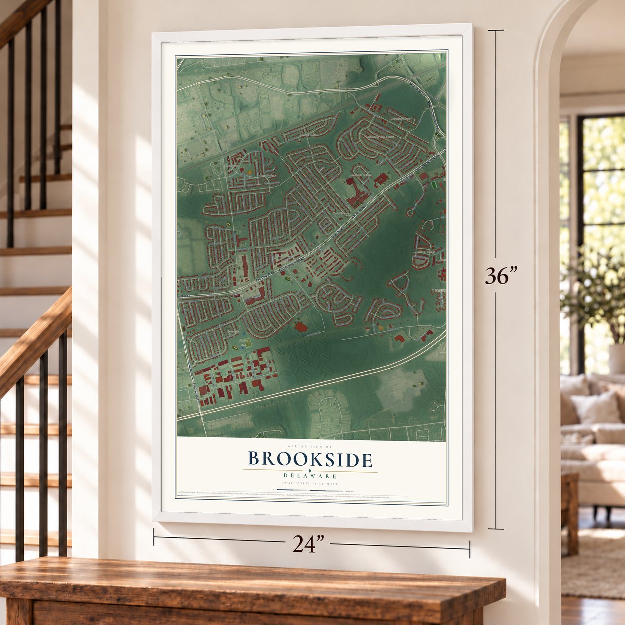
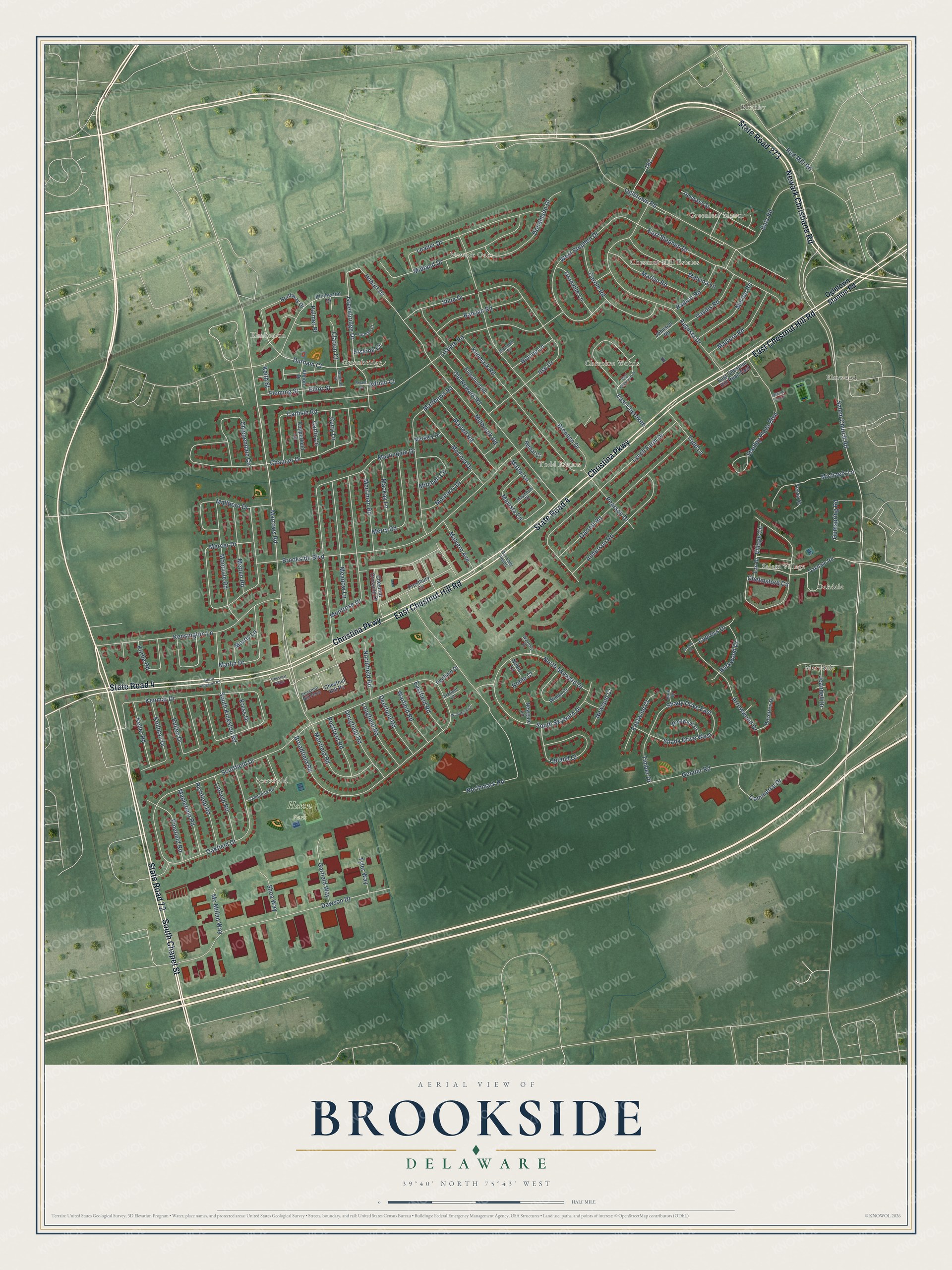
Brookside, Delaware Map Art
Building by building, with labeled streets and shaded relief.
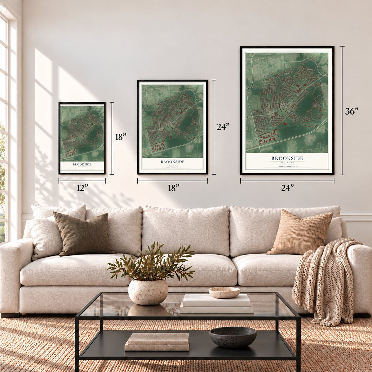
12" x 18" Archival Matte Print
A Map of Home. A Work of Art.
Explore Brookside, Delaware from a whole new perspective. Created using aerial imagery and detailed geographic data, this map captures Brookside building by building, with labeled streets, familiar landmarks, and shaded topographical relief that highlights the natural contours of the landscape.
Combining modern data with the timeless character of a vintage atlas, this map is just as interesting up close as it is beautiful on the wall. Whether you grew up in Brookside, spent memorable years there, or call it home today, this unique map is a great way to celebrate a place that means something to you. Zoom in on the preview to look for your street, and then order a print to put your memories on the wall.
Three ways to hang it
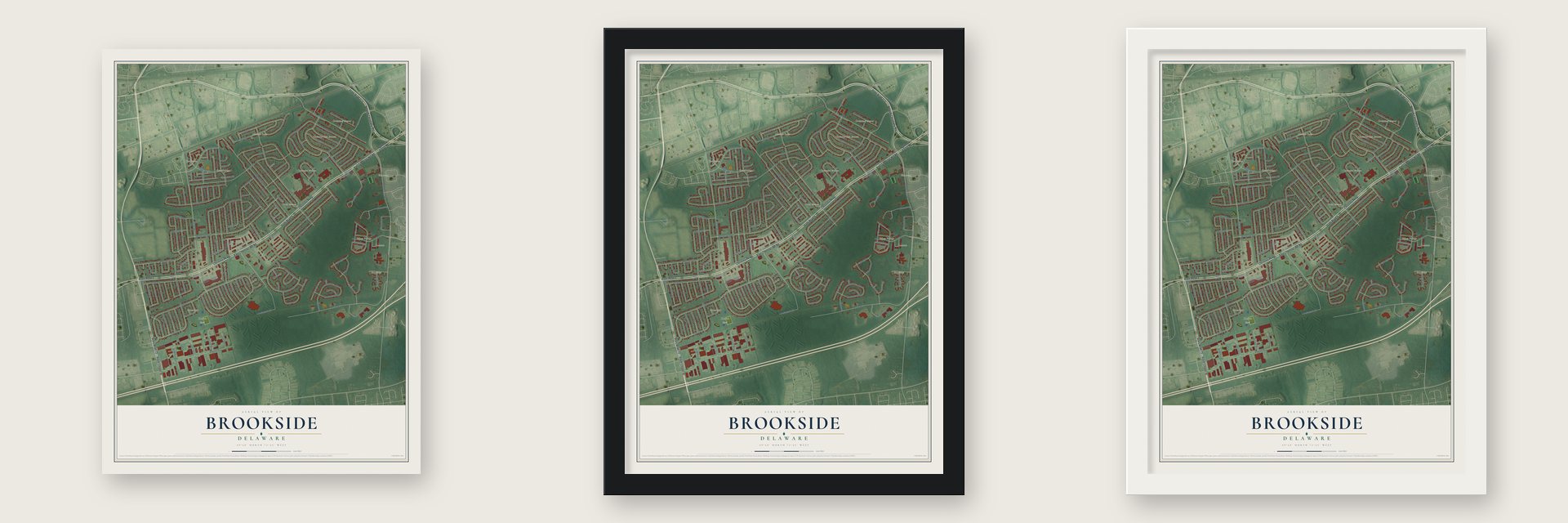
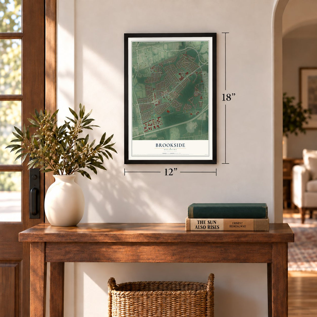
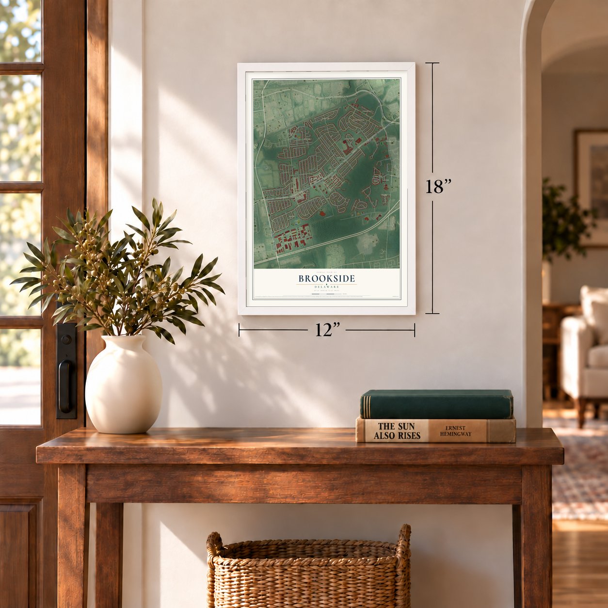
Unframed archival matte, a black wood frame or a white wood frame.
Up close
Geography Worth Displaying
This map was created using accurate cartographic data and authoritative geographic sources, including the U.S. Geological Survey and the Census Bureau. The map brings together terrain, waterways, roads, and building detail. The majority of the streets are labeled, houses are accurately depicted, and the topography is derived from government sources. Combining local data with carefully composed color and shading leads to this beautifully detailed Brookside artwork for your wall.
Rather than simply showing street outlines, we’ve included as many of the street names as we could reasonably fit on the map while keeping their names legible. Zoom in on the high resolution preview to see exactly what’s on the map. We truly set out to create a statement piece for anyone who loves Brookside. So whether it’s for you, or a gift for someone you love, we hope this map of Brookside brings back fond memories.
Read the story behind this map of Brookside, Delaware from 2026.
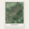
Find your street
Names on the Brookside map
Every name below is printed on this map. Look for your street, your school, the park where you played, or the pond down the road.
Places and landmarks14
- Hann Park
- Ruthby
- Marydale
- Kimberton
- Cherokee Woods
- Elmwood
- Todd Estates
- Greenleaf Manor
- Newark Oaks
- Oakdale
- Chestnut Hill Estates
- Greenbridge
Show all 14 places
- Salem Village
- Scottfield
Streets and roads166
- Newark Christiana Road
- South Chapel Street
- State Road 72
- Christina Parkway
- State Road 4
- East Chestnut Hill Road
- State Road 273
- Marrows Road
- Durham Court
- Salem Church Road
- Greenbridge Drive
- Village Circle
- Hobart Drive
- Scottfield Drive
- Gender Road
- Old Newark Road
- Brookside Boulevard
- Kenmar Drive
- Martindale Drive
- Brennen Drive
- Broadfield Road
- Chaucer Drive
- Mercer Drive
- Dawson Drive
- Augusta Drive
- Lynch Farm Drive
- Ogletown Road
- West Stephen Drive
- Kensington Lane
- Kenmark Road
Show all 166 streets
- Garrett Road
- Midland Drive
- Shue Drive
- Matthews Road
- Stanley Plaza Boulevard
- East Stephen Drive
- Oakfield Drive
- Leader Drive
- Montrose Drive
- Arrowwood Drive
- South Skyward Drive
- Lisbeth Road
- Anderson Road
- Carlisle Road
- Chelmsford Circle
- Bala Road
- Upland Court
- Meadow Lane
- Kullen Drive
- Ilse Drive
- Carole Road
- Montvale Road
- North Skyward Drive
- Millbrook Road
- Chippendale Circle
- Donaldson Drive
- Mallboro Drive
- Manfield Road
- Merry Road
- Red Mill Road
- Shady Drive West
- Malvina Lane
- Michaels Lane
- McCord Drive
- Banyan Road
- Marlyn Road
- Marlin Drive
- Martell Road
- Gumspring Road
- Mavista Circle
- Metten Road
- Kollman Drive
- Malvern Road
- South Kingston Road
- Merriman Road
- Shady Drive East
- Merion Road
- Dougfield Road
- Malvern Avenue
- Commerce Drive
- Pearson Drive
- Longfield Road
- Mackay Lane
- Korda Road
- Todd Lane
- Davies Road
- Mitchell Circle
- Maplefield Road
- Richfield Road
- Linfield Road
- Deerfield Road
- Keller Road
- Garfield Way
- Monterry Drive
- Pinefield Road
- Eastwind Court
- Postfield Road
- Radnor Road
- Warfield Road
- Granville Lane
- Northmark Road
- Northfield Road
- Mattei Lane
- Eastfield Road
- Burkwood Drive
- Shea Way
- East Cherokee
- Bonnie Lane
- Timber Drive
- Cypress Drive
- Clarion Court
- Mc Millan Way
- Tyler Way
- Jeandell Drive
- Morris Lane
- Elliot Street
- Carlin Lane
- Fleming Street
- Newland Court
- Curry Lane
- Kress Drive
- Palmer Place
- Erskine Court
- Keith Street
- Noble Court
- Adrian Court
- Ogletown Stanton Road
- Chestnut Crossing Drive
- Chestnut Hill Pz
- Kimberton Drive
- Dempsey Street
- Elderfield Road
- Oakdale Road
- Windy Court
- East Chestnut Hill Road East
- Copperfield Lane
- Albion Drive
- Dovetree Drive
- Johnson Road
- Prestbury Circle
- Westwind Court
- Northway Drive
- Markley Drive
- Tessa Court
- Penfield Drive
- Bethal Court
- Newgate Lane
- Noble Lane
- Lan Drive
- Campfield Road
- Chestnut Hill Plaza
- Maywood Drive
- Furman Court
- Waverly Drive
- Jamison Street
- Our Lady Peace
- Arkfield Court
- Brennen Court
- Bark Drive
- East Cherokee Drive
- North Kingston Road
- Woodfield Court
- Chesmar Plaza
- Edward Lee Court
- Bryant Court
- Cherry Court
Names are listed as they appear on the printed map. Zoom into the product photos to find them.
About Brookside, Delaware
Brookside is a community of 14,974 people in New Castle County, counted as a census-designated place in the 2020 census. Its oldest landmark is the Robert Ferguson House, a home that grew in three stages between the late eighteenth century and the twentieth century. Brookside is also home to the Delaware School for the Deaf, and its public schools belong to the Christina School District.
- The Robert Ferguson HouseThe Robert Ferguson House is on the National Register of Historic Places. Builders worked on it in three separate periods: the late eighteenth century, the early nineteenth century and the twentieth century. Each part of the house shows the building methods of its own time.
- Delaware School for the DeafThe Delaware School for the Deaf is in Brookside. Brookside Elementary School, which carries the community's name, is one of the Christina School District schools that serve its families.
Keep exploring Delaware
Brookside is one of 94 Delaware towns we've mapped. Every dot on the map is a print of its own.
The search covers every state, Delaware first.
Near Brookside
Order 2 or more town maps and save 10%. Shown in the size and finish you picked above, so they hang as a set.
- Wilson 12" x 18" / Archival Matte Print $39.99
- Newark 12" x 18" / Archival Matte Print $39.99
- Meadowood 12" x 18" / Archival Matte Print $39.99
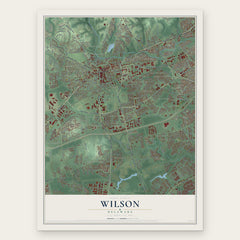
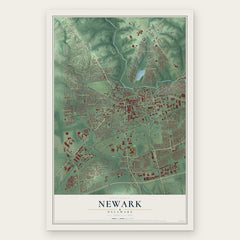
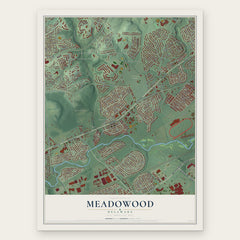
More maps nearby: Bear, Heritage, Pleasantville, Pike Creek Valley and Christiana.
The art of mapping a place
How This Map Was Made
Real places. Remarkable detail. Discover the layers that turn geographic data into a map of home.

The view from above
Aerial imagery reveals the character of the land: woodland, open fields, and the patterns of a place.

The shape of the land
Elevation data brings hills, valleys, and subtle changes in the landscape into view.

The details of home
Roads, waterways, and building footprints come together to make the map feel unmistakably local.

Geography becomes art
Considered color, shading, and typography bring the layers together in a map made for your wall.


Process illustrated with Mendon, Massachusetts. Aerial imagery: USDA NAIP. Terrain: USGS 3D Elevation Program. Map details and finished artwork: KNOWOL.
The Details
About This Print
Choose an archival matte print, or a black or white Ayous wood frame. The archival matte print is unframed.
Select your size and finish above to see the matching product image and price.
Materials & Craftsmanship
A contemporary map with the character of a classic atlas, printed on archival matte paper. Optional frames are made from Ayous wood.
Your printed map does not include the watermark shown in the full-map preview.
Shipping & Delivery
Free shipping within the United States. Every print is made to order in the USA.
Buying a gift? Add a note in your cart and we'll include it. We never put prices in the package.
Prints ship within 2 to 3 business days. Allow 7 to 10 days total from ordering for delivery. Timing may vary during holidays or periods of high order volume.
Read our shipping policy.
Returns and damaged prints
Each print is made to order. Change-of-mind refunds are not available after production.
If your print arrives damaged, misprinted or incorrect, contact support@knowol.com within 30 days of receiving it. Include your order number, photos and a description of the issue.
Read our full refund and replacement policy. For questions about your order, email support@knowol.com.