
Search for another town
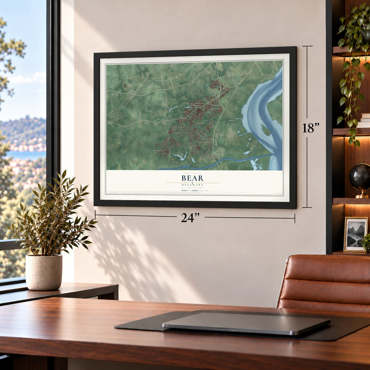
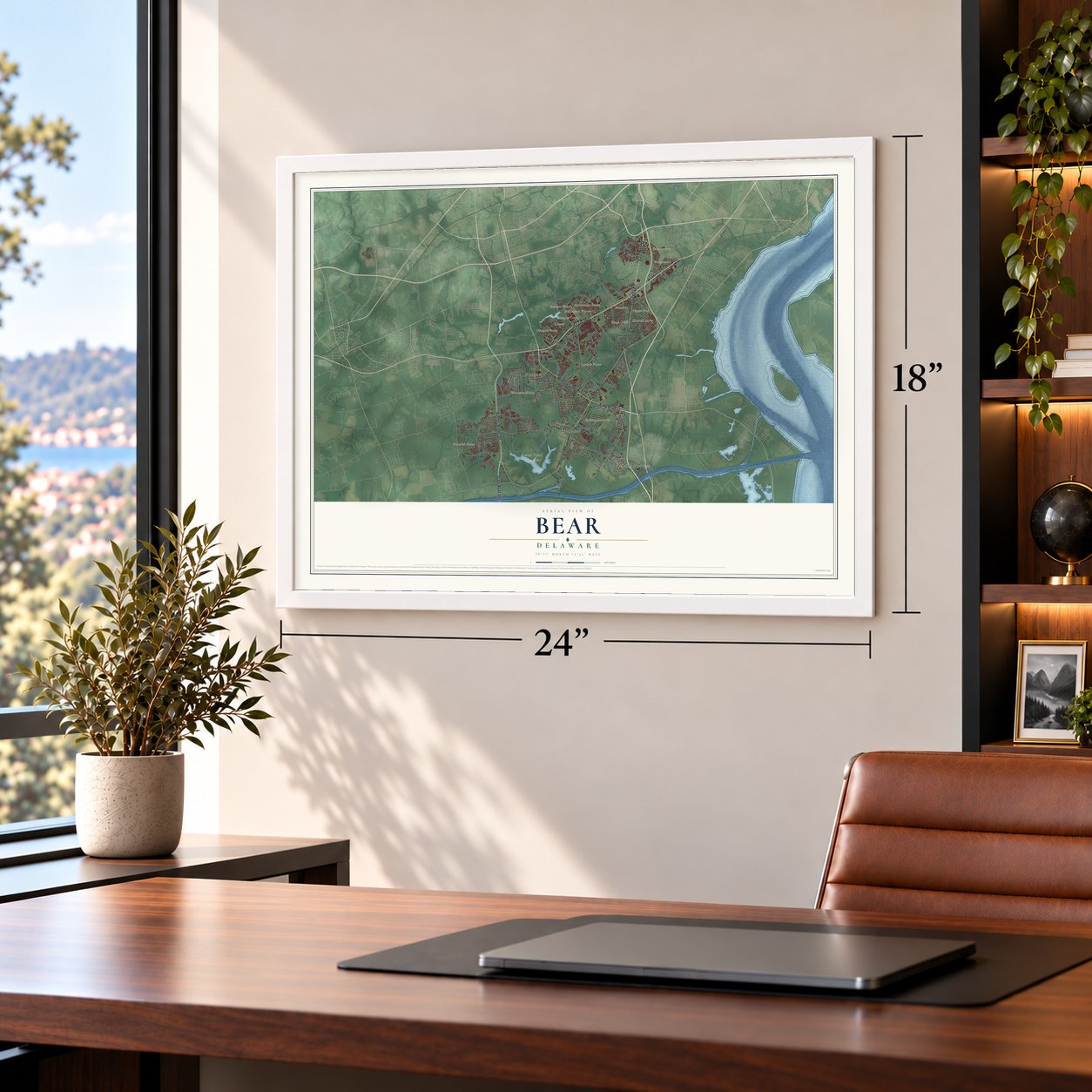
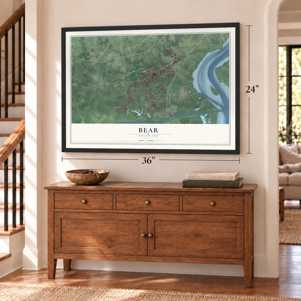
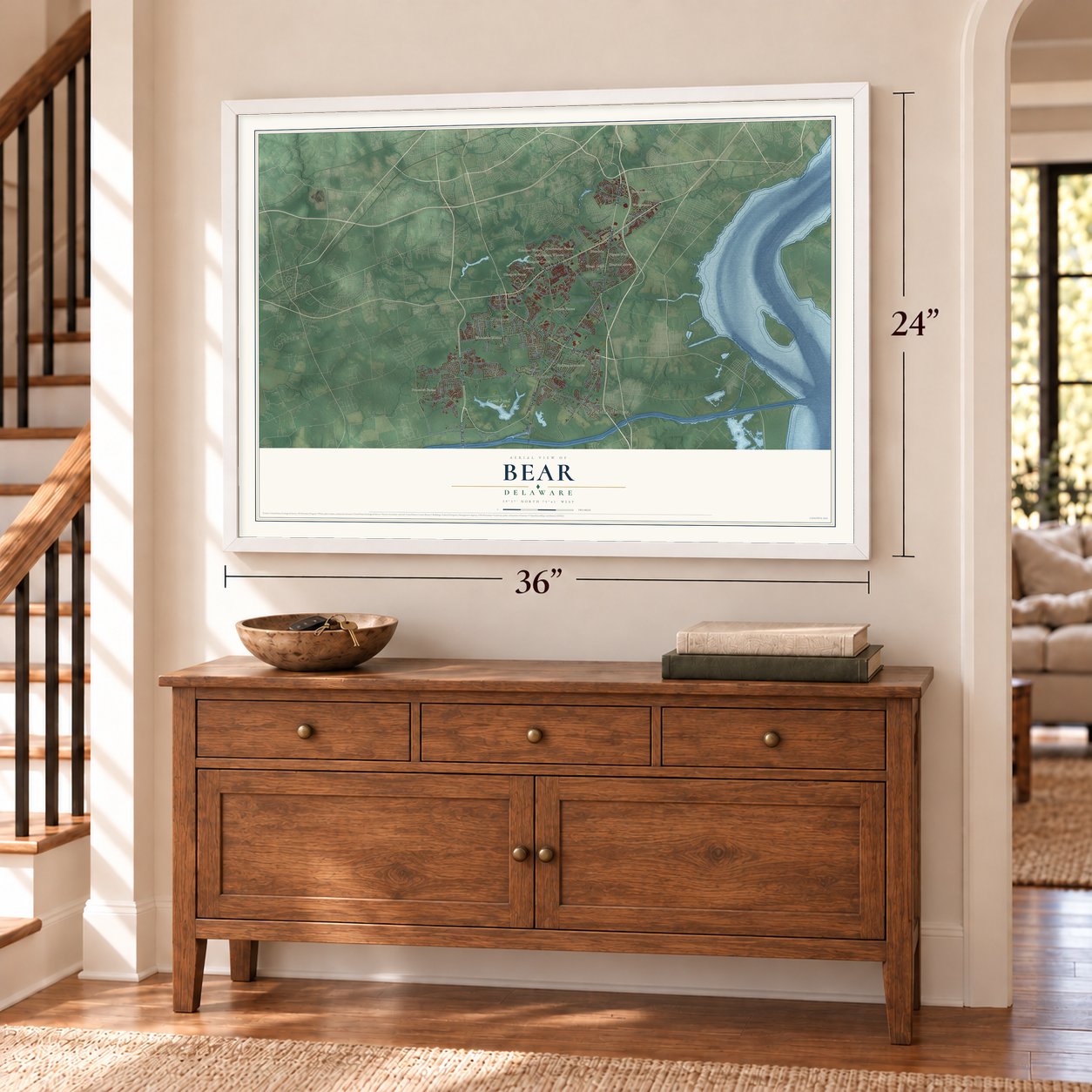
Free U.S. delivery 7 to 10 days after you order
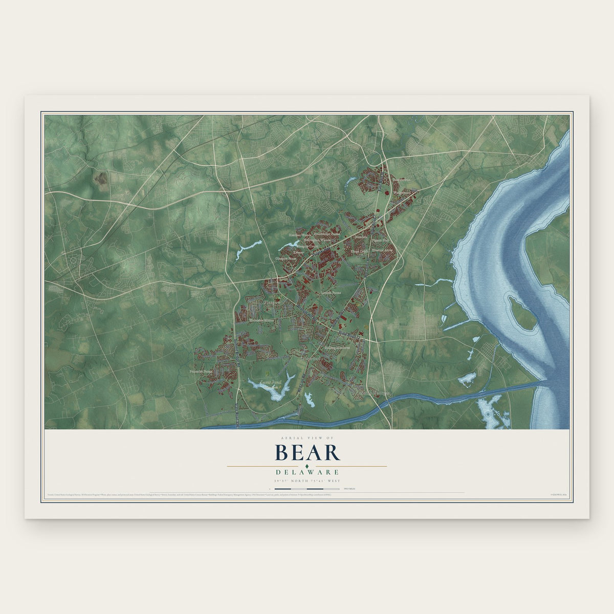
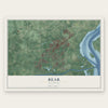
Bear, Delaware Map Art
Building by building, with labeled streets and shaded relief.
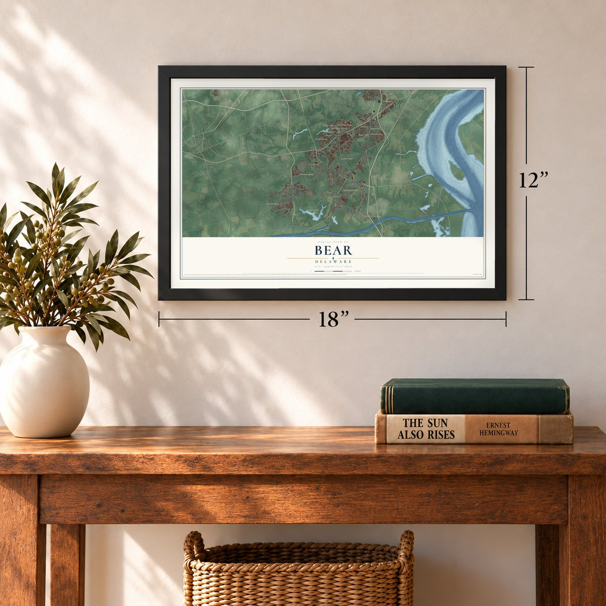
12" x 18" Archival Matte Print
A Map of Home. A Work of Art.
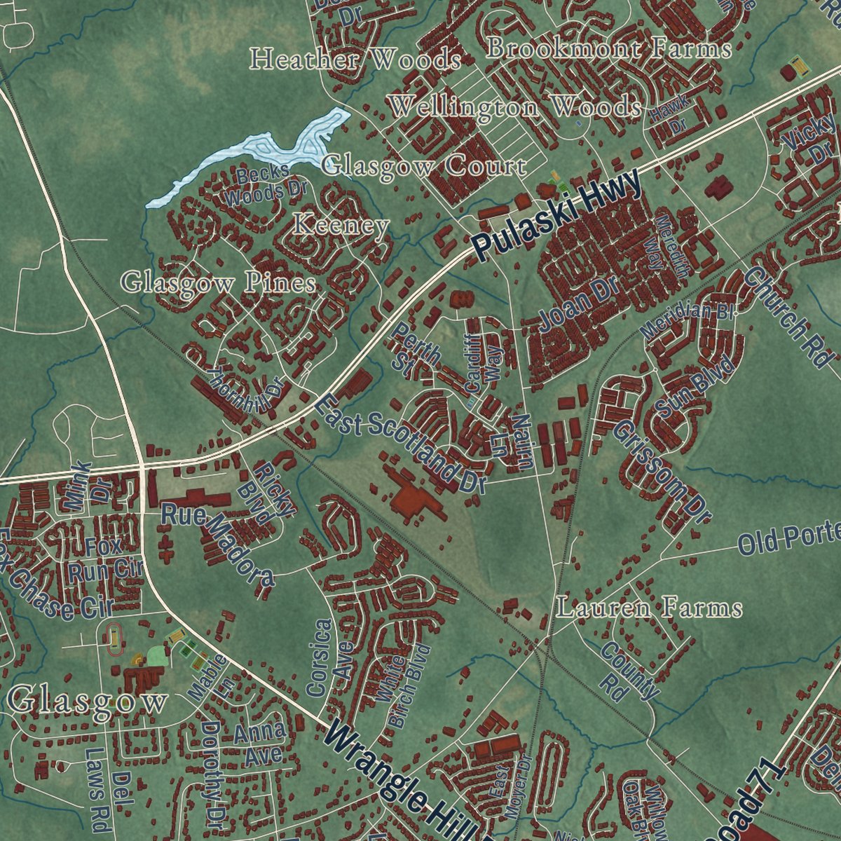
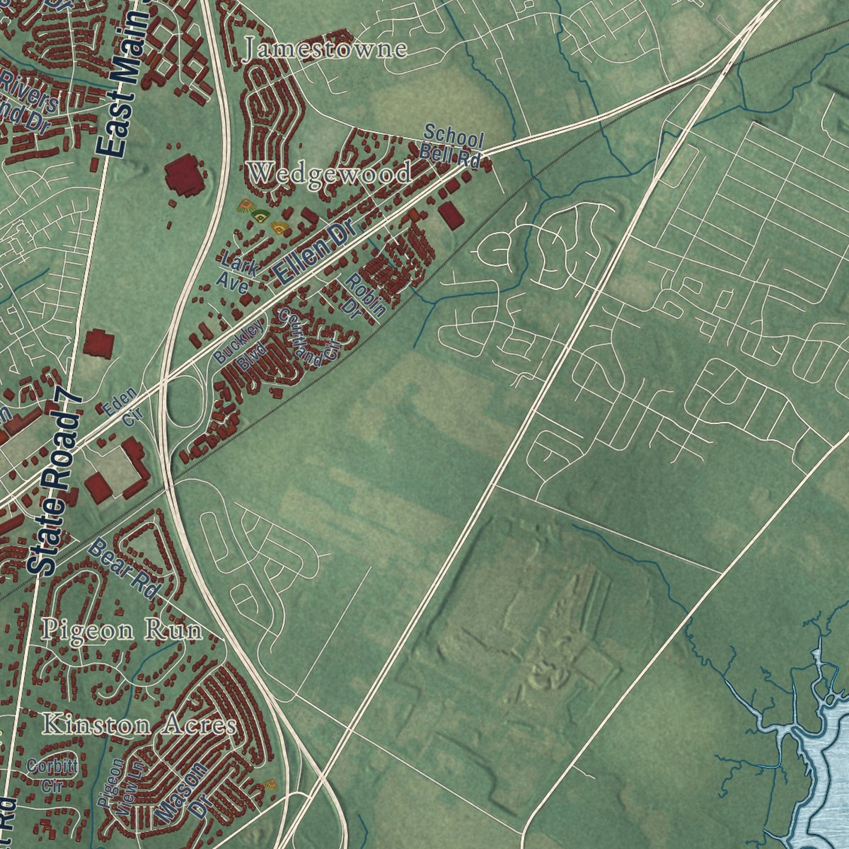
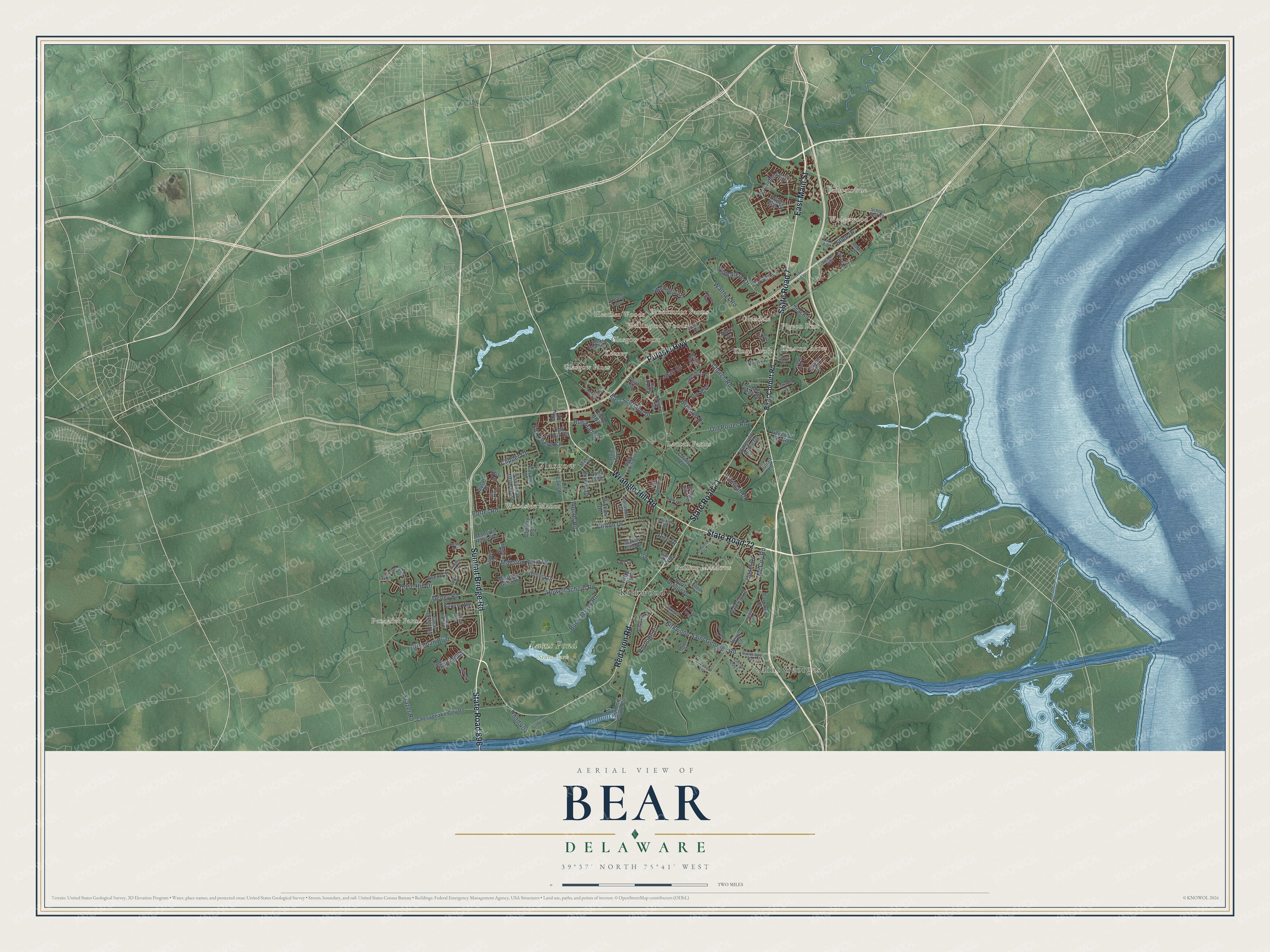
Explore Bear, Delaware from a whole new perspective. Created using aerial imagery and detailed geographic data, this map captures Bear building by building, with labeled streets, familiar landmarks, and shaded topographical relief that highlights the natural contours of the landscape.
Combining modern data with the timeless character of a vintage atlas, this map is just as interesting up close as it is beautiful on the wall. Whether you grew up in Bear, spent memorable years there, or call it home today, this unique map is a great way to celebrate a place that means something to you. Zoom in on the preview to look for your street, and then order a print to put your memories on the wall.
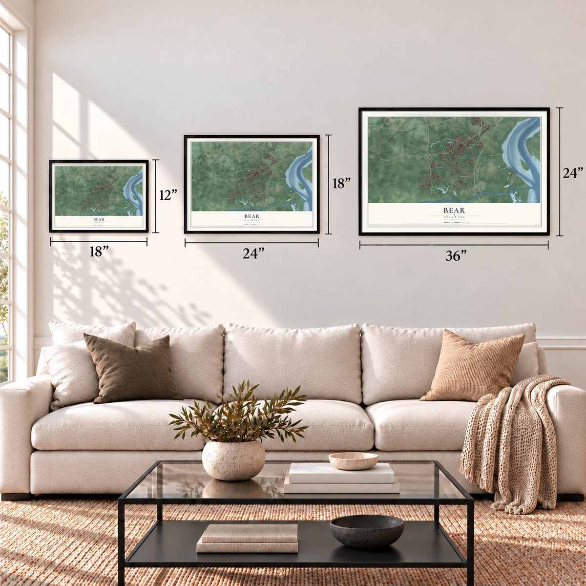
Three ways to hang it
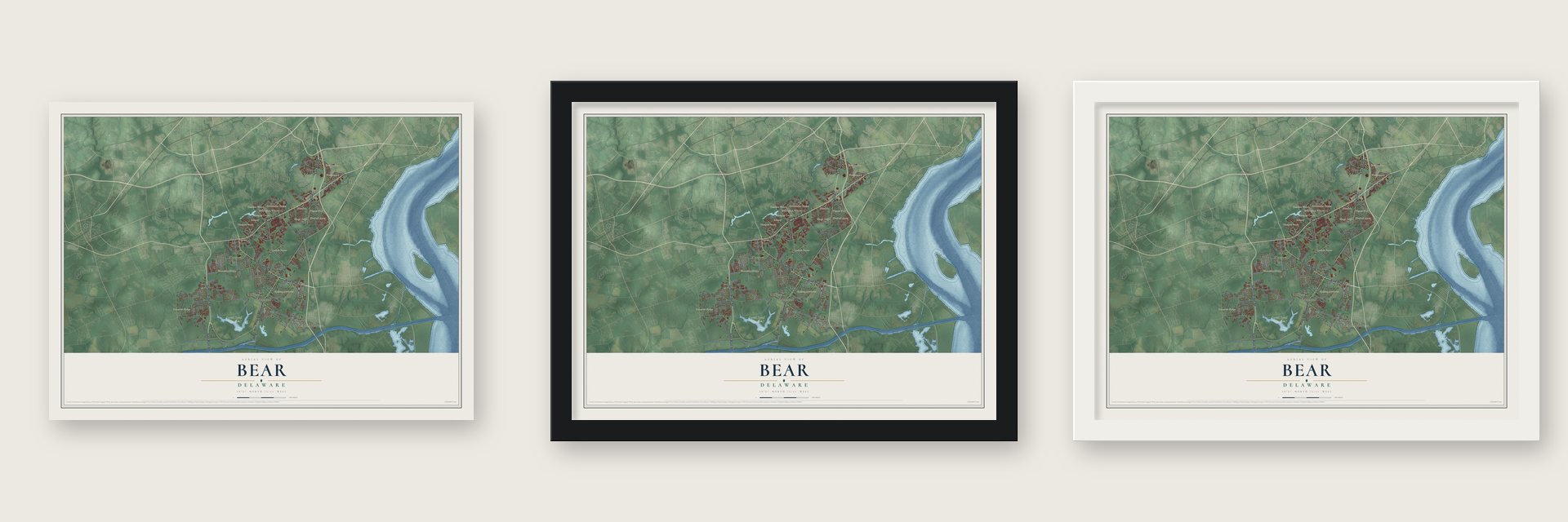
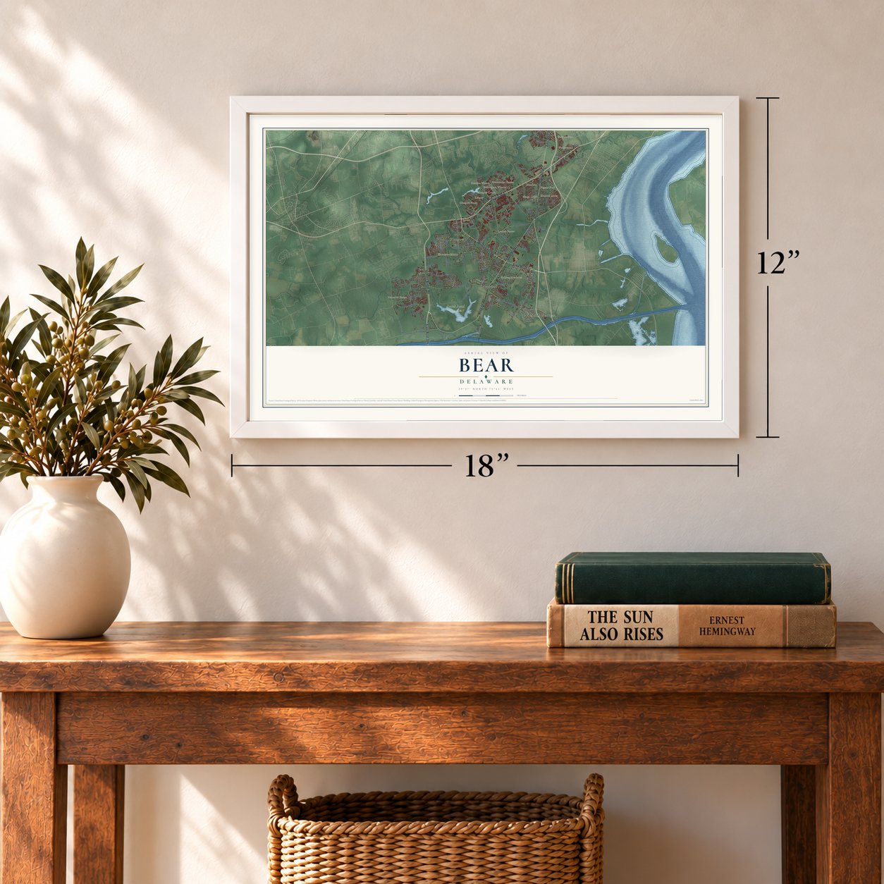
Unframed archival matte, a black wood frame or a white wood frame.
Up close
Geography Worth Displaying
This map was created using accurate cartographic data and authoritative geographic sources, including the U.S. Geological Survey and the Census Bureau. The map brings together terrain, waterways, roads, and building detail. The majority of the streets are labeled, houses are accurately depicted, and the topography is derived from government sources. Combining local data with carefully composed color and shading leads to this beautifully detailed Bear artwork for your wall.
Rather than simply showing street outlines, we’ve included as many of the street names as we could reasonably fit on the map while keeping their names legible. Zoom in on the high resolution preview to see exactly what’s on the map. We truly set out to create a statement piece for anyone who loves Bear. So whether it’s for you, or a gift for someone you love, we hope this map of Bear brings back fond memories.
Find your street
Names on the Bear map
Every name below is printed on this map. Look for your street, your school, the park where you played, or the pond down the road.
Places and landmarks20
- Saint Georges
- Kirkwood
- Glasgow
- Lums Pond State Park
- Jamestowne
- Lauren Farms
- Pencader Farms
- Heather Woods
- Glasgow Pines
- Pigeon Run
- Woodside Manor
- Rolling Meadows
Show all 20 places
- Glendale
- Brookmont Farms
- Keeney
- Kinston Acres
- Kings Croft
- Glasgow Court
- Wedgewood
- Wellington Woods
Streets and roads131
- State Road 71
- State Road 896
- State Road 7
- State Road 72
- Wrangle Hill Road
- East Main Street
- Red Lion Road
- Summit Bridge Road
- Pulaski Highway
- Brennan Boulevard
- Porter Road
- Kirkwood Saint Georges Road
- McCoy Road
- Howell School Road
- Buck Jersey Road
- Denny Road
- Frazer Road
- Church Road
- Old Porter Road
- Woods Road
- Clifton Drive
- Rue Madora
- Portside Court
- Providence Drive
- Mansion Farm Drive
- Walther Road
- East Scotland Drive
- Rose Hill Drive
- Grissom Drive
- Calvarese Drive
Show all 131 streets
- Ellen Drive
- Rice Drive
- Fox Chase Circle
- Delilah Drive
- Hazel Drive
- Clipper Court
- Ballina Boulevard
- Road 404
- Joan Drive
- Bear Corbitt Road
- Nairn Lane
- Honora Drive
- Chesapeake City Road
- Wellington Drive
- Emerald Ridge Drive
- Summit Pointe Circle
- Caravel Drive
- Corsica Avenue
- Del Laws Road
- County Road
- Fox Run Circle
- Rivers End Drive
- Savannah Drive West
- Sun Boulevard
- Ascot Court
- Waterton Drive
- Jayson Drive
- Karens Way
- Bear Road
- Dorothy Drive
- North Dragon Drive
- Hickory Drive
- Country Side Lane
- Clear Creek Drive
- Ricky Boulevard
- Meadow Glen Drive
- Duke Drive
- Timber Knoll Drive
- Mason Drive
- Virtue Boulevard
- Parkman Drive
- Anna Avenue
- Governor Lea Road
- Jeffrey Pine Lane
- Laramie Drive
- Mansion House Road
- Carvel Lane
- Shai Circle
- Julian Lane
- Deasy Drive
- Vicky Drive
- Perth Street
- Mink Drive
- Healy Court
- Cornwell Drive
- Meridian Bl
- School Bell Road
- Becks Woods Drive
- Pierce Run
- Megan Drive
- Airdrie Drive
- Eaton Place
- Jenny Drive
- Crimson King Drive
- Thornhill Drive
- Glenshane Pass
- Mable Lane
- White Birch Boulevard
- Starboard Drive
- Silver Birch Lane
- Matthew Drive
- Willow Oak Boulevard
- Cocoa Cay Lane
- Mather Drive
- Robin Drive
- Suffolk Boulevard
- Elizabeth Lane
- Cardiff Way
- Joy Court
- Lark Avenue
- Eden Circle
- Olmsted Drive
- Corbitt Circle
- Belgian Drive
- Arrow Way
- Castle Run Drive
- Pigeon View Lane
- Old Summit Road
- Moores Drive
- East Moyer Drive
- Connell Drive
- Dunleary Drive
- Courtland Circle
- Garwood Drive
- Matbe Drive
- Cypress Way
- Buckley Boulevard
- Meredith Way
- Niobrara Lane
- Hawk Drive
- Dover Court
Names are listed as they appear on the printed map. Zoom into the product photos to find them.
About Bear, Delaware
Bear is a community of 23,060 people in New Castle County, about 14 miles south of Wilmington. For most of its past it was a small crossroads, and the farms around it raised mainly corn and cattle. It had only 50 people in 1890 and 59 in 1900.
That changed in the late 1980s and 1990s, when builders put up big subdivisions and new shopping centers lining U.S. Route 40. Much of Bear now stretches along that highway, reaching to about Delaware Route 896.
- Named for a tavern signLocal legend holds that a tavern stood on the road from Wilmington to Dover, at the spot where U.S. Route 40 now crosses Delaware Route 7. Its sign was painted with a large bear, and George Washington is said to have stopped there. The crossroads took the tavern's name.
- Bear StationBear Station stood on the Frenchtown Railroad, almost twelve miles out of New Castle. J. Thomas Scharf's History of Delaware called it a great help to the farm country around it. Freight trains still pass through on Norfolk Southern lines, and Amtrak keeps its Bear Maintenance Facility here.
- A school since 1879May B. Leasure Elementary began as Eden School in 1879, teaching the first through eighth grades. A fire gutted it on November 11, 1934, and classes moved to Lodge Hall, where the school already rented extra rooms. A new building opened in 1935. In 1970 the school was renamed for teacher Elizabeth May Brown Leasure, and today's building opened in 1998.
- A champion skater for IndiaAmi Parekh, an Indian-American figure skater who lives in Bear, competed for India abroad and won the Indian ladies' title eight times. Soccer player Mark McKenzie grew up here, and NFL defensive tackle Angelo Blackson once lived here.
Keep exploring Delaware
Bear is one of 94 Delaware towns we've mapped. Every dot on the map is a print of its own.
The search covers every state, Delaware first.
Near Bear
Order 2 or more town maps and save 10%. Shown in the size and finish you picked above, so they hang as a set.
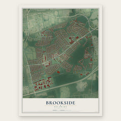
- Brookside 12" x 18" / Archival Matte Print $39.99
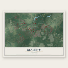
- Glasgow 12" x 18" / Archival Matte Print $39.99
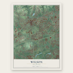
- Wilson 12" x 18" / Archival Matte Print $39.99
More maps nearby: St. Georges, Pleasantville, Lorewood Grove, Christiana and Delaware City.
The art of mapping a place
How This Map Was Made
Real places. Remarkable detail. Discover the layers that turn geographic data into a map of home.

The view from above
Aerial imagery reveals the character of the land: woodland, open fields, and the patterns of a place.

The shape of the land
Elevation data brings hills, valleys, and subtle changes in the landscape into view.

The details of home
Roads, waterways, and building footprints come together to make the map feel unmistakably local.

Geography becomes art
Considered color, shading, and typography bring the layers together in a map made for your wall.


Process illustrated with Mendon, Massachusetts. Aerial imagery: USDA NAIP. Terrain: USGS 3D Elevation Program. Map details and finished artwork: KNOWOL.
The Details
About This Print
Choose an archival matte print, or a black or white Ayous wood frame. The archival matte print is unframed.
Select your size and finish above to see the matching product image and price.
Materials & Craftsmanship
A contemporary map with the character of a classic atlas, printed on archival matte paper. Optional frames are made from Ayous wood.
Your printed map does not include the watermark shown in the full-map preview.
Shipping & Delivery
Free shipping within the United States. Every print is made to order in the USA.
Buying a gift? Add a note in your cart and we'll include it. We never put prices in the package.
Prints ship within 2 to 3 business days. Allow 7 to 10 days total from ordering for delivery. Timing may vary during holidays or periods of high order volume.
Read our shipping policy.
Returns and damaged prints
Each print is made to order. Change-of-mind refunds are not available after production.
If your print arrives damaged, misprinted or incorrect, contact support@knowol.com within 30 days of receiving it. Include your order number, photos and a description of the issue.
Read our full refund and replacement policy. For questions about your order, email support@knowol.com.