
Search for another town
Free U.S. delivery 7 to 10 days after you order
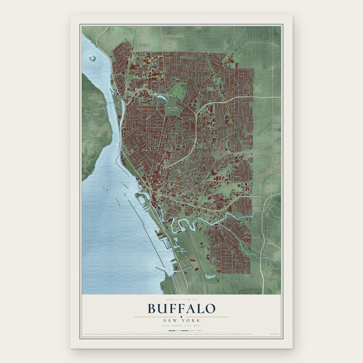
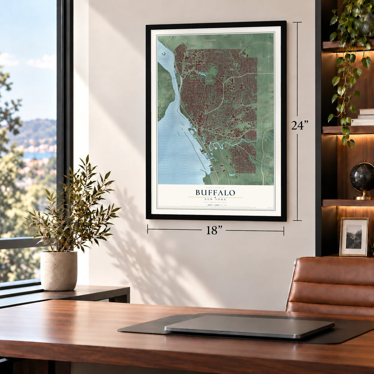
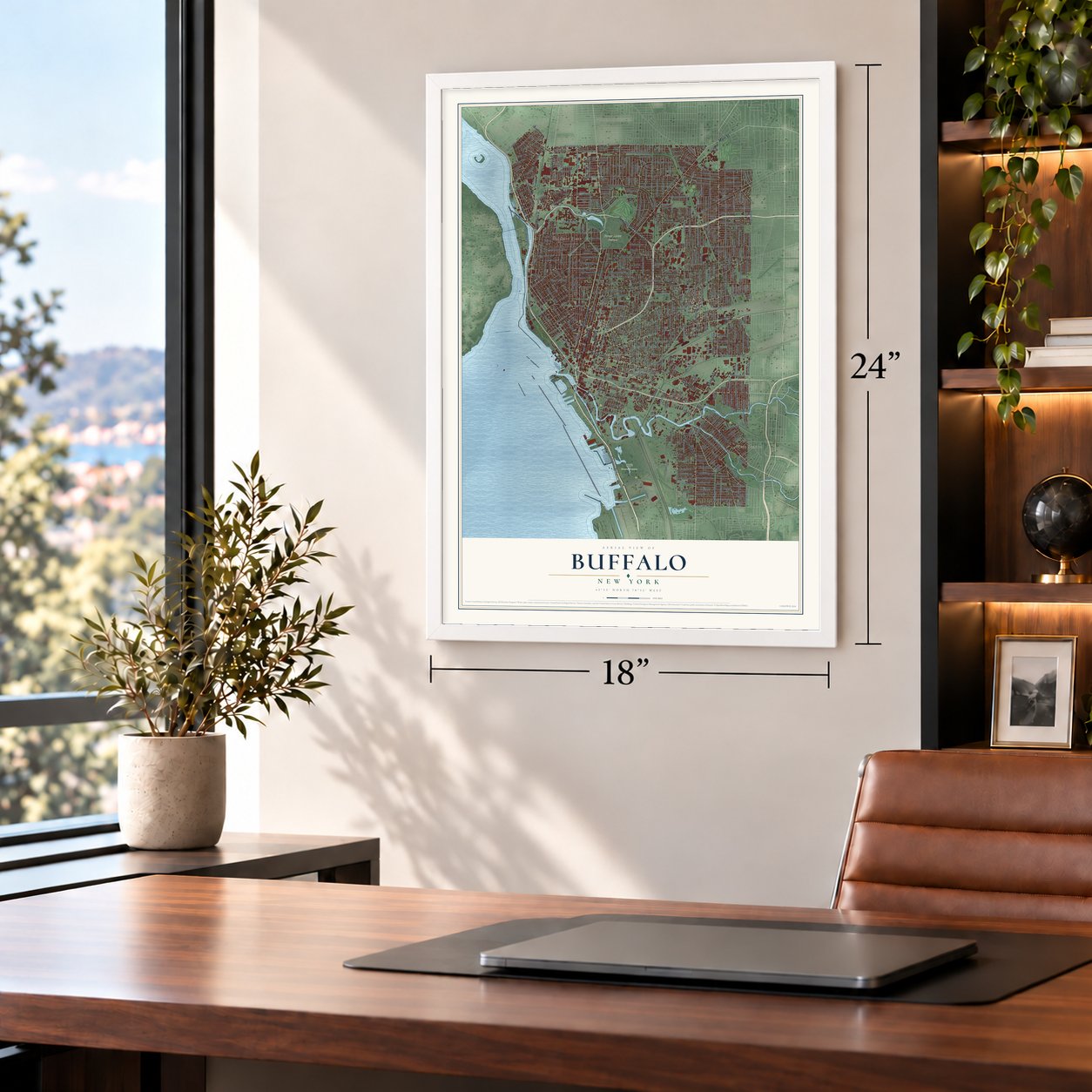
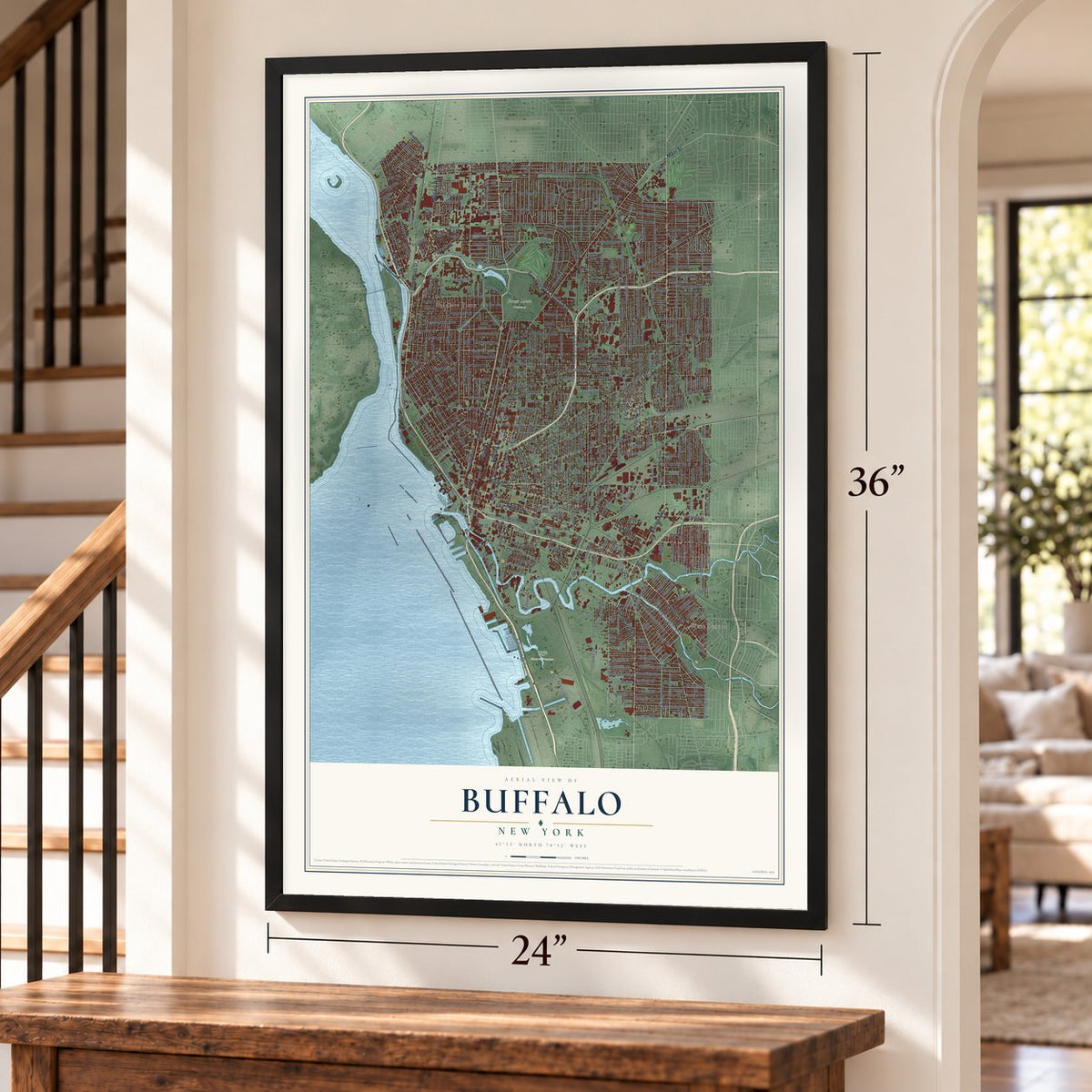
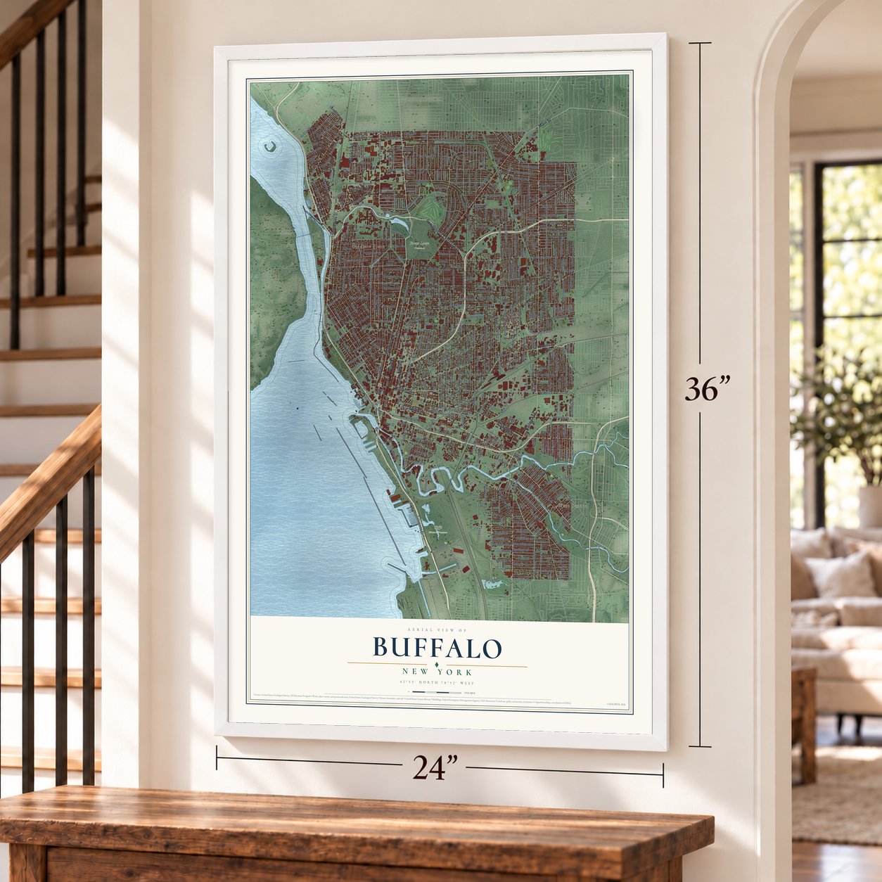
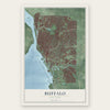
Buffalo, New York Map Art
Building by building, with labeled streets and shaded relief.
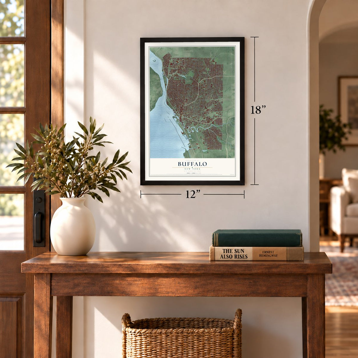
12" x 18" Archival Matte Print
A Map of Home. A Work of Art.
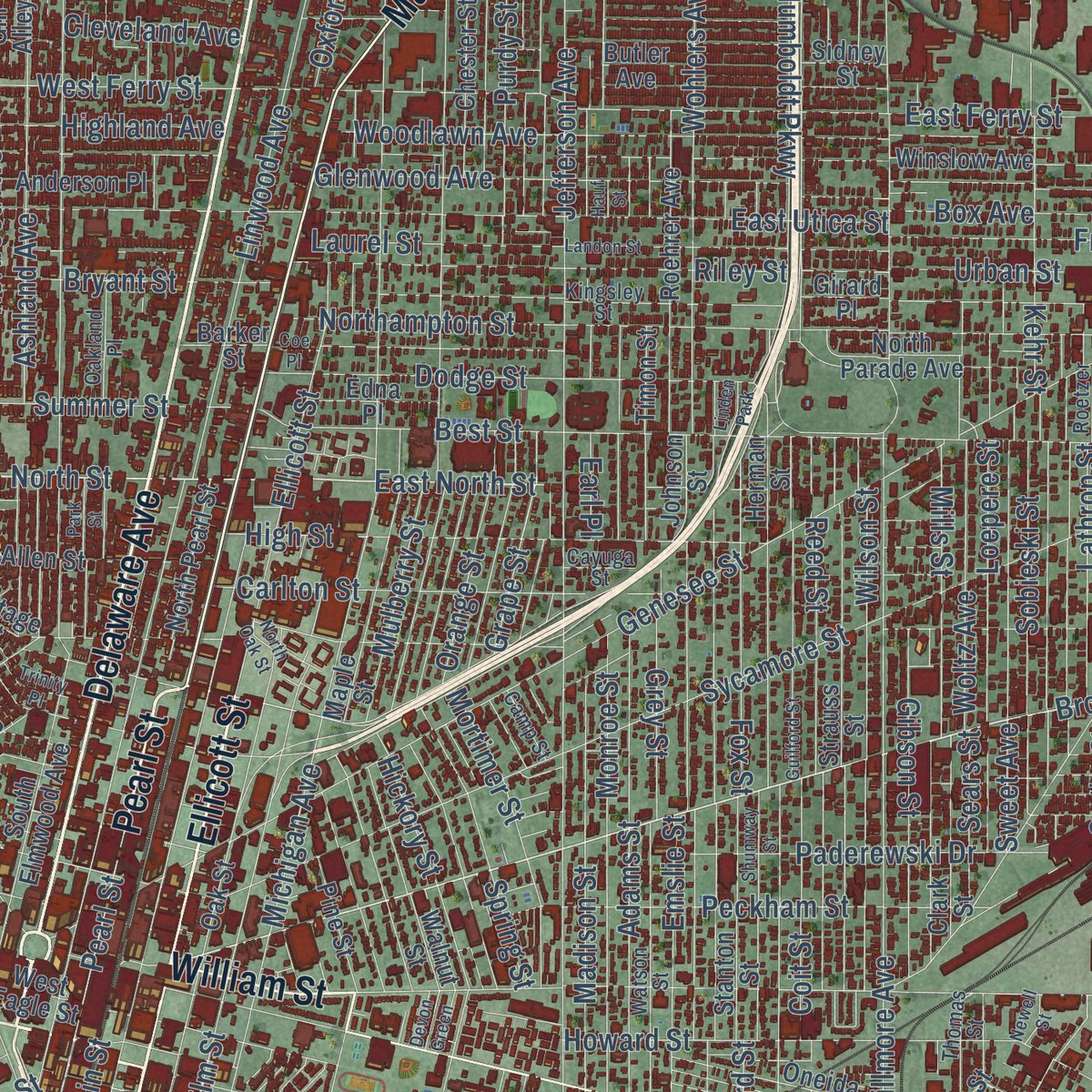
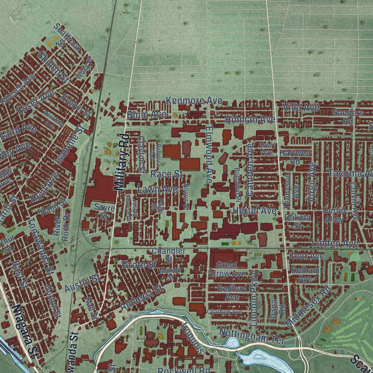
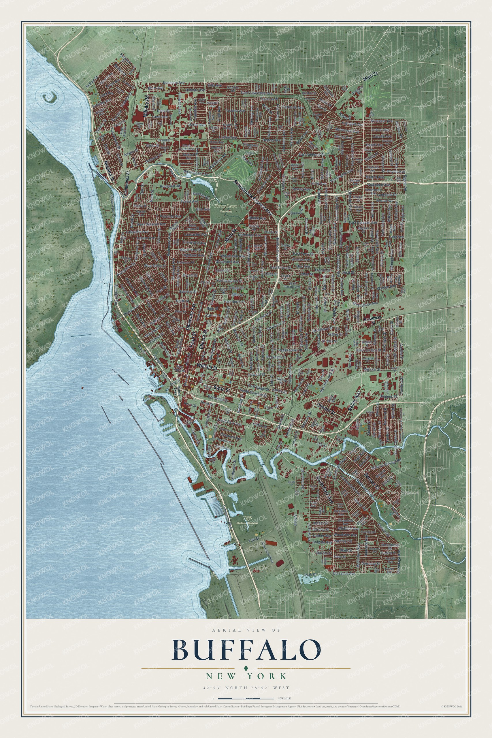
Explore Buffalo, New York from a whole new perspective. Created using aerial imagery and detailed geographic data, this map captures Buffalo building by building, with labeled streets, familiar landmarks, and shaded topographical relief that highlights the natural contours of the landscape.
Combining modern data with the timeless character of a vintage atlas, this map is just as interesting up close as it is beautiful on the wall. Whether you grew up in Buffalo, spent memorable years there, or call it home today, this unique map is a great way to celebrate a place that means something to you. Zoom in on the preview to look for your street, and then order a print to put your memories on the wall.
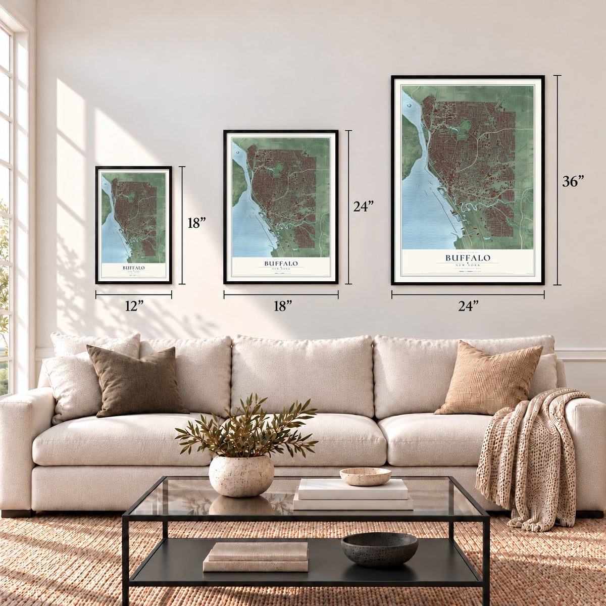
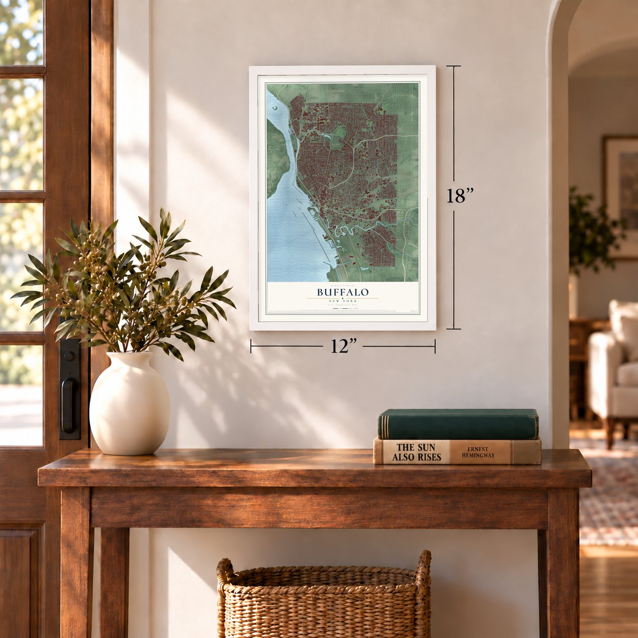
Three ways to hang it
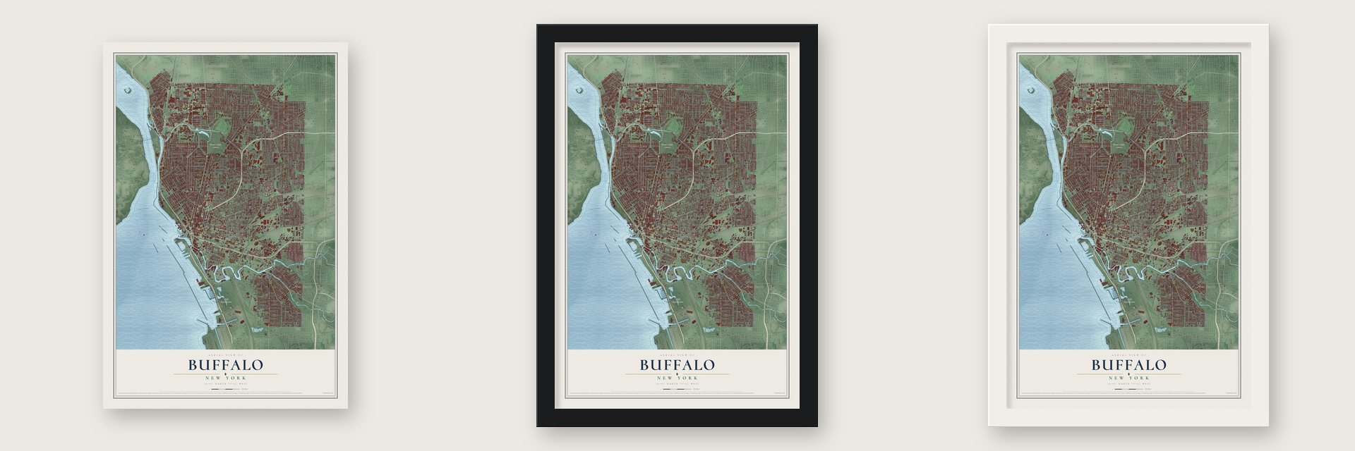
Unframed archival matte, a black wood frame or a white wood frame.
Up close
Geography Worth Displaying
This map was created using accurate cartographic data and authoritative geographic sources, including the U.S. Geological Survey (USGS) and FEMA. The map brings together terrain, waterways, roads, and building detail. The majority of the streets are labeled, houses are accurately depicted, and the topography is derived from government sources. Combining local data with carefully composed color and shading leads to this beautifully detailed Buffalo artwork for your wall.
Rather than simply showing street outlines, we’ve included as many of the street names as we could reasonably fit on the map while keeping their names legible. Zoom in on the high resolution preview to see exactly what’s on the map. We truly set out to create a statement piece for anyone who loves Buffalo. So whether it’s for you, or a gift for someone you love, we hope this map of Buffalo brings back fond memories.
Explore the full map of Buffalo, New York and read about the local places it shows.
Find your street
Names on the Buffalo map
Every name below is printed on this map. Look for your street, your school, the park where you played, or the pond down the road.
Places and landmarks8
- Forest Lawn Cemetery
- Tifft Nature Preserve
- West Seneca
- Soldiers Place
- Rebecca Park
- Penhurst Park
- Argyle Park
- Linden Park
Streets and roads525
- Delaware Avenue
- Swan Street
- Ellicott Street
- Pearl Street
- William Street
- Seneca Street
- Bailey Avenue
- Main Street
- Niagara Street
- Clinton Street
- Scajaquada Expressway
- South Park Avenue
- Military Road
- Broadway Street
- Kensington Avenue
- Park Drive
- Lincoln Parkway
- East North Street
- North Street
- Ontario Street
- Porter Avenue
- Kenmore Avenue
- Grape Street
- Fuhrmann Boulevard
- Eggert Road
- North Ogden Street
- Middlesex Road
- McKinley Parkway
- Fourth Street
- Iroquois
Show all 525 streets
- Fillmore Avenue
- Genesee Street
- Elmwood Avenue
- Hertel Avenue
- Amherst Street
- Jefferson Avenue
- Humboldt Parkway
- Michigan Avenue
- East Delavan Avenue
- West Avenue
- Sycamore Street
- East Ferry Street
- Abbott Road
- Parkside Avenue
- Tifft Street
- West Delavan Avenue
- Perry Street
- Park Road
- Northland Avenue
- Smith Street
- West Ferry Street
- Grant Street
- Northampton Street
- Tacoma Avenue
- Lafayette Avenue
- Walden Avenue
- Exchange Street
- Hopkins Street
- Virginia Street
- Suffolk Street
- Tonawanda Street
- Elk Street
- Busti Avenue
- Prospect Avenue
- Richmond Avenue
- Woodlawn Avenue
- Best Street
- South Division Street
- Auburn Avenue
- Glenwood Avenue
- Ohio Street
- Potomac Avenue
- South Ogden Street
- Forest Avenue
- Bird Avenue
- Crescent Avenue
- Taunton Place
- Minnesota Avenue
- Ashland Avenue
- Plymouth Avenue
- Linwood Avenue
- East Amherst Street
- Howard Street
- Lasalle Avenue
- East Utica Street
- Riley Street
- Saint Lawrence Avenue
- Moselle Street
- Lisbon Avenue
- Goodyear Avenue
- East Eagle Street
- Fargo Avenue
- Wyoming Avenue
- High Street
- Grider Street
- Starin Avenue
- West Utica Street
- Highgate Avenue
- Linden Avenue
- Marilla Street
- Seventh Street
- Adams Street
- Wilson Street
- Winspear Avenue
- Downing Street
- Dorrance Avenue
- Monroe Street
- Abby Street
- Dodge Street
- Doat Street
- Nottingham Terrace
- Fulton Street
- Norwood Avenue
- Hamburg Street
- Wohlers Avenue
- Elm Street
- Hewitt Avenue
- Hickory Street
- Shirley Avenue
- Spring Street
- Parker Avenue
- Cambridge Avenue
- Cornwall Avenue
- Madison Street
- Hinman Avenue
- Babcock Street
- Emslie Street
- Peckham Street
- Carlton Street
- Katherine Street
- Voorhees Avenue
- Leroy Avenue
- Jersey Street
- Sweet Avenue
- Vulcan Street
- Woodward Avenue
- Ganson Street
- Newburgh Avenue
- Orleans Street
- Davey Street
- Woodside Avenue
- Olympic Avenue
- Southside Parkway
- Herkimer Street
- North Legion Drive
- Benzinger Street
- Gold Street
- Potters Road
- Koons Avenue
- Comstock Avenue
- Baynes Street
- Eden Street
- Cumberland Avenue
- 14th Street
- East Lovejoy Street
- Greene Street
- Dewitt Street
- Paderewski Drive
- Austin Street
- Skillen Street
- Dingens Street
- Dewey Avenue
- Summer Street
- Beard Avenue
- Gibson Street
- East Street
- Edison Avenue
- Hampshire Street
- Weiss Street
- Fox Street
- Hudson Street
- Depew Avenue
- Scott Street
- Okell Street
- Dar Drive
- Villa Avenue
- Bryant Street
- Langfield Drive
- Goethe Street
- Willett Street
- Weimar Street
- Box Avenue
- Urban Street
- French Street
- Sheridan Terrace
- Phyllis Avenue
- Hancock Avenue
- Whitfield Avenue
- Mortimer Street
- New Babcock Street
- Lang Avenue
- Barnard Street
- Crowley Avenue
- Deerfield Avenue
- Mineral Springs Road
- Sterling Avenue
- Mills Street
- Maryland Street
- Grote Street
- Woltz Avenue
- Loepere Street
- North Drive
- Kehr Street
- Purdy Street
- Sobieski Street
- Highland Avenue
- Laurel Street
- Chicago Street
- Hayes Road
- Mulberry Street
- Coit Street
- Lathrop Street
- May Street
- Oakmont Avenue
- Orange Street
- Reed Street
- Tarkio Place
- Heath Street
- Grey Street
- Esser Avenue
- Brinkman Avenue
- Lord Street
- Hill Street
- Holden Street
- Lewis Street
- Chelsea Place
- Stevens Avenue
- Virgil Avenue
- Glenny Drive
- Rockwell Road
- Miller Avenue
- Rees Street
- Carl Street
- Martha Avenue
- Onondaga Avenue
- Laird Avenue
- Blaine Avenue
- Ashley Street
- West Shore Avenue
- Oconnell Avenue
- Oxford Avenue
- Sprenger Avenue
- Erie Street
- Wallace Avenue
- Lawn Avenue
- Colorado Avenue
- Camden Avenue
- Race Street
- Lancaster Avenue
- York Street
- Courtland Avenue
- Harding Road
- Ladner Avenue
- Altruria Street
- Colgate Avenue
- Amber Street
- Fenton Street
- Cleveland Avenue
- Sears Street
- Leslie Street
- Germania Street
- Halbert Street
- Barthel Street
- James Street
- Texas Street
- Huntley Road
- Zelmer Street
- South Street
- Zittel Street
- Cambria Street
- Zenner Street
- Dart Street
- Rumsey Road
- Isabelle Street
- Kay Street
- Peabody Street
- Wilkes Avenue
- Gorski Street
- Erb Street
- Leonard Street
- Hunt Avenue
- Blum Avenue
- Spann Street
- Lee Street
- Eller Avenue
- Selkirk Street
- Grimes Street
- Sage Avenue
- Gittere Street
- Wick Street
- Armin Place
- 18th Street
- 17th Street
- Earl Place
- Chapin Parkway
- Colvin Avenue
- Louisiana Street
- Winslow Avenue
- Ship Canal Parkway
- Parkridge Avenue
- Johnson Street
- Ideal Street
- South Elmwood Avenue
- Herman Street
- Florida Street
- Sanders Road
- Roesch Avenue
- Roehrer Avenue
- Manhattan Avenue
- Hastings Avenue
- Schiller Street
- Central Avenue
- Choate Avenue
- Norfolk Avenue
- Norwalk Avenue
- Pine Street
- Oak Street
- Strauss Street
- Columbus Parkway
- Weston Avenue
- Hempstead Avenue
- Maple Street
- Curtiss Street
- Stanton Street
- Hartwell Road
- Bedford Avenue
- Keystone Street
- Walnut Street
- Chandler Street
- Bidwell Parkway
- Great Arrow Avenue
- Burgard Place
- Columbus Avenue
- Allen Street
- Oneida Street
- Timon Street
- Chester Street
- Metcalfe Street
- Clark Street
- Anderson Place
- Carmel Road
- Floss Avenue
- University Avenue
- Titus Avenue
- Rano Street
- Butler Avenue
- Saint James Place
- Orlando Street
- Gorton Street
- Tyler Street
- Clarence Avenue
- Wood Avenue
- Pries Avenue
- Shoshone Street
- Brinton Street
- Clayton Street
- Mercer Avenue
- North Pearl Street
- Garner Avenue
- Bloomfield Avenue
- Baitz Avenue
- North Parade Avenue
- Folger Street
- Arthur Street
- Shenandoah Road
- Albany Street
- Greenfield Street
- Durham Avenue
- Weyand Avenue
- Gelston Street
- Stewart Avenue
- Evelyn Street
- Frontenac Avenue
- Cushing Place
- Edna Place
- Cottage Street
- River Rock Drive
- Wright Avenue
- Milton Street
- Seabrook Street
- Forman Street
- Decker Street
- Carlyle Avenue
- Bud Mil Drive
- Tillinghast Place
- Shepard Street
- Newman Place
- Kail Street
- Knox Avenue
- Tennyson Avenue
- Weber Avenue
- Goodyear Road
- Poplar Avenue
- Kimmel Avenue
- Wecker Street
- Pooley Place
- Turner Avenue
- Berwyn Avenue
- Larkin Street
- Dorris Avenue
- Fay Street
- Regent Street
- Depot Street
- Briggs Avenue
- Custer Street
- Beverly Road
- West Eagle Street
- Delham Avenue
- Dana Road
- Wade Avenue
- Hertel Alley
- Barker Street
- Dakota Street
- Girard Place
- Kelburn Street
- Ernst Avenue
- Deshler Street
- Sidney Street
- Blake Street
- Paul Place
- Hecla Street
- Sayre Street
- Gill Alley
- Clio Avenue
- Gesl Street
- Otto Street
- Taft Place
- Myrtle Avenue
- Ludington Street
- Watson Street
- Cable Street
- Lakefront Boulevard
- Summit Avenue
- Carroll Street
- Kingsley Street
- Van Rensselaer Street
- Avery Avenue
- James East Casey Drive
- Como Avenue
- Kimberly Avenue
- Marion Street
- Republic Street
- Durant Street
- Elmer Avenue
- Coolidge Road
- Botsford Place
- Oakland Place
- Alsace Avenue
- Lebrun Road
- Saint Marys Road
- Thomas Street
- Page Street
- Avondale Place
- Fairfield Street
- Sirret Street
- Zollars Avenue
- Pierce Street
- Norris Street
- Federal Avenue
- Wiley Place
- Fields Avenue
- Trestle Alley
- Cordova Avenue
- Sheridan Avenue
- Rejtan Street
- Croy Avenue
- Roetzer Street
- Camp Street
- Ward Court
- Amvets Drive
- Euclid Place
- Cayuga Street
- Edson Street
- Queen Street
- Gail Avenue
- Childs Street
- Hayes Place
- Littell Avenue
- Dole Street
- Orton Place
- Buffalo Skwy
- Dartmouth Avenue
- Hoyt Street
- Longnecker Street
- Guilford Street
- Berkshire Avenue
- Landon Street
- North Oak Street
- Mackinaw Street
- Jewett Avenue
- Wellington Road
- North Park Avenue
- Shumway Street
- Merrimac Street
- Winston Road
- Bakos Boulevard
- Kerns Avenue
- Baraga Street
- Park Street
- South Michigan Avenue
- Humber Avenue
- Chenango Street
- Chatham Avenue
- Ivy Street
- Henrietta Avenue
- William Price Parkway
- Peck Street
- Trinity Place
- Jasper Parrish Drive
- Cochrane Street
- Crandall Drive
- Midway Avenue
- South Pierce Street
- Duluth Avenue
- Freeman Street
- Coburg Street
- Danforth Street
- Devon Green
- Newell Street
- Capen Boulevard
- Bell Avenue
- Corral Drive
- Coe Place
- Hauf Street
- Gull Street
Names are listed as they appear on the printed map. Zoom into the product photos to find them.
About Buffalo, New York
Buffalo is a city of 278,349 people and the seat of Erie County, set where Lake Erie empties into the Niagara River. Its name first shows up in 1764, when the British engineer John Montresor wrote of "Buffalo Creek" in his journal. After the Treaty of Big Tree in 1797, Joseph Ellicott surveyed a village at the creek's mouth, laid out around eight streets meeting at today's Niagara Square. It was first called New Amsterdam, but the creek's name soon replaced it.
During the War of 1812, British troops burned Buffalo and neighboring Black Rock in 1813, striking back after American forces destroyed Newark across the river. The village was rebuilt by 1815. Samuel Wilkeson helped enlarge the harbor, so Buffalo won out over Black Rock as the western end of the Erie Canal, which opened in 1825. Trade, factories and water power followed, and Buffalo became a city in 1832.
- The first grain elevatorUnloading grain from lake freighters was hard work done by hand, for $1.50 a day. In 1843 Joseph Dart and the engineer Robert Dunbar adapted a steam-powered elevator to do the job, and Dart's Elevator at first moved one thousand bushels an hour. When the 20th century began, no port in the world handled more grain than Buffalo.
- End of the Underground RailroadIn the 1840s and 1850s, people escaping slavery made their way north to Buffalo, a terminus of the Underground Railroad. Many free Black people crossed the Niagara River to Fort Erie, in Canada West, while others settled in Buffalo.
- A president sworn in, 1901Buffalo hosted the 1901 Pan-American Exposition, and its centerpiece, the Electric Tower, carried over two million light bulbs. At the fair the anarchist Leon Czolgosz shot President William McKinley. When McKinley died, Theodore Roosevelt took the oath of office at the Wilcox Mansion in Buffalo.
- Došowëh, between the basswoodsSenecas forced out of Fort Niagara settled for good along Buffalo Creek in 1780. Their town there was called Došowëh, meaning "Between the basswoods," and Senecas still call the city by that name today.
Keep exploring New York
Buffalo is one of 2,165 New York towns we've mapped. Every dot on the map is a print of its own.
The search covers every state, New York first.
Near Buffalo
Order 2 or more town maps and save 10%. Shown in the size and finish you picked above, so they hang as a set.
- Sloan 12" x 18" / Archival Matte Print $39.99
- Kenmore 12" x 18" / Archival Matte Print $39.99
- Lackawanna 12" x 18" / Archival Matte Print $39.99

More maps nearby: Eggertsville, Cheektowaga, Town of Tonawanda, Tonawanda Town and West Seneca.
The art of mapping a place
How This Map Was Made
Real places. Remarkable detail. Discover the layers that turn geographic data into a map of home.

The view from above
Aerial imagery reveals the character of the land: woodland, open fields, and the patterns of a place.

The shape of the land
Elevation data brings hills, valleys, and subtle changes in the landscape into view.

The details of home
Roads, waterways, and building footprints come together to make the map feel unmistakably local.

Geography becomes art
Considered color, shading, and typography bring the layers together in a map made for your wall.


Process illustrated with Mendon, Massachusetts. Aerial imagery: USDA NAIP. Terrain: USGS 3D Elevation Program. Map details and finished artwork: KNOWOL.
The Details
About This Print
Choose an archival matte print, or a black or white Ayous wood frame. The archival matte print is unframed.
Select your size and finish above to see the matching product image and price.
Materials & Craftsmanship
A contemporary map with the character of a classic atlas, printed on archival matte paper. Optional frames are made from Ayous wood.
Your printed map does not include the watermark shown in the full-map preview.
Shipping & Delivery
Free shipping within the United States. Every print is made to order in the USA.
Buying a gift? Add a note in your cart and we'll include it. We never put prices in the package.
Prints ship within 2 to 3 business days. Allow 7 to 10 days total from ordering for delivery. Timing may vary during holidays or periods of high order volume.
Read our shipping policy.
Returns and damaged prints
Each print is made to order. Change-of-mind refunds are not available after production.
If your print arrives damaged, misprinted or incorrect, contact support@knowol.com within 30 days of receiving it. Include your order number, photos and a description of the issue.
Read our full refund and replacement policy. For questions about your order, email support@knowol.com.