
Search for another town





Free U.S. delivery 7 to 10 days after you order
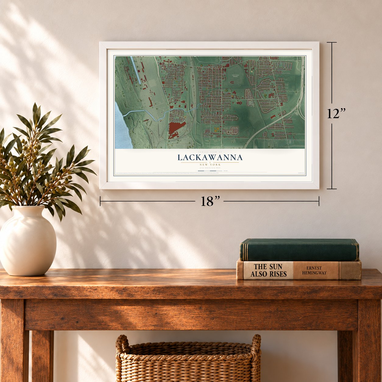
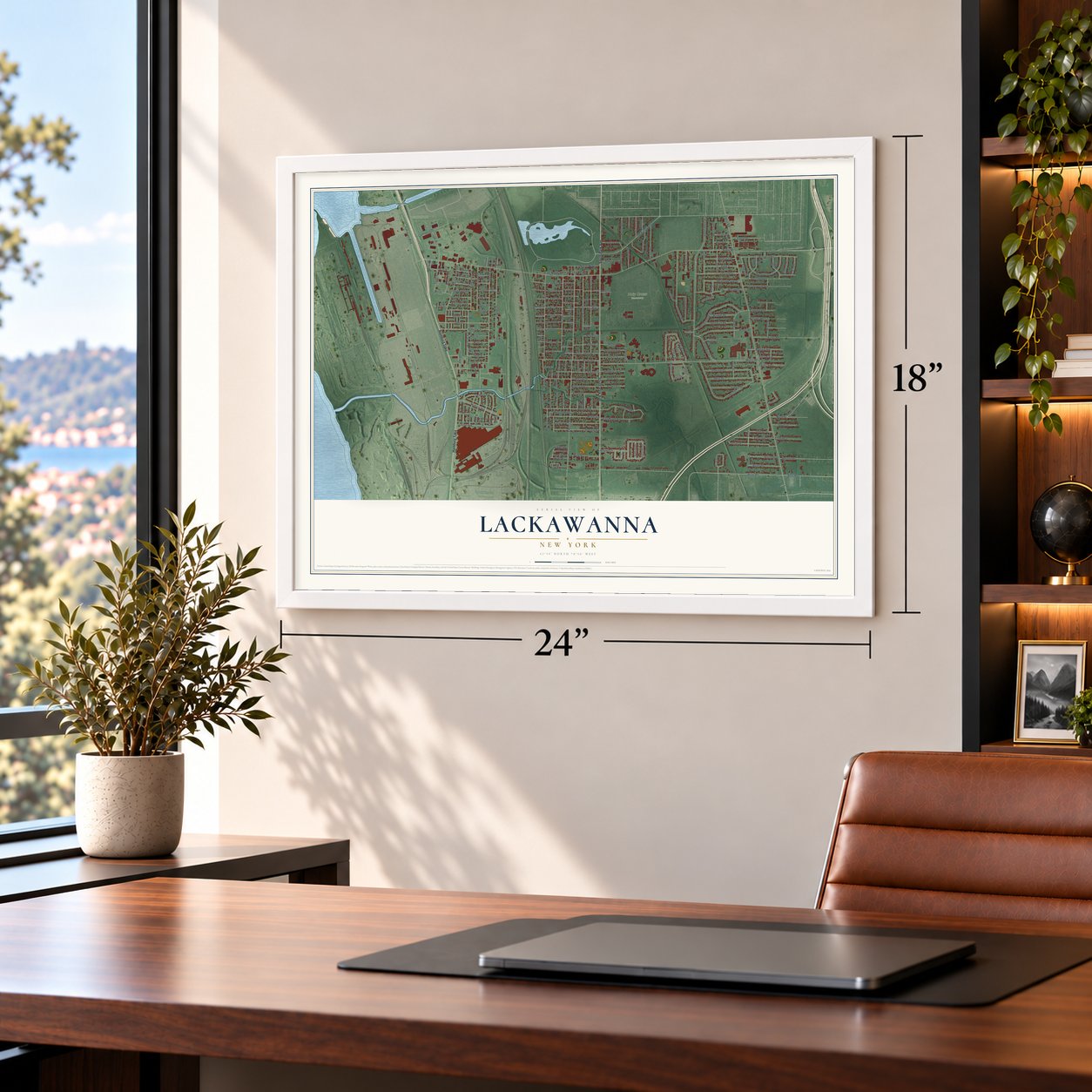
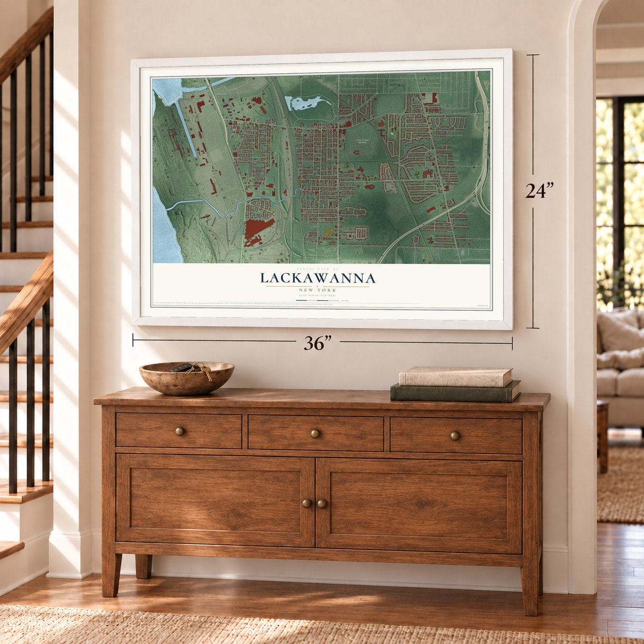
Lackawanna, New York Map Art
Building by building, with labeled streets and shaded relief.
12" x 18" Archival Matte Print
A Map of Home. A Work of Art.
Explore Lackawanna, New York from a whole new perspective. Created using aerial imagery and detailed geographic data, this map captures Lackawanna building by building, with labeled streets, familiar landmarks, and shaded topographical relief that highlights the natural contours of the landscape.
Combining modern data with the timeless character of a vintage atlas, this map is just as interesting up close as it is beautiful on the wall. Whether you grew up in Lackawanna, spent memorable years there, or call it home today, this unique map is a great way to celebrate a place that means something to you. Zoom in on the preview to look for your street, and then order a print to put your memories on the wall.

Three ways to hang it
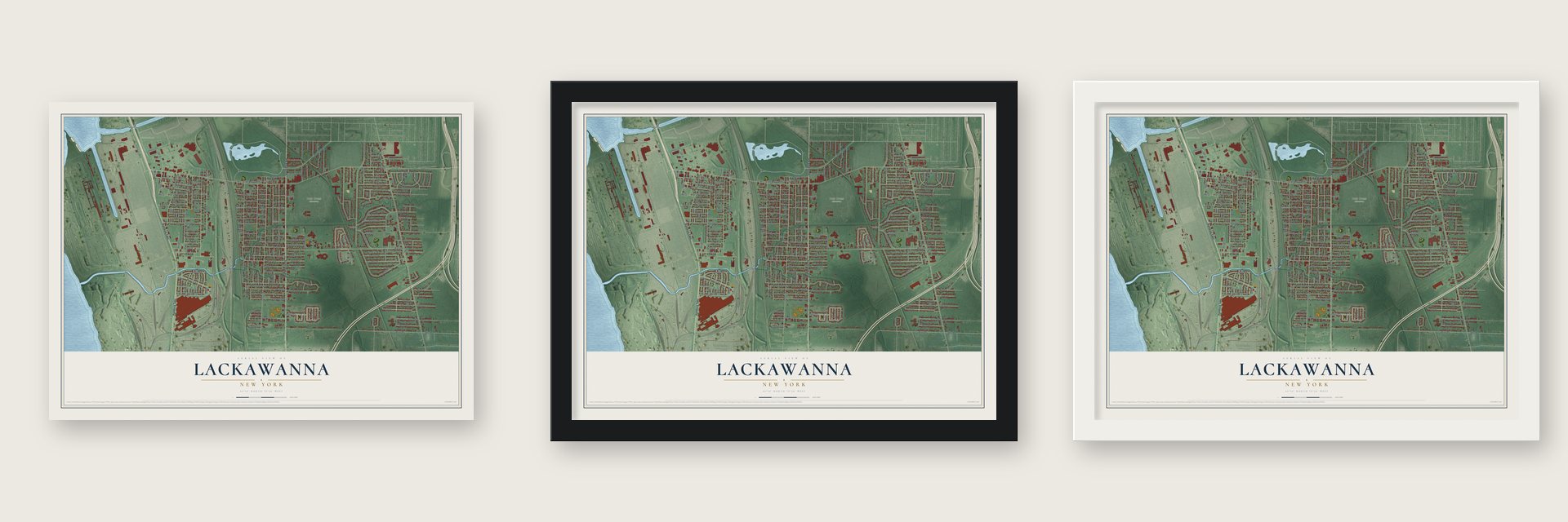
Unframed archival matte, a black wood frame or a white wood frame.
Up close
Geography Worth Displaying
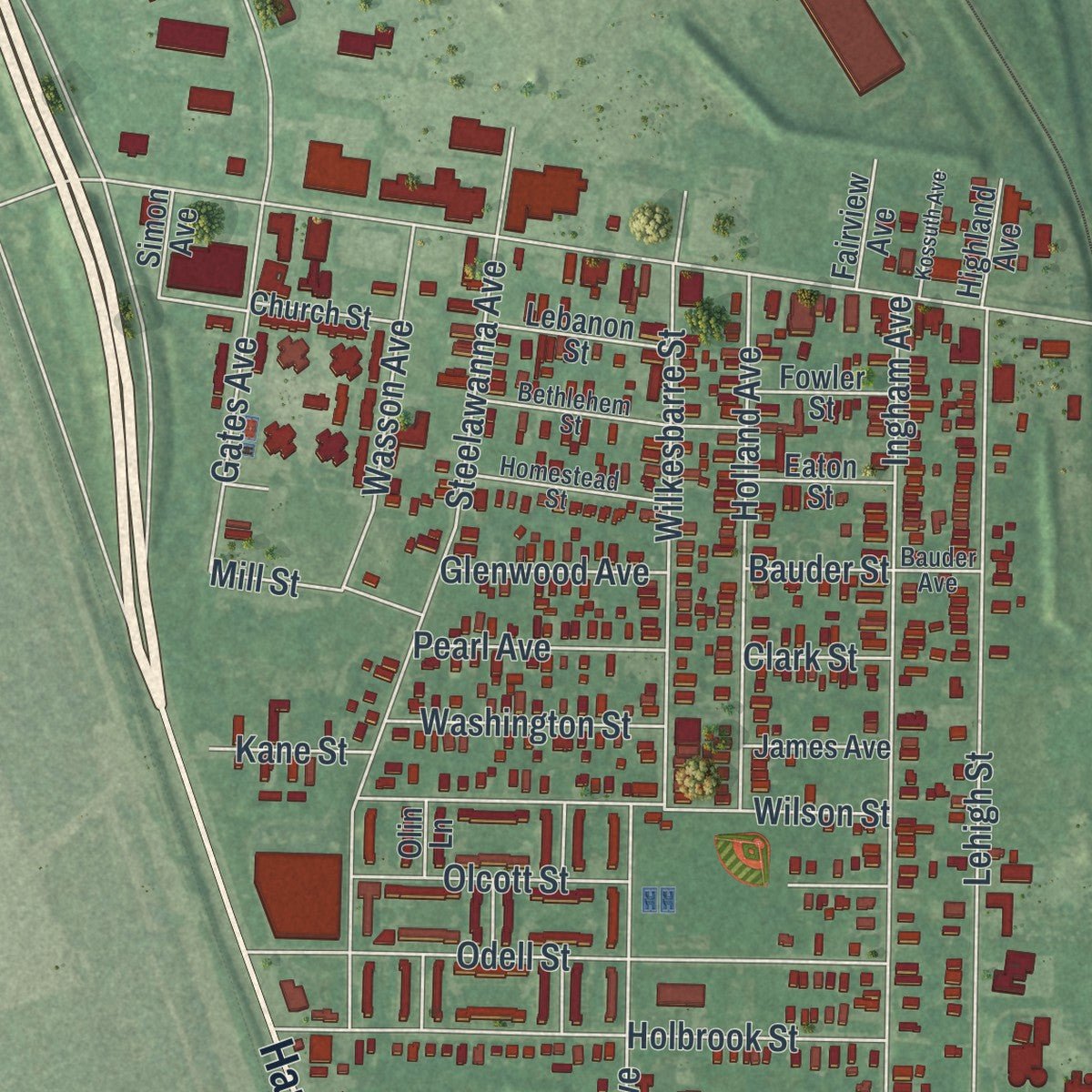
This map was created using accurate cartographic data and authoritative geographic sources, including the U.S. Geological Survey (USGS) and FEMA. The map brings together terrain, waterways, roads, and building detail. The majority of the streets are labeled, houses are accurately depicted, and the topography is derived from government sources. Combining local data with carefully composed color and shading leads to this beautifully detailed Lackawanna artwork for your wall.
Rather than simply showing street outlines, we’ve included as many of the street names as we could reasonably fit on the map while keeping their names legible. Zoom in on the high resolution preview to see exactly what’s on the map. We truly set out to create a statement piece for anyone who loves Lackawanna. So whether it’s for you, or a gift for someone you love, we hope this map of Lackawanna brings back fond memories.
Explore the full map of Lackawanna, New York and read about the local places it shows.

Find your street
Names on the Lackawanna map
Every name below is printed on this map. Look for your street, your school, the park where you played, or the pond down the road.
Places and landmarks2
- Lackawanna City Hall
- Holy Cross Cemetery
Streets and roads228
- South Park Avenue
- Hamburg Turnpike
- Sharon Parkway
- Fuhrmann Boulevard
- Inner Drive
- Ridge Road
- Abbott Road
- Electric Avenue
- Willet Road
- Martin Road
- Dorrance Avenue
- South Shore Boulevard
- Ingham Avenue
- Ludel Terrace
- Madison Avenue
- Center Street
- Orchard Place
- Franklin Street
- Steelawanna Avenue
- Warsaw Street
- McKinley Parkway
- Lehigh Street
- Colton Avenue
- Victory Avenue
- Maryknoll Drive
- West Elmview Avenue
- Winstead Road
- Kirby Avenue
- Wilmuth Avenue
- Roland Avenue
Show all 228 streets
- Meadowbrook Drive
- Commerce Drive
- Ridgewood Circle
- Weber Road
- Piggens Alley
- Milnor Avenue
- Odell Street
- Shannon Drive
- Holbrook Street
- Smith Drive
- Fernald Avenue
- Keever Avenue
- Cleveland Avenue
- East Milnor Avenue
- Wilkesbarre Street
- Wilson Street
- Della Drive
- Elkhart Street
- Holland Avenue
- Lincoln Avenue
- Leonard Street
- Circle Lane
- Burke Drive
- Norfred Drive
- Firestone Street
- Cobb Road
- Shamokin Drive
- Rosary Avenue
- Saint Jude Drive
- Palm Street
- Nason Parkway
- Caldwell Place
- Van Wyck Street
- Lohr Street
- Pine Street
- Sandra Drive
- Olcott Street
- Dona Street
- Beech Street
- Magnolia Street
- Elm Street
- Gates Avenue
- Spruce Street
- Wasson Avenue
- Jackson Avenue
- Goodrich Road
- Walnut Street
- Wood Street
- Arnold Place
- Modern Avenue
- Autumn Lane
- Edison Street
- Balen Drive
- Saint Johns Place
- Brinker Road
- Gibbons Street
- Albright Court
- Relich Avenue
- Greenwood Avenue
- Elmview Avenue
- Berg Road
- Edna Place
- Pacific Avenue
- Pellman Place
- Grant Boulevard
- Fisher Road
- North Drive
- Eagan Drive
- Hamilton Avenue
- Knowlton Avenue
- Stearns Street
- Teresa Drive
- Wiesner Road
- Verel Avenue
- Bedford Avenue
- Brown Street
- Kennedy Drive
- Reddon Street
- Kimberly Lane
- Barlow Avenue
- South Drive
- Maple Avenue
- Washington Street
- Lynn Street
- Lisa Street
- Myrtle Avenue
- Julie Drive
- Well Street
- Point Street
- School Street
- Swan Street
- Stoney Street
- Pearl Avenue
- Baker Alley
- Reed Avenue
- Melroy Avenue
- Vincent Avenue
- Baker Court
- Berry Avenue
- Glenwood Avenue
- Mill Street
- Willow Street
- Myers Road
- Bell Avenue
- Millhurst Road
- Kevin Street
- Nelson Place
- Scotia Road
- Rich Place
- Pulaski Street
- Front Street
- Clinton Street
- Josie Street
- Prospect Place
- Leo Place
- Newman Street
- Michelle Drive
- Katherine Place
- Sunrise Drive
- Julian Avenue
- South Street
- Janis Drive
- Cheryl Drive
- Spring Street
- Fairdale Road
- Kane Street
- Clark Street
- Bauder Street
- Boland Drive
- Date Avenue
- Peach Street
- Seal Place
- Highview Circle
- Parkview Avenue
- Maple Grove Avenue
- Sudbury Road
- Lincroft Road
- Orleans Street
- Edgewood Place
- Simon Avenue
- Lebanon Street
- Johnson Street
- Rudolph Street
- Saint Marys Drive
- Church Street
- Cooke Street
- James Avenue
- Eaton Street
- Fowler Street
- Pierce Street
- Krakow Street
- Apple Avenue
- Cemetery Road
- Cherry Avenue
- Adrian Avenue
- Orange Avenue
- Grape Avenue
- Girard Avenue
- Monroe Street
- Fremont Street
- Avery Avenue
- Fairview Avenue
- Highland Avenue
- Michael Place
- Home Place
- Linden Street
- Gravel Place
- Cottage Place
- Sand Street
- Lisa Lane
- Lemon Street
- Clay Street
- Birch Street
- Saint Paul Place
- Muck Street
- Penn Street
- Olin Lane
- Fig Avenue
- Pear Street
- Cloister Court
- Majestic Terrace
- Homestead Street
- Bethlehem Street
- Shamrock Drive
- Tracy Parkway
- Wintergreen Place
- South Fisher Road
- Cloverleaf
- Green Avenue
- Bauder Avenue
- Burroughs Avenue
- Crescent Place
- Kossuth Avenue
- Saint Anthony Drive
- Adrian Street
- Carden Avenue
- Trella Place
- East Avenue
Names are listed as they appear on the printed map. Zoom into the product photos to find them.
About Lackawanna, New York
Lackawanna is a city of 19,949 people in Erie County, on Lake Erie just south of Buffalo. The land belonged to the Seneca people's Buffalo Creek Reservation until they sold it in 1842. Settlers then moved in, and the area became part of the town of West Seneca and went by West Seneca or Limestone Hill.
In 1899 the Lackawanna Steel Company of Scranton, Pennsylvania, bought up the entire West Seneca shoreline on Lake Erie. Work on the new mill began in 1900, the company moved its operations here in 1902, and the plant fired up in 1903. In 1909 the people living around it voted to break away from West Seneca and formed a city named for the company, whose own name came from the Lackawanna River Valley back in Pennsylvania.
- Strikes at the steel millMost of the city worked for the mill, and union drives there turned violent. Mounted police broke a strike in 1910 and killed one worker. In 1919 workers organized again and joined the national steel strike, and company guards killed two pickets. The strike ran into the summer of 1920 without winning the company's recognition, and voters responded by making John H. Gibbons, a Socialist, their mayor.
- Bethlehem Steel, 1922 to 1983Bethlehem Steel bought Lackawanna Steel in 1922. The plant grew into one of the world's largest, employing as many as 20,000 workers at its peak, and the immigrants it drew from many countries helped the city grow. Restructuring and rising tax assessments wore it down, and after huge layoffs it closed in 1983. Eight wind turbines of 2.5 megawatts each went up on former steel land in 2007, able to power as many as 9,000 households.
- Father Baker's basilicaFather Nelson Baker opened a working boys' home in 1898, then added homes for infants in 1907 and expectant mothers in 1915 and Our Lady of Victory Hospital in 1919. In 1926 he completed the Basilica of Our Lady of Victory, named for Notre Dame des Victoires, a Paris shrine he visited as a seminarian in 1874.
- A housing ruling in 1971When a group planned low-income housing in a mostly white part of Lackawanna, the city tried to stand in the way. In the 1971 case Kennedy-Park Homes Association v. City of Lackawanna, a federal district court ordered the city not to interfere, ruling that blocking the project would be racial discrimination.
- Smokes CreekThe creek that crosses the city on its way to Lake Erie is named for the Seneca chief Sayenqueraghta, who was known as Old Smoke.
Keep exploring New York
Lackawanna is one of 2,165 New York towns we've mapped. Every dot on the map is a print of its own.
The search covers every state, New York first.
Near Lackawanna
Order 2 or more town maps and save 10%. Shown in the size and finish you picked above, so they hang as a set.
- Blasdell 12" x 18" / Archival Matte Print $39.99
- Big Tree 12" x 18" / Archival Matte Print $39.99
- West Seneca 12" x 18" / Archival Matte Print $39.99
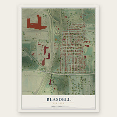
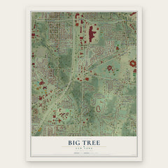
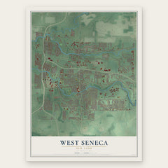
More maps nearby: Windom, Buffalo, Sloan, Town of Hamburg and Village of Orchard Park.
The art of mapping a place
How This Map Was Made
Real places. Remarkable detail. Discover the layers that turn geographic data into a map of home.

The view from above
Aerial imagery reveals the character of the land: woodland, open fields, and the patterns of a place.

The shape of the land
Elevation data brings hills, valleys, and subtle changes in the landscape into view.

The details of home
Roads, waterways, and building footprints come together to make the map feel unmistakably local.

Geography becomes art
Considered color, shading, and typography bring the layers together in a map made for your wall.


Process illustrated with Mendon, Massachusetts. Aerial imagery: USDA NAIP. Terrain: USGS 3D Elevation Program. Map details and finished artwork: KNOWOL.
The Details
About This Print
Choose an archival matte print, or a black or white Ayous wood frame. The archival matte print is unframed.
Select your size and finish above to see the matching product image and price.
Materials & Craftsmanship
A contemporary map with the character of a classic atlas, printed on archival matte paper. Optional frames are made from Ayous wood.
Your printed map does not include the watermark shown in the full-map preview.
Shipping & Delivery
Free shipping within the United States. Every print is made to order in the USA.
Buying a gift? Add a note in your cart and we'll include it. We never put prices in the package.
Prints ship within 2 to 3 business days. Allow 7 to 10 days total from ordering for delivery. Timing may vary during holidays or periods of high order volume.
Read our shipping policy.
Returns and damaged prints
Each print is made to order. Change-of-mind refunds are not available after production.
If your print arrives damaged, misprinted or incorrect, contact support@knowol.com within 30 days of receiving it. Include your order number, photos and a description of the issue.
Read our full refund and replacement policy. For questions about your order, email support@knowol.com.