
Search for another town




Free U.S. delivery 7 to 10 days after you order
Cheektowaga, New York Map Art
Building by building, with labeled streets and shaded relief.
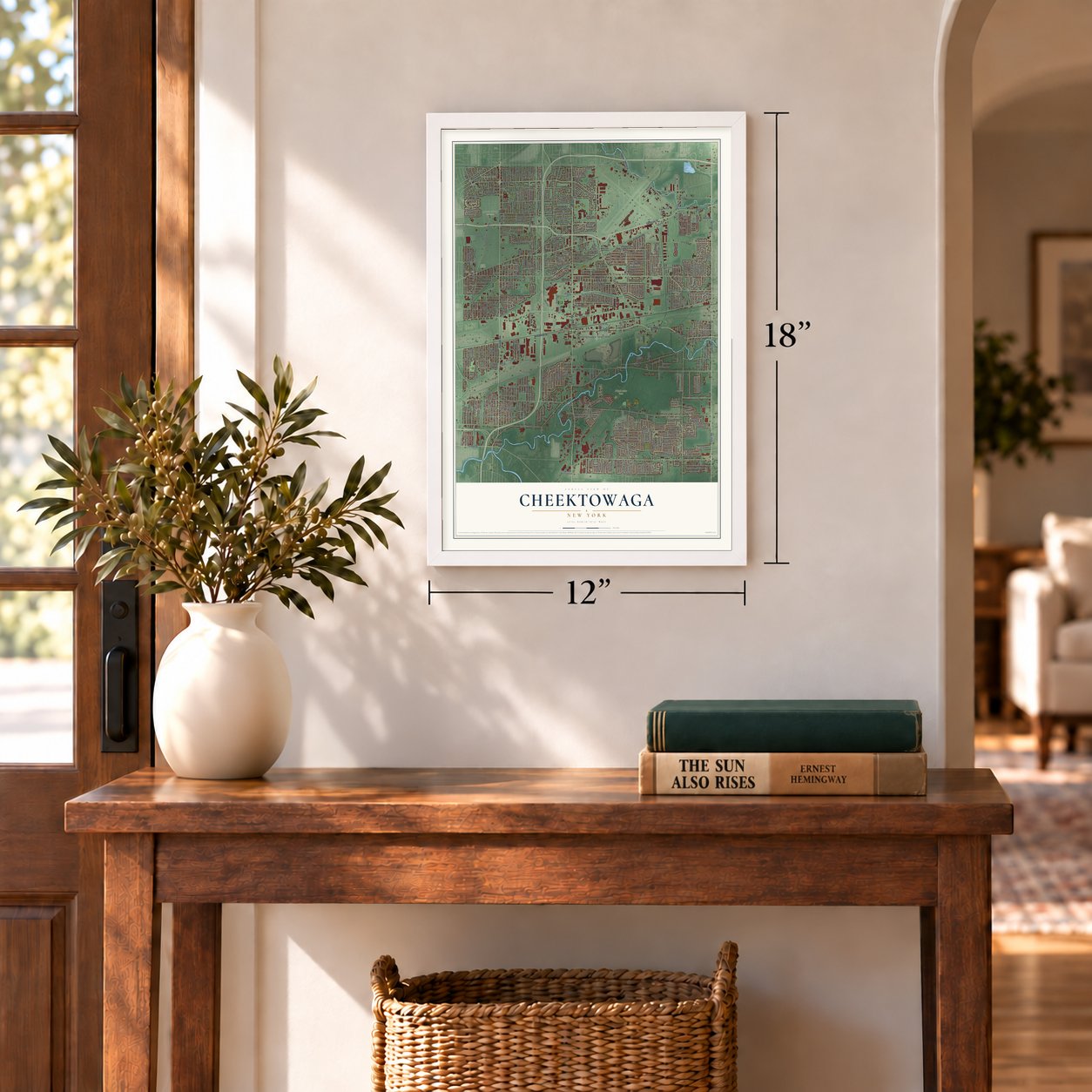
12" x 18" Archival Matte Print
A Map of Home. A Work of Art.
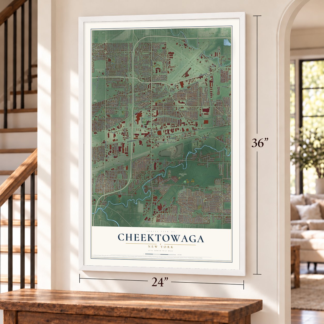
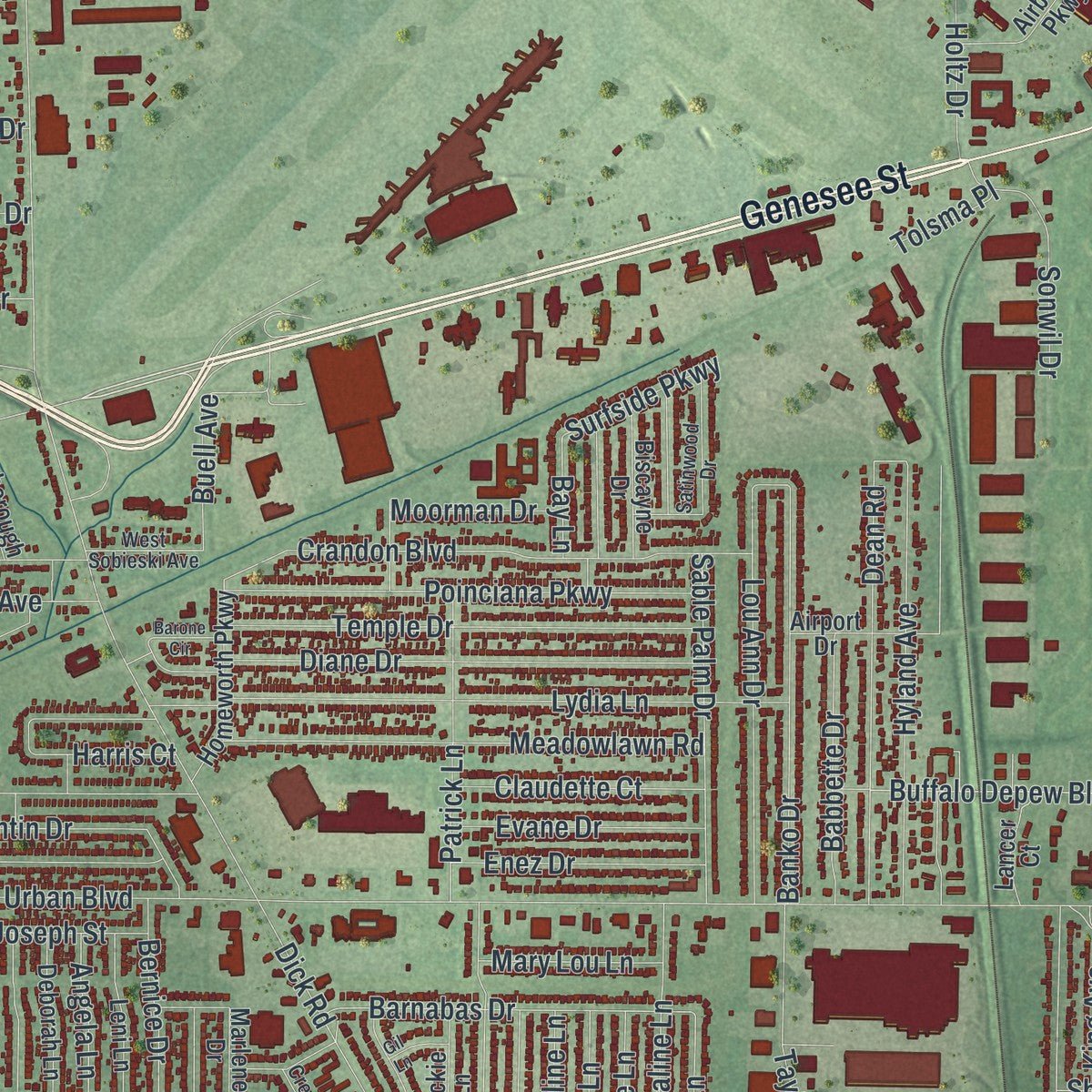
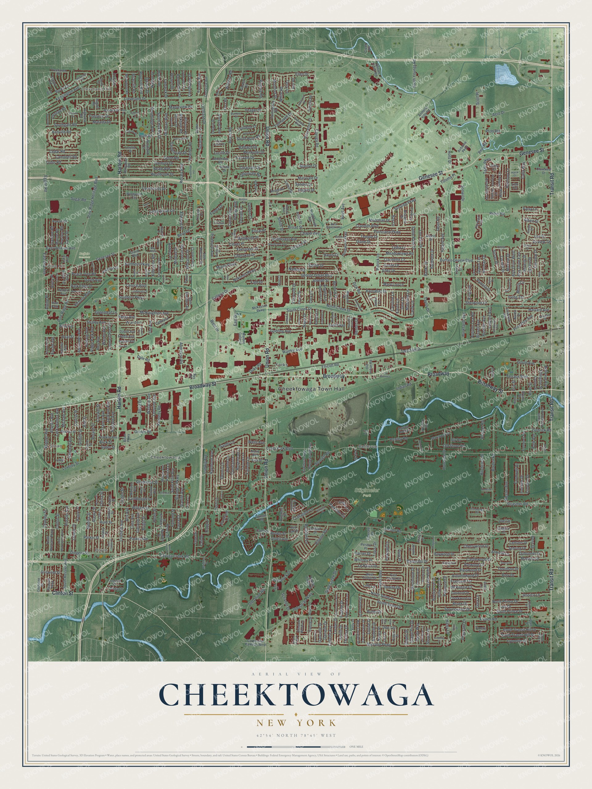
Explore Cheektowaga, New York from a whole new perspective. Created using aerial imagery and detailed geographic data, this map captures Cheektowaga building by building, with labeled streets, familiar landmarks, and shaded topographical relief that highlights the natural contours of the landscape.
Combining modern data with the timeless character of a vintage atlas, this map is just as interesting up close as it is beautiful on the wall. Whether you grew up in Cheektowaga, spent memorable years there, or call it home today, this unique map is a great way to celebrate a place that means something to you. Zoom in on the preview to look for your street, and then order a print to put your memories on the wall.
Three ways to hang it
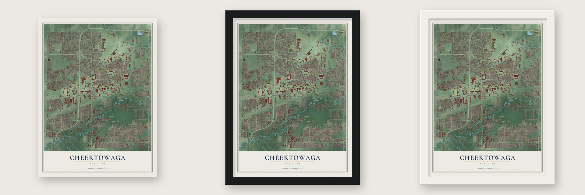
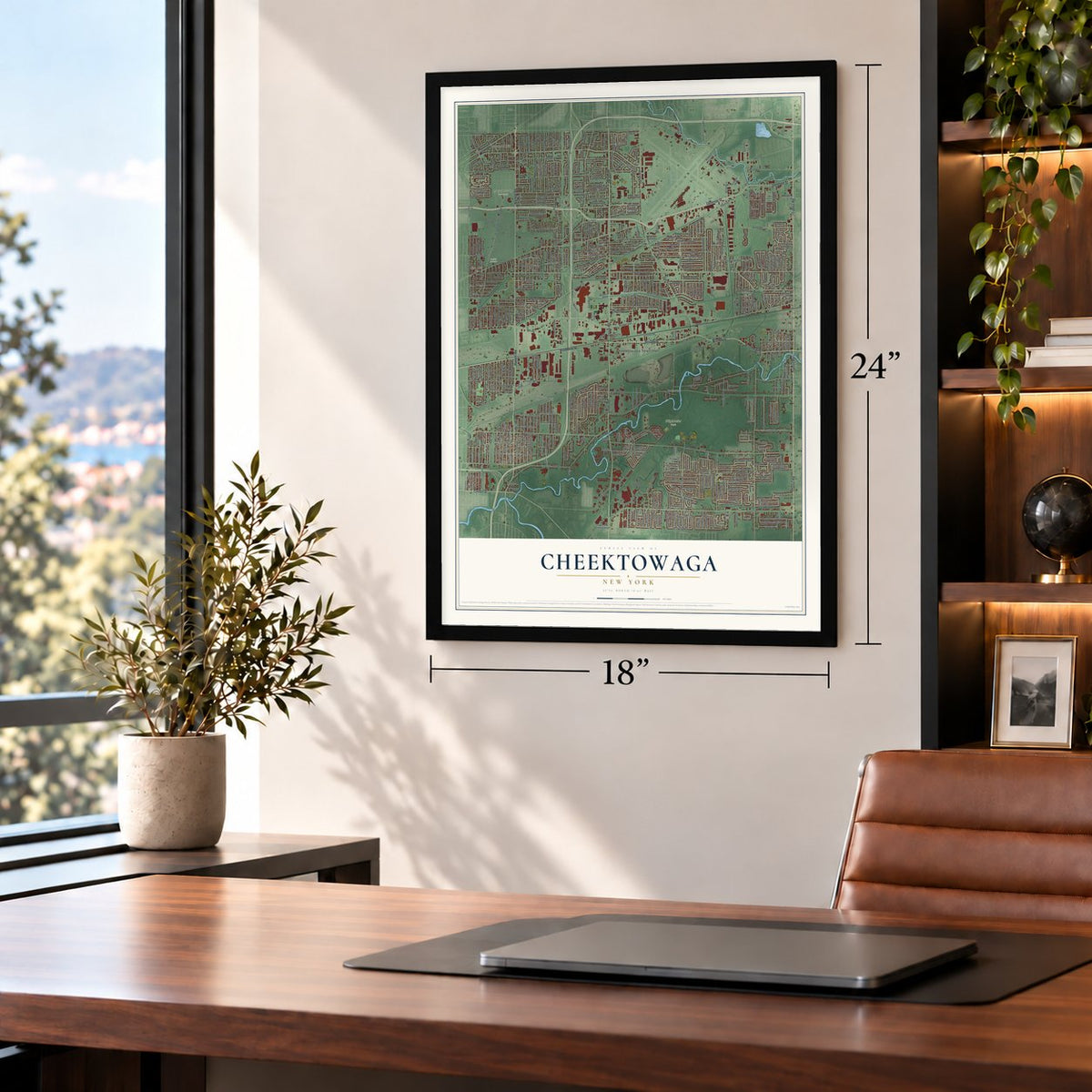
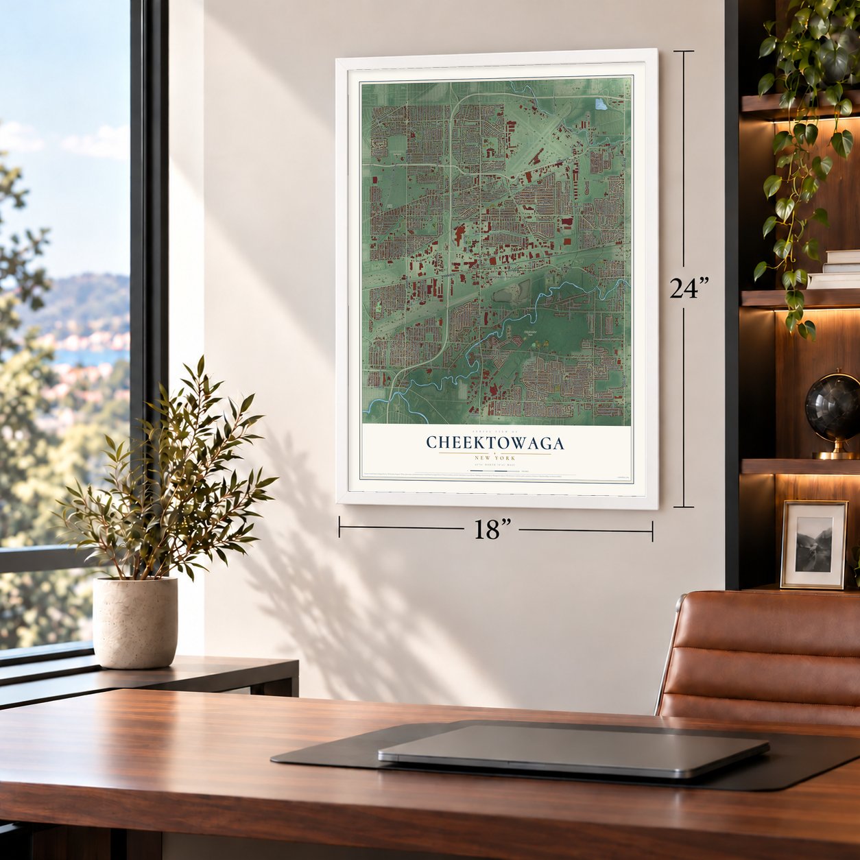
Unframed archival matte, a black wood frame or a white wood frame.
Up close
Geography Worth Displaying
This map was created using accurate cartographic data and authoritative geographic sources, including the U.S. Geological Survey (USGS) and FEMA. The map brings together terrain, waterways, roads, and building detail. The majority of the streets are labeled, houses are accurately depicted, and the topography is derived from government sources. Combining local data with carefully composed color and shading leads to this beautifully detailed Cheektowaga artwork for your wall.
Rather than simply showing street outlines, we’ve included as many of the street names as we could reasonably fit on the map while keeping their names legible. Zoom in on the high resolution preview to see exactly what’s on the map. We truly set out to create a statement piece for anyone who loves Cheektowaga. So whether it’s for you, or a gift for someone you love, we hope this map of Cheektowaga brings back fond memories.
Explore the full map of Cheektowaga, New York and read about the local places it shows.

Find your street
Names on the Cheektowaga map
Every name below is printed on this map. Look for your street, your school, the park where you played, or the pond down the road.
Places and landmarks14
- Cheektowaga Town Hall
- Cleveland Hill
- Doyle
- Sloan
- Pine Hill
- Buffalo Cemetery
- Mount Calvary Cemetery
- Stiglmeier Park
- Bellevue
- Cheektowasa
- Forks
- Walden
Show all 14 places
- Pine Park
- Villa Park
Streets and roads618
- Transit Road
- Harlem Road
- Genesee Street
- Broadway
- Broadway Street
- Union Road
- Clinton Street
- Mapleview Road
- Cleveland Drive
- Huth Road
- Buffalo Depew Boulevard
- Jenny Lane
- Walden Avenue
- George Urban Boulevard
- French Road
- Losson Road
- Como Park Boulevard
- Borden Road
- William Street
- Aero Drive
- Maryvale Drive
- Dick Road
- Beach Road
- Cayuga Creek Road
- Cayuga Road
- Rowley Road
- North Creek Drive
- Ellicott Road
- South Creek Drive
- Indian Road
Show all 618 streets
- Barbados Drive
- Vern Lane
- Ludwig Avenue
- McNaughton Avenue
- Eggert Road
- Cedargrove Circle
- Pine Ridge Heritage Boulevard
- Lydia Lane
- Towers Boulevard
- Dingens Street
- Lackawanna Avenue
- Kennedy Road
- Pine Ridge Road
- Nagel Drive
- Ellen Drive
- Le Havre Drive
- Shanley Street
- Galleria Drive
- Kenville Road
- Zoerb Avenue
- North Seine Drive
- Duke Road
- Lou Ann Drive
- Rehm Road
- Bennett Road
- Hillpine Road
- Danbury Drive
- Atlantic Avenue
- Kensington Avenue
- Seton Road
- Claudette Court
- Meadowlawn Road
- Whitney Place
- Poinciana Parkway
- Diane Drive
- Temple Drive
- Claude Drive
- Dale Road
- Dean Road
- Calla Way
- Crandon Boulevard
- Wagner Avenue
- Westbrook Drive
- Parkside Circle
- Zurbrick Road
- Halstead Avenue
- Steven Drive
- Santin Drive
- Strasmer Road
- Oehman Boulevard
- Chapel Avenue
- Raymond Avenue
- Croydon Drive
- South Huxley Drive
- Hyland Avenue
- Castlewood Drive
- Roland Street
- Autumnwood Drive
- Fairelm Lane
- Griffith Street
- Pfohl Road
- Boll Street
- Clover Place
- Orchard Place
- Woodridge Avenue
- Slate Creek Drive
- Barnabas Drive
- East Drive
- Standard Parkway
- Constance Lane
- Beale Avenue
- Crisfield Avenue
- Topaz Drive
- Dubonnet Drive
- Cornell Drive
- Sherwood Court
- North Transit Hill Drive
- Baywood Drive
- Sprucewood Drive
- Lovejoy Street
- Gary Lane
- West Drive
- Messer Avenue
- Sable Palm Drive
- Banko Drive
- Nadine Drive
- Tadio Parkway
- Princeton Court
- South Transit Hill Drive
- Harmony Lane
- Broad Street
- Terrace Boulevard
- Evergreen Place
- Saint Felix Avenue
- Heather Road
- Dartwood Drive
- River Street
- Medina Street
- Alaska Street
- Sugar Road
- Rossler Avenue
- Cass Avenue
- Bellevue Avenue
- Harvard Avenue
- Joseph Street
- Lee Street
- Central Boulevard
- Aris Avenue
- Crocker Street
- Gates Street
- Cherokee Drive
- Nokomis Parkway
- Ceil Drive
- South Seine Drive
- Crabapple Lane
- Patrick Lane
- Holtz Drive
- Straley Avenue
- Twin Fair Drive
- Northcrest Avenue
- Harris Court
- Old Union Road
- Rogers Drive
- Burke Drive
- Rein Road
- Garland Avenue
- Tudor Road
- Marrano Parkway
- Clearvale Drive
- Bissell Avenue
- Brentwood Drive
- Gould Avenue
- Honorine Drive
- Curtiss Street
- Alexander Avenue
- Irving Terrace
- Frantzen Terrace
- Fairvale Drive
- Bright Street
- Henry Street
- Gruner Road
- South Rossler Avenue
- Northern Parkway
- Madaline Lane
- Roycroft Boulevard
- Colden Court
- Ridge Park Avenue
- Southgate Road
- Basswood Drive
- Lemoine Avenue
- Burkhardt Avenue
- Joanne Lane
- Sebring Drive
- Groell Avenue
- South Prince Drive
- Stradtman Street
- Babbette Drive
- Andres Place
- Parker Avenue
- Wallace Avenue
- Mildred Drive
- Wheaton Drive
- Taylor Drive
- Toelsin Road
- Bronx Drive
- Parwood Drive
- Hurd Street
- Rutland Avenue
- Dennis Lane
- Rossiter Avenue
- Peinkofer Drive
- Sonwil Drive
- Cherrywood Drive
- Buell Avenue
- Jackson Avenue
- Foisset Avenue
- South Huth Road
- Beverly Drive
- Birkdale Road
- South Youngs Road
- Lynnette Court
- Helen Street
- Goering Avenue
- Jessica Lane
- Doat Street
- Sandy Lane
- Park Edge Drive
- Francis Avenue
- Freda Avenue
- Enez Drive
- Parker Street
- Evane Drive
- Yeager Drive
- Candlelight Lane
- Aurora Drive
- Bonita Drive
- Old Stone Road
- Briarcliff Road
- Avery Place
- Martinique Drive
- Burdette Drive
- Wellworth Place
- Denise Drive
- Beryl Drive
- Cedar Road
- Gardenvale Drive
- Lochland Drive
- East Delavan Avenue
- Alpine Place
- Madeira Drive
- North Prince Drive
- McKenzie Court
- Community Drive
- Pamela Drive
- Balbach Drive
- Rosemead Lane
- Crescent Court
- Ledyard Avenue
- Cromwell Drive
- Princeton Avenue
- Kemp Avenue
- Bernice Drive
- Campbell Road
- David Avenue
- Hitchcock Drive
- Alys Drive West
- Patricia Lane
- Peach Tree Road
- Anderson Road
- Kilbourne Road
- Victoria Boulevard
- Susan Lane
- Fairhaven Drive
- Fontaine Drive
- Industrial Parkway
- Hedwig Avenue
- Albert Street
- Judith Drive
- Michele Drive
- Unionvale Road
- Fairview Drive
- Susan Drive
- Surfside Parkway
- Erie Street
- Reo Avenue
- Irondale Drive
- Edmund Street
- Leonard Post Drive
- East End Avenue
- Starlite Avenue
- Wanda Avenue
- Southern Parkway
- Collette Avenue
- Rachelle Drive
- Darwin Drive
- Walton Drive
- Audet Drive
- Huxley Drive
- Randy Way
- Jane Drive
- Lamarck Drive
- White Road
- Alys Drive East
- Patsy Lane
- Homewood Avenue
- Autumn Lea Road
- Mafalda Drive
- Penwood Drive
- Lou Drive
- Michael Avenue
- Rushford Lane
- Cunard Avenue
- Wilshire Road
- Cresthaven Drive
- Davidson Drive
- Montfort Drive
- Bory Drive
- Yvonne Avenue
- Morris Circle
- Vegola Avenue
- Preston Road
- Marne Road
- Scott Place
- Ivanhoe Road
- Laura Court
- Mary Lou Lane
- Danielle Drive
- Gabrielle Drive
- Ellington Street
- Airview Terrace
- Carol Drive
- Virginia Road
- Hillwood Drive
- Lemans Drive
- Theresa Drive
- Nancy Place
- Yvette Drive
- Louise Drive
- Greenleaf Lane
- Donald Drive
- Lordan Drive
- Louis Street
- Grand Prix Drive
- Rosary Boulevard
- Miami Parkway
- Fradine Drive
- Innsbruck Drive
- Ellsworth Drive
- Angela Lane
- Pinehurst Avenue
- Moorman Drive
- Jane Lane
- Lloyd Drive
- Griswold Street
- Park Avenue
- Pheasant Lane
- Ellwood Place
- Allied Drive
- Haley Lane
- Benbro Drive
- Lille Lane
- Colton Street
- Lucy Lane
- Sandra Drive
- Joel Drive
- Armond Lane
- King Avenue
- Karen Lane
- Parktrail Lane
- Fath Drive
- Green Terrace
- Vernon Drive
- Norman Drive
- Cardy Lane
- Trudy Lane
- Fonda Drive
- The Avenue
- Keicher Road
- Dee Terrace
- Caroline Lane
- Garnet Drive
- Linden Street
- Scrivner Drive
- Brown Street
- Terry Lane
- Euclid Avenue
- Park Place
- Viola Drive
- Wells Avenue
- Marilyn Drive
- Benz Drive
- Smith Street
- Blick Street
- Tolsma Place
- Ely Road
- Lucille Drive
- Delphi Drive
- Floral Place
- Celina Street
- Bay Lane
- Grand Boulevard
- University Avenue
- Rowan Road
- Amherst Villa Road
- Eileen Court
- Airborne Parkway
- Farmingdale Road
- Reiman Street
- Lancer Court
- Currier Street
- Marywood Drive
- Blossom Wood Lane
- North Pleasant Parkway
- Fairoaks Lane
- Tammy Lane
- Annamarie Terrace
- Hutchens Drive
- Merrymont Road
- Bryant Street
- Parwood Trail
- Windwood Cts
- Suzette Drive
- Cathedral Lane
- Century Road
- Girard Avenue
- Mansion Avenue
- Isabelle Road
- Hedley Street
- Glidden Street
- South Ellington Avenue
- Gregory Court
- Milsom Avenue
- Pebble Creek Drive
- Marlene Drive
- Saint Boniface Road
- Concord Drive
- Homeworth Parkway
- Ravenswood Terrace
- Hoerner Avenue
- Highview Road
- Jerome Court
- Nandale Drive
- Canton Street
- East Toulon Drive
- West Cavalier Drive
- Pleasant Parkway
- Leni Lane
- East Cavalier Drive
- Juniper Lane
- Loretto Drive
- Gardenville Parkway West
- Hawthorne Avenue
- Hemenway Road
- Allendale Road
- Herbert Avenue
- Kaufman Drive
- Deborah Lane
- Walden Galleria
- McKesson Parkway
- Freemont Avenue
- Frederick Street
- West Toulon Drive
- Ontario Drive
- Biscayne Drive
- Elaine Court
- Woodland Terrace
- Cheekwood Drive
- Bison Parkway
- Delray Drive
- Lynncrest Terrace
- Crestview Avenue
- Strasbourg Drive
- Garden Road
- Hillsboro Road
- Rowley Hollow
- Rosedale Drive
- Bert Road
- Jenny Court
- Linda Drive
- Cochrane Street
- Treehaven Road
- Brookfield Lane
- Franklin Avenue
- Oakwood Drive
- Roxborough Avenue
- Red Oak Drive
- Ashleaf Drive
- Norine Drive
- Barrymore Road
- Bink Street
- Nardin Drive
- East Melcourt Drive
- Wagner Street
- Sugnet Road
- Daniel Avenue
- Abeles Avenue
- Lois Drive
- Old Indian Road
- Old Farm Road
- Peridot Place
- Thruway Court
- Airport Drive
- Bahama Lane
- Arthur Street
- Grattan Street
- Jackie Lane
- Cloverleaf Drive
- Wildy Avenue
- Ellicott Creek Road
- Long Avenue
- Patton Lane
- Pine Ridge Terrace
- Carefree Lane
- Flora Road
- Emerald Lane
- Awood Place
- Kelly Drive
- Park Street
- Marie Avenue
- Sunset Road
- Zent Court
- Philip Drive
- Slate Drive
- Ray Road
- Creek Heights
- Zeller Lane
- Lilac Terrace
- Hatch Court
- Rushford Hollow Drive
- Brookedge Road
- East Grand Boulevard
- Woodgate Drive
- Greenway Boulevard
- Melody Lane
- Chateau Court
- Southcrest Avenue
- Colby Street
- Satinwood Drive
- Mayberry Drive East
- Meadow Place
- Sherry Drive
- George Street
- Knollwood Drive
- Elmleaf Drive
- Liberty Terrace
- Lewan Drive
- Donna Court
- Village Lane
- Dartmouth Drive
- John Brian Lane
- Randolph Avenue
- Thornwood Drive
- Lindbergh Court
- West Sobieski Avenue
- Dania Drive
- Nassau Lane
- Vanderbilt Avenue
- Kingston Lane
- Creekside Drive
- Creekview Drive
- Jamaica Lane
- South View Drive
- Tamark Court
- Sylvia Drive
- Panama Lane
- Mann Street
- Bostwick Place
- Estelle Drive
- Maishoss Street
- Woodbine Place
- Duchess Court
- Roy Alley
- Saint Lucian Court
- Autumn Lane
- Tyrol Drive
- Prince Drive
- Anthony Avenue
- Cheryl Lane
- Verdun Place
- Mona Court
- Eastland Parkway
- Wedgewood Drive
- Midland Drive
- Mayberry Drive West
- Garden Village Drive
- Barone Circle
- Wabash Avenue
- Laurentian Drive
- Maria Lane
- Columbus Street
- Federal Avenue
- Markus Drive
- North Meadowbrook Parkway
- Applewood Road
- Winston Avenue
- Olcott Place
- Boxwood Lane
- Rondelay Drive
- Ahepa Drive
- Meaford Road
- Delmar Avenue
- Cloverdale Road
- Old Maryvale Drive
- South Glidden Street
- Petan Drive
- Algiers Lane
- Bigelow Road
- Wainwright Road
- Wyndmoor Court
- Roswell Road
- Francine Lane
- Loxley Road
- Bigelow Place
- Nantucket Drive East
- Sierra Drive
- Old Broadway
- Woodside Lane
- South Henry Street
- Gilmore Drive
- Lorraine Lane
- Lena Avenue
- Paradise Court
- Gil Lane
- Little Lane
- Rost Place
- Croy Avenue
- First Street
- Leo Place
Names are listed as they appear on the printed map. Zoom into the product photos to find them.
About Cheektowaga, New York
Cheektowaga is a New York community in Erie County. The community was established in 1977. The 2020 census counted 89,877 residents.
- Established in 1977The community was established in 1977.
- Erie CountyCheektowaga is part of Erie County in New York.
- 89,877 residentsRecorded in the 2020 census.
Keep exploring New York
Cheektowaga is one of 2,112 New York towns we've mapped. Every dot on the map is a print of its own.
The search covers every state, New York first.
Near Cheektowaga
Order 2 or more town maps and save 10%. Shown in the size and finish you picked above, so they hang as a set.
- Depew 12" x 18" / Archival Matte Print $39.99
- Sloan 12" x 18" / Archival Matte Print $39.99
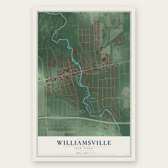
- Williamsville 12" x 18" / Archival Matte Print $39.99

More maps nearby: Village of Lancaster, West Seneca, Eggertsville, Harris Hill and Town of Lancaster.
The art of mapping a place
How This Map Was Made
Real places. Remarkable detail. Discover the layers that turn geographic data into a map of home.

The view from above
Aerial imagery reveals the character of the land: woodland, open fields, and the patterns of a place.

The shape of the land
Elevation data brings hills, valleys, and subtle changes in the landscape into view.

The details of home
Roads, waterways, and building footprints come together to make the map feel unmistakably local.

Geography becomes art
Considered color, shading, and typography bring the layers together in a map made for your wall.


Process illustrated with Mendon, Massachusetts. Aerial imagery: USDA NAIP. Terrain: USGS 3D Elevation Program. Map details and finished artwork: KNOWOL.
The Details
About This Print
Choose an archival matte print, or a black or white Ayous wood frame. The archival matte print is unframed.
Select your size and finish above to see the matching product image and price.
Materials & Craftsmanship
A contemporary map with the character of a classic atlas, printed on archival matte paper. Optional frames are made from Ayous wood.
Your printed map does not include the watermark shown in the full-map preview.
Shipping & Delivery
Free shipping within the United States. Every print is made to order in the USA.
Buying a gift? Add a note in your cart and we'll include it. We never put prices in the package.
Prints ship within 2 to 3 business days. Allow 7 to 10 days total from ordering for delivery. Timing may vary during holidays or periods of high order volume.
Read our shipping policy.
Returns and damaged prints
Each print is made to order. Change-of-mind refunds are not available after production.
If your print arrives damaged, misprinted or incorrect, contact support@knowol.com within 30 days of receiving it. Include your order number, photos and a description of the issue.
Read our full refund and replacement policy. For questions about your order, email support@knowol.com.