
Search for another town
Free U.S. delivery 7 to 10 days after you order
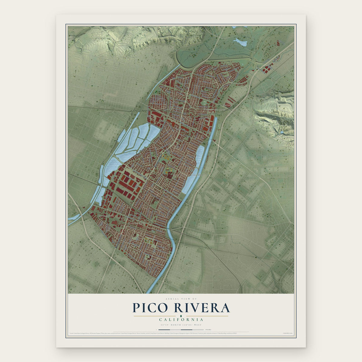
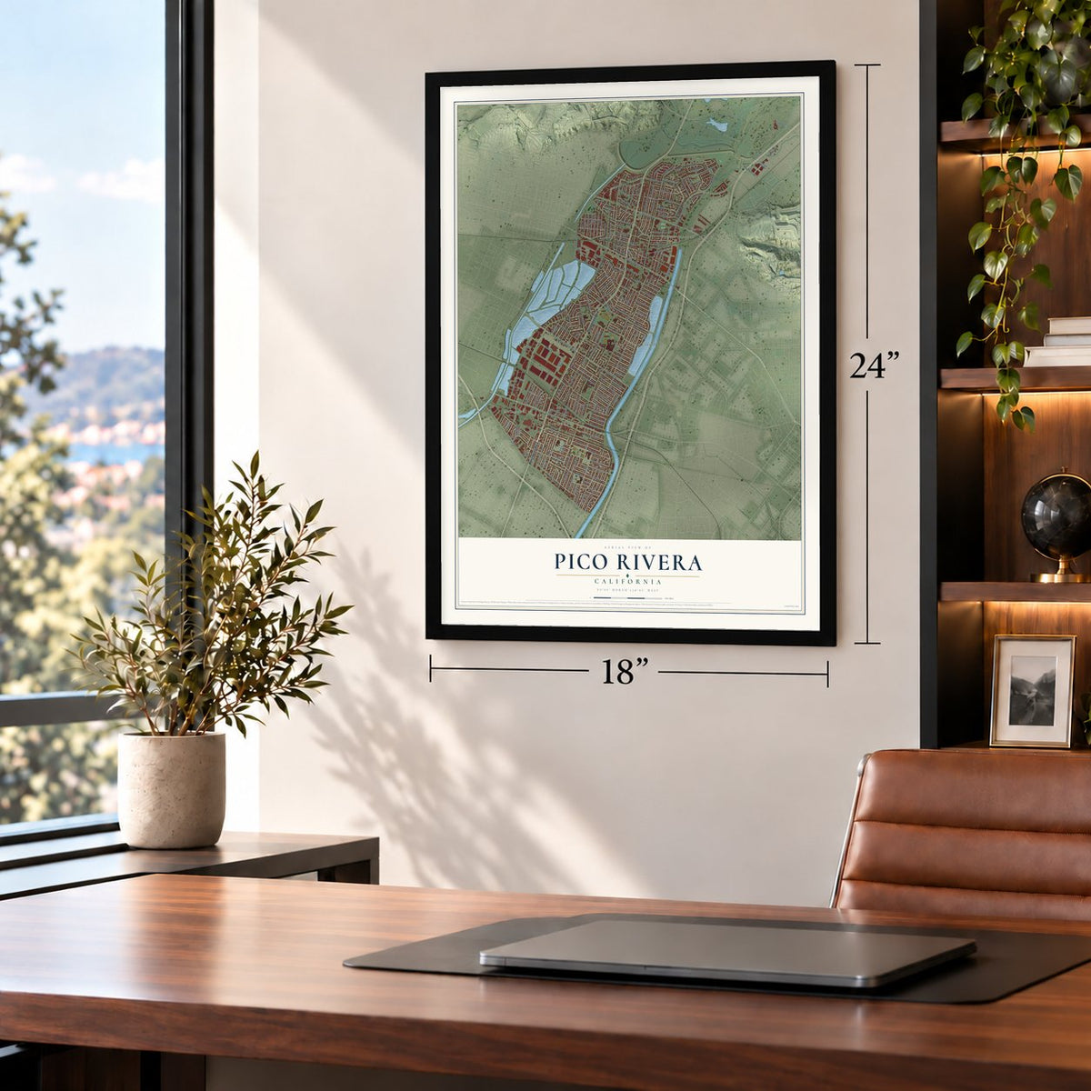
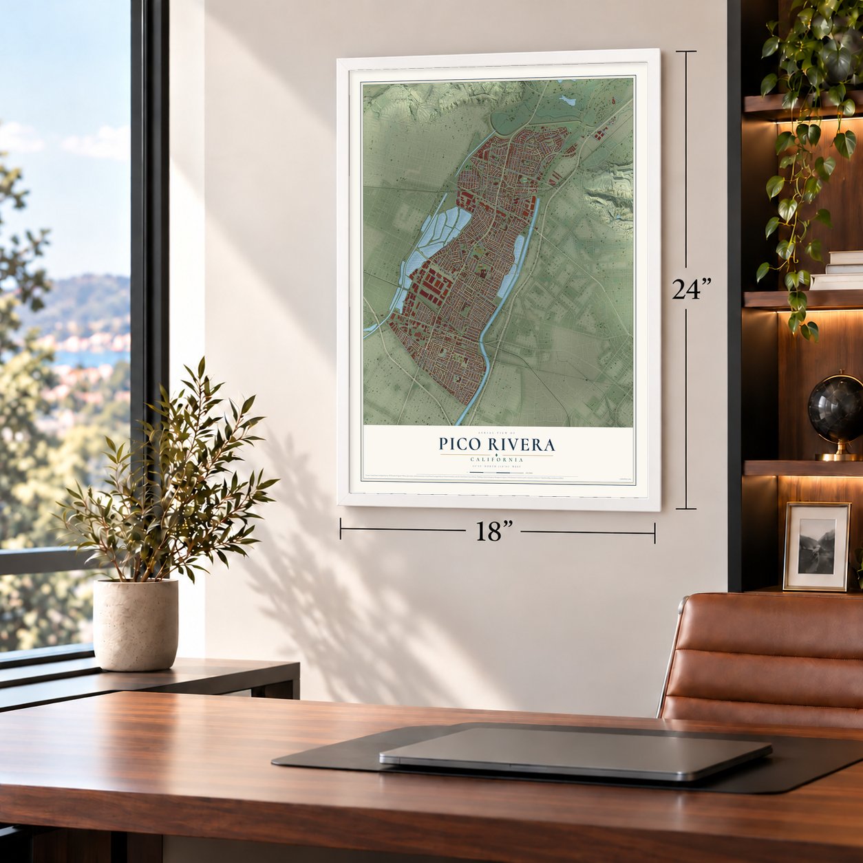
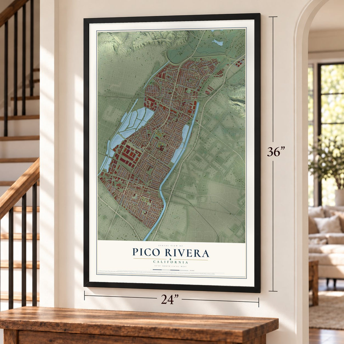
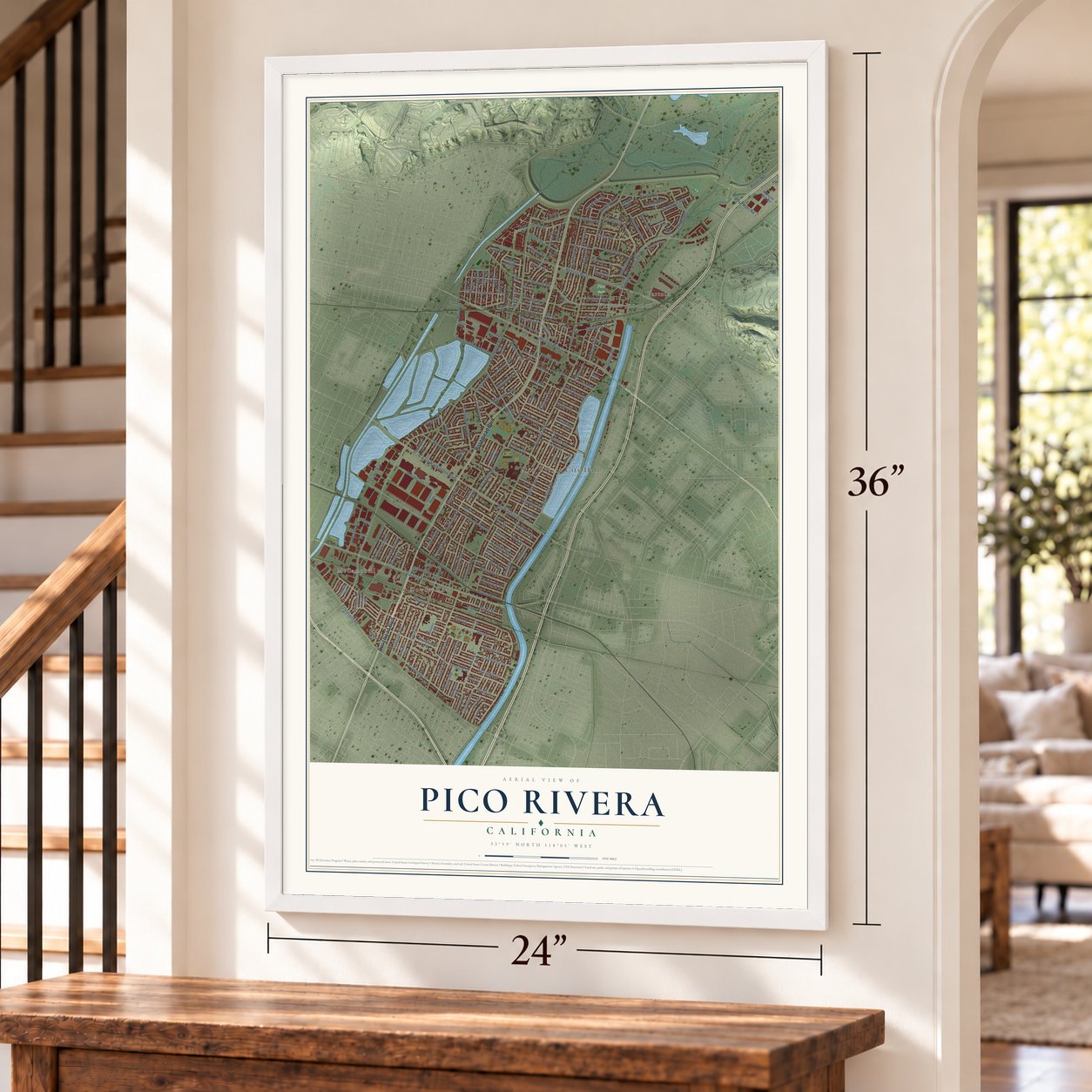
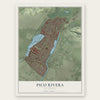
Pico Rivera, California Map Art
Building by building, with labeled streets and shaded relief.
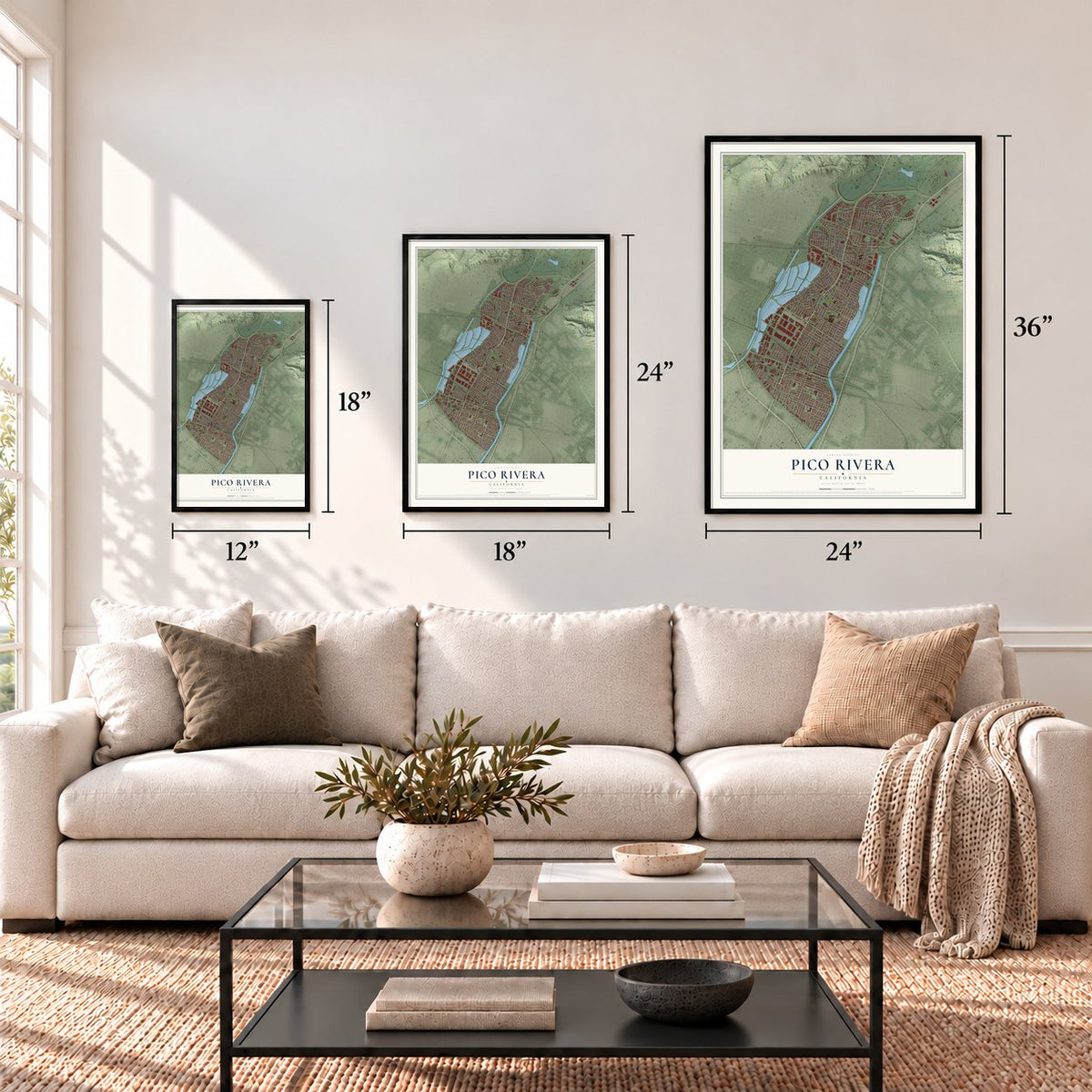
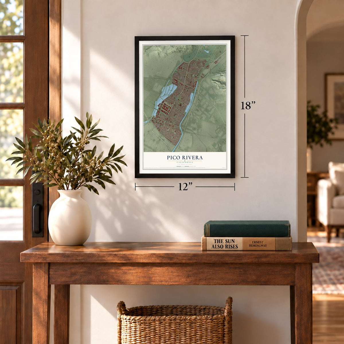
12" x 18" Archival Matte Print
A Map of Home. A Work of Art.
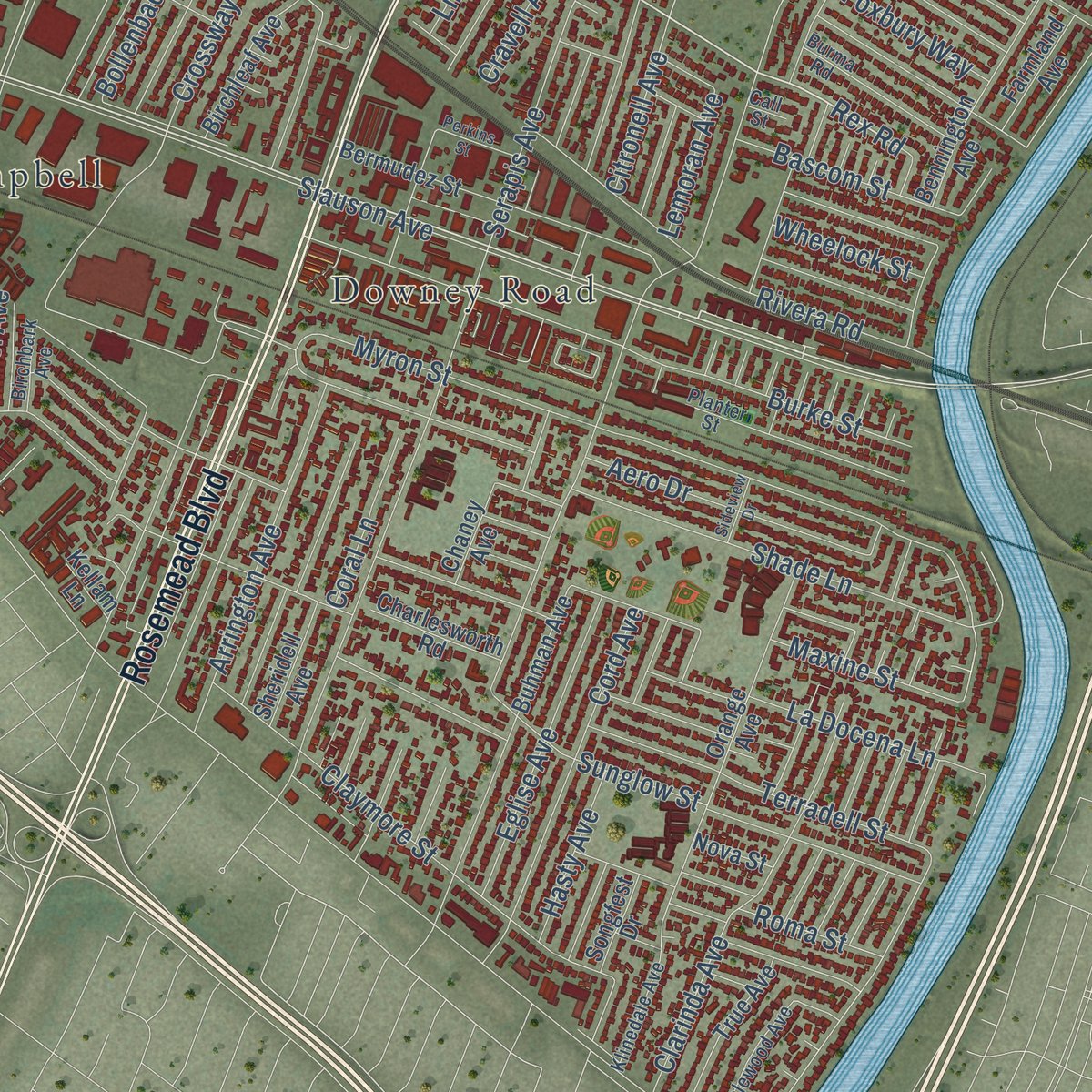
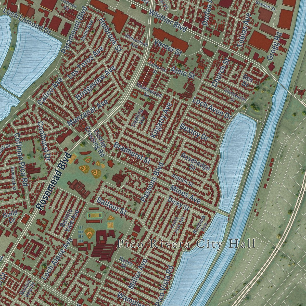
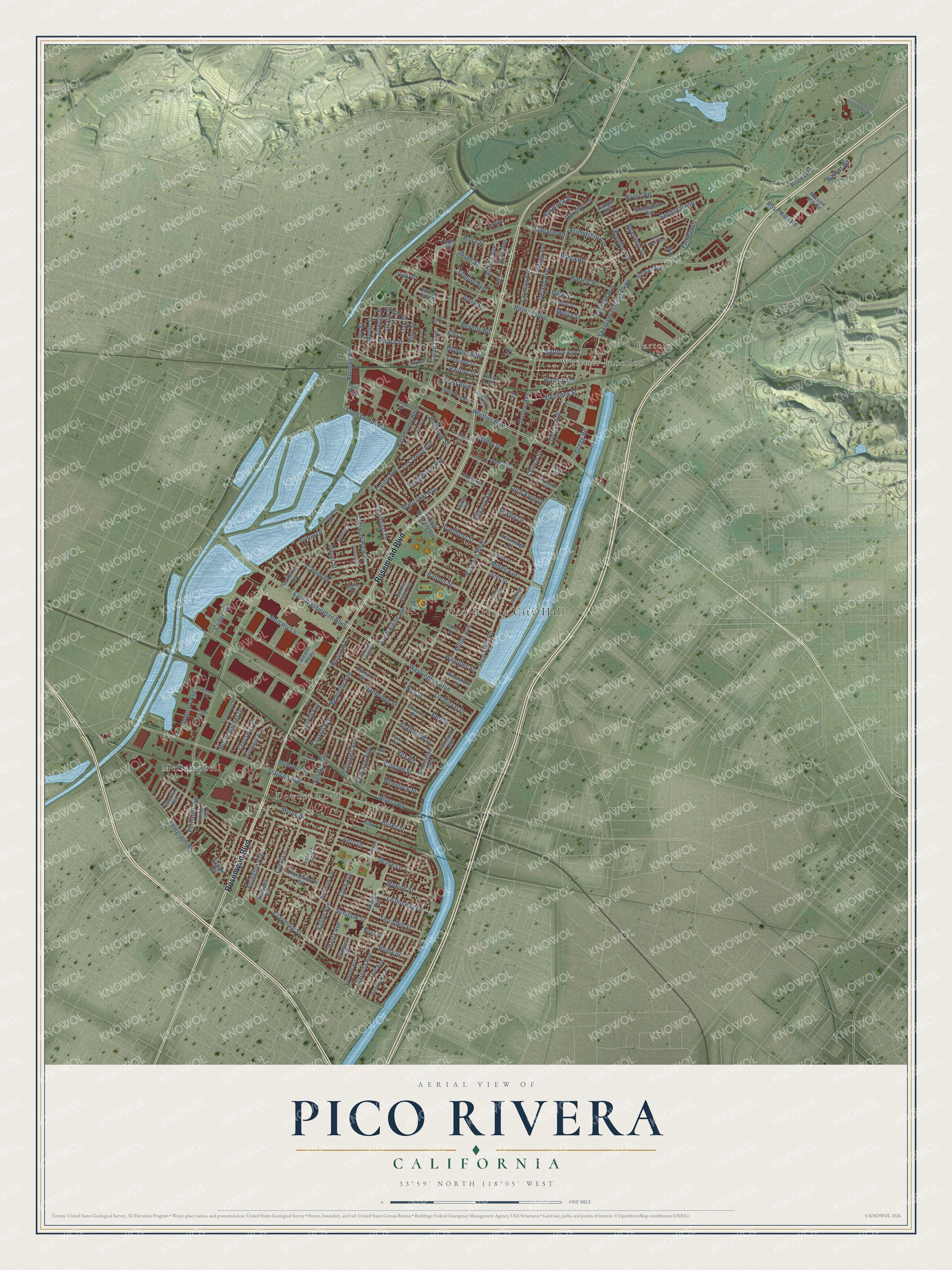
Explore Pico Rivera, California from a whole new perspective. Created using aerial imagery and detailed geographic data, this map captures Pico Rivera building by building, with labeled streets, familiar landmarks, and shaded topographical relief that highlights the natural contours of the landscape.
Combining modern data with the timeless character of a vintage atlas, this map is just as interesting up close as it is beautiful on the wall. Whether you grew up in Pico Rivera, spent memorable years there, or call it home today, this unique map is a great way to celebrate a place that means something to you. Zoom in on the preview to look for your street, and then order a print to put your memories on the wall.
Three ways to hang it
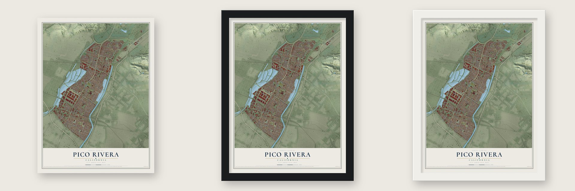
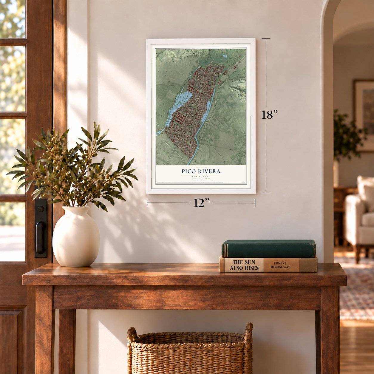
Unframed archival matte, a black wood frame or a white wood frame.
Up close
Geography Worth Displaying
This map was created using accurate cartographic data and authoritative geographic sources, including the U.S. Geological Survey and the Census Bureau. The map brings together terrain, waterways, roads, and building detail. The majority of the streets are labeled, houses are accurately depicted, and the topography is derived from government sources. Combining local data with carefully composed color and shading leads to this beautifully detailed Pico Rivera artwork for your wall.
Rather than simply showing street outlines, we’ve included as many of the street names as we could reasonably fit on the map while keeping their names legible. Zoom in on the high resolution preview to see exactly what’s on the map. We truly set out to create a statement piece for anyone who loves Pico Rivera. So whether it’s for you, or a gift for someone you love, we hope this map of Pico Rivera brings back fond memories.
Read the story behind this map of Pico Rivera, California from 2026.
Find your street
Names on the Pico Rivera map
Every name below is printed on this map. Look for your street, your school, the park where you played, or the pond down the road.
Places and landmarks6
- Pico Rivera City Hall
- Bartolo
- Pico Park
- McCampbell
- Whittier Junction
- Downey Road
Streets and roads194
- Rosemead Boulevard
- Rex Road
- Whittier Boulevard
- East Washington Boulevard
- Crider Avenue
- Rooks Road
- Slauson Avenue
- San Gabriel River Parkway
- Kilgarry Avenue
- Washington Boulevard
- Manzanar Avenue
- Norman Road
- Rose Hills Road
- Paramount Boulevard
- Passons Boulevard
- Pico Vista Road
- Telegraph Road
- Lindsey Avenue
- Beverly Boulevard
- Durfee Avenue
- Cord Avenue
- Beverly Road
- Serapis Avenue
- Maxine Street
- Citronell Avenue
- Eglise Avenue
- Terradell Street
- Mines Avenue
- Myron Street
- La Docena Lane
Show all 194 streets
- Olympic Boulevard
- Loch Alene Avenue
- Bequette Avenue
- Carron Drive
- Crossway Drive
- Lemoran Avenue
- Burke Street
- Sunglow Street
- Aero Drive
- Cravell Avenue
- Millux Avenue
- Sandoval Avenue
- Nan Street
- Deland Avenue
- Layman Avenue
- Loch Lomond Drive
- Shade Lane
- Claymore Street
- Calico Avenue
- Industry Avenue
- Clarinda Avenue
- Rivera Road
- Balfour Street
- Lindell Avenue
- Bollenbacher Drive
- Fairway Drive
- Bradhurst Street
- Acacia Avenue
- West Boulevard
- Hasty Avenue
- Coffman Pico Road
- Tobias Avenue
- Gallatin Road
- Los Toros Avenue
- Danbridge Street
- Bascom Street
- Lochinvar Drive
- Coolhurst Drive
- Kruse Road
- Harrell Street
- Pine Street
- Holbrook Street
- Arrington Avenue
- Banta Road
- Bridgeview Avenue
- Isora Street
- Arma Street
- Fir Street
- Amistad Avenue
- Church Street
- Wampler Street
- Walnut Avenue
- Elnora Street
- Foxbury Way
- Friendship Avenue
- Oak Street
- Mercery Lane
- Bexley Drive
- Calada Avenue
- Bert Street
- Woodford Street
- Saratoga Street
- Stephens Street
- Gregg Road
- Grape Street
- Ibsen Street
- Roma Street
- Orange Street
- Melita Street
- Dork Street
- Myrtle Street
- Baybar Road
- Oaklawn Lane
- Fernadel Avenue
- Coral Lane
- Bartolo Avenue
- Loch Avon Drive
- Ivy Street
- Verner Street
- Tilmont Avenue
- Wheelock Street
- Brierfield Street
- Railton Street
- Blossom Court
- Almo Street
- Unser Street
- Culp Drive
- Triton Drive
- Maris Avenue
- Rosehedge Drive
- True Avenue
- Canford Street
- Gangel Avenue
- Dunlap Crossing Road
- Birchleaf Avenue
- Bermudez Street
- Orange Avenue
- Greenglade Avenue
- Charlesworth Road
- Bennington Avenue
- Songfest Drive
- Creeland Street
- Chaney Avenue
- Par Place
- Dicky Street
- Buhman Avenue
- Farmland Avenue
- Bonnie Vale Avenue
- Candace Avenue
- Beverly Park Place
- Sheridell Avenue
- Aleman Avenue
- Elba Street
- Mission Mill Road
- Rushmore Street
- Samoline Avenue
- Guild Drive
- Stealth Parkway
- Nova Street
- Kellam Lane
- Union Street
- Cope Drive
- Pra Drive
- See Drive
- Spruce Street
- Victoria Lane
- Aldrich Street
- Dalewood Avenue
- Haney Street
- San Gabriel Place
- Havenwood Drive
- Burma Road
- Rimbank Avenue
- Paramount Place
- Planter Street
- Klinedale Avenue
- Schooling Road
- Redbird Drive
- Birchbark Avenue
- Silverette Drive
- Speedway Alley
- Dulin Avenue
- Call Street
- Tilmont Street
- Garrick Avenue
- Dowling Avenue
- Bonnie Vale Place
- Hanan Way
- Sideview Drive
- Warvale Street
- Trojan Street
- Bicentennial Park Access Road
- Glencannon Drive
- Hilton Head Way
- Leona Joan Avenue
- Shenandoah Avenue
- Ardell Road
- Catherine Street
- Sandlock Street
- Fishman Road
- Brasher Street
- Perkins Street
- Powers Avenue
- Pico Court
Names are listed as they appear on the printed map. Zoom into the product photos to find them.
About Pico Rivera, California
Pico Rivera is a city of 62,088 people in southeastern Los Angeles County. It sits on flat ground between two rivers, the Rio Hondo and the San Gabriel. It began as two farm towns. Pico, in the north, took its name from Pío Pico, who was California's last governor under Mexico. Rivera, in the south, took the Spanish word for "riverbank." Late in the nineteenth century the Santa Fe line was built through Rivera and the Los Angeles and Salt Lake Railroad came through Pico. In 1902 the Pacific Electric's Whittier Line reached Rivera too.
In 1887 J. Fletcher Isbell and William T. Bone started the Los Nietos Townsite Company to sell land from Pico's old ranch. One early buyer was Joseph Burke, whose family grew orchards and ran a winery near Rivera. The area stayed mostly farmland until after World War II, when the demand for houses brought in builders. In January 1958 Pico and Rivera joined as one city, Los Angeles County's 61st.
- The governor's ranch and houseMuch of the land sold by the Los Nietos Townsite Company had been part of Rancho Paso de Bartolo, which belonged to Pío Pico. His house stands inside the city and is on the National Register of Historic Places.
- A Ford plant, 1958 to 1980Ford's Los Angeles Assembly plant opened in 1958 on 157 acres at the corner of Rosemead and Washington boulevards. It built cars here for more than two decades before it closed in 1980.
- Home of the B-2 bomberNorthrop Grumman bought the old Ford plant in 1982 for its Advanced Systems Division. When the B-2 Spirit was unveiled in 1988, the public learned that much of the secret bomber had been developed in Pico Rivera. At its peak the work employed about 13,000 people here. The site was torn down in 2001 and became a large shopping center.
- El Rancho Dons, champions in 1966El Rancho High School opened in 1952 under the Whittier Union High School District. In 1962 the high school and the local elementary schools were combined into one district. Its football team, the Dons, won a CIF championship in 1966.
Keep exploring California
Pico Rivera is one of 1,990 California towns we've mapped. Every dot on the map is a print of its own.
The search covers every state, California first.
Near Pico Rivera
Order 2 or more town maps and save 10%. Shown in the size and finish you picked above, so they hang as a set.
- West Whittier-Los Nietos 12" x 18" / Archival Matte Print $39.99
- Montebello 12" x 18" / Archival Matte Print $39.99
- Rose Hills 12" x 18" / Archival Matte Print $39.99
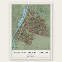
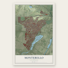
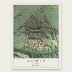
More maps nearby: Commerce, South San Gabriel, Bell Gardens, Santa Fe Springs and Whittier.
The art of mapping a place
How This Map Was Made
Real places. Remarkable detail. Discover the layers that turn geographic data into a map of home.

The view from above
Aerial imagery reveals the character of the land: woodland, open fields, and the patterns of a place.

The shape of the land
Elevation data brings hills, valleys, and subtle changes in the landscape into view.

The details of home
Roads, waterways, and building footprints come together to make the map feel unmistakably local.

Geography becomes art
Considered color, shading, and typography bring the layers together in a map made for your wall.


Process illustrated with Mendon, Massachusetts. Aerial imagery: USDA NAIP. Terrain: USGS 3D Elevation Program. Map details and finished artwork: KNOWOL.
The Details
About This Print
Choose an archival matte print, or a black or white Ayous wood frame. The archival matte print is unframed.
Select your size and finish above to see the matching product image and price.
Materials & Craftsmanship
A contemporary map with the character of a classic atlas, printed on archival matte paper. Optional frames are made from Ayous wood.
Your printed map does not include the watermark shown in the full-map preview.
Shipping & Delivery
Free shipping within the United States. Every print is made to order in the USA.
Buying a gift? Add a note in your cart and we'll include it. We never put prices in the package.
Prints ship within 2 to 3 business days. Allow 7 to 10 days total from ordering for delivery. Timing may vary during holidays or periods of high order volume.
Read our shipping policy.
Returns and damaged prints
Each print is made to order. Change-of-mind refunds are not available after production.
If your print arrives damaged, misprinted or incorrect, contact support@knowol.com within 30 days of receiving it. Include your order number, photos and a description of the issue.
Read our full refund and replacement policy. For questions about your order, email support@knowol.com.