
Search for another town



Free U.S. delivery 7 to 10 days after you order
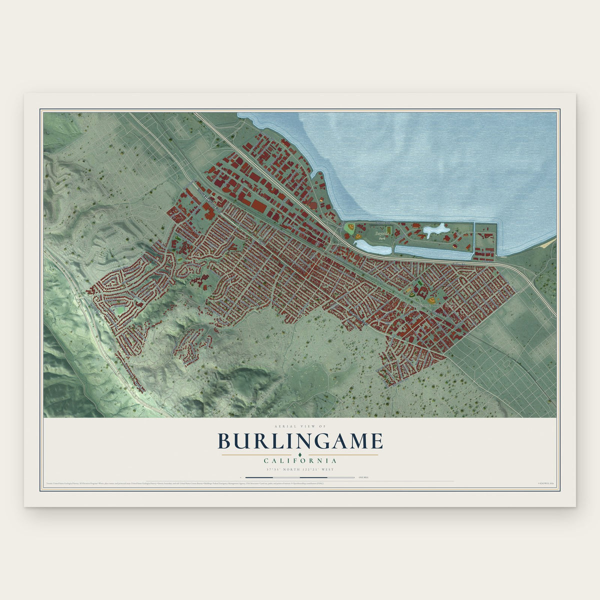
Burlingame, California Map Art
A new map of Burlingame, California, made in 2026 and printed to order on thick archival matte paper.
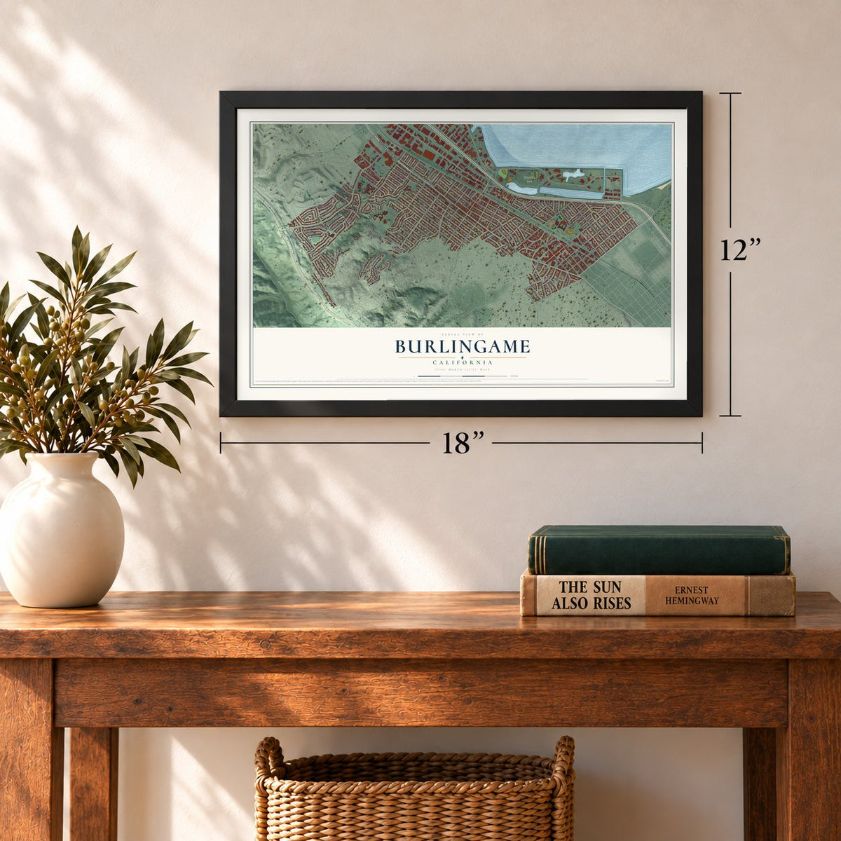
12" x 18" Archival Matte Print
A Map of Home. A Work of Art.
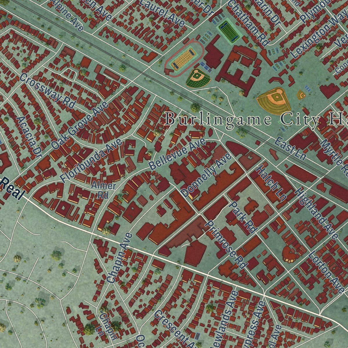
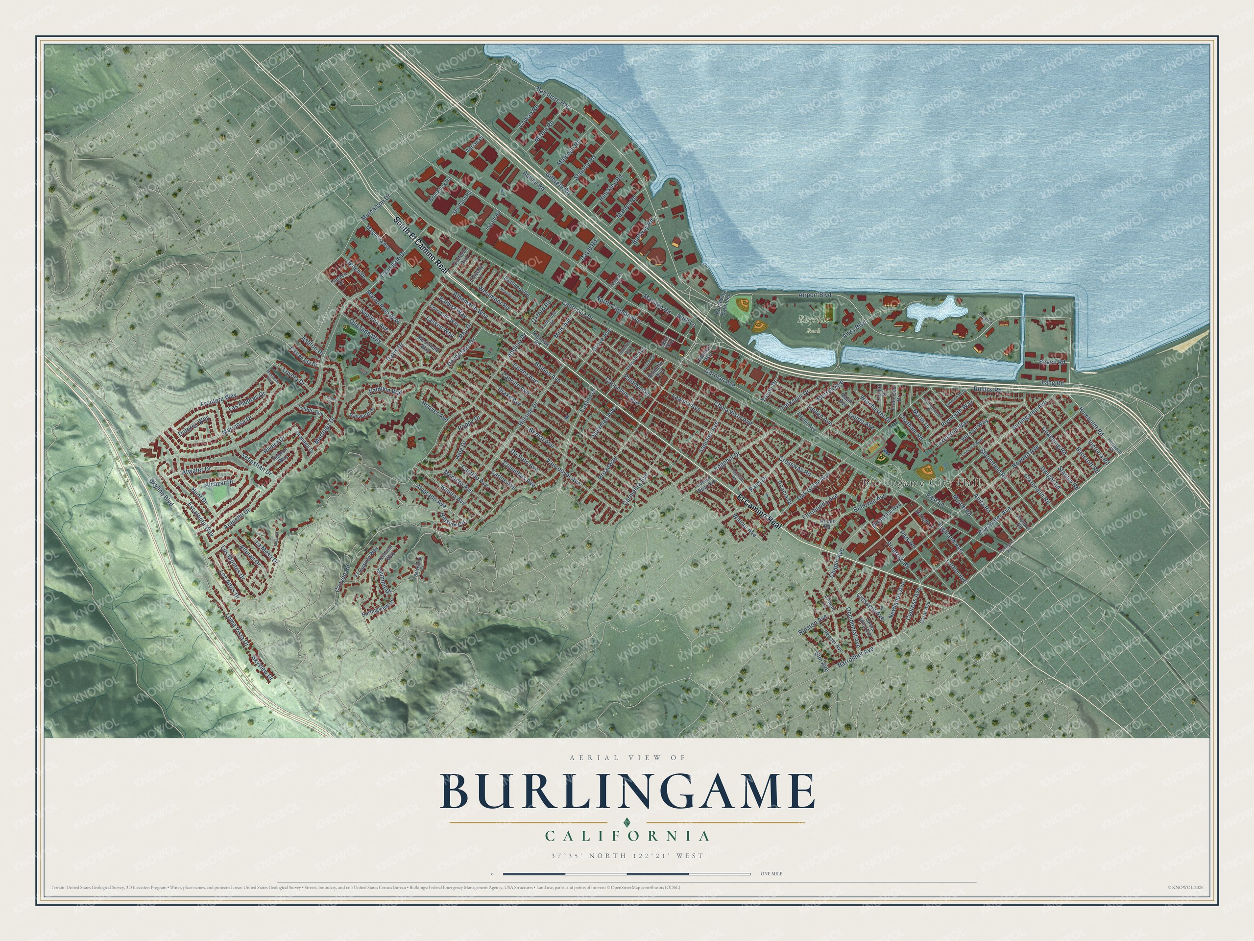
Explore Burlingame, California from a whole new perspective. Created using aerial imagery and detailed geographic data, this map captures Burlingame building by building, with labeled streets, familiar landmarks, and shaded topographical relief that highlights the natural contours of the landscape.
Combining modern data with the timeless character of a vintage atlas, this map is just as interesting up close as it is beautiful on the wall. Whether you grew up in Burlingame, spent memorable years there, or call it home today, this unique map is a great way to celebrate a place that means something to you. Zoom in on the preview to look for your street, and then order a print to put your memories on the wall.
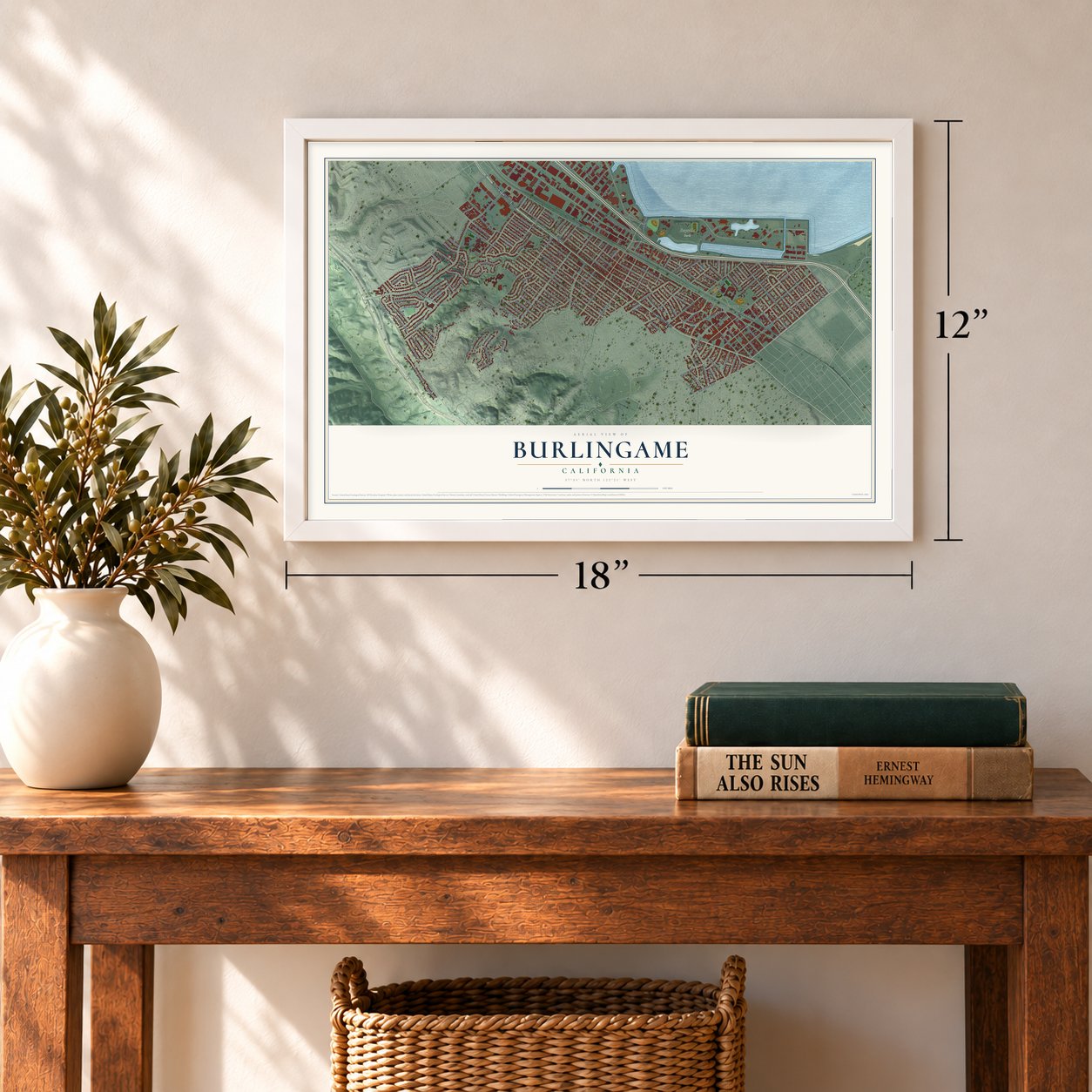
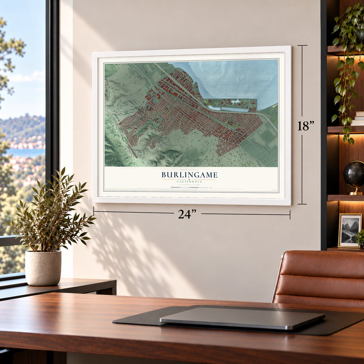
Three ways to hang it
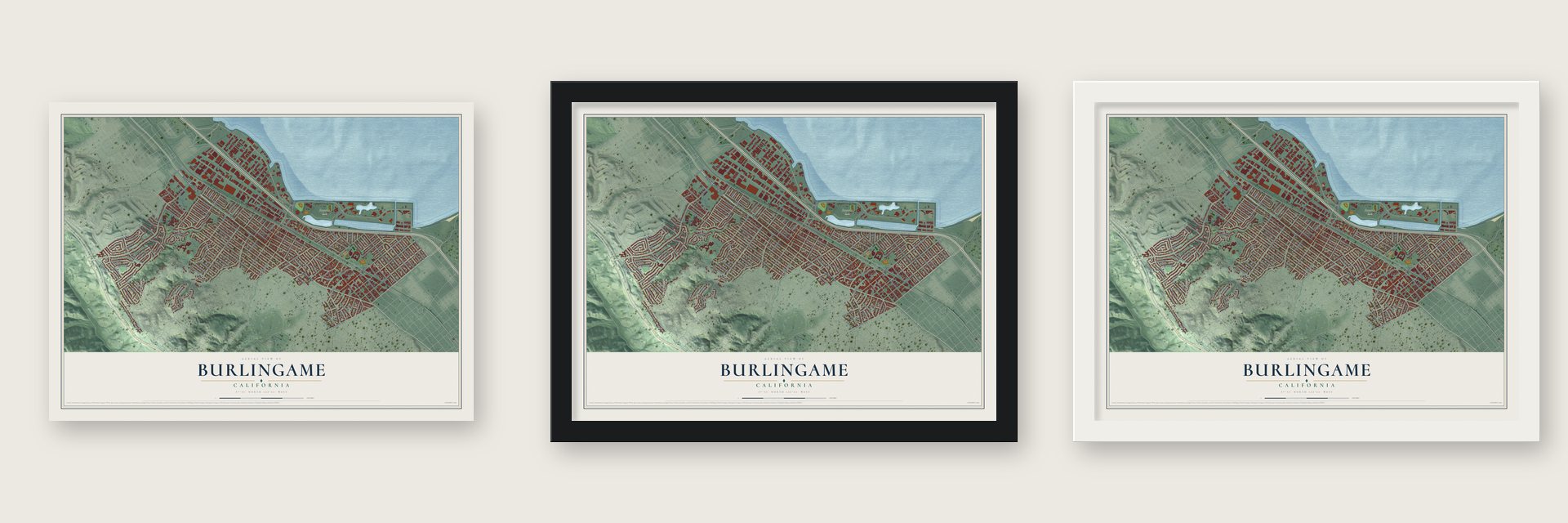
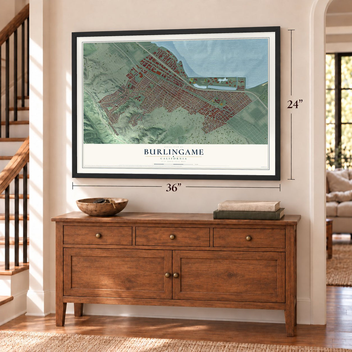
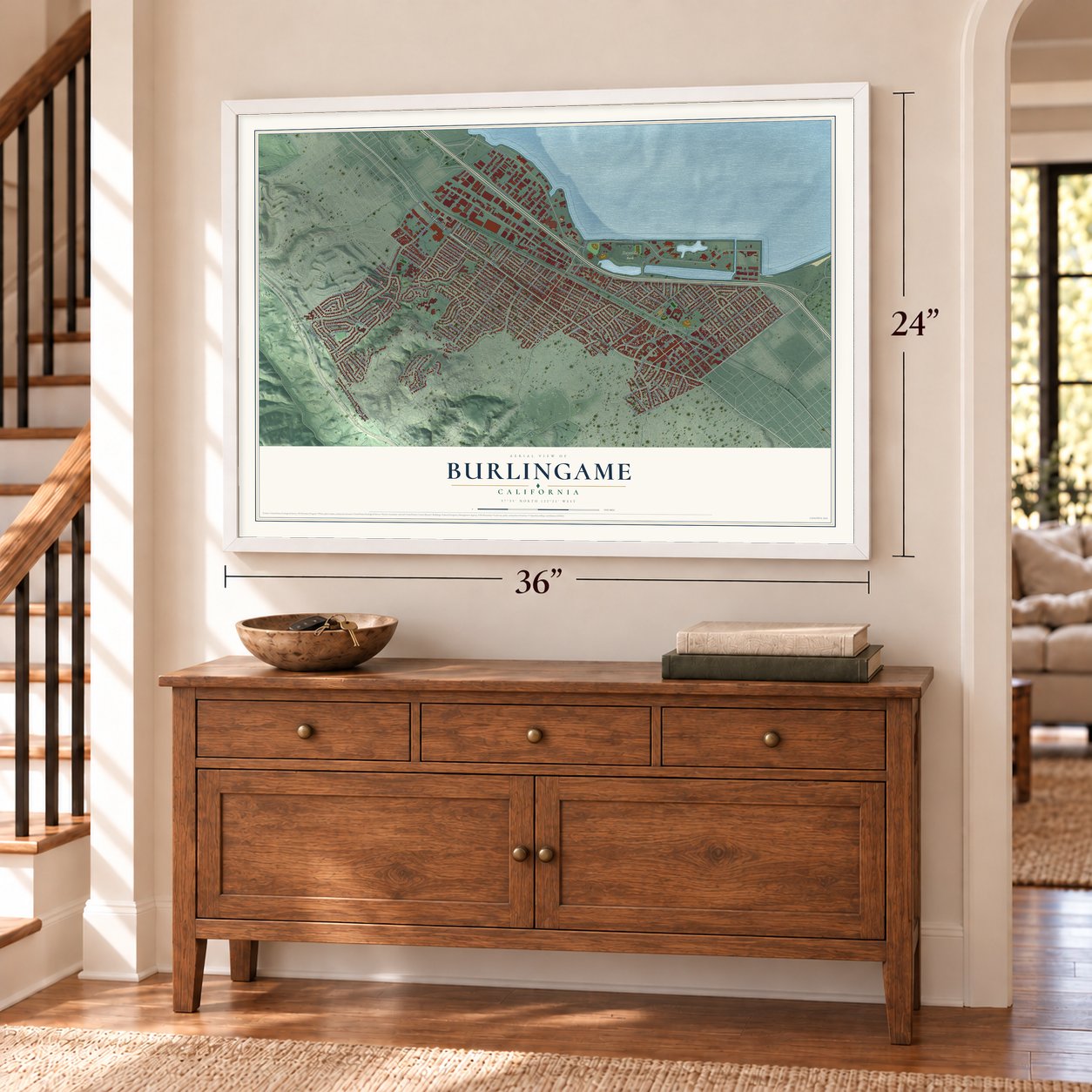
Unframed archival matte, a black wood frame or a white wood frame.
Up close
Geography Worth Displaying
This map was created using accurate cartographic data and authoritative geographic sources, including the U.S. Geological Survey and the Census Bureau. The map brings together terrain, waterways, roads, and building detail. The majority of the streets are labeled, houses are accurately depicted, and the topography is derived from government sources. Combining local data with carefully composed color and shading leads to this beautifully detailed Burlingame artwork for your wall.
Rather than simply showing street outlines, we’ve included as many of the street names as we could reasonably fit on the map while keeping their names legible. Zoom in on the high resolution preview to see exactly what’s on the map. We truly set out to create a statement piece for anyone who loves Burlingame. So whether it’s for you, or a gift for someone you love, we hope this map of Burlingame brings back fond memories.
Read the story behind this map of Burlingame, California from 2026.

About Burlingame, California
Burlingame is a city of 31,386 people in San Mateo County, on the San Francisco Peninsula with a long shoreline on the bay. The land first belonged to William Davis Merry Howard, a San Francisco merchant who planted eucalyptus trees here and retired to the property. Howard died in 1856, and the banker William C. Ralston bought the land. In 1868 Ralston named it for his friend Anson Burlingame, the U.S. Ambassador to China.
The 1906 San Francisco earthquake sent many families looking for new homes, and hundreds of Burlingame lots were sold to them. The town was incorporated in 1908. That same year its board of trustees passed an ordinance against cutting, injuring or destroying trees. In 1910 Burlingame annexed the neighboring town of Easton, which is now its Easton Addition neighborhood.
- Kohl Mansion, finished 1914Bessie and Frederick Kohl built this 63-room brick Tudor house on 40 acres, with tennis courts, greenhouses, a rose garden and a 150,000 gallon reservoir. Mary Pickford filmed the silent Little Lord Fauntleroy there in 1921. The Sisters of Mercy bought it in 1924 and used it as a convent until 1931, when it became home to Mercy High School.
- The City of TreesBurlingame calls itself the City of Trees, and it cares for more than 18,000 public trees, along with its parks and eucalyptus groves.
- A bust for the treatyAnson Burlingame negotiated the Burlingame Treaty between the U.S. and China in 1868. The treaty turned 150 in 2018, and guests from both countries gathered at the Burlingame Public Library that year to see a new bust of him. Zhou Limin, a sculptor from China, made it.
- Chocolate, candy and Auto RowCar dealers gathered here in the 1920s along what became known as Auto Row. The city has also long made sweets, as home to the It's-It ice cream factory, Guittard Chocolate and the See's Candies lollipop factory.
Find your street
Names on the Burlingame map
Every name below is printed on this map. Look for your street, your school, the park where you played, or the pond down the road.
Places and landmarks2
- Burlingame City Hall
- Bayside Park
Streets and roads190
- El Camino Real
- South El Camino Real
- Broadway
- Humboldt Road
- Airport Boulevard
- Bayshore Highway
- Bloomfield Road
- Rollins Road
- Dwight Road
- Primrose Road
- Cypress Avenue
- Mariposa Drive
- Gilbreth Road
- California Drive
- Trousdale Drive
- Hillside Drive
- Howard Avenue
- Paloma Avenue
- Burlingame Avenue
- Carolan Avenue
- Adeline Drive
- Skyline Boulevard
- Bernal Avenue
- Easton Drive
- Bayswater Avenue
- Balboa Avenue
- Drake Avenue
- Vancouver Avenue
- Cortez Avenue
- Cabrillo Avenue
Show all 190 streets
- Laguna Avenue
- Oak Grove Avenue
- Capuchino Avenue
- Adrian Road
- Carmelita Avenue
- Summit Drive
- Arguello Drive
- Columbus Avenue
- Frontera Way
- Rivera Drive
- Barroilhet Avenue
- Ray Drive
- Sanchez Avenue
- Davis Drive
- Lorton Avenue
- Anza Boulevard
- Clarendon Road
- Murchison Drive
- Linden Avenue
- Occidental Avenue
- Edgehill Drive
- Bellevue Avenue
- Chula Vista Avenue
- Channing Road
- Martinez Drive
- Lexington Way
- Ralston Avenue
- Hunt Drive
- Sebastian Drive
- Marco Polo Way
- Floribunda Avenue
- Sequoia Avenue
- Hale Drive
- Quesada Way
- Park Road
- Escalante Way
- Victoria Road
- Bancroft Road
- Stanley Road
- Palm Drive
- Anita Road
- Benito Avenue
- Walnut Avenue
- Atwater Drive
- Canyon Road
- Chapin Avenue
- De Soto Avenue
- Poppy Drive
- Balboa Way
- Albemarle Way
- North Carolan Avenue
- Alvarado Avenue
- Westmoor Road
- Valdivia Way
- Highland Avenue
- Crossway Road
- Devereaux Drive
- Acacia Drive
- Malcolm Road
- Loma Vista Drive
- Carlos Avenue
- Laurel Avenue
- Marsten Road
- Stanton Road
- Plymouth Way
- Los Montes Drive
- Morrell Avenue
- Montero Avenue
- Hinckley Road
- Alturas Drive
- Mitten Road
- Castillo Avenue
- Myrtle Road
- Burlway Road
- Crescent Avenue
- Cowan Road
- Grove Avenue
- Marin Drive
- Winchester Drive
- Mahler Road
- Los Altos Drive
- Alcazar Drive
- Larkspur Drive
- Las Piedras Drive
- Mills Avenue
- Newlands Avenue
- Vernon Way
- Loyola Drive
- Elm Avenue
- Lassen Way
- Ogden Drive
- Sherman Avenue
- Oxford Road
- Hillside Circle
- Nerli Lane
- Dolores Way
- La Mesa Drive
- Donnelly Avenue
- Lang Road
- East Lane
- Chatham Road
- David Road
- Toyon Drive
- Skyview Drive
- Beach Road
- Hoover Avenue
- Hatch Lane
- Ashton Drive
- Arundel Road
- Pepper Avenue
- Lincoln Avenue
- Chapin Lane
- Eastmoor Road
- Magnolia Avenue
- Hayward Drive
- Coronado Way
- Carol Avenue
- Burlingview Drive
- El Quanito Way
- Toledo Avenue
- Broadway Extended
- Tiburon Way
- Mc Donald Way
- Castenada Drive
- Highway Road
- Guittard Road
- Costa Rica Avenue
- Dufferin Avenue
- Forest View Avenue
- Francisco Drive
- Broderick Road
- Granada Drive
- Corbitt Drive
- Almer Road
- Garden Drive
- Kenmar Way
- Maple Avenue
- Alpine Avenue
- Cadillac Way
- Rhinette Avenue
- Ingold Road
- Adrian Court
- Clovelly Lane
- Star Way
- Humboldt Street
- Concord Way
- Fairfield Road
- Cambridge Road
- Cumberland Drive
- Trenton Way
- Belvedere Court
- Edwards Court
- Summer Avenue
- Bayview Place
- Peninsula Avenue
- La Mesa Lane
- Juanita Avenue
- Meadow Lane
- Montecito Way
- Karen Court
Names are listed as they appear on the printed map. Zoom into the product photos to find them.
The art of mapping a place
How This Map Was Made
Real places. Remarkable detail. Discover the layers that turn geographic data into a map of home.

The view from above
Aerial imagery reveals the character of the land: woodland, open fields, and the patterns of a place.

The shape of the land
Elevation data brings hills, valleys, and subtle changes in the landscape into view.

The details of home
Roads, waterways, and building footprints come together to make the map feel unmistakably local.

Geography becomes art
Considered color, shading, and typography bring the layers together in a map made for your wall.


Process illustrated with Mendon, Massachusetts. Aerial imagery: USDA NAIP. Terrain: USGS 3D Elevation Program. Map details and finished artwork: KNOWOL.
The Details
About This Print
Choose an archival matte print, or a black or white Ayous wood frame. The archival matte print is unframed.
Select your size and finish above to see the matching product image and price.
Materials & Craftsmanship
A contemporary map with the character of a classic atlas, printed on archival matte paper. Optional frames are made from Ayous wood.
Your printed map does not include the watermark shown in the full-map preview.
Shipping & Delivery
Free shipping within the United States. Every print is made to order in the USA.
Buying a gift? Add a note in your cart and we'll include it. We never put prices in the package.
Prints ship within 2 to 3 business days. Allow 7 to 10 days total from ordering for delivery. Timing may vary during holidays or periods of high order volume.
Read our shipping policy.
Returns and damaged prints
Each print is made to order. Change-of-mind refunds are not available after production.
If your print arrives damaged, misprinted or incorrect, contact support@knowol.com within 30 days of receiving it. Include your order number, photos and a description of the issue.
Read our full refund and replacement policy. For questions about your order, email support@knowol.com.
Find your town
Looking for another city?
Find a map of home in our California collection, or any town in the country.
Nearby
Maps of towns near Burlingame
Know someone from one of these towns? Their map makes a great gift.
 Millbrae
, California
From $39.99See the map
 Hillsborough
, California
From $39.99See the map
 San Mateo
, California
From $39.99See the map
More maps nearby: Baywood Park, San Bruno, South San Francisco, Highlands and Brisbane.