


Search for another town




Free U.S. delivery 7 to 10 days after you order
Canton, Connecticut Map Art
Building by building, with labeled streets and shaded relief.
12" x 18" Archival Matte Print
A Map of Home. A Work of Art.
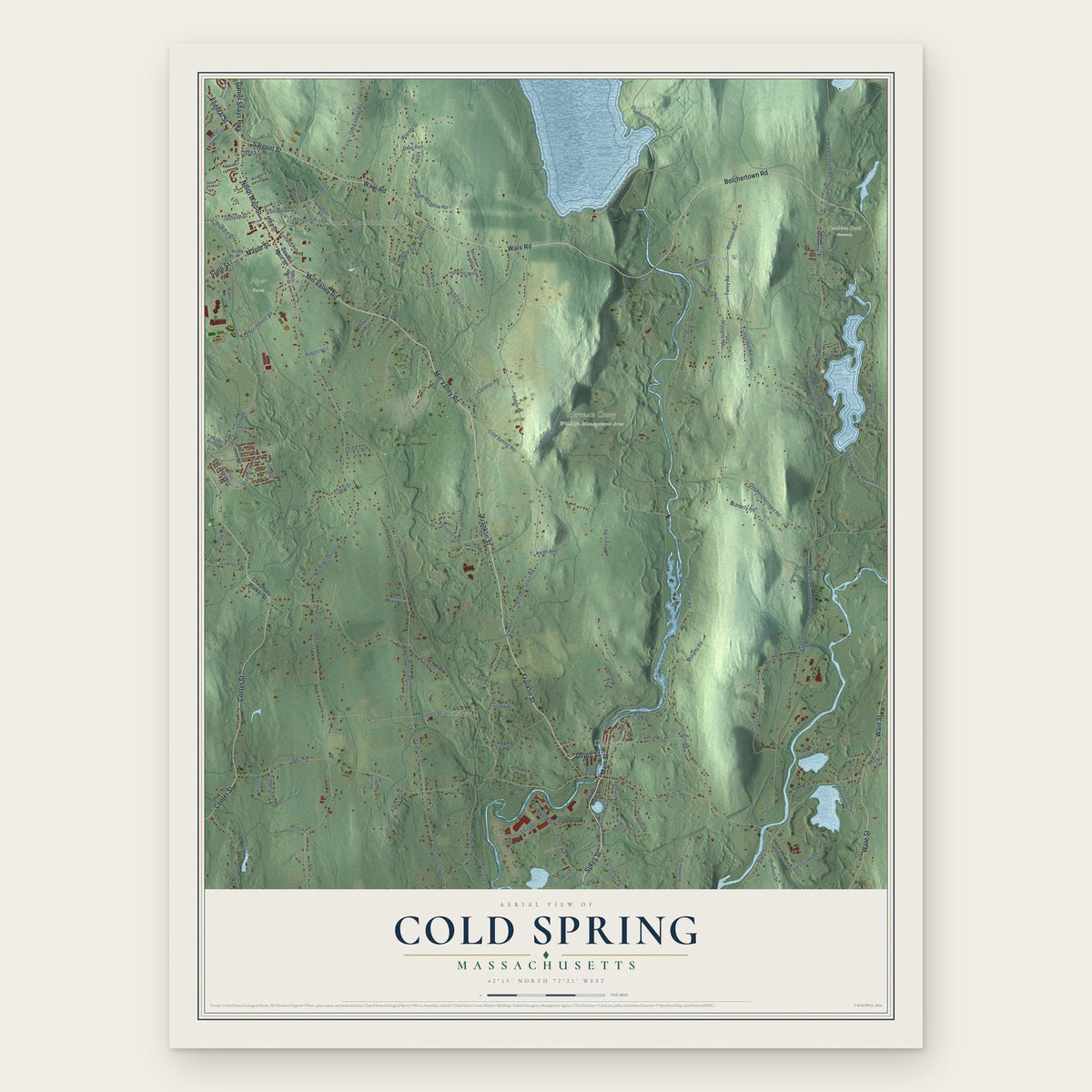
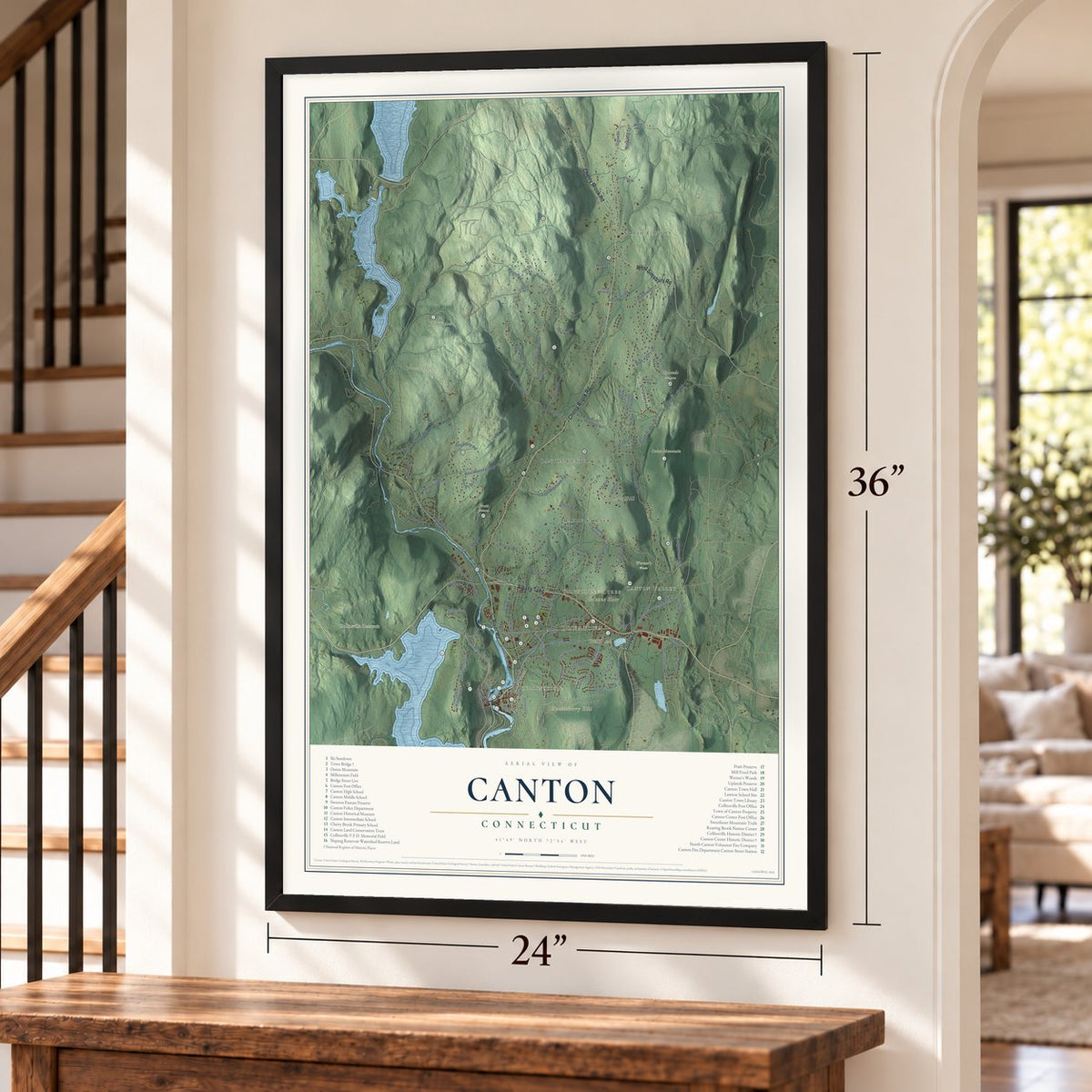
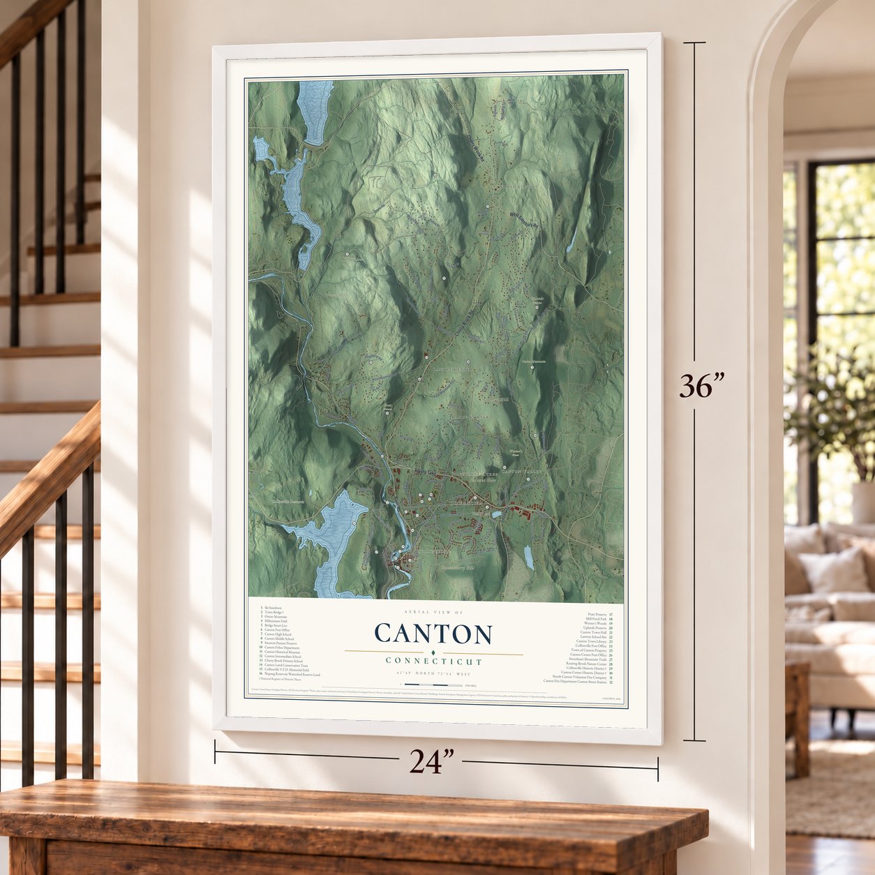
Explore Canton, Connecticut from a whole new perspective. Created using aerial imagery and detailed geographic data, this map captures Canton building by building, with labeled streets, familiar landmarks, and shaded topographical relief that highlights the natural contours of the landscape.
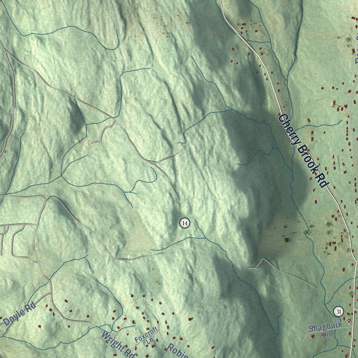
Combining modern data with the timeless character of a vintage atlas, this map is just as interesting up close as it is beautiful on the wall. Whether you grew up in Canton, spent memorable years there, or call it home today, this unique map is a great way to celebrate a place that means something to you. Zoom in on the preview to look for your street, and then order a print to put your memories on the wall.

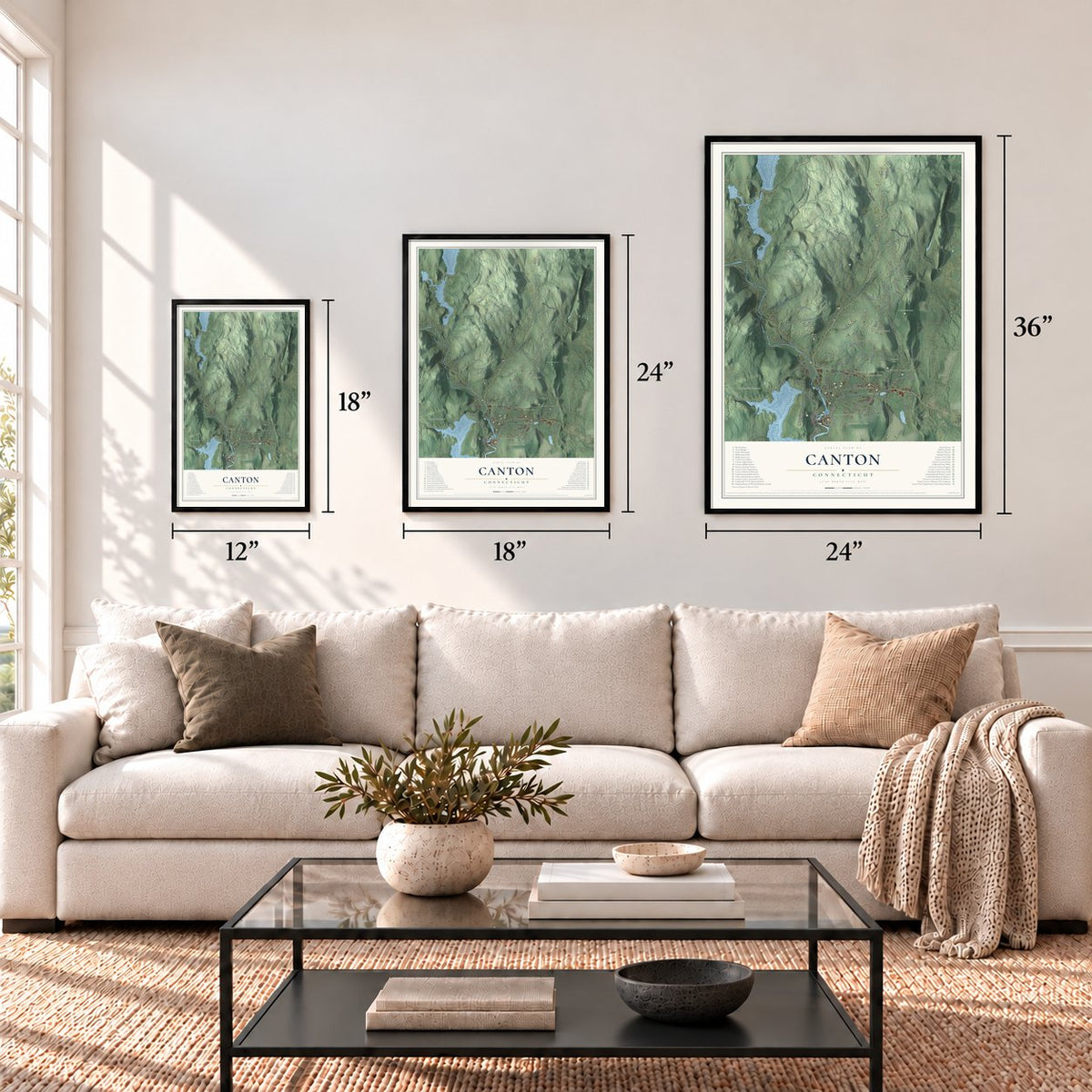
Three ways to hang it
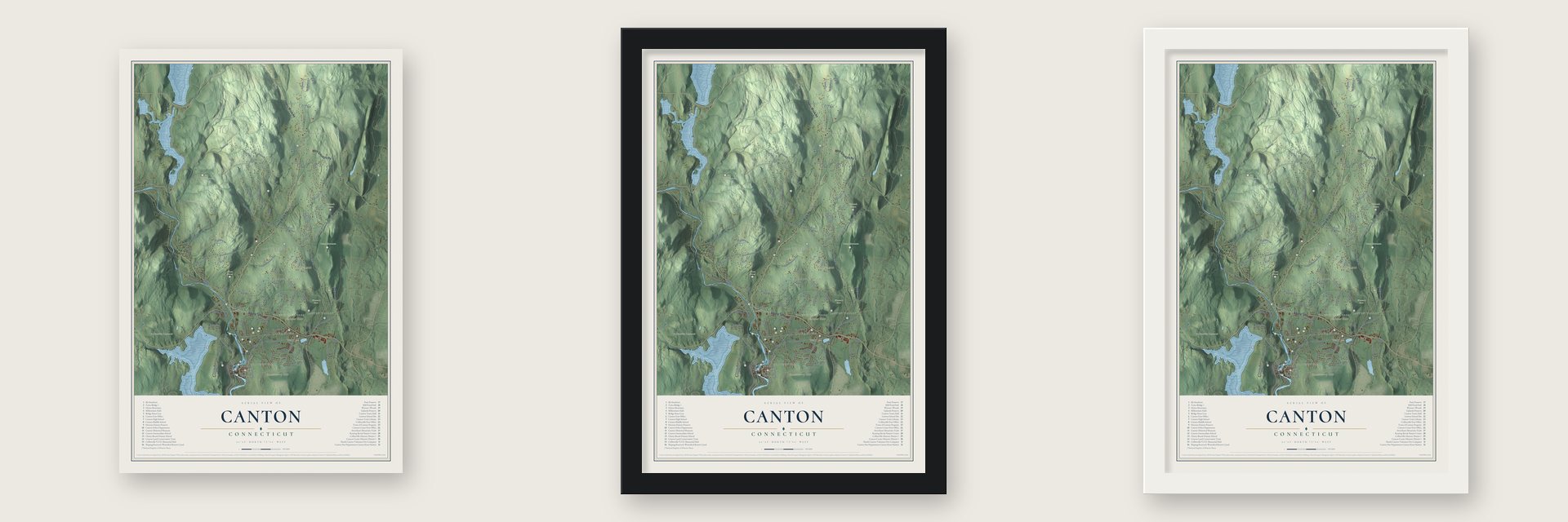
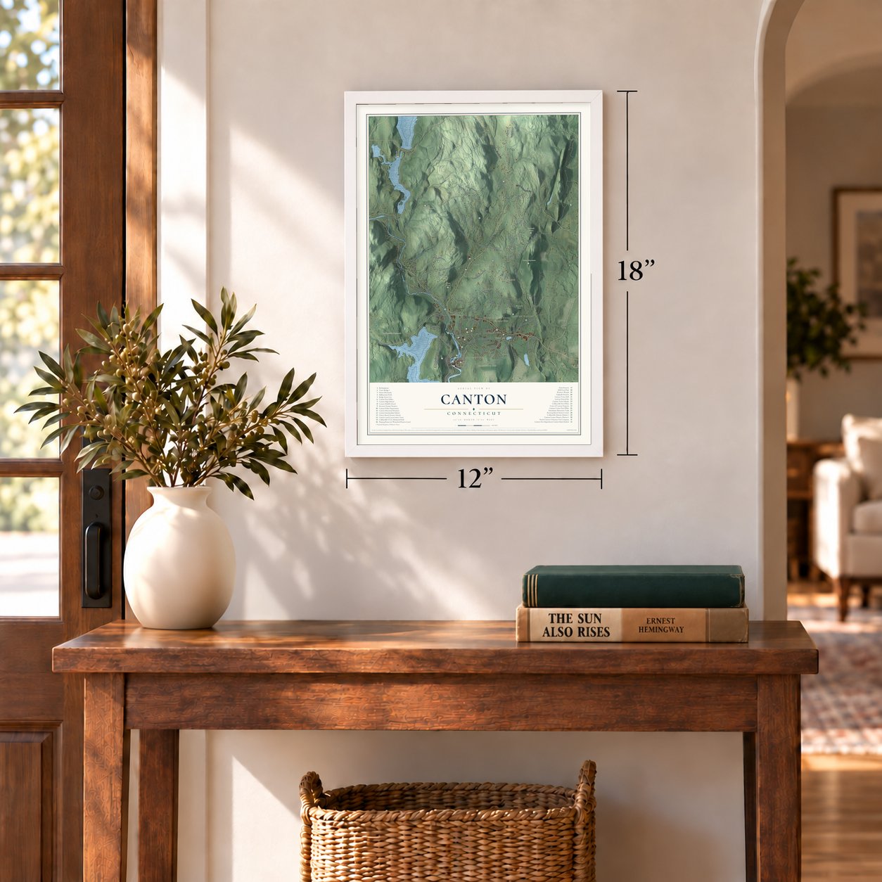
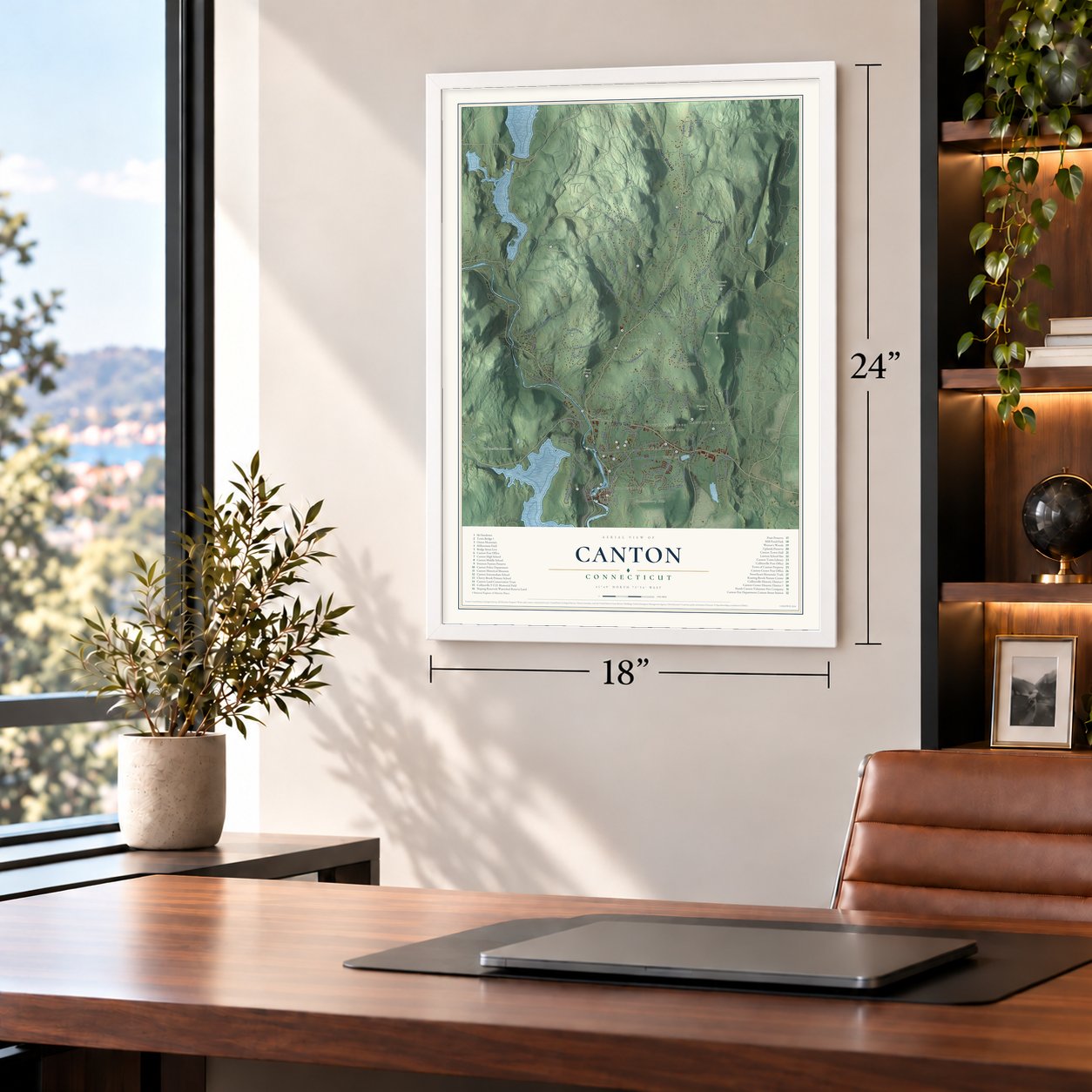
Unframed archival matte, a black wood frame or a white wood frame.
Up close
Geography Worth Displaying
This map was created using accurate cartographic data and authoritative geographic sources, including the U.S. Geological Survey (USGS) and FEMA. The map brings together terrain, waterways, roads, and building detail. The majority of the streets are labeled, houses are accurately depicted, and the topography is derived from government sources. Combining local data with carefully composed color and shading leads to this beautifully detailed Canton artwork for your wall.
Rather than simply showing street outlines, we’ve included as many of the street names as we could reasonably fit on the map while keeping their names legible. Zoom in on the high resolution preview to see exactly what’s on the map. We truly set out to create a statement piece for anyone who loves Canton. So whether it’s for you, or a gift for someone you love, we hope this map of Canton brings back fond memories.
Explore the full map of Canton, Connecticut and read about the local places it shows.
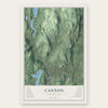
Find your street
Names on the Canton map
Every name below is printed on this map. Look for your street, your school, the park where you played, or the pond down the road.
Places and landmarks18
- Downtown
- Collinsville
- North Canton
- Canton Valley
- Silvermine Acres
- Breezy Hill
- East Hill
- Huckleberry Hill
- Mount Horr
- Bond Pond
- Collinsville Reservoir
- Onion Mountain
Show all 18 places
- Pratt Preserve
- Ski Sundown
- Uplands Preserve
- Werner's Woods
- Canton Center
- Bahre Corner
Streets and roads110
- Albany Turnpike
- Cherry Brook Road
- River Road
- West Simsbury Road
- Lovely Street
- Torrington Avenue
- Maple Avenue
- East Hill Road
- Breezy Hill Road
- Barbourtown Road
- Wright Road
- Gracey Road
- Case Street
- Indian Hill Road
- Morgan Road
- High Valley Drive
- Bunker Hill Road
- West Mountain Road
- West Road
- Powder Mill Road
- East Mountain Road
- Andrew Drive
- Dyer Avenue
- Country Lane
- Lawton Road
- Washburn Road
- Atwater Road
- Old Railroad Road
- Sextons Hollow Road
- Woodchuck Hill Road
Show all 110 streets
- Garrett
- Hanson Road
- Spaulding Road
- Bart Drive
- Doyle Road
- Secret Lake Road
- Freedom Drive
- Village Lane
- Sunrise Drive
- Robin Drive
- Queens Peak
- Forest Lane
- Dartmouth Drive
- Woodland Drive
- Ramp Road
- Wind Mill Lane
- Olson Road
- Mohawk Drive
- Ledgewood Road
- Shallot Meadow
- Hilltop Drive
- Old Mill Drive
- Dunne Avenue
- Scoville Road
- Meadow Road
- Colony Road
- High Hill Road
- Allen Place
- Bahre Corner Road
- North Mountain Road
- Dowd Avenue
- Trailsend Drive
- Pond View Drive
- Old Canton Road
- Commerce Drive
- Sterling Drive
- High Street
- Sweetheart Mountain Road
- Shingle Mill Drive
- Deer Run Road
- Canton Spring Road
- Orchard Hill Road
- Ridge Road
- Shagbark Lane
- Cemetery Road
- Collins Road
- Wilders Pass
- Birch Knoll Road
- Old Albany Turnpike
- Old River Road
- Crown Point
- Christmas Tree Hill
- Swimming Pool Road
- Noja Trail
- Michael Drive
- Ann Lane
- Frey Road
- Simonds Avenue
- Pine Acres Drive
- Hoffman Road
- Tanglewood Drive
- Thayer Avenue
- Brookridge Drive
- Depot Street
- Foxcroft Lane
- Bond Terrace
- Triangle Road
- New Road
- Bristol Drive
- Town Bridge Road
- Pond Road
- Timber Lane
- Dyer Cemetery Road
- Center Street
- Westwood Drive
- Rustle Meadow Lane
- Freeland Farms Road
- Bel Aire Lane
- Uplands Drive
- Mills Lane
Names are listed as they appear on the printed map. Zoom into the product photos to find them.
About Canton, Connecticut
Canton is a town of 10,124 people in Hartford County, on the Farmington River. Richard Case moved out from the old Simsbury parish in 1737, and he's remembered as West Simsbury's first settler; West Simsbury became a parish of its own in 1750. In 1806 it broke away from Simsbury as the town of Canton. Ephraim Mills, who helped organize the new town, chose the name, and William Edgar Simonds later wrote that Mills had the Swiss cantons in mind, because the word means to divide or set apart.
Until 1826, axes left the blacksmith dull, and a farmer had to spend half a day grinding an edge. That year David C. Collins, a Hartford store clerk, joined his brother Samuel W. Collins and a cousin to buy the Humphrey grist mill site on the river, where they made axes sold sharp and polished. Their first factory finished eight axes a day. The village of Collinsville grew up around the works, and by 1836 it was turning out 700 to 800 axes daily. By 1886 the company made more than three thousand tools each day, and it kept going until it closed in 1966.
“These houses are painted white, and when contrasted with the deep green foliage in the immediate vicinity, present a novel and beautiful appearance.”
- Forges, stills and powder millsCanton's first iron forge started up in 1774, and a second followed in 1792, but the flood of 1801 swept both away. Distilling took hold too, and no fewer than forty distilleries were running by 1825. Jared Mills and Edmund Fowler put up the town's first powder mills on the Nepaug, close to the spot where that stream joins the Farmington, and over sixty years their explosions killed at least thirty people. The town stopped making gunpowder about 1865.
- Die casting at the axe worksIn 1829 the Collins works switched to Lehigh coal for fuel, reportedly the first edge tool maker anywhere to do so. Elisha Root became superintendent of the enlarged factory in 1832, and there he invented die casting, an important industrial method. In 1867 the company began building a dam of granite, 300 feet in length and 18 feet tall. Collins tools went to the California Gold Rush, onto the Trans-Siberian Railway and with Admiral Peary to the North Pole.
- From plow shop to museumThe Collins Company built a three story frame shop in 1865 for painting, crating and storing steel plowshares. When tractors ended the plow trade, the company made it a recreation hall in 1924, with six duckpin lanes and a 75 foot rifle range downstairs. Patternmaker Fred Widen gave it 3,500 company items, and it opened as a museum in 1940. The Canton Historical Society reopened it as the Canton Historical Museum in 1970 and has owned it since 2005.
- The Town Bridge of 1895The Farmington runs fast and floods often, so the town set out to improve every place its roads crossed the river. As part of that work, the Berlin Iron Bridge Company built the Town Bridge in 1895, about 172 feet long with iron cresting over each entrance. Connecticut has just two pin connected Parker truss bridges left, and this is one of them. It joined the National Register in 1999.
- Named for Old CherryBefore anyone lived here all year, Simsbury families made trips out to raise corn on the Hopyard, a stretch of river bottom where Cherry Brook meets the Farmington, while their boys stood guard with guns. The brook is named for a chief called Waquaheag, whom Simsbury people knew as Old Cherry.
Keep exploring Connecticut
Canton is one of 382 Connecticut towns we've mapped. Every dot on the map is a print of its own.
The search covers every state, Connecticut first.
Near Canton
Order 2 or more town maps and save 10%. Shown in the size and finish you picked above, so they hang as a set.
- Canton Valley 12" x 18" / Archival Matte Print $39.99
- Collinsville 12" x 18" / Archival Matte Print $39.99
- Tootin' Hills 12" x 18" / Archival Matte Print $39.99
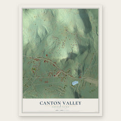
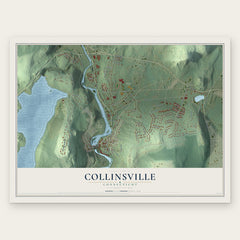
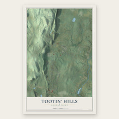
More maps nearby: New Hartford Center, West Simsbury, Weatogue, Simsbury and New Hartford.
The art of mapping a place
How This Map Was Made
Real places. Remarkable detail. Discover the layers that turn geographic data into a map of home.

The view from above
Aerial imagery reveals the character of the land: woodland, open fields, and the patterns of a place.

The shape of the land
Elevation data brings hills, valleys, and subtle changes in the landscape into view.

The details of home
Roads, waterways, and building footprints come together to make the map feel unmistakably local.

Geography becomes art
Considered color, shading, and typography bring the layers together in a map made for your wall.


Process illustrated with Mendon, Massachusetts. Aerial imagery: USDA NAIP. Terrain: USGS 3D Elevation Program. Map details and finished artwork: KNOWOL.
The Details
About This Print
Choose an archival matte print, or a black or white Ayous wood frame. The archival matte print is unframed.
Select your size and finish above to see the matching product image and price.
Materials & Craftsmanship
A contemporary map with the character of a classic atlas, printed on archival matte paper. Optional frames are made from Ayous wood.
Your printed map does not include the watermark shown in the full-map preview.
Shipping & Delivery
Free shipping within the United States. Every print is made to order in the USA.
Buying a gift? Add a note in your cart and we'll include it. We never put prices in the package.
Prints ship within 2 to 3 business days. Allow 7 to 10 days total from ordering for delivery. Timing may vary during holidays or periods of high order volume.
Read our shipping policy.
Returns and damaged prints
Each print is made to order. Change-of-mind refunds are not available after production.
If your print arrives damaged, misprinted or incorrect, contact support@knowol.com within 30 days of receiving it. Include your order number, photos and a description of the issue.
Read our full refund and replacement policy. For questions about your order, email support@knowol.com.