
Search for another town
Free U.S. delivery 7 to 10 days after you order
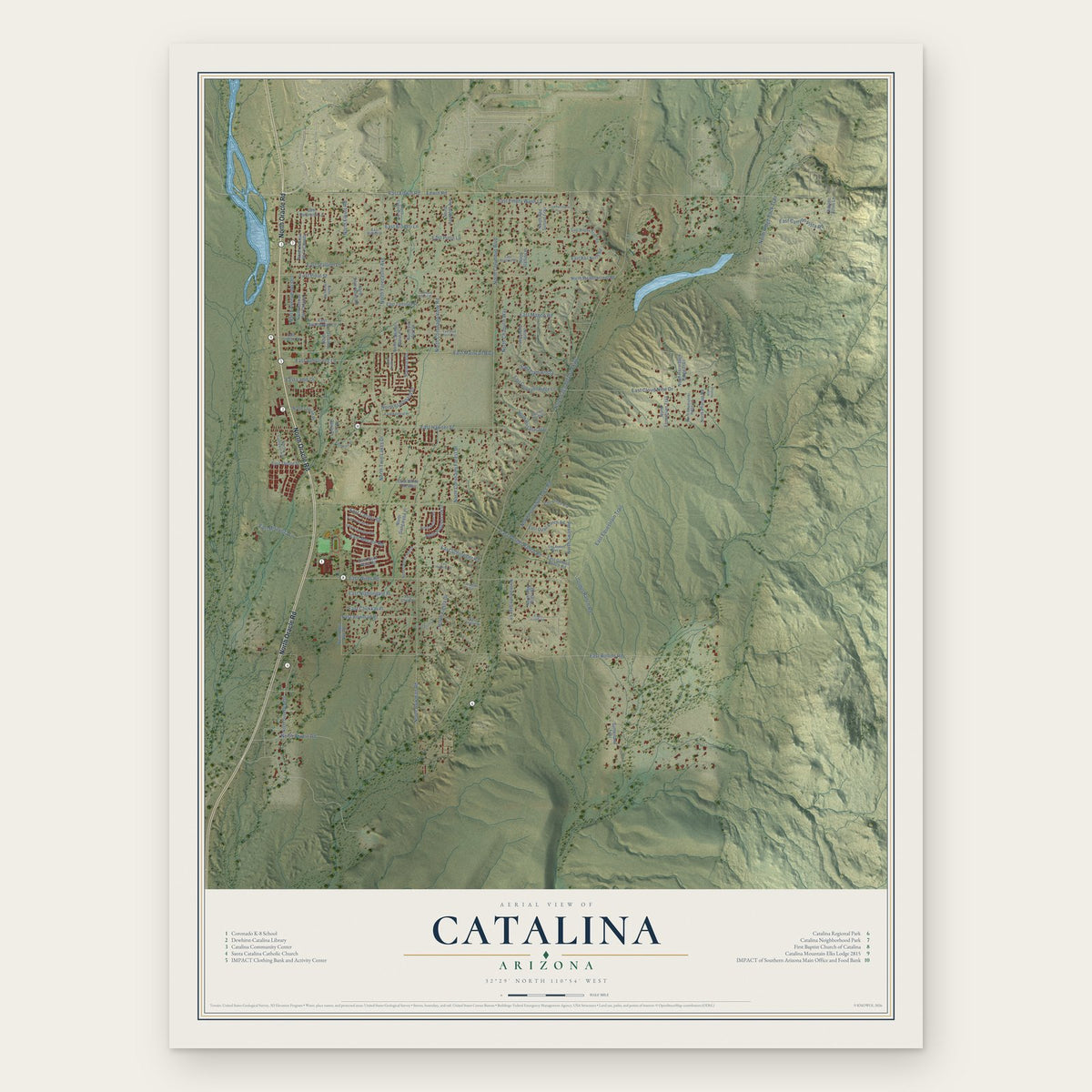
Catalina, Arizona Map Art
Building by building, with labeled streets and shaded relief.
12" x 18" Archival Matte Print
A Map of Home. A Work of Art.
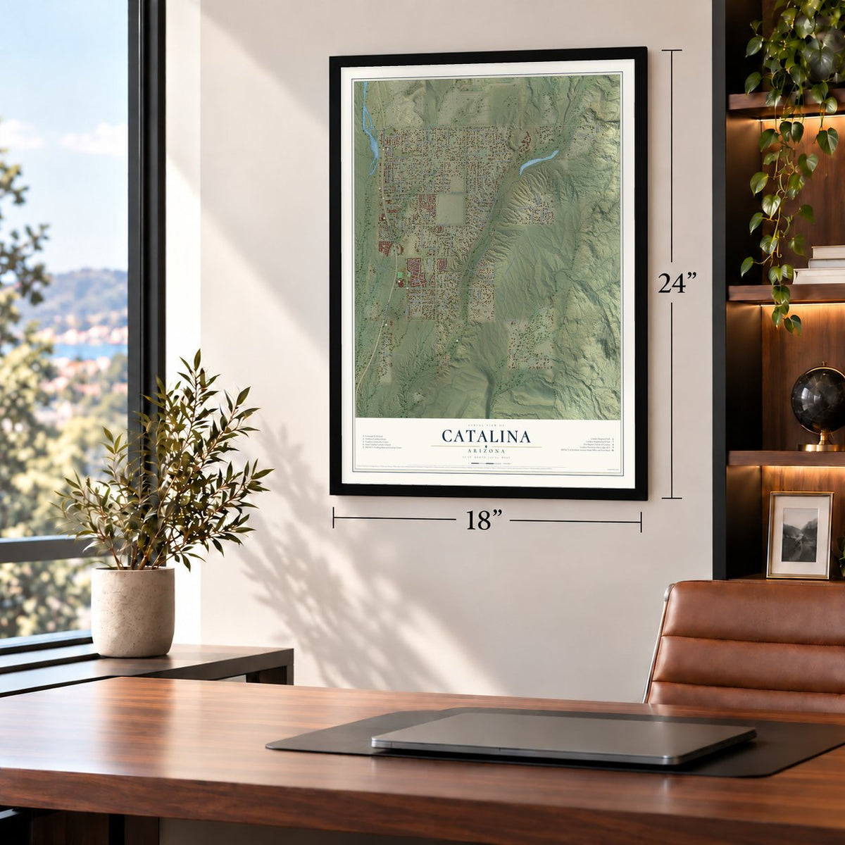
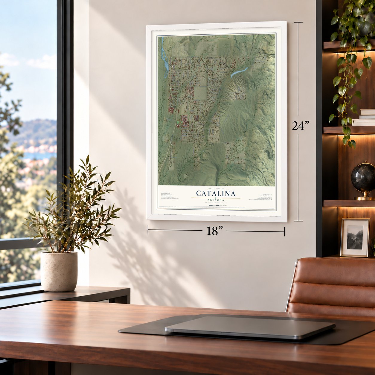
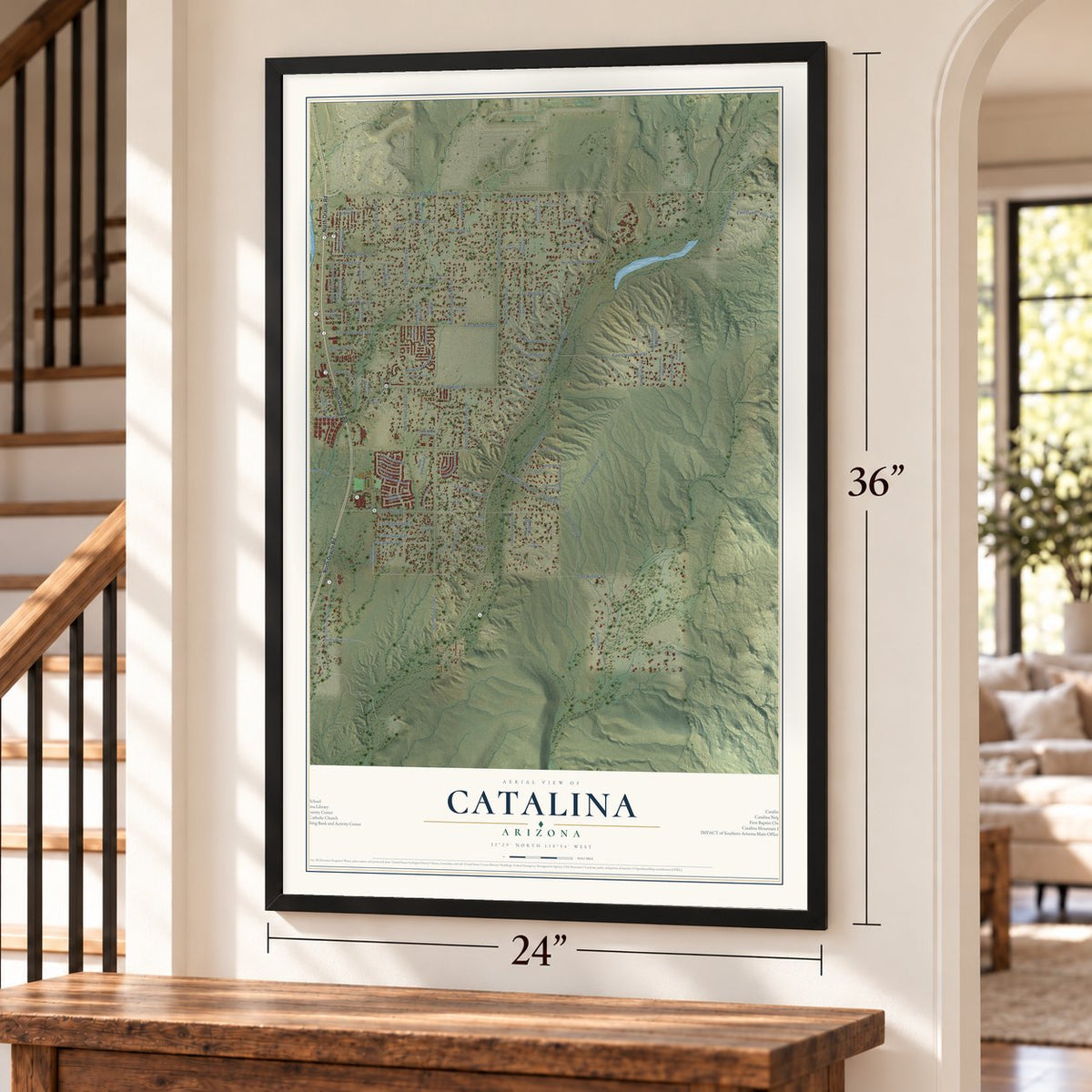
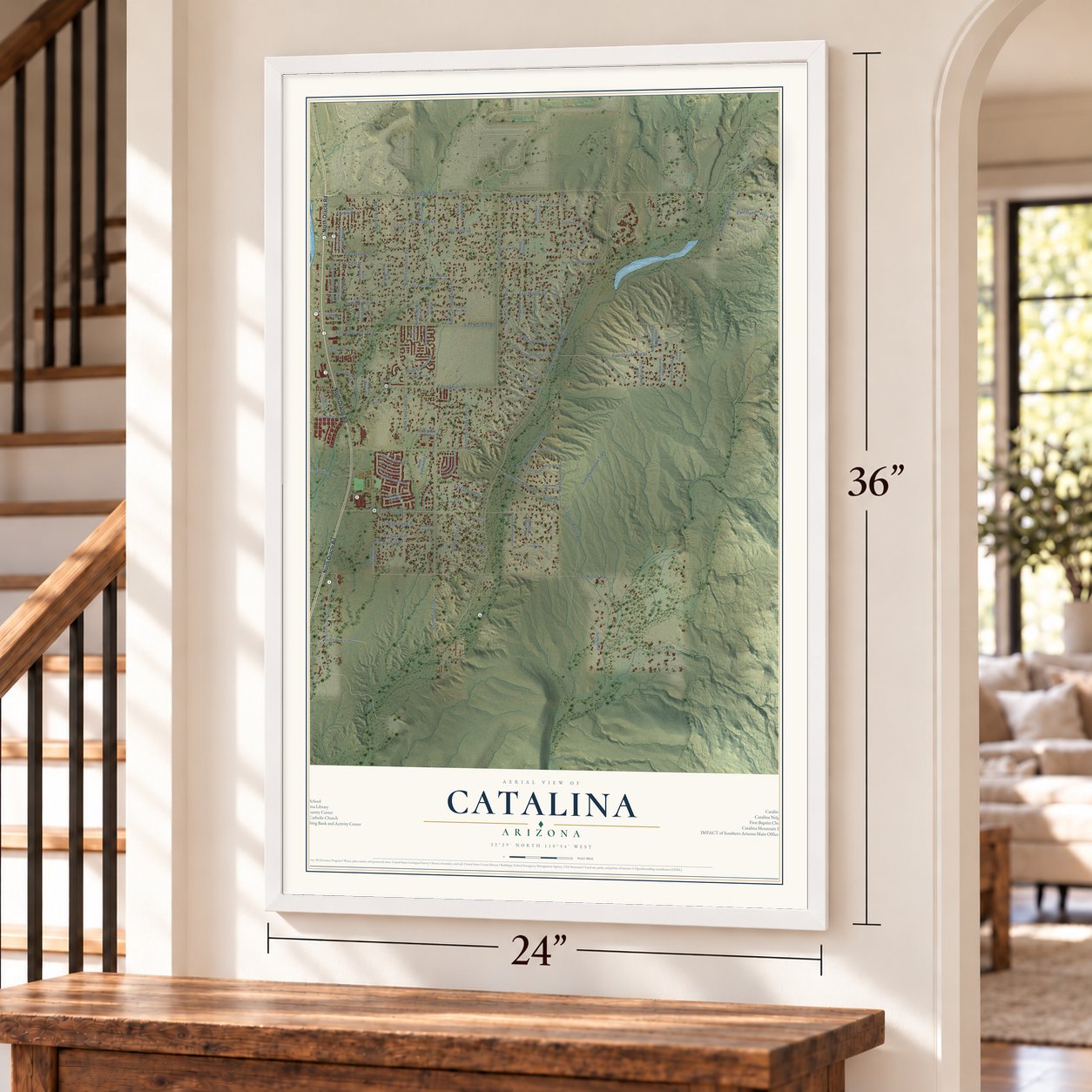
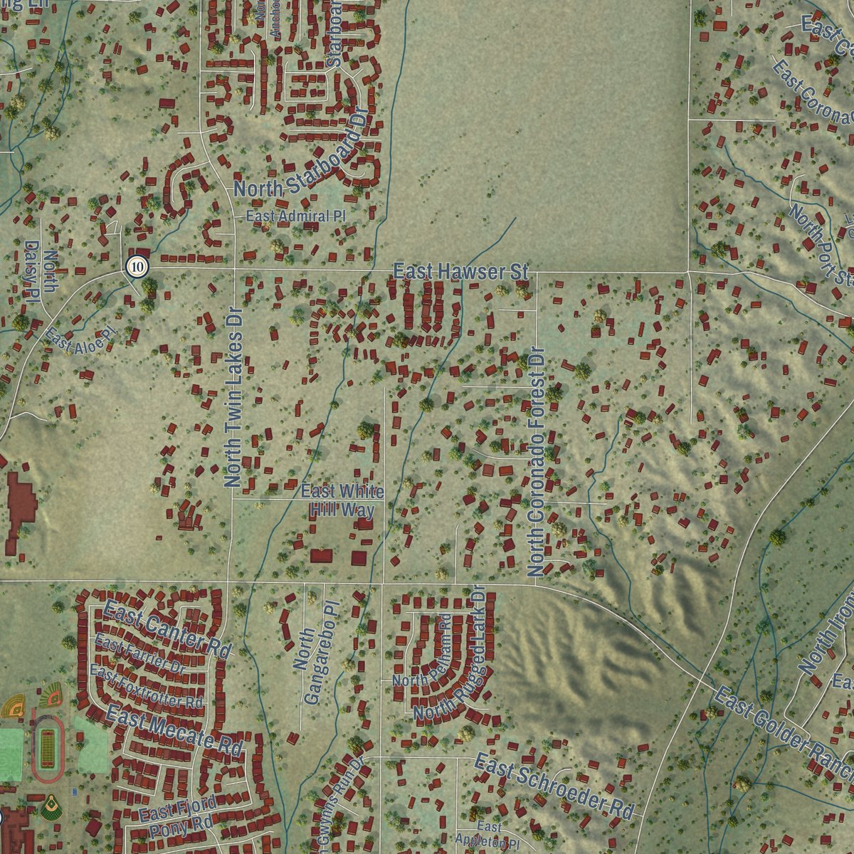
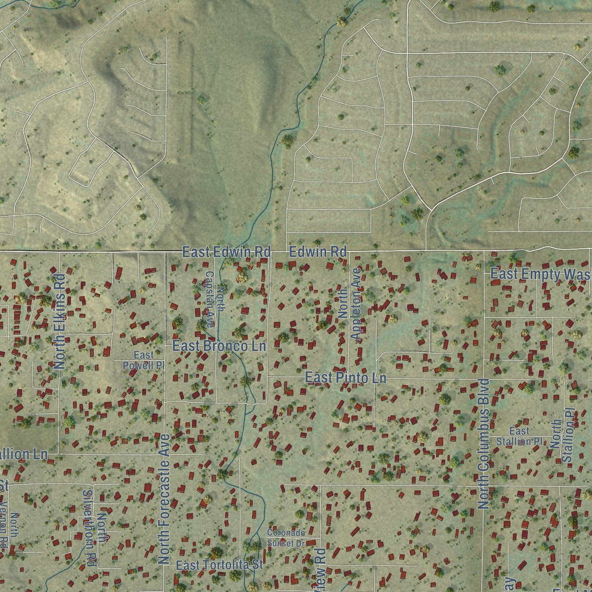
Explore Catalina, Arizona from a whole new perspective. Created using aerial imagery and detailed geographic data, this map captures Catalina building by building, with labeled streets, familiar landmarks, and shaded topographical relief that highlights the natural contours of the landscape.
Combining modern data with the timeless character of a vintage atlas, this map is just as interesting up close as it is beautiful on the wall. Whether you grew up in Catalina, spent memorable years there, or call it home today, this unique map is a great way to celebrate a place that means something to you. Zoom in on the preview to look for your street, and then order a print to put your memories on the wall.

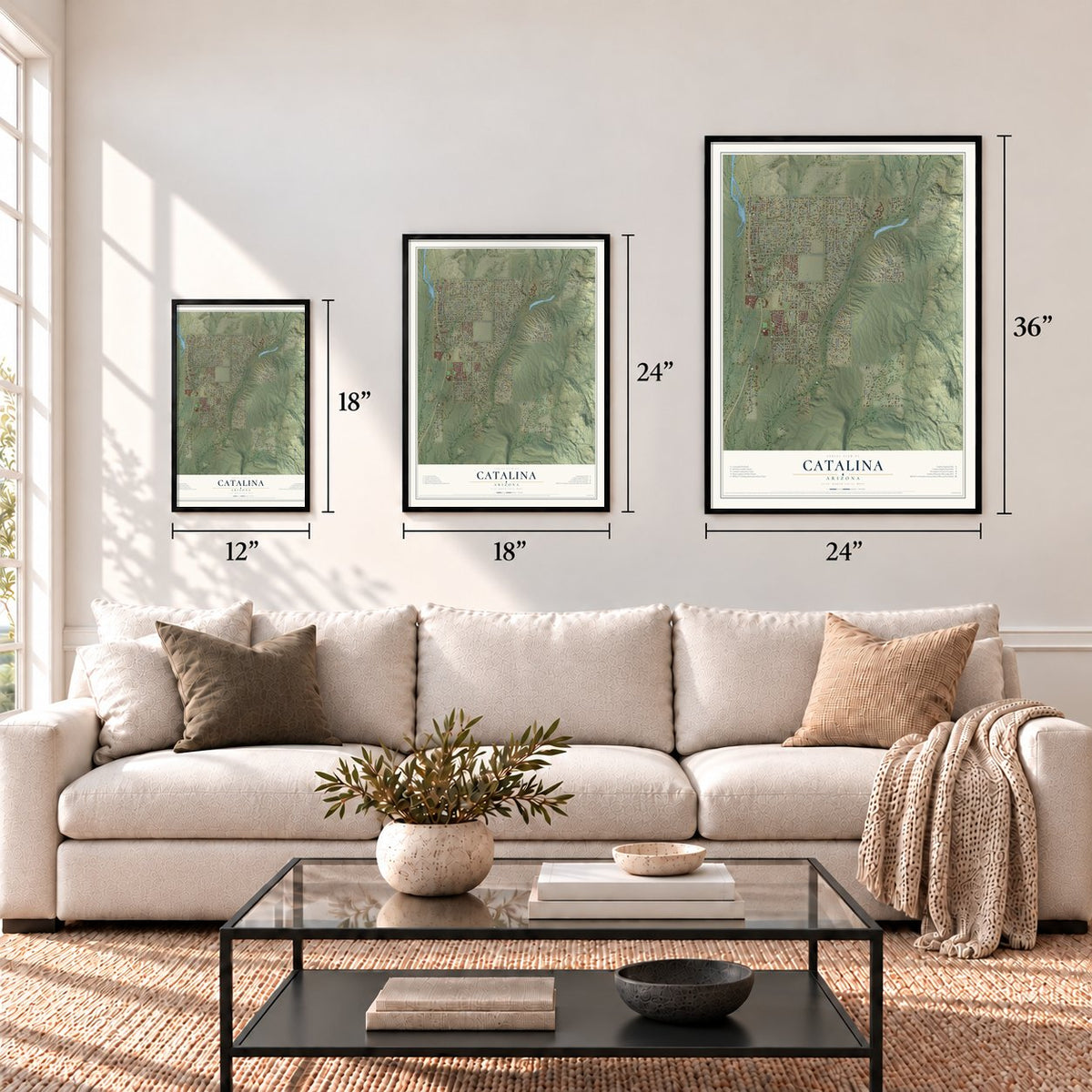
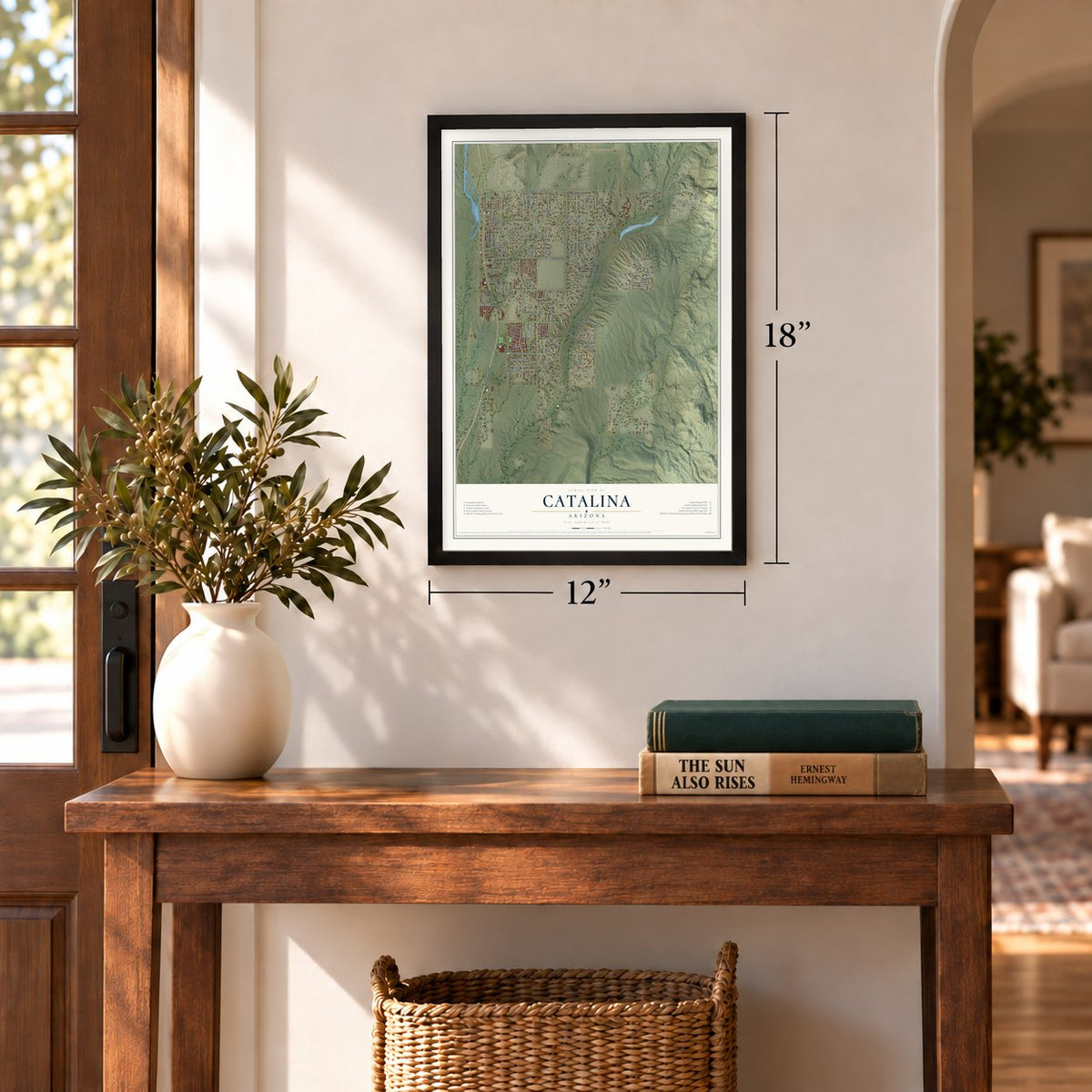
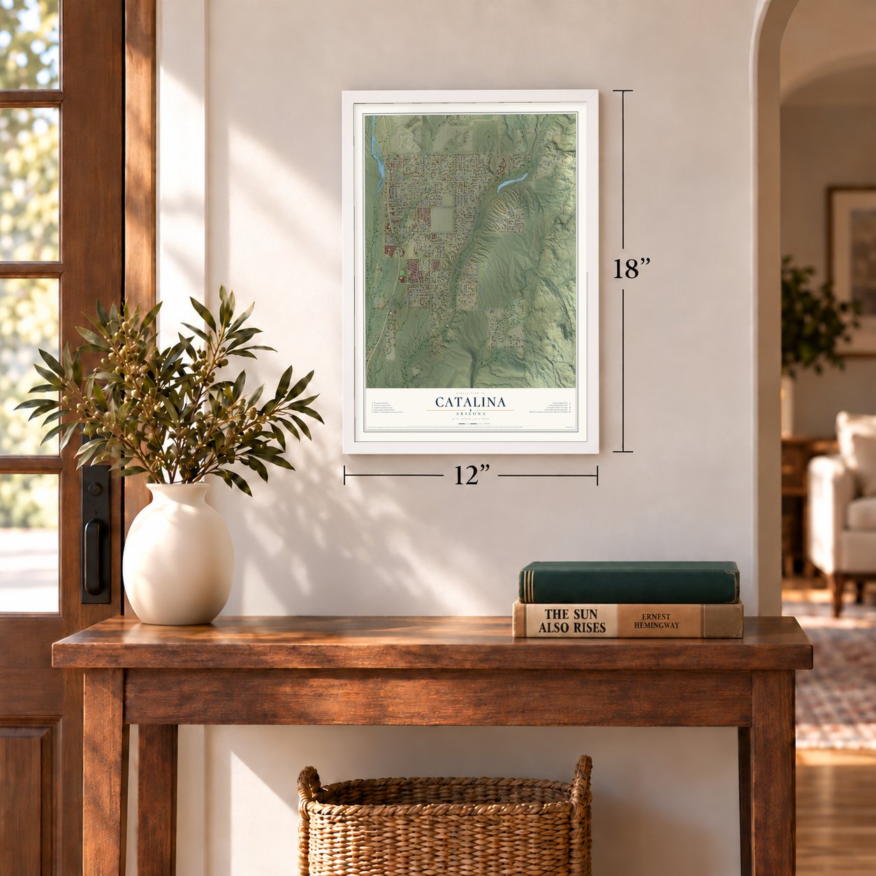
Three ways to hang it
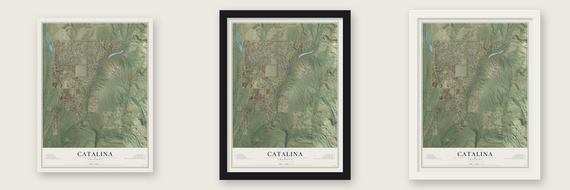
Unframed archival matte, a black wood frame or a white wood frame.
Up close
Geography Worth Displaying
This map was created using accurate cartographic data and authoritative geographic sources, including the U.S. Geological Survey (USGS) and FEMA. The map brings together terrain, waterways, roads, and building detail. The majority of the streets are labeled, houses are accurately depicted, and the topography is derived from government sources. Combining local data with carefully composed color and shading leads to this beautifully detailed Catalina artwork for your wall.
Rather than simply showing street outlines, we’ve included as many of the street names as we could reasonably fit on the map while keeping their names legible. Zoom in on the high resolution preview to see exactly what’s on the map. We truly set out to create a statement piece for anyone who loves Catalina. So whether it’s for you, or a gift for someone you love, we hope this map of Catalina brings back fond memories.
Explore the full map of Catalina, Arizona and read about the local places it shows.
Find your street
Names on the Catalina map
Every name below is printed on this map. Look for your street, your school, the park where you played, or the pond down the road.
Streets and roads107
- North Oracle Road
- Edwin Road
- North Twin Lakes Drive
- East Equestrain Trail
- East Bowman Place
- East Mecate Road
- North Avenue del Oro
- North Starboard Drive
- East Edwin Road
- North Swan Road
- East Mainsail Boulevard
- East Bronco Lane
- North Lago del Oro Parkway
- East Rollins Road
- North Bowman Road
- East Wilds Road
- East Golder Ranch Road
- Golder Ranch Road
- East Hawser Street
- North Columbus Boulevard
- East Pinal Street
- East Pinto Lane
- North Forecastle Avenue
- North Coronado Forest Drive
- East Cloud Nine Drive
- East Stallion Lane
- North Elkins Road
- North Ridge Rock Trail
- East Armstrong Lane
- East Cam Arista
Show all 107 streets
- North Ironwood Tree Road
- North Coronado View Road
- East Magoo Road
- East Canyon Vista Road
- North Chapulin Way
- East Miravista Lane
- East Schroeder Road
- North Fiesta Drive
- East Lamb Drive
- East Empty Wash Lane
- East Nightingale Place
- East Chukkar Place
- East Canter Road
- North Silverthorn Road
- East Fjord Pony Road
- East Palomino Lane
- North Hoot Owl Road
- North Meadowcrest Road
- East Rail North Road
- East Tortolita Street
- North Equestrian Trail
- North Appleton Avenue
- East Coronado Ridge Lane
- North Avenue del Canada
- East Swallowtail Lane
- East White Hill Way
- North Avenue de la Canada
- North Sotol Avenue
- North Port Star Trail
- East Thistle Street
- North Desert Sage Lane
- East Quail Ranch Road
- North Dust Devil Drive
- North Rugged Lark Drive
- East Golden Ranch Road
- North Vernon Drive
- North Lupine Place
- Starboard Drive
- North Red Sunset Trail
- North Gangarebo Place
- North Razorback Ridge Trail
- North Cadillac Ranch Place
- North Pharlap Road
- North Via Alazan
- North High Rock Road
- North Stallion Place
- North Daisy Place
- Sutherland Trail
- Hillside Acres Lane
- North Capstan Avenue
- North Roadrunner Ridge Lane
- East Wagon Train Road
- East Trotter Place
- North Gwynns Run Drive
- East Bridge Way
- East Graham Street
- North Sunflower Avenue
- East Farrier Drive
- East Foxtrotter Road
- North Pelham Road
- East Stallion Place
- East Admiral Place
- East Powell Place
- North Vernon Road
- East Aloe Place
- East Chico Lane
- Arabian Circle
- East Redtail Hawk Lane
- East Trotter Road
- East Blue Moon Trail
- East Torchiana Pass
- Lago del Oro Parkway
- East Appleton Place
- East Storms Place
- Coronado Sunset Drive
- North Anchor Avenue
- North Hashani
Names are listed as they appear on the printed map. Zoom into the product photos to find them.
About Catalina, Arizona
Catalina is an unincorporated community of 7,551 people in Pima County. Much of the ground it stands on was once ranch land owned by Lloyd Golder III, who left Illinois for Tucson with his family in 1956. A year later he owned Rancho Vistoso, which then covered 4,800 acres.
Roberta Nicholas sold Golder the Rail N. Ranch, all 18,000 acres of it, in 1959. Its land reached south into what is now Catalina State Park and north onto part of the site of Biosphere 2. Golder later laid out the Twin Lakes and Rail N. Ranch subdivisions and gave names to many of their streets. He died in 2013, and his old spread, still legally the Rail N. Ranch, is worked today as an open-range ranch.
- The lake that never wasGolder spent 1961 through 1964 putting up the Golder Dam, roughly 4 miles north of the Pinal County line. It was meant to hold a lake for a planned community named Lago del Oro. A court fight dragged on for decades and ended with the dam ruled unsafe, so the lakeside homes were never built. The Saddlebrooke subdivision covers that ground today, and Lago Del Oro Parkway keeps the old name alive.
- Named by Father Kino in 1697The Tohono O'odham called the mountains above Catalina Babad Do'ag. The Italian Jesuit Eusebio Francisco Kino gave them their Spanish name in 1697, honoring his oldest sister's patron saint, Catherine of Alexandria. Mount Lemmon crowns the range at 9,157 feet.
- A park instead of housesIn the early 1970s a plan to build homes on the old Rancho Romero land drew strong public opposition. Governor Bruce Babbitt dedicated Catalina State Park there on May 25, 1983. Its 5,500 acres hold nearly 5,000 saguaros and the Romero Ruin, where a Mesoamerican ballcourt lies among pueblos built of adobe and rock.
- The canyon of goldThe Cañada del Oro starts on the north face of Mount Lemmon, where rain and snowmelt feed it, and runs toward Oracle before bending south to the Santa Cruz River. Gold seekers began working the canyon in the 17th century and kept at it into the 1930s, and American maps marked it as Gold Cañon Creek by 1880.
Keep exploring Arizona
Catalina is one of 528 Arizona towns we've mapped. Every dot on the map is a print of its own.
The search covers every state, Arizona first.
Near Catalina
Order 2 or more town maps and save 10%. Shown in the size and finish you picked above, so they hang as a set.
- Saddlebrooke 12" x 18" / Archival Matte Print $39.99
- Oro Valley 12" x 18" / Archival Matte Print $39.99
- Summerhaven 12" x 18" / Archival Matte Print $39.99
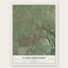
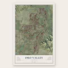

More maps nearby: Oracle, Tortolita, Casas Adobes, Catalina Foothills and Campo Bonito.
The art of mapping a place
How This Map Was Made
Real places. Remarkable detail. Discover the layers that turn geographic data into a map of home.

The view from above
Aerial imagery reveals the character of the land: woodland, open fields, and the patterns of a place.

The shape of the land
Elevation data brings hills, valleys, and subtle changes in the landscape into view.

The details of home
Roads, waterways, and building footprints come together to make the map feel unmistakably local.

Geography becomes art
Considered color, shading, and typography bring the layers together in a map made for your wall.


Process illustrated with Mendon, Massachusetts. Aerial imagery: USDA NAIP. Terrain: USGS 3D Elevation Program. Map details and finished artwork: KNOWOL.
The Details
About This Print
Choose an archival matte print, or a black or white Ayous wood frame. The archival matte print is unframed.
Select your size and finish above to see the matching product image and price.
Materials & Craftsmanship
A contemporary map with the character of a classic atlas, printed on archival matte paper. Optional frames are made from Ayous wood.
Your printed map does not include the watermark shown in the full-map preview.
Shipping & Delivery
Free shipping within the United States. Every print is made to order in the USA.
Buying a gift? Add a note in your cart and we'll include it. We never put prices in the package.
Prints ship within 2 to 3 business days. Allow 7 to 10 days total from ordering for delivery. Timing may vary during holidays or periods of high order volume.
Read our shipping policy.
Returns and damaged prints
Each print is made to order. Change-of-mind refunds are not available after production.
If your print arrives damaged, misprinted or incorrect, contact support@knowol.com within 30 days of receiving it. Include your order number, photos and a description of the issue.
Read our full refund and replacement policy. For questions about your order, email support@knowol.com.