
Search for another town



Free U.S. delivery 7 to 10 days after you order
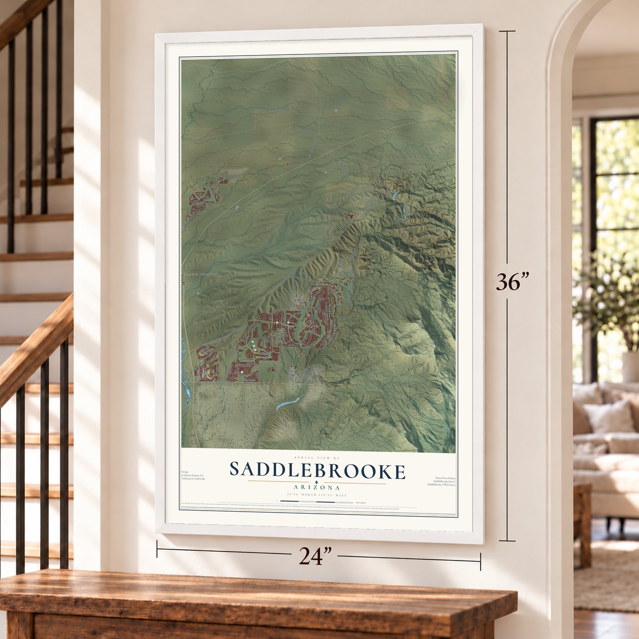
Saddlebrooke, Arizona Map Art
Building by building, with labeled streets and shaded relief.
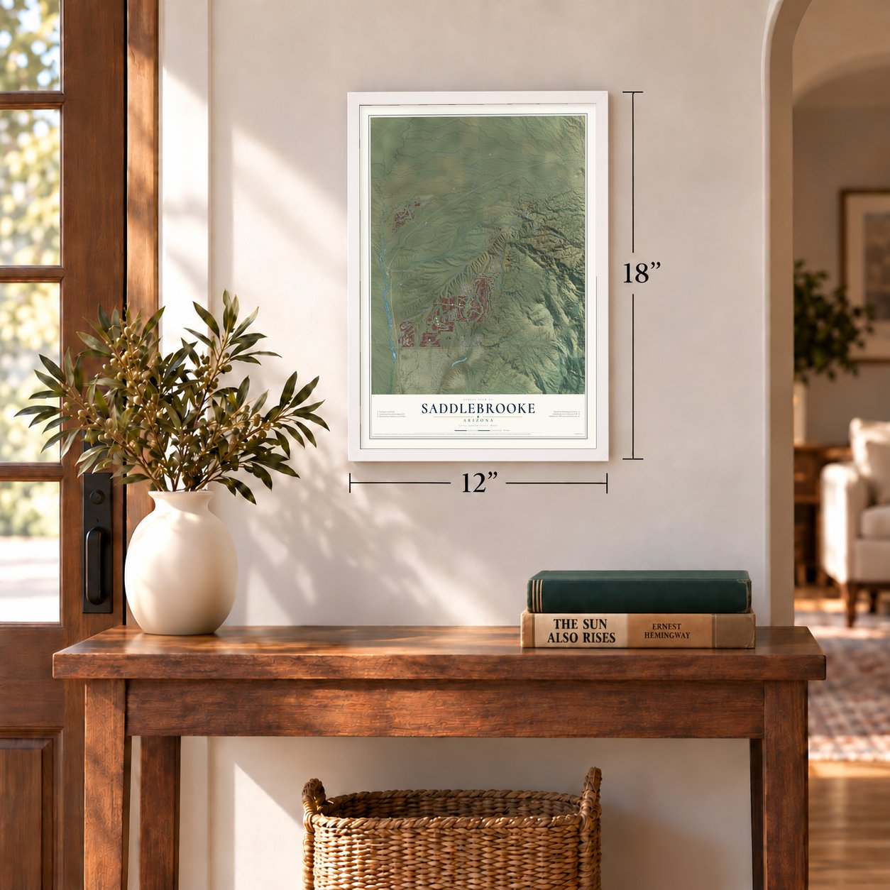
12" x 18" Archival Matte Print
A Map of Home. A Work of Art.
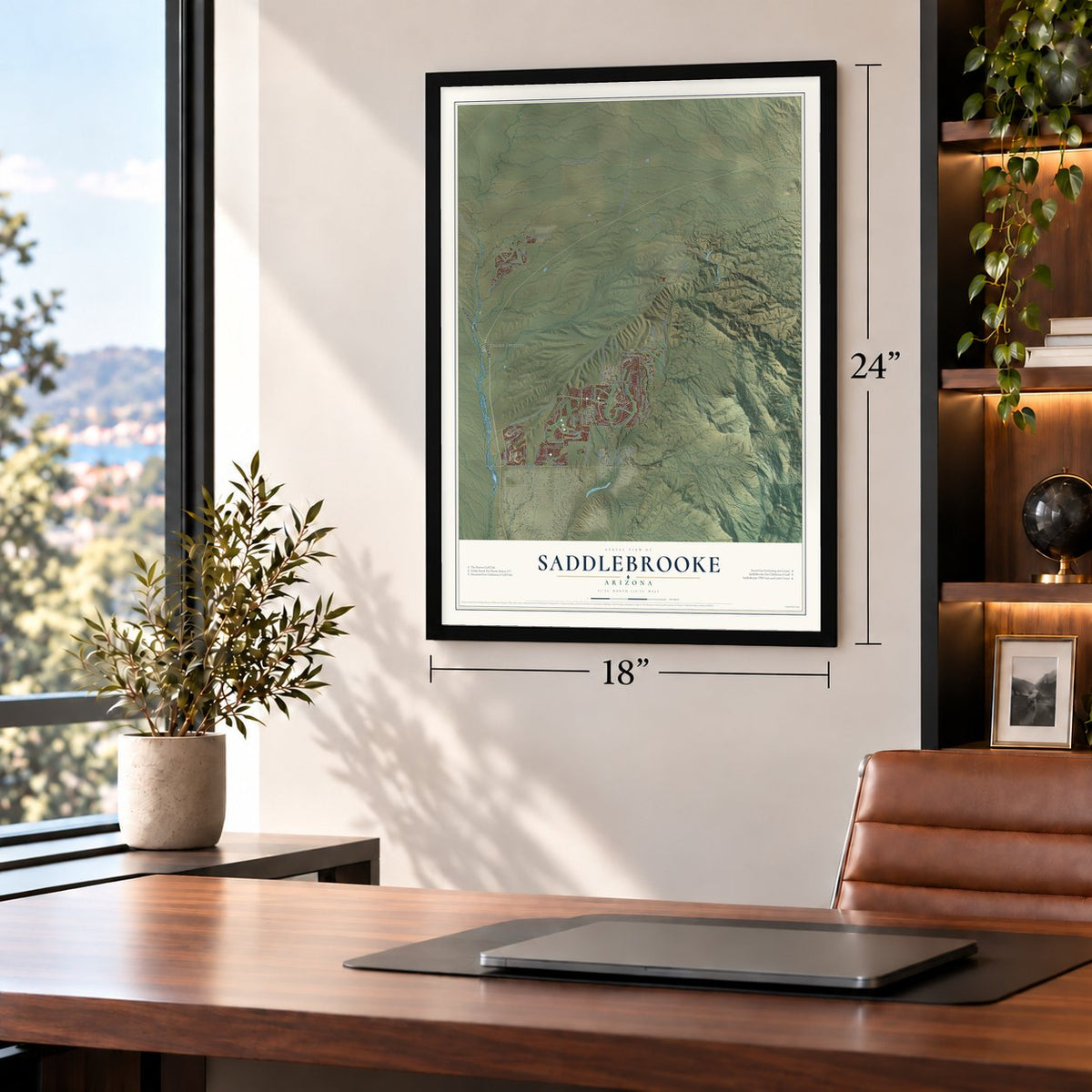
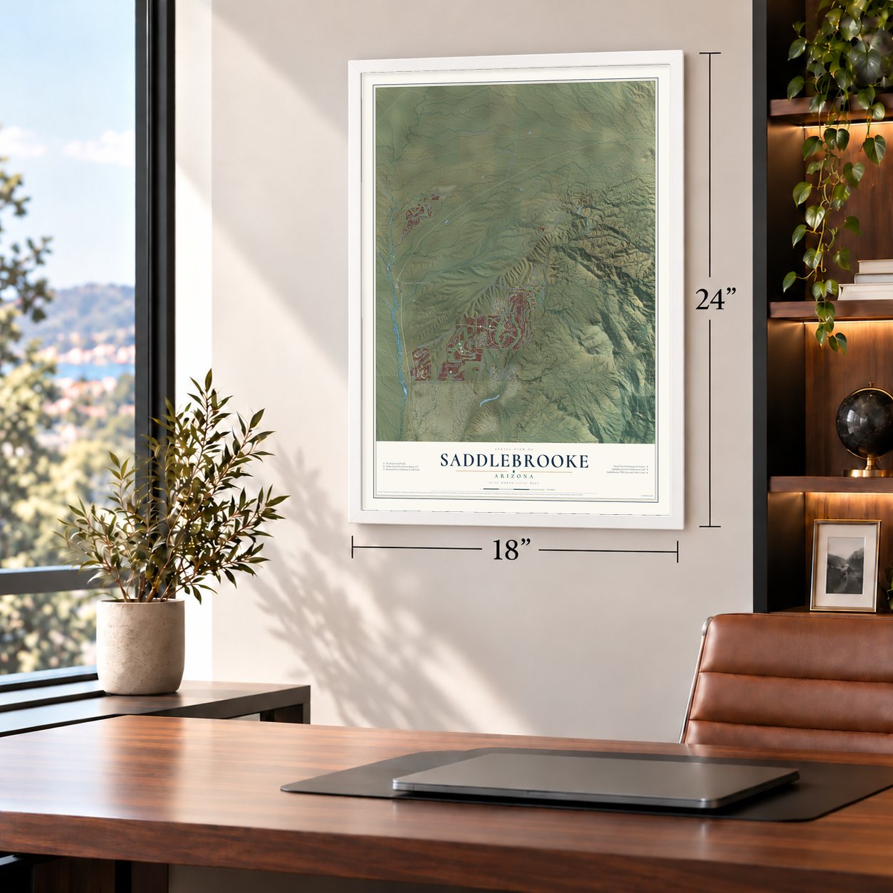
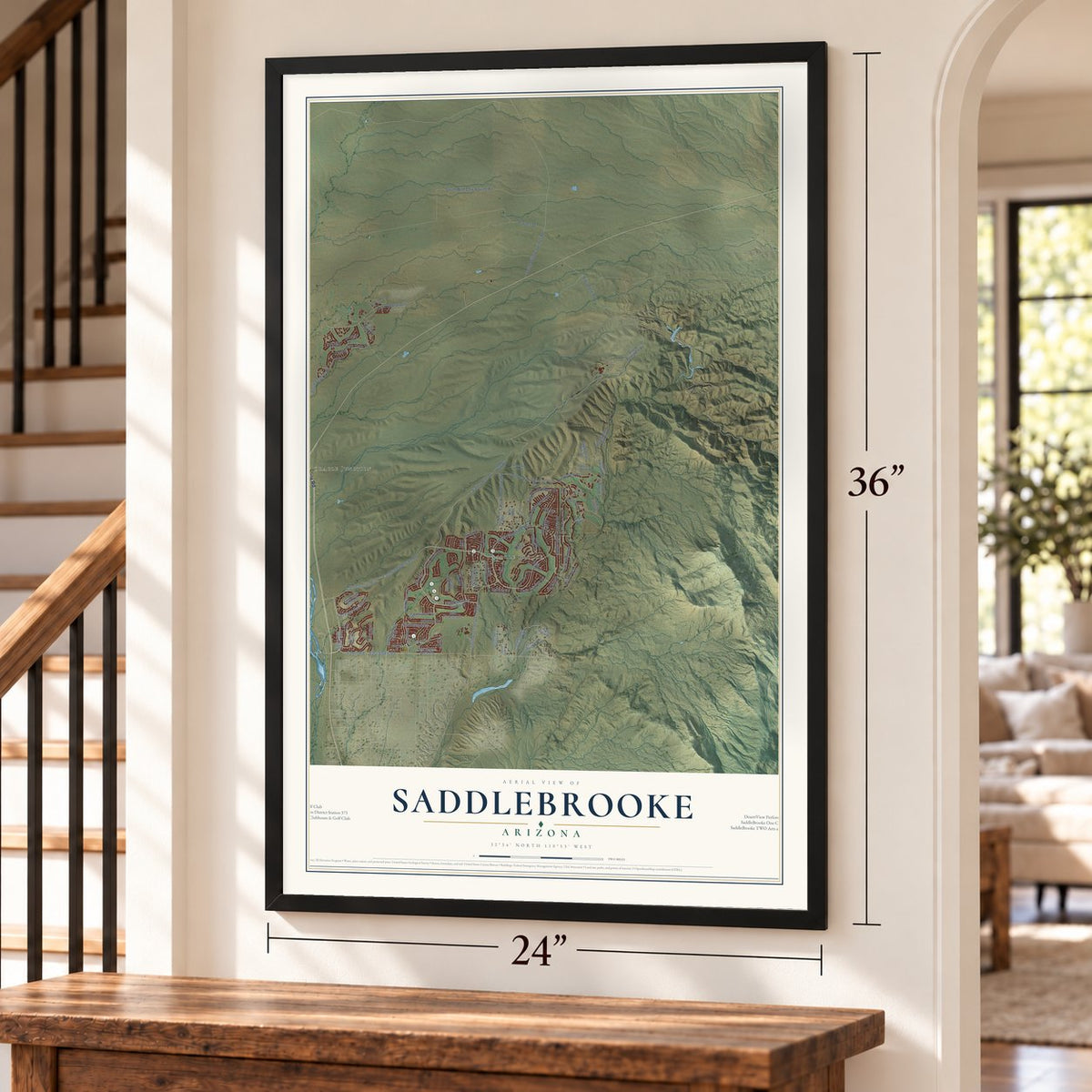
Explore Saddlebrooke, Arizona from a whole new perspective. Created using aerial imagery and detailed geographic data, this map captures Saddlebrooke building by building, with labeled streets, familiar landmarks, and shaded topographical relief that highlights the natural contours of the landscape.
Combining modern data with the timeless character of a vintage atlas, this map is just as interesting up close as it is beautiful on the wall. Whether you grew up in Saddlebrooke, spent memorable years there, or call it home today, this unique map is a great way to celebrate a place that means something to you. Zoom in on the preview to look for your street, and then order a print to put your memories on the wall.

Three ways to hang it
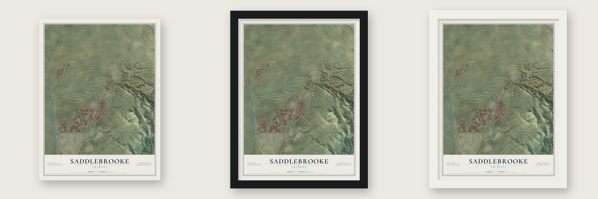
Unframed archival matte, a black wood frame or a white wood frame.
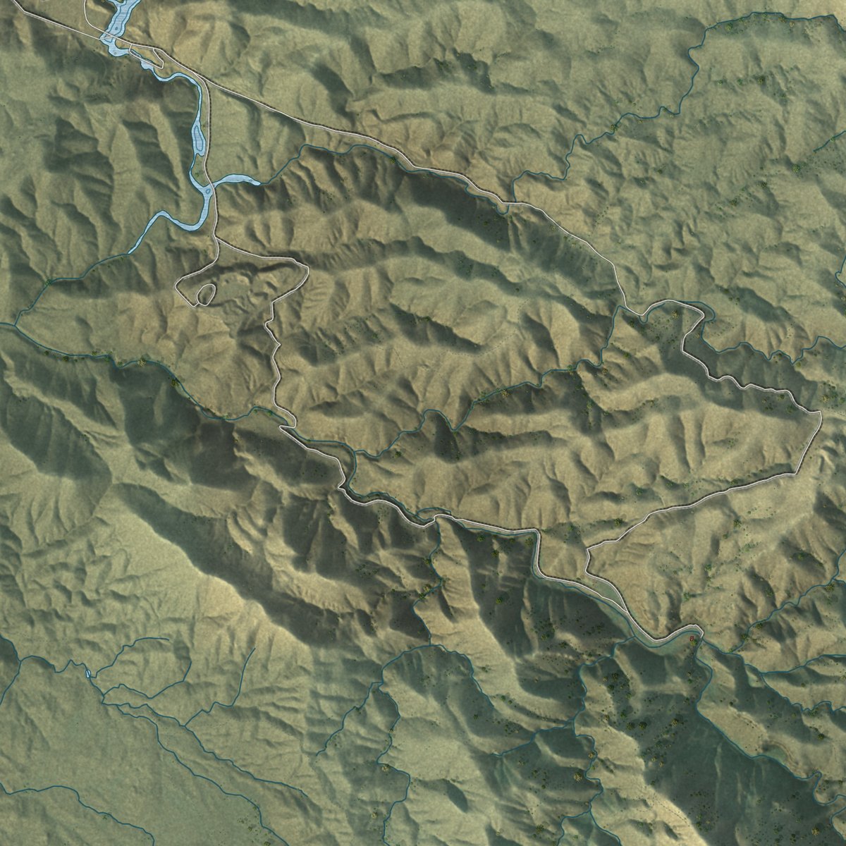
Up close
Geography Worth Displaying
This map was created using accurate cartographic data and authoritative geographic sources, including the U.S. Geological Survey (USGS) and FEMA. The map brings together terrain, waterways, roads, and building detail. The majority of the streets are labeled, houses are accurately depicted, and the topography is derived from government sources. Combining local data with carefully composed color and shading leads to this beautifully detailed Saddlebrooke artwork for your wall.
Rather than simply showing street outlines, we’ve included as many of the street names as we could reasonably fit on the map while keeping their names legible. Zoom in on the high resolution preview to see exactly what’s on the map. We truly set out to create a statement piece for anyone who loves Saddlebrooke. So whether it’s for you, or a gift for someone you love, we hope this map of Saddlebrooke brings back fond memories.
Explore the full map of Saddlebrooke, Arizona and read about the local places it shows.
Find your street
Names on the Saddlebrooke map
Every name below is printed on this map. Look for your street, your school, the park where you played, or the pond down the road.
Places and landmarks2
- Saddle Brooke
- Oracle Junction
Streets and roads90
- Pinal Pioneer Parkway
- Oracle Road
- East Alamosa
- Arroyo Way
- Peregrine Place
- East Rocky Mesa Drive
- South Ridgeview Boulevard
- Catalina Hills Drive
- East Saddlebrooke Road
- East Via Afortunado
- Northwood Road
- Dillon Road
- South Lago del Oro Parkway
- Saddlebrooke Boulevard
- East Arroyo Vista Drive
- Sand Crest Drive
- East Edwin Road
- South Wild Cow Ravine Road
- Falcon Valley Ranch Road
- South Golf Course Drive
- East Robson Circle
- Project Drive
- Edwin Road
- South Willow Springs Road
- Biosphere Road
- South Egret Trail
- South Windcrest Drive
- East Canyon Drive
- Rangewood Drive
- Cactus Lane
Show all 90 streets
- Dam Road
- South Rock Crest Drive
- South Loma Serena Drive
- South Spoon Drive
- East Brassie Drive
- East Harmony Drive
- Eagle Crest Ranch Boulevard
- Golder Dam Road
- South Palisade Place
- Lexi Way
- Sandcrest Drive
- Horse Run Drive
- South Mountain View Boulevard
- South Santa Monica Trail
- South Desert Bluff Drive
- Desert Highland Drive
- South Skyline Drive
- South Biopshere Road
- South Winding Trail Drive
- East Eagle Mountain Drive
- South Golder Dam Road
- South De Vargas Road
- East Hielo Road
- East Border Rock Road
- South Quail Run Drive
- South Flat Rock Drive
- South Silverwood Drive
- South Overlook Drive
- East Eagle Ridge Drive
- Cll Rosa Linda
- Greenbelt Lane
- Basin Camp Road
- Desert Sky Lane
- East Rose Crest Drive
- Amberwood Drive
- East Canyon Shadows Lane
- South Sengspiration Drive
- East Arroyo Gande Drive
- Alder Drive
- South Justin Lane
- East Catalina Hills Drive
- South Canada del Oro Drive
- Clubhouse Drive
- South Lake Crest Drive
- South Rolling Hills Drive
- Desert Bluff Drive
- Copper Ridge Court
- South Samaniego Drive
- East Ankole Drive
- Desert Sun Drive
- South Diamond Bay Drive
- East Rose Ridge Drive
- Old Arena Drive
- Oakwood Drive
- South Granite Crest Drive
- East Shale Road
- South Canyon View Drive
- Horseshoe Bend Road
- East Arroyo Grande Drive
- East Sundance Place
Names are listed as they appear on the printed map. Zoom into the product photos to find them.
About Saddlebrooke, Arizona
Saddlebrooke is a retirement community of 12,574 people in Pinal County. It lies just north of Oro Valley, and Tucson is close by. The community sits about 3,400 feet up, below the Santa Catalina Mountains, so it stays cooler all year than many other places in Arizona.
The development is made up of two communities, SaddleBrooke One and SaddleBrooke Two. Each has its own homeowners association. SaddleBrooke Two takes in the Preserve subdivision. Eagle Crest is a smaller neighborhood open to people of any age, and it is part of the same census area. The census counted 6,552 households here, and just 4.7% of them had children under 18.
- Station 373 since 1990Golder Ranch Fire District got its start in November 1977, when volunteers in Catalina ran it from one station. By 2001 all of its firefighters were paid staff. In 1990 it opened Station 373 in the middle of SaddleBrooke. The station was rebuilt inside and reopened in 2010. Its engine and ambulance answer calls across SaddleBrooke and along State Highways 77 and 79.
- A second station in 2008As homes spread into the SaddleBrooke Preserve, the fire district opened Station 372 there in 2008. The district now has ten stations. They cover SaddleBrooke, SaddleBrooke Ranch, Catalina and Oro Valley, plus parts of Pima and Pinal counties.
- Named by Father Kino in 1697The Tohono O'odham knew the mountains above Saddlebrooke as Babad Do'ag. Father Eusebio Francisco Kino, a Jesuit, gave them a saint's name in 1697, honoring Catherine of Alexandria, his oldest sister's patron saint. Early maps spelled it Santa Catarina. Santa Catalina became the usual name around the turn of the 20th century.
- Protected since 1902The range rises to Mount Lemmon, at 9,157 feet. It was set aside in 1902 as the Santa Catalina Forest Reserve. Today it is part of the Coronado National Forest.
Keep exploring Arizona
Saddlebrooke is one of 528 Arizona towns we've mapped. Every dot on the map is a print of its own.
The search covers every state, Arizona first.
Near Saddlebrooke
Order 2 or more town maps and save 10%. Shown in the size and finish you picked above, so they hang as a set.
- Catalina 12" x 18" / Archival Matte Print $39.99
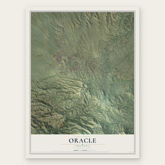
- Oracle 12" x 18" / Archival Matte Print $39.99
- Summerhaven 12" x 18" / Archival Matte Print $39.99


More maps nearby: Campo Bonito, Oro Valley, Mammoth, San Manuel and Tortolita.
The art of mapping a place
How This Map Was Made
Real places. Remarkable detail. Discover the layers that turn geographic data into a map of home.

The view from above
Aerial imagery reveals the character of the land: woodland, open fields, and the patterns of a place.

The shape of the land
Elevation data brings hills, valleys, and subtle changes in the landscape into view.

The details of home
Roads, waterways, and building footprints come together to make the map feel unmistakably local.

Geography becomes art
Considered color, shading, and typography bring the layers together in a map made for your wall.


Process illustrated with Mendon, Massachusetts. Aerial imagery: USDA NAIP. Terrain: USGS 3D Elevation Program. Map details and finished artwork: KNOWOL.
The Details
About This Print
Choose an archival matte print, or a black or white Ayous wood frame. The archival matte print is unframed.
Select your size and finish above to see the matching product image and price.
Materials & Craftsmanship
A contemporary map with the character of a classic atlas, printed on archival matte paper. Optional frames are made from Ayous wood.
Your printed map does not include the watermark shown in the full-map preview.
Shipping & Delivery
Free shipping within the United States. Every print is made to order in the USA.
Buying a gift? Add a note in your cart and we'll include it. We never put prices in the package.
Prints ship within 2 to 3 business days. Allow 7 to 10 days total from ordering for delivery. Timing may vary during holidays or periods of high order volume.
Read our shipping policy.
Returns and damaged prints
Each print is made to order. Change-of-mind refunds are not available after production.
If your print arrives damaged, misprinted or incorrect, contact support@knowol.com within 30 days of receiving it. Include your order number, photos and a description of the issue.
Read our full refund and replacement policy. For questions about your order, email support@knowol.com.