
Search for another town




Free U.S. delivery 7 to 10 days after you order
Centreville, Virginia Map Art
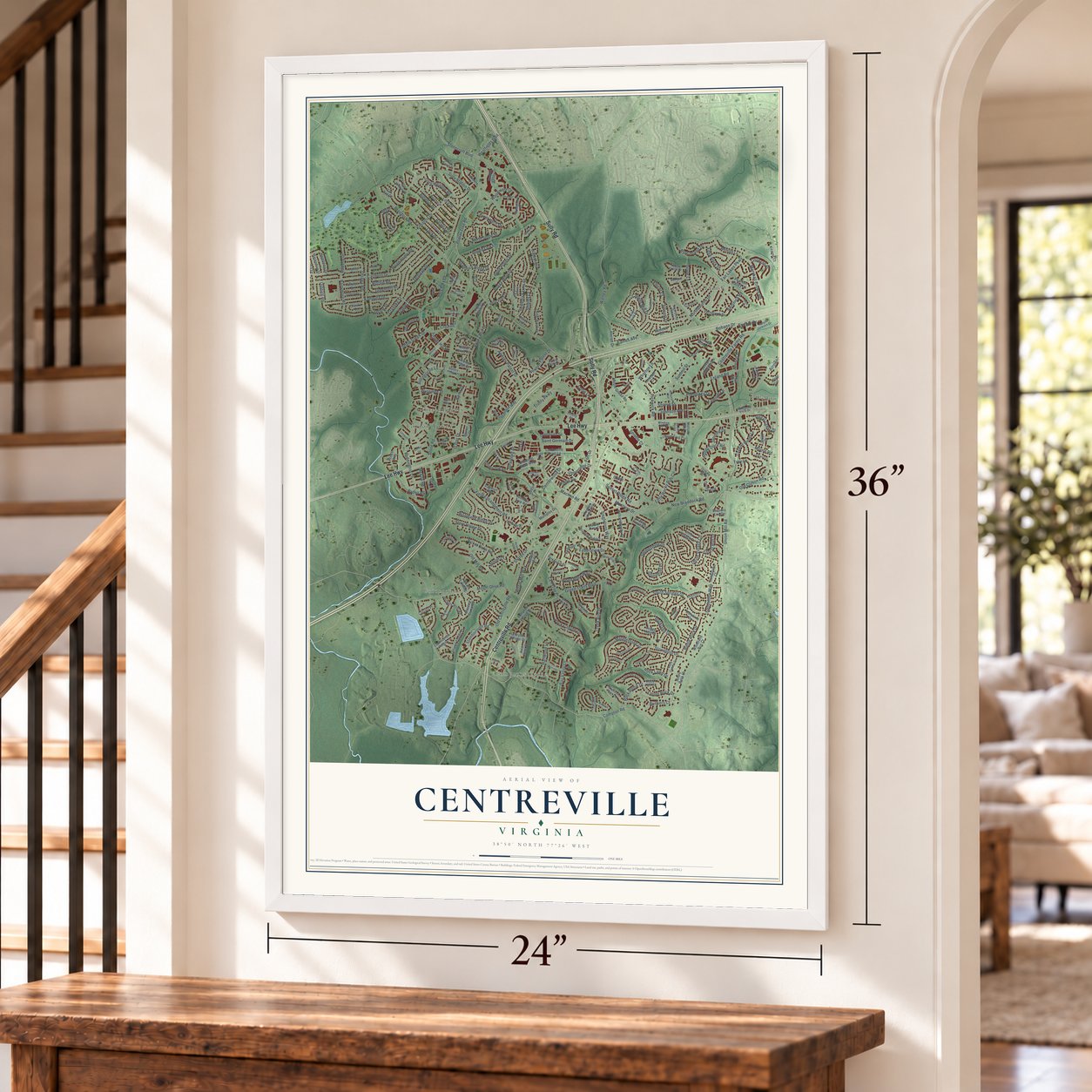
A new map of Centreville, Virginia, made in 2026 and printed to order on thick archival matte paper.
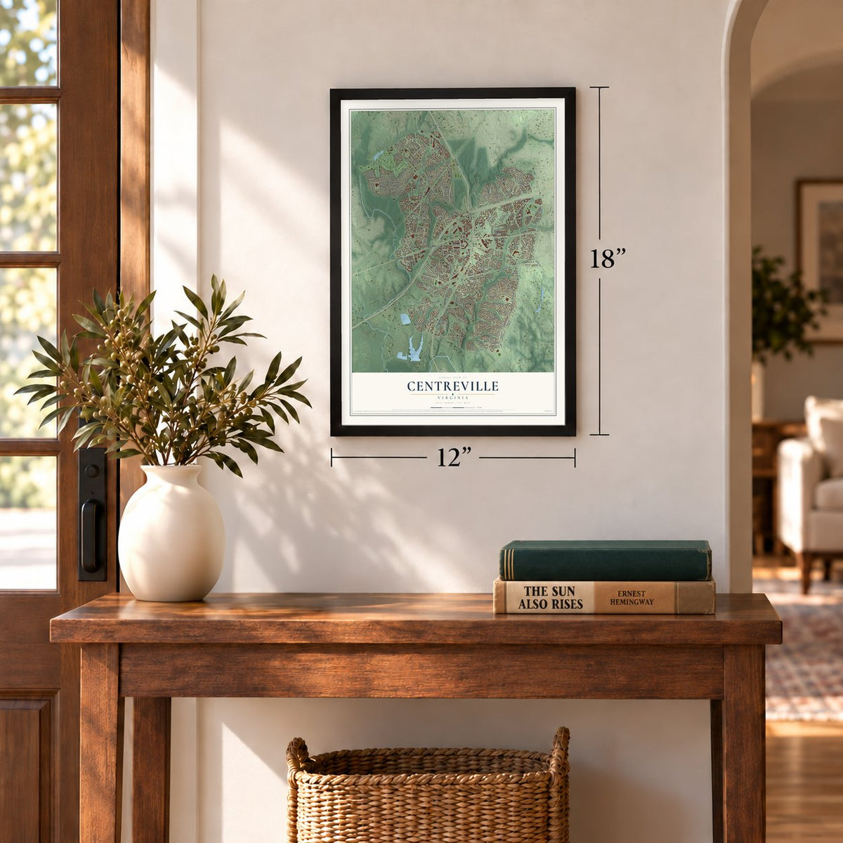
12" x 18" Archival Matte Print
A Map of Home. A Work of Art.
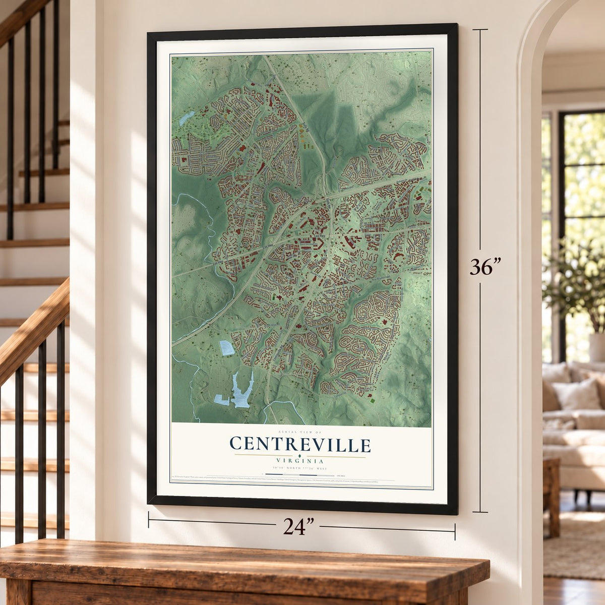
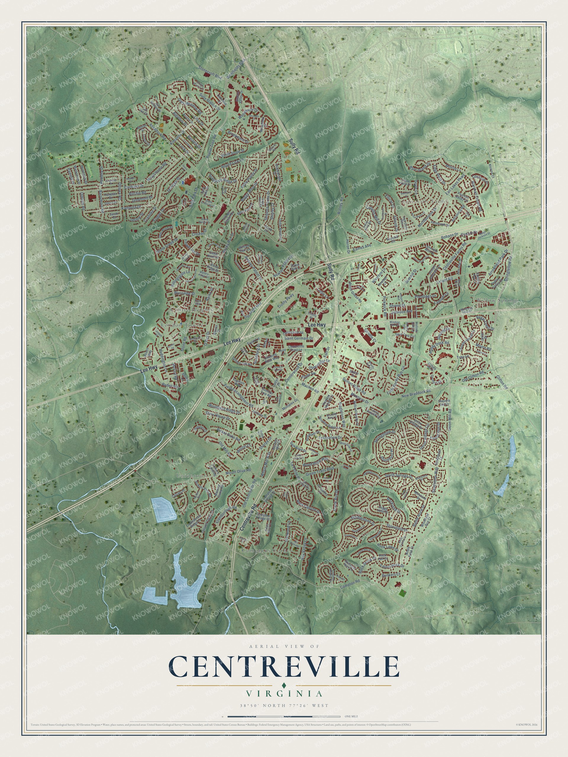
Explore Centreville, Virginia from a whole new perspective. Created using aerial imagery and detailed geographic data, this map captures Centreville building by building, with labeled streets, familiar landmarks, and shaded topographical relief that highlights the natural contours of the landscape.
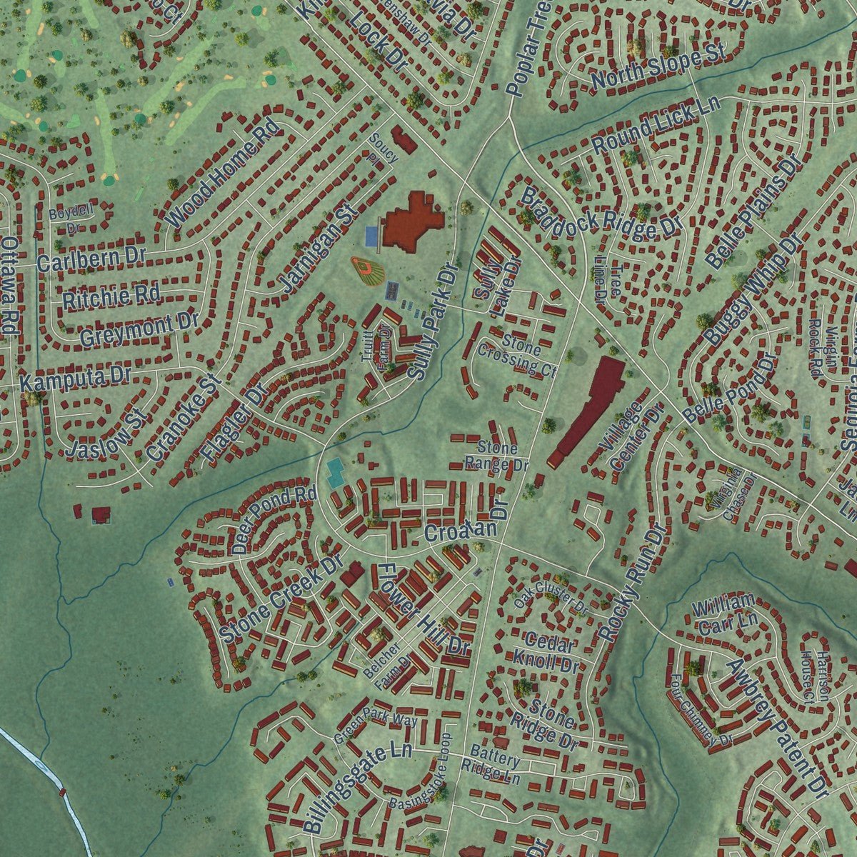
Combining modern data with the timeless character of a vintage atlas, this map is just as interesting up close as it is beautiful on the wall. Whether you grew up in Centreville, spent memorable years there, or call it home today, this unique map is a great way to celebrate a place that means something to you. Zoom in on the preview to look for your street, and then order a print to put your memories on the wall.
Three ways to hang it
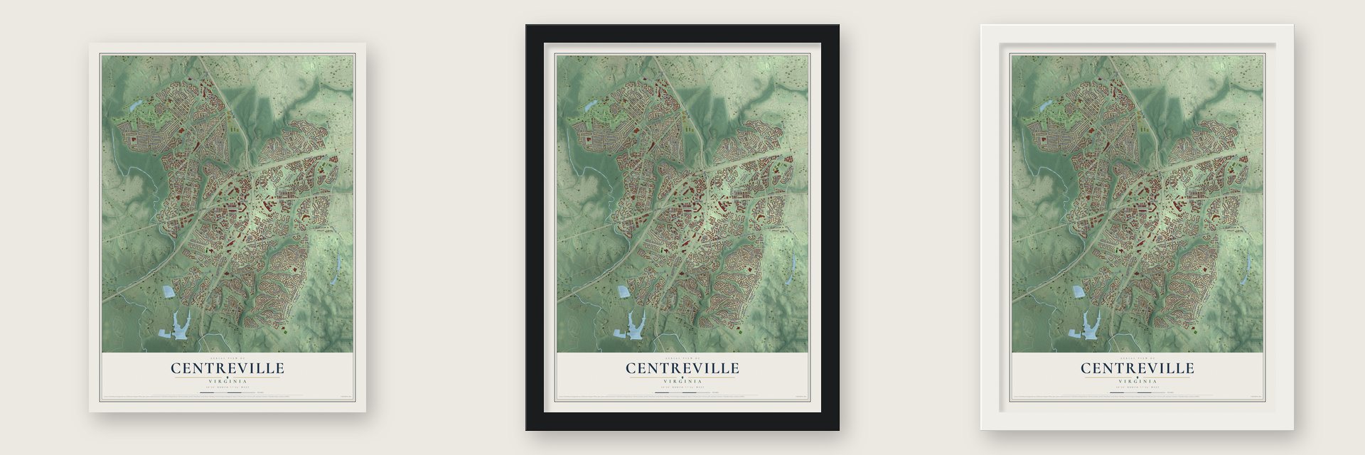
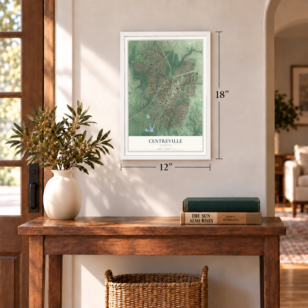
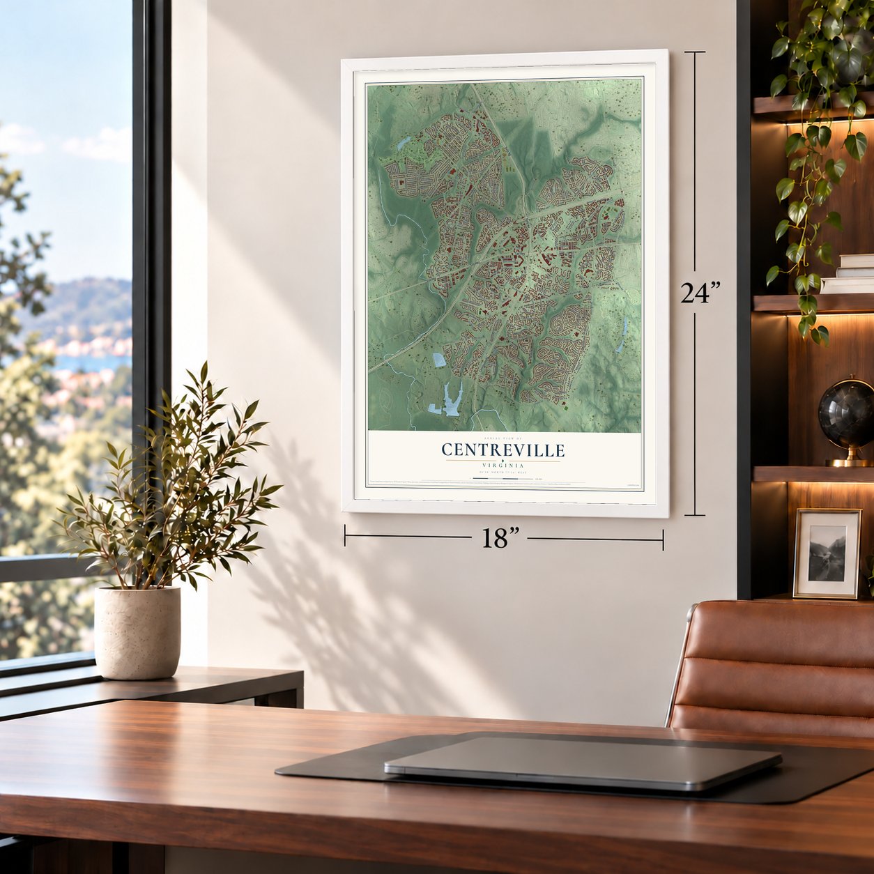
Unframed archival matte, a black wood frame or a white wood frame.
Up close
Geography Worth Displaying
This map was created using accurate cartographic data and authoritative geographic sources, including the U.S. Geological Survey and the Census Bureau. The map brings together terrain, waterways, roads, and building detail. The majority of the streets are labeled, houses are accurately depicted, and the topography is derived from government sources. Combining local data with carefully composed color and shading leads to this beautifully detailed Centreville artwork for your wall.
Rather than simply showing street outlines, we’ve included as many of the street names as we could reasonably fit on the map while keeping their names legible. Zoom in on the high resolution preview to see exactly what’s on the map. We truly set out to create a statement piece for anyone who loves Centreville. So whether it’s for you, or a gift for someone you love, we hope this map of Centreville brings back fond memories.
Read the story behind this map of Centreville, Virginia from 2026.

About Centreville, Virginia
Centreville is a community of 73,518 people in Fairfax County, about 20 miles west of Washington, D.C. It has more people than any other community in the county. In the 1760s the place was called Newgate, after a busy tavern run by William Carr Lane. He and James Lane, Jr. also shared a store close by. The two men sold convicted servants, so the tavern may have been named for the Newgate prison in London. A small creek near it was called the River Thames.
Local landowners asked the Virginia General Assembly for a town, and in 1792 it created Centerville at Newgate, on the turnpike. The spelling soon changed to Centreville. The town sat in the middle of Alexandria, Colchester, Dumfries, Middleburg, Georgetown, Warrenton and Leesburg, and it was named for that central spot. One landowner, James Hardage Lane, hoped the town would support his wife and children after his death. It began in Loudoun County and moved into Fairfax County in 1798, when the county line shifted.
“Half a mile west is the terminus of the Centreville Military Railroad, the first railroad in the world constructed exclusively for military purposes.”
- Half-acre town lotsThe first town was laid out in half-acre lots, with homes and shops side by side. People built frame houses, stores, taverns, a schoolhouse, blacksmith shops and tan yards.
- Fortified in 1861Centreville sits on a high ridge near several key roads, so it had a wide view and real value in the Civil War. The Confederates built strong defenses here over the winter of 1861 and early 1862. At different times the town held supplies for both armies. The First and Second Battles of Manassas and the Battle of Chantilly were all fought nearby.
- Mosby's ConfederacyConfederate Colonel John S. Mosby and his partisan rangers used the hills and farms around Centreville as their base. Because of them, the area became known as Mosby's Confederacy.
Find your street
Names on the Centreville map
Every name below is printed on this map. Look for your street, your school, the park where you played, or the pond down the road.
Places and landmarks6
- Uniontown
- Centreville Farms
- Centre Heights
- Comptons Corner
- London Towne
- Willow Springs
Streets and roads294
- Centreville Road
- Sully Road
- Lee Highway
- Union Mill Road
- Centreville Farms Road
- Poplar Tree Road
- Billingsgate Lane
- Stringfellow Road
- Clifton Road
- Trinity Parkway
- Sequoia Farms Drive
- Sully Station Drive
- La Petite Place
- Wycombe Street
- Braddock Road
- New Braddock Road
- Compton Road
- Old Centreville Road
- Stone Road
- Saint Germain Drive
- Springstone Drive
- South Springs Drive
- Pickwick Road
- Centerwood Drive
- Carlbern Drive
- Westfields Boulevard
- Leland Road
- Sully Park Drive
- Little Rocky Run Circle
- Cabells Mill Drive
Show all 294 streets
- Rockland Drive
- Kamputa Drive
- Greymont Drive
- Machen Road
- Wharton Lane
- Cranoke Street
- Stonecroft Boulevard
- Lock Drive
- Paddington Lane
- Mount Olive Road
- Northbourne Drive
- Union Village Circle
- Lotus Lane
- Stonefield Drive
- Old Mill Road
- Singletons Way
- Awbrey Patent Drive
- Green Trails Boulevard
- Arrowhead Park Drive
- O'Day Drive
- Bobann Drive
- Newton Patent Drive
- Field Encampment Road
- Bay Valley Lane
- Braddock Ridge Drive
- Ottawa Road
- Marblestone Drive
- Rocky Run Drive
- Barrymore Road
- Fair Lakes Parkway
- Olddale Road
- Federation Drive
- Buggy Whip Drive
- Round Lick Lane
- Glen Meadow Road
- Rock Canyon Drive
- Picket Oaks Road
- Creek Run Drive
- Sunset Ridge Road
- Marshall Crown Road
- Flamborough Road
- Hartwood Lane
- Algretus Drive
- Veronica Road
- Edge Rock Drive
- Pamela Drive
- Connor Drive
- Store House Drive
- Kimanna Drive
- Wood Rock Way
- Honsena Drive
- Battle Rock Drive
- North Slope Street
- Laurel Rock Drive
- Heron Drive
- Asher Vw
- Doyle Lane
- Batavia Drive
- Bare Island Drive
- Old Clifton Road
- Lilva Drive
- Shreve Street
- Lamium Lane
- Belle Plains Drive
- Walney Road
- Brookmere Drive
- Wood Home Road
- Wheat Mill Way
- Ruddy Duck Road
- Woodland Ridge Drive
- Rydell Road
- Flagler Drive
- Jaslow Street
- Turin Lane
- Moore Road
- Jarnigan Street
- Summit Street
- Upperridge Drive
- Forest Run Drive
- Flower Hill Drive
- Woodmere Drive
- Johnson Avenue
- Bunkers Court
- Rock Brook Drive
- Rock Lawn Drive
- Strasburg Drive
- Rowena Drive
- Plumbago Drive
- Montiero Drive
- Cochran Place
- Regal Crest Drive
- Muster Court
- Stone Creek Drive
- Ellicott Drive
- Sharps Drive
- Stonehunt Place
- Ritchie Road
- Gosling Drive
- Sandstone Way
- Shipley Court
- McCoy Road
- Raina Drive
- Eames Avenue
- Croatan Drive
- Spindle Court
- Ellicot Court
- Trey Lane
- Fort Drive
- Hoskins Hollow Circle
- Centerville Crest Lane
- Compton Village Drive
- Bent Tree Circle
- Cedar Break Drive
- Summer Tree Road
- Winding Ridge Lane
- Havener House Way
- Station Valley Drive
- Palisades Drive
- William Carr Lane
- Lavender Mist Lane
- Red River Drive
- Sammie Kay Lane
- Mount Gilead Road
- Multiplex Drive
- Uniform Drive
- Gladewright Drive
- Jule Star Drive
- Melville Lane
- Pickets Post Road
- Climbing Rose Way
- Cavalier Woods Lane
- Village Center Drive
- Belle Pond Drive
- Deer Pond Road
- Colonel Taylor Lane
- Deviar Drive
- Meeting Camp Road
- William Mosby Drive
- Woodfield Drive
- Confederate Ridge Lane
- Barros Drive
- Orchard Drive
- Joseph Johnston Lane
- Prince Way
- Laura Ratcliff Court
- Golden Oak Road
- Sully Lake Drive
- Fernbrook Drive
- Wicker Lane
- Kearns Court
- Royal Oak Lane
- Centreville Square
- Jarist Drive
- Sandstone Court
- Harvest Mill Court
- Sequoia Lea Drive
- Union Village Drive
- Mackenzie Street
- Stone Ridge Drive
- Hollow Oak Lane
- Darkwood Drive
- Gothic Drive
- Pearson Valley Lane
- Tarleton Drive
- Poplar Valley Court
- Compton Village Court
- Oakmere Drive
- Outpost Court
- Woodland Run Court
- Rock Fall Court
- Noble Rock Court
- Calvary Place
- Cedar Knoll Drive
- Shirey Lane
- Newhall Court
- Melstone Drive
- Cristo Court
- Foggy Hills Court
- Folkers Landing
- Eastcliff Circle
- Papilion Way
- Rosy Lane
- Jacob Lane
- Cattail Lane
- Jarski Court
- Trinity Place
- Cat Tail Court
- Battery Ridge Lane
- Cool Oak Lane
- Compton Heights Circle
- Winding Oak Circle
- Seasons Drive
- Springhouse Circle
- Rock Crystal Drive
- Tree Line Drive
- Baugher Drive
- Creek Branch Court
- Laurel Rock Court
- Stone Crossing Court
- Thera Way
- Stonebrook Drive
- Whetstone Manor Court
- Blue Gray Lane
- Ralph Jackson Drive
- Ulderic Drive
- Virgin Rock Road
- Grumble Jones Court
- Bent Tree Lane
- Yellow Poplar Drive
- Indian Rock Road
- Ridge Water Court
- Matthews Vista Drive
- Sorrel Chase Court
- Sun Meadow Court
- Bluestone Place
- High Grove Hills Lane
- Orchard Hill Court
- Wood Lilly Lane
- Gulliver Road
- Stone Range Drive
- Woods Run Court
- Basingstoke Loop
- Belcher Farm Drive
- Summer Pond Drive
- Glencrest Circle
- Crenshaw Drive
- Silo Valley Vw
- Autumn Circle
- Sweet Woodruff Lane
- Four Chimney Drive
- Truitt Farm Drive
- Hart Forest Drive
- Ridge Pond Road
- Shalestone Drive
- Green Park Way
- Oak Cluster Drive
- Lambeth Square
- Darkwood Circle
- British Manor Court
- Ponderlay Drive
- Joel Beach Lane
- Rushbrook Drive
- Weinstein Court
- Bodley Square
- Musket Ball Drive
- Stonefield Lane
- Faircloth Court
- Muskett Way
- Coble Laskey Court
- Virginia Chase Drive
- Caswell Court
- Gresham Lane
- Bella Drive
- Green Trails Court
- Newgate Boulevard
- Marleigh Lane
- Rock Hollow Lane
- Bebe Court
- Harrison House Court
- Pittman Court
- Oak Rock Court
- Boydell Drive
- Stroud Court
- Soucy Place
Names are listed as they appear on the printed map. Zoom into the product photos to find them.
The art of mapping a place
How This Map Was Made
Real places. Remarkable detail. Discover the layers that turn geographic data into a map of home.

The view from above
Aerial imagery reveals the character of the land: woodland, open fields, and the patterns of a place.

The shape of the land
Elevation data brings hills, valleys, and subtle changes in the landscape into view.

The details of home
Roads, waterways, and building footprints come together to make the map feel unmistakably local.

Geography becomes art
Considered color, shading, and typography bring the layers together in a map made for your wall.


Process illustrated with Mendon, Massachusetts. Aerial imagery: USDA NAIP. Terrain: USGS 3D Elevation Program. Map details and finished artwork: KNOWOL.
The Details
About This Print
Choose an archival matte print, or a black or white Ayous wood frame. The archival matte print is unframed.
Select your size and finish above to see the matching product image and price.
Materials & Craftsmanship
A contemporary map with the character of a classic atlas, printed on archival matte paper. Optional frames are made from Ayous wood.
Your printed map does not include the watermark shown in the full-map preview.
Shipping & Delivery
Free shipping within the United States. Every print is made to order in the USA.
Buying a gift? Add a note in your cart and we'll include it. We never put prices in the package.
Prints ship within 2 to 3 business days. Allow 7 to 10 days total from ordering for delivery. Timing may vary during holidays or periods of high order volume.
Read our shipping policy.
Returns and damaged prints
Each print is made to order. Change-of-mind refunds are not available after production.
If your print arrives damaged, misprinted or incorrect, contact support@knowol.com within 30 days of receiving it. Include your order number, photos and a description of the issue.
Read our full refund and replacement policy. For questions about your order, email support@knowol.com.
Find your town
Looking for another city?
Find a map of home in our Virginia collection, or any town in the country.
Nearby
Maps of towns near Centreville
Know someone from one of these towns? Their map makes a great gift.
 Bull Run
, Fairfax County, Virginia
From $39.99See the map
 Fair Lakes
, Virginia
From $39.99See the map
 Chantilly
, Virginia
From $39.99See the map
More maps nearby: Greenbriar, Yorkshire, Union Mill, Navy and Loch Lomond.