
Search for another town

Free U.S. delivery 7 to 10 days after you order
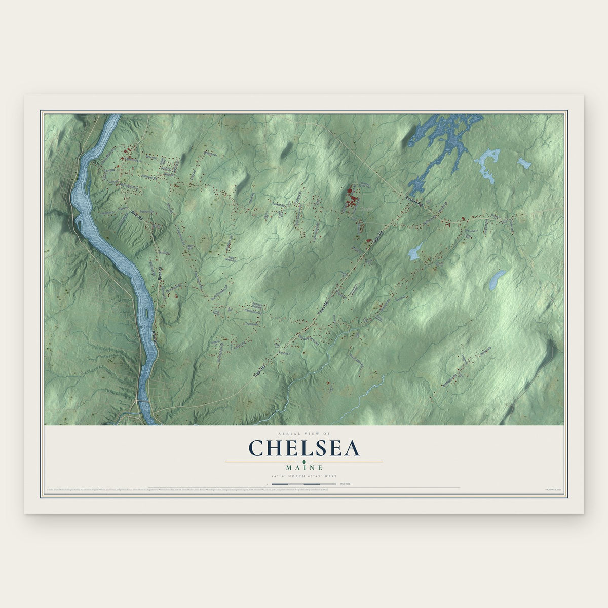
Chelsea, Maine Map Art
Building by building, with labeled streets and shaded relief.
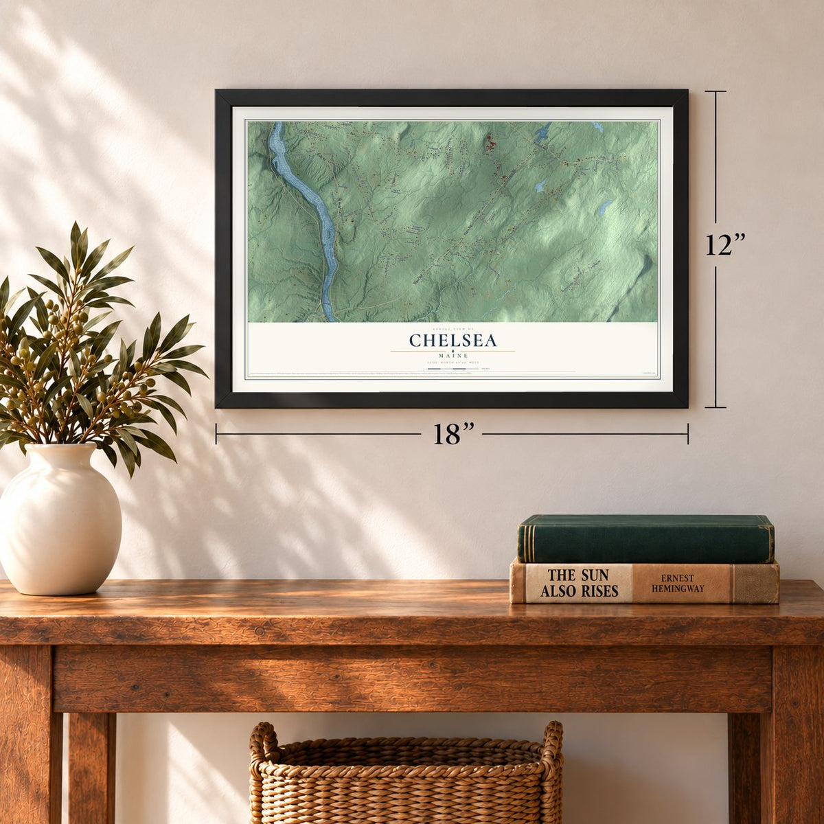
12" x 18" Archival Matte Print
A Map of Home. A Work of Art.
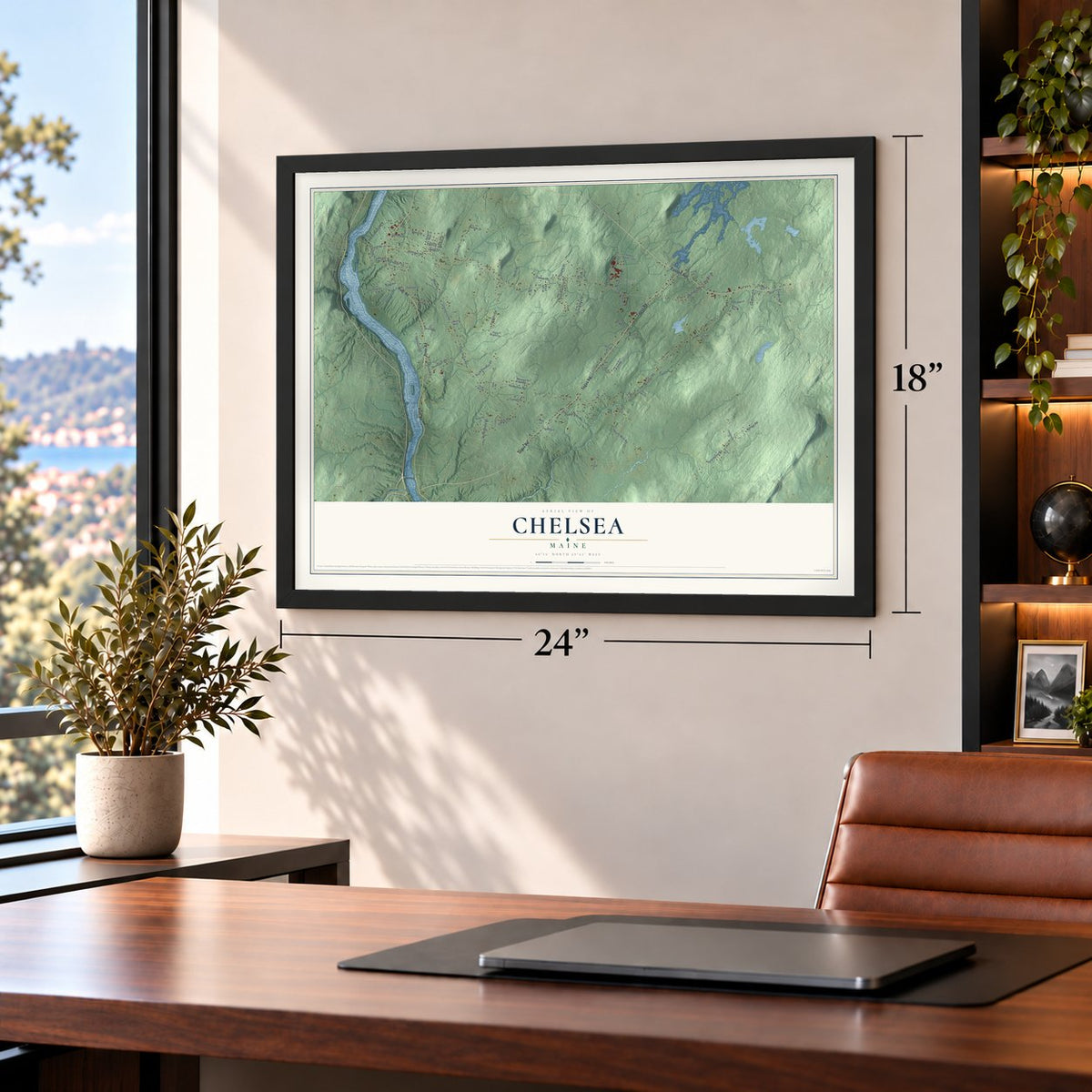
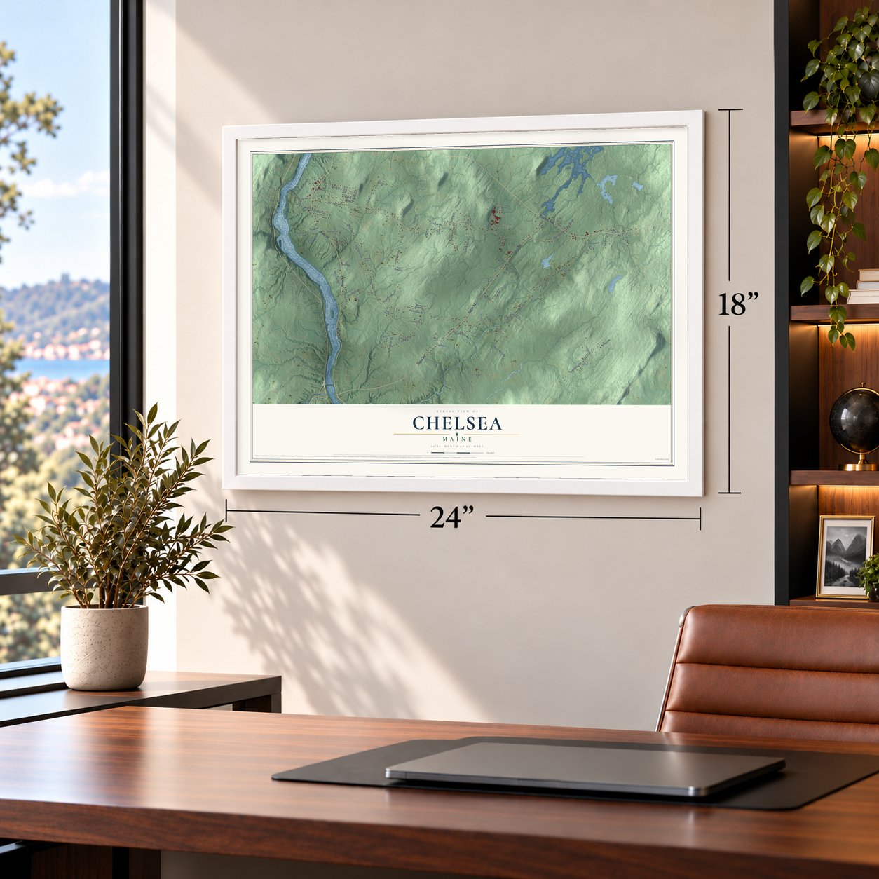
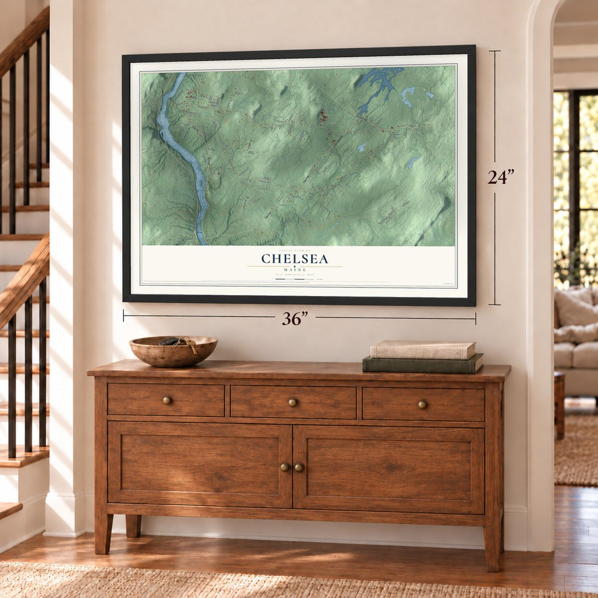
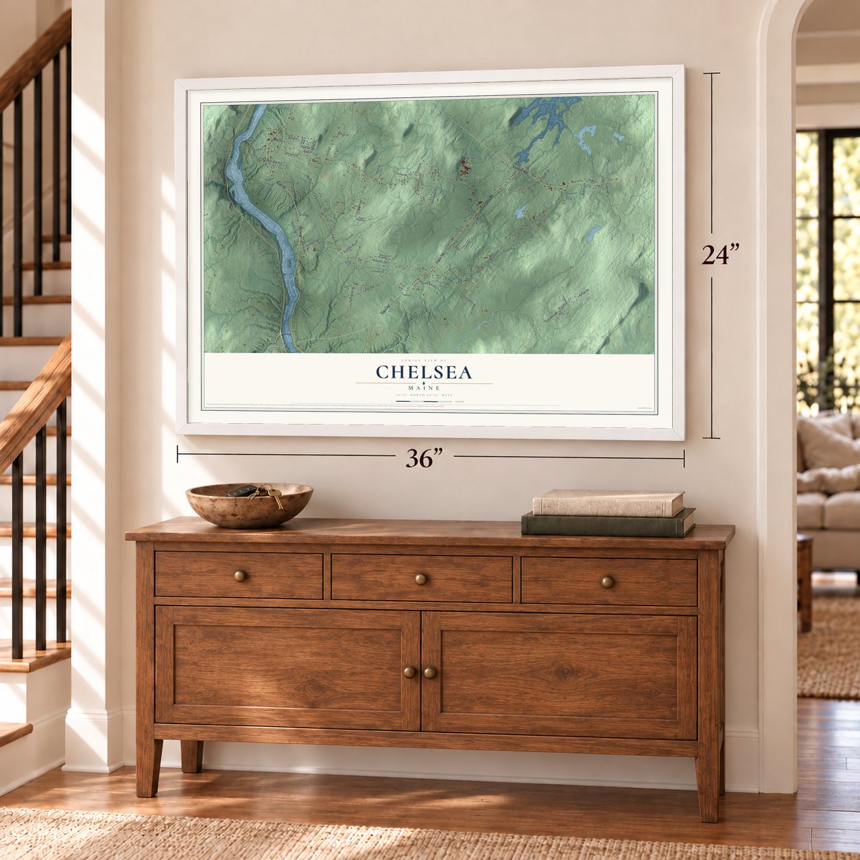
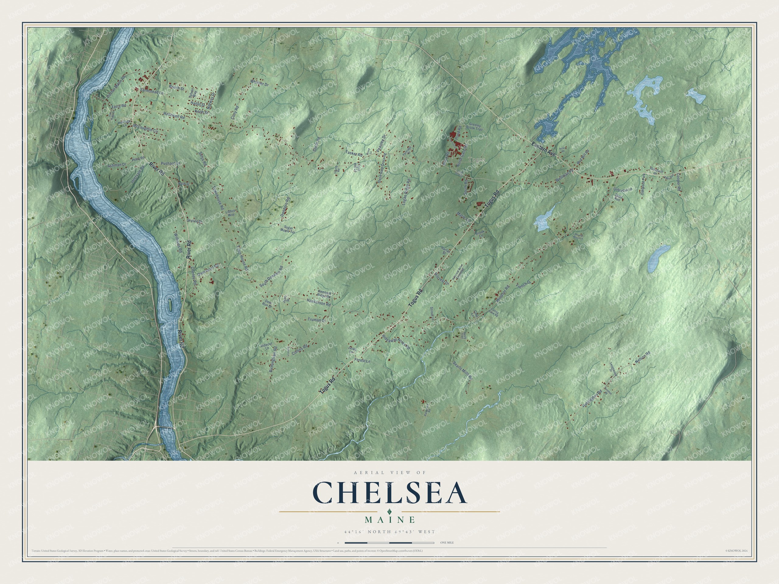
Explore Chelsea, Maine from a whole new perspective. Created using aerial imagery and detailed geographic data, this map captures Chelsea building by building, with labeled streets, familiar landmarks, and shaded topographical relief that highlights the natural contours of the landscape.
Combining modern data with the timeless character of a vintage atlas, this map is just as interesting up close as it is beautiful on the wall. Whether you grew up in Chelsea, spent memorable years there, or call it home today, this unique map is a great way to celebrate a place that means something to you. Zoom in on the preview to look for your street, and then order a print to put your memories on the wall.
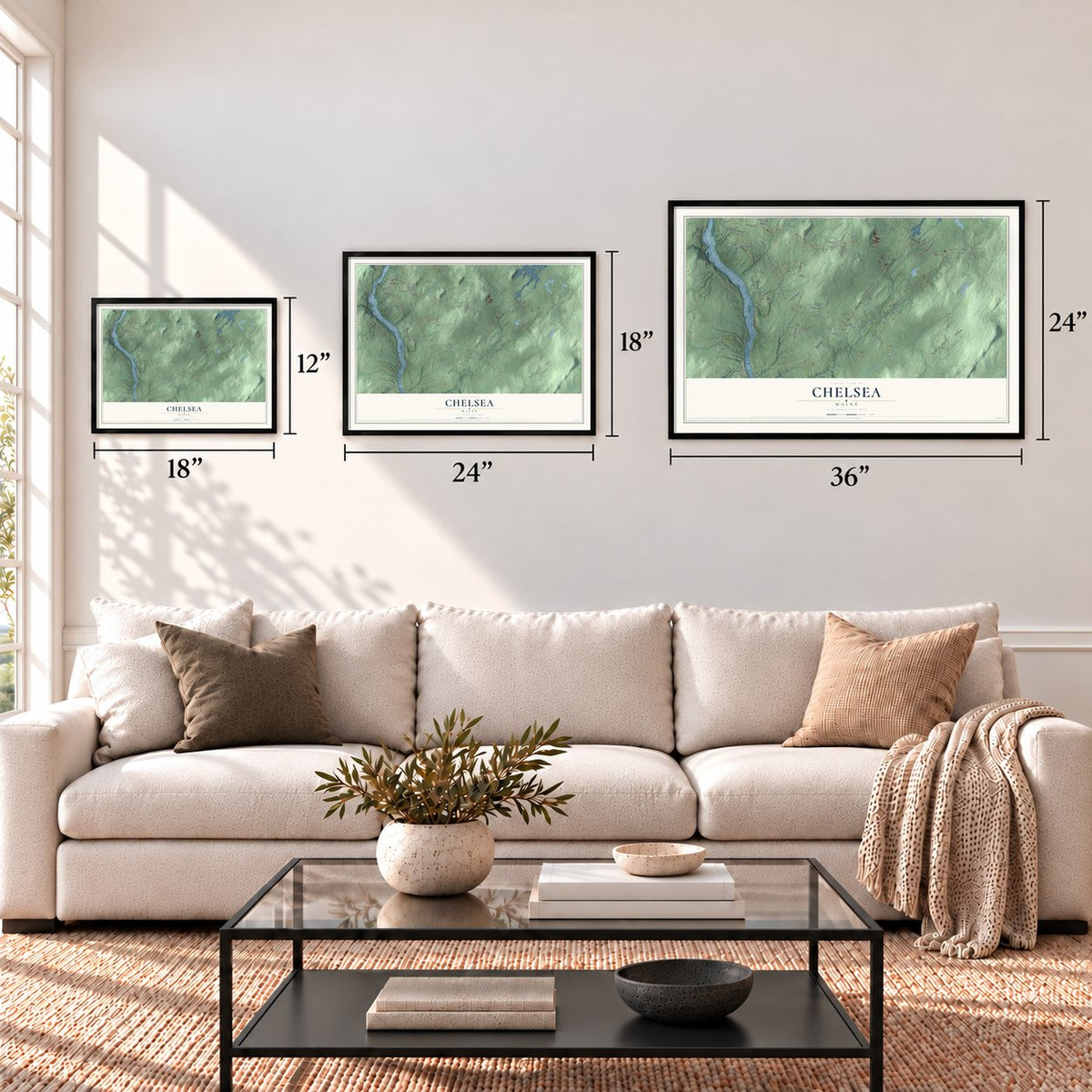
Three ways to hang it
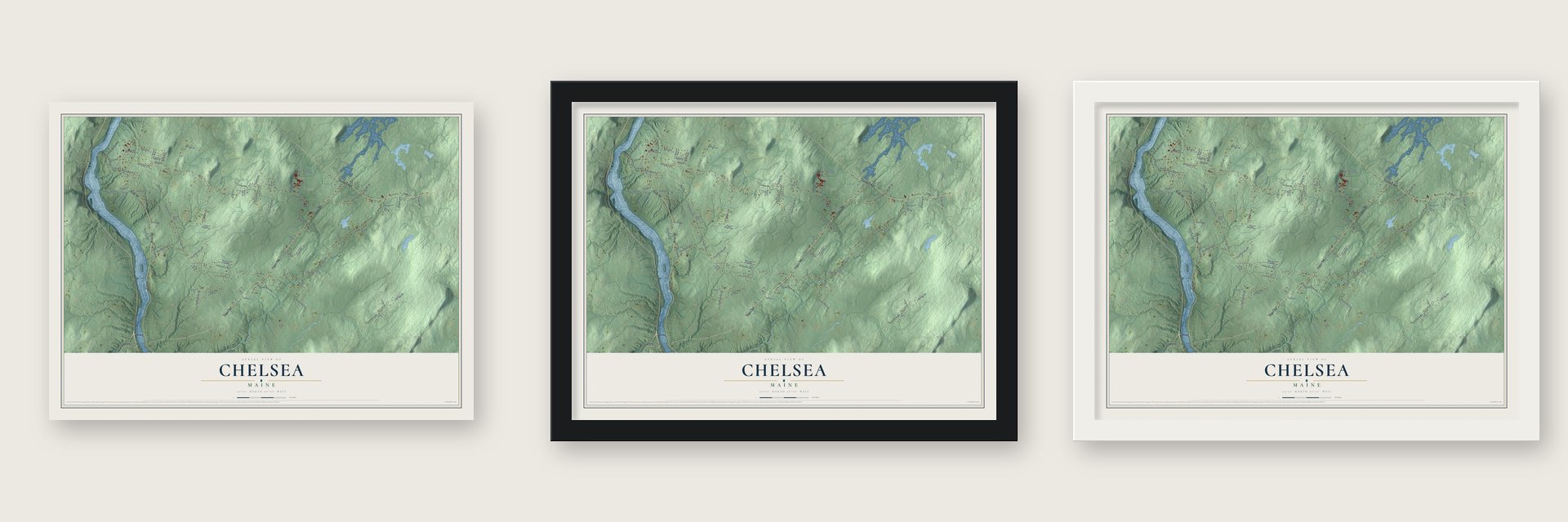
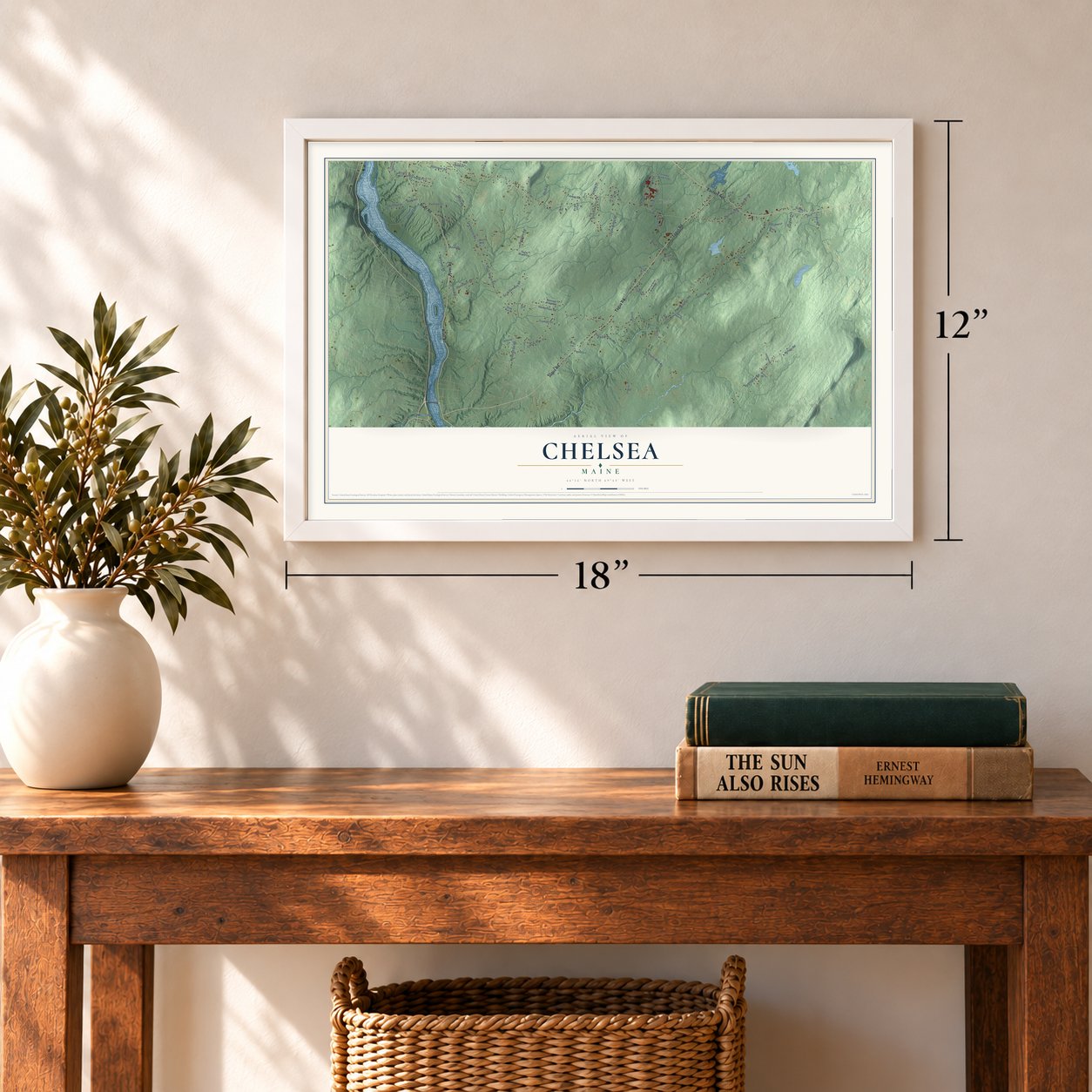
Unframed archival matte, a black wood frame or a white wood frame.
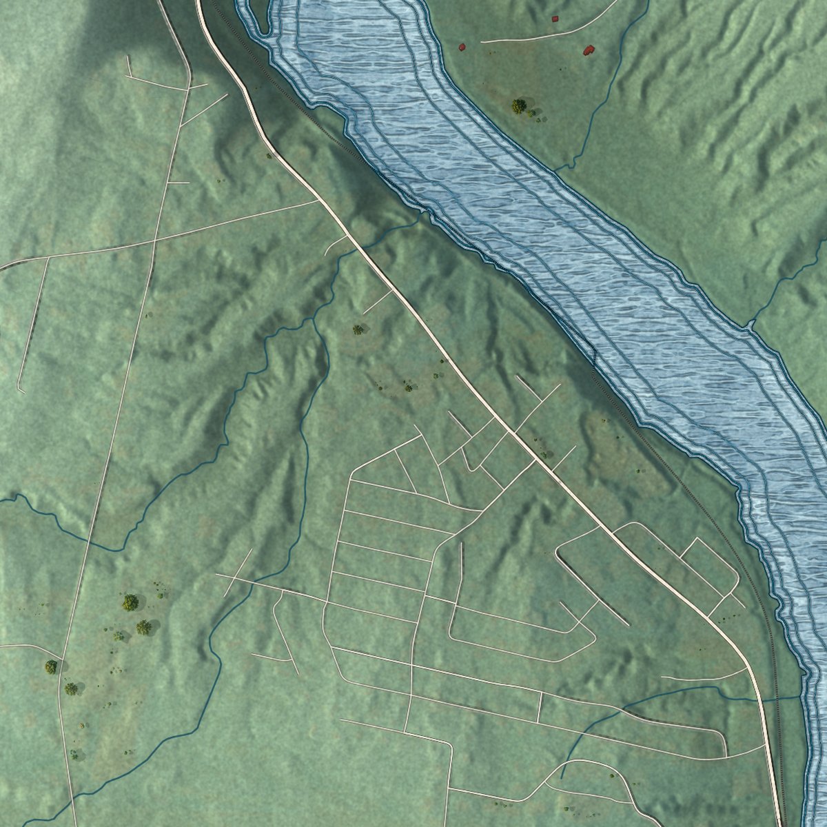
Up close
Geography Worth Displaying
This map was created using accurate cartographic data and authoritative geographic sources, including the U.S. Geological Survey (USGS) and FEMA. The map brings together terrain, waterways, roads, and building detail. The majority of the streets are labeled, houses are accurately depicted, and the topography is derived from government sources. Combining local data with carefully composed color and shading leads to this beautifully detailed Chelsea artwork for your wall.
Rather than simply showing street outlines, we’ve included as many of the street names as we could reasonably fit on the map while keeping their names legible. Zoom in on the high resolution preview to see exactly what’s on the map. We truly set out to create a statement piece for anyone who loves Chelsea. So whether it’s for you, or a gift for someone you love, we hope this map of Chelsea brings back fond memories.
Explore the full map of Chelsea, Maine and read about the local places it shows.

Find your street
Names on the Chelsea map
Every name below is printed on this map. Look for your street, your school, the park where you played, or the pond down the road.
Places and landmarks2
- Togus
- Oakwood Park
Streets and roads87
- River Road
- Togus Road
- Eastern Avenue
- North Gate Road
- Hallowell Road
- Wellman Road
- Sulya Road
- Hankerson Road
- Townhouse Road
- Windsor Road
- Town House Road
- Huntington Road
- Nelson Road
- Collins Road
- Doctor Mann Road
- Dondero Road
- Searls Mills Road
- Beech Street
- McLaughlin Circle
- Davenport Road
- Cony Road
- Ferry Road
- Intervale Road
- Ashman Drive
- Logan Ridge Road
- Forest Lane
- South Dondero Road
- Cheney Road
- Hideaway Acres Road
- Smith Road
Show all 87 streets
- Williams Road
- Farmstead Lane
- Birmingham Road
- Pushard Lane
- Pond Road
- Keith Street
- Tasker Road
- Whittier Drive
- Cooper Road
- Peaslee Drive
- French Drive
- Norway Drive
- Marie Lane
- Hallet Street
- Knox Road
- South Road
- Hilcrest Drive
- Truman Drive
- Greeley Brook Trail
- Stone Gate Crossing
- Perry Road
- Deer Run Drive
- Mud Mill Road
- Hemlock Ridge Road
- Brook Lane
- Gabradak Lane
- Jacks Lane
- Skyline Drive
- Strout Lane
- Sugar Maple Terrace
- Goodwill Drive
- Nash Street
- Rideout Lane
- Sylvan Way
- Heritage Lane
- Harlan Street
- Quail Run
- Libbys Way
- Tyra Hill Lane
- Jane Street
- Cote Lane
- Ledgewood Drive
- Hillcrest Drive Extended
- Partridge Place
- Patterson Road
- Allen Avenue
- Calling Crow Road
- Young Road
- Dusty Trail
- South Gate Road
- Patriots Street
- Morang Mount Lane
- Freeman Road
- Ricky Road
- Oak Ridge Drive
- Spice Lane
- Girard Lane
Names are listed as they appear on the printed map. Zoom into the product photos to find them.
About Chelsea, Maine
Chelsea is a town of 2,778 people in Kennebec County, on the east bank of the Kennebec River. It began as part of Hallowell, and on March 1, 1851, it was incorporated as a separate town and named for Chelsea, Massachusetts. Augusta borders it on the north, and the town is known as the Gateway to the Capital.
In the north of town lies Togus, whose name comes from Worromontogus, a Native American word meaning mineral water. Horace Beals of Rockland ran a resort called Togus Springs there from 1859 to 1863. After it failed, Washington paid $250,000 for the land, and in 1866 Congress chose the site for a home for Union soldiers disabled in the war. It was the first veterans facility the United States ever established.
- Grant's visit in 1873President Ulysses S. Grant came to Togus on August 13, 1873, to review veterans who had served under him. The home kept growing, and by 1904 nearly 2,800 veterans lived there. Men who could work ran its shops and farms and grew much of its food, and weekend visitors filled the grounds for baseball games, band concerts, the opera house and the zoo.
- Maine's first Holstein herdIn 1871 the veterans home brought three Holstein cattle across from the Netherlands. They became the first registered herd of that breed anywhere in Maine.
- The Governor's House, 1869Built of brick in 1869 with a mansard roof, the Governor's House is the only building left from that first national home, and it is a National Historic Landmark. The old campus is now the Togus VA Medical Center, with Togus National Cemetery beside it, and the two joined the National Register together in 2012.
- Medal of Honor at ChancellorsvilleJohn F. Chase, born in Chelsea in 1843, was a private in the 5th Maine Battery at Chancellorsville. With nearly every officer and man of the battery killed or wounded, he and one comrade kept their gun firing and then dragged it away to safety. In 1888 that stand earned him the Medal of Honor. Once the war was over, he turned to inventing.
- A housewright's brick homeOn River Road stands the John Davis House, a brick house in the Federal style that likely dates from 1815 to 1820. Its builder was most likely John Davis, a housewright known across the region, and local historians think he put up several houses like it in the towns around Chelsea.
Keep exploring Maine
Chelsea is one of 536 Maine towns we've mapped. Every dot on the map is a print of its own.
The search covers every state, Maine first.
Near Chelsea
Order 2 or more town maps and save 10%. Shown in the size and finish you picked above, so they hang as a set.
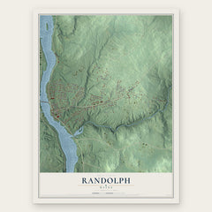
- Randolph 12" x 18" / Archival Matte Print $39.99
- Hallowell 12" x 18" / Archival Matte Print $39.99
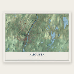
- Augusta 12" x 18" / Archival Matte Print $39.99

More maps nearby: Farmingdale, Gardiner, Pittston, Whitefield and West Gardiner.
The art of mapping a place
How This Map Was Made
Real places. Remarkable detail. Discover the layers that turn geographic data into a map of home.

The view from above
Aerial imagery reveals the character of the land: woodland, open fields, and the patterns of a place.

The shape of the land
Elevation data brings hills, valleys, and subtle changes in the landscape into view.

The details of home
Roads, waterways, and building footprints come together to make the map feel unmistakably local.

Geography becomes art
Considered color, shading, and typography bring the layers together in a map made for your wall.


Process illustrated with Mendon, Massachusetts. Aerial imagery: USDA NAIP. Terrain: USGS 3D Elevation Program. Map details and finished artwork: KNOWOL.
The Details
About This Print
Choose an archival matte print, or a black or white Ayous wood frame. The archival matte print is unframed.
Select your size and finish above to see the matching product image and price.
Materials & Craftsmanship
A contemporary map with the character of a classic atlas, printed on archival matte paper. Optional frames are made from Ayous wood.
Your printed map does not include the watermark shown in the full-map preview.
Shipping & Delivery
Free shipping within the United States. Every print is made to order in the USA.
Buying a gift? Add a note in your cart and we'll include it. We never put prices in the package.
Prints ship within 2 to 3 business days. Allow 7 to 10 days total from ordering for delivery. Timing may vary during holidays or periods of high order volume.
Read our shipping policy.
Returns and damaged prints
Each print is made to order. Change-of-mind refunds are not available after production.
If your print arrives damaged, misprinted or incorrect, contact support@knowol.com within 30 days of receiving it. Include your order number, photos and a description of the issue.
Read our full refund and replacement policy. For questions about your order, email support@knowol.com.