
Search for another town





Free U.S. delivery 7 to 10 days after you order
Cheney, Washington Map Art
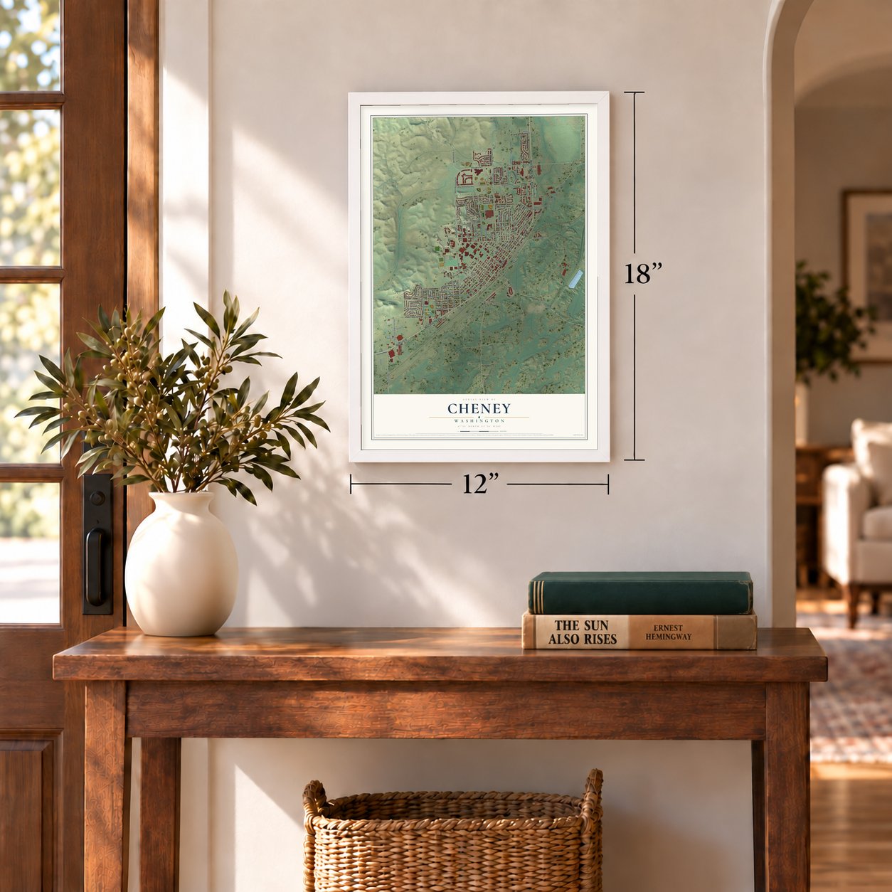
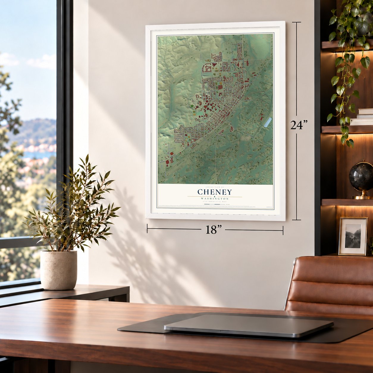
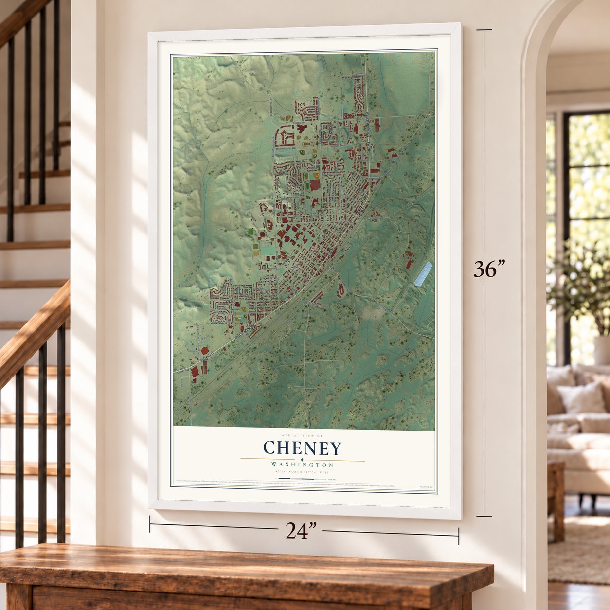
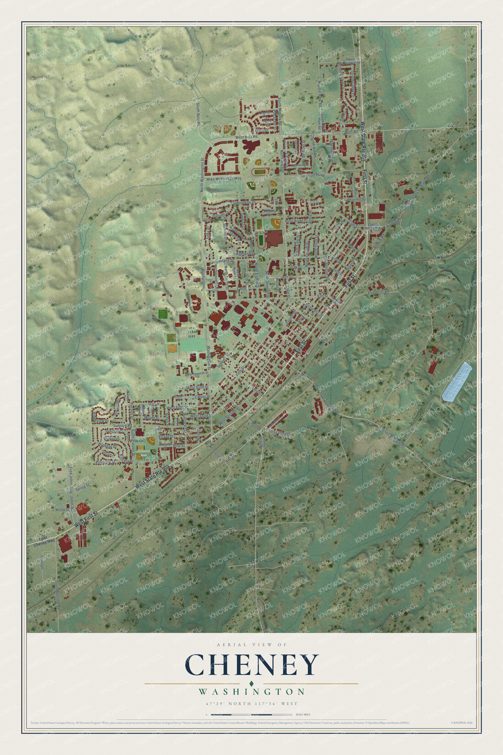
A new map of Cheney, Washington, made in 2026 and printed to order on thick archival matte paper.
12" x 18" Archival Matte Print
A Map of Home. A Work of Art.
Explore Cheney, Washington from a whole new perspective. Created using aerial imagery and detailed geographic data, this map captures Cheney building by building, with labeled streets, familiar landmarks, and shaded topographical relief that highlights the natural contours of the landscape.
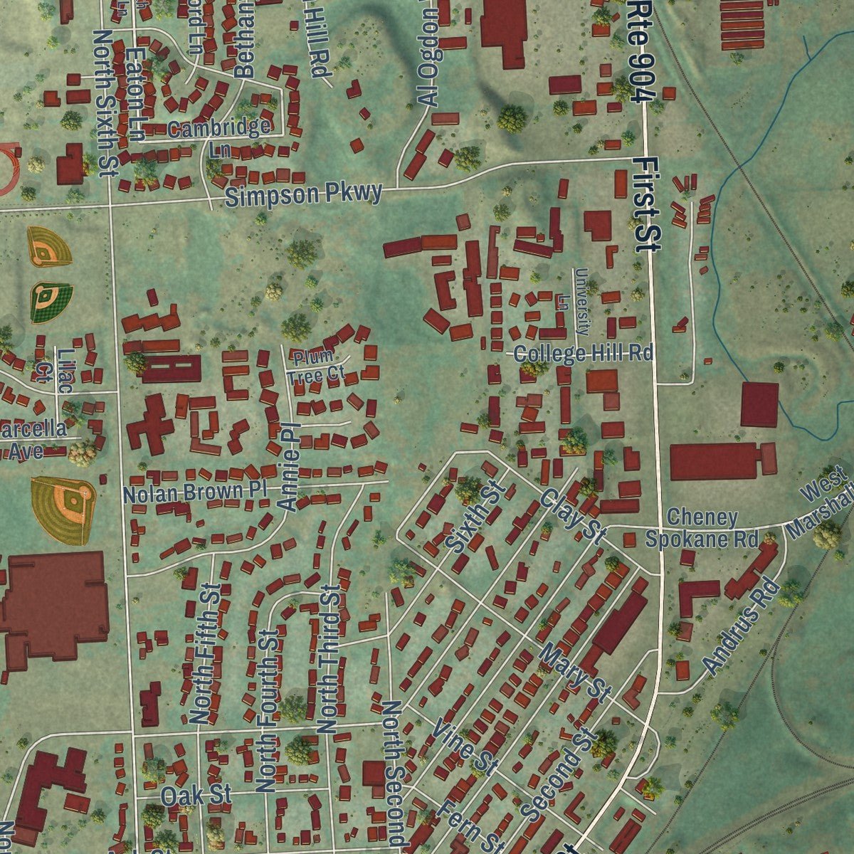
Combining modern data with the timeless character of a vintage atlas, this map is just as interesting up close as it is beautiful on the wall. Whether you grew up in Cheney, spent memorable years there, or call it home today, this unique map is a great way to celebrate a place that means something to you. Zoom in on the preview to look for your street, and then order a print to put your memories on the wall.
Three ways to hang it
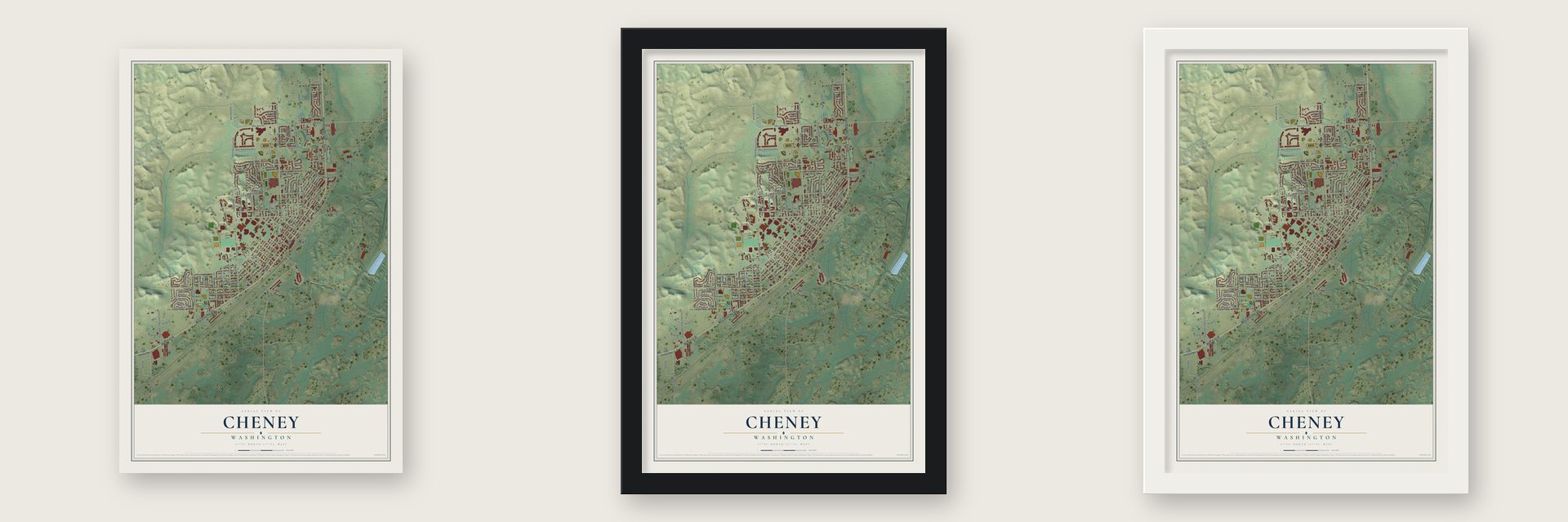
Unframed archival matte, a black wood frame or a white wood frame.
Up close
Geography Worth Displaying
This map was created using accurate cartographic data and authoritative geographic sources, including the U.S. Geological Survey and the Census Bureau. The map brings together terrain, waterways, roads, and building detail. The majority of the streets are labeled, houses are accurately depicted, and the topography is derived from government sources. Combining local data with carefully composed color and shading leads to this beautifully detailed Cheney artwork for your wall.
Rather than simply showing street outlines, we’ve included as many of the street names as we could reasonably fit on the map while keeping their names legible. Zoom in on the high resolution preview to see exactly what’s on the map. We truly set out to create a statement piece for anyone who loves Cheney. So whether it’s for you, or a gift for someone you love, we hope this map of Cheney brings back fond memories.
Read the story behind this map of Cheney, Washington from 2026.

About Cheney, Washington
Cheney is a city of 13,255 people in Spokane County, and Eastern Washington University sits at its center. Settlers came in 1878 to a cluster of springs near today's downtown and called the place Willow Springs. The name later changed to Depot Springs, then to Section 13 after the railroad survey, then briefly to Billings for the Northern Pacific's president.
On September 25, 1880, residents settled on Cheney, after Benjamin P. Cheney, a powerful Northern Pacific director. They hoped his favor would make their town the railroad hub and, in time, the region's largest city. The Northern Pacific's tracks arrived in 1881, and a year later, in 1882, Cheney became an incorporated town. Fires struck in 1883 and again in 1889, and Spokane, with its water power, pulled ahead to become the metropolis instead.
“They had liquid refreshments, after that they had cigars. These things cost money in pioneer days. Glover knows. He paid for them”
- A county seat contestIn 1879 J. N. Glover of Spokane Falls persuaded the legislature to form Spokane County and let voters choose its seat. When the ballots of November 1880 were first tallied, Cheney led by 14 votes, but a recount put Spokane Falls ahead. A judge called for a further count, and Spokane Falls dragged its feet.
- The Grand Steal of 1881Before dawn on March 21, 1881, with much of Spokane Falls dancing at Dick Wright's wedding, Cheney men carried off the county auditor and his books in three wagons. Armed with six-shooters, they kept watch over the records for six weeks, and a court let the result stand. Spokane took the seat back in an 1886 vote.
- A teachers' college in 1890In 1882 Benjamin P. Cheney repaid the town for its name with $10,000 for a school, the Benjamin P. Cheney Academy, and the Northern Pacific donated eight acres. The academy struggled, but its finished building helped Cheney land one of the new state's normal schools in 1889. That school opened on October 13, 1890, with 16 students.
- The region's first skating rinkIn the 1880s a downtown warehouse in Cheney held the first roller-skating rink in the region. Young people rode the Northern Pacific in from Spokane Falls in the evening and went home the next day. Skates were in such demand that many people paid a week in advance to hold a pair, and Miss Sadie Bishop won fame as the champion lady skater.
- Battle of Four Lakes, 1858About four miles from present-day Cheney, Army troops under Colonel George Wright defeated Yakama, Spokane, Palouse and Coeur d'Alene warriors in 1858. The area stayed dangerous for settlers into the 1870s, and during the Nez Perce uprising of 1878 the few families nearby fled to a fort thrown up on a hill a mile northeast of town.
Find your street
Names on the Cheney map
Every name below is printed on this map. Look for your street, your school, the park where you played, or the pond down the road.
Places and landmarks4
- City Hall
- Betz Park
- Salnave Park
- Roos Field
Streets and roads129
- West First Street
- West State Route 904
- First Street
- West Betz Road
- North Washington Street
- Washington
- Elm Street
- Alki Street
- Betz Road
- Eaton Lane
- Washington Street
- Oakland Street
- Seventh Street
- Anderson Road
- North Seventh Street
- Summit Drive
- West Sixth Street
- Lake Street
- Pheasant Street
- North Sixth Street
- Mound
- Second Street
- Salnave Road
- Third Street
- Fourth Street
- Fifth Street
- Front Street
- Cedar Street
- Cheney Spangle Road
- Sixth Street
Show all 129 streets
- North Eighth Street
- Golden Hills Drive
- Simpson Parkway
- West Fifth Street
- Mike McKeehan Way
- North Third Street
- South Mullinix Road
- West Third Street
- Gary Street
- Normal Park Road
- Pine Street
- South Cheney Spokane Road
- North Fourth Street
- North Fifth Street
- Holladay Drive
- Holliday Drive
- Buena Vista Street
- South Presley Drive
- Lincoln Street
- Moyer Street
- Mary Street
- Meadow Glen Lane
- Ash Street
- North Second Street
- Union Street
- Fred Johns Way
- Johns Way
- Rudolph
- Villard Street
- Annie Place
- West Second Street
- Gregory Drive
- South Betz Road
- Sunrise Drive
- Bethany Street
- North Tenth Street
- Al Ogdon Way
- Walker Drive
- Irene Place
- South Murphy Road
- Ridgeview Drive
- Oak Street
- Erie Street
- Scenic Heights
- Hillside Drive
- Spring Street
- Vine Street
- Cocolalla Street
- Andrus Road
- Thistle Creek Lane
- Pineview Street
- Clay Street
- Terra Vista Street
- Clover Street
- Church Hill Road
- Presley Drive
- Fern Street
- Skyview Place
- Mill
- Huron Street
- Highland Street
- Quail Drive
- Tyler Cheney Highway
- Cambridge Lane
- Oxford Lane
- Cheney Spokane Road
- South Cheney Spangle Road
- South Normal Park Road
- North Ninth Street
- West Paradise Road
- Chestnut Street
- Nolan Brown Place
- Cheney Plaza Road
- Silverthorn Lane
- Washington Lane
- North Eleventh Street
- West Seventh Street
- Dubois Street
- Osprey Drive
- College Hill Road
- Bonnie Way
- Egret Lane
- Eplin Street
- West Marshall Road
- Willow Street
- Clover Court
- Spokane Street
- Marcella Avenue
- Lilac Court
- Pineview Court
- Blackhawk Lane
- Short Street
- Hillview Drive
- Calispell Street
- Leinum Court
- Plum Tree Court
- North Eton Lane
- University Lane
- Gregory Place
Names are listed as they appear on the printed map. Zoom into the product photos to find them.
The art of mapping a place
How This Map Was Made
Real places. Remarkable detail. Discover the layers that turn geographic data into a map of home.

The view from above
Aerial imagery reveals the character of the land: woodland, open fields, and the patterns of a place.

The shape of the land
Elevation data brings hills, valleys, and subtle changes in the landscape into view.

The details of home
Roads, waterways, and building footprints come together to make the map feel unmistakably local.

Geography becomes art
Considered color, shading, and typography bring the layers together in a map made for your wall.


Process illustrated with Mendon, Massachusetts. Aerial imagery: USDA NAIP. Terrain: USGS 3D Elevation Program. Map details and finished artwork: KNOWOL.
The Details
About This Print
Choose an archival matte print, or a black or white Ayous wood frame. The archival matte print is unframed.
Select your size and finish above to see the matching product image and price.
Materials & Craftsmanship
A contemporary map with the character of a classic atlas, printed on archival matte paper. Optional frames are made from Ayous wood.
Your printed map does not include the watermark shown in the full-map preview.
Shipping & Delivery
Free shipping within the United States. Every print is made to order in the USA.
Buying a gift? Add a note in your cart and we'll include it. We never put prices in the package.
Prints ship within 2 to 3 business days. Allow 7 to 10 days total from ordering for delivery. Timing may vary during holidays or periods of high order volume.
Read our shipping policy.
Returns and damaged prints
Each print is made to order. Change-of-mind refunds are not available after production.
If your print arrives damaged, misprinted or incorrect, contact support@knowol.com within 30 days of receiving it. Include your order number, photos and a description of the issue.
Read our full refund and replacement policy. For questions about your order, email support@knowol.com.
Find your town
Looking for another city?
Find a map of home in our Washington collection, or any town in the country.
Nearby
Maps of towns near Cheney
Know someone from one of these towns? Their map makes a great gift.
 Four Lakes
, Washington
From $39.99See the map
 Medical Lake
, Washington
From $39.99See the map
 Fairchild AFB
, Washington
From $39.99See the map
More maps nearby: Spangle, Airway Heights, Spokane, Town and Country and Reardan.