
Search for another town





Free U.S. delivery 7 to 10 days after you order
Medical Lake, Washington Map Art
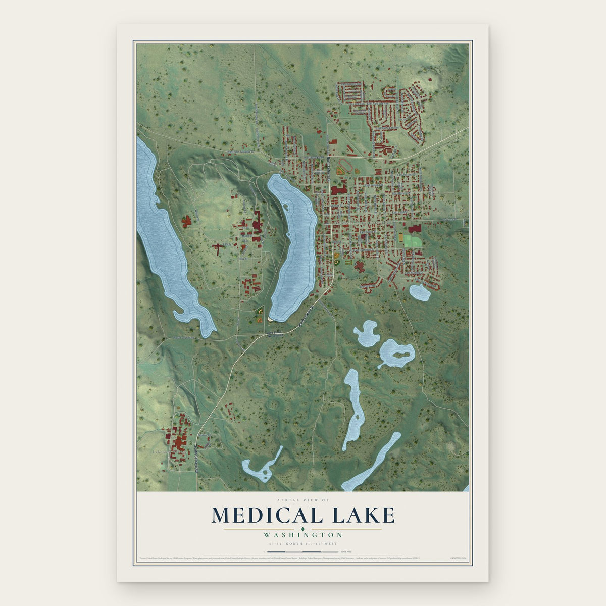
A new map of Medical Lake, Washington, made in 2026 and printed to order on thick archival matte paper.
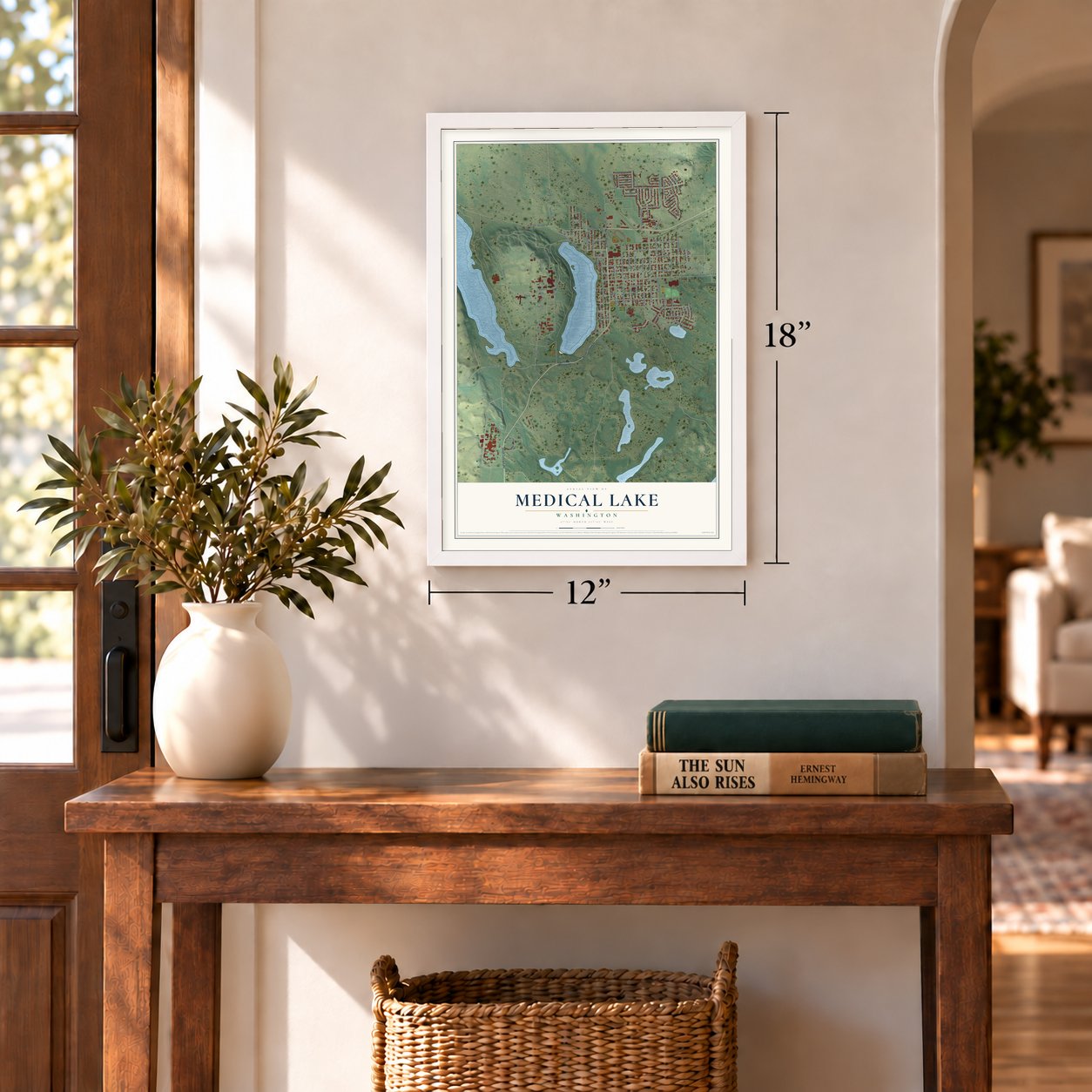
12" x 18" Archival Matte Print
A Map of Home. A Work of Art.
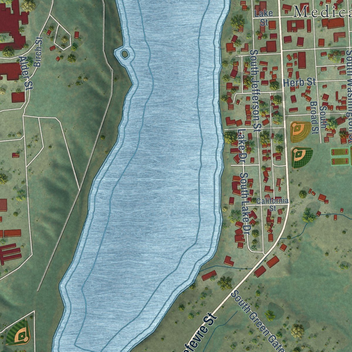
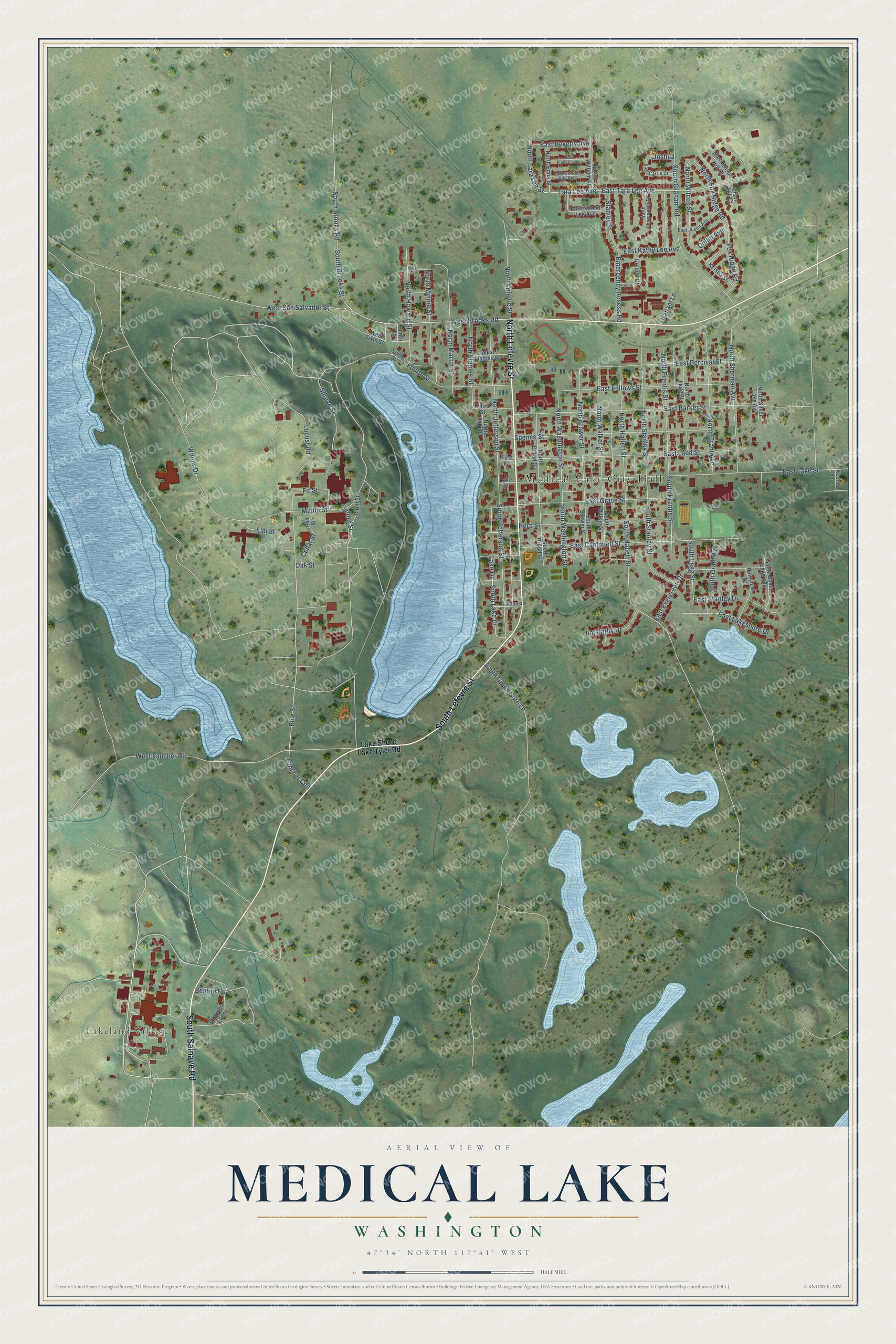
Explore Medical Lake, Washington from a whole new perspective. Created using aerial imagery and detailed geographic data, this map captures Medical Lake building by building, with labeled streets, familiar landmarks, and shaded topographical relief that highlights the natural contours of the landscape.
Combining modern data with the timeless character of a vintage atlas, this map is just as interesting up close as it is beautiful on the wall. Whether you grew up in Medical Lake, spent memorable years there, or call it home today, this unique map is a great way to celebrate a place that means something to you. Zoom in on the preview to look for your street, and then order a print to put your memories on the wall.
Three ways to hang it
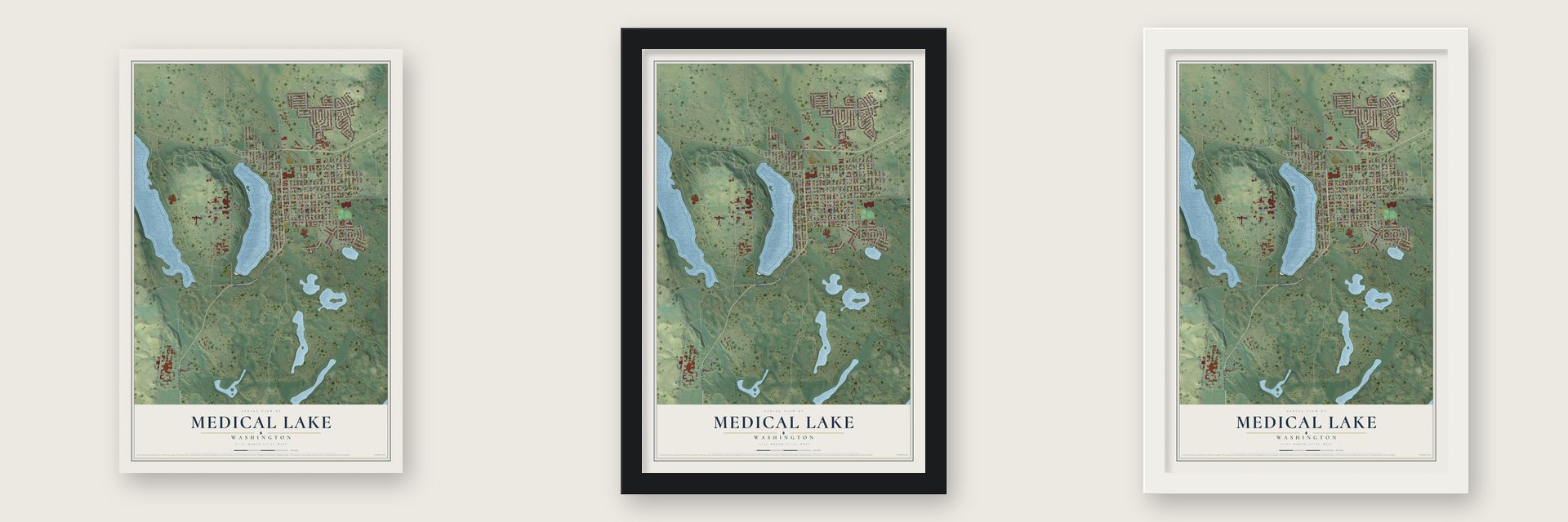
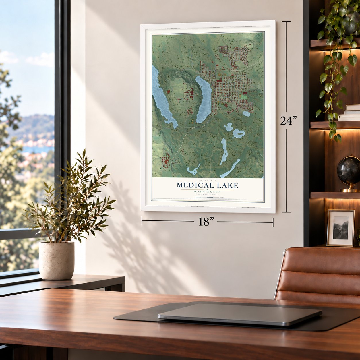
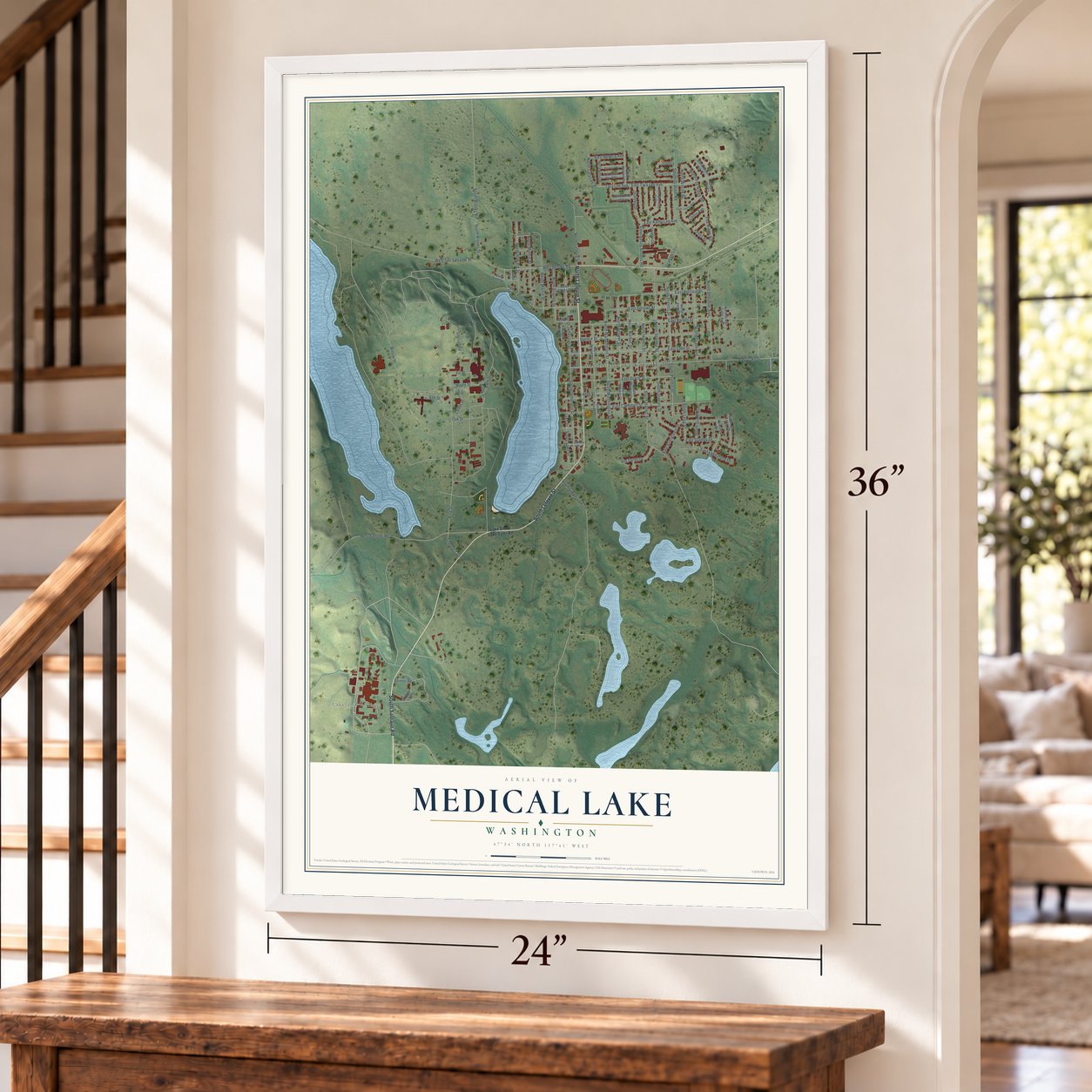
Unframed archival matte, a black wood frame or a white wood frame.
Up close
Geography Worth Displaying
This map was created using accurate cartographic data and authoritative geographic sources, including the U.S. Geological Survey and the Census Bureau. The map brings together terrain, waterways, roads, and building detail. The majority of the streets are labeled, houses are accurately depicted, and the topography is derived from government sources. Combining local data with carefully composed color and shading leads to this beautifully detailed Medical Lake artwork for your wall.
Rather than simply showing street outlines, we’ve included as many of the street names as we could reasonably fit on the map while keeping their names legible. Zoom in on the high resolution preview to see exactly what’s on the map. We truly set out to create a statement piece for anyone who loves Medical Lake. So whether it’s for you, or a gift for someone you love, we hope this map of Medical Lake brings back fond memories.
Read the story behind this map of Medical Lake, Washington from 2026.

About Medical Lake, Washington
Medical Lake is a city of 4,874 people about 15 miles southwest of Spokane, in Spokane County, and it takes its name from the lake on its shore. For thousands of years the Spokane Tribe and neighboring tribes brought their sick here, trusting the water, mud and salts to heal them, and one report says they called it Skookum Limechin Chuch, or "strong medicine water." In 1872 Andrew Lefevre and his nephew Peter drove 500 sheep north from Walla Walla and reached the shore on June 15. A wash in the lake cured the flock of scab, and Andrew said a bath there nearly cured his own rheumatism.
Word spread, and by 1879 visitors were filling new hotels and bathhouses along the shore. The settlement had about 100 people in 1882, and by 1889 it held 12 general stores, four saloons and eleven hotels and boarding houses. Residents formed a township run by trustees in December 1888, then voted on June 7, 1890, to become a fourth-class city. An electric interurban line from Spokane opened in 1905 and carried thousands of bathers on hot summer days, but by 1920 people had stopped believing in the cure, and the resort trade faded.
- Founders Day on June 15Every June 15 the town holds its Founders Day Parade, an all-day celebration of its founding. It falls on the same date the Lefevres and their sheep arrived at the lake in 1872. Andrew Lefevre's homestead grew into the center of the settlement, even though local tribes had warned him the water was poisonous to keep him away.
- Lord Hallett's castleStanley Hallett, an Englishman who gave up the title Lord when he came to America, settled here in 1877. He boiled lake water to sell its salts as a cure, made Medical Lake Soap, owned over a quarter of the early town and became its first mayor. In 1900 he built Hallett House, with brick walls two to four feet thick, towers, a ballroom and stained glass. It joined the National Register in 1976.
- Eastern State Hospital, 1891In 1886 the territorial legislature decided to build an asylum for eastern Washington, because the only one, at Fort Steilacoom, was overcrowded. Few eastern towns wanted it, but Hallett and Andrew Lefevre invited the site commission over from Spokane and offered 80 acres. The brick hospital was completed in 1891 on a hilltop facing the business district from the far side of the lake, and it is still one of the town's major employers.
- The Battle of Four LakesPioneers called this area the Four Lakes country, and a famous battle was fought not far from today's streets. Troops under Col. George Wright, carrying new and accurate rifles, routed the tribal fighters there. It was the turning point of the region's 1855-1858 Indian Wars, and four days later the tribes were defeated for good at the Battle of Spokane Plains.
- Fairchild and the Nike siteAfter years of slow times, the building of Fairchild Air Force Base just north of town during World War II brought a wave of new residents in the 1940s. In 1957 the U.S. Army set up a Nike missile site nearby, called F-45. It closed in 1966, and the land later became a neighborhood of homes.
Find your street
Names on the Medical Lake map
Every name below is printed on this map. Look for your street, your school, the park where you played, or the pond down the road.
Places and landmarks2
- Medical Lake City Hall
- Lakeland Village
Streets and roads106
- North Lefevre Street
- South Salnave Road
- South Lefevre Street
- West Brooks Road
- Benton Road
- West San Salvador Street
- Pine Street
- North Tara Lee Street
- Fancher Con
- East Tara Lee Avenue
- South Hallett Street
- North Wilcox Street
- North Fox Ridge Road
- North Stanley Street
- North Washington Street
- North Brower Street
- East Lake Street
- Maple Street
- East Barker Street
- South Graham Road
- East Ladd Street
- East Campbell Street
- West Fancher Road
- Spence Street
- North Prentis Street
- Tara Lee Avenue
- East Grace Street
- East Fellows Street
- North Jefferson Street
- South Brooks Road
Show all 106 streets
- South Brooks Street
- Willow Drive
- South Jefferson Street
- East Percival Street
- Herb Street
- North Sherman Avenue
- North Martin Street
- East Evergreen Drive
- Spruce Street
- North Grant Avenue
- South Stanley Street
- North Howard Street
- North Minnie Street
- Locust Road
- North Walker Street
- North Hallett Street
- Fourth Street
- Lake Drive
- South Green Gate Lane
- East Lakeshore Drive
- North Staples Street
- East Stanley Drive
- South Washington Street
- South Prentis Street
- South Lake Drive
- Fox Ridge Road
- Elm Street
- Emergency Access Road
- Jim Darby Drive
- East Kathy Lee Avenue
- Stanley Street
- East Beverly Avenue
- South Grant Avenue
- South Legg Street
- Alder Street
- Oak Street
- Collin Avenue
- Cedar Street
- Fir Street
- Graham Lane
- Joshua
- Lake Shore Lake Tyler Road
- Lake Street
- Simpson Loop
- South Brower Street
- South Broad Street
- North Legg Street
- North Broad Street
- South Silver Lake Avenue
- South Walker Street
- Pineview Drive
- North William Street
- Golden Court
- Birch Street
- North Edna Street
- Third Street
- East Norma Lee Avenue
- West James Street
- North Olson Hill Court
- North Silver Lake Avenue
- Kelsea Street
- North Lake Street
- West Sixth Street
- Sixth Street
- Ash Street
- Keene Lane
- Olson Hill Court
- First Street
- Smith Lane
- North Christopher Street
- East Justin Avenue
- East Carrie Drive
- East Connie Ray Avenue
- California Street
- East Frederick Avenue
- Mary Street
Names are listed as they appear on the printed map. Zoom into the product photos to find them.
The art of mapping a place
How This Map Was Made
Real places. Remarkable detail. Discover the layers that turn geographic data into a map of home.

The view from above
Aerial imagery reveals the character of the land: woodland, open fields, and the patterns of a place.

The shape of the land
Elevation data brings hills, valleys, and subtle changes in the landscape into view.

The details of home
Roads, waterways, and building footprints come together to make the map feel unmistakably local.

Geography becomes art
Considered color, shading, and typography bring the layers together in a map made for your wall.


Process illustrated with Mendon, Massachusetts. Aerial imagery: USDA NAIP. Terrain: USGS 3D Elevation Program. Map details and finished artwork: KNOWOL.
The Details
About This Print
Choose an archival matte print, or a black or white Ayous wood frame. The archival matte print is unframed.
Select your size and finish above to see the matching product image and price.
Materials & Craftsmanship
A contemporary map with the character of a classic atlas, printed on archival matte paper. Optional frames are made from Ayous wood.
Your printed map does not include the watermark shown in the full-map preview.
Shipping & Delivery
Free shipping within the United States. Every print is made to order in the USA.
Buying a gift? Add a note in your cart and we'll include it. We never put prices in the package.
Prints ship within 2 to 3 business days. Allow 7 to 10 days total from ordering for delivery. Timing may vary during holidays or periods of high order volume.
Read our shipping policy.
Returns and damaged prints
Each print is made to order. Change-of-mind refunds are not available after production.
If your print arrives damaged, misprinted or incorrect, contact support@knowol.com within 30 days of receiving it. Include your order number, photos and a description of the issue.
Read our full refund and replacement policy. For questions about your order, email support@knowol.com.
Find your town
Looking for another city?
Find a map of home in our Washington collection, or any town in the country.
Nearby
Maps of towns near Medical Lake
Know someone from one of these towns? Their map makes a great gift.
 Fairchild AFB
, Washington
From $39.99See the map
 Four Lakes
, Washington
From $39.99See the map
 Airway Heights
, Washington
From $39.99See the map
More maps nearby: Cheney, Reardan, Spokane, Town and Country and Spangle.