
Search for another town
Free U.S. delivery 7 to 10 days after you order
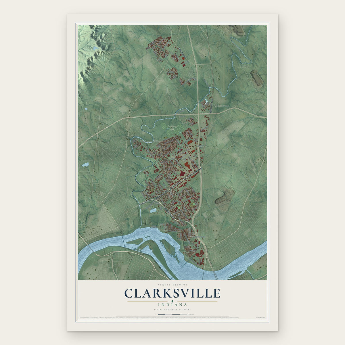
Clarksville, Indiana Map Art
Building by building, with labeled streets and shaded relief.
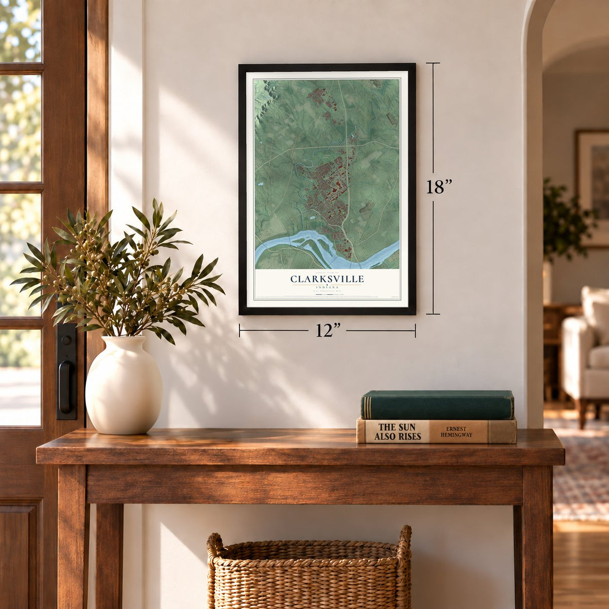
12" x 18" Archival Matte Print
A Map of Home. A Work of Art.
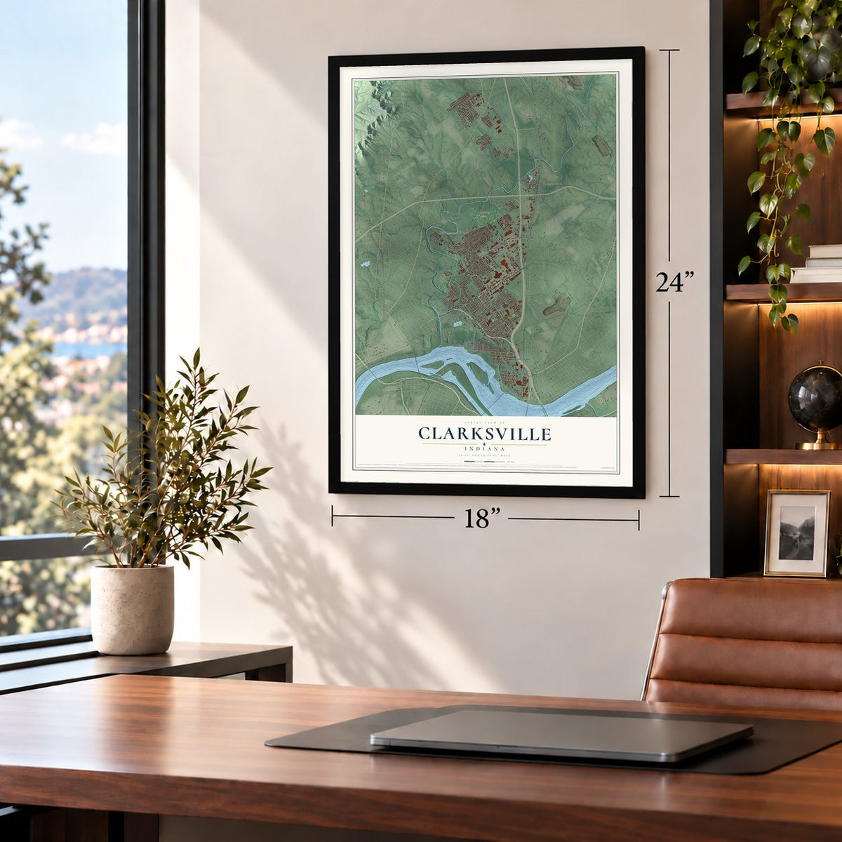
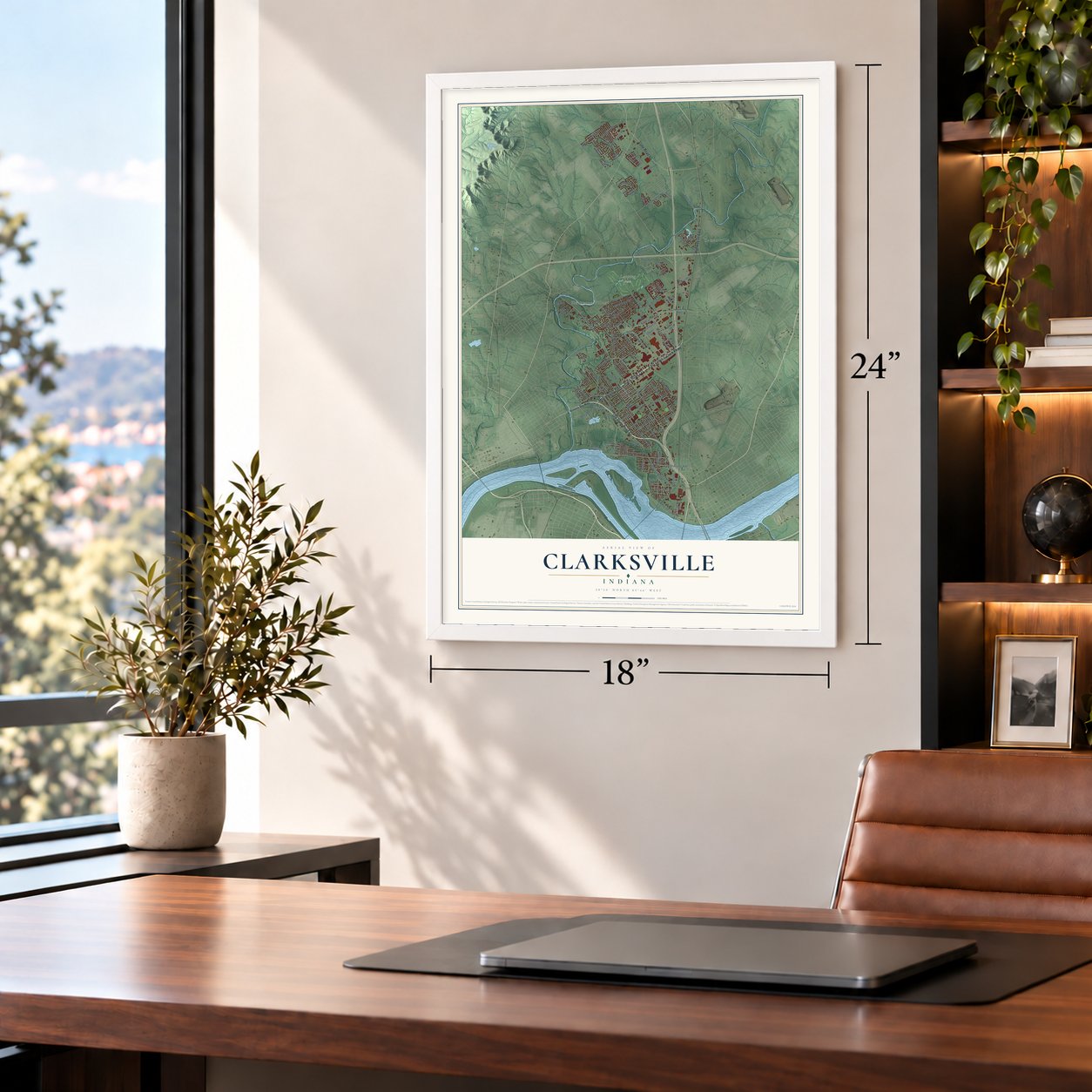
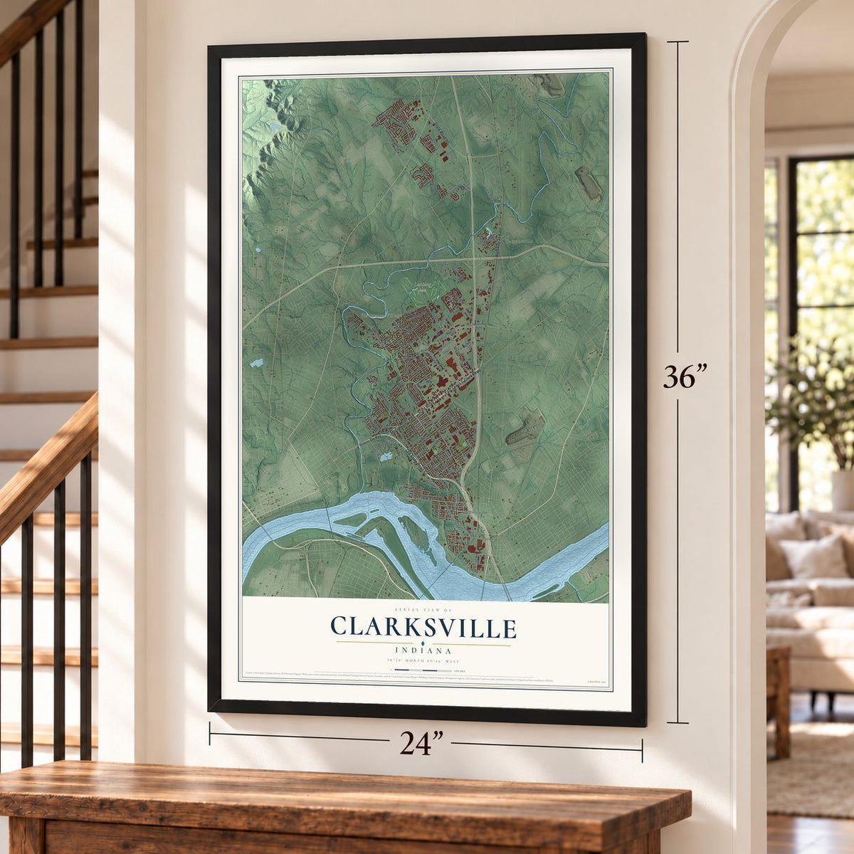
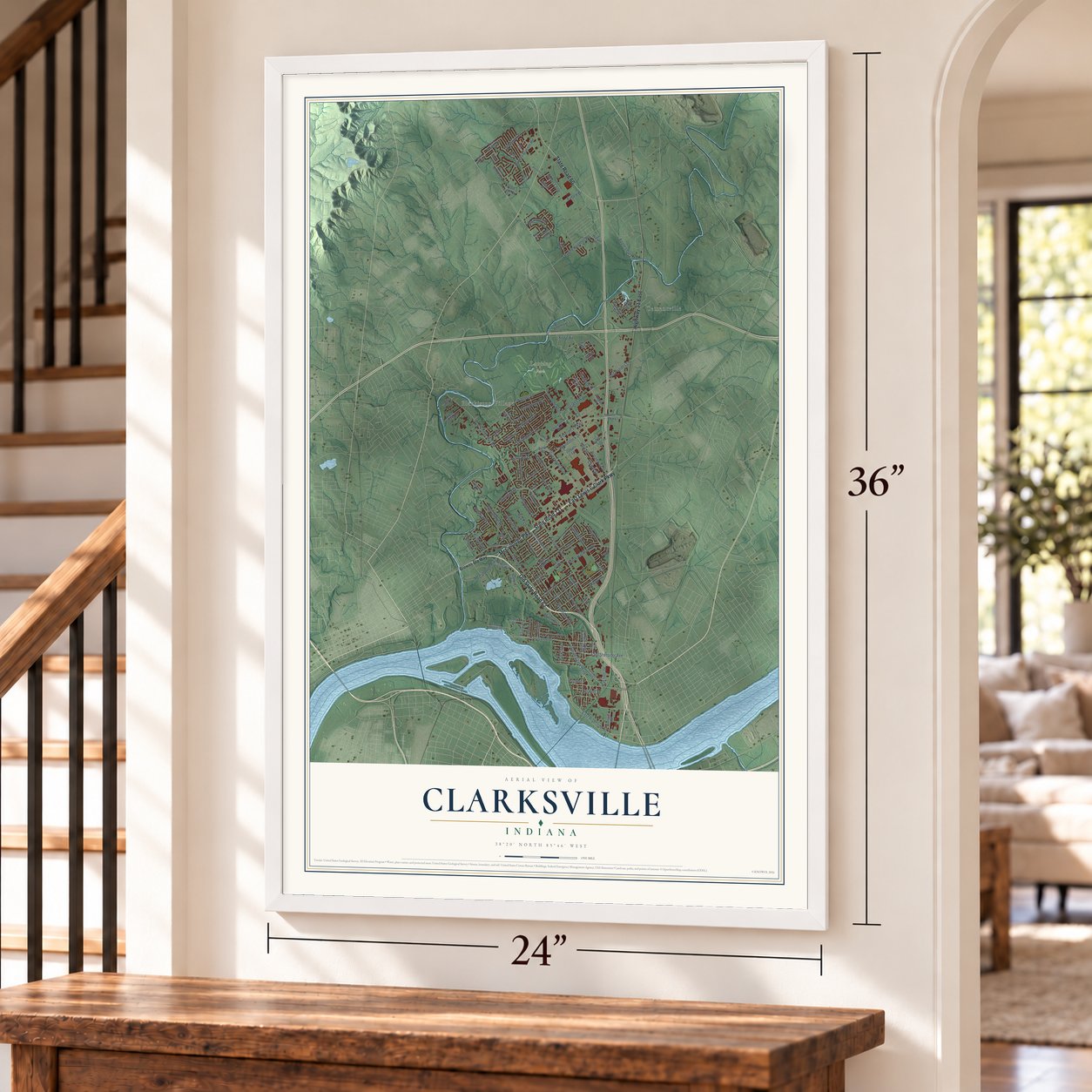
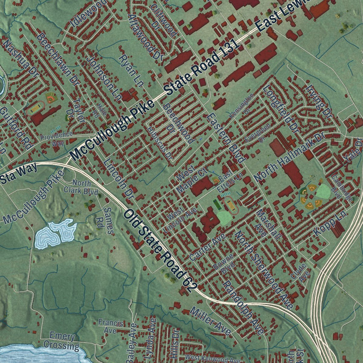
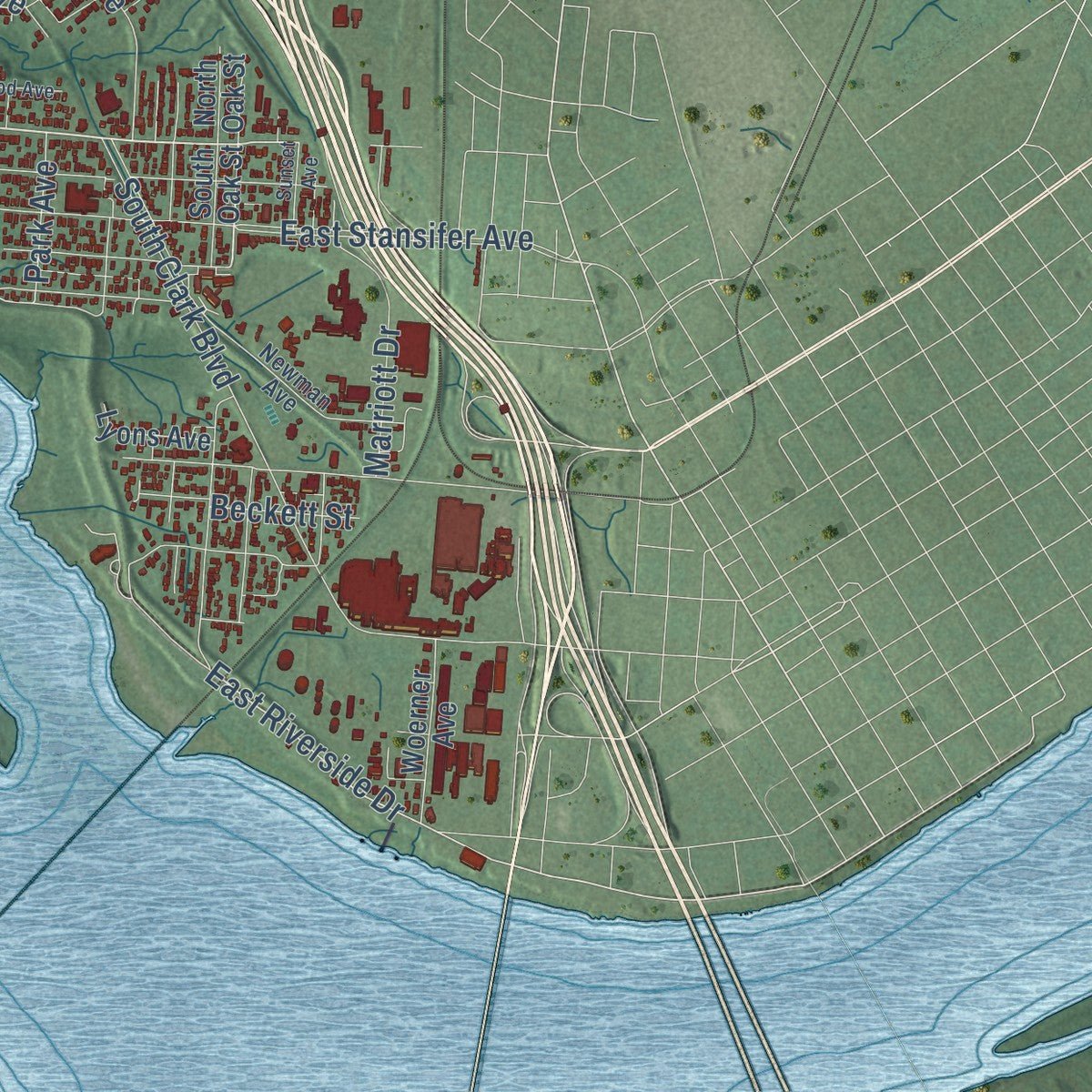
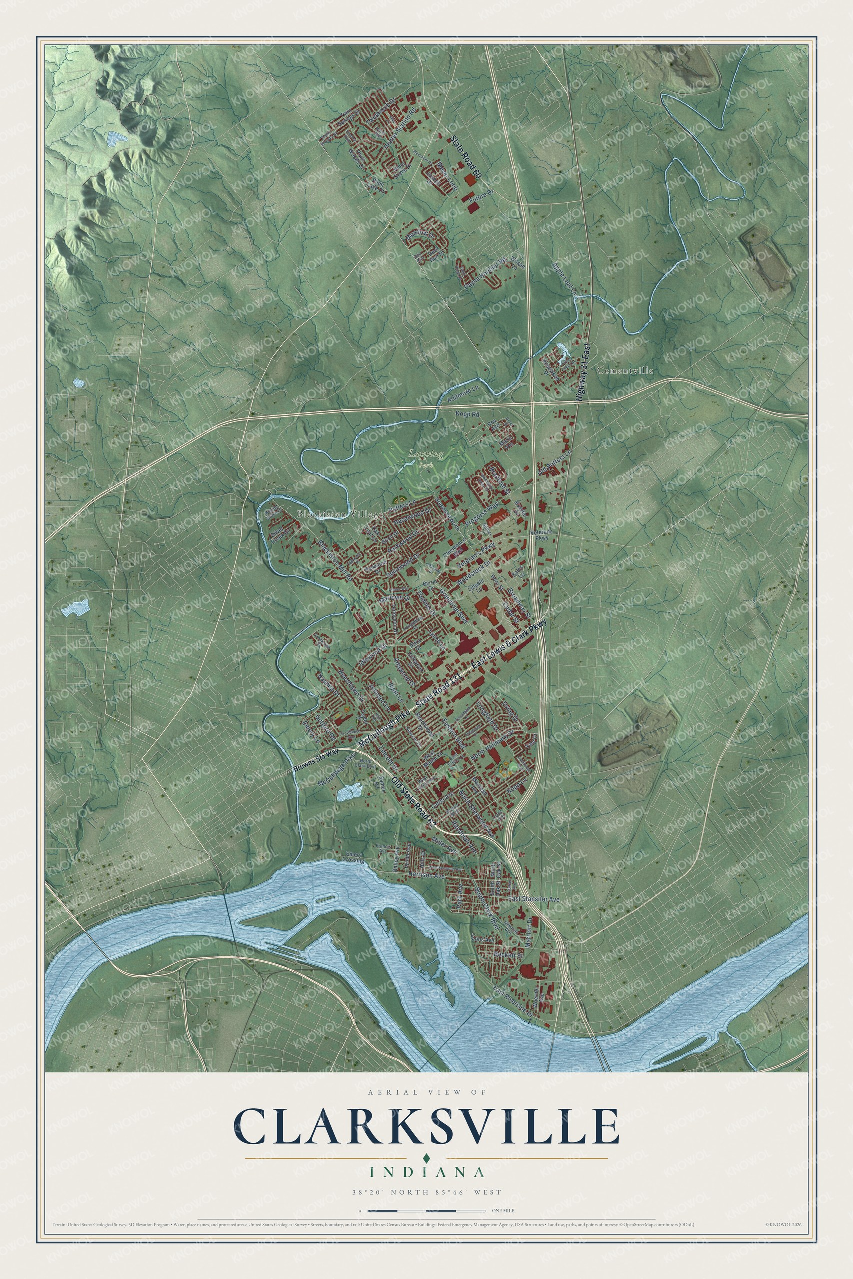
Explore Clarksville, Indiana from a whole new perspective. Created using aerial imagery and detailed geographic data, this map captures Clarksville building by building, with labeled streets, familiar landmarks, and shaded topographical relief that highlights the natural contours of the landscape.
Combining modern data with the timeless character of a vintage atlas, this map is just as interesting up close as it is beautiful on the wall. Whether you grew up in Clarksville, spent memorable years there, or call it home today, this unique map is a great way to celebrate a place that means something to you. Zoom in on the preview to look for your street, and then order a print to put your memories on the wall.
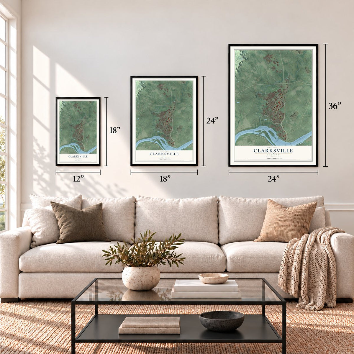
Three ways to hang it
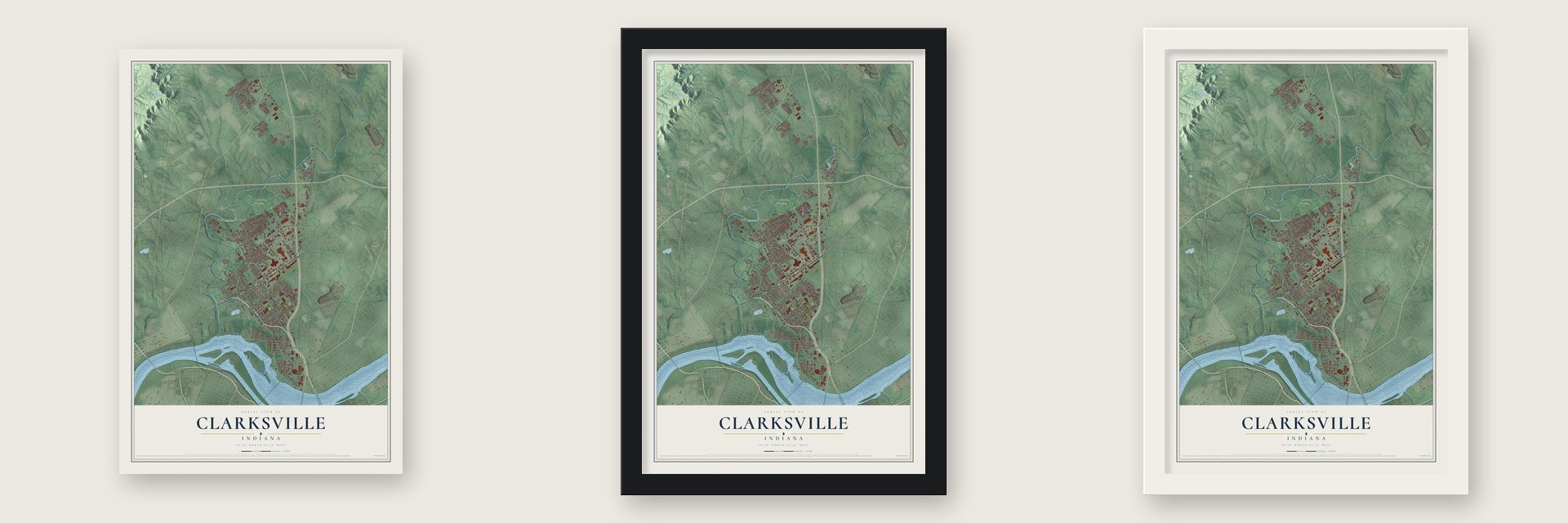
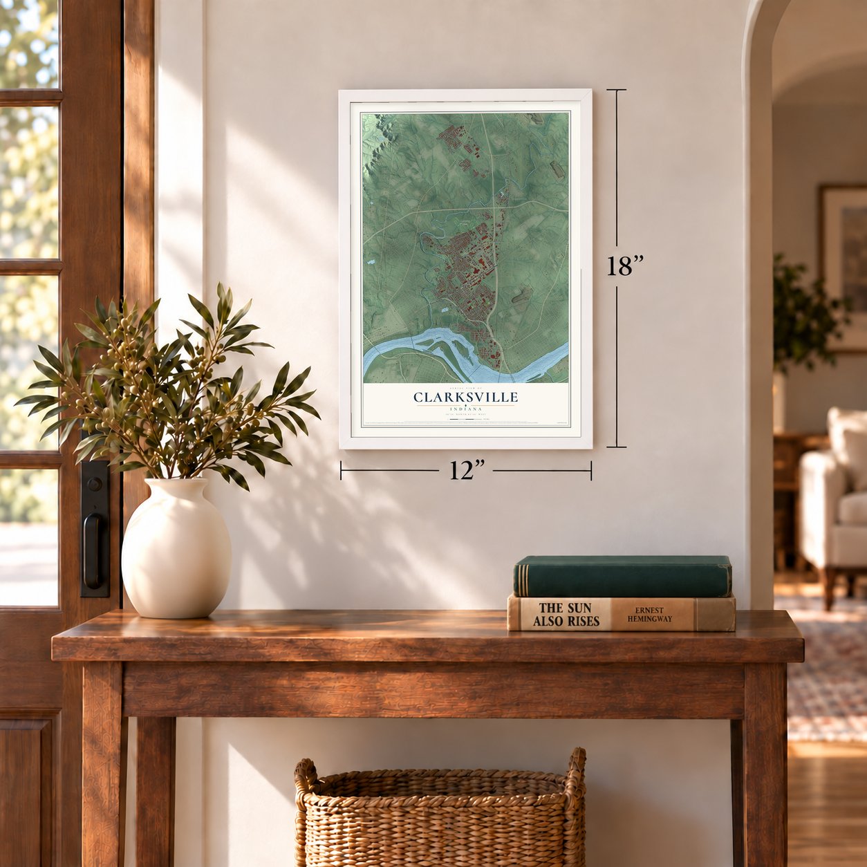
Unframed archival matte, a black wood frame or a white wood frame.
Up close
Geography Worth Displaying
This map was created using accurate cartographic data and authoritative geographic sources, including the U.S. Geological Survey and the Census Bureau. The map brings together terrain, waterways, roads, and building detail. The majority of the streets are labeled, houses are accurately depicted, and the topography is derived from government sources. Combining local data with carefully composed color and shading leads to this beautifully detailed Clarksville artwork for your wall.
Rather than simply showing street outlines, we’ve included as many of the street names as we could reasonably fit on the map while keeping their names legible. Zoom in on the high resolution preview to see exactly what’s on the map. We truly set out to create a statement piece for anyone who loves Clarksville. So whether it’s for you, or a gift for someone you love, we hope this map of Clarksville brings back fond memories.
Read the story behind this map of Clarksville, Indiana from 2026.

Find your street
Names on the Clarksville map
Every name below is printed on this map. Look for your street, your school, the park where you played, or the pond down the road.
Places and landmarks3
- Blackiston Village
- Lapping Park
- Cementville
Streets and roads128
- Old State Road 62
- State Road 131
- East Lewis & Clark Parkway
- McCullough Pike
- State Road 60
- Highway 31 East
- Veteran's Parkway
- Harrison Avenue
- Woodstock Drive
- Greentree Boulevard
- East Riverside Drive
- Blackiston Mill Road
- South Clark Boulevard
- Progress Way
- Addmore Lane
- Eastern Boulevard
- Randolph Avenue
- Spicewood Drive
- Potters Lane
- Apple Leaf Lane
- Kopp Lane
- Parkwood Drive
- Gutford Road
- Lynch Lane
- East Stansifer Avenue
- Broadway Street
- Thames Drive
- Marlowe Drive
- North Sherwood Avenue
- Cedar Street
Show all 128 streets
- North Hallmark Drive
- Irving Drive
- Altawood Drive
- Beechlawn Drive
- Longfield Drive
- Meyer Loop
- Hunter Station Road
- Old Potters Lane
- Idlewood Drive
- Marriott Drive
- Payne Koehler Road
- Lincoln Drive
- Johnson Lane
- Twinbrook Drive
- Hazelwood Drive
- Nashua Drive
- Kopp Road
- Emery Lane
- Meadow Drive
- Future Drive
- Miller Avenue
- Bradford Street
- Ryan Lane
- Park Avenue
- Beckett Street
- Browns Sta Way
- Clevidence Boulevard
- Bailey Avenue
- Greentree North
- Beechwood Drive
- Veterans Parkway
- Emery Crossing
- Plum Creek Drive
- Redwood Drive
- Tennyson Drive
- Taylor Drive
- Lincoln Lane
- Rosewood Drive
- Birch Drive
- Plum Woods Drive
- Deer Run Drive
- Horn Street
- Cliftwood Drive
- Joseph Drive
- Carter Avenue
- Altra Drive
- Twin Springs Drive
- Woerner Avenue
- Silver Creek Drive
- Yale Drive
- Byron Drive
- Marshall Avenue
- Lynda Avenue
- Plum Lake Court
- Koetter Drive
- Lyons Avenue
- Hills Drive
- South Oak Street
- Oak Leaf Lane
- Sames Road
- West Maple Court
- Wilson Lane
- Marie Avenue
- North Oak Street
- Roy Avenue
- Bales Lane
- Hibiscus Drive
- North Clark Boulevard
- Francis Avenue
- Newman Avenue
- Longfellow Drive
- Giltner Lane
- Bowne Boulevard
- Dovir Woods Drive
- West Lincoln Avenue
- Plum Run
- Creekside Drive
- East Ettels Lane
- Doe Run
- Walnut Grove Drive
- Clyde Avenue
- Lombardy Drive
- Wellington Green Drive
- West Kenwood Avenue
- Providence Way
- Evergreen Drive
- Silver Lakes Drive
- Kensington Drive
- Westmont Drive
- Villa Circle
- Kilmer Way
- Hale Road
- Eagle Ridge Drive
- Cambridge Boulevard
- Sunset Avenue
- Shadow Point
- Millwood Place
- Grant Street
Names are listed as they appear on the printed map. Zoom into the product photos to find them.
About Clarksville, Indiana
Clarksville is a town of 22,333 people in Clark County, on the Ohio River across from Louisville. During the Revolutionary War, George Rogers Clark set up a post in 1778 on an island at the upper end of the Falls of the Ohio, and he trained his 175-man regiment there. After the war he was granted 150,000 acres for his service, and in 1783, 1,000 acres of that land were set aside for a town. Settlers built a stockade that same year, so Clarksville is the oldest American town in what had been the Northwest Territory.
The town's future depended on a canal around the falls, which made river travel hard. The Indiana Territorial Legislature approved one on August 24, 1805, but that first effort failed and its investors lost their money. Historians believe the money helped pay for Aaron Burr's conspiracy. Builders tried again in 1817 and in 1820, but in 1826 the federal government made a large grant for the Louisville and Portland Canal instead. With no canal and with frequent floods, Clarksville grew slowly for the rest of the century.
“Near this site on October 26, 1803, Meriwether Lewis and William Clark with the nucleus of the Corps of Discovery together set off down the Ohio River on their epic journey to explore the Louisiana Purchase and Pacific Northwest.”
- Where Lewis met ClarkThe explorer William Clark was George Rogers Clark's younger brother. In Undaunted Courage, historian Stephen Ambrose wrote that the expedition began when Clark and Meriwether Lewis shook hands at Clarksville. A statue of the two men stands near the falls, though other places, St. Louis above all, also claim to be the starting point.
- A dueling ground for KentuckiansKentucky outlawed dueling, so Kentuckians crossed the river to settle their quarrels in Clarksville. The most famous of these fights came in 1809, when Henry Clay faced Humphrey Marshall there.
- Under water in 1937The Great Flood of 1937 covered the whole town, with water up to 12 feet deep in places, for more than three weeks in January and February. Almost all of the old town was destroyed, and Clarksville was rebuilt on a new, modern plan. After World War II, new homes and jobs brought rapid growth, from 2,400 people in 1940 to 22,000 in 2000.
- Fossils 386 million years oldClarksville holds the largest exposed Devonian fossil beds, the remains of plants and sea life from an ancient coral reef. Those beds now belong to the state park at the Falls of the Ohio, and the state built an education center beside them. John James Audubon made many of his bird sketches at the falls.
- The Colgate clockThe giant clock at the former Colgate-Palmolive plant near the river is called the 7th largest in the world, and it can be seen from downtown Louisville. Colgate closed the plant in early 2008, and the town vowed to keep the clock where it is.
Keep exploring Indiana
Clarksville is one of 1,023 Indiana towns we've mapped. Every dot on the map is a print of its own.
The search covers every state, Indiana first.
Near Clarksville
Order 2 or more town maps and save 10%. Shown in the size and finish you picked above, so they hang as a set.
- New Albany 12" x 18" / Archival Matte Print $39.99
- Jeffersonville 12" x 18" / Archival Matte Print $39.99
- Sellersburg 12" x 18" / Archival Matte Print $39.99
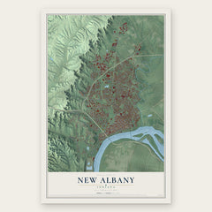
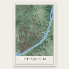
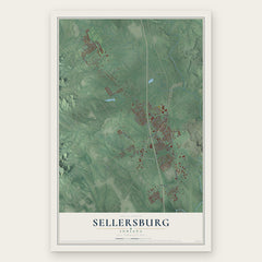
More maps nearby: Utica, Floyds Knobs, Charlestown, Galena and Georgetown.
The art of mapping a place
How This Map Was Made
Real places. Remarkable detail. Discover the layers that turn geographic data into a map of home.

The view from above
Aerial imagery reveals the character of the land: woodland, open fields, and the patterns of a place.

The shape of the land
Elevation data brings hills, valleys, and subtle changes in the landscape into view.

The details of home
Roads, waterways, and building footprints come together to make the map feel unmistakably local.

Geography becomes art
Considered color, shading, and typography bring the layers together in a map made for your wall.


Process illustrated with Mendon, Massachusetts. Aerial imagery: USDA NAIP. Terrain: USGS 3D Elevation Program. Map details and finished artwork: KNOWOL.
The Details
About This Print
Choose an archival matte print, or a black or white Ayous wood frame. The archival matte print is unframed.
Select your size and finish above to see the matching product image and price.
Materials & Craftsmanship
A contemporary map with the character of a classic atlas, printed on archival matte paper. Optional frames are made from Ayous wood.
Your printed map does not include the watermark shown in the full-map preview.
Shipping & Delivery
Free shipping within the United States. Every print is made to order in the USA.
Buying a gift? Add a note in your cart and we'll include it. We never put prices in the package.
Prints ship within 2 to 3 business days. Allow 7 to 10 days total from ordering for delivery. Timing may vary during holidays or periods of high order volume.
Read our shipping policy.
Returns and damaged prints
Each print is made to order. Change-of-mind refunds are not available after production.
If your print arrives damaged, misprinted or incorrect, contact support@knowol.com within 30 days of receiving it. Include your order number, photos and a description of the issue.
Read our full refund and replacement policy. For questions about your order, email support@knowol.com.