
Search for another town
Free U.S. delivery 7 to 10 days after you order
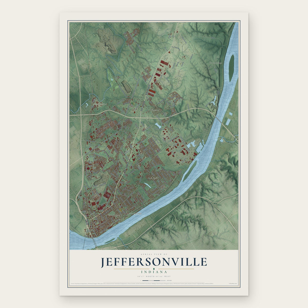
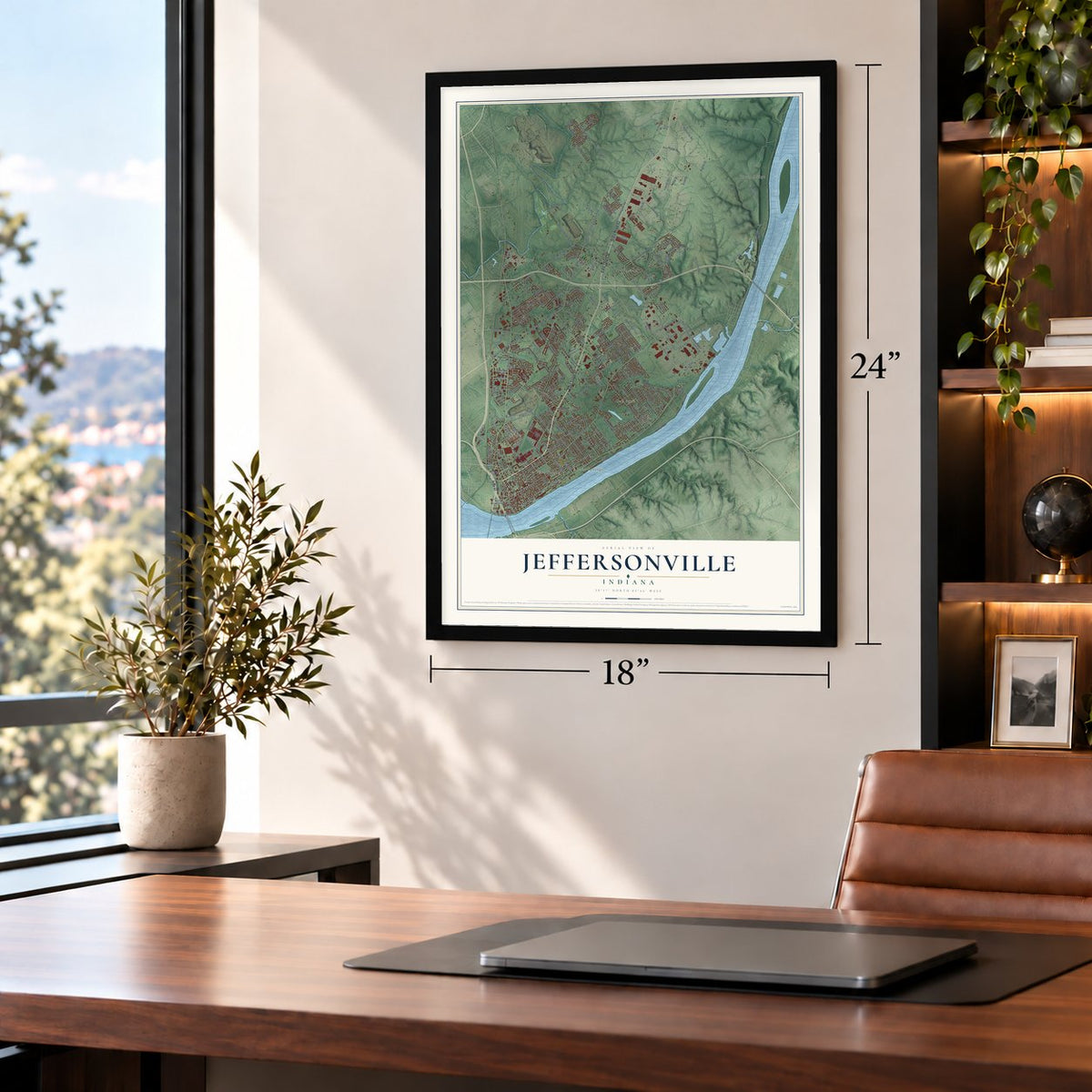
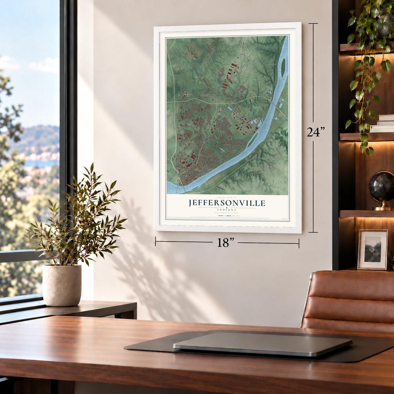
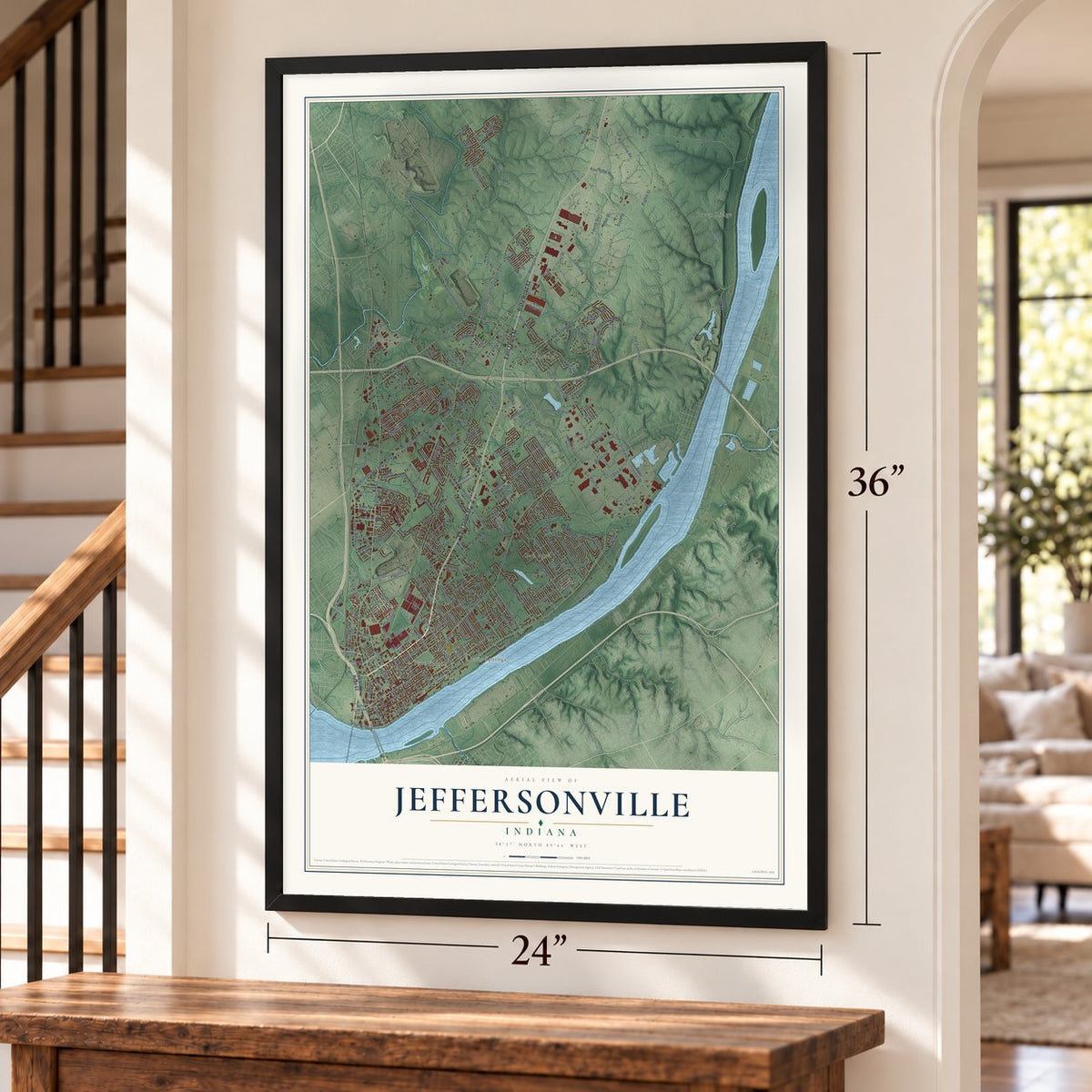
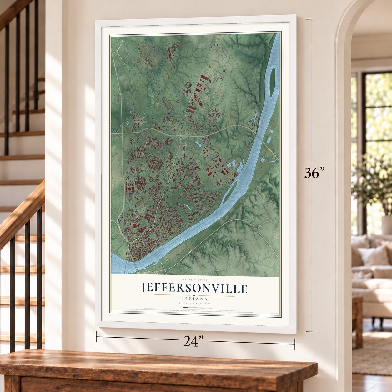
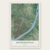
Jeffersonville, Indiana Map Art
Building by building, with labeled streets and shaded relief.
12" x 18" Archival Matte Print
A Map of Home. A Work of Art.
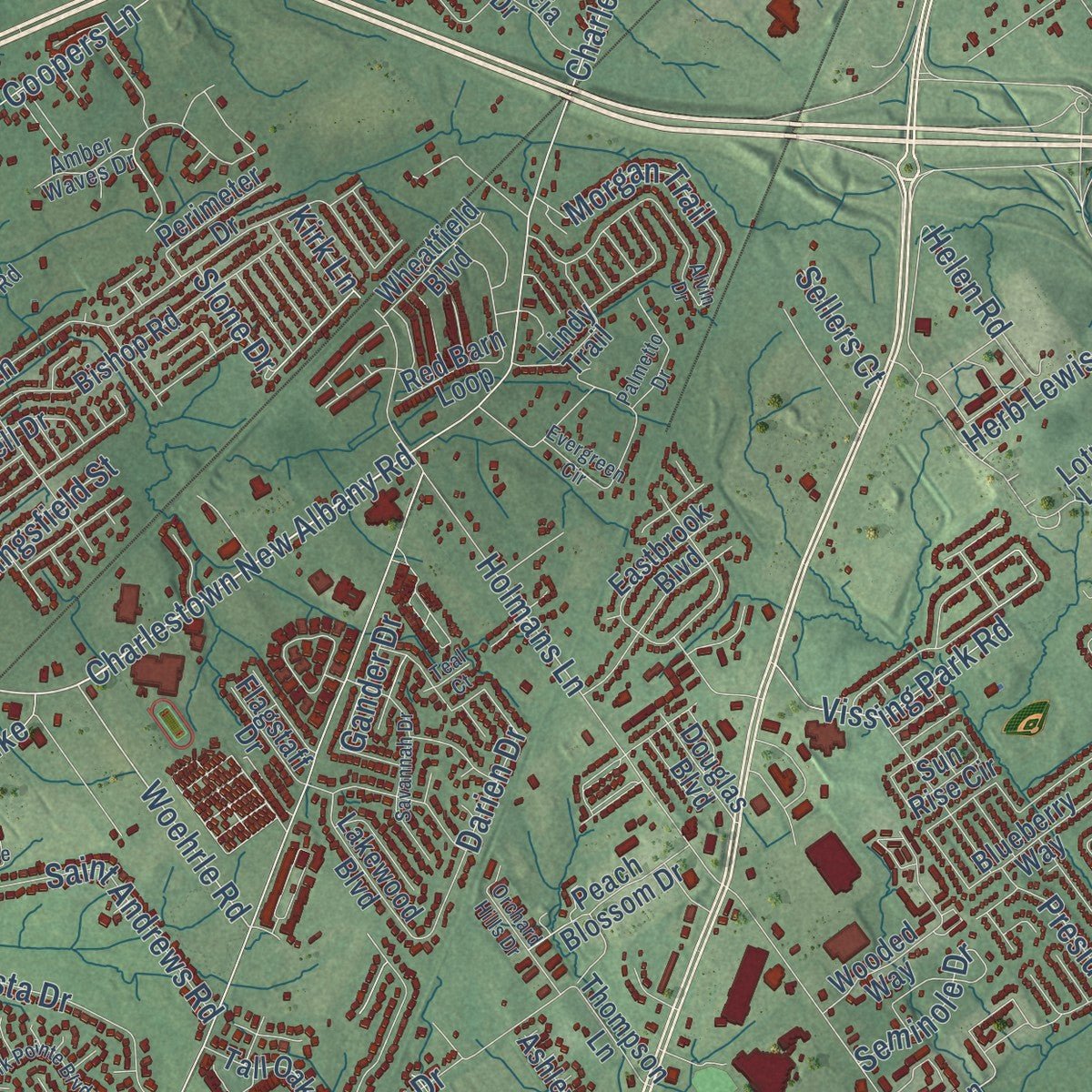
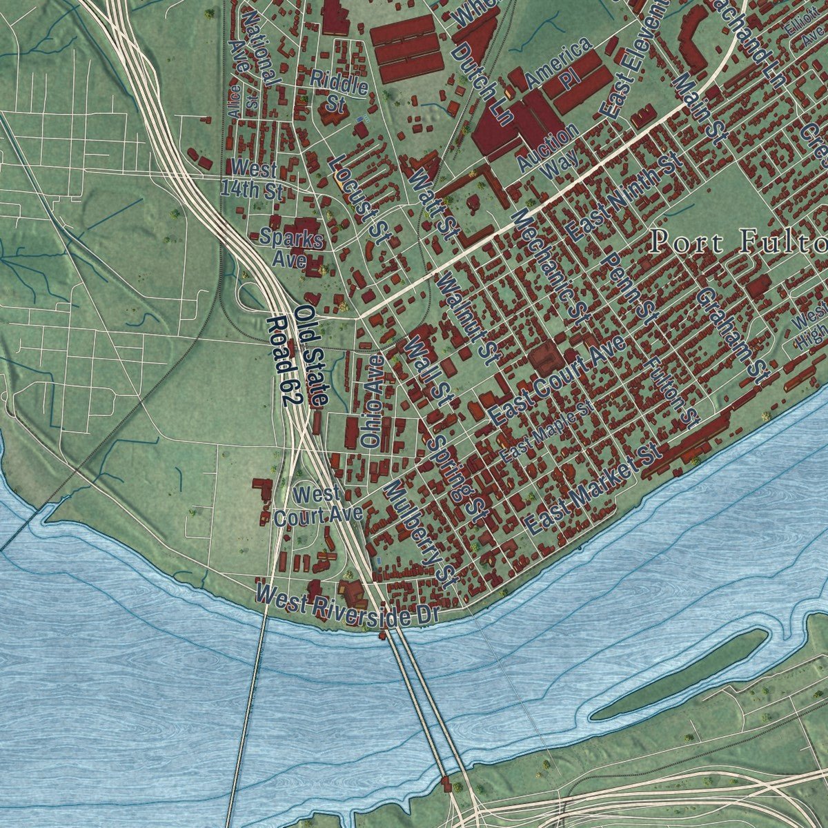
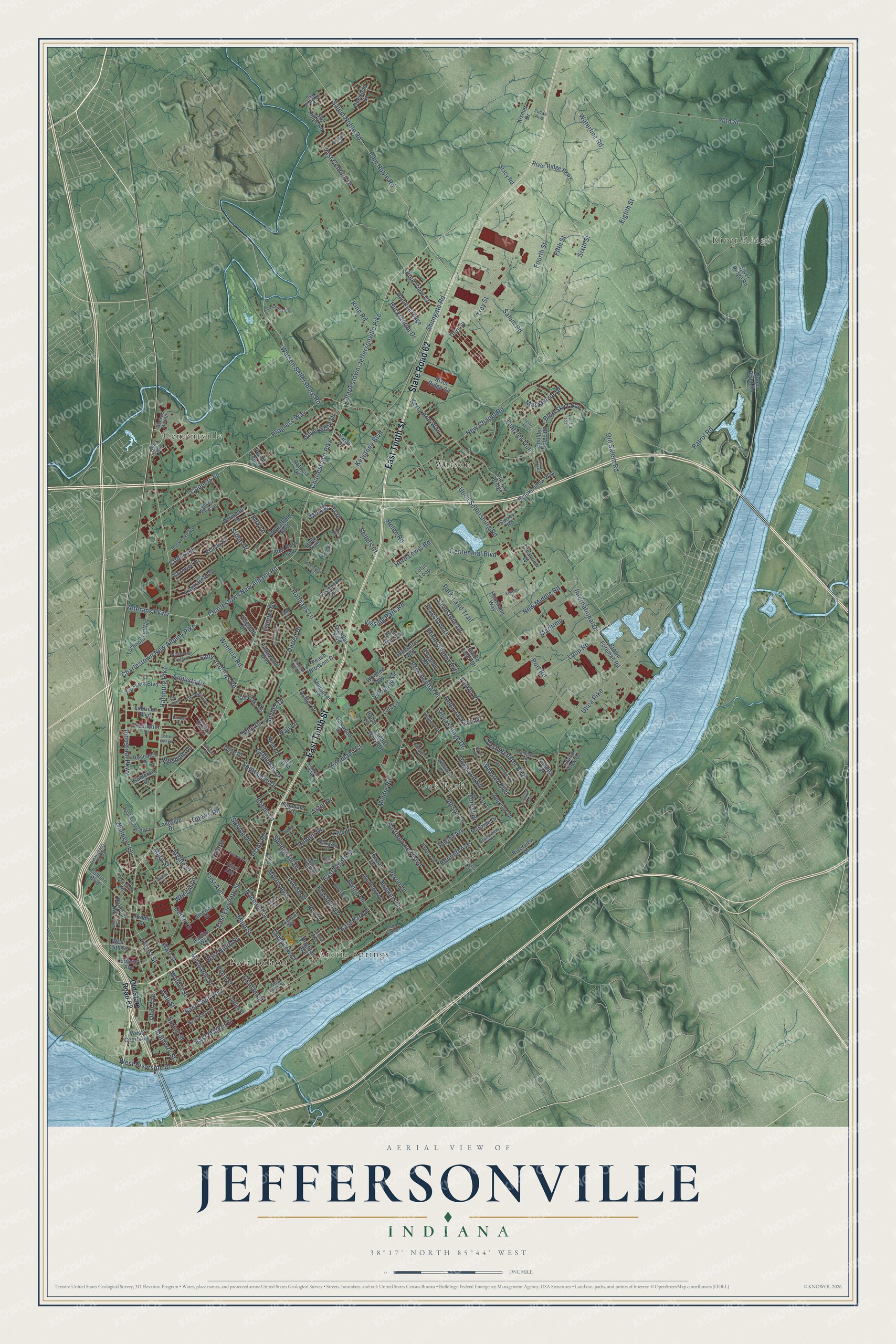
Explore Jeffersonville, Indiana from a whole new perspective. Created using aerial imagery and detailed geographic data, this map captures Jeffersonville building by building, with labeled streets, familiar landmarks, and shaded topographical relief that highlights the natural contours of the landscape.
Combining modern data with the timeless character of a vintage atlas, this map is just as interesting up close as it is beautiful on the wall. Whether you grew up in Jeffersonville, spent memorable years there, or call it home today, this unique map is a great way to celebrate a place that means something to you. Zoom in on the preview to look for your street, and then order a print to put your memories on the wall.
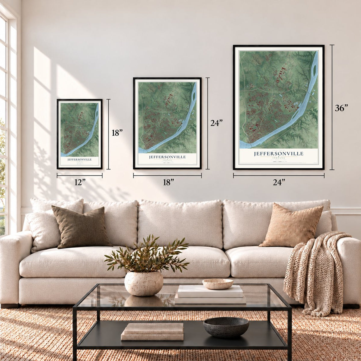
Three ways to hang it
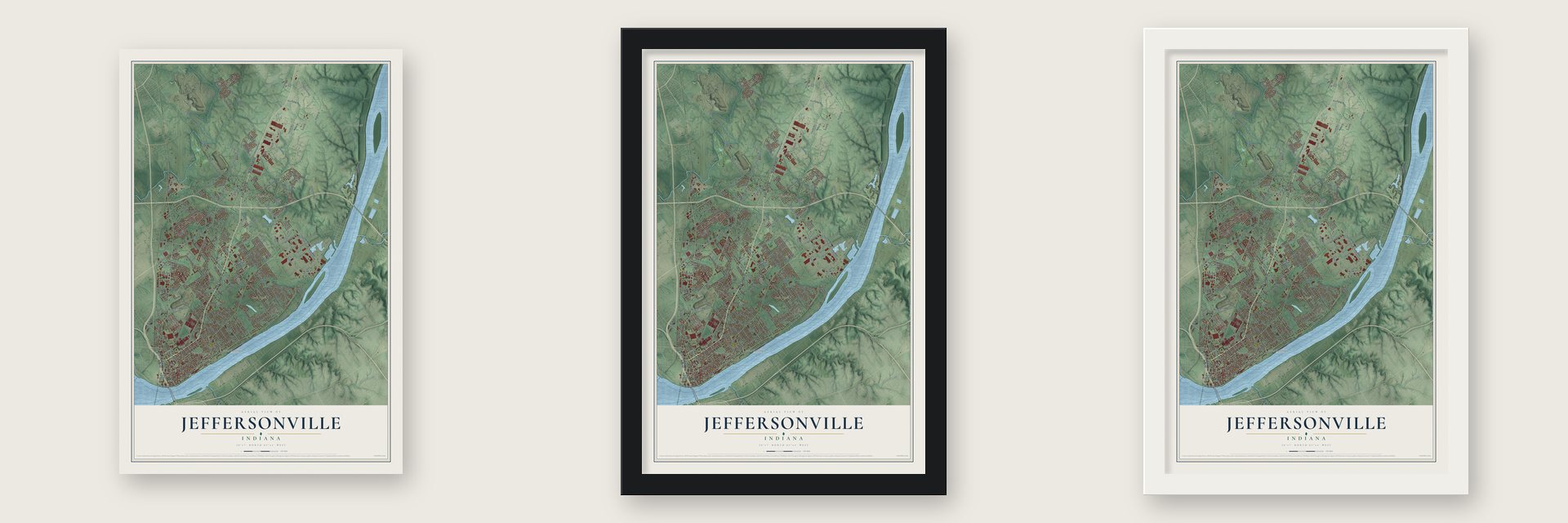
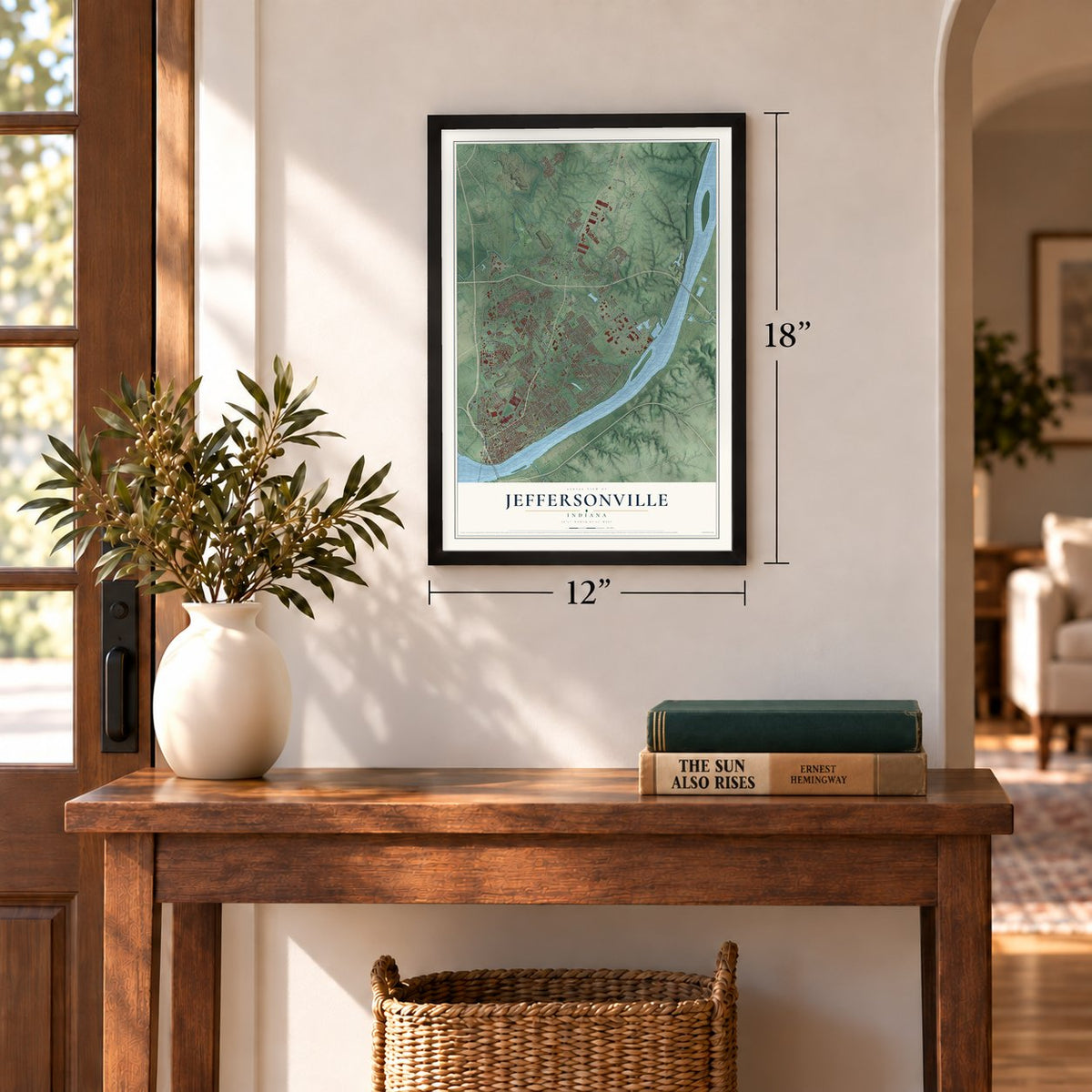
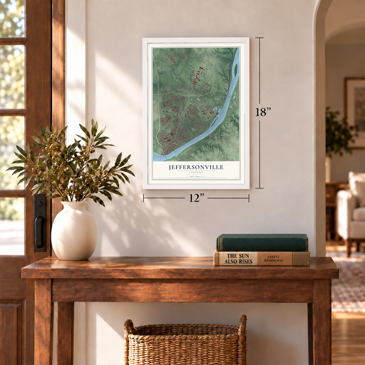
Unframed archival matte, a black wood frame or a white wood frame.
Up close
Geography Worth Displaying
This map was created using accurate cartographic data and authoritative geographic sources, including the U.S. Geological Survey and the Census Bureau. The map brings together terrain, waterways, roads, and building detail. The majority of the streets are labeled, houses are accurately depicted, and the topography is derived from government sources. Combining local data with carefully composed color and shading leads to this beautifully detailed Jeffersonville artwork for your wall.
Rather than simply showing street outlines, we’ve included as many of the street names as we could reasonably fit on the map while keeping their names legible. Zoom in on the high resolution preview to see exactly what’s on the map. We truly set out to create a statement piece for anyone who loves Jeffersonville. So whether it’s for you, or a gift for someone you love, we hope this map of Jeffersonville brings back fond memories.
Read the story behind this map of Jeffersonville, Indiana from 2026.
Find your street
Names on the Jeffersonville map
Every name below is printed on this map. Look for your street, your school, the park where you played, or the pond down the road.
Places and landmarks6
- Arctic Springs
- Cementville
- Oak Park
- Port Fulton
- River Ridge
- Watson
Streets and roads254
- East Tenth Street
- State Road 62
- Hamburg Pike
- Salem Road
- Charlestown New Albany Pike
- Charlestown New Albany Road
- Veterans Parkway
- Louise Street
- Fifth Street
- West Riverside Drive
- Charlestown Pike
- Sixth Street
- Spring Street
- John Noble Road
- Charlestown-Jeffersonville Pike
- Utica Sellersburg Road
- Dutch Lane
- Woehrle Road
- Nachand Lane
- Old Salem Road
- Slone Drive
- Patrol Road
- Utica Pike
- Coopers Lane
- Waterline Road
- Middle Road
- Eighth Street
- Port Road
- New Chapel Road
- East Eighth Street
Show all 254 streets
- Allison Lane
- Progress Way
- Trey Street
- Forest Drive
- Park-Land Trail
- Sandstone Drive
- East Court Avenue
- King Road
- Shungate Road
- East Ninth Street
- East Market Street
- Locust Street
- International Drive
- Salem Noble Road
- Wall Street
- Watson Sellersburg Road
- East Park Place
- Industrial Parkway
- Webster Boulevard
- 20th Street
- Sportsman Drive
- Centennial Boulevard
- Holmans Lane
- East Eleventh Street
- Lentzier Trce
- Crums Lane
- Walnut Street
- Watt Street
- Fourth Street
- Main Street
- Loop Road
- Herb Lewis Road
- 21st Century Drive
- Mechanic Street
- Woodland Court
- Nole Drive
- Saint Andrews Road
- Penn Street
- Perrin Lane
- Plank Road
- Ridgeway Drive
- Jonquil Drive
- Hopkins Lane
- First Avenue
- Helen Road
- Augusta Drive
- New Middle Road
- Springdale Drive
- Ewing Lane
- Parker Place
- Pennsylvania Avenue
- Bartholomew Boulevard
- Pine View Court
- Morgan Trail
- West Webster Boulevard
- Kewanna Drive
- Vissing Park Road
- Bennett Avenue
- Dogwood Road
- Buckthorne Drive
- Quarry Road
- Blue Sky Loop
- Kerry Ann Way
- Reba Jackson Drive
- Keystone Boulevard
- Kingsfield Street
- Graham Street
- Flagstone Drive
- Darien Drive
- Willinger Lane
- Lilly Lane
- Presidential Place
- Sellers Court
- Lancassange Drive
- Silver Slate Drive
- Maritime
- Mackenzie Drive
- Morris Avenue
- Reeds Lane
- Myrtle Street
- Mary Street
- Crestview Court
- Gander Drive
- Seminole Drive
- Spruce Drive
- Mulberry Street
- Hall Lane
- Ohio Avenue
- Snyder Drive
- Sunshine Lane
- Whelan Lane
- East Street
- Aster Drive
- Kirk Lane
- Old State Road 62
- Carr Pike
- Upper River Road
- Brim Drive
- Lutz Lane
- Lakewood Boulevard
- River Ridge Road
- Bishop Road
- Auction Way
- Brown Foreman Road
- Pebble Creek Drive
- Fulton Street
- Old Tay Bridge
- Wooded Way
- Brookhollow Way
- Eastbrook Boulevard
- Thompson Lane
- Peach Tree Street
- Technology Way
- West Court Avenue
- Raintree Ridge
- Heartland Way
- Sky Ridge Road
- Red Barn Loop
- Longview Drive
- Sun Rise Circle
- Riverview Drive
- River Ridge Parkway
- America Place
- Paddle Wheel Drive
- West 14th Street
- Cornwell Drive
- McBride Drive
- Third Street
- Peach Blossom Drive
- Truckers Boulevard
- Brighton Avenue
- Assembly Road
- River Ridge Circle
- Blueberry Way
- Oakwood Drive
- National Avenue
- Lindy Trail
- Tall Oaks Drive
- Fabricon Boulevard
- Regina Avenue
- Huston Drive
- Cameron Drive
- Ashley Drive
- Patricia Drive
- Production Drive
- Third Avenue
- Research Drive
- Perimeter Drive
- Boulder Ridge Drive
- Surrey Road
- Robin Lane
- Wheatfield Boulevard
- Deerfield Drive
- Clearview Drive
- Douglas Boulevard
- Nina Road
- Avondale Court
- Eastern Boulevard
- Lakeside Drive
- Flagstaff Drive
- Catalpa Drive
- Oak Drive
- Stacy Road
- Dove Drive
- Lotus Loop
- Kismet Drive
- Sarah Drive
- Sparks Avenue
- Island View Drive
- Riddle Street
- East Maple Street
- Mockingbird Drive
- Wildwood Road
- Pawnee Drive
- Dellinger Drive
- East Applegate Lane
- Colonial Park Drive
- Flintlock Drive
- Rock Lake Road
- Marigold Drive
- Park Lane
- Amelia Circle
- Grandview Drive
- Pampaw Lane
- Brigman Avenue
- Sky Crest Court
- Amber Waves Drive
- Gheens Mill Road
- Fairview Avenue
- Renfroe Way
- Country Club Lane
- Lucas Avenue
- West High Street
- Whitehorse Vale Drive
- Evergreen Circle
- Elk Pointe Boulevard
- Alvin Drive
- Sharon Drive
- Orchard Hills Drive
- Crystal Lake Drive
- Kehoe Lane
- Virginia Avenue
- Savannah Drive
- Caleigh Drive
- Old Highway 31 East
- Martha Avenue
- Fourth Avenue
- Chickasahaw Drive
- Rose Avenue
- Fairwood Avenue
- Horse Trail Road
- Palmetto Drive
- Elliott Avenue
- Edgewood Lane
- Elk Pointe
- Hooper Court
- Kellems Court
- Callway Drive
- Gilmore Avenue
- River Oaks
- Poplar Drive
- Sable Mill Lane
- Alice Street
- Teal Court
Names are listed as they appear on the printed map. Zoom into the product photos to find them.
About Jeffersonville, Indiana
Jeffersonville is a city of 49,447 people and the county seat of Clark County, on the Ohio River across from Louisville, Kentucky. In 1786 the U.S. Army built Fort Finney near the spot where the Kennedy Bridge stands now, because the site looked out over a bend in the river. The post became Fort Steuben in 1791 and was abandoned in 1793, but the settlement that had grown up around it stayed.
The settlement probably took the name of Thomas Jefferson around 1801, the year he became president. In 1802 residents laid out their town on a grid plan he had designed, and that same year Jeffersonville took the county seat from Springville. A post office opened on September 13, 1803, and in 1808 Indiana's second federal land office arrived here and drew new settlers into the territory. Charlestown held the county seat from 1812, but it came back to Jeffersonville in 1878 and has stayed.
“In April 1864, Hannah Toliver, a free black woman living in Jeffersonville, was arrested for aiding a fugitive slave from Kentucky.”
- Steamboats since 1819Shipbuilding began here in 1819. James Howard launched his first steamboat, the Hyperion, in 1834 and founded his company in town that year. He worked in Madison from 1836 to 1844, then settled at Port Fulton in 1849. In World War II, Jeffersonville Boat & Machine Company, later Jeffboat, built LST landing ships at the old Howard yards, growing from 200 workers to 13,000, and bought the yard from the Navy after the war.
- A hospital shaped like a wheelJefferson General Hospital opened in Port Fulton in 1864 and ran until 1866, when it was the third largest hospital in the country. Its 24 wards spread out like spokes from a corridor half a mile around, and each ward, 150 feet long, held 60 patients. Its grounds reached the river, so riverboats could bring the wounded right to it, and it treated more than 16,000 patients.
- A station in Dr. Field's cellarBy 1830, more freedom seekers crossing the Ohio at Louisville came through Jeffersonville than any other way, and it had been the earliest such route. Dr. Nathaniel Field, who came from Middletown, Kentucky, in 1829, led the work here: he hid people in his cellar by day and sent them on to the next station at night. He was president of the Indiana Antislavery Society.
- America's largest shirt factoryThe Quartermaster Depot began as a Union supply post in the Civil War. During World War I it made saddles, harnesses, stoves and kitchen tools, but it was best known for turning out 700,000 shirts a month, which earned it its nickname. Soon after the war ended in 1918, its civilian workforce fell to 445.
Keep exploring Indiana
Jeffersonville is one of 1,023 Indiana towns we've mapped. Every dot on the map is a print of its own.
The search covers every state, Indiana first.
Near Jeffersonville
Order 2 or more town maps and save 10%. Shown in the size and finish you picked above, so they hang as a set.
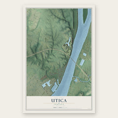
- Utica 12" x 18" / Archival Matte Print $39.99
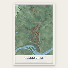
- Clarksville 12" x 18" / Archival Matte Print $39.99
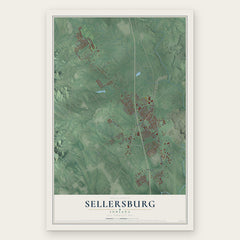
- Sellersburg 12" x 18" / Archival Matte Print $39.99
More maps nearby: Charlestown, New Albany, Floyds Knobs, Memphis and Galena.
The art of mapping a place
How This Map Was Made
Real places. Remarkable detail. Discover the layers that turn geographic data into a map of home.

The view from above
Aerial imagery reveals the character of the land: woodland, open fields, and the patterns of a place.

The shape of the land
Elevation data brings hills, valleys, and subtle changes in the landscape into view.

The details of home
Roads, waterways, and building footprints come together to make the map feel unmistakably local.

Geography becomes art
Considered color, shading, and typography bring the layers together in a map made for your wall.


Process illustrated with Mendon, Massachusetts. Aerial imagery: USDA NAIP. Terrain: USGS 3D Elevation Program. Map details and finished artwork: KNOWOL.
The Details
About This Print
Choose an archival matte print, or a black or white Ayous wood frame. The archival matte print is unframed.
Select your size and finish above to see the matching product image and price.
Materials & Craftsmanship
A contemporary map with the character of a classic atlas, printed on archival matte paper. Optional frames are made from Ayous wood.
Your printed map does not include the watermark shown in the full-map preview.
Shipping & Delivery
Free shipping within the United States. Every print is made to order in the USA.
Buying a gift? Add a note in your cart and we'll include it. We never put prices in the package.
Prints ship within 2 to 3 business days. Allow 7 to 10 days total from ordering for delivery. Timing may vary during holidays or periods of high order volume.
Read our shipping policy.
Returns and damaged prints
Each print is made to order. Change-of-mind refunds are not available after production.
If your print arrives damaged, misprinted or incorrect, contact support@knowol.com within 30 days of receiving it. Include your order number, photos and a description of the issue.
Read our full refund and replacement policy. For questions about your order, email support@knowol.com.