
Search for another town
Free U.S. delivery 7 to 10 days after you order
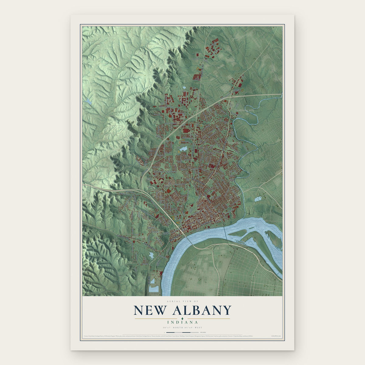
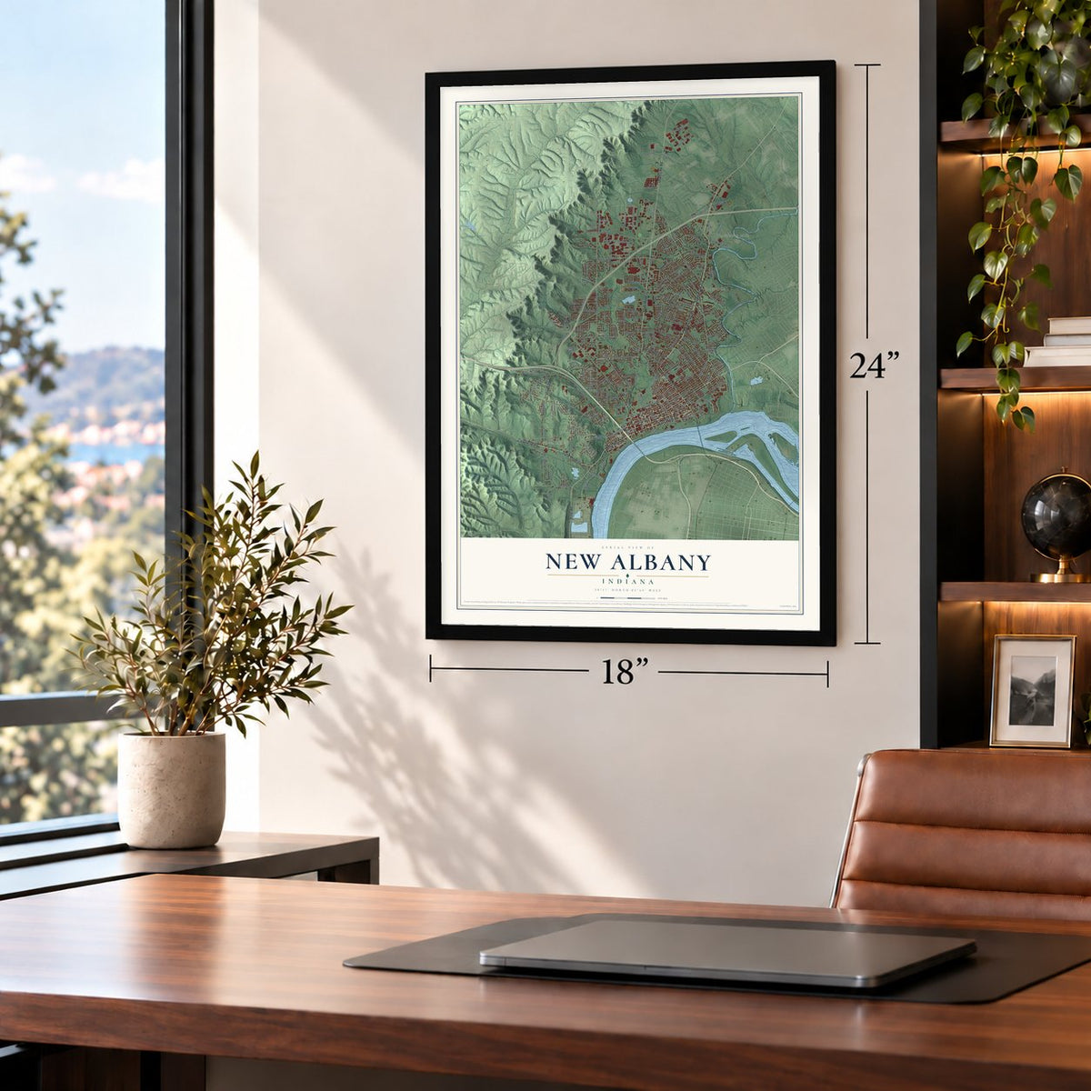
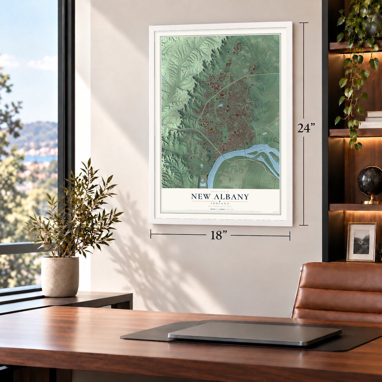
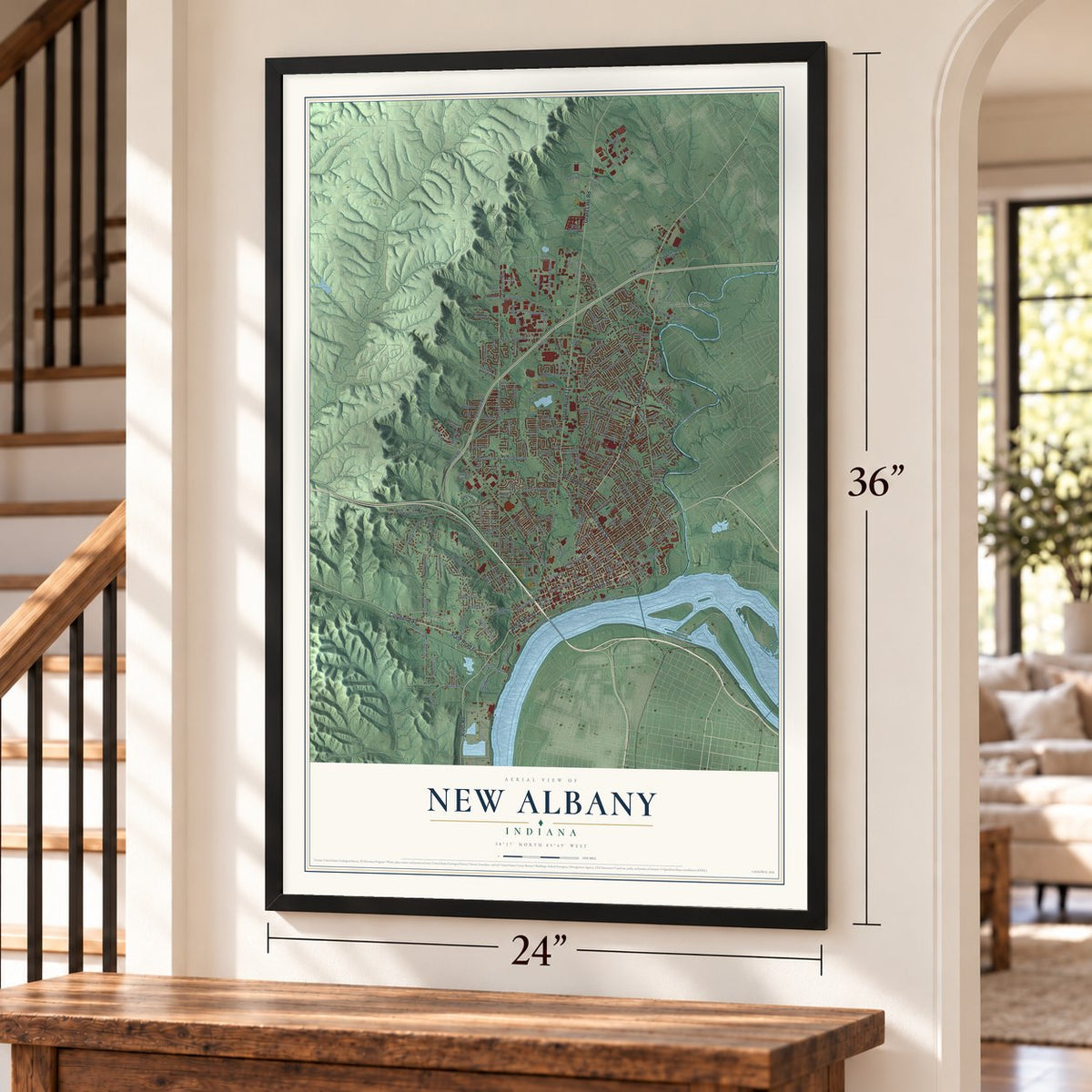
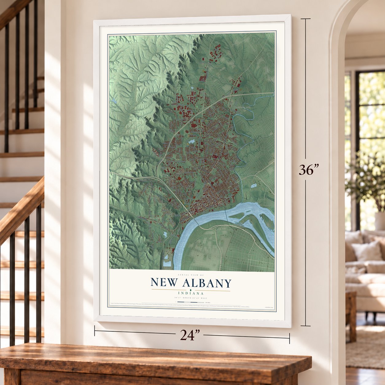
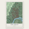
New Albany, Indiana Map Art
Building by building, with labeled streets and shaded relief.
12" x 18" Archival Matte Print
A Map of Home. A Work of Art.
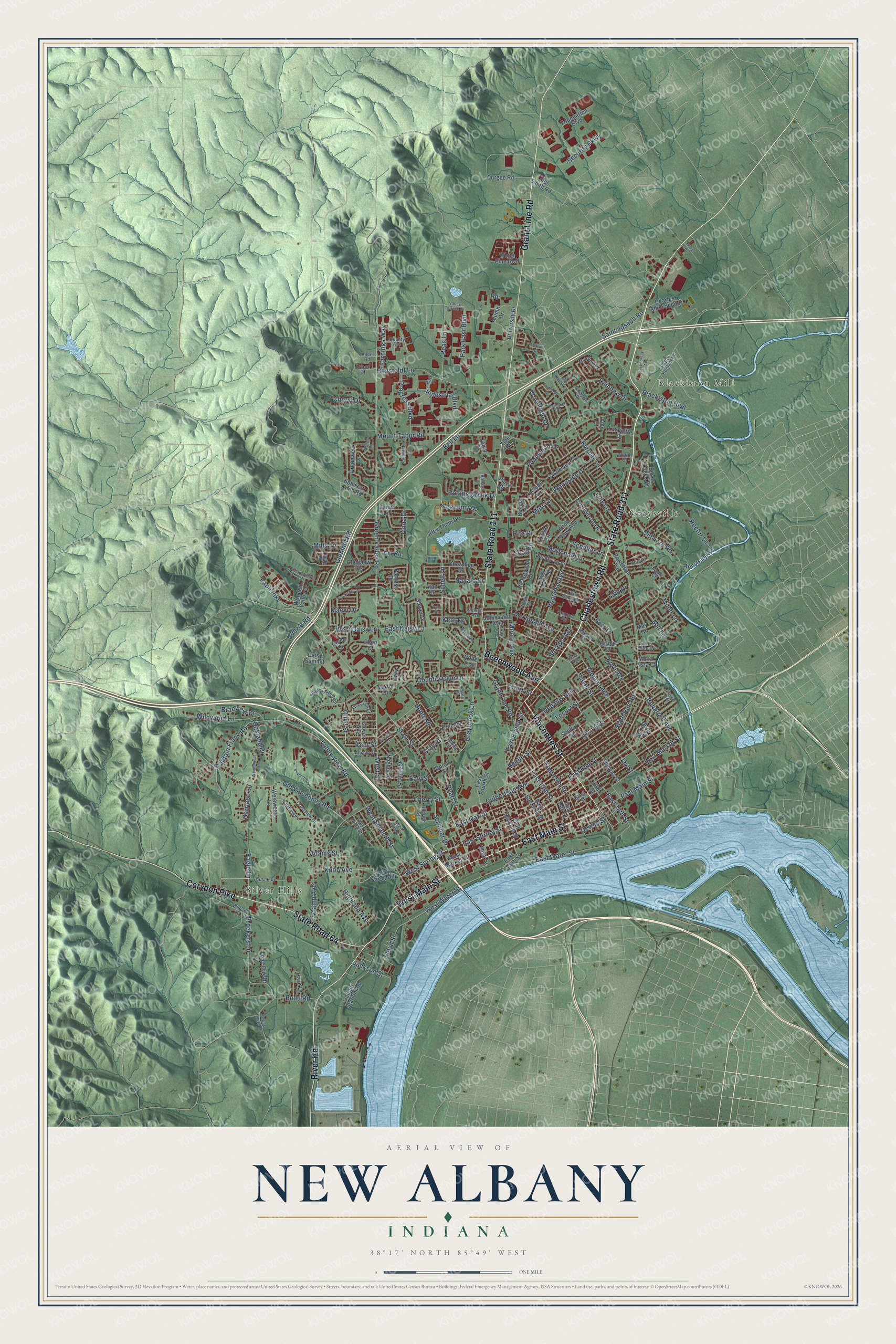
Explore New Albany, Indiana from a whole new perspective. Created using aerial imagery and detailed geographic data, this map captures New Albany building by building, with labeled streets, familiar landmarks, and shaded topographical relief that highlights the natural contours of the landscape.
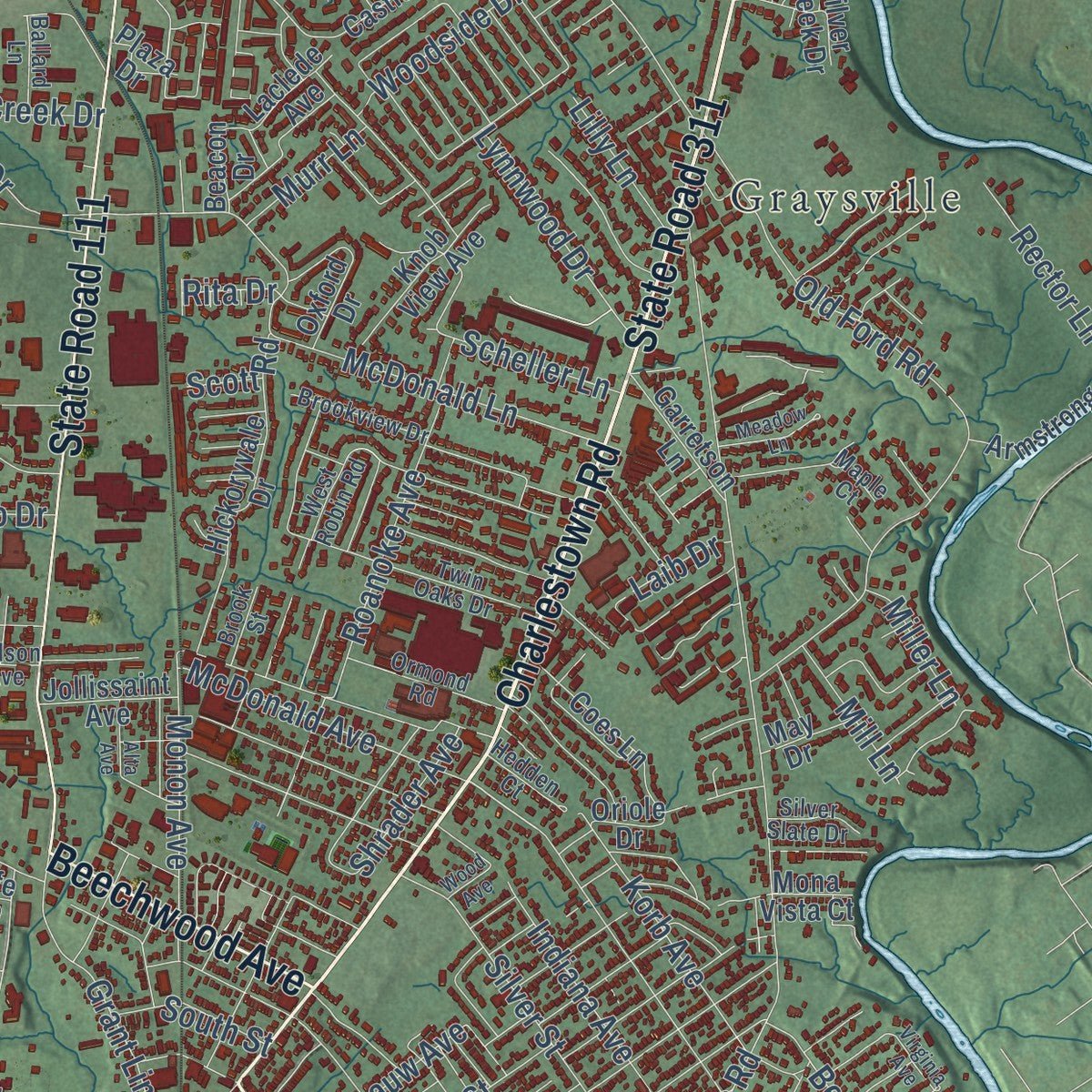
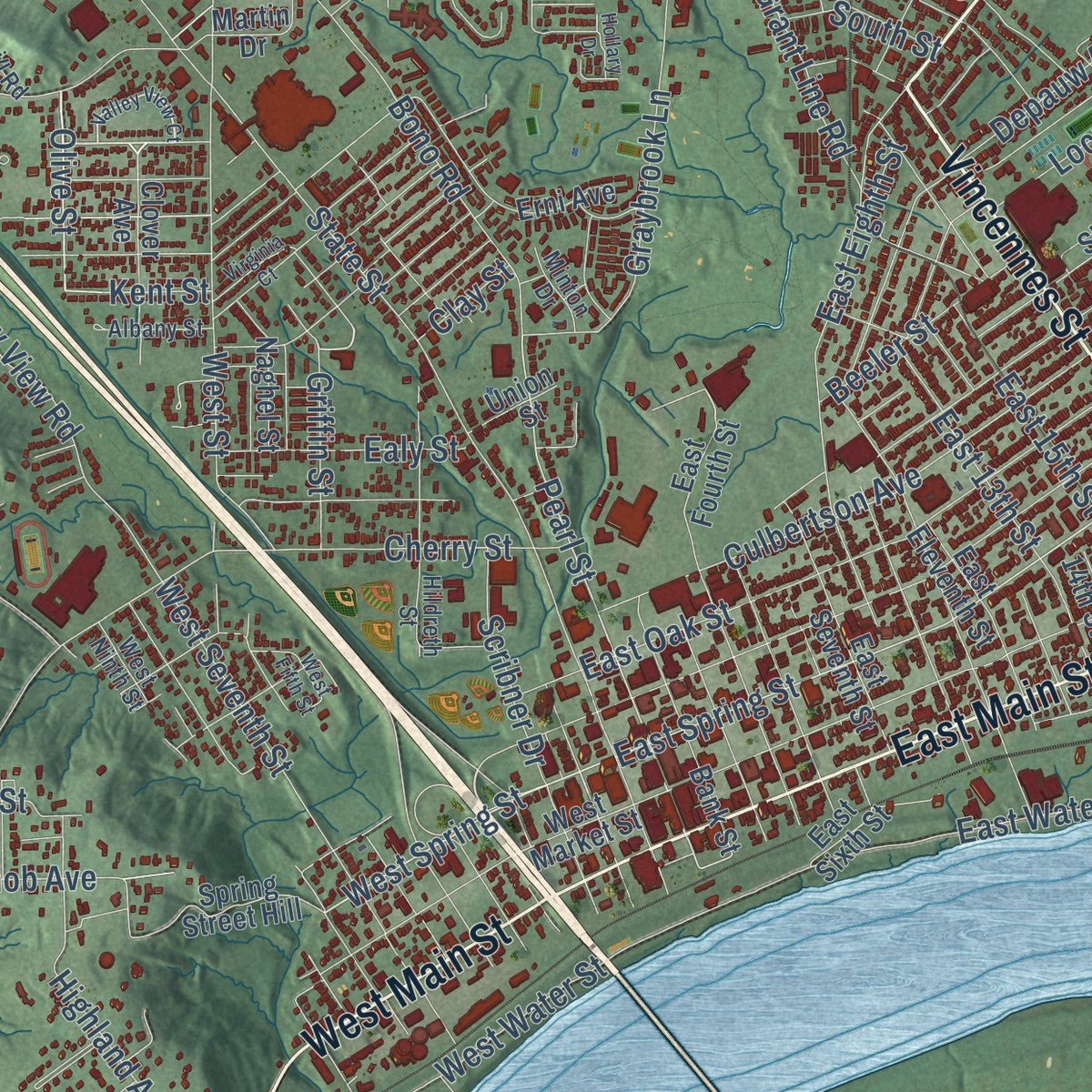
Combining modern data with the timeless character of a vintage atlas, this map is just as interesting up close as it is beautiful on the wall. Whether you grew up in New Albany, spent memorable years there, or call it home today, this unique map is a great way to celebrate a place that means something to you. Zoom in on the preview to look for your street, and then order a print to put your memories on the wall.
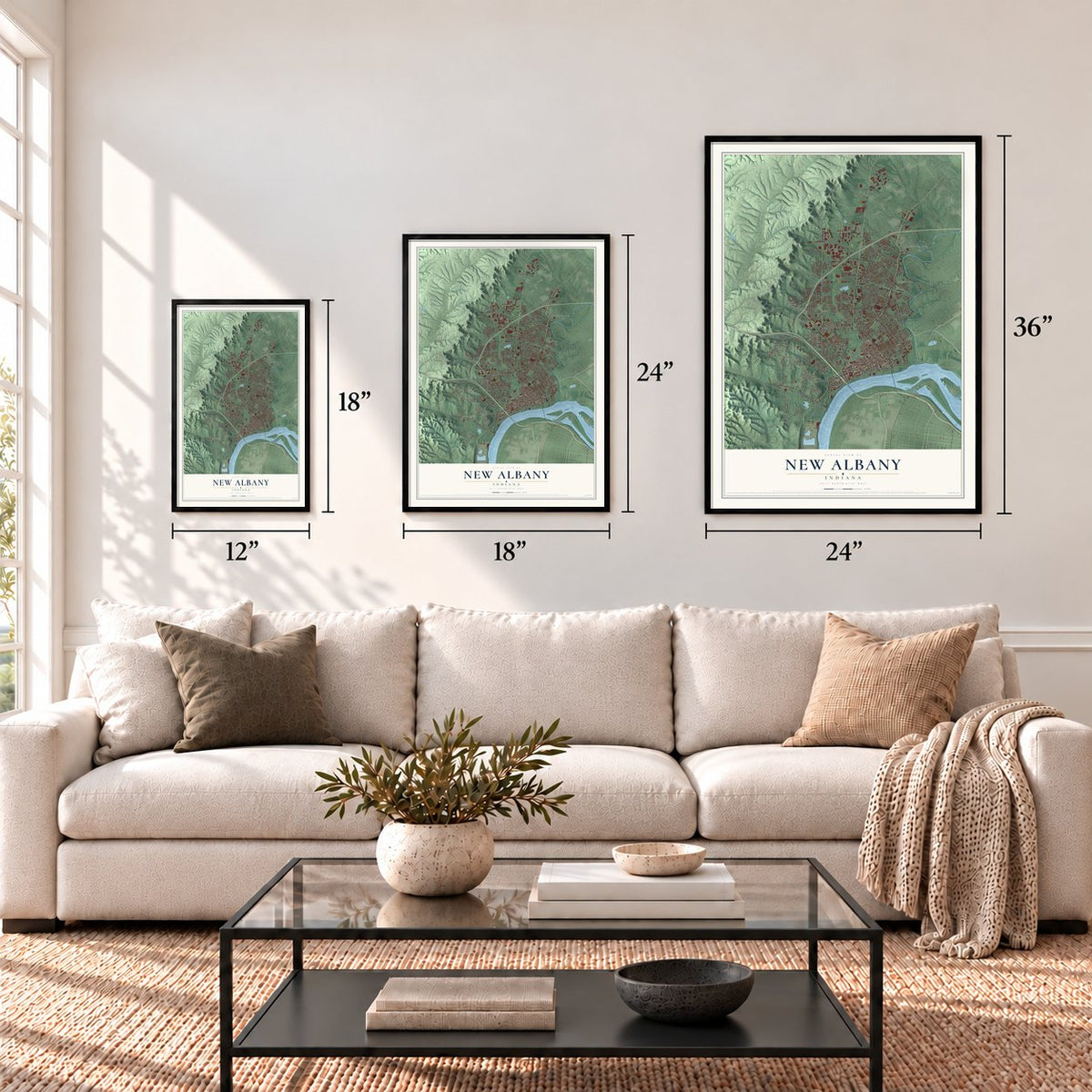
Three ways to hang it
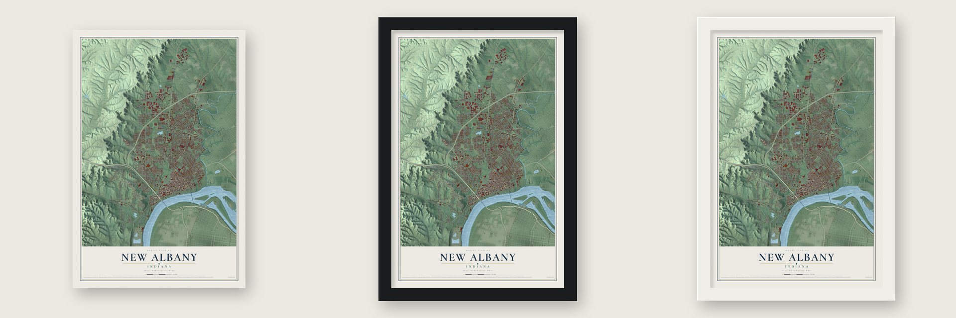
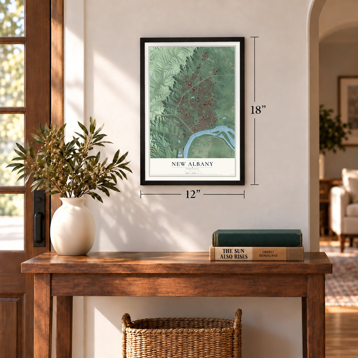
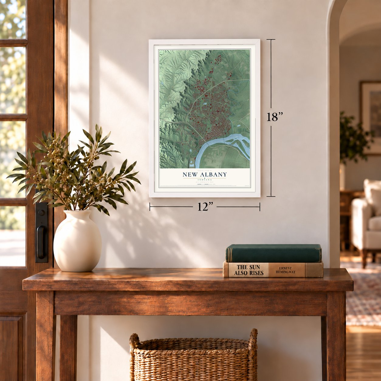
Unframed archival matte, a black wood frame or a white wood frame.
Up close
Geography Worth Displaying
This map was created using accurate cartographic data and authoritative geographic sources, including the U.S. Geological Survey and the Census Bureau. The map brings together terrain, waterways, roads, and building detail. The majority of the streets are labeled, houses are accurately depicted, and the topography is derived from government sources. Combining local data with carefully composed color and shading leads to this beautifully detailed New Albany artwork for your wall.
Rather than simply showing street outlines, we’ve included as many of the street names as we could reasonably fit on the map while keeping their names legible. Zoom in on the high resolution preview to see exactly what’s on the map. We truly set out to create a statement piece for anyone who loves New Albany. So whether it’s for you, or a gift for someone you love, we hope this map of New Albany brings back fond memories.
Read the story behind this map of New Albany, Indiana from 2026.
Find your street
Names on the New Albany map
Every name below is printed on this map. Look for your street, your school, the park where you played, or the pond down the road.
Places and landmarks3
- Silver Hills
- Blackiston Mill
- Graysville
Streets and roads229
- Charlestown Road
- State Road 311
- East Main Street
- Vincennes Street
- West Main Street
- Beechwood Avenue
- State Road 111
- Grant Line Road
- Corydon Pike
- State Road 64
- River Road
- Griffin Street
- Olive Street
- Kent Street
- Old Vincennes Road
- West Spring Street
- East Spring Street
- Pearl Street
- West Daisy Lane
- Green Valley Road
- State Street
- Mount Tabor Road
- East Elm Street
- East Market Street
- East Oak Street
- Klerner Lane
- Slate Run Road
- Silver Street
- Captain Frank Road
- Culbertson Avenue
Show all 229 streets
- Hausfeldt Lane
- Old Ford Road
- East Water Street
- Indiana Avenue
- Cherry Street
- McDonald Lane
- Beeler Street
- Ekin Avenue
- West Street
- Academy Drive
- McDonald Avenue
- Glenmill Road
- East Daisy Lane
- Graybrook Lane
- West Seventh Street
- Saint Joseph Road
- Industrial Boulevard
- Roanoke Avenue
- East Eighth Street
- Bono Road
- Valley View Road
- Rainbow Drive
- Jackson Street
- Floyd Street
- Broekers Lane
- East 15th Street
- Locust Street
- Dewey Street
- Scribner Drive
- Park East Boulevard
- Reas Lane
- East 13th Street
- Paoli Pike
- Jay Street
- Wildwood Lane
- Security Parkway
- East 18th Street
- Country Club Drive
- Linda Drive
- Highland Avenue
- Camp Avenue
- Schell Lane
- Progress Boulevard
- Eagle Lane
- Monon Avenue
- Beharrell Avenue
- Budd Road
- Korb Avenue
- Rolling Creek Drive
- Depauw Avenue
- Scheller Lane
- Adams Street
- Woodside Drive
- Lynnwood Drive
- Knob Avenue
- Ealy Street
- Mills Lane
- West Water Street
- Kenzig Road
- Braeview Drive
- Blackiston Boulevard
- Pennwood Drive
- Navajo Drive
- Rector Lane
- Earnings Way
- Cheryl Drive
- Maevi Drive
- Woodfield Drive
- Carriage Lane
- Oakland Drive
- Shrader Avenue
- Mill Lane
- Lilly Lane
- South Street
- Murr Lane
- Miller Lane
- Bell Lane
- 4-H Road
- Scott Road
- Kent Drive
- Clay Street
- Laib Drive
- Rita Drive
- Road
- Plaza Drive
- East Sixth Street
- Alex Thom Drive
- East Fourth Street
- Shelby Street
- West Market Street
- Castlewood Drive
- East Eleventh Street
- White Pine Boulevard
- Thomas Street
- Foundation Boulevard
- Lafayette Drive
- Arbor Place
- Bank Street
- Erni Avenue
- East Seventh Street
- Glenview Heights
- Pamela Drive
- Spring Avenue
- Daisy Summit
- East 14th Street
- Charles Allen School
- Galt Street
- Coes Lane
- Spring Street Hill
- Hickoryvale Drive
- Cherokee Drive
- Galiger Station Road
- Ellen Court
- Knob View Avenue
- Clover Avenue
- Silver Creek Drive
- University Drive
- Greenview Drive
- Armstrong Road
- Wooded Valley Drive
- Alumni Drive
- Oxford Drive
- Westwood Lane
- Tiger Boulevard
- Wolfe Trce
- Gary Drive
- Naghel Street
- Garretson Lane
- Lone Oak Drive
- Spickert Knob Road
- Beacon Drive
- Janie Lane
- Stover Drive
- Haze Drive
- Jollissaint Avenue
- Mona Vista Court
- Durgee Road
- Coyle Drive
- Martin Drive
- Laclede Avenue
- Mel Smith Road
- Union Street
- May Drive
- Tabor Court
- Oriole Drive
- Alan Drive
- King Street
- Amy Court
- Crestview Drive
- Payne Koehler Road
- Albany Street
- Muirfield Drive
- Hildreth Street
- Twin Oaks Drive
- Willian Lane
- Clearstream Court
- Fawcett Hill Road
- West Ninth Street
- Park Place
- Busch Place
- Ormond Road
- Quality Avenue
- Brookview Drive
- West Robin Road
- Lancaster Drive
- Nelson Avenue
- Hedden Court
- Ballard Lane
- Silver Slate Drive
- Minton Drive
- Tingle Drive
- Brook Street
- Wilton Court
- Ailee Road
- Maple Court
- Valley View Court
- Sunset Drive
- Silvercrest Drive
- Eastridge Drive
- Dalebrook Drive
- Woodmount Drive
- West Fifth Street
- Roseview Terrace
- Valley Terrace Drive
- Technology Avenue
- Woodland Road
- Farmgate Drive
- Meadow Lane
- Finchleigh Drive
- Virginia Court
- Old Klerner Lane
- Powder House Lane
- Jaffrey Drive
- Alta Avenue
- Virginia Avenue
- Melvyn Drive
- Hollary Drive
- Wood Avenue
- Tyler Drive
Names are listed as they appear on the printed map. Zoom into the product photos to find them.
About New Albany, Indiana
New Albany is a city of 37,841 people on the Ohio River, across from Louisville, Kentucky, and it is the seat of Floyd County. In July 1813 the Scribner brothers, Joel, Abner and Nathaniel, came from New York to the Falls of the Ohio. They bought the land from Col. John Paul and named their town for Albany, New York. John Graham platted the streets, and in 1814 Joel and Mary Scribner built a house that still stands.
The town was incorporated in 1817 and became the seat of the new Floyd County in 1819. Steamboats drove its growth, as at least a half-dozen shipyards used the nearby forests for lumber and built boats such as the Eclipse and the Robert E. Lee. New Albany was Indiana's largest city from 1816 until Indianapolis passed it in 1860. During the Civil War, the South shunned its businesses because it sat in a Union state, and the North thought it too friendly to the South. The steamboat trade was gone by 1870, and the city never won back its old standing.
“New Albany may justly be termed the city of churches. Ever since the city was founded, it has been distinguished for the religious character of its citizens and its church privileges.”
- Indiana's first public high schoolNew Albany High School opened in 1853 at West First and Spring streets, the first public high school in Indiana. The city later formed the state's first consolidated school district. In 1949 the high school started WNAS-FM, now the oldest high school radio station in the country that has stayed on the air without a break.
- A national cemetery in 1862Up to 1,500 wounded soldiers were cared for in New Albany during the Civil War, many of them in buildings turned into hospitals. In 1862 Abraham Lincoln created one of the first seven national cemeteries here for the war dead. New Albany National Cemetery joined the National Register in 1999.
- The Town Clock ChurchThe Town Clock Church, now Second Baptist Church, was New Albany's stop on the Underground Railroad. Lightning knocked down its steeple in 1915, and a copy of the old steeple was finally finished 101 years later, in 2016.
- Flood walls after 1937In January 1937 the Ohio rose to 60.8 feet at New Albany, which had no flood walls. Most of the town sat under 10 feet of water or more for almost three weeks, the worst disaster in the city's history. Afterward New Albany became the first city in the region to start building flood walls, and Louisville and Clark County used them as models.
- From glass to plywoodThe American Plate Glass Works, the city's second-largest business, started up in 1865 and at its peak had as many as 2,000 people on its payroll. When the factory left in 1893, a large share of New Albany's people left too. The city then turned to plywood and veneer, led by the New Albany Veneering Company, and by 1920 no place in the world made more of them.
Keep exploring Indiana
New Albany is one of 1,023 Indiana towns we've mapped. Every dot on the map is a print of its own.
The search covers every state, Indiana first.
Near New Albany
Order 2 or more town maps and save 10%. Shown in the size and finish you picked above, so they hang as a set.
- Clarksville 12" x 18" / Archival Matte Print $39.99
- Floyds Knobs 12" x 18" / Archival Matte Print $39.99
- Sellersburg 12" x 18" / Archival Matte Print $39.99
More maps nearby: Jeffersonville, Galena, Georgetown, Utica and Greenville.
The art of mapping a place
How This Map Was Made
Real places. Remarkable detail. Discover the layers that turn geographic data into a map of home.

The view from above
Aerial imagery reveals the character of the land: woodland, open fields, and the patterns of a place.

The shape of the land
Elevation data brings hills, valleys, and subtle changes in the landscape into view.

The details of home
Roads, waterways, and building footprints come together to make the map feel unmistakably local.

Geography becomes art
Considered color, shading, and typography bring the layers together in a map made for your wall.


Process illustrated with Mendon, Massachusetts. Aerial imagery: USDA NAIP. Terrain: USGS 3D Elevation Program. Map details and finished artwork: KNOWOL.
The Details
About This Print
Choose an archival matte print, or a black or white Ayous wood frame. The archival matte print is unframed.
Select your size and finish above to see the matching product image and price.
Materials & Craftsmanship
A contemporary map with the character of a classic atlas, printed on archival matte paper. Optional frames are made from Ayous wood.
Your printed map does not include the watermark shown in the full-map preview.
Shipping & Delivery
Free shipping within the United States. Every print is made to order in the USA.
Buying a gift? Add a note in your cart and we'll include it. We never put prices in the package.
Prints ship within 2 to 3 business days. Allow 7 to 10 days total from ordering for delivery. Timing may vary during holidays or periods of high order volume.
Read our shipping policy.
Returns and damaged prints
Each print is made to order. Change-of-mind refunds are not available after production.
If your print arrives damaged, misprinted or incorrect, contact support@knowol.com within 30 days of receiving it. Include your order number, photos and a description of the issue.
Read our full refund and replacement policy. For questions about your order, email support@knowol.com.