
Search for another town
Free U.S. delivery 7 to 10 days after you order
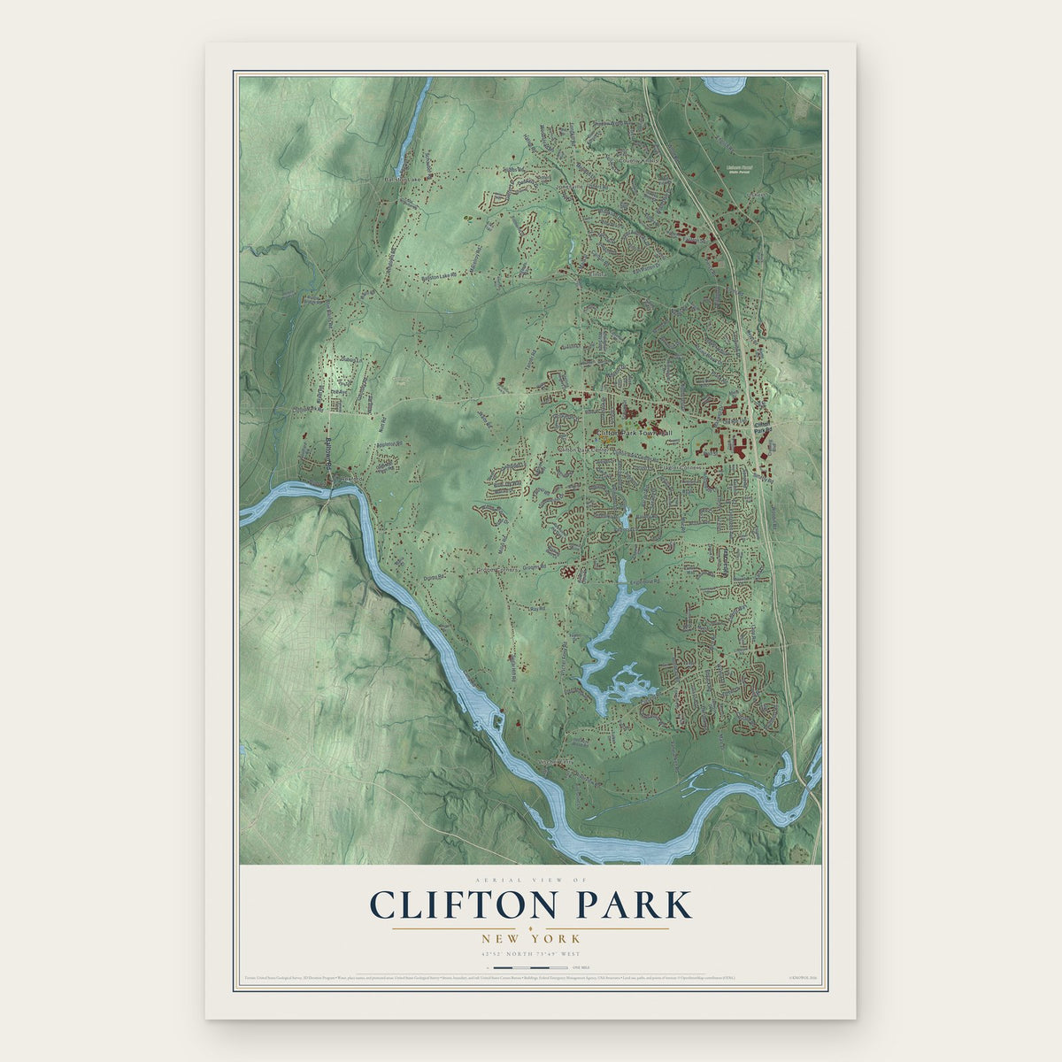
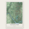
Clifton Park, New York Map Art
Building by building, with labeled streets and shaded relief.
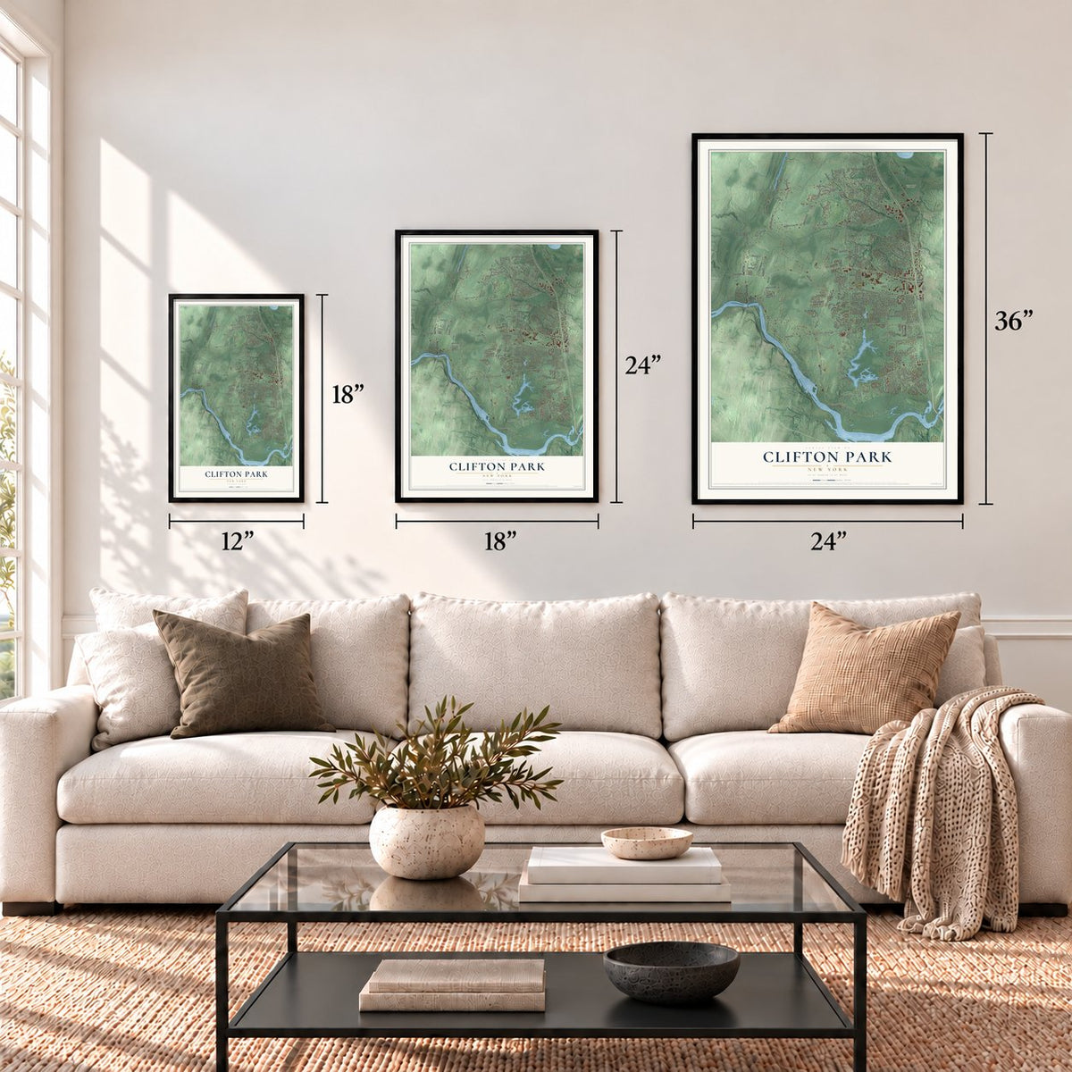
12" x 18" Archival Matte Print
A Map of Home. A Work of Art.
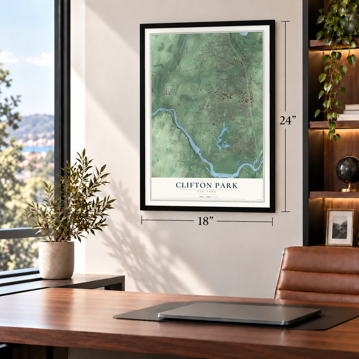
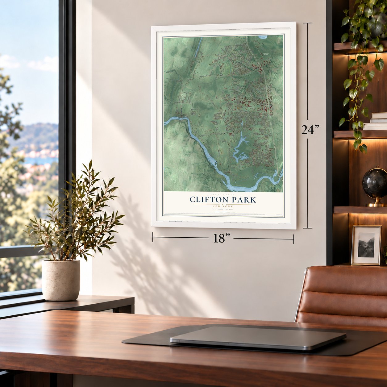
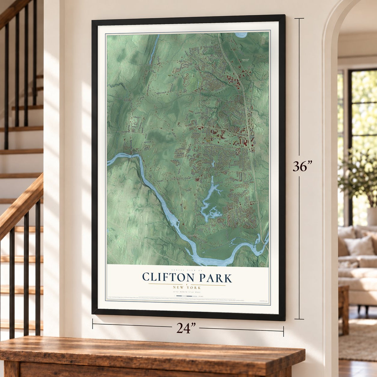
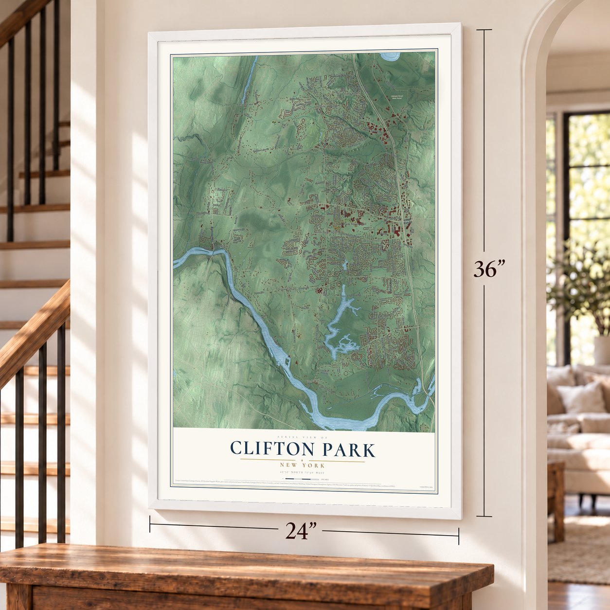
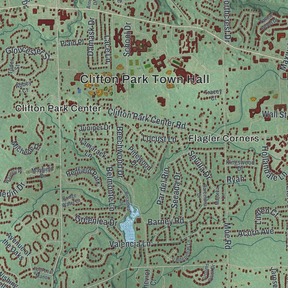
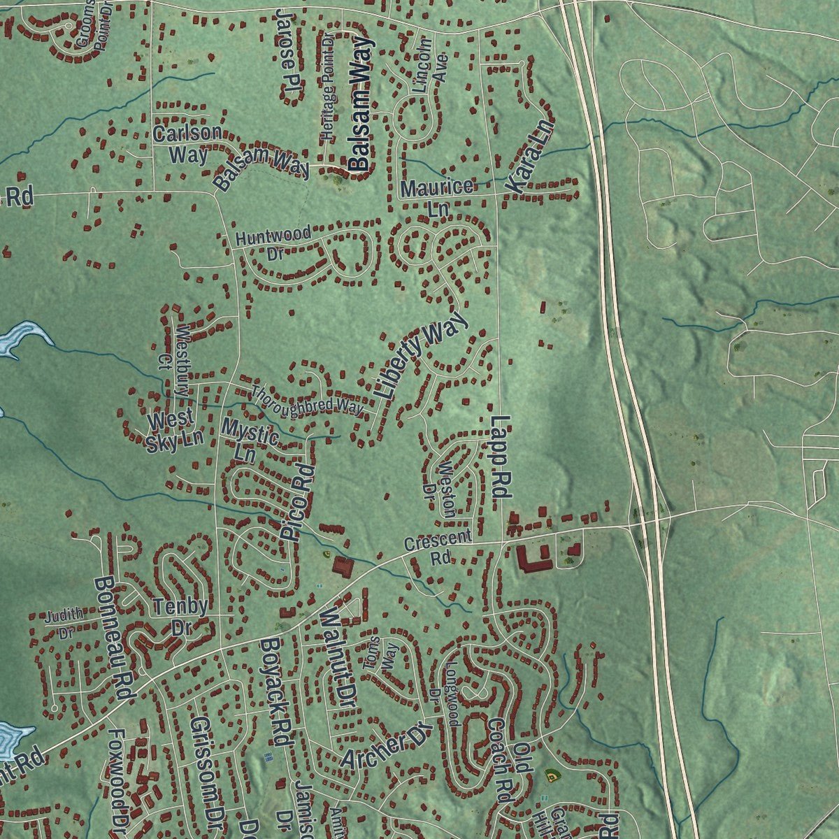
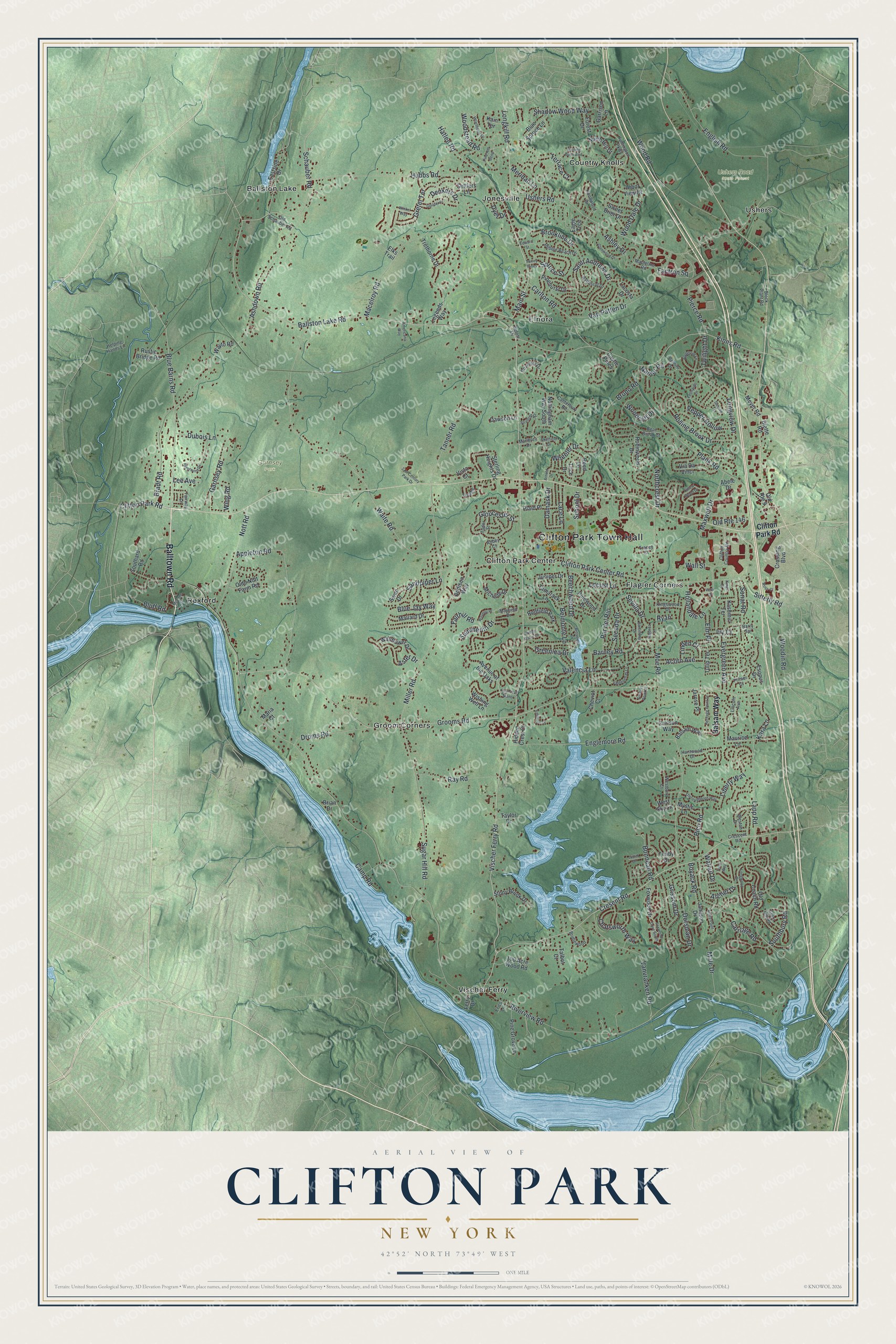
Explore Clifton Park, New York from a whole new perspective. Created using aerial imagery and detailed geographic data, this map captures Clifton Park building by building, with labeled streets, familiar landmarks, and shaded topographical relief that highlights the natural contours of the landscape.
Combining modern data with the timeless character of a vintage atlas, this map is just as interesting up close as it is beautiful on the wall. Whether you grew up in Clifton Park, spent memorable years there, or call it home today, this unique map is a great way to celebrate a place that means something to you. Zoom in on the preview to look for your street, and then order a print to put your memories on the wall.
Three ways to hang it
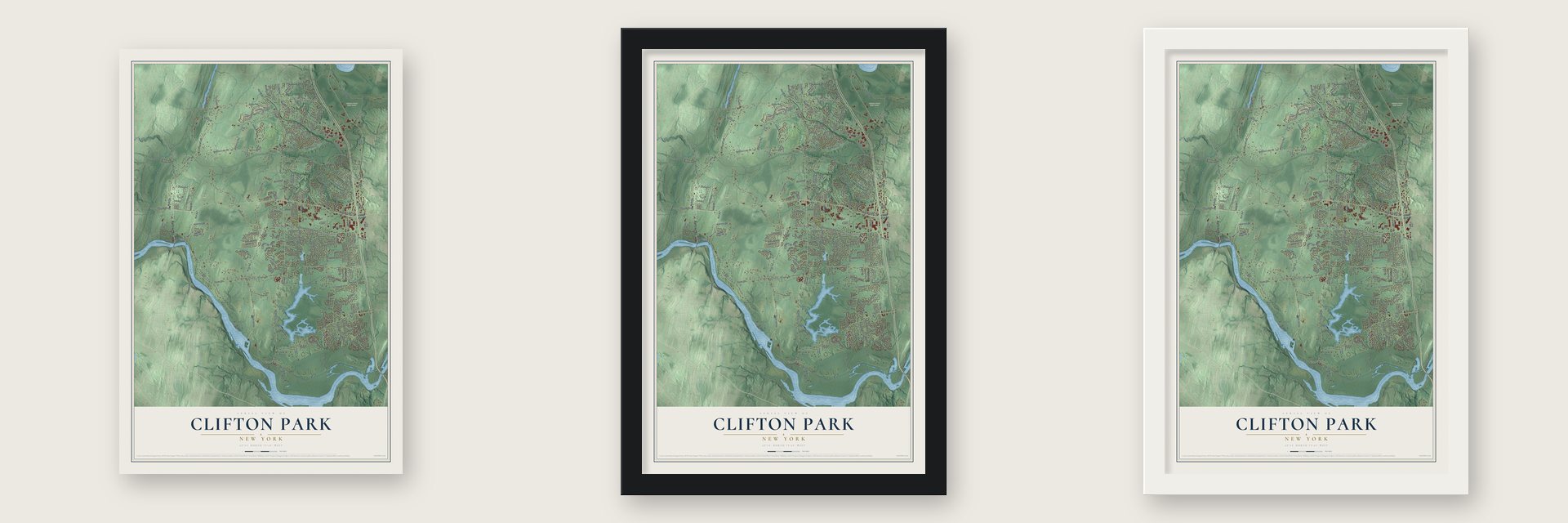
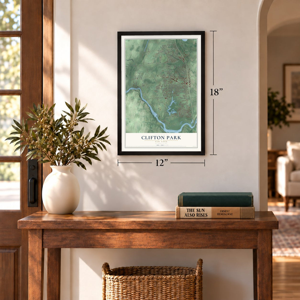
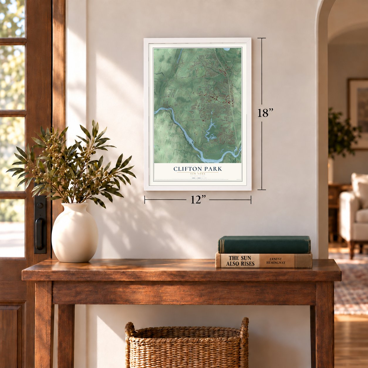
Unframed archival matte, a black wood frame or a white wood frame.
Up close
Geography Worth Displaying
This map was created using accurate cartographic data and authoritative geographic sources, including the U.S. Geological Survey (USGS) and FEMA. The map brings together terrain, waterways, roads, and building detail. The majority of the streets are labeled, houses are accurately depicted, and the topography is derived from government sources. Combining local data with carefully composed color and shading leads to this beautifully detailed Clifton Park artwork for your wall.
Rather than simply showing street outlines, we’ve included as many of the street names as we could reasonably fit on the map while keeping their names legible. Zoom in on the high resolution preview to see exactly what’s on the map. We truly set out to create a statement piece for anyone who loves Clifton Park. So whether it’s for you, or a gift for someone you love, we hope this map of Clifton Park brings back fond memories.
Explore the full map of Clifton Park, New York and read about the local places it shows.
Find your street
Names on the Clifton Park map
Every name below is printed on this map. Look for your street, your school, the park where you played, or the pond down the road.
Places and landmarks14
- Clifton Park Town Hall
- Garnsey Park
- Ushers Road State Forest
- Ballston Lake
- Clifton Park Center
- Country Knolls
- Elnora
- Flagler Corners
- Groom Corners
- Jonesville
- Rexford
- Ushers
Show all 14 places
- Vischer Ferry
- Redfield Park
Streets and roads246
- Balltown Road
- Ballston Lake Road
- Main Street
- Schauber Road
- Gloucester Street
- Hatlee Road
- Cresent Road
- Clifton Park Road
- Riverview Road
- Vischer Ferry Road
- Grooms Road
- Moe Road
- Clifton Park Center Road
- Waite Road
- Ushers Road
- Kinns Road
- Miller Road
- Ashdown Road
- Plank Road
- Wood Road
- Sugar Hill Road
- Tanner Road
- Blue Barns Road
- Macelroy Road
- School Drive
- Hubbs Road
- Appleton Road
- Boyack Road
- Englemore Road
- Lapp Road
Show all 246 streets
- Vanvranken Road
- Bruno Road
- Maxwell Drive
- Southbury Road
- Valencia Lane
- Van Patten Drive
- Wood Dale Drive
- English Road
- Rolling Brook Drive
- Blue Jay Way
- Nott Road
- Bradt Road
- Par del Rio
- Barney Road
- Saint Andrews Drive
- Carlton Road
- Ray Road
- Pierce Road
- Shadow Wood Way
- Woodstead Road
- Grissom Drive
- Longkill Road
- Hollandale Lane
- Evergreen Avenue
- Longview Drive
- Archer Drive
- Beechwood Drive
- Liberty Way
- Droms Road
- Terrace Court
- Garnsey Road
- Summerlin Drive
- Chatsworth Way
- Sandpiper Lane
- Pico Road
- Woodin Road
- Gretel Terrace
- Sonat Road
- Old Route 146
- Wheeler Drive
- Brookline Drive
- Dorsman Drive
- Spruce Street
- Male Drive
- Carriage Road
- Aster Drive
- Dubois Lane
- Locust Lane
- Pepper Hollow
- Damask Drive
- Bonneau Road
- Secada Drive
- Acorn Avenue
- Sitterly Road
- Ashley Drive
- Greenlea Drive
- Fairhill Road
- Denkers Drive
- Linden Court
- Kara Lane
- Lace Lane
- Wing Road
- Sevilla Drive
- Northcrest Drive
- Meridan Lane
- Woodcliff Drive
- Belmonte Lane
- Factron Square
- Nadler Road
- Bluff Road
- Camp Road
- Twilight Drive
- Walnut Drive
- Wall Street
- Elm Place
- Lee Avenue
- Ivy Court
- Dyer Drive
- Ryan
- Balsam Way
- Esopus Drive
- Avenue of the Oaks
- Robinwood Drive
- Eastside Drive
- Blue Spruce Lane
- Via Da Vinci
- Old Coach Road
- Wishing Well Lane
- Sweet Brier Drive
- Meyer Road
- Nottingham Way South
- Castle Pines
- Sterling Heights Drive
- Olde Nott Farm Road
- Jamison Drive
- Juniper Drive
- Michelle Drive
- Crossing Boulevard
- Wallflower Drive
- Addison Way
- Mallard Drive
- Tamarack Lane
- Pine Grove Lane
- Stony Brook Drive
- North Hill Drive
- Rustic Bridge Road
- Pinehurst Drive
- 100 Acre Wood Road
- Legends Way
- Plaid Place
- Reed Lane
- Foxwood Drive
- Lacosta Drive
- West Sky Lane
- Trethorne Drive
- Pinewood Drive
- Southard Road
- Trice Drive
- Eagle Trce
- Forest Drive
- Taylor Drive
- Dawson Lane
- Biette Road
- Cheviot Court
- Maurice Lane
- Garrison Lane
- Arbor View Drive
- Carlson Way
- Settlers Lane
- Kashmiri Terrace
- Mystic Lane
- Tulip Terrace
- Swan Drive
- Jarose Place
- Talbot Court
- Wayto Road
- Hidden Crest Court
- Kain Terrace
- Elks Trail
- Tenby Drive
- Maria Court
- Old Route 9
- Abele Drive
- Brian Drive
- Ferry Drive
- Vista Court
- Crescent Road
- Clifton Country Road
- Huntwood Drive
- Canterbury Road
- Lincoln Avenue
- Pebble Beach Drive
- Huntington Parkway
- Weston Drive
- Bridlewood
- Baltusrol Drive
- Knollwood Drive
- Westbury Court
- Coventry Drive
- Old Schauber Road
- Marlboro Drive
- Fairway Lane
- Kingswood Drive
- Mayfield Drive
- Mapleline Road
- Helping Hands Lane
- Grant Hill Road
- Bear Brook Court
- Tisdale
- Tudor Street
- Bernini Drive
- Block Plant Road
- Primer Court
- Tracey Court
- Abbey Court
- Barry Spr
- Belott Drive
- Erics Lane
- Barcelona Drive
- Foxwood Drive South
- Four Leaf Manor
- Appletree Lane
- Burning Bush Boulevard
- Longwood Drive
- Tallow Wood Drive
- Riverwind Drive
- Broadleaf Drive
- Leonardo Drive
- Valdepenas Lane
- Guilder Place
- Heritage Point Drive
- Torrey Pines
- Hearthside Drive
- Thoroughbred Way
- Pine Hill Bend
- Sunrise Terrace
- Glenwood Drive
- Stratford Drive
- Waverly Place
- Arnold Drive
- Sheffield Drive
- Grooms Point Drive
- 21st Century Park Drive
- Emmons Drive
- Bridge Water Court
- Amity Point
- Americana Way
- Winkel Way
- Judith Drive
- Majorca Lane
- Edward Street
- McLane Street
- Ross Court
- Kings Court
- Toms Way
- Vera Drive
Names are listed as they appear on the printed map. Zoom into the product photos to find them.
About Clifton Park, New York
Clifton Park is a town of 38,029 people in southern Saratoga County, and it is the largest municipality in the county. The Mohawks and Mohicans called this land Canastigione, meaning corn flats, and the first settlements here date to the 17th century. In 1707 Nanning Harmansen, who had bought land from the Native owners, wrote to Lord Cornbury for a patent and asked that it be known by "Your name of Cliftons Park," so it became the Clifton Park Patent.
In 1828 the town was formed out of Halfmoon under the name Clifton, and a year later it took the full name of the old patent. No town in Saratoga County was created after it. For years it was farmland with one small village of homes, churches and businesses along today's U.S. Route 9, but that changed in 1961, when the new Interstate 87 cut through the town and brought a wave of new residents.
- A Mohawk ferry in 1783Ferries were a common way across the Mohawk River, the town's southern edge, and in 1783 Eldert Vischer opened the crossing that gave the hamlet of Vischer Ferry its name. Today the 740-acre Vischer Ferry Nature and Historic Preserve beside the river has walking trails that follow an original stretch of the Erie Canal and its towpath.
- Edward Rexford's riverbankNorthwest of Vischer Ferry, Edward Rexford founded Rexford Flats, a small settlement on the bank of the Mohawk at the north end of present NY 146B. The hamlet of Rexford still sits near the western town line, where Route 146 turns south and crosses the Rexford bridge into Niskayuna.
- Shenendehowa, the Great PlainsThe Iroquois called the Clifton Park Patent Shenendehowa, meaning Great Plains, and the town's main school district carries that name. Shenendehowa Central Schools now teach more than 9,800 students, and its men's soccer team has won twenty-two New York State titles and two national championships.
Keep exploring New York
Clifton Park is one of 2,165 New York towns we've mapped. Every dot on the map is a print of its own.
The search covers every state, New York first.
Near Clifton Park
Order 2 or more town maps and save 10%. Shown in the size and finish you picked above, so they hang as a set.
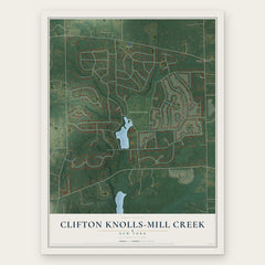
- Clifton Knolls-Mill Creek 12" x 18" / Archival Matte Print $39.99
- Clifton Gardens 12" x 18" / Archival Matte Print $39.99
- Country Knolls 12" x 18" / Archival Matte Print $39.99


More maps nearby: Ballston Lake, Niskayuna, Halfmoon, East Glenville and Round Lake.
The art of mapping a place
How This Map Was Made
Real places. Remarkable detail. Discover the layers that turn geographic data into a map of home.

The view from above
Aerial imagery reveals the character of the land: woodland, open fields, and the patterns of a place.

The shape of the land
Elevation data brings hills, valleys, and subtle changes in the landscape into view.

The details of home
Roads, waterways, and building footprints come together to make the map feel unmistakably local.

Geography becomes art
Considered color, shading, and typography bring the layers together in a map made for your wall.


Process illustrated with Mendon, Massachusetts. Aerial imagery: USDA NAIP. Terrain: USGS 3D Elevation Program. Map details and finished artwork: KNOWOL.
The Details
About This Print
Choose an archival matte print, or a black or white Ayous wood frame. The archival matte print is unframed.
Select your size and finish above to see the matching product image and price.
Materials & Craftsmanship
A contemporary map with the character of a classic atlas, printed on archival matte paper. Optional frames are made from Ayous wood.
Your printed map does not include the watermark shown in the full-map preview.
Shipping & Delivery
Free shipping within the United States. Every print is made to order in the USA.
Buying a gift? Add a note in your cart and we'll include it. We never put prices in the package.
Prints ship within 2 to 3 business days. Allow 7 to 10 days total from ordering for delivery. Timing may vary during holidays or periods of high order volume.
Read our shipping policy.
Returns and damaged prints
Each print is made to order. Change-of-mind refunds are not available after production.
If your print arrives damaged, misprinted or incorrect, contact support@knowol.com within 30 days of receiving it. Include your order number, photos and a description of the issue.
Read our full refund and replacement policy. For questions about your order, email support@knowol.com.