
Search for another town
Free U.S. delivery 7 to 10 days after you order
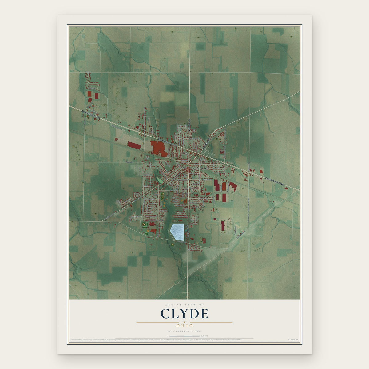
Clyde, Ohio Map Art
Building by building, with labeled streets and shaded relief.
12" x 18" Archival Matte Print
A Map of Home. A Work of Art.
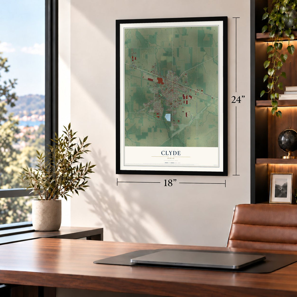
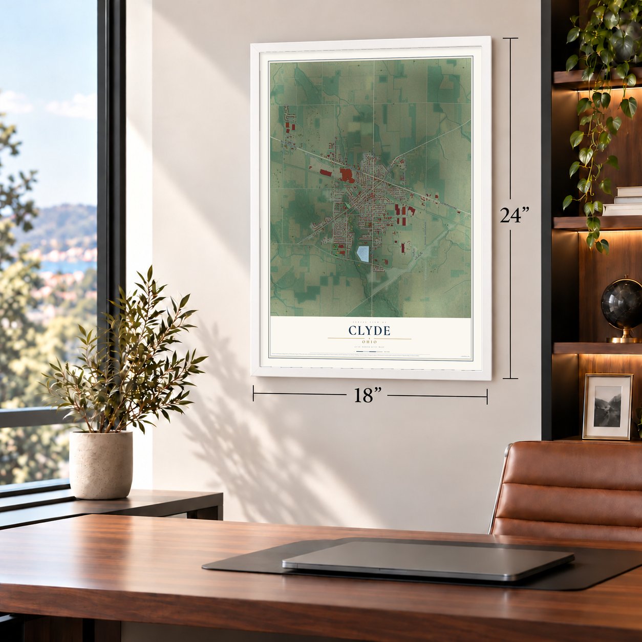
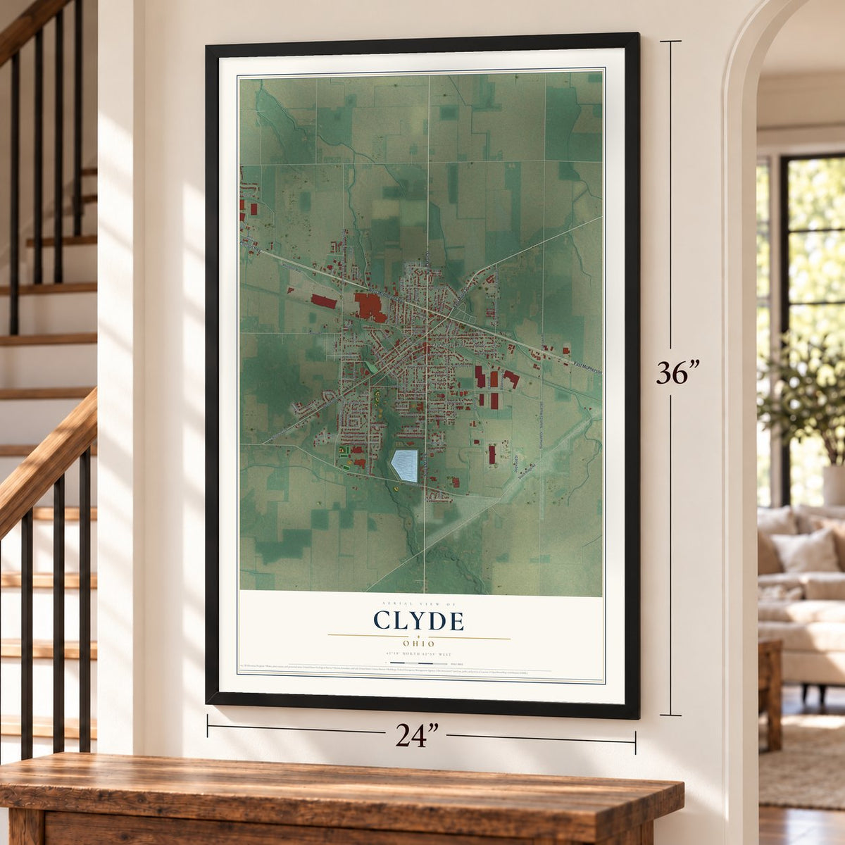
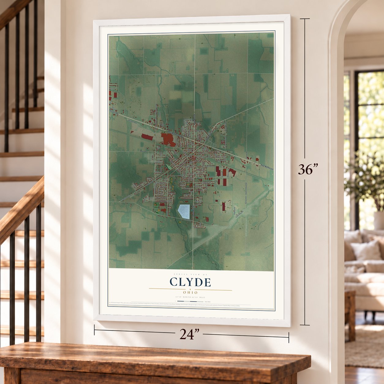
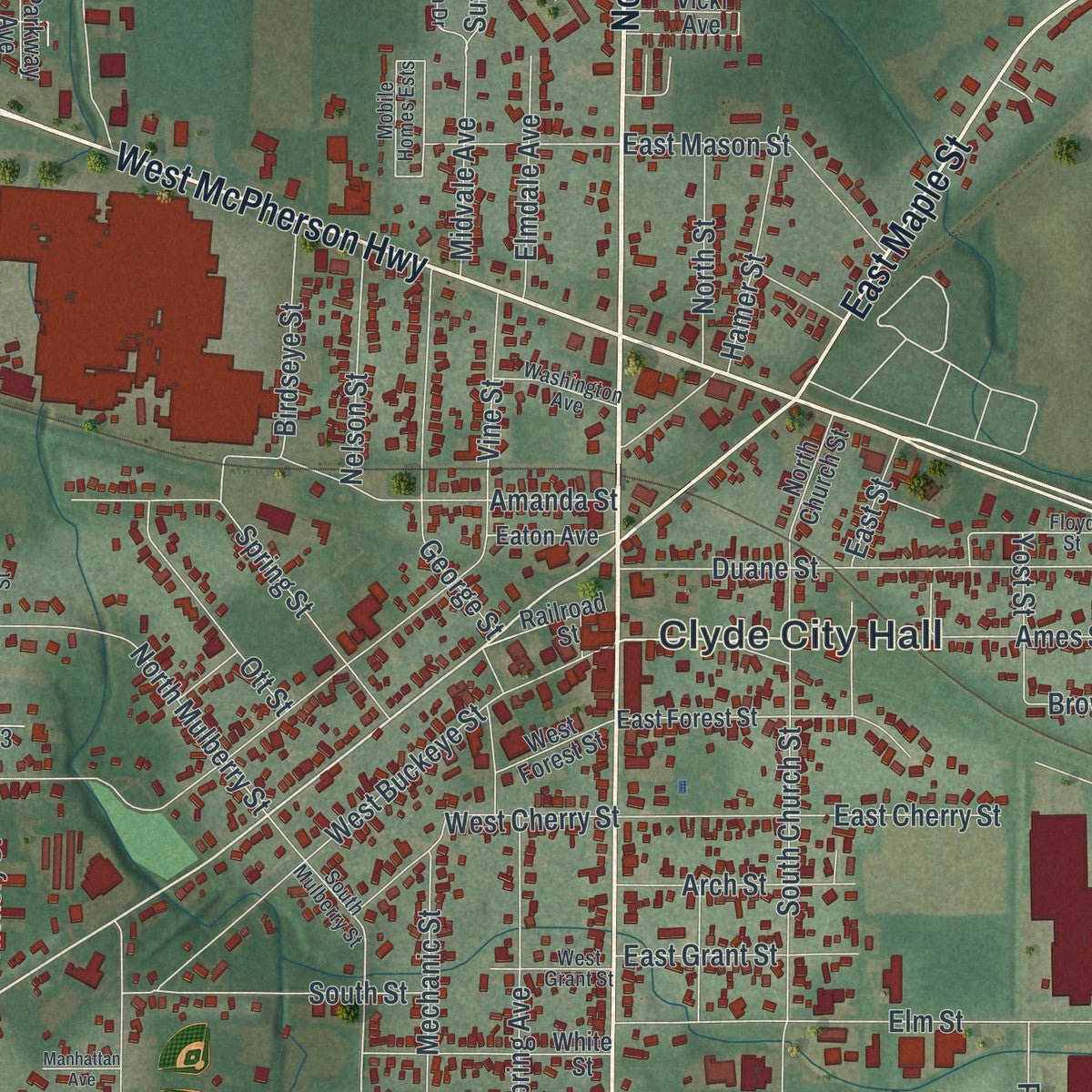
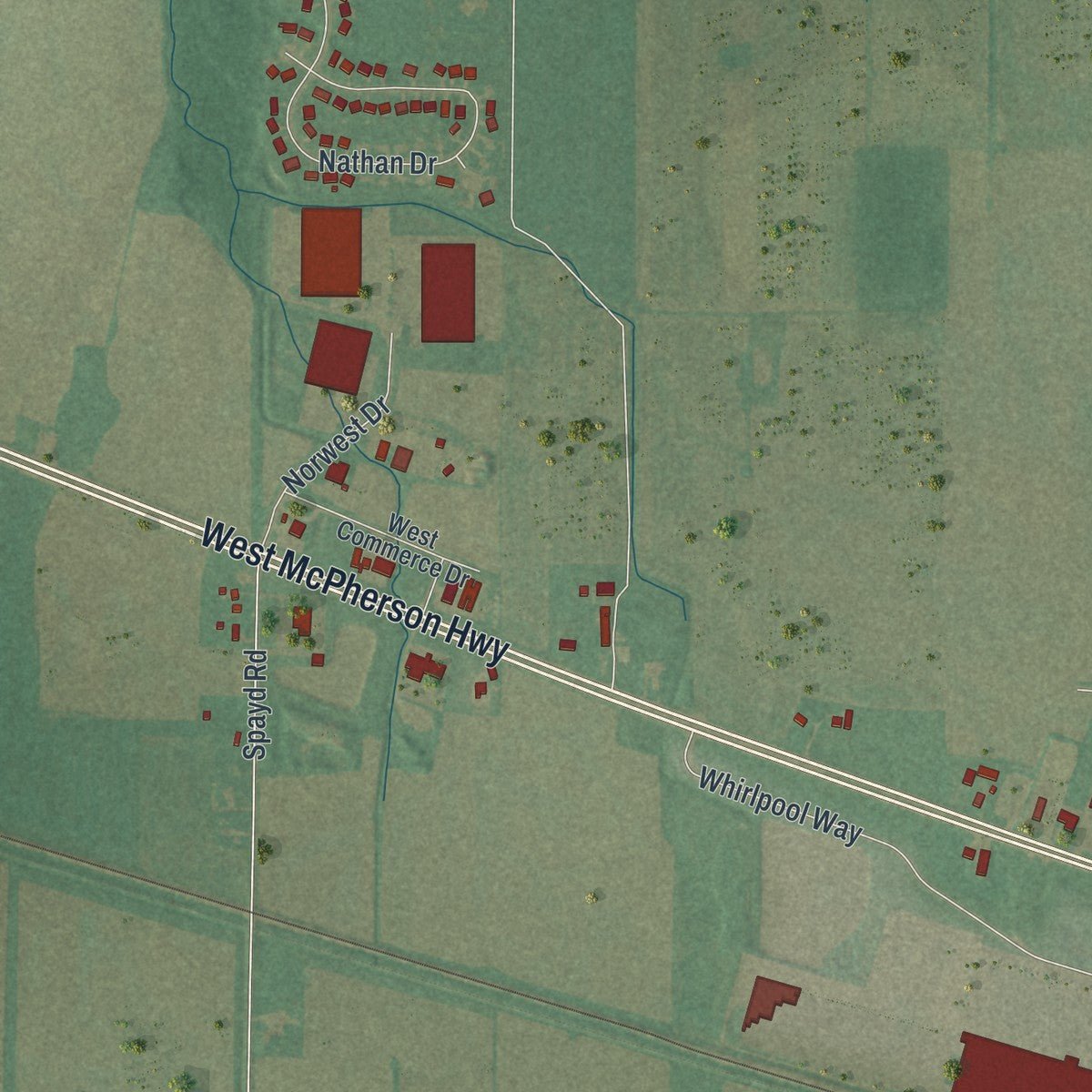
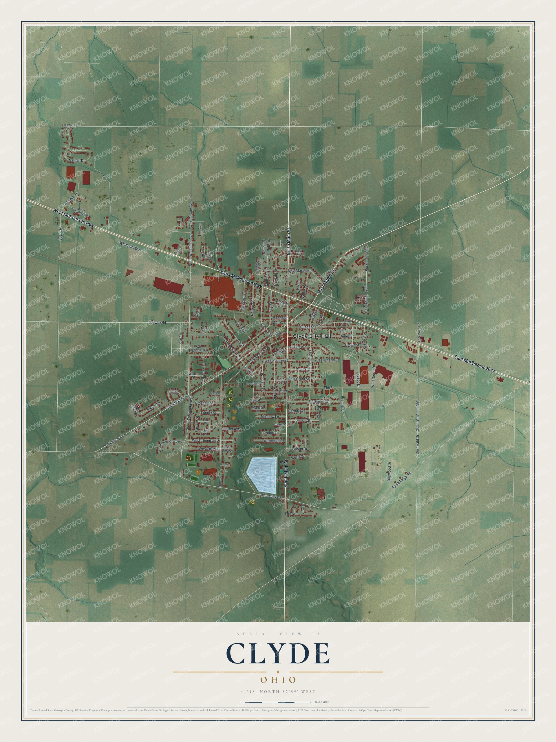
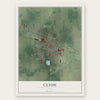
Explore Clyde, Ohio from a whole new perspective. Created using aerial imagery and detailed geographic data, this map captures Clyde building by building, with labeled streets, familiar landmarks, and shaded topographical relief that highlights the natural contours of the landscape.
Combining modern data with the timeless character of a vintage atlas, this map is just as interesting up close as it is beautiful on the wall. Whether you grew up in Clyde, spent memorable years there, or call it home today, this unique map is a great way to celebrate a place that means something to you. Zoom in on the preview to look for your street, and then order a print to put your memories on the wall.
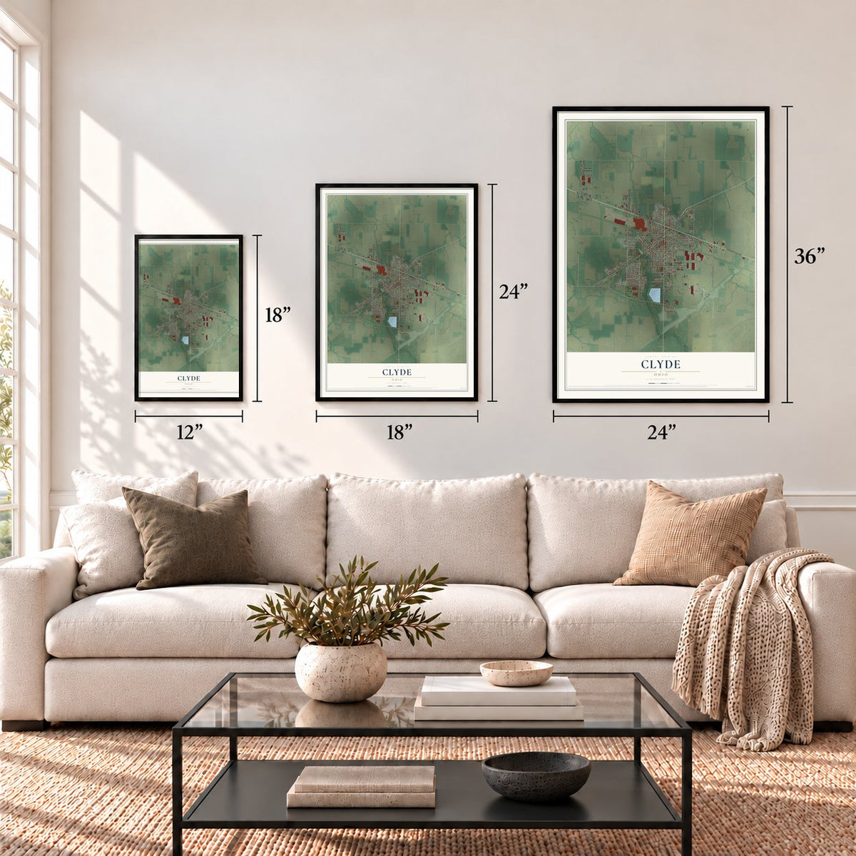
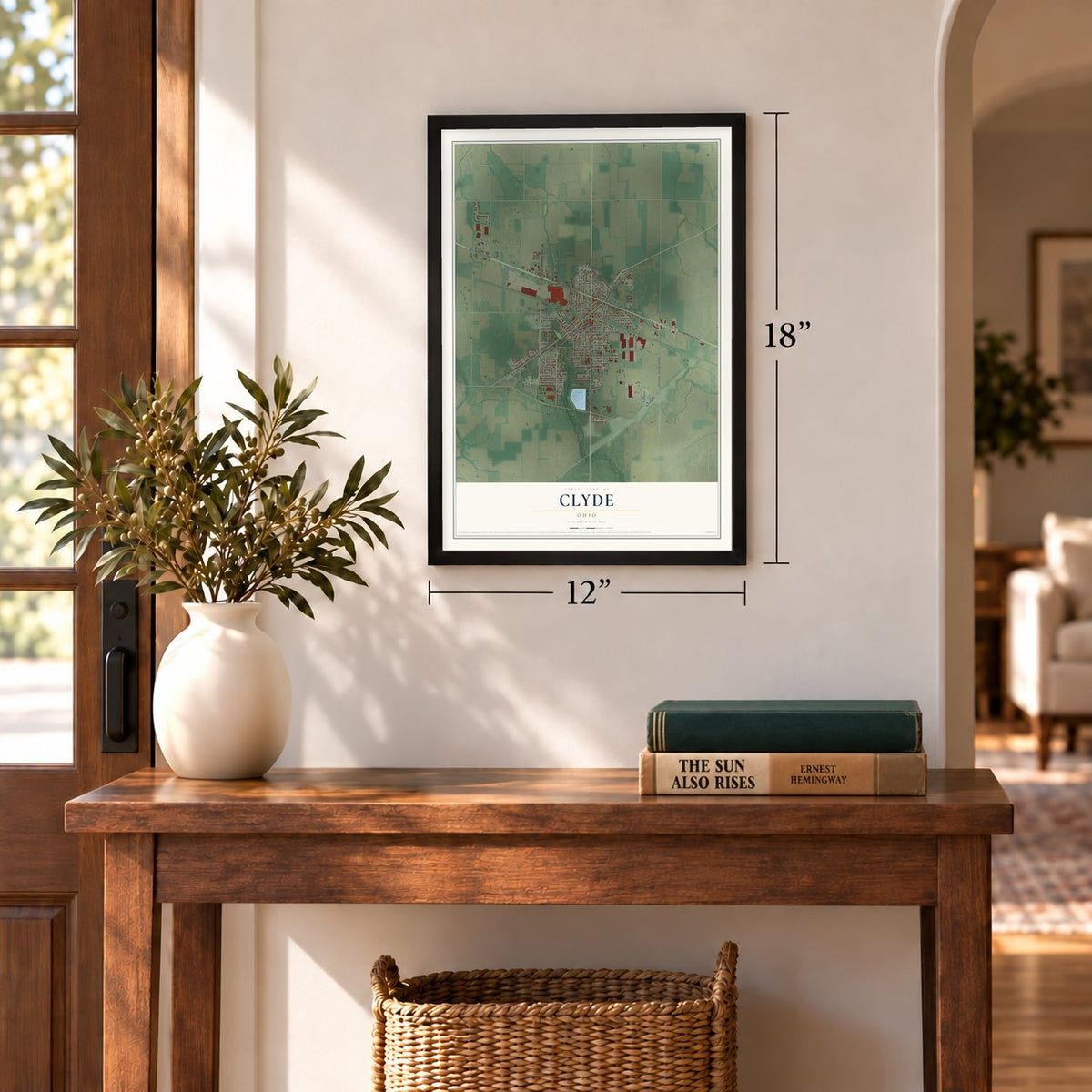
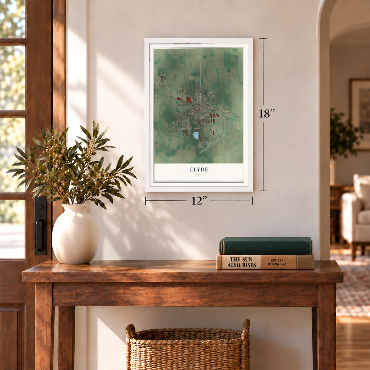
Three ways to hang it
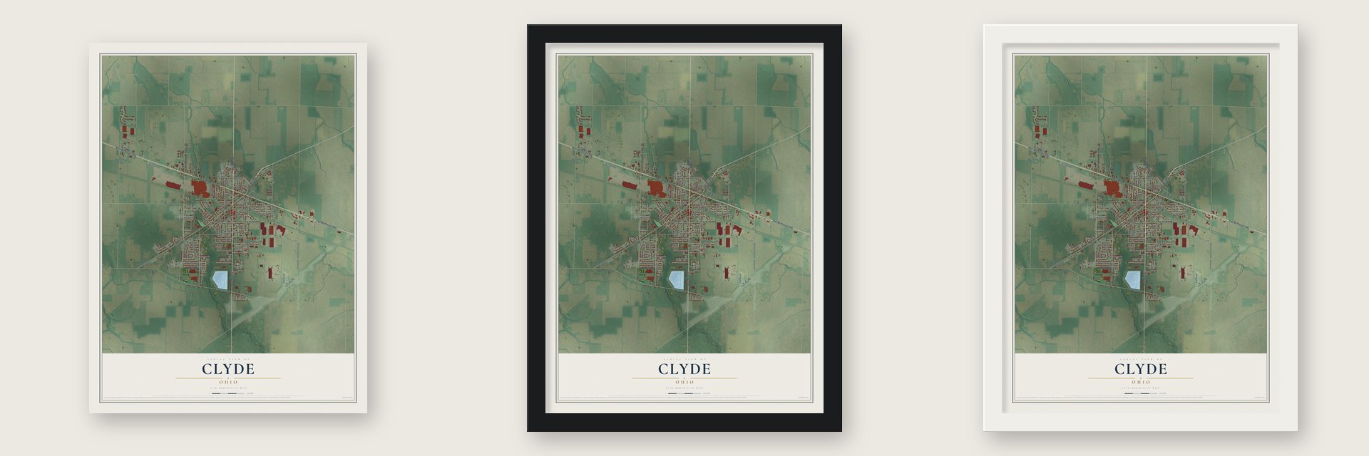
Unframed archival matte, a black wood frame or a white wood frame.
Up close
Geography Worth Displaying
This map was created using accurate cartographic data and authoritative geographic sources, including the U.S. Geological Survey and the Census Bureau. The map brings together terrain, waterways, roads, and building detail. The majority of the streets are labeled, houses are accurately depicted, and the topography is derived from government sources. Combining local data with carefully composed color and shading leads to this beautifully detailed Clyde artwork for your wall.
Rather than simply showing street outlines, we’ve included as many of the street names as we could reasonably fit on the map while keeping their names legible. Zoom in on the high resolution preview to see exactly what’s on the map. We truly set out to create a statement piece for anyone who loves Clyde. So whether it’s for you, or a gift for someone you love, we hope this map of Clyde brings back fond memories.
Find your street
Names on the Clyde map
Every name below is printed on this map. Look for your street, your school, the park where you played, or the pond down the road.
Places and landmarks1
- Clyde City Hall
Streets and roads114
- North Main Street
- South Main Street
- East McPherson Highway
- West McPherson Highway
- East Maple Street
- West Maple Street
- County Highway 179
- Spring Street
- Twp Highway 246
- Limerick Road
- North Woodland Avenue
- South County Road 260
- Yorktown Road
- Elm Street
- Vine Street
- Durnwald Drive
- Race Street
- Premier Drive
- South Church Street
- Whirlpool Way
- Nathan Drive
- Burkholder Road
- County Highway 1250
- West Buckeye Street
- Duane Street
- George Street
- North Mulberry Street
- South Woodland Avenue
- Amanda Street
- Fairhome Avenue
Show all 114 streets
- East Cherry Street
- Hamer Street
- Spayd Road
- East Mason Street
- South Street
- West Cherry Street
- Ames Street
- South Ridge Road
- Spring Avenue
- Dewey Road
- Fair Street
- Arch Street
- Norwest Drive
- Mechanic Street
- Ott Street
- East Street
- East Grant Street
- Elmdale Avenue
- Fox Avenue
- Bertha Avenue
- West Thomson Drive
- Warnecke Drive
- Nelson Street
- Dogwood Drive
- Lemon Street
- Birdseye Street
- Parker Avenue
- Meadow Lane
- Farnum Street
- Midvale Avenue
- West Drew Lane
- North Street
- Hickory Street
- Prospect Street
- Brown Street
- Lynber Lane
- Resco Drive
- Watertower Drive
- Wilson Drive
- Norris Drive
- Yost Street
- Liberty Street
- Pfieffer Avenue
- Merlin Lane
- Suffolk Drive
- Helen Street
- Lee Avenue
- East Forest Street
- White Street
- Woodhaven Crescent
- North Church Street
- West Commerce Drive
- Parkway Avenue
- Marleen Drive
- Paula Drive
- West Merlin Lane
- Twp Highway 343
- Railroad Street
- Vicki Avenue
- West Forest Street
- Eaton Avenue
- Walnut Street
- Coe Avenue
- Grand Avenue
- Toni Drive
- East Drew Lane
- Caleb Street
- Ohio Street
- South Mulberry Street
- Mobile Homes Ests
- Orchard Grove Drive
- Floyd Street
- Percheron Drive
- Washington Avenue
- West Grant Street
- Bookmyer Road
- Anderson Avenue
- Ridgeview Street
- Shire Drive
- Homestead Street
- Manhattan Avenue
- Cherry Knoll
- Andrea Drive
- Gregory Court
Names are listed as they appear on the printed map. Zoom into the product photos to find them.
About Clyde, Ohio
Clyde is a city of 6,294 people in Sandusky County, about 8 miles southeast of Fremont. During the War of 1812, Samuel Pogue drove a stake beside a spring on the west side of what is now Clyde, meaning to settle there once peace came. When he returned in 1820 to claim the land, Jesse Benton had already built a cabin on it, which is why Benton is counted as the first settler.
Benton soon handed his claim over to Pogue in exchange for a barrel of whiskey, and Pogue lived in Benton's cabin until his death in 1828. The little settlement was then known as Hamer's Corners. It later took the name Clyde from Clyde, New York.
- General McPherson's hometownJames Birdseye McPherson, born at Hamer's Corners on November 14, 1828, went to work in Green Springs at 13. First in his West Point class, he was Grant's Civil War choice to lead the Army of the Tennessee. He fell on July 22, 1864, in the fighting at Atlanta; no Union officer who died was younger or held a higher rank. He rests in McPherson Cemetery, and his house at 300 East McPherson Highway joined the National Register in 1974.
- The real Winesburg, OhioSherwood Anderson spent his boyhood in Clyde, 1884 to 1895. His 1919 book Winesburg, Ohio, stories based largely on Clyde and similar towns, became the best known of his 27 works. William Faulkner, Ernest Hemingway and John Steinbeck all learned from him. A state marker for Anderson stands at Clyde Railroad Plaza. In 1990 Clyde was the setting for the film Welcome Home, Roxy Carmichael, starring Winona Ryder.
- From early cars to washersIn the brass era, Clyde's Elmore Manufacturing Company built cars. General Motors bought Elmore in 1909 and moved production to Detroit in 1919. Louis Krebs left Elmore when GM took over and started a company, later the Clydesdale Motor Truck Company, taking over the empty GM site. Those buildings, by then owned by Clyde Porcelain Steel, burned on November 11, 1945. Whirlpool bought that firm in 1952, began making washing machines, and added the neighboring Bendix plant in 1954.
Keep exploring Ohio
Clyde is one of 1,389 Ohio towns we've mapped. Every dot on the map is a print of its own.
The search covers every state, Ohio first.
Near Clyde
Order 2 or more town maps and save 10%. Shown in the size and finish you picked above, so they hang as a set.
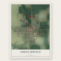
- Green Springs 12" x 18" / Archival Matte Print $39.99
- Vickery 12" x 18" / Archival Matte Print $39.99
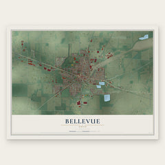
- Bellevue 12" x 18" / Archival Matte Print $39.99

More maps nearby: Fremont, Flat Rock, Ballville, Wightmans Grove and Stony Prairie.
The art of mapping a place
How This Map Was Made
Real places. Remarkable detail. Discover the layers that turn geographic data into a map of home.

The view from above
Aerial imagery reveals the character of the land: woodland, open fields, and the patterns of a place.

The shape of the land
Elevation data brings hills, valleys, and subtle changes in the landscape into view.

The details of home
Roads, waterways, and building footprints come together to make the map feel unmistakably local.

Geography becomes art
Considered color, shading, and typography bring the layers together in a map made for your wall.


Process illustrated with Mendon, Massachusetts. Aerial imagery: USDA NAIP. Terrain: USGS 3D Elevation Program. Map details and finished artwork: KNOWOL.
The Details
About This Print
Choose an archival matte print, or a black or white Ayous wood frame. The archival matte print is unframed.
Select your size and finish above to see the matching product image and price.
Materials & Craftsmanship
A contemporary map with the character of a classic atlas, printed on archival matte paper. Optional frames are made from Ayous wood.
Your printed map does not include the watermark shown in the full-map preview.
Shipping & Delivery
Free shipping within the United States. Every print is made to order in the USA.
Buying a gift? Add a note in your cart and we'll include it. We never put prices in the package.
Prints ship within 2 to 3 business days. Allow 7 to 10 days total from ordering for delivery. Timing may vary during holidays or periods of high order volume.
Read our shipping policy.
Returns and damaged prints
Each print is made to order. Change-of-mind refunds are not available after production.
If your print arrives damaged, misprinted or incorrect, contact support@knowol.com within 30 days of receiving it. Include your order number, photos and a description of the issue.
Read our full refund and replacement policy. For questions about your order, email support@knowol.com.