
Search for another town
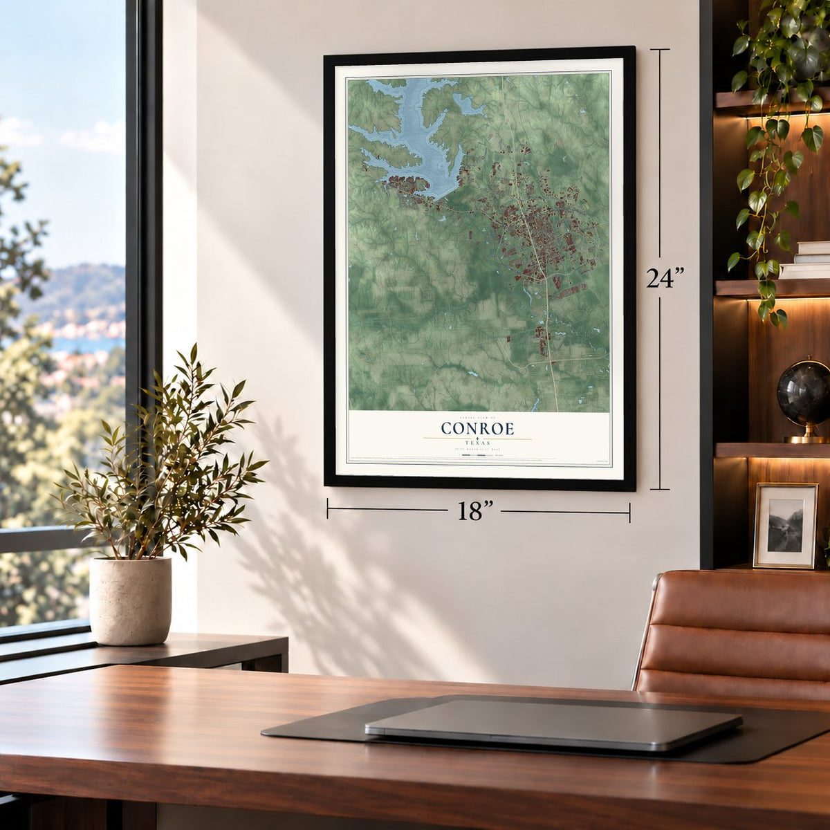
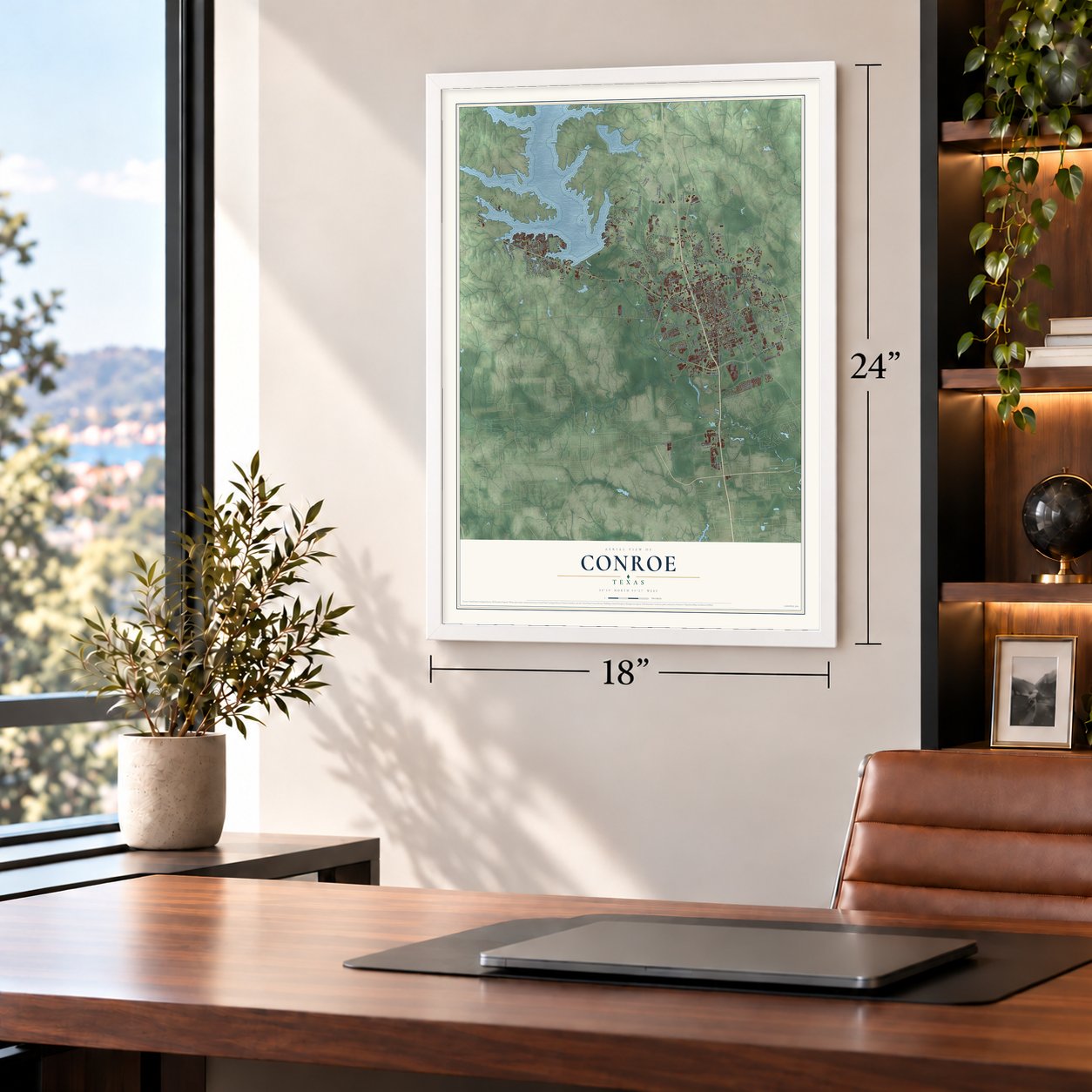
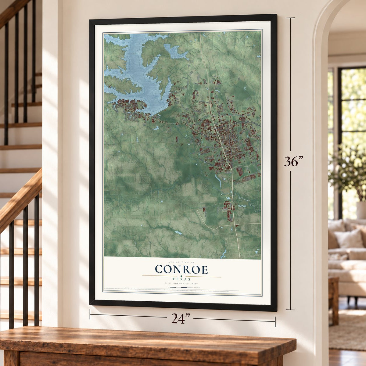
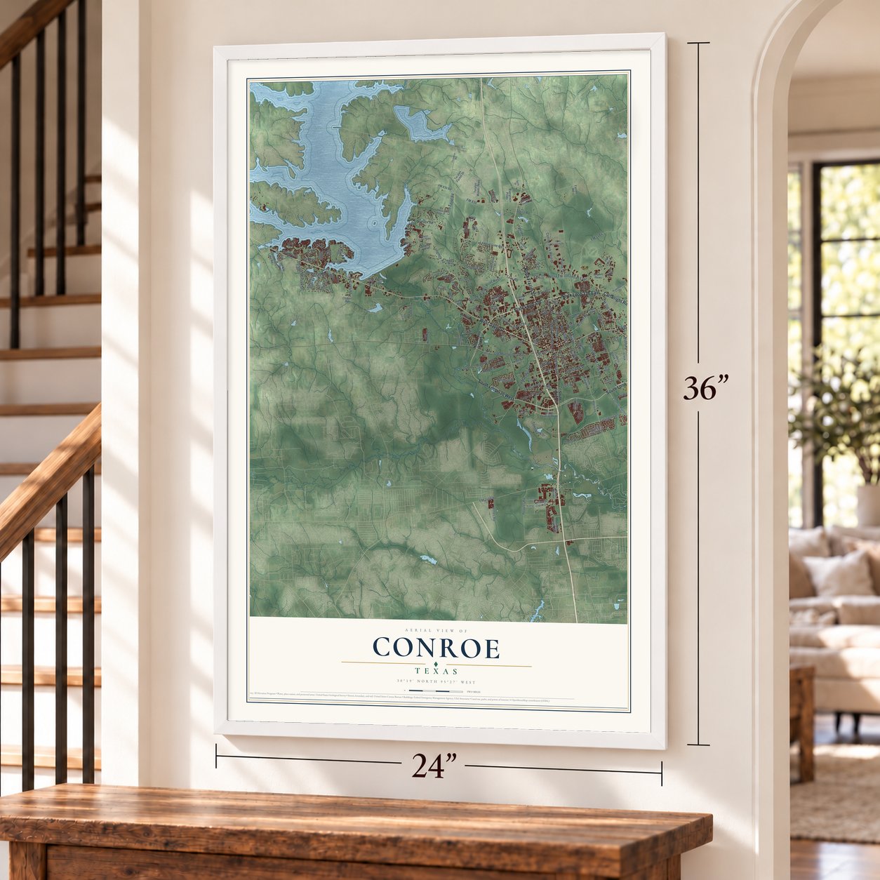
Free U.S. delivery 7 to 10 days after you order
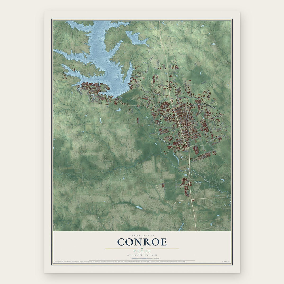
Conroe, Texas Map Art
Building by building, with labeled streets and shaded relief.
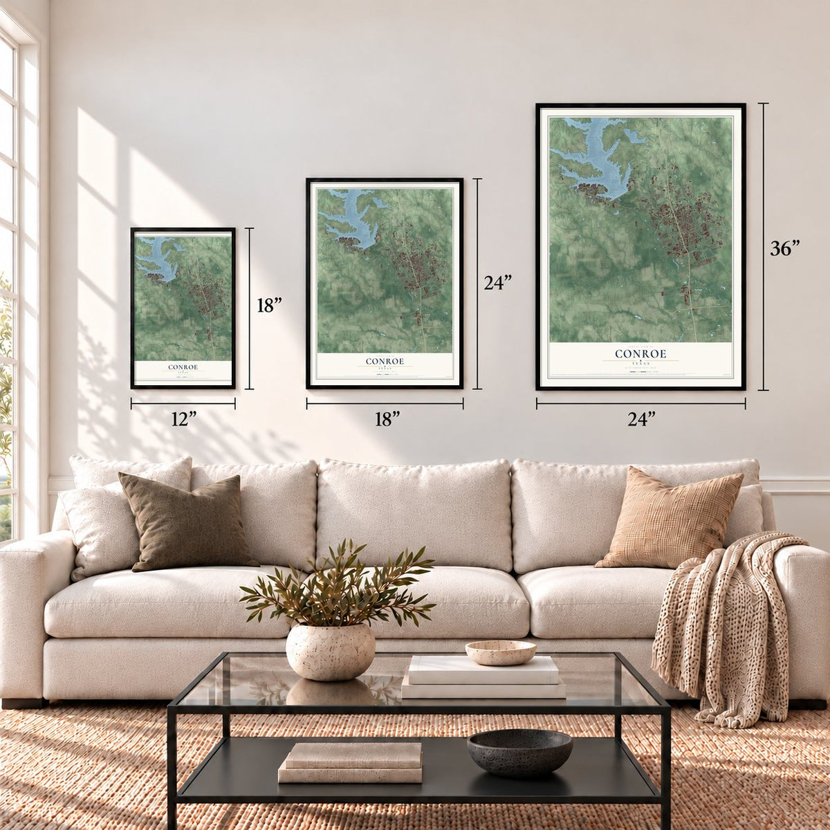
12" x 18" Archival Matte Print
A Map of Home. A Work of Art.
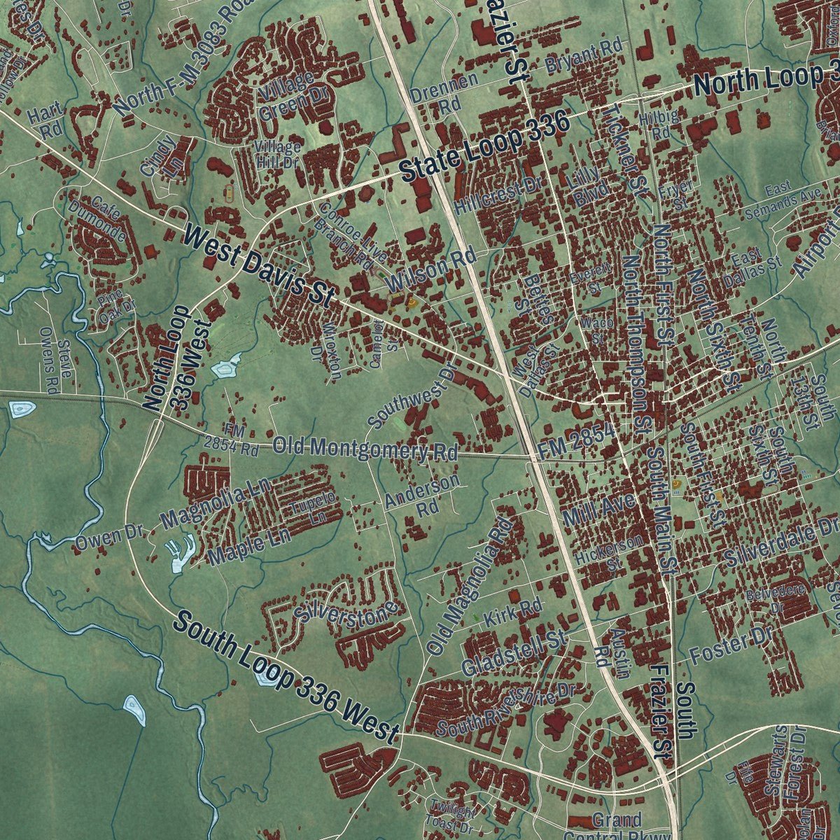
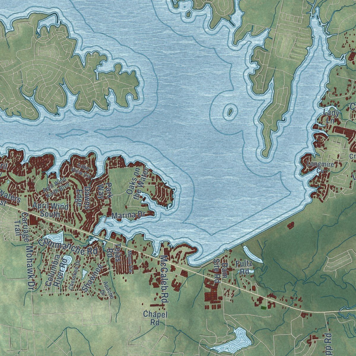
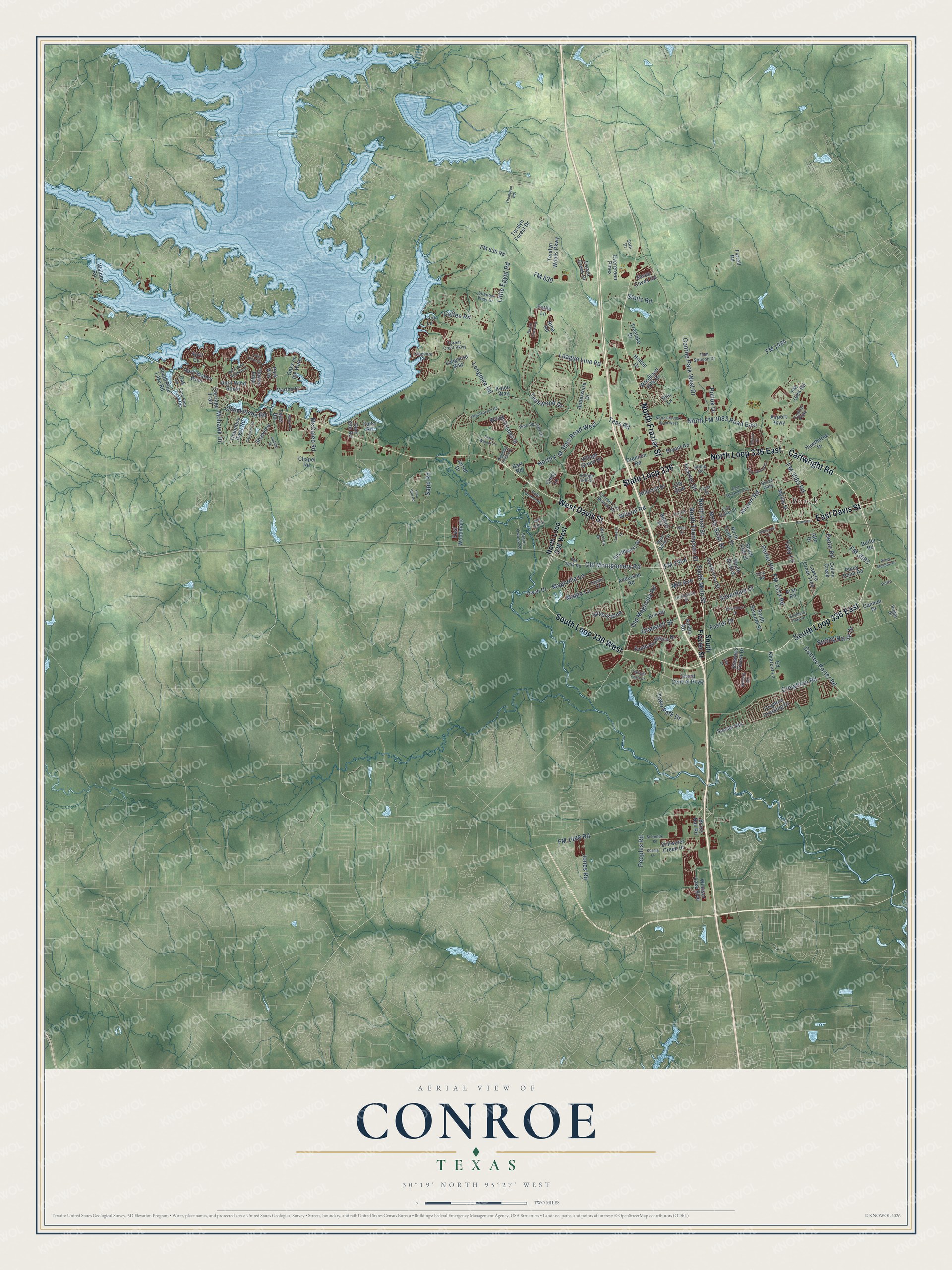
Explore Conroe, Texas from a whole new perspective. Created using aerial imagery and detailed geographic data, this map captures Conroe building by building, with labeled streets, familiar landmarks, and shaded topographical relief that highlights the natural contours of the landscape.
Combining modern data with the timeless character of a vintage atlas, this map is just as interesting up close as it is beautiful on the wall. Whether you grew up in Conroe, spent memorable years there, or call it home today, this unique map is a great way to celebrate a place that means something to you. Zoom in on the preview to look for your street, and then order a print to put your memories on the wall.
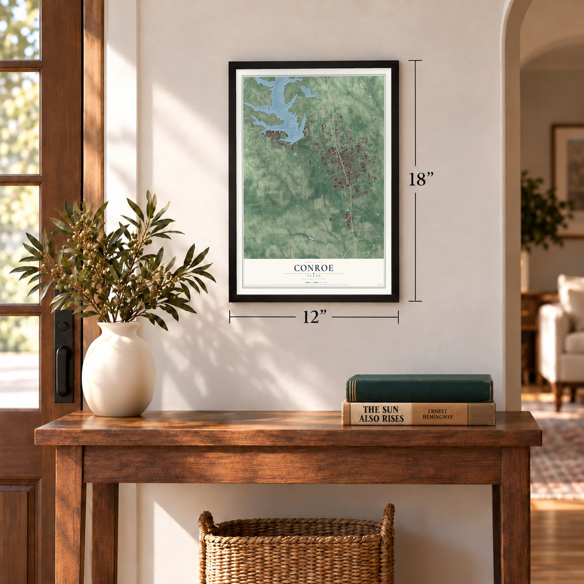
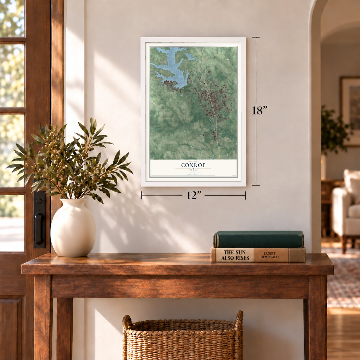
Three ways to hang it
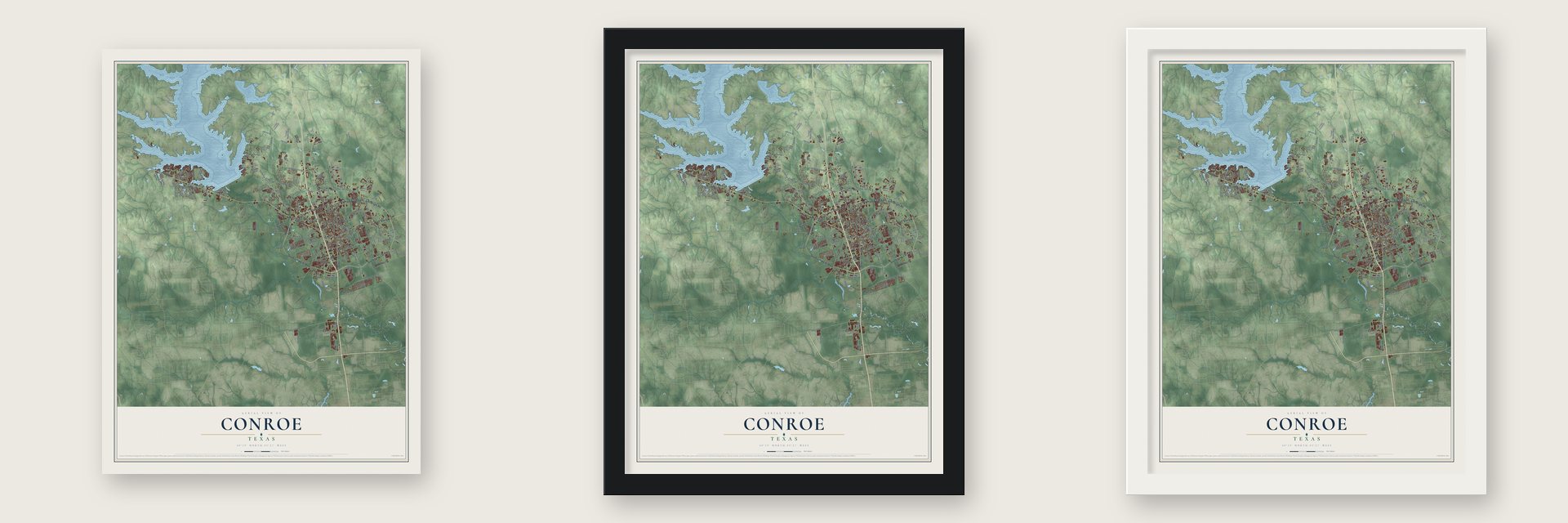
Unframed archival matte, a black wood frame or a white wood frame.
Up close
Geography Worth Displaying
This map was created using accurate cartographic data and authoritative geographic sources, including the U.S. Geological Survey and the Census Bureau. The map brings together terrain, waterways, roads, and building detail. The majority of the streets are labeled, houses are accurately depicted, and the topography is derived from government sources. Combining local data with carefully composed color and shading leads to this beautifully detailed Conroe artwork for your wall.
Rather than simply showing street outlines, we’ve included as many of the street names as we could reasonably fit on the map while keeping their names legible. Zoom in on the high resolution preview to see exactly what’s on the map. We truly set out to create a statement piece for anyone who loves Conroe. So whether it’s for you, or a gift for someone you love, we hope this map of Conroe brings back fond memories.
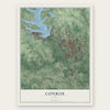
Find your street
Names on the Conroe map
Every name below is printed on this map. Look for your street, your school, the park where you played, or the pond down the road.
Places and landmarks1
- Beach
Streets and roads185
- State Loop 336
- South Loop 336 East
- North Frazier Street
- South Loop 336 West
- North Loop 336 East
- West Davis Street
- Cartwright Road
- East Davis Street
- Longmire Road
- FM 1484
- Old Montgomery Road
- League Line Road
- FM 1314 Road
- FM 3083
- FM 3083 Road
- FM 2854
- Airport Road
- Old Magnolia Road
- Creighton Road
- FM 1488 Road
- FM 830
- Silverdale Drive
- North Thompson Street
- Peoples Road
- Conroe Porter Road
- North FM 3083 Road East
- North F-M 3083 Road West
- North First Street
- Wilson Road
- Teaswood Drive
Show all 185 streets
- Town Park Drive
- Conroe Park West Drive
- Pollok Drive
- Foster Drive
- Gladstell Street
- Porter Road
- Jones Road
- Little Egypt Road
- Steitz Road
- Silverstone
- Strong Horse Drive
- McCaleb Road
- Teas Road
- Commanche Road
- North Sixth Street
- Sapp Road
- South Main Street
- Maple Lane
- Calfee Road
- Magnolia Lane
- Mohawk Drive
- Mill Avenue
- Tickner Street
- Defor Road
- Toby Lane
- South Frazier Street
- North Loop 336 West
- Grand Central Parkway
- Teralyn Woods Parkway
- Seven Coves Road
- South First Street
- South Seventh Street
- Ladera Creek Trce
- Hawthorne Drive
- South Rivershire Drive
- Longmire Way
- Hillcrest Drive
- Dawns Edge
- Walden Road
- Teralyn Forest Drive
- Marina Drive
- Woods Estates Drive
- Stillwater Creek Drive
- April Wind South
- April Waters West
- Hilltop Drive
- South Pine Lake Road
- Village Green Drive
- Southwest Drive
- Windsor Lake Boulevard
- Ed Kharbat Lane
- Drennen Road
- Shawnee
- Treelake Drive
- Columbia River Road
- Piney Point Road
- Airport Parkway
- FM 1484 Road
- Bryant Road
- Crighton Crossing Drive
- Stewarts Forest Drive
- South Sixth Street
- Woodland Hills Drive
- Evergreen Pines
- Tejas Road
- Park Way
- Colina Creek
- Jarrell Drive
- Kirk Road
- Oaks on the Water
- Andershire Drive
- Sunset Heights
- East Woodmark
- FM 830 Road
- Butler Road
- Anderson Road
- Carriage Trail
- April Cv
- Chapel Road
- Forest Creek Drive
- Oak Lane
- Owen Drive
- Nina Road
- Dam Site Road
- Cindy Lane
- Lilly Boulevard
- Brass Nail Road
- Mable Street
- Fultz Road
- Cannon Drive
- Bettes Street
- North Tenth Street
- Kaleo Way
- Austin Road
- South 13th Street
- Farrell Road
- Argo Road
- Hart Road
- Fettle Lane
- Lady Lane
- Hilo Lane
- Alto Drive
- FM 2854 Road
- West Dallas Street
- East Dallas Street
- Hilbig Road
- Conroe-Live Branch Road
- Pine Springs Drive
- Cafe Dumonde
- Tom Stinson Drive
- Tupelo Lane
- Wroxton Drive
- Forest Crest Parkway
- Longmire Cv
- Village Hill Drive
- Hickerson Street
- Shadow View Drive
- Doolan Drive
- East Pine Lake Circle
- Steve Owens Road
- Vine Road
- Central Parkway
- Broad Oaks
- Briggs Drive
- Pinto
- Fryer Street
- Sora Drive
- North FM 3083 Road West
- Briar Grove Drive
- Lake View Circle
- Schoettle Road
- Koenig Lane
- Twilight Toast Drive
- Jake Pearson Road
- Cherokee Drive
- East Semands Avenue
- April Wind North Boulevard
- Apache Drive
- Oxford Drive
- Piney Meadow Drive
- Thompson Road
- Belvedere Drive
- Industrial Lane
- Board Crossing
- Mesa Vw
- Pine Oak Drive
- Waco Street
- Highland Hollow Drive
- Black Walnut Court
- Branham
- Southern Oaks Drive
- Fife Drive
- Camelot Street
- Pine Still Road
- Everett Street
Names are listed as they appear on the printed map. Zoom into the product photos to find them.
About Conroe, Texas
Conroe, the seat of Montgomery County, grew from an 1881 sawmill settlement connected to major rail lines. Lumber shaped its early economy, while the 1931 discovery of oil brought a rapid revival during the Great Depression. The 2020 census counted 89,956 residents.
- Conroe's SwitchThe community adopted Conroe's Switch in 1884 to honor mill founder and first postmaster Isaac Conroe, then shortened the name within a decade.
- County Seat Since 1889Conroe replaced Montgomery as the county seat in 1889.
- Early SchoolsConroe Mill School began in 1886; a school for the Black community soon followed in Madeley Quarters south of town.
- Oil BoomGeorge W. Strake found oil seven miles southeast of Conroe on December 13, 1931, helping revive the local economy during the Great Depression.
- Crighton TheatreThe Crighton Theatre opened on the courthouse square in 1935 and now presents live productions after a 1979 renovation.
Keep exploring Texas
Conroe is one of 2,049 Texas towns we've mapped. Every dot on the map is a print of its own.
The search covers every state, Texas first.
Near Conroe
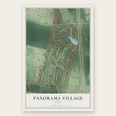
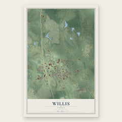
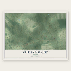
Order 2 or more town maps and save 10%. Shown in the size and finish you picked above, so they hang as a set.
- Panorama Village 12" x 18" / Archival Matte Print $39.99
- Willis 12" x 18" / Archival Matte Print $39.99
- Cut and Shoot 12" x 18" / Archival Matte Print $39.99
More maps nearby: Woodloch, Keenan, Shenandoah, Grangerland and Deerwood.
The art of mapping a place
How This Map Was Made
Real places. Remarkable detail. Discover the layers that turn geographic data into a map of home.

The view from above
Aerial imagery reveals the character of the land: woodland, open fields, and the patterns of a place.

The shape of the land
Elevation data brings hills, valleys, and subtle changes in the landscape into view.

The details of home
Roads, waterways, and building footprints come together to make the map feel unmistakably local.

Geography becomes art
Considered color, shading, and typography bring the layers together in a map made for your wall.


Process illustrated with Mendon, Massachusetts. Aerial imagery: USDA NAIP. Terrain: USGS 3D Elevation Program. Map details and finished artwork: KNOWOL.
The Details
About This Print
Choose an archival matte print, or a black or white Ayous wood frame. The archival matte print is unframed.
Select your size and finish above to see the matching product image and price.
Materials & Craftsmanship
A contemporary map with the character of a classic atlas, printed on archival matte paper. Optional frames are made from Ayous wood.
Your printed map does not include the watermark shown in the full-map preview.
Shipping & Delivery
Free shipping within the United States. Every print is made to order in the USA.
Buying a gift? Add a note in your cart and we'll include it. We never put prices in the package.
Prints ship within 2 to 3 business days. Allow 7 to 10 days total from ordering for delivery. Timing may vary during holidays or periods of high order volume.
Read our shipping policy.
Returns and damaged prints
Each print is made to order. Change-of-mind refunds are not available after production.
If your print arrives damaged, misprinted or incorrect, contact support@knowol.com within 30 days of receiving it. Include your order number, photos and a description of the issue.
Read our full refund and replacement policy. For questions about your order, email support@knowol.com.