
Search for another town

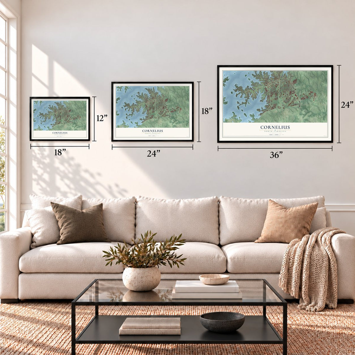
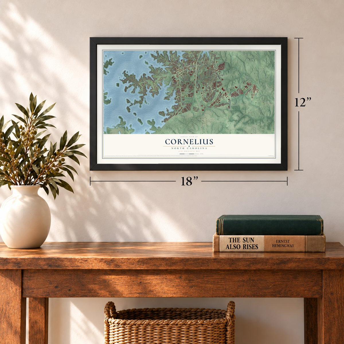
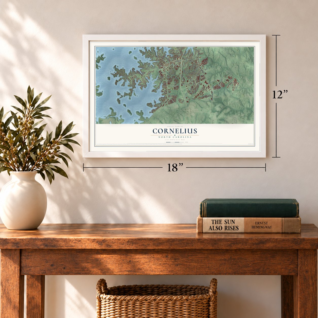
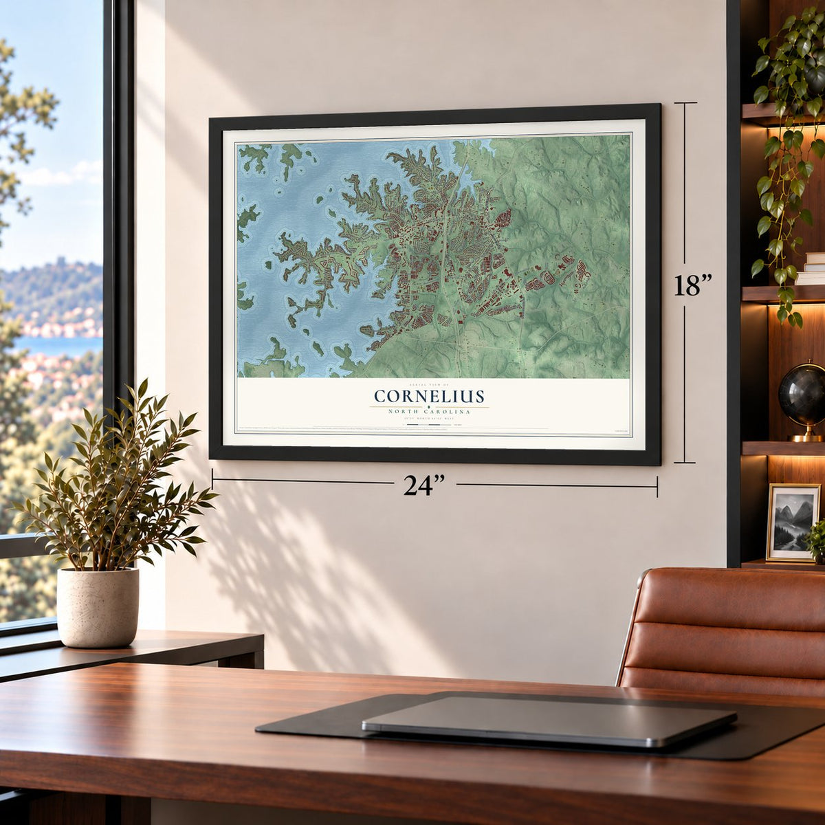


Free U.S. delivery 7 to 10 days after you order
Cornelius, North Carolina Map Art
A new map of Cornelius, North Carolina, made in 2026 and printed to order on thick archival matte paper.
12" x 18" Archival Matte Print
A Map of Home. A Work of Art.
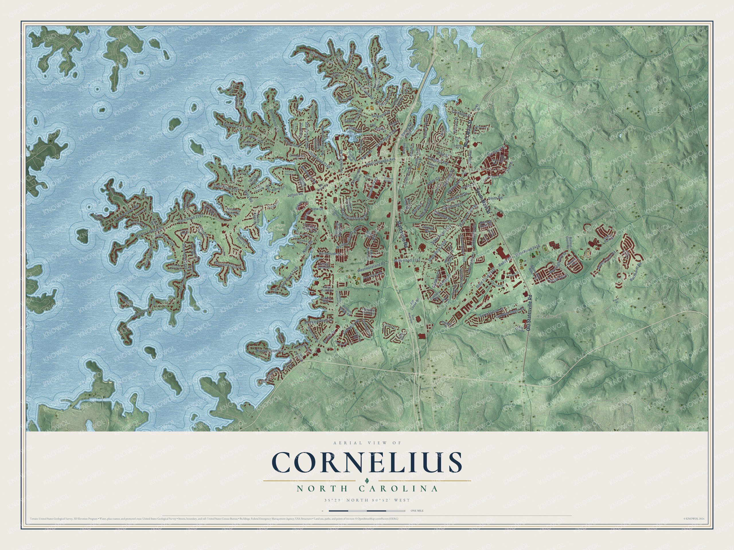
Explore Cornelius, North Carolina from a whole new perspective. Created using aerial imagery and detailed geographic data, this map captures Cornelius building by building, with labeled streets, familiar landmarks, and shaded topographical relief that highlights the natural contours of the landscape.
Combining modern data with the timeless character of a vintage atlas, this map is just as interesting up close as it is beautiful on the wall. Whether you grew up in Cornelius, spent memorable years there, or call it home today, this unique map is a great way to celebrate a place that means something to you. Zoom in on the preview to look for your street, and then order a print to put your memories on the wall.
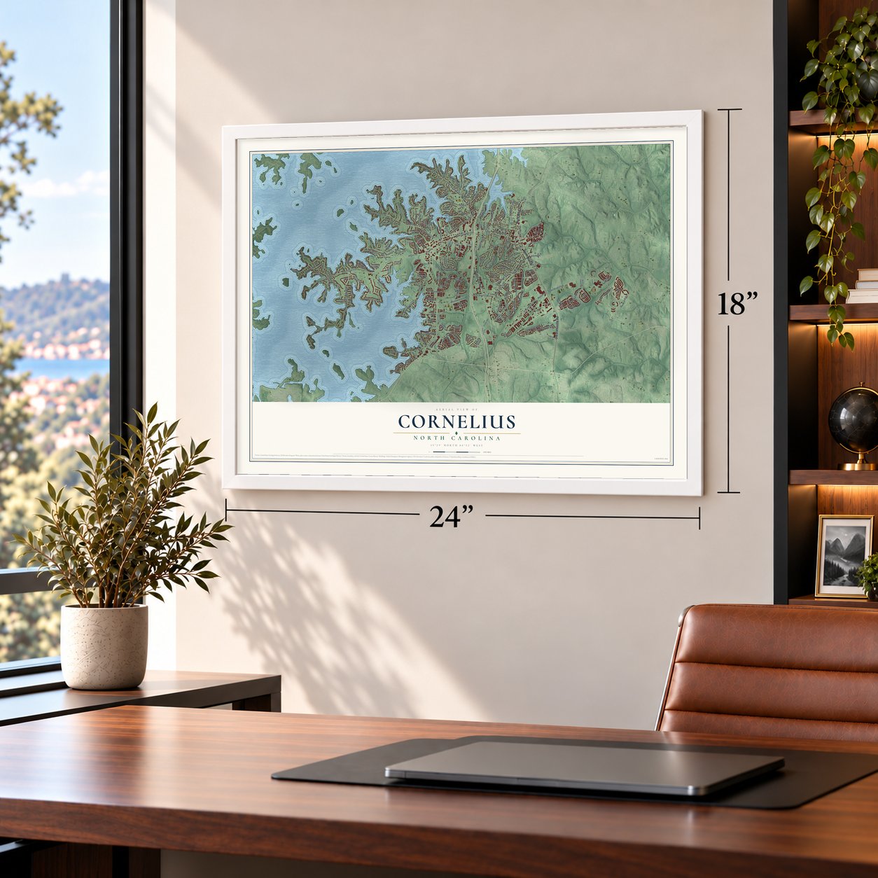
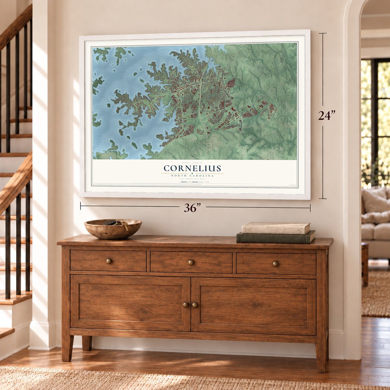
Three ways to hang it
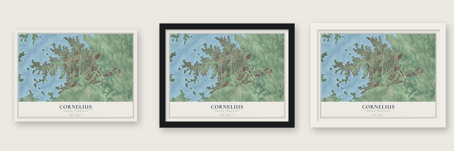
Unframed archival matte, a black wood frame or a white wood frame.
Up close
Geography Worth Displaying
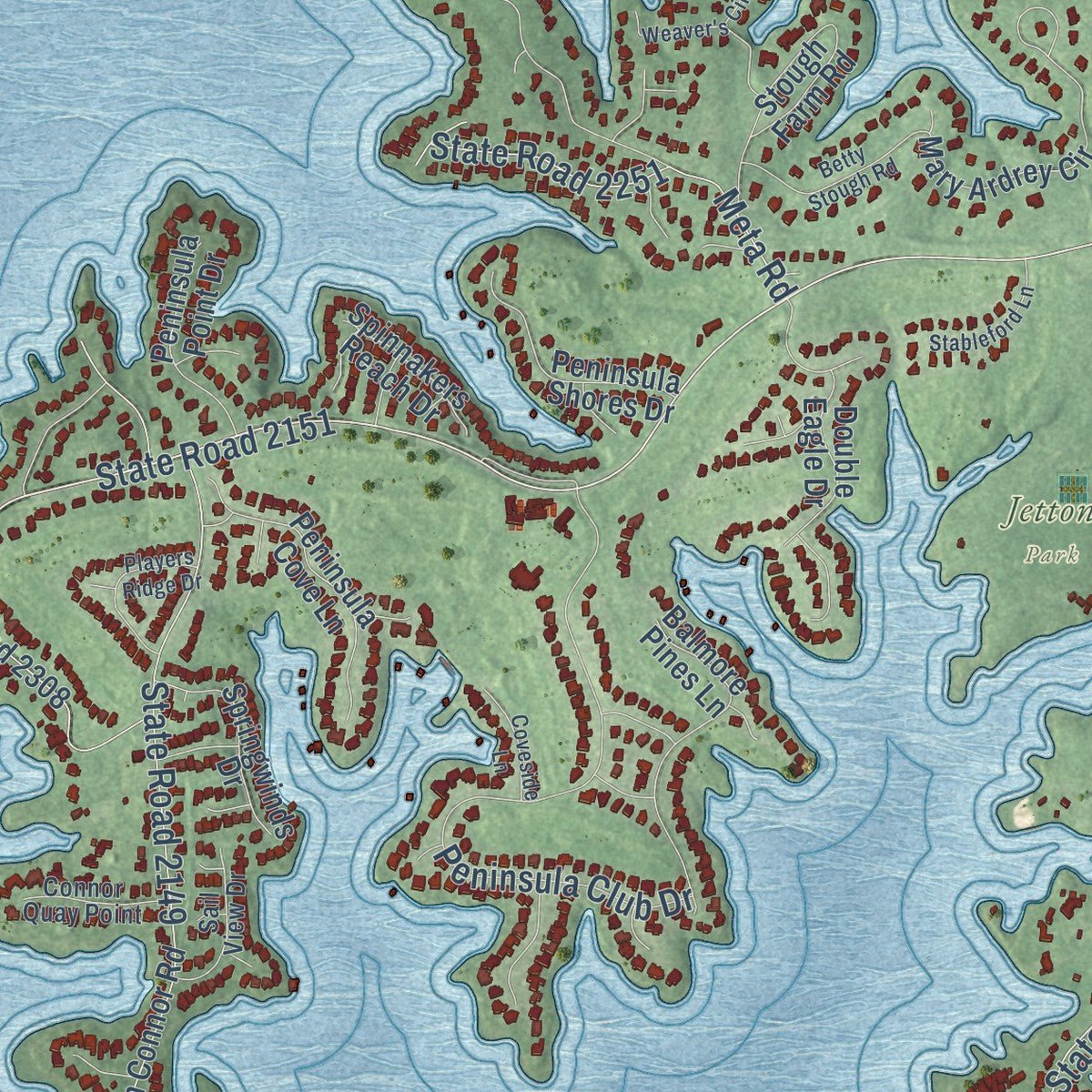
This map was created using accurate cartographic data and authoritative geographic sources, including the U.S. Geological Survey and the Census Bureau. The map brings together terrain, waterways, roads, and building detail. The majority of the streets are labeled, houses are accurately depicted, and the topography is derived from government sources. Combining local data with carefully composed color and shading leads to this beautifully detailed Cornelius artwork for your wall.
Rather than simply showing street outlines, we’ve included as many of the street names as we could reasonably fit on the map while keeping their names legible. Zoom in on the high resolution preview to see exactly what’s on the map. We truly set out to create a statement piece for anyone who loves Cornelius. So whether it’s for you, or a gift for someone you love, we hope this map of Cornelius brings back fond memories.
Read the story behind this map of Cornelius, North Carolina from 2026.

About Cornelius, North Carolina
Cornelius is a town of 31,412 people in northern Mecklenburg County, on the shore of Lake Norman about 20 miles north of Charlotte. People have lived in the area since at least the 1750s, but the town began in 1893, when an argument over the public scales used to weigh cotton led to a new settlement called Liverpool.
The town's first industry was a cotton mill. When Liverpool was incorporated on March 4, 1905, it took the name Cornelius to honor Joe B. Cornelius, who had put the most money into the mill as its chief investor and principal stockholder.
- Second youngest in the countyCornelius is the second youngest of the six incorporated towns in Mecklenburg County. It was founded as Liverpool in 1893 and became a legal town under its new name in 1905.
- From 2,600 to 31,412Cornelius had fewer than 2,600 people in the 1990 census. It grew by 364% over the next ten years, then reached 24,866 in 2010 and 31,412 in 2020 as it became a major suburb of Charlotte.
- A Hall of Famer, a heroAmong the town's notable people are Hoyt Wilhelm, a Major League pitcher in the National Baseball Hall of Fame, and Jerry K. Crump, a U.S. Army soldier who received the Medal of Honor for his service in the Korean War.
Find your street
Names on the Cornelius map
Every name below is printed on this map. Look for your street, your school, the park where you played, or the pond down the road.
Places and landmarks4
- Downtown
- Caldwell
- Smithville
- Jetton Park
Streets and roads206
- South Main Street
- North Main Street
- Statesville Road
- Old Statesville Road
- West Catawba Avenue
- Torrence Chapel Road
- Catawba Avenue
- Liverpool Parkway
- Old Canal Street
- Jetton Road
- Caldwell Depot Road
- State Road 2151
- Bailey Road
- State Road 2195
- Bethel Church Road
- State Road 2600
- Washam Potts Road
- State Road 2415
- State Road 2189
- Westmoreland Road
- State Road 2149
- Meetinghouse Drive
- Magnolia Estates Drive
- Coachmans Trce
- State Road 2147
- Belle Isle Drive
- Nantz Road
- State Road 2148
- Peninsula Club Drive
- Zion Avenue
Show all 206 streets
- Green Dolphin Lane
- Rio Oro Drive
- State Road 2416
- Harbor Light Boulevard
- Knox Road
- State Road 2159
- Victoria Bay Drive
- Norman Island Drive
- Glenashley Drive
- Schooner Drive
- Church Street
- Danesway Lane
- Meta Road
- Ruffner Drive
- Bethelwood Lane
- Lagoona Drive
- Harborside Drive
- Smith Circle
- Westmoreland Lake Drive
- State Road 2251
- Train Station Drive
- Camberly Road
- Norman Colony Road
- Meridian Street
- Vineyard Point Lane
- Floral Lane
- Cadman Court
- State Road 2414
- Windaliere Drive
- Barnhardt Road
- Kanawha Drive
- State Road 2059
- Conistan Place
- Town Harbour Road
- Aftonshire Drive
- Doves Crest Road
- Coulter Parkway
- Sandy Cove Road
- Pine Ridge Drive
- Kenton Drive
- Smith Road
- South Hill Street
- Townwood Drive
- Pine Street
- Henderson Road
- Northcove Road
- Country Club Drive
- Mollypop Lane
- Cornelius Street
- Harbor View Drive
- Decora Drive
- Fidler Lane
- Baltic Drive
- Lake Pines Drive
- Holiday Lane
- South Street
- Calverton Road
- John Connor Road
- Norman Shores Drive
- State Road 2157
- State Road 2308
- Heritage Green Drive
- Island Forest Drive
- Mary Ardrey Circle
- Oakhurst Boulevard
- Rosalyn Glen Road
- One Norman Boulevard
- Nautique Boulevard
- Harken Drive
- Willow Pond Road
- Balmore Pines Lane
- Stough Farm Road
- Crown Lake Drive
- Blakely Shores Drive
- Beard Street
- Peninsula Cove Lane
- Jim Cooke Road
- Willow Leaf Lane
- Pennington Drive
- Makayla Lane
- Peninsula Shores Drive
- Sterling Bay Lane West
- Glenmeade Road
- Cold Spring Lane
- Waterview Drive
- Mariner Cove Drive
- Southshore Drive
- Flying Jib Road
- Edinburgh Square Drive
- Psalms Street
- Springwinds Drive
- Peninsula Point Drive
- Preserve Pond Drive
- Bailey Park Nature Drive
- Deer Valley Drive
- Avery Park Drive
- Colony Point Lane
- Double Eagle Drive
- Hickory Street
- Squires Way
- Village Harbor Drive
- Courtside Landing Drive
- Field Street
- Kings Point Drive
- Spinnakers Reach Drive
- Tailwind Lane
- Yawl Road
- Robbins Ridge Road
- South Ferry Street
- Baileys Glenn Bv
- Barcica Lane
- Casual Cay Lane
- Quarrier Drive
- Burton Lane
- Sedona Way
- Nevile Avenue
- Largo Place
- Potts Street
- Kyle Lane
- State Road 2145
- Charles Towne Lane
- Dunmore Drive
- School Street
- Rainbow Circle
- Robbins Crescent Drive
- Lovers Lawn Terrace
- Delmas Drive
- Balboa Drive
- Queensdale Drive
- Country Club Lane
- Satilla Drive
- Oak Street
- Starcreek Drive
- Riverchase Drive
- Sail View Drive
- Yachtman Drive
- Long Pond Lane
- Connor Quay Point
- Sierra Vista Drive
- Will Knox Road
- Brookgreen Garden Place
- Old Jetton Road
- Spring Street
- Academy Street
- Harroway Drive
- Forest Shadow Circle
- State Road 2146
- State Road 2302
- State Road 2301
- John Gamble Road
- Betty Stough Road
- Heartland Street
- Deep Cove Court
- Summerbrook Drive
- Serenity Point Lane
- Players Ridge Drive
- Square Sail Road
- Sefton Park Road
- Stableford Lane
- Reese Finley Lane
- Chartwell Center Drive
- Brigadoon Place
- Weaver's Circle
- Treynorth Drive
- Coveside Lane
- Alto Terra Drive
- North Ferry Street
- Legion Street
- Bascom Ridge Drive
- Talleys Way
- Shadow Bark Drive
- Enclave Oaks Court
- Renick Drive
- Ducati Lane
- Carlow Road
- Mayes Road
Names are listed as they appear on the printed map. Zoom into the product photos to find them.
The art of mapping a place
How This Map Was Made
Real places. Remarkable detail. Discover the layers that turn geographic data into a map of home.

The view from above
Aerial imagery reveals the character of the land: woodland, open fields, and the patterns of a place.

The shape of the land
Elevation data brings hills, valleys, and subtle changes in the landscape into view.

The details of home
Roads, waterways, and building footprints come together to make the map feel unmistakably local.

Geography becomes art
Considered color, shading, and typography bring the layers together in a map made for your wall.


Process illustrated with Mendon, Massachusetts. Aerial imagery: USDA NAIP. Terrain: USGS 3D Elevation Program. Map details and finished artwork: KNOWOL.
The Details
About This Print
Choose an archival matte print, or a black or white Ayous wood frame. The archival matte print is unframed.
Select your size and finish above to see the matching product image and price.
Materials & Craftsmanship
A contemporary map with the character of a classic atlas, printed on archival matte paper. Optional frames are made from Ayous wood.
Your printed map does not include the watermark shown in the full-map preview.
Shipping & Delivery
Free shipping within the United States. Every print is made to order in the USA.
Buying a gift? Add a note in your cart and we'll include it. We never put prices in the package.
Prints ship within 2 to 3 business days. Allow 7 to 10 days total from ordering for delivery. Timing may vary during holidays or periods of high order volume.
Read our shipping policy.
Returns and damaged prints
Each print is made to order. Change-of-mind refunds are not available after production.
If your print arrives damaged, misprinted or incorrect, contact support@knowol.com within 30 days of receiving it. Include your order number, photos and a description of the issue.
Read our full refund and replacement policy. For questions about your order, email support@knowol.com.
Find your town
Looking for another city?
Find a map of home in our North Carolina collection, or any town in the country.
Nearby
Maps of towns near Cornelius
Know someone from one of these towns? Their map makes a great gift.
 Davidson
, North Carolina
From $39.99See the map
 Huntersville
, North Carolina
From $39.99See the map
 Lake Norman of Iredell
, North Carolina
From $39.99See the map
More maps nearby: Westport, Lowesville, Mooresville, Denver and Lake Norman of Catawba.