
Search for another town




Free U.S. delivery 7 to 10 days after you order
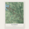
Davidson, North Carolina Map Art
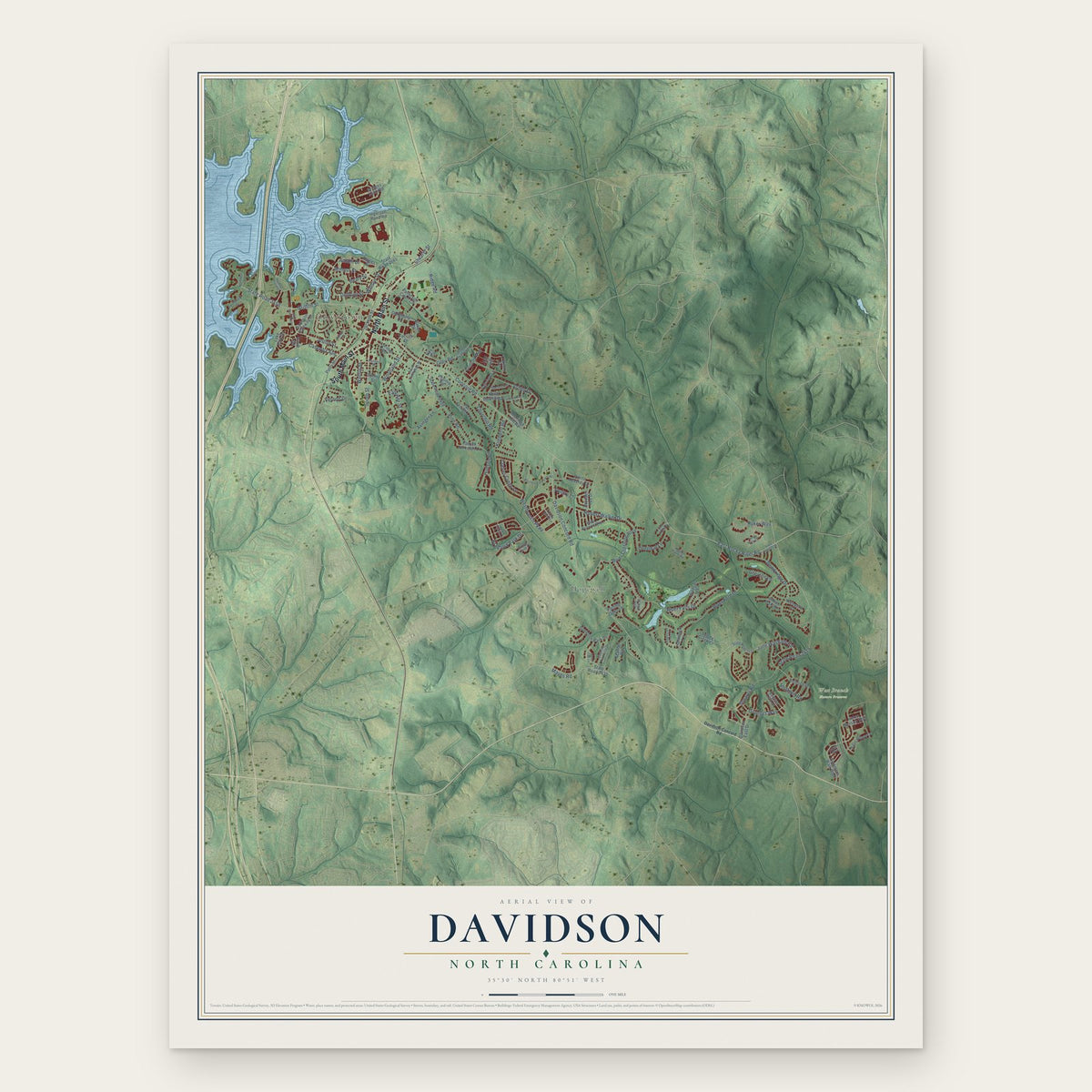
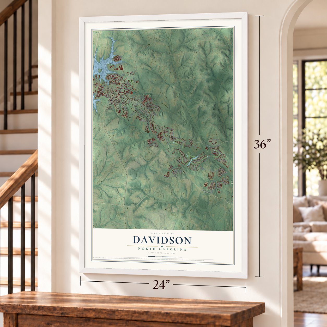
A new map of Davidson, North Carolina, made in 2026 and printed to order on thick archival matte paper.
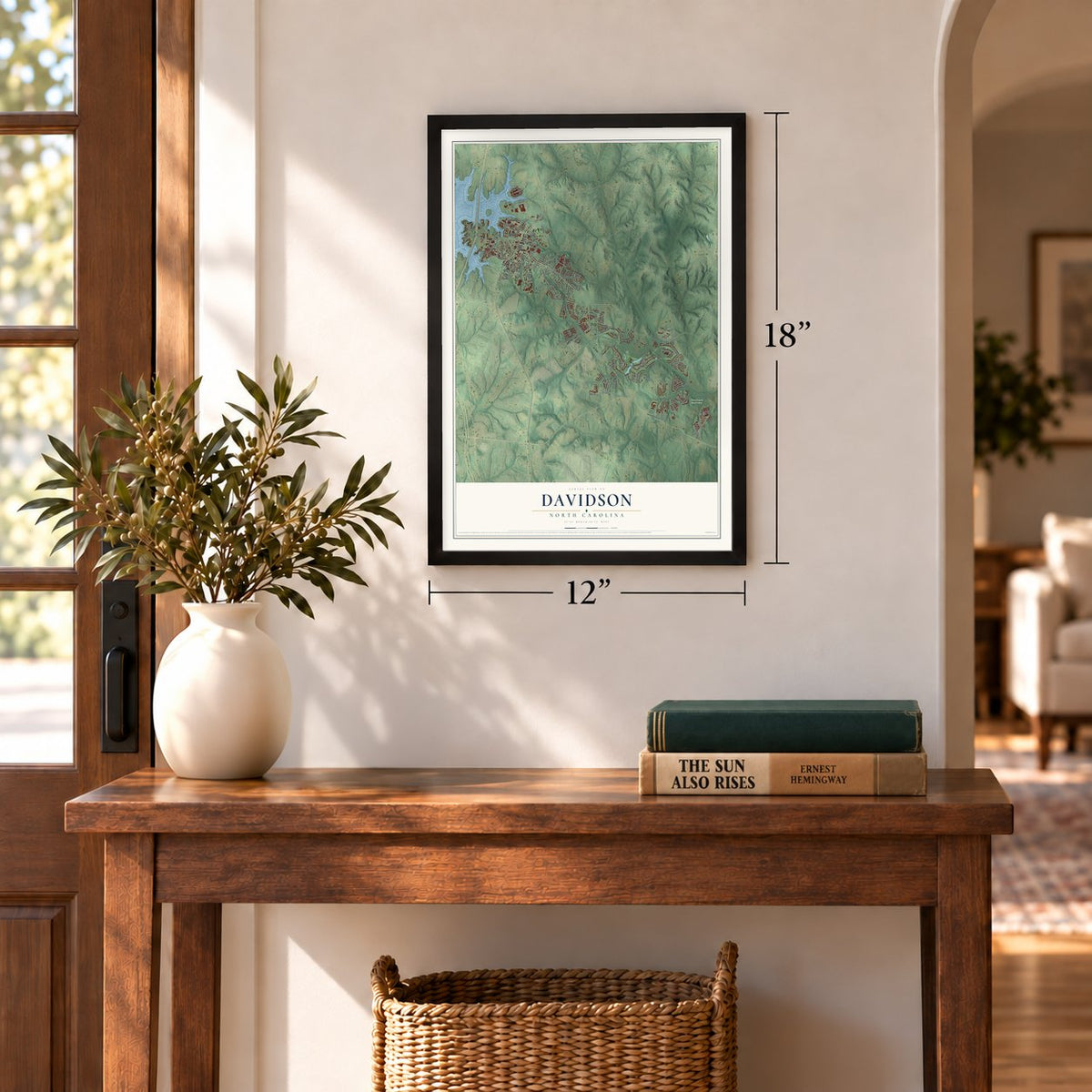
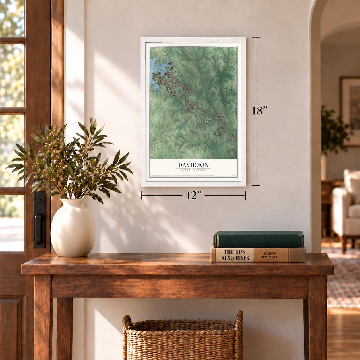
12" x 18" Archival Matte Print
A Map of Home. A Work of Art.
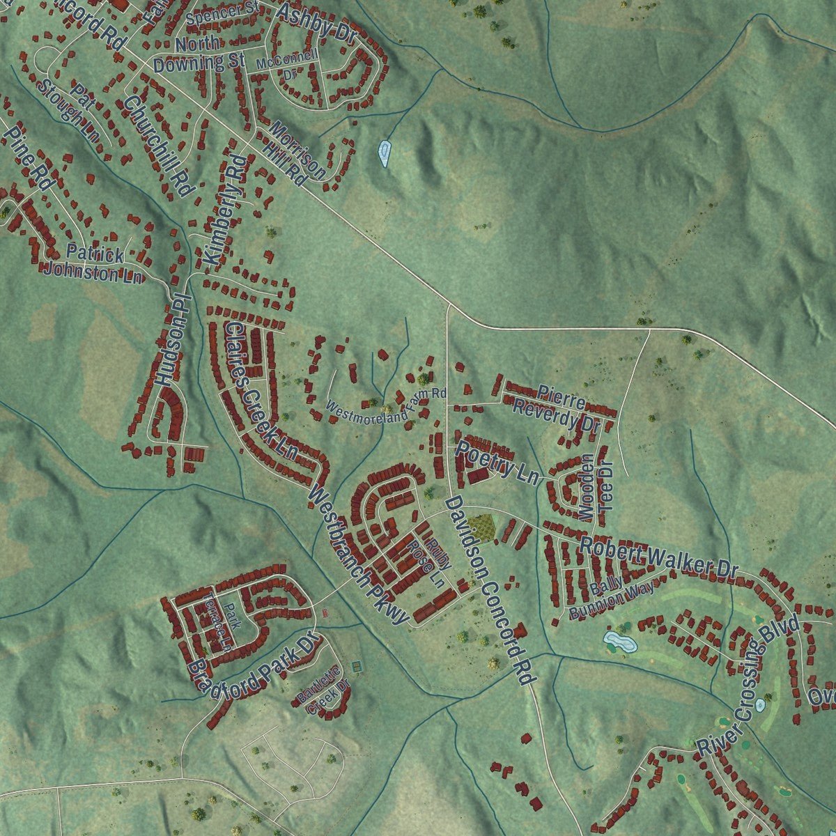
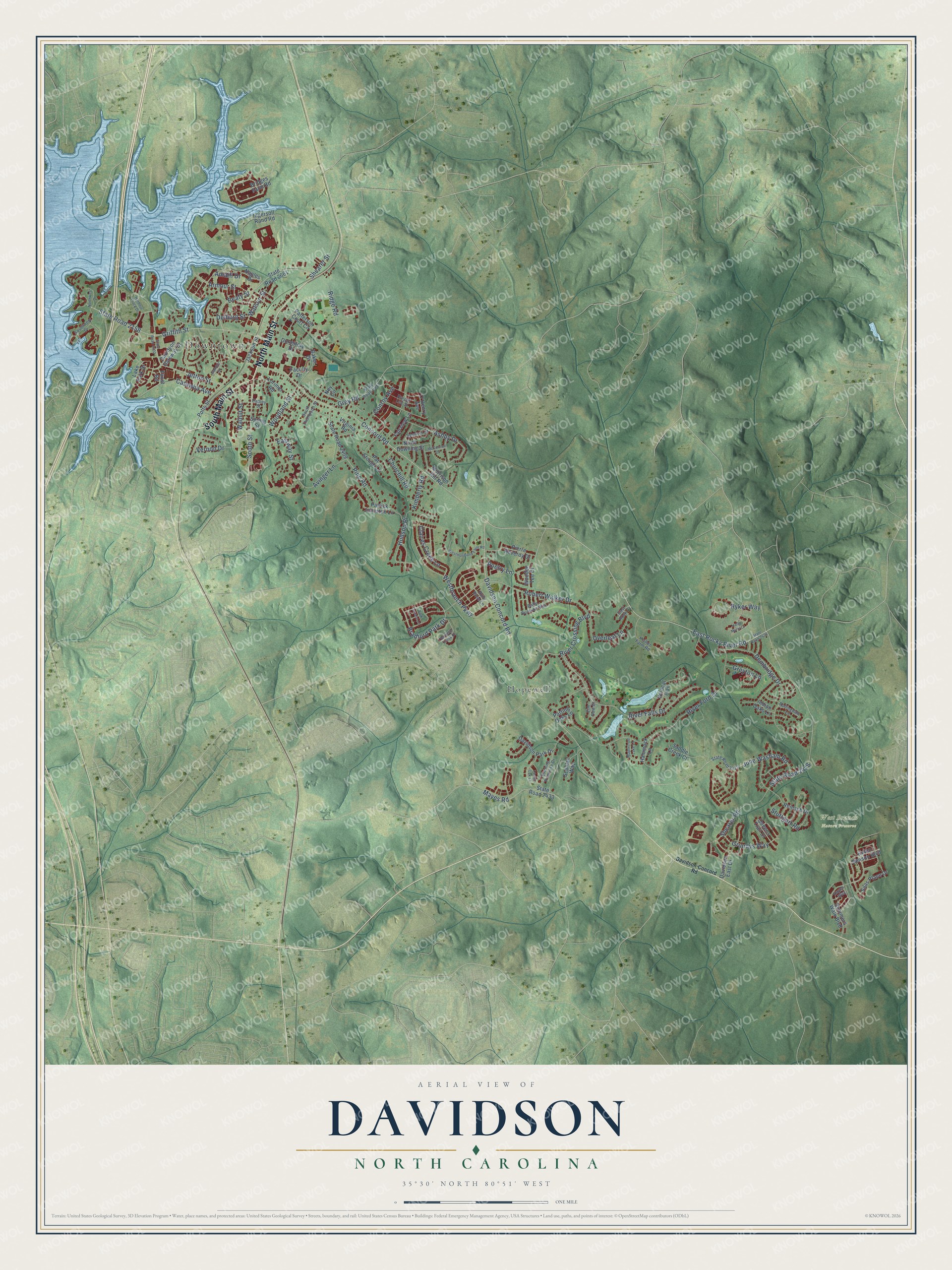
Explore Davidson, North Carolina from a whole new perspective. Created using aerial imagery and detailed geographic data, this map captures Davidson building by building, with labeled streets, familiar landmarks, and shaded topographical relief that highlights the natural contours of the landscape.
Combining modern data with the timeless character of a vintage atlas, this map is just as interesting up close as it is beautiful on the wall. Whether you grew up in Davidson, spent memorable years there, or call it home today, this unique map is a great way to celebrate a place that means something to you. Zoom in on the preview to look for your street, and then order a print to put your memories on the wall.
Three ways to hang it
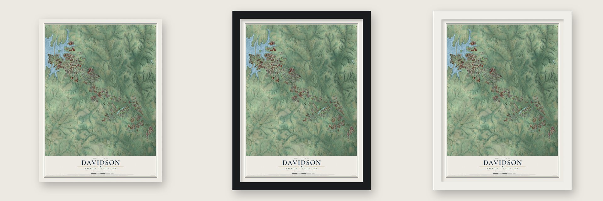
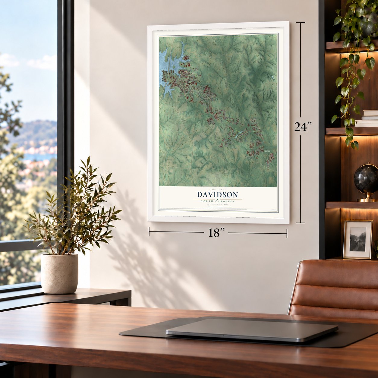
Unframed archival matte, a black wood frame or a white wood frame.
Up close
Geography Worth Displaying
This map was created using accurate cartographic data and authoritative geographic sources, including the U.S. Geological Survey and the Census Bureau. The map brings together terrain, waterways, roads, and building detail. The majority of the streets are labeled, houses are accurately depicted, and the topography is derived from government sources. Combining local data with carefully composed color and shading leads to this beautifully detailed Davidson artwork for your wall.
Rather than simply showing street outlines, we’ve included as many of the street names as we could reasonably fit on the map while keeping their names legible. Zoom in on the high resolution preview to see exactly what’s on the map. We truly set out to create a statement piece for anyone who loves Davidson. So whether it’s for you, or a gift for someone you love, we hope this map of Davidson brings back fond memories.
Read the story behind this map of Davidson, North Carolina from 2026.
About Davidson, North Carolina
Davidson is a town of 15,106 people in Mecklenburg County. A small part of it reaches north into Iredell County, and its western edge follows the shore of Lake Norman. The town grew up around Davidson College, which the Presbyterians opened in 1837 to honor Brigadier General William Lee Davidson, a Revolutionary War hero. His son, William Lee Davidson II, sold 469 acres to the Concord Presbytery so the school could be built.
The village at first carried the college's own name. By 1869 a business directory listed four dry goods merchants there, along with a cabinetmaker, a miller and three physicians. The railroad turned the town into a shipping point for cotton. The Linden Cotton Factory opened on Depot Street in 1890, and the next year the name was shortened to Davidson. The Delburg Cotton Mills followed in 1908, and the mills helped the town grow from 500 residents in 1910 to 1,500 by the 1920s.
- Brick rows facing the collegeBetween 1900 and the Great Depression, Davidson's business district changed from a mix of shops and homes into solid rows of one- and two-story brick buildings across from the campus. They held four general stores, a drug store, a bank, a post office, a hardware store, a laundry, a tailor, two barber shops and several restaurants. In 2009 that historic core, downtown included, became the Davidson Historic District on the National Register.
- Cotton behind Main StreetIn the early 1900s, Davidson sold two thousand bales of cotton a year. Behind Main Street, along the tracks, stood the 1897 Southern Railway Depot, along with cotton gins, a flour mill, a sawmill, a cottonseed oil company, a blacksmith and a buggy maker. That farm trade ended when cotton farming died out and I-77 drew shoppers to the big stores in Charlotte.
- No drive-thrus allowedDavidson adopted a General Plan in 1993, then a Land Plan in 1995 and a Planning Ordinance in 2001. Each one shaped growth around walking, mixed uses, affordable housing and open space. Putting people on foot first led the town to ban drive-thrus. In 2004 its town planning won the Environmental Protection Agency's Smart Growth Award for Overall Excellence.
- A president and an NBA starDavidson College has graduated 23 Rhodes scholars. Its students have included Woodrow Wilson, who went on to become the nation's 28th president, and George Osborne, who later served as Britain's Chancellor of the Exchequer. The NBA player Stephen Curry also went to school there.
Find your street
Names on the Davidson map
Every name below is printed on this map. Look for your street, your school, the park where you played, or the pond down the road.
Places and landmarks3
- Downtown
- West Branch Nature Preserve
- Hopewell
Streets and roads115
- South Main Street
- North Main Street
- Concord Road
- Davidson Concord Road
- Bradford Park Drive
- East Rocky River Road
- South Street
- State Road 2158
- Griffith Street
- Jetton Street
- Woodland Street
- River Ford Drive
- Robert Walker Drive
- Shearer Road
- River Falls Drive
- Dembridge Drive
- Hudson Place
- Westbranch Parkway
- Ashby Drive
- Beaty Street
- Pine Road
- River Crossing Boulevard
- Avinger Lane
- June Washam Road
- State Road 2418
- Ridge Road
- Delburg Street
- Armour Street
- Catawba Avenue
- Ryker Way
Show all 115 streets
- Walnut Street
- Stuttgart Road
- Mayes Road
- Watson Street
- Grundys Way
- Claires Creek Lane
- Grey Road
- Overleaf Lane
- Greyton Lane
- Vernon Drive
- Eastway Street
- Kimberly Road
- Amalfi Drive
- Churchill Road
- Poetry Lane
- Conroy Avenue
- Shearer Street
- Dormitory Drive
- Summers Walk Boulevard
- State Road 2661
- State Road 2409
- Ingersoll Rand Road
- Davidson Gateway Drive
- Lorimer Road
- Reinsch Drive
- Jackson Street
- Helen Benson Boulevard
- Patterson Court Circle
- Spring Street
- Bridges Farm Road
- Wildcat Trail
- Davidson Park Drive
- Patrick Johnston Lane
- State Road 2433
- Potts Street
- Wooden Tee Drive
- O'Henry Avenue
- Pat Stough Lane
- Baker Drive
- Hammock Lane
- Queens Trail Drive
- Naples Drive
- Lake Park Drive
- Morrison Hill Road
- Fairview Lane
- North Downing Street
- Silas Place Drive
- Indian Oaks Lane
- Pierre Reverdy Drive
- Scanlan Way
- Davidson East Drive
- Virginia Road
- Faculty Drive
- Saddle Creek Court
- Parting Oaks Lane
- Faust Road
- Ney Circle
- State Road 2422
- State Road 2417
- Kistler Farm Road
- Evening Primrose Drive
- Southwest Drive
- Bally Bunnion Way
- Harper Lee Street
- South Thompson Street
- Ruby Rose Lane
- Rollingdale Lane
- Spencer Street
- Cathey Street
- East Rock Court
- Elm Row Court
- Hayes Way
- Davidson-Concord Road
- State Road 2420
- Harbour Place Drive
- State Road 2402
- Westmoreland Farm Road
- Maplecroft Lake Lane
- Bartlette Creek Drive
- Northwest Drive
- Halle Marie Cr
- Gamble Street
- McConnell Drive
- Park Terrace Lane
- Laurel Oak Lane
Names are listed as they appear on the printed map. Zoom into the product photos to find them.
The art of mapping a place
How This Map Was Made
Real places. Remarkable detail. Discover the layers that turn geographic data into a map of home.

The view from above
Aerial imagery reveals the character of the land: woodland, open fields, and the patterns of a place.

The shape of the land
Elevation data brings hills, valleys, and subtle changes in the landscape into view.

The details of home
Roads, waterways, and building footprints come together to make the map feel unmistakably local.

Geography becomes art
Considered color, shading, and typography bring the layers together in a map made for your wall.


Process illustrated with Mendon, Massachusetts. Aerial imagery: USDA NAIP. Terrain: USGS 3D Elevation Program. Map details and finished artwork: KNOWOL.
The Details
About This Print
Choose an archival matte print, or a black or white Ayous wood frame. The archival matte print is unframed.
Select your size and finish above to see the matching product image and price.
Materials & Craftsmanship
A contemporary map with the character of a classic atlas, printed on archival matte paper. Optional frames are made from Ayous wood.
Your printed map does not include the watermark shown in the full-map preview.
Shipping & Delivery
Free shipping within the United States. Every print is made to order in the USA.
Buying a gift? Add a note in your cart and we'll include it. We never put prices in the package.
Prints ship within 2 to 3 business days. Allow 7 to 10 days total from ordering for delivery. Timing may vary during holidays or periods of high order volume.
Read our shipping policy.
Returns and damaged prints
Each print is made to order. Change-of-mind refunds are not available after production.
If your print arrives damaged, misprinted or incorrect, contact support@knowol.com within 30 days of receiving it. Include your order number, photos and a description of the issue.
Read our full refund and replacement policy. For questions about your order, email support@knowol.com.
Find your town
Looking for another city?
Find a map of home in our North Carolina collection, or any town in the country.
Nearby
Maps of towns near Davidson
Know someone from one of these towns? Their map makes a great gift.
 Cornelius
, North Carolina
From $39.99See the map
 Huntersville
, North Carolina
From $39.99See the map
 Mooresville
, North Carolina
From $39.99See the map
More maps nearby: Lake Norman of Iredell, Westport, Enochville, Kannapolis and Lowesville.