


Search for another town

Free U.S. delivery 7 to 10 days after you order
Cranston, Rhode Island Map Art
Building by building, with labeled streets and shaded relief.
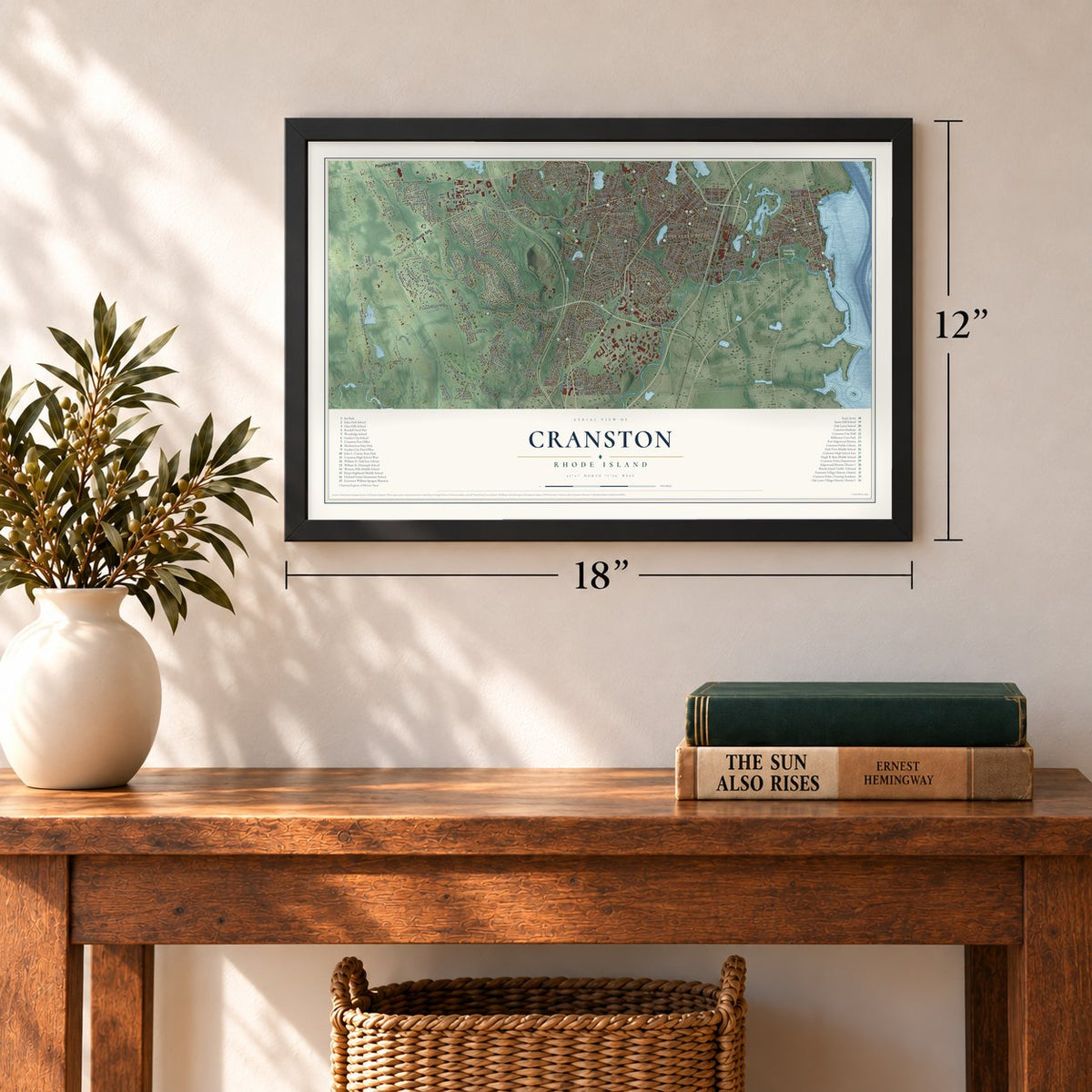
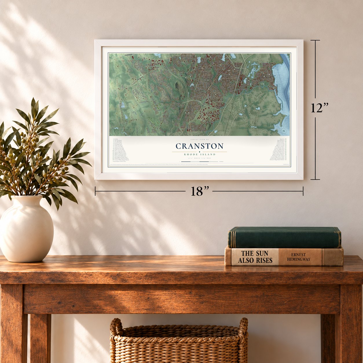
12" x 18" Archival Matte Print
A Map of Home. A Work of Art.
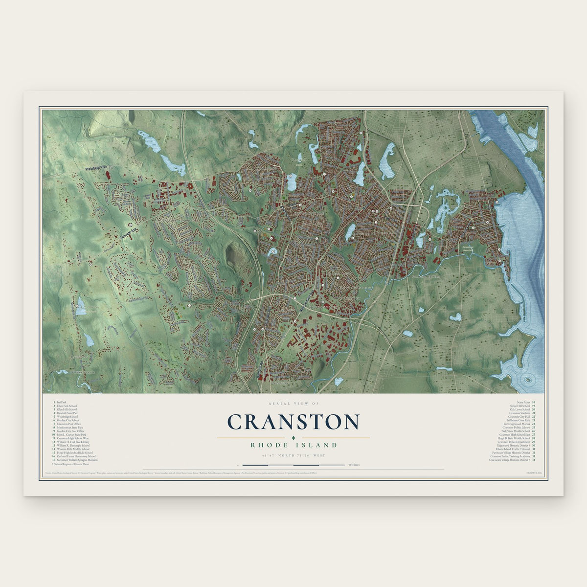
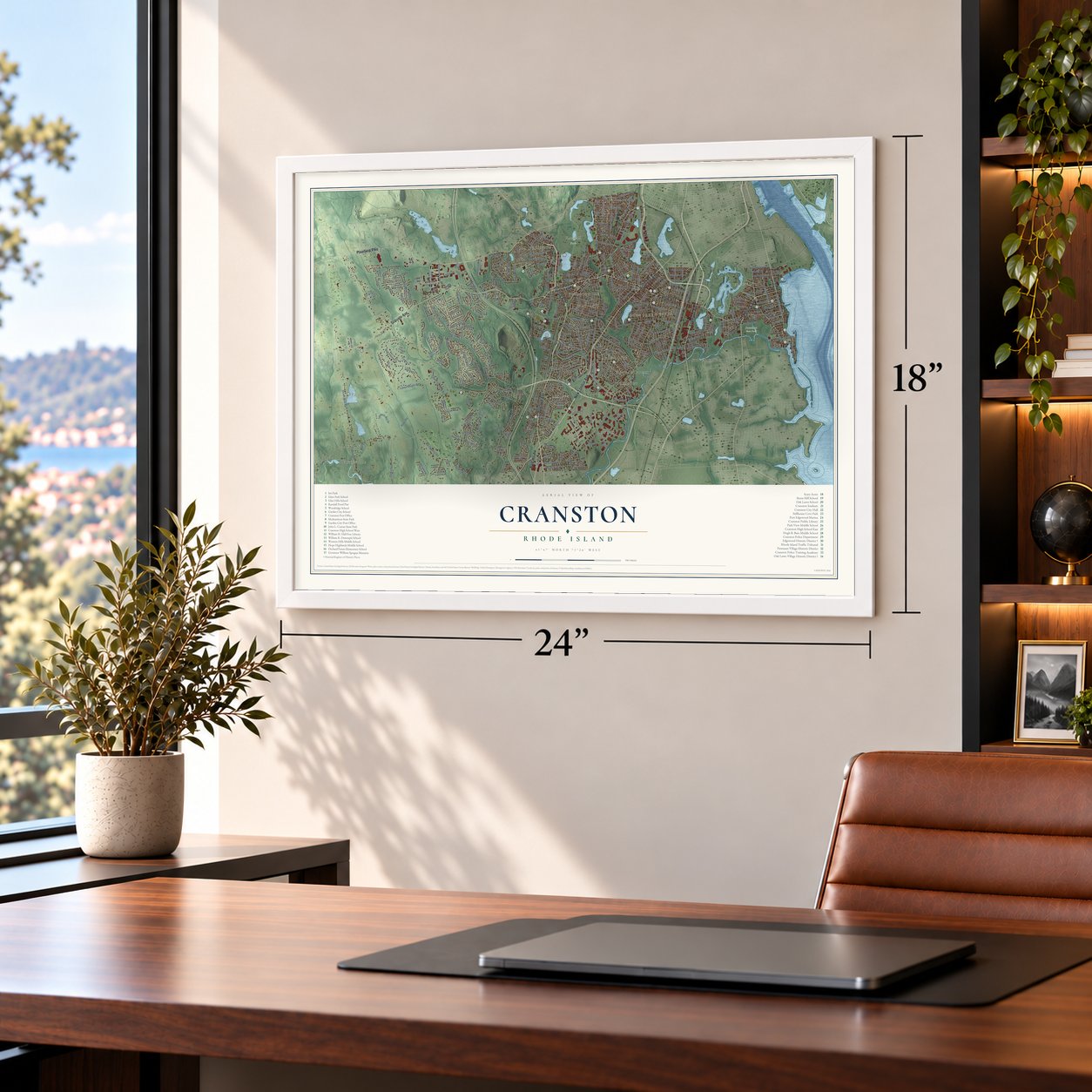
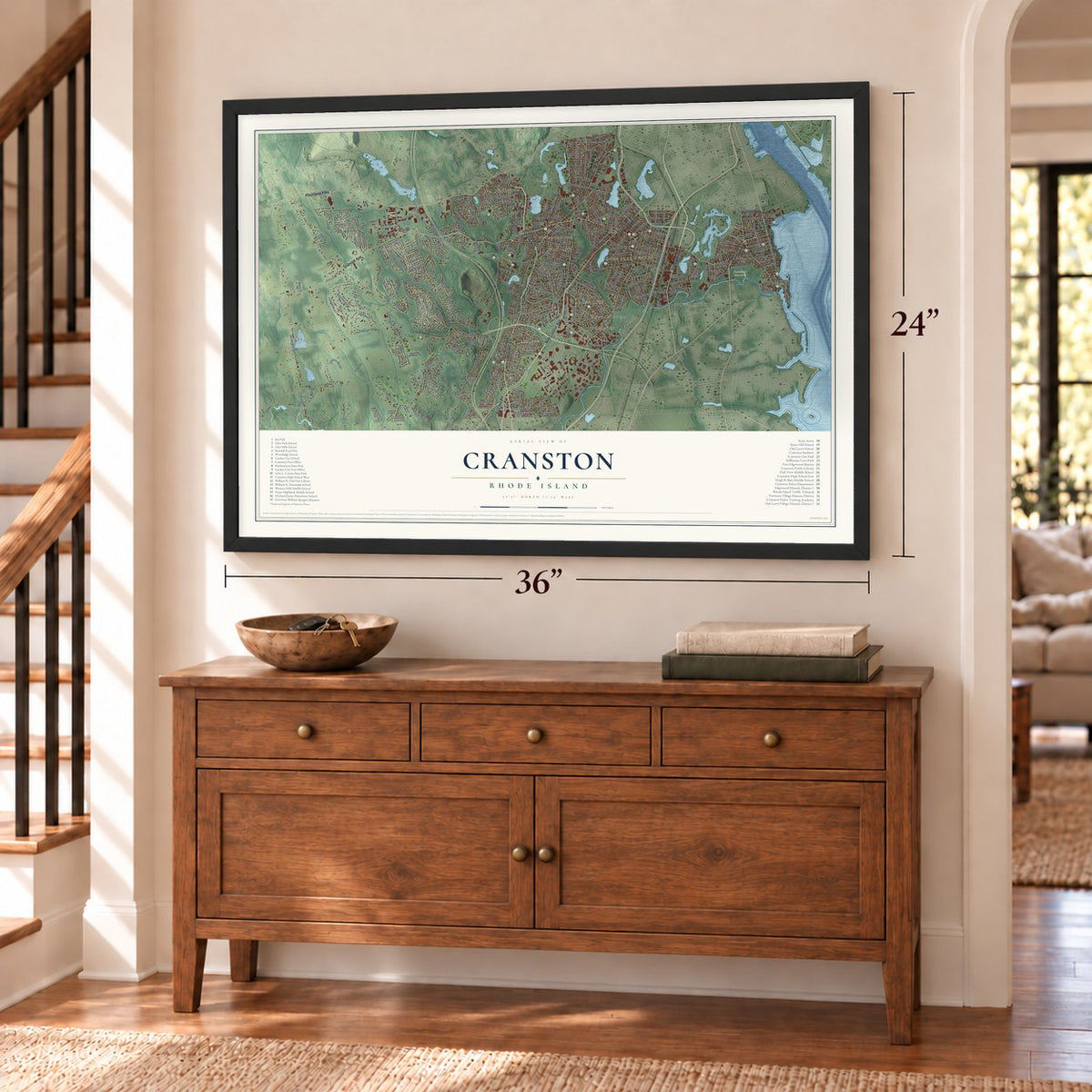
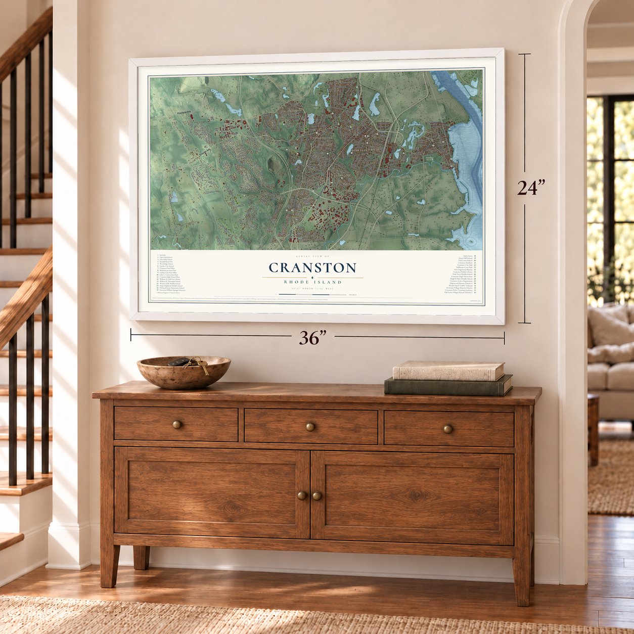
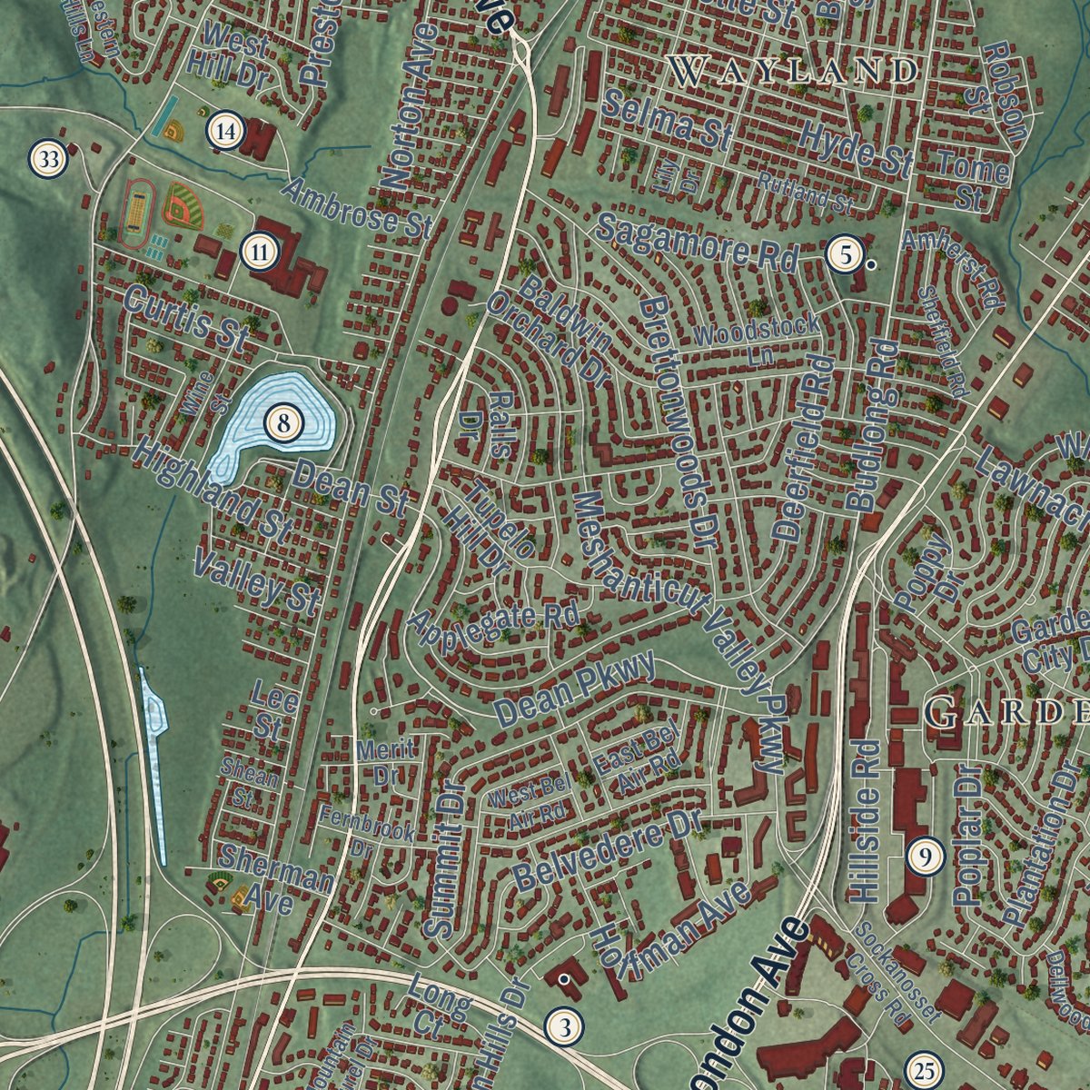
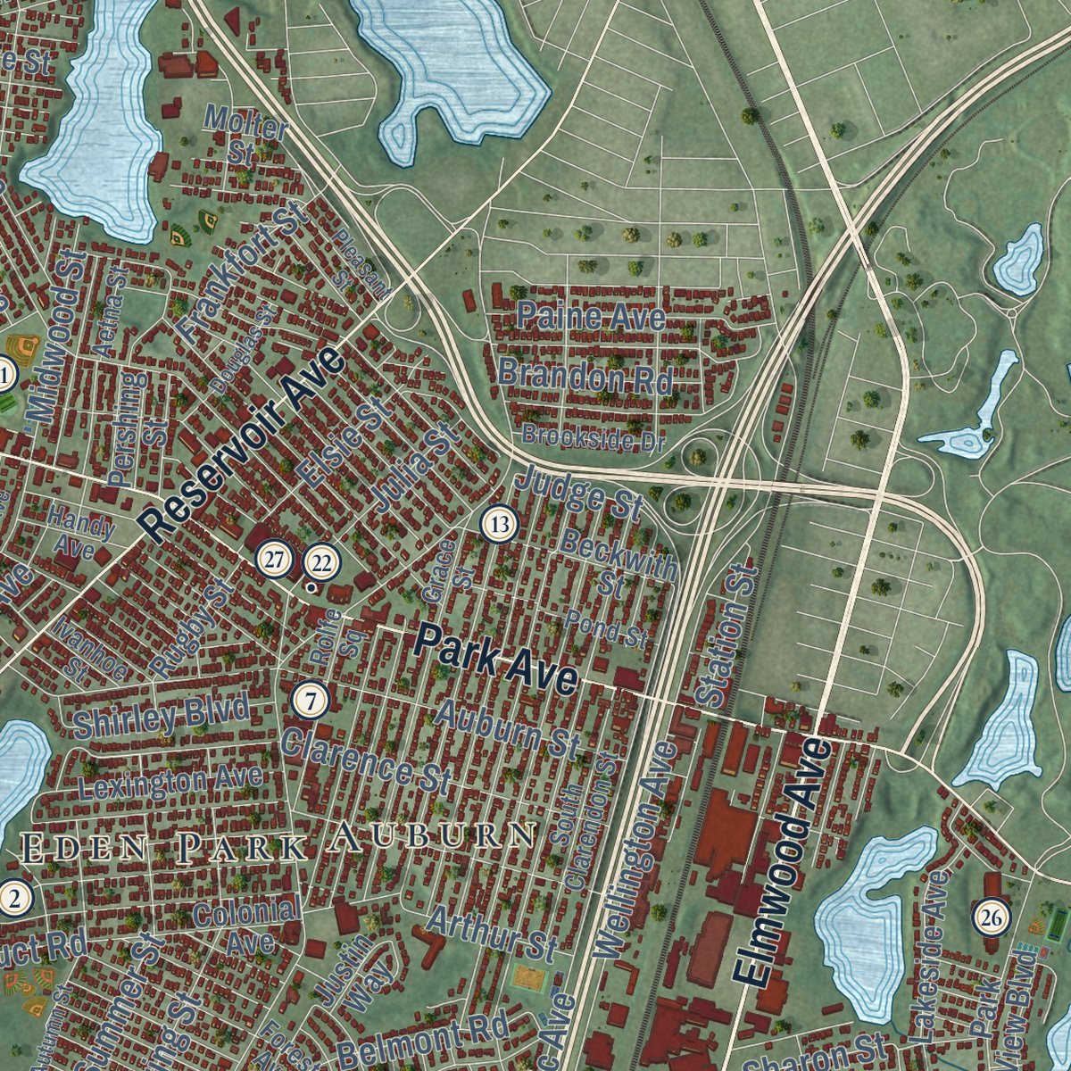
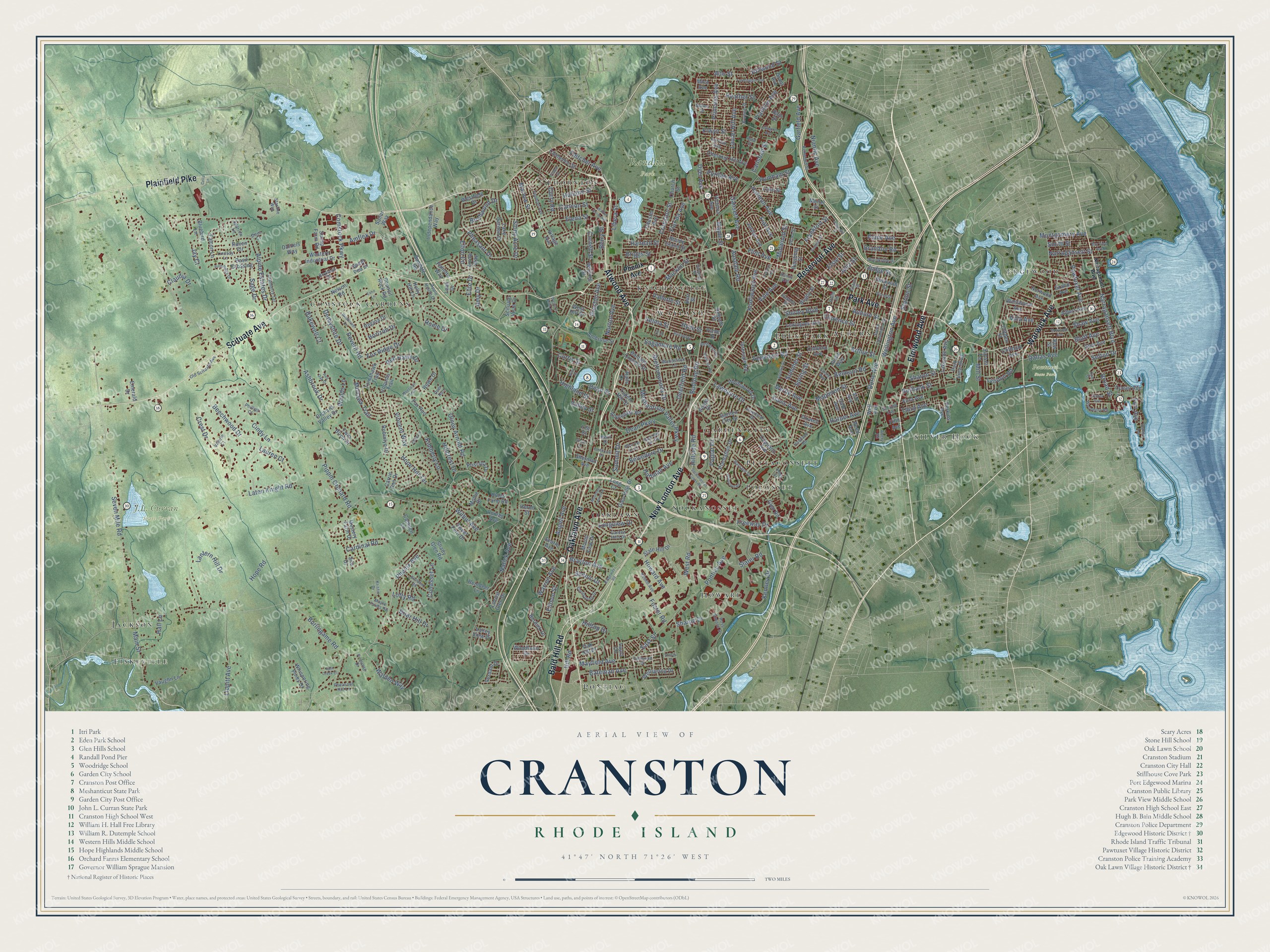
Explore Cranston, Rhode Island from a whole new perspective. Created using aerial imagery and detailed geographic data, this map captures Cranston building by building, with labeled streets, familiar landmarks, and shaded topographical relief that highlights the natural contours of the landscape.
Combining modern data with the timeless character of a vintage atlas, this map is just as interesting up close as it is beautiful on the wall. Whether you grew up in Cranston, spent memorable years there, or call it home today, this unique map is a great way to celebrate a place that means something to you. Zoom in on the preview to look for your street, and then order a print to put your memories on the wall.
Three ways to hang it
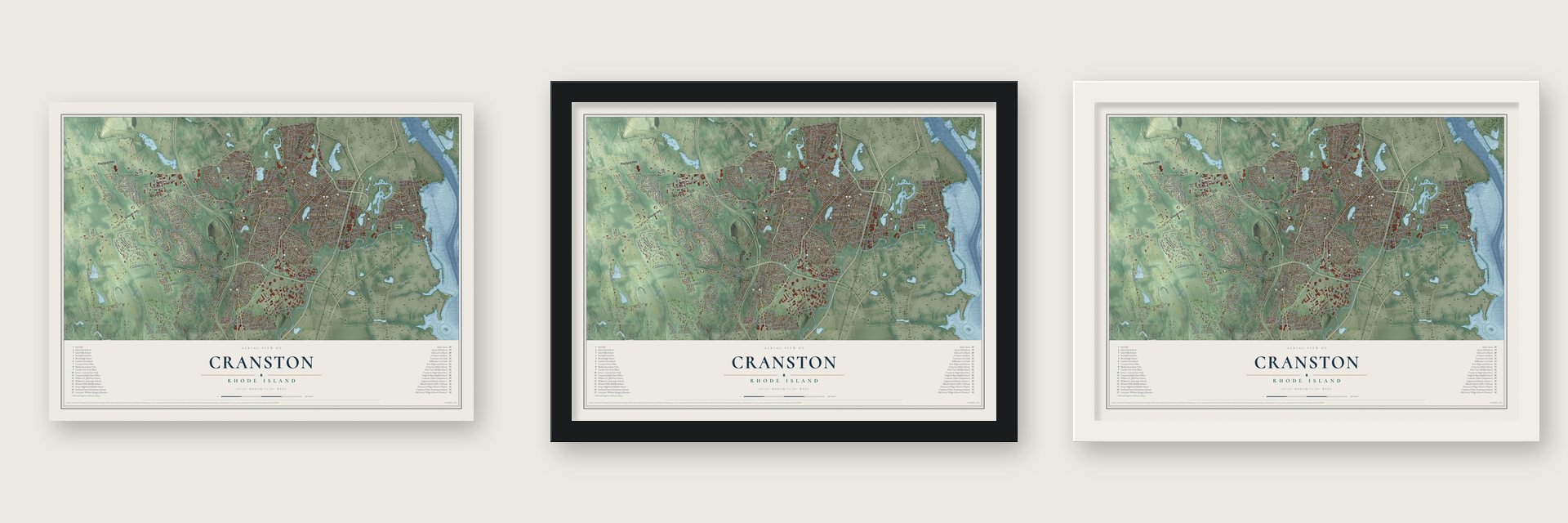
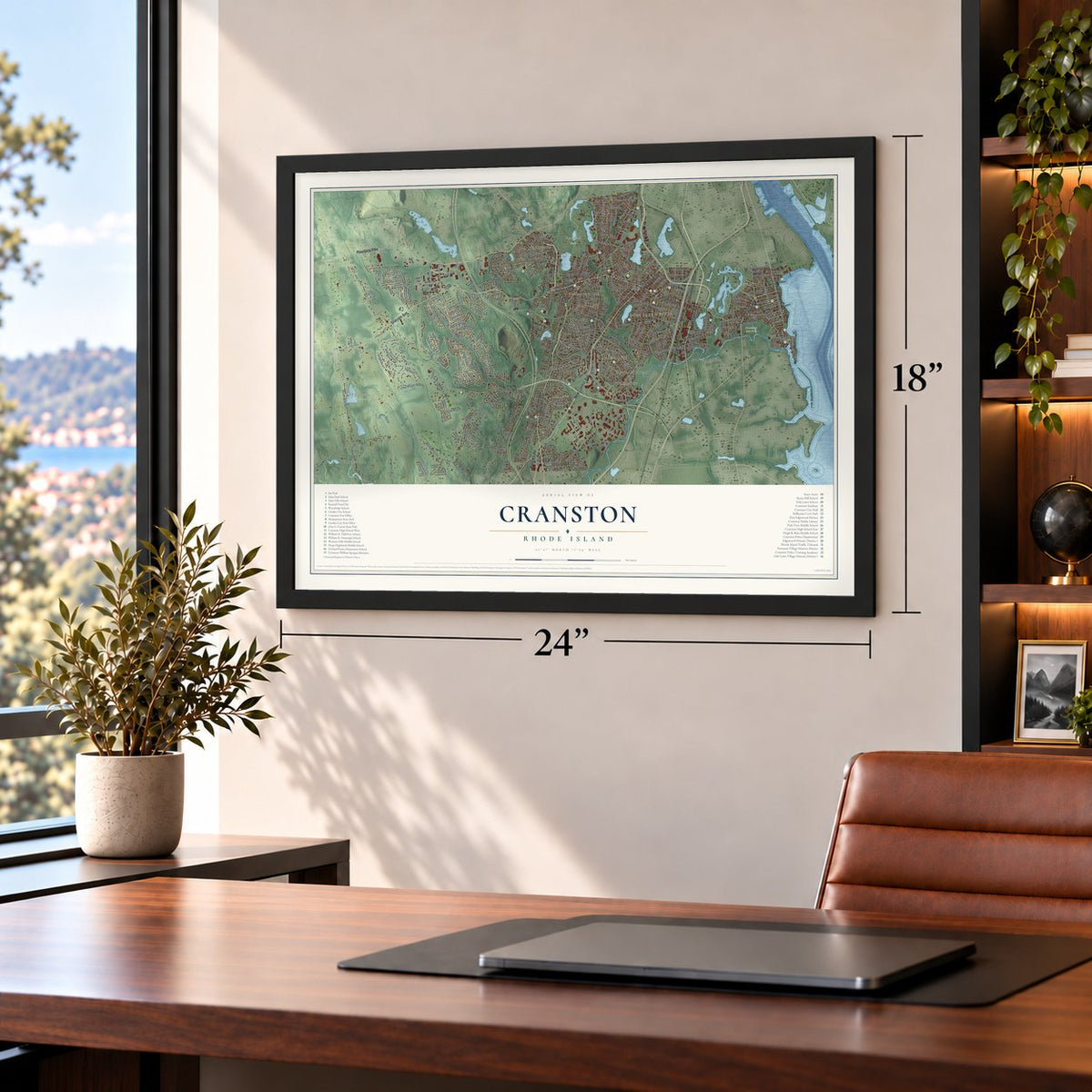
Unframed archival matte, a black wood frame or a white wood frame.
Up close
Geography Worth Displaying
This map was created using accurate cartographic data and authoritative geographic sources, including the U.S. Geological Survey (USGS) and FEMA. The map brings together terrain, waterways, roads, and building detail. The majority of the streets are labeled, houses are accurately depicted, and the topography is derived from government sources. Combining local data with carefully composed color and shading leads to this beautifully detailed Cranston artwork for your wall.
Rather than simply showing street outlines, we’ve included as many of the street names as we could reasonably fit on the map while keeping their names legible. Zoom in on the high resolution preview to see exactly what’s on the map. We truly set out to create a statement piece for anyone who loves Cranston. So whether it’s for you, or a gift for someone you love, we hope this map of Cranston brings back fond memories.
Explore the full map of Cranston, Rhode Island and read about the local places it shows.
Find your street
Names on the Cranston map
Every name below is printed on this map. Look for your street, your school, the park where you played, or the pond down the road.
Places and landmarks20
- J.L. Curran State Park
- Pawtuxet State Park
- Randall Park
- Howard
- Comstock Gardens
- Pontiac
- Garden City
- Fiskeville
- Silver Hook
- Edgewood
- Knightsville
- Oaklawn
Show all 20 places
- Sockanosset
- Eden Park
- Thornton
- Wayland
- Pocasset
- Auburn
- Jackson
- Pettaconsett
Streets and roads368
- Oaklawn Avenue
- Atwood Avenue
- Elmwood Avenue
- Warwick Avenue
- Scituate Avenue
- New London Avenue
- Park Avenue
- Plainfield Pike
- Reservoir Avenue
- Bald Hill Road
- Dyer Avenue
- Budlong Road
- Pheasant Drive
- Alto Street
- Hillwood Street
- Phenix Avenue
- Dean Parkway
- Gansett Avenue
- Puritan Avenue
- Cranston Street
- Pontiac Avenue
- Pippin Orchard Road
- Hope Road
- Natick Avenue
- Wellington Avenue
- Laten Knight Road
- Seven Mile Road
- Broad Street
- Alpine Estates Drive
- Beechwood Drive
Show all 368 streets
- Meshanticut Valley Parkway
- Comstock Parkway
- Wilbur Avenue
- West Road
- Burlingame Road
- Princess Avenue
- Auburn Street
- Olney Arnold Road
- Doric Avenue
- Kenney Drive
- Narragansett Boulevard
- Poplar Drive
- Summit Drive
- Mayfield Avenue
- Knollwood Avenue
- Niantic Avenue
- Lawnacre Drive
- Ashbrook Drive
- Garfield Avenue
- Laurel Hill Avenue
- Lippitt Avenue
- Cardinal Road
- Brettonwoods Drive
- East Street
- Stony Acre Drive
- Derbyshire Drive
- Lantern Hill Drive
- Summer Street
- Narragansett Street
- Randall Street
- Main Street
- Hope Hill Terrace
- Howard Avenue
- Ausdale Road
- Spring Street
- Aqueduct Road
- Deerfield Road
- Fox Ridge Drive
- Belvedere Drive
- Amflex Drive
- Elena Street
- Clarence Street
- Hillside Road
- Sharpe Drive
- Pawtuxet Avenue
- Angell Avenue
- Crest Drive
- Harmon Avenue
- Hoffman Avenue
- Bateman Avenue
- Mapleton Street
- Walden Way
- Flint Avenue
- Curry Road
- Kimberly Lane
- Heather Street
- Holland Street
- Smith Street
- Peveril Road
- Hyde Street
- Lyndon Road
- Selma Street
- Mohawk Trail
- Marlow Street
- Belmont Road
- Montgomery Avenue
- Macklin Street
- Paine Avenue
- Mill Street
- Curtis Street
- Vincent Way
- Fletcher Avenue
- Hilltop Drive
- Fiat Avenue
- Third Avenue
- Highland Street
- Red Hawk Drive
- Station Street
- Briar Hill Drive
- Cornell Street
- Elsie Street
- Warren Avenue
- Shaw Avenue
- Florida Avenue
- Cannon Street
- Vallette Street
- Bluff Avenue
- Slater Road
- Brayton Avenue
- Franklin Avenue
- Davis Avenue
- Preston Avenue
- Cohasset Lane
- Cindy Lane
- Sagamore Road
- Julia Street
- Shirley Boulevard
- Lauren Court
- Midwood Street
- Birchwood Drive
- Bakewell Court
- Elton Circle
- Elwyn Street
- Longview Drive
- Scenic Drive
- Hall Lane
- Arthur Street
- Carlsbad Street
- Harper Avenue
- Hill Road
- Sage Drive
- Burbank Street
- Myrtle Avenue
- Brandon Road
- Norton Avenue
- Frankfort Street
- Pomham Street
- Vale Avenue
- Dallas Avenue
- Freeway Drive
- Villa Avenue
- Briggs Street
- Ellison Street
- Sharon Street
- Hillcrest Drive
- Fort Avenue
- Libera Street
- Maple Street
- Claudia Drive
- Woods Lane
- Elite Drive
- Dean Street
- Horizon Drive
- Sefton Drive
- Foster Road
- Berry Street
- Judge Street
- Amy Drive
- Lofty Road
- Rome Drive
- Valley Street
- Jay Court
- Garden City Drive
- Council Rock Road
- Beckwith Street
- Twin Birch Drive
- Locust Glen Drive
- Glen Hills Drive
- Lake Garden Drive
- Tomahawk Trail
- Burdick Drive
- Orchard Valley Drive
- Camden Lane
- Plantation Drive
- Capuano Avenue
- Western Industrial Drive
- Hines Farm Road
- Whiting Street
- Mystery Farm Drive
- Stamp Farm Road
- Basil Crossing
- Whitewood Drive
- Chestnut Hill Avenue
- Jordan Avenue
- Grand Avenue
- Albert Avenue
- Park View Boulevard
- Tupelo Hill Drive
- Laura Circle
- Westfield Drive
- Lexington Avenue
- First Avenue
- Norwood Avenue
- Mollie Drive
- Scituate Vista Drive
- Victoria Avenue
- Whispering Pines Drive
- Wellspring Drive
- Colonial Avenue
- Lakeside Avenue
- Baldwin Orchard Drive
- Applegate Road
- Holly Hill Lane
- Glen Road
- Cliffdale Avenue
- Independance Way
- Sundale Road
- Mount View Drive
- Raven Circle
- Intervale Road
- Vaughn Lane
- Bluebird Lane
- Fox Run
- Westwood Avenue
- Falcon Lane
- Ocean Avenue
- Conley Avenue
- Oak Hill Drive
- Rugby Street
- Carrie Ann Drive
- Clemence Street
- Priscilla Drive
- Valley View Drive
- Sweet Pea Drive
- Village Avenue
- Sailor Way
- Glen Avenue
- Slate Hill Drive
- Grant Avenue
- Bain Street
- Ambrose Street
- Sunset Terrace
- Molter Street
- Woodlawn Drive
- Reindeer Lane
- Dale Avenue
- Silo Drive
- Fifth Avenue
- Robinlyn Drive
- Lake Street
- Ash Avenue
- Sweet Fern Drive
- Rhode Island Street
- Chester Avenue
- Searle Avenue
- Verdant Drive
- Sherman Avenue
- Nelson Road
- Robson Street
- West Hill Drive
- Church Street
- Regina Drive
- Rowe Drive
- Iroquois Trail
- Shady Glen Road
- Poppy Drive
- Tome Street
- Mica Avenue
- Perkins Avenue
- Burr Street
- Dixwell Avenue
- Pershing Street
- Long Court
- Clifden Street
- Emerald Drive
- Ralls Drive
- Paliotta Way
- Daniels Way
- Arrow Way
- Herod Street
- Justin Way
- Well Avenue
- Leah Drive
- Reed Avenue
- Bow Street
- Lee Street
- Grace Street
- Garden Hills Drive
- Woodstock Lane
- Harvard Street
- Forest Avenue
- Apple House Drive
- Yeoman Avenue
- South Clarendon Street
- Valerie Court
- Pond Street
- Wales Street
- Second Avenue
- Cranberry Terrace
- Coolspring Drive
- Woodbury Road
- Keene Avenue
- Kenwood Street
- Rolfe Square
- Ross Simons Drive
- Old Scituate Avenue
- Pheasant Hill Lane
- Amherst Road
- Starline Way
- Old Oak Avenue
- Eddy Street
- Brookside Drive
- Lindsay Lane
- Browne Street
- Perennial Drive
- Kristin Drive
- Howland Road
- East Bel Air Road
- Handy Avenue
- Phillips Court
- Maple Farms Road
- Primrose Drive
- Fairwood Drive
- Aetna Street
- Sparrow Lane
- Boylston Drive
- Ivanhoe Street
- Furlong Street
- Avery Road
- Merit Drive
- Dove Court
- Deer Run
- Asia Street
- Farmington Avenue
- Sockanosset Cross Road
- Wildflower Drive
- Mountain Laurel Drive
- Bay View Avenue
- Autumn Street
- Rutland Street
- Pleasant Street
- Dellwood Road
- Ellen Lane
- Ridgeway Road
- Crothers Avenue
- Moccasin Trail
- Echo Lane
- Glenham Road
- Sheffield Road
- Pine Ridge Drive
- Douglas Street
- Seaview Avenue
- Wine Street
- Walnut Grove Avenue
- Tucker Avenue
- Fernbrook Drive
- Moorland Avenue
- Arlington Avenue
- West Bel Air Road
- Tilden Street
- Stacey Drive
- Shean Street
- Split Creek Court
- Western Hills Lane
- Cella Lane
- Red Oak Drive
- Opal Street
- Lily Drive
Names are listed as they appear on the printed map. Zoom into the product photos to find them.
About Cranston, Rhode Island
Cranston is a city of 82,934 people in Providence County, just south of Providence, and the 2020 census made it the second-largest city in Rhode Island. Its land was part of the Pawtuxet Purchase, which Roger Williams made from the Narragansett in 1638. William Arnold was the first settler, and William Harris, Zachariah Rhodes and William Carpenter soon followed him.
Stephen Arnold put up a gristmill at Pawtuxet Falls and cut a road, today's Broad Street, out to the Pequot Trail toward Connecticut. For decades settlers argued over what to call a town of their own, until the General Assembly carved the Town of Cranston out of Providence, north of the Pawtuxet River, in 1754. Its namesake was either Governor Samuel Cranston, the longest-serving governor of Rhode Island, or his grandson Thomas, then speaker of the state House.
- The Gaspee burned in 1772In 1772 Rhode Island patriots attacked the British revenue schooner Gaspee at Pawtuxet Village, the busy harbor Cranston shares with Warwick, and set it on fire. Since 1965 the two communities have remembered that night every June with Gaspee Days. The parade comes on the second Saturday of the month, and the burning is acted out again at Pawtuxet Park.
- A mill village at PawtuxetIn the 1800s the Rhodes textile firm made the old port into a mill village. Later, crowds rode the trolley out from Providence to dance at the Rhodes-on-the-Pawtuxet hall.
- Two governors, one houseThe Sprague family's mansion on Cranston Street went up around 1790 and housed three generations. Two governors were born there, William Sprague III and later his nephew, William Sprague IV, and in 1808 the family founded the Sprague Print Works, later Cranston Print Works. William Sprague IV took part in the first battle of Bull Run while serving as governor. Amasa Sprague enlarged the house in 1864.
- A stone-ender from 1677Captain Arthur Fenner built a stone-ender farmhouse in 1677 for his son Thomas. The Thomas Fenner House is said to be the oldest house still standing in the old Providence Plantations portion of Rhode Island.
- May Breakfast since 1865Oak Lawn, in southwest Cranston, went by Searle's Corner until 1872. In 1865 members of the Oak Lawn Baptist Church served a breakfast to raise money for local Civil War veterans, and that meal is said to be where the New England May Breakfast tradition began.
Keep exploring Rhode Island
Cranston is one of 86 Rhode Island towns we've mapped. Every dot on the map is a print of its own.
The search covers every state, Rhode Island first.
Near Cranston
Order 2 or more town maps and save 10%. Shown in the size and finish you picked above, so they hang as a set.
- Thornton 12" x 18" / Archival Matte Print $39.99
- Auburn 12" x 18" / Archival Matte Print $39.99
- Elmwood 12" x 18" / Archival Matte Print $39.99


More maps nearby: Johnston, Manton, Federal Hill, Providence and Hope.
The art of mapping a place
How This Map Was Made
Real places. Remarkable detail. Discover the layers that turn geographic data into a map of home.

The view from above
Aerial imagery reveals the character of the land: woodland, open fields, and the patterns of a place.

The shape of the land
Elevation data brings hills, valleys, and subtle changes in the landscape into view.

The details of home
Roads, waterways, and building footprints come together to make the map feel unmistakably local.

Geography becomes art
Considered color, shading, and typography bring the layers together in a map made for your wall.


Process illustrated with Mendon, Massachusetts. Aerial imagery: USDA NAIP. Terrain: USGS 3D Elevation Program. Map details and finished artwork: KNOWOL.
The Details
About This Print
Choose an archival matte print, or a black or white Ayous wood frame. The archival matte print is unframed.
Select your size and finish above to see the matching product image and price.
Materials & Craftsmanship
A contemporary map with the character of a classic atlas, printed on archival matte paper. Optional frames are made from Ayous wood.
Your printed map does not include the watermark shown in the full-map preview.
Shipping & Delivery
Free shipping within the United States. Every print is made to order in the USA.
Buying a gift? Add a note in your cart and we'll include it. We never put prices in the package.
Prints ship within 2 to 3 business days. Allow 7 to 10 days total from ordering for delivery. Timing may vary during holidays or periods of high order volume.
Read our shipping policy.
Returns and damaged prints
Each print is made to order. Change-of-mind refunds are not available after production.
If your print arrives damaged, misprinted or incorrect, contact support@knowol.com within 30 days of receiving it. Include your order number, photos and a description of the issue.
Read our full refund and replacement policy. For questions about your order, email support@knowol.com.