
Search for another town



Free U.S. delivery 7 to 10 days after you order
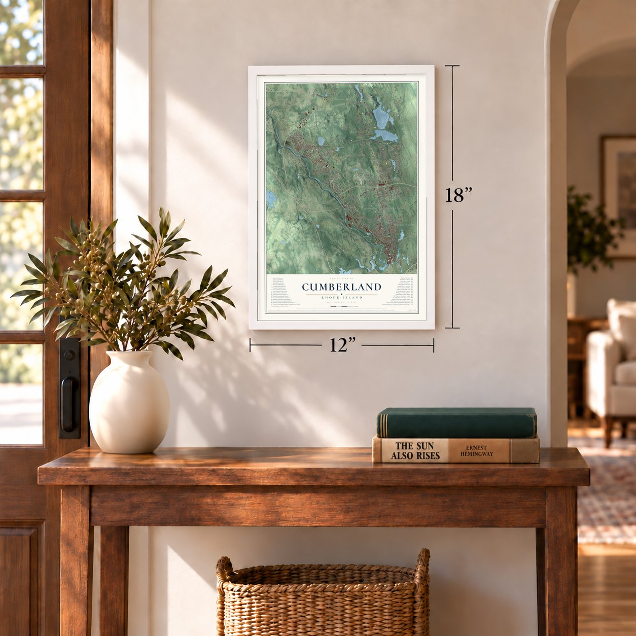
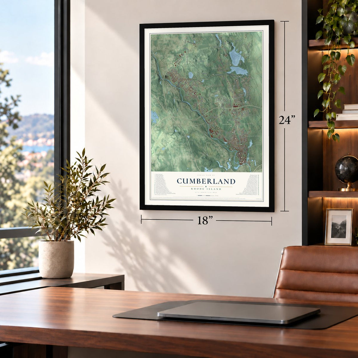
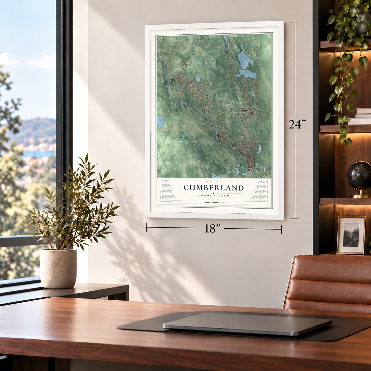
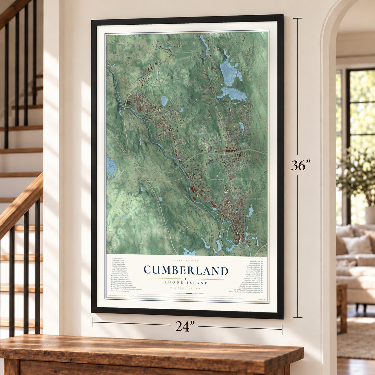
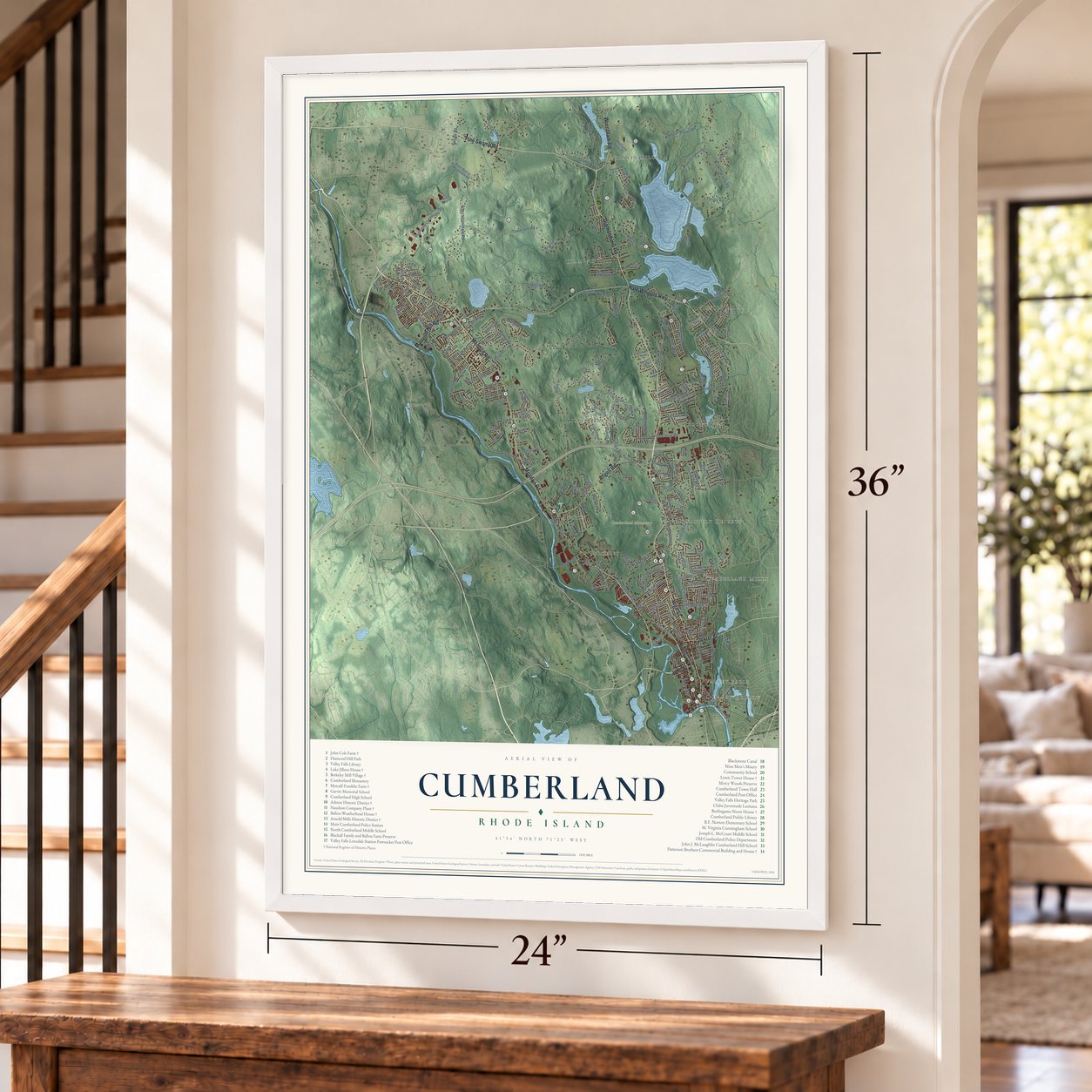
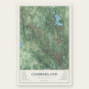
Cumberland, Rhode Island Map Art
Building by building, with labeled streets and shaded relief.
12" x 18" Archival Matte Print
A Map of Home. A Work of Art.
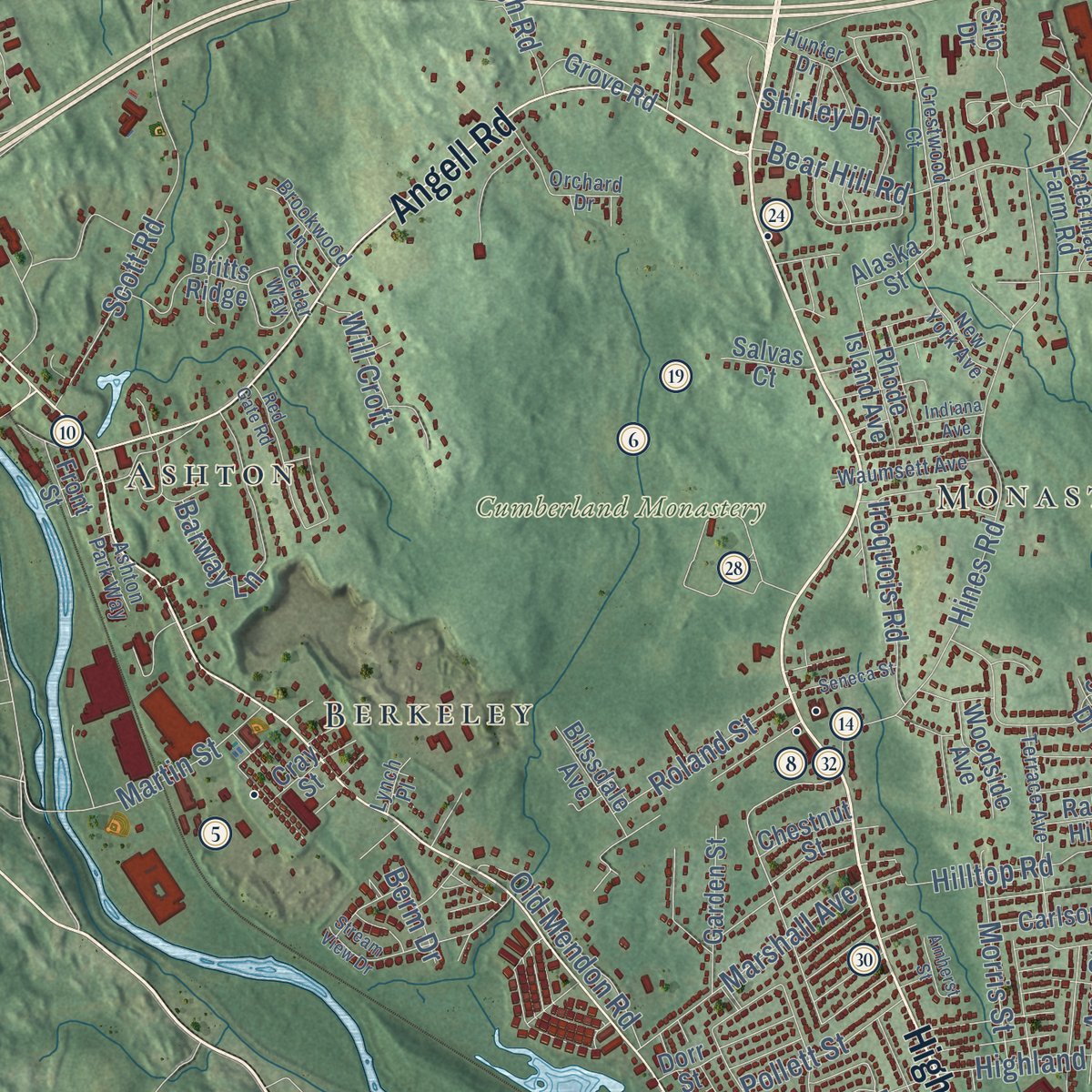
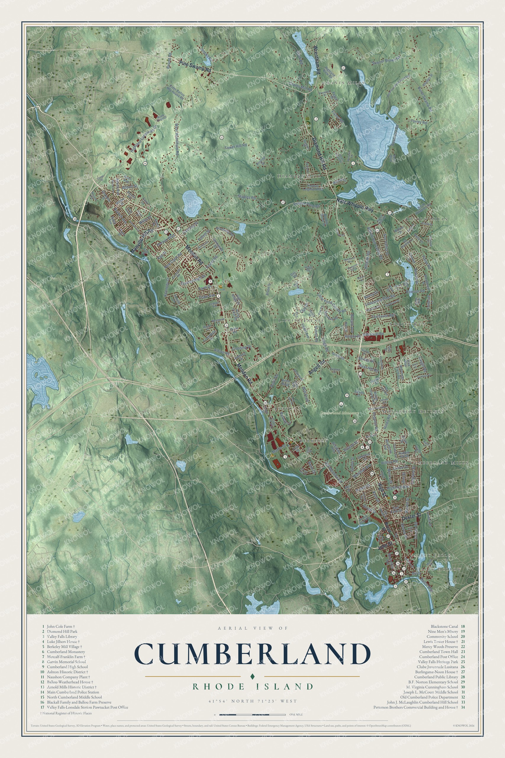
Explore Cumberland, Rhode Island from a whole new perspective. Created using aerial imagery and detailed geographic data, this map captures Cumberland building by building, with labeled streets, familiar landmarks, and shaded topographical relief that highlights the natural contours of the landscape.
Combining modern data with the timeless character of a vintage atlas, this map is just as interesting up close as it is beautiful on the wall. Whether you grew up in Cumberland, spent memorable years there, or call it home today, this unique map is a great way to celebrate a place that means something to you. Zoom in on the preview to look for your street, and then order a print to put your memories on the wall.
Three ways to hang it
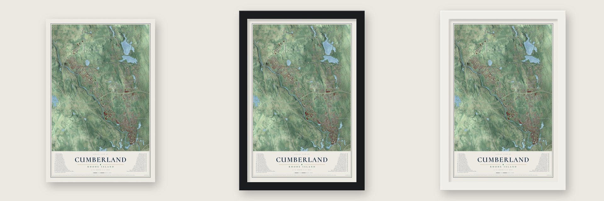
Unframed archival matte, a black wood frame or a white wood frame.
Up close
Geography Worth Displaying
This map was created using accurate cartographic data and authoritative geographic sources, including the U.S. Geological Survey (USGS) and FEMA. The map brings together terrain, waterways, roads, and building detail. The majority of the streets are labeled, houses are accurately depicted, and the topography is derived from government sources. Combining local data with carefully composed color and shading leads to this beautifully detailed Cumberland artwork for your wall.
Rather than simply showing street outlines, we’ve included as many of the street names as we could reasonably fit on the map while keeping their names legible. Zoom in on the high resolution preview to see exactly what’s on the map. We truly set out to create a statement piece for anyone who loves Cumberland. So whether it’s for you, or a gift for someone you love, we hope this map of Cumberland brings back fond memories.
Explore the full map of Cumberland, Rhode Island and read about the local places it shows.
Find your street
Names on the Cumberland map
Every name below is printed on this map. Look for your street, your school, the park where you played, or the pond down the road.
Places and landmarks12
- Happy Hollow
- Valley Falls
- Grants Mills
- Cumberland Monastery
- Abbott Run
- Arnold Mills
- Lippitt Estate
- Berkeley
- Cumberland Mills
- Diamond Hill
- Ashton
- Monastery Heights
Streets and roads205
- Mendon Road
- Diamond Hill Road
- High Street
- John Street
- Dexter Street
- Pine Swamp Road
- Wrentham Road
- Nate Whipple Highway
- Angell Road
- Manville Hill Road
- Bear Hill Road
- Highland Corporate Drive
- Broad Street
- Torrey Road
- Curran Road
- West Wrentham Road
- Abbott Run Valley Road
- Little Pond County Road
- Tower Hill Road
- Scott Road
- Pound Road
- Sumner Brown Road
- Reservoir Road
- Hines Road
- Staples Road
- Burnt Swamp Road
- Leigh Road
- Sneech Pond Road
- England Street
- Bryant Street
Show all 205 streets
- Farm Drive
- Cook Road
- Aurora Drive
- Albion Road
- Sun Valley Drive
- Fisher Road
- Hillside Road
- Bound Road
- Heroux Boulevard
- Newell Drive
- Highland Avenue
- Paine Road
- Marshall Avenue
- Crossing Drive
- Lonesome Pine Road
- Old Mendon Road
- Fairhaven Road
- Rawson Road
- Grants Mill Road
- Scarborough Drive
- Hilltop Road
- Willis Drive
- Kay Street
- Martin Street
- New Clark Road
- Jencks Road
- Industrial Road
- Morris Street
- Ronald Avenue
- Roland Street
- Branch Avenue
- Iroquois Road
- Cargill Road
- Shirley Drive
- Pollett Street
- Hewes Street
- Kent Street
- Follett Street
- Canning Street
- Kennedy Court
- Ralco Way
- Ann Street
- Aborn Avenue
- Fiske Avenue
- Club Drive
- Abbott Street
- Barway Lane
- Will Croft
- Nancy Drive
- Berm Drive
- Mill Street
- Lippitt Avenue
- Thomas Leighton Boulevard
- Windsong Road
- North Attleboro Road
- Bourque Road
- Metcalf Drive
- High Ridge Drive
- Highland View Road
- Woodside Avenue
- Macondray Avenue
- Elder Ballou Mtg House Road
- Summit Road
- Garden Street
- Rhode Island Avenue
- Bonnie Brook Drive
- Carlson Drive
- Britts Ridge
- Rocky Crest Road
- Rabbitt Hill Road
- Forestdale Drive
- Crowell Street
- Flat Street
- Emmett Lane
- Woodcrest Drive
- Alaska Street
- East Earle Street
- Frederick Lane
- Weeks Street
- Rhodes Street
- Harriet Lane
- Bruce Drive
- Grove Road
- Blissdale Avenue
- Silo Drive
- Sunnyside Drive
- Governor Street
- Waterman Farm Road
- Holly Lane
- Front Street
- Avon Avenue
- Sonny Drive
- Doire Road
- Barn Drive
- Chestnut Street
- Pristine Drive
- Salvas Court
- Anthony Drive
- Susan Drive
- Kern Boulevard
- Robin Avenue
- Wollen Drive
- Apache Lane
- Plant Street
- Ursa Way
- Cozy Lane
- Peggy Drive
- Dorr Street
- Cray Street
- Day Road
- Crestwood Court
- Reservoir Road Extended
- Quaker Road
- Beach Road
- Ashton Park Way
- Terrace Avenue
- Arnold Drive
- Roosevelt Road
- Arnold Mills Road
- Pine Road
- Waumsett Avenue
- Orchard Drive
- Westwood Drive
- New York Avenue
- Ann and Hope Way
- America Street
- Forest Avenue
- Old Meadow Lane
- Kings Row
- Myrtle Street
- Fieldside Drive
- Blanche Avenue
- Douglas Drive
- Old Whipple Street
- Raymond Drive
- Brookwood Lane
- Leddy Road
- Tuscan Court
- Preserve Drive
- Lambert Avenue
- Maple Ridge Drive
- Wysteria Lane
- Hunter Drive
- David Street
- Intervale Drive
- Jason Grant Drive
- Wayne Drive
- Second Avenue
- Sharon Drive
- Lynch Place
- Cedar Way
- Katie Lane
- Countryside Drive
- Red Gate Road
- Birch Road
- Thompson Hill Drive
- Stream View Drive
- Fairview Avenue
- Desmarais Street
- Clark Street
- Valley View Drive
- Mayflower Drive
- Buckboard Drive
- Biltmore Avenue
- Seneca Street
- Amherst Street
- Westbrook Way
- Eddy Street
- Elmwood Drive
- Anvil Drive
- Theater Road
- Indiana Avenue
- Merrill Lane
- Comet Street
- Mason Drive
Names are listed as they appear on the printed map. Zoom into the product photos to find them.
About Cumberland, Rhode Island
Cumberland is a town of 36,405 people in Providence County, and that count makes it the largest town in Rhode Island. Settlers first came in 1635, when the land belonged to Wrentham, Massachusetts, and it passed to Rhode Island only after a long quarrel over the colonial boundary. The town was incorporated in 1746, and its name honors Prince William, Duke of Cumberland.
Its first European settler, William Blackstone, had already been the first to settle Boston, but he left after falling out over religion with the Puritans who followed him. At his farm near Lonsdale he preached a tolerant Christianity beneath an oak and raised the Yellow Sweeting, the first American apple variety. The Ann & Hope mill now stands where his house once stood.
- Cannons from local ironDuring the French and Indian War and again in the Revolution, Cumberland's iron works cast cannons and cannonballs. Some colonial cannons were made from Cumberlandite, now the state rock, whose only large deposit in the world lies off Elder Ballou Meeting House Road, but those casts were poor and prone to crack. Later a Cumberland machine shop built America's first power looms for woolens, and the Capron Mill in Uxbridge is said to have run them around 1820.
- Mill villages on the BlackstoneThe Lonsdale Company put up a big brick mill at Ashton in 1867, on a narrow flood plain on the east bank of the Blackstone River, with tight rows of brick houses for its workers. Sawyer's high-speed spindle was first tried on a big scale in this mill. In 1872 the company followed with Berkeley Mill Village, where workers lived in brick duplexes and Queen Anne houses lined Mendon Street.
- Farms worked since the 1700sAround 1770 John Cole built the Cape-style farmhouse of Intervale Farm on Reservoir Road; the John Cole Farm joined the National Register in 1977. The Metcalf family began working the Metcalf-Franklin Farm on Abbott Run Valley Road in 1801, and the Franklins ran it from 1857 to 2005 as the town's last working dairy farm. Now town-owned, it has given local pantries and the Rhode Island Community Food Bank over 375,000 pounds of volunteer-grown produce.
- Diamond Hill's white quartzColonial settlers named Diamond Hill for the way its huge outcrop of white quartz sparkles. Skiers rode its slopes at Ski Valley from 1939 to 1981, and the town took the hill over from the state in 1997. It's now a 373-acre park with fields and trails, the starting point of the Warner Trail, and the grounds for Cumberlandfest on the second weekend of every August.
- A prom date in 1980Aaron Fricke asked Cumberland High School in 1980 if he could bring a same-sex date to the prom, and the school said no. He went to federal court, which ruled in Fricke v. Lynch that turning him down violated his right to free speech. The case became an early legal win for LGBT rights.
Keep exploring Rhode Island
Cumberland is one of 86 Rhode Island towns we've mapped. Every dot on the map is a print of its own.
The search covers every state, Rhode Island first.
Near Cumberland
Order 2 or more town maps and save 10%. Shown in the size and finish you picked above, so they hang as a set.
- Ashton 12" x 18" / Archival Matte Print $39.99
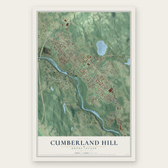
- Cumberland Hill 12" x 18" / Archival Matte Print $39.99
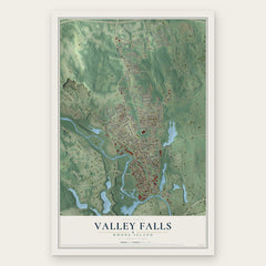
- Valley Falls 12" x 18" / Archival Matte Print $39.99

More maps nearby: Lincoln, Lonsdale, Woonsocket, Saylesville and Central Falls.
The art of mapping a place
How This Map Was Made
Real places. Remarkable detail. Discover the layers that turn geographic data into a map of home.

The view from above
Aerial imagery reveals the character of the land: woodland, open fields, and the patterns of a place.

The shape of the land
Elevation data brings hills, valleys, and subtle changes in the landscape into view.

The details of home
Roads, waterways, and building footprints come together to make the map feel unmistakably local.

Geography becomes art
Considered color, shading, and typography bring the layers together in a map made for your wall.


Process illustrated with Mendon, Massachusetts. Aerial imagery: USDA NAIP. Terrain: USGS 3D Elevation Program. Map details and finished artwork: KNOWOL.
The Details
About This Print
Choose an archival matte print, or a black or white Ayous wood frame. The archival matte print is unframed.
Select your size and finish above to see the matching product image and price.
Materials & Craftsmanship
A contemporary map with the character of a classic atlas, printed on archival matte paper. Optional frames are made from Ayous wood.
Your printed map does not include the watermark shown in the full-map preview.
Shipping & Delivery
Free shipping within the United States. Every print is made to order in the USA.
Buying a gift? Add a note in your cart and we'll include it. We never put prices in the package.
Prints ship within 2 to 3 business days. Allow 7 to 10 days total from ordering for delivery. Timing may vary during holidays or periods of high order volume.
Read our shipping policy.
Returns and damaged prints
Each print is made to order. Change-of-mind refunds are not available after production.
If your print arrives damaged, misprinted or incorrect, contact support@knowol.com within 30 days of receiving it. Include your order number, photos and a description of the issue.
Read our full refund and replacement policy. For questions about your order, email support@knowol.com.