
Search for another town




Free U.S. delivery 7 to 10 days after you order
East Los Angeles, California Map Art
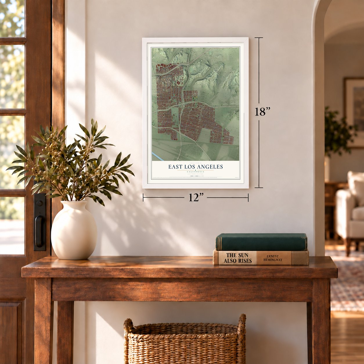
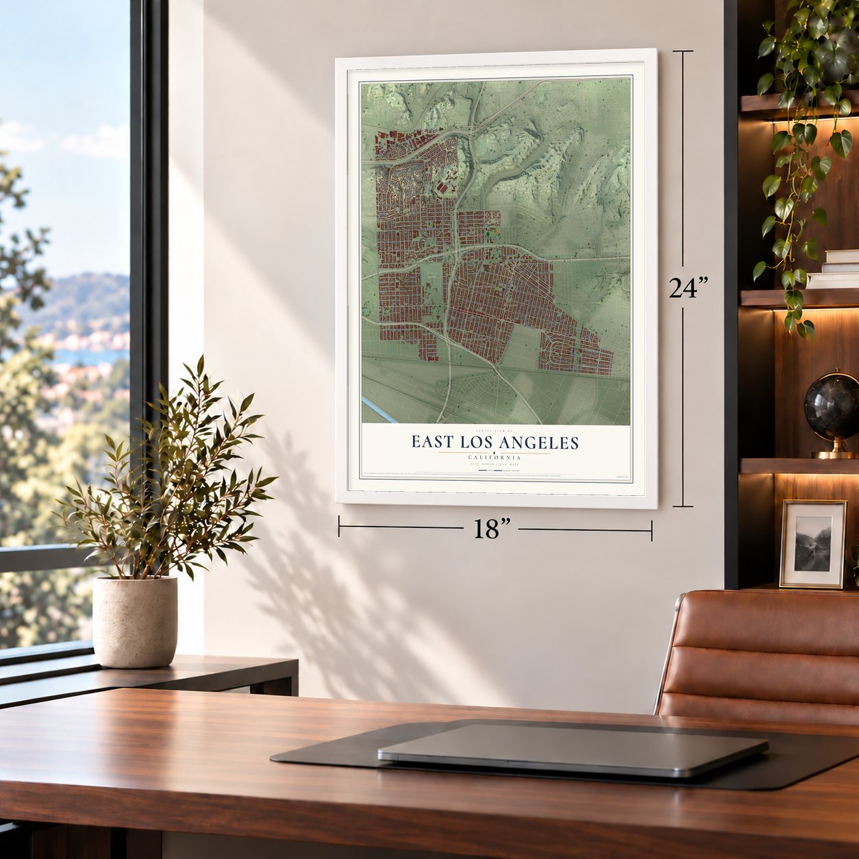
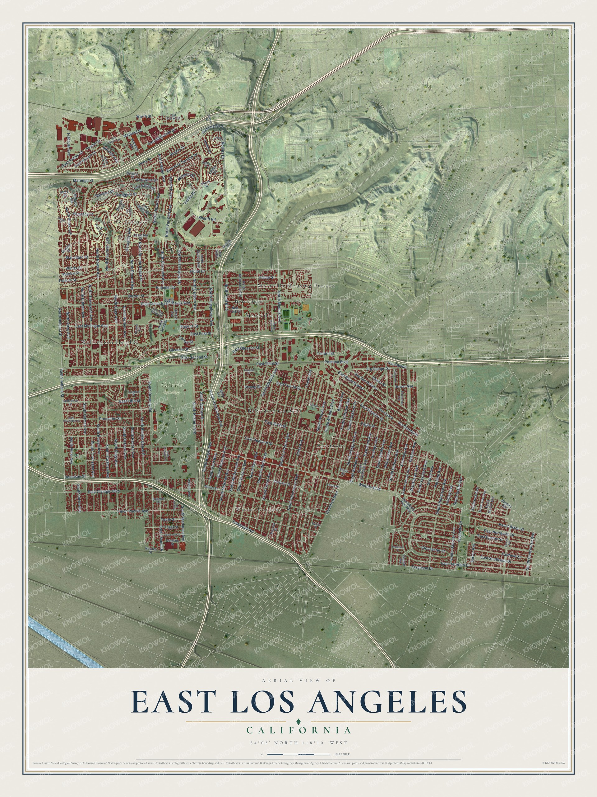
A new map of East Los Angeles, California, made in 2026 and printed to order on thick archival matte paper.
12" x 18" Archival Matte Print
A Map of Home. A Work of Art.
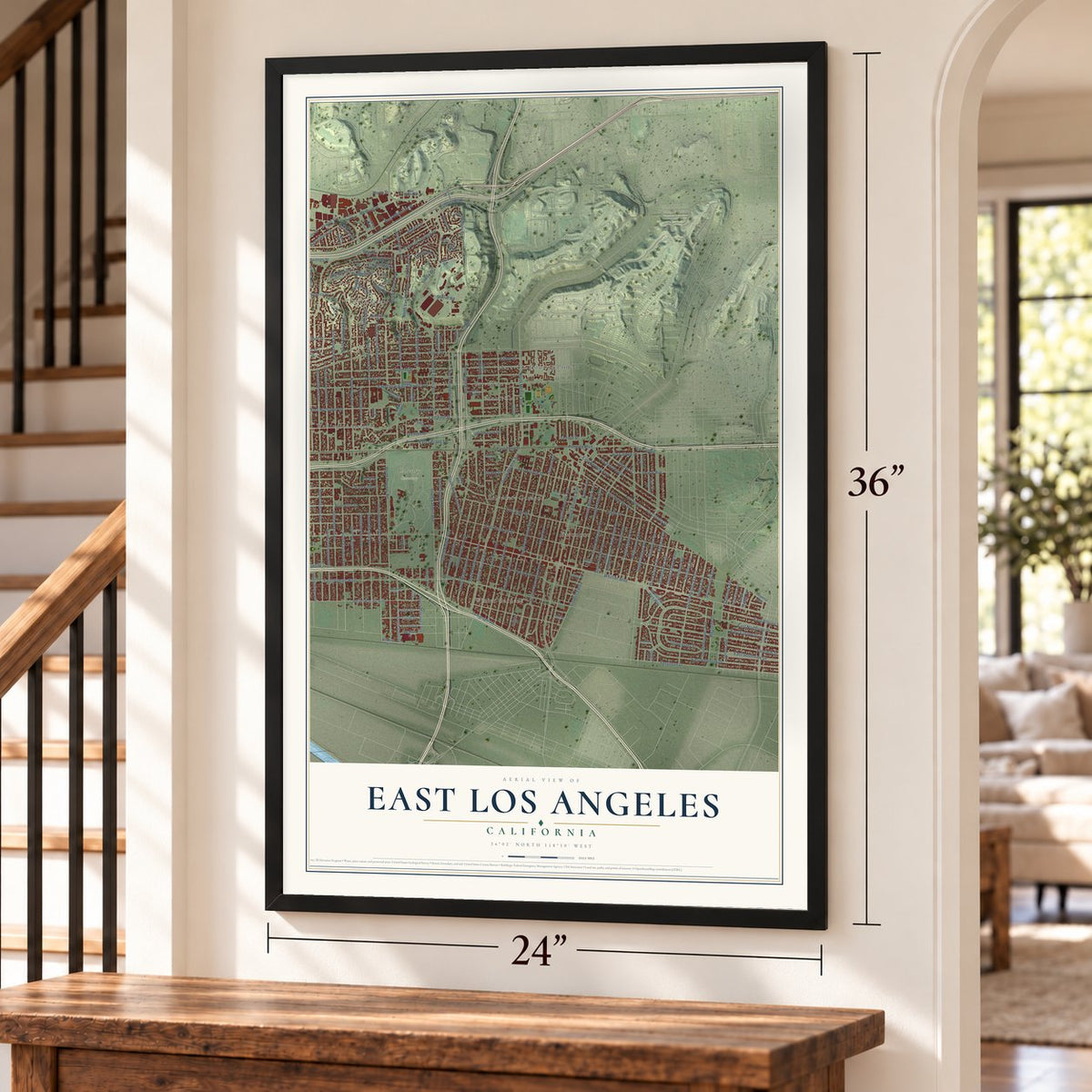
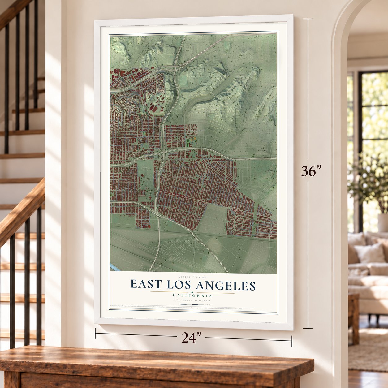
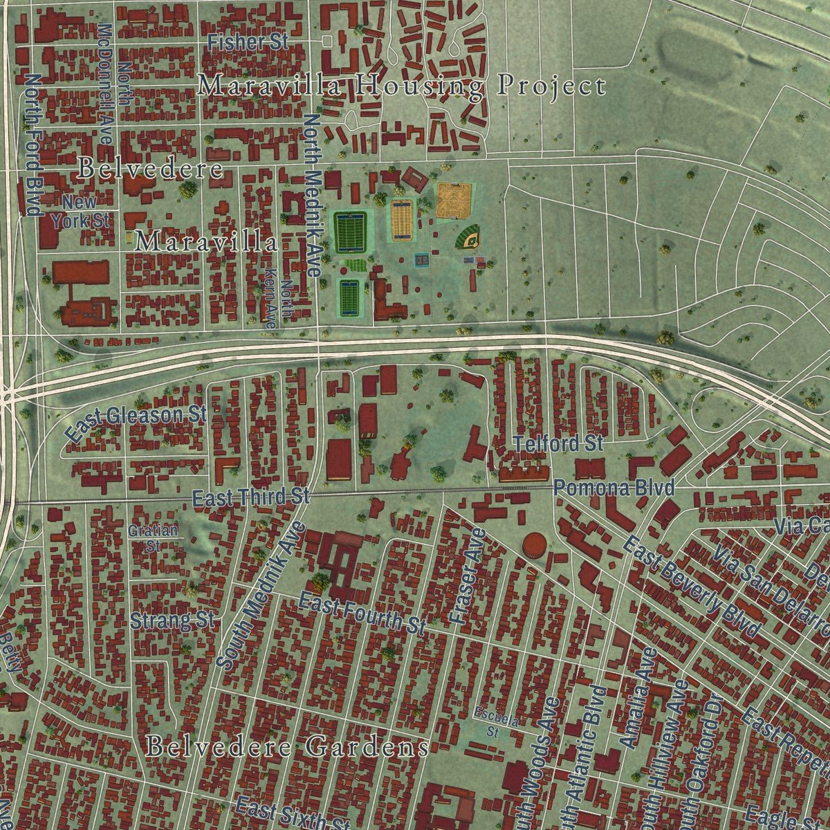
Explore East Los Angeles, California from a whole new perspective. Created using aerial imagery and detailed geographic data, this map captures East Los Angeles building by building, with labeled streets, familiar landmarks, and shaded topographical relief that highlights the natural contours of the landscape.
Combining modern data with the timeless character of a vintage atlas, this map is just as interesting up close as it is beautiful on the wall. Whether you grew up in East Los Angeles, spent memorable years there, or call it home today, this unique map is a great way to celebrate a place that means something to you. Zoom in on the preview to look for your street, and then order a print to put your memories on the wall.
Three ways to hang it
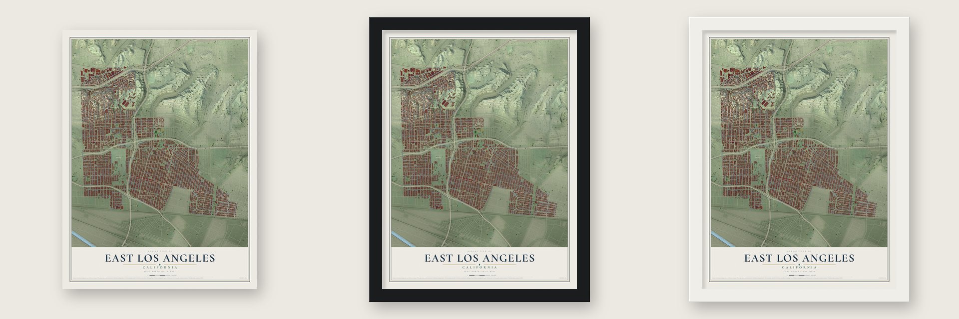
Unframed archival matte, a black wood frame or a white wood frame.
Up close
Geography Worth Displaying
This map was created using accurate cartographic data and authoritative geographic sources, including the U.S. Geological Survey and the Census Bureau. The map brings together terrain, waterways, roads, and building detail. The majority of the streets are labeled, houses are accurately depicted, and the topography is derived from government sources. Combining local data with carefully composed color and shading leads to this beautifully detailed East Los Angeles artwork for your wall.
Rather than simply showing street outlines, we’ve included as many of the street names as we could reasonably fit on the map while keeping their names legible. Zoom in on the high resolution preview to see exactly what’s on the map. We truly set out to create a statement piece for anyone who loves East Los Angeles. So whether it’s for you, or a gift for someone you love, we hope this map of East Los Angeles brings back fond memories.
Read the story behind this map of East Los Angeles, California from 2026.

About East Los Angeles, California
East Los Angeles is an unincorporated community of 118,786 people in Los Angeles County, east of the Los Angeles River. The name first belonged to a different place: the neighborhood now called Lincoln Heights, laid out in 1873, was East Los Angeles until its residents voted for a new name in 1917. The old name then passed to Belvedere and the county land around it, and by the 1930s most maps used it.
Local business leaders made the change official in 1932. Five years later the Automobile Club of Southern California set up three big signs reading "Belvedere Gardens," so the business leaders pulled them out of the ground and held a mock funeral for them, with 150 officials from the state, county and city looking on. They named the area East Los Angeles once more, several county buildings took the new name, and the community then had 75,000 residents.
“declared to be the largest unincorporated locality in the world.”
- Belvedere Heights in 1905In 1905 the Janss Investment Company opened a 170-acre tract at the end of the Los Angeles Railway's "R" streetcar line. First called Hazard's Eastside Extension, it was sold as Belvedere Heights. Factory workers to the south wanted homes nearby, so in February 1921 Janss bought 150 more acres and laid out Belvedere Gardens. By 1922 the company said it had sold 6000 lots, with 35,000 residents in Belvedere Heights.
- Water that kept it independentA private groundwater company formed in 1926, now California Water Service, gave the area its own water supply. Because of it, the community never had to join the City of Los Angeles to get water from the Los Angeles Aqueduct. Without a city property tax or city bond taxes, East Los Angeles stayed a low-tax home for working families for decades.
- Occidental College began hereWorkers laid the cornerstone of Occidental College's first building on Rowan Street in September 1887. Fire destroyed that building in 1896.
- California's oldest Latino-owned bankPan American National Bank of East Los Angeles is the oldest bank in California owned by Latinos, and its growth followed the rise of the Mexican American community here after World War II. It joined the National Register in 2017.
- The East LA ClassicJames A. Garfield High School opened in 1925 for grades 7 through 12, and students could earn two diplomas there. Each year its football team plays Theodore Roosevelt High School in the East LA Classic, a game that usually draws more than 25,000 fans.
Find your street
Names on the East Los Angeles map
Every name below is printed on this map. Look for your street, your school, the park where you played, or the pond down the road.
Places and landmarks9
- Winter Gardens
- Calvary Cemetery
- Belvedere
- Belvedere Gardens
- City Terrace
- Eastmont
- Maravilla
- Maravilla Housing Project
- Wellington Heights
Streets and roads212
- East Third Street
- South Gage Avenue
- Pomona Boulevard
- Ramona Boulevard
- North Mednik Avenue
- South Mednik Avenue
- South Ditman Avenue
- East Whiteside Street
- North Gage Avenue
- North Ford Boulevard
- East First Street
- East Fowler Street
- Fowler Street
- Milburn Drive
- East Repetto Street
- South Woods Avenue
- Simmons Avenue
- Via Corona Street
- North Humphreys Avenue
- South Ford Boulevard
- Telegraph Road
- Clela Avenue
- South Eastman Avenue
- Gleason Street
- Whittier Boulevard
- South Atlantic Boulevard
- East Olympic Boulevard
- East Hubbard Street
- South Arizona Avenue
- East Sixth Street
Show all 212 streets
- East City Terrace Drive
- North Eastern Avenue
- Floral Drive
- East Cesar East Chavez Avenue
- East Northside Drive
- Eagle Street
- East Southside Drive
- East Beverly Boulevard
- Union Pacific Avenue
- South Bonnie Beach Place
- South Vancouver Avenue
- South Downey Road
- East Michigan Avenue
- Verona Street
- South La Verne Avenue
- Fraser Avenue
- East Fourth Street
- South Gerhart Avenue
- South McDonnell Avenue
- North Rowan Avenue
- South Fetterly Avenue
- South Kern Avenue
- South Eastern Avenue
- South Rowan Avenue
- North Ditman Avenue
- South Hillview Avenue
- Hammel Street
- North Bonnie Beach Place
- South Ferris Avenue
- South Indiana Street
- Amalia Avenue
- East Hereford Drive
- East Allston Street
- North Herbert Avenue
- Dozier Street
- North Hicks Avenue
- Ferguson Drive
- North Hazard Avenue
- North Alma Avenue
- Folsom Street
- South McBride Avenue
- Blanchard Street
- South Sadler Avenue
- Dennison Street
- East Fifth Street
- South Herbert Avenue
- North Eastman Avenue
- Fisher Street
- North Indiana Street
- Fairfield Street
- East Easton Street
- Medford Street
- South Margaret Avenue
- South Record Avenue
- South Hendricks Avenue
- South Townsend Avenue
- North Townsend Avenue
- South Sunol Drive
- South Duncan Avenue
- North Miller Avenue
- Woolwine Drive
- South Alma Avenue
- South Humphreys Avenue
- North Marianna Avenue
- North Van Pelt Avenue
- Van Pelt Avenue
- South Oakford Drive
- South Burger Avenue
- South Concourse Avenue
- East Second Street
- North Record Avenue
- Goodrich Boulevard
- South Marianna Avenue
- Via San Delarro
- South Hicks Avenue
- Dwiggins Street
- South Belden Avenue
- Eastmont Avenue
- Saybrook Avenue
- Hoefner Avenue
- Geraghty Avenue
- Williamson Avenue
- Westside Drive
- Rogers Street
- Helen Drive
- Dewar Avenue
- Luella Drive
- Via Campo Street
- South Sydney Drive
- Ramboz Drive
- Keenan Avenue
- North Brannick Avenue
- Pomeroy Street
- South Leonard Avenue
- Bradshawe Avenue
- South Hanover Avenue
- Eugene Street
- East Gleason Street
- School Avenue
- Rollins Drive
- Dewar Street
- Harding Avenue
- Sheriff Road
- Marengo Street
- Winter Street
- Gloucester Street
- Server Avenue
- Findlay Avenue
- Princeton Street
- East Ellison Street
- Perry Street
- South Brady Avenue
- Zaring Street
- Telford Street
- Fishburn Avenue
- Strang Street
- Worth Street
- Attridge Avenue
- Tuttle Street
- Via Campo
- Montebello Park Way
- Via Corona
- North Sunol Drive
- South Eastmont Avenue
- North McDonnell Avenue
- Percy Street
- South Keenan Avenue
- Service Street
- East Ramboz Drive
- Triggs Street
- Gifford Avenue
- Stringer Avenue
- Lanfranco Street
- Volney Drive
- Boswell Place
- New York Street
- East Snow Drive
- Malabar Street
- Dickson Avenue
- Dobinson Street
- Louis Place
- South Hay Avenue
- Dunham Street
- North Sydney Avenue
- Noakes Street
- Wilkins Avenue
- South Mobile Avenue
- Knowles Avenue
- Dundas Street
- Mines Street
- Betty Avenue
- Morrow Place
- Repetto Avenue
- Gaspar Avenue
- Lopez Avenue
- Hauck Street
- Story Street
- Blackshear Avenue
- North Kern Avenue
- Gratian Street
- East San Carlos Street
- Comly Street
- De Garmo Drive
- East Princeton Street
- North Dunn Avenue
- East Drucker Street
- McBride Avenue
- Nevada Avenue
- Langford Street
- Pacific Place
- East Medford Street
- South Brannick Avenue
- Garfield Avenue
- Coates Avenue
- East Lovett Street
- Ganahl Street
- Twickenham Avenue
- Escuela Street
- Campus Road
- Brookfield Street
- Tarzon Street
- Augusta Avenue
Names are listed as they appear on the printed map. Zoom into the product photos to find them.
The art of mapping a place
How This Map Was Made
Real places. Remarkable detail. Discover the layers that turn geographic data into a map of home.

The view from above
Aerial imagery reveals the character of the land: woodland, open fields, and the patterns of a place.

The shape of the land
Elevation data brings hills, valleys, and subtle changes in the landscape into view.

The details of home
Roads, waterways, and building footprints come together to make the map feel unmistakably local.

Geography becomes art
Considered color, shading, and typography bring the layers together in a map made for your wall.


Process illustrated with Mendon, Massachusetts. Aerial imagery: USDA NAIP. Terrain: USGS 3D Elevation Program. Map details and finished artwork: KNOWOL.
The Details
About This Print
Choose an archival matte print, or a black or white Ayous wood frame. The archival matte print is unframed.
Select your size and finish above to see the matching product image and price.
Materials & Craftsmanship
A contemporary map with the character of a classic atlas, printed on archival matte paper. Optional frames are made from Ayous wood.
Your printed map does not include the watermark shown in the full-map preview.
Shipping & Delivery
Free shipping within the United States. Every print is made to order in the USA.
Buying a gift? Add a note in your cart and we'll include it. We never put prices in the package.
Prints ship within 2 to 3 business days. Allow 7 to 10 days total from ordering for delivery. Timing may vary during holidays or periods of high order volume.
Read our shipping policy.
Returns and damaged prints
Each print is made to order. Change-of-mind refunds are not available after production.
If your print arrives damaged, misprinted or incorrect, contact support@knowol.com within 30 days of receiving it. Include your order number, photos and a description of the issue.
Read our full refund and replacement policy. For questions about your order, email support@knowol.com.
Find your town
Looking for another city?
Find a map of home in our California collection, or any town in the country.
Nearby
Maps of towns near East Los Angeles
Know someone from one of these towns? Their map makes a great gift.
 Monterey Park
, California
From $39.99See the map
 Boyle Heights
, California
From $39.99See the map
 Commerce
, California
From $39.99See the map
More maps nearby: Maywood, Vernon, Montebello, Bell and Lincoln Heights.