
Search for another town




Free U.S. delivery 7 to 10 days after you order
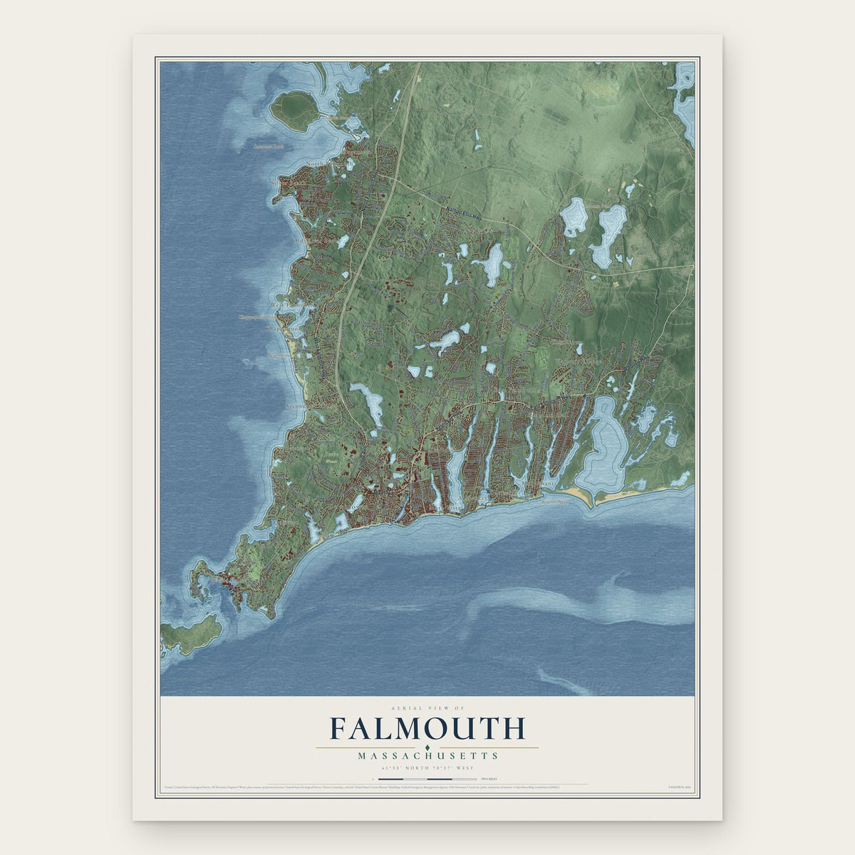
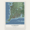
Falmouth, Massachusetts Map Art
Building by building, with labeled streets and shaded relief.
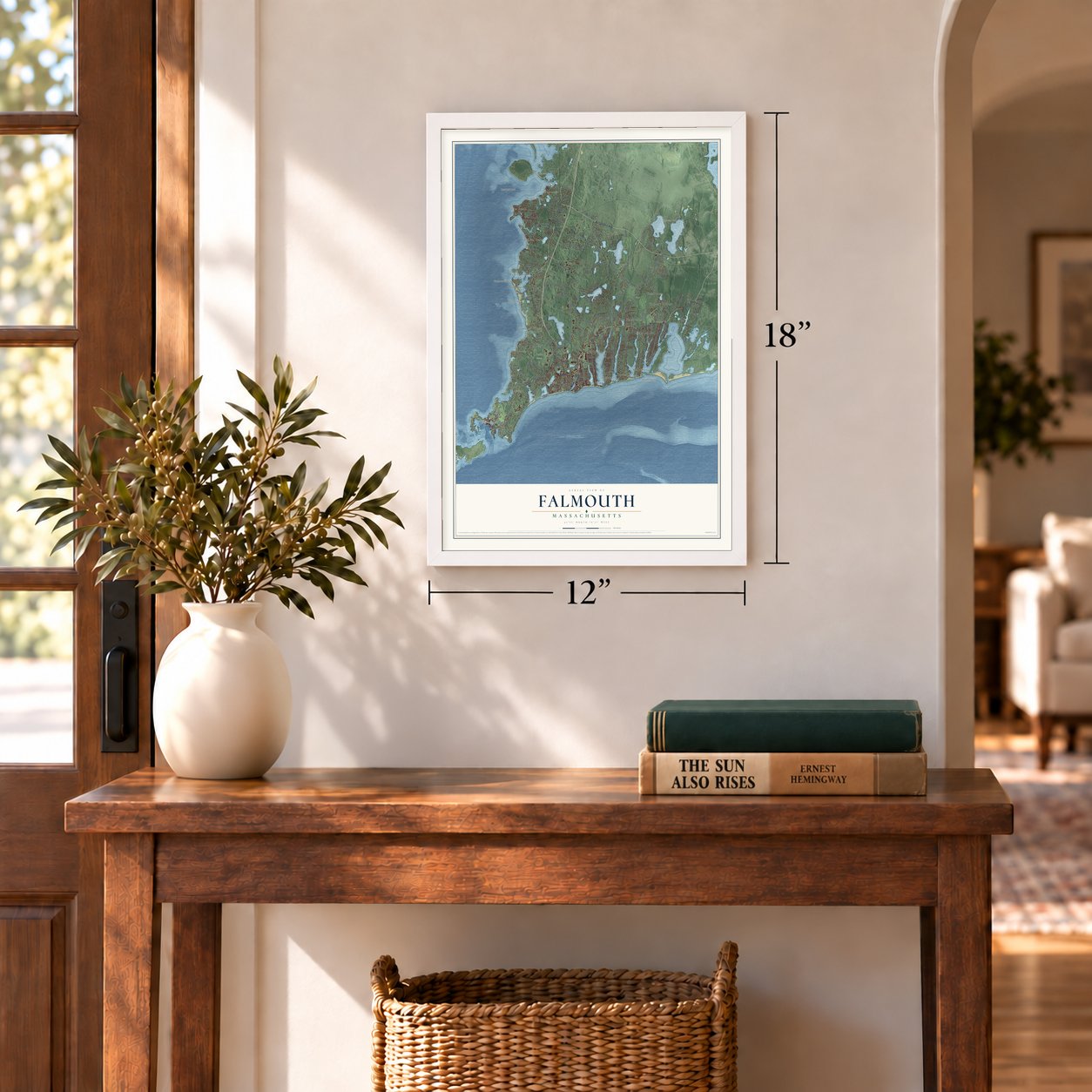
12" x 18" Archival Matte Print
A Map of Home. A Work of Art.
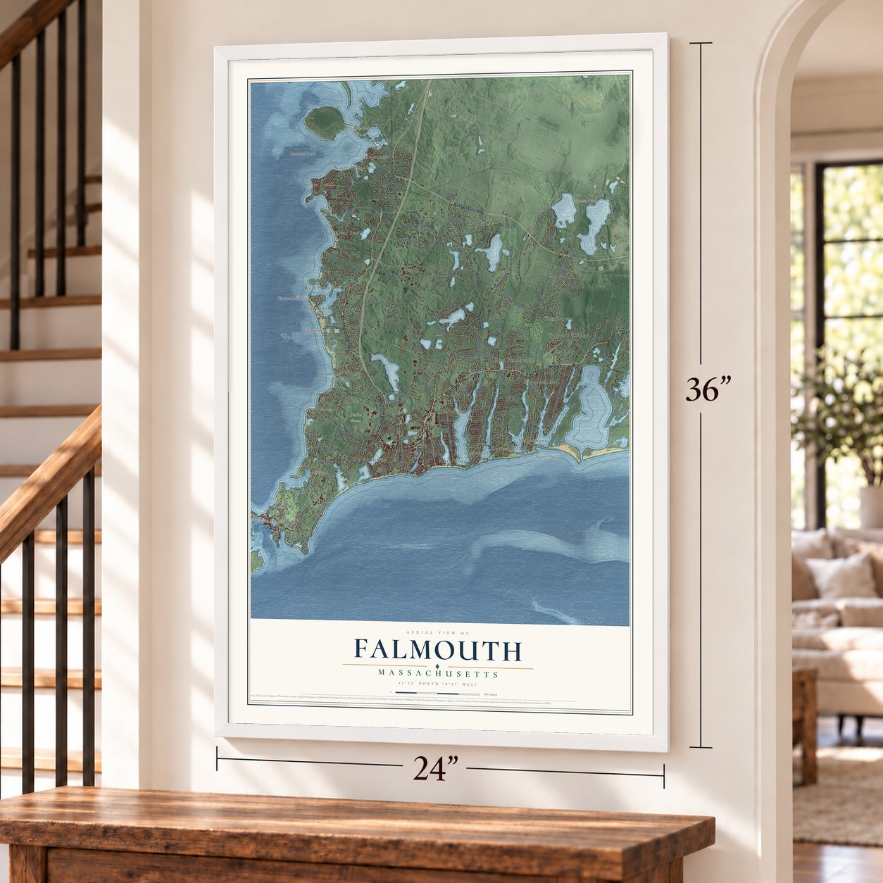
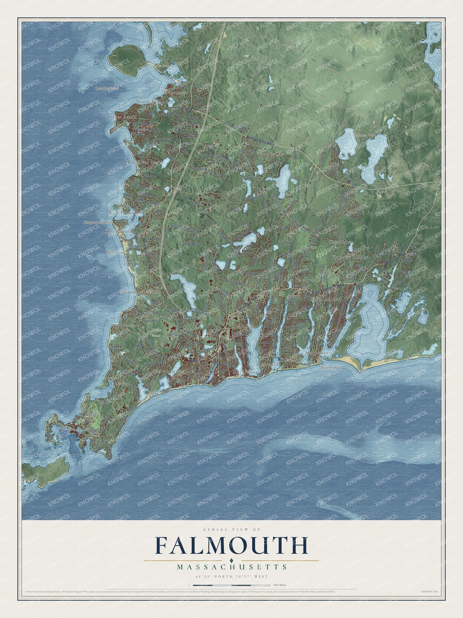
Explore Falmouth, Massachusetts from a whole new perspective. Created using aerial imagery and detailed geographic data, this map captures Falmouth building by building, with labeled streets, familiar landmarks, and shaded topographical relief that highlights the natural contours of the landscape.
Combining modern data with the timeless character of a vintage atlas, this map is just as interesting up close as it is beautiful on the wall. Whether you grew up in Falmouth, spent memorable years there, or call it home today, this unique map is a great way to celebrate a place that means something to you. Zoom in on the preview to look for your street, and then order a print to put your memories on the wall.
Three ways to hang it
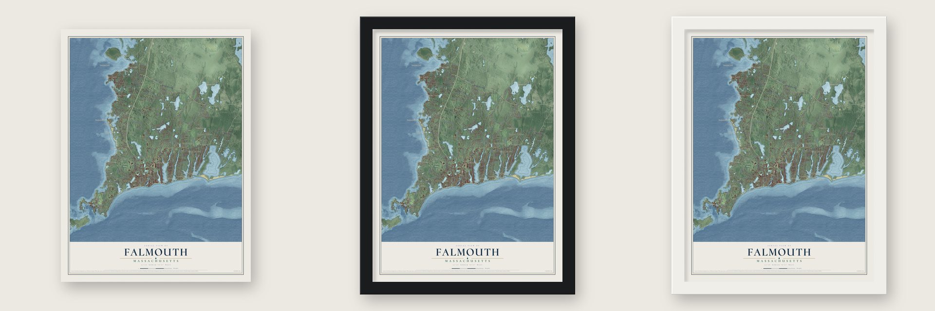
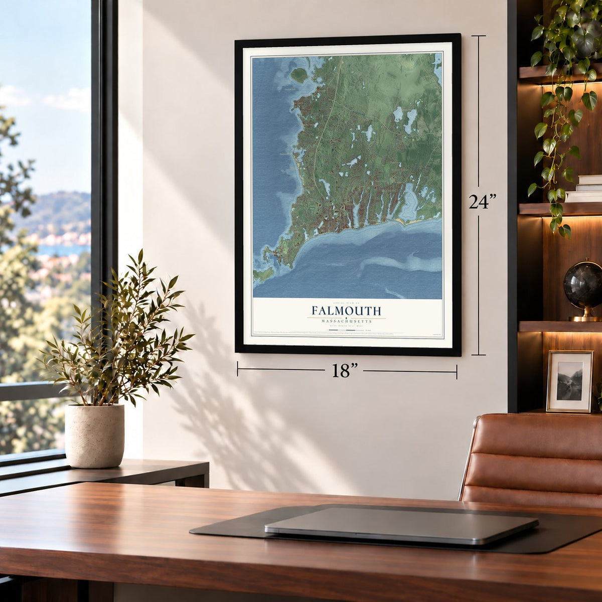
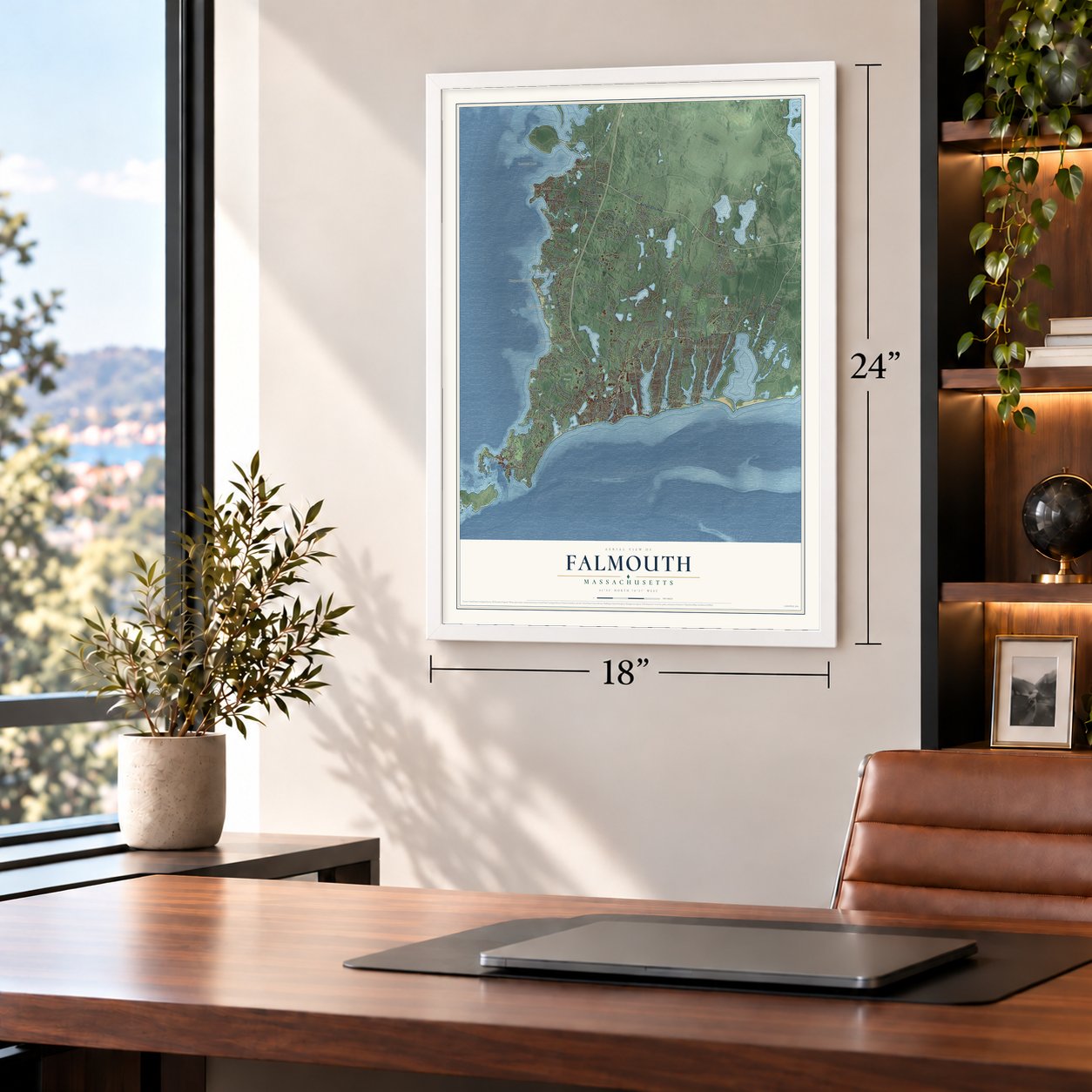
Unframed archival matte, a black wood frame or a white wood frame.
Up close
Geography Worth Displaying
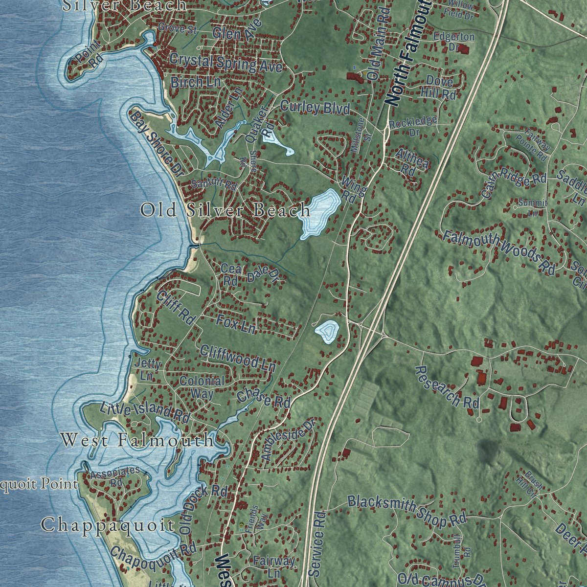
This map was created using accurate cartographic data and authoritative geographic sources, including the U.S. Geological Survey (USGS) and FEMA. The map brings together terrain, waterways, roads, and building detail. The majority of the streets are labeled, houses are accurately depicted, and the topography is derived from government sources. Combining local data with carefully composed color and shading leads to this beautifully detailed Falmouth artwork for your wall.
Rather than simply showing street outlines, we’ve included as many of the street names as we could reasonably fit on the map while keeping their names legible. Zoom in on the high resolution preview to see exactly what’s on the map. We truly set out to create a statement piece for anyone who loves Falmouth. So whether it’s for you, or a gift for someone you love, we hope this map of Falmouth brings back fond memories.
Explore the full map of Falmouth, Massachusetts and read about the local places it shows.
Find your street
Names on the Falmouth map
Every name below is printed on this map. Look for your street, your school, the park where you played, or the pond down the road.
Places and landmarks28
- Downtown
- Woods Hole
- Megansett
- Silver Beach
- Amrita Island
- Bournes Neck
- Cataumet Rock
- Chappaquoit Point
- Ashumet Pond
- Beach Pond
- Beebe Woods
- Waquoit Village
Show all 28 places
- Quissett
- East Falmouth
- Teaticket
- Hatchville
- Mara Vista
- Saconesset Hills
- West Falmouth
- Acapesket
- Sippewisset
- Smalltown
- Kingdom Hall
- Davisville
- Old Silver Beach
- North Falmouth
- Menauhant
- Chappaquoit
Streets and roads259
- West Falmouth Highway
- North Falmouth Highway
- East Falmouth Highway
- Teaticket Highway
- Palmer Avenue
- Main Street
- Nathan Ellis Highway
- Waquoit Highway
- Jones Road
- Grand Avenue
- Worcester Court
- Barrows Road
- Central Avenue
- Nobska Road
- Jericho Path
- Elain Avenue
- Cliff Road
- Sandwich Road
- Woods Hole Road
- Brick Kiln Road
- Old Barnstable Road
- Carriage Shop Road
- Falmouth Woods Road
- Blacksmith Shop Road
- Boxberry Hill Road
- Gifford Street
- Currier Road
- Davisville Road
- Oyster Pond Road
- Hayway Road
Show all 259 streets
- Shorewood Drive
- Acapesket Road
- Ashumet Road
- Pinecrest Beach Drive
- Wild Harbor Road
- Seacoast Shores Boulevard
- Old Main Road
- Maravista Avenue
- Quissett Avenue
- Sam Turner Road
- John Parker Road
- Surf Drive
- Locustfield Road
- Trotting Park Road
- Great Bay Street
- Hill & Plain Road
- Elm Road
- Chapoquoit Road
- Plum Hollow Road
- Turner Road
- Two Ponds Road
- Metoxit Road
- Bay Shore Drive
- Fresh Pond Road
- Dillingham Avenue
- Curley Boulevard
- Mill Road
- Crystal Spring Avenue
- Church Street
- Deer Pond Road
- Cloverfield Way
- Scranton Avenue
- Ostrom Road
- Old Campus Drive
- Bay Road
- Shore Street
- Gifford Street Extension
- Ransom Road
- Fay Road
- Regis Road
- Cliffwood Lane
- Birch Lane
- Drift Road
- Gardiner Road
- McCallum Drive
- Alton's Lane
- Childs River Road
- Tanglewood Drive
- Pattee Road
- Service Road
- Old Dock Road
- Gayle Avenue
- Fox Lane
- Little Island Road
- Research Road
- Lakeview Avenue
- Geggatt Road
- Doran Drive
- Priscilla Street
- Glen Avenue
- Chase Road
- Allen Avenue
- Perry Road
- Fells Road
- Tara Lane
- Ashton Avenue
- Sippewissett Road
- Quaker Road
- Old Meeting House Road
- Hatchville Road
- Cairn Ridge Road
- Highfield Drive
- Edgewater Drive East
- Club Valley Drive
- Beach Road
- Terrace Heun Drive
- Alder Lane
- Lake Shore Drive
- Racing Beach Avenue
- County Road
- Penzance Point Road
- Meadow Neck Road
- Alcott Road
- Timothy Bourne Cartway
- Walker Street
- Riddle Hill Road
- Homestead Lane
- Goeletta Drive
- Red Brook Road
- Cranberry Field Road
- Pumping Station Road
- Colonial Way
- Goodwill Park Road
- Stanhope Road
- Upalong Road
- Saddleback Lane
- Deep Wood Road
- Valley Road
- Dove Hill Road
- Saint Marks Road
- Garnet Avenue
- Sailfish Drive
- Althea Road
- Portside Circle
- Little Neck Bars Road
- Grace Court
- Ambleside Drive
- Beach Street
- Baptiste Lane
- Redlands Road
- Green Pond Road
- Striper Lane
- Perciva Road
- Ryder Road
- Lower Road
- Harbor Hill Road
- Lewis Neck Road
- Parsons Lane
- Burnham Drive
- Loop Road
- Lucerne Avenue
- Locust Street
- Bonito Avenue
- Paola Drive
- Pine Ridge Road
- Crooked Pond Drive
- Parker Road
- Dale Drive
- Ranch Road
- Sao Paulo Drive
- Dodson Way
- Point Road
- Dry Run Road
- Fairway Lane
- Irving Road
- Wilson Road
- Sorrel Circle
- Renee Lane
- Harbor Avenue
- Pilot Way
- Hilton Avenue
- Cea Road
- Jetty Lane
- Wing Road
- High Street
- Menauhant Road
- Edgewater Drive West
- Saconesset Road
- Associates Road
- Gansett Road
- Cumloden Drive
- Beagle Lane
- Seapit Road
- Fordham Road
- King Street
- Rockledge Drive
- Haynes Avenue
- Vidal Avenue
- Terry Lou Avenue
- Pinyon Way
- Edgerton Drive
- Grove Street
- Water Street
- Larches Way
- Santuit Road
- View Crest Drive
- Kerrywood Drive
- Deacons Avenue
- Meadow View Drive
- Joyce Street
- Shady Lane
- Castle Road
- Pires Way
- Kathy Ann Lane
- Nye Road
- Tobey Lane
- Falmouth Heights Road
- North Ockway Road
- Fire Tower Road
- Kompass Drive
- Antlers Shore Drive
- Pebble Lane
- Braeside Road
- Bonnie Lane
- Coonamessett Circle
- Carey Lane
- Hamlin Avenue
- Spectacle Pond Drive
- Atamannsit Road
- Sadys Lane
- Monhegan Road
- Fairway Pointe Road
- Clear Pond Road
- Bittersweet Road
- Trumbull Road
- Minot Street
- Woodrise Road
- Bramble Bush Drive
- Drumlin Road
- Southview Way
- Willow Field Drive
- Shore Road
- Oxbow Road
- Montauk Street
- Crowell Road
- Blair Lane
- Berry Patch Lane
- Misty Harbor Lane
- Ship's Watch
- Pine Street
- Surrey Lane
- Sunfish Lane
- Hartwell Drive
- Green Acres Road
- Millstone Street
- Swing Lane
- Emerson Road
- West Main Street
- Cutter Drive
- Marla Lane
- Barque Drive
- Friends Way
- Ten Acre Lane
- Summit Lane
- Cash's Trail
- Brush Hill Circle
- Gage Drive
- Tam Way
- Garry Avenue
Names are listed as they appear on the printed map. Zoom into the product photos to find them.
About Falmouth, Massachusetts
Falmouth is a Massachusetts community where the 2020 census recorded 32,517 residents. Settlement began in 1660, and the community was incorporated in 1686.
- 2020 populationThe census recorded 32,517 residents in Falmouth.
- Incorporated in 1686It was incorporated in 1686.
Keep exploring Massachusetts
Falmouth is one of 470 Massachusetts towns we've mapped. Every dot on the map is a print of its own.
The search covers every state, Massachusetts first.
Near Falmouth
Order 2 or more town maps and save 10%. Shown in the size and finish you picked above, so they hang as a set.
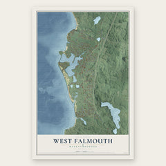
- West Falmouth 12" x 18" / Archival Matte Print $39.99
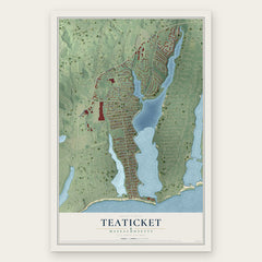
- Teaticket 12" x 18" / Archival Matte Print $39.99
- East Falmouth 12" x 18" / Archival Matte Print $39.99

More maps nearby: North Falmouth, Seabrook, Mashpee, Woods Hole and New Seabury.
The art of mapping a place
How This Map Was Made
Real places. Remarkable detail. Discover the layers that turn geographic data into a map of home.

The view from above
Aerial imagery reveals the character of the land: woodland, open fields, and the patterns of a place.

The shape of the land
Elevation data brings hills, valleys, and subtle changes in the landscape into view.

The details of home
Roads, waterways, and building footprints come together to make the map feel unmistakably local.

Geography becomes art
Considered color, shading, and typography bring the layers together in a map made for your wall.


Process illustrated with Mendon, Massachusetts. Aerial imagery: USDA NAIP. Terrain: USGS 3D Elevation Program. Map details and finished artwork: KNOWOL.
The Details
About This Print
Choose an archival matte print, or a black or white Ayous wood frame. The archival matte print is unframed.
Select your size and finish above to see the matching product image and price.
Materials & Craftsmanship
A contemporary map with the character of a classic atlas, printed on archival matte paper. Optional frames are made from Ayous wood.
Your printed map does not include the watermark shown in the full-map preview.
Shipping & Delivery
Free shipping within the United States. Every print is made to order in the USA.
Buying a gift? Add a note in your cart and we'll include it. We never put prices in the package.
Prints ship within 2 to 3 business days. Allow 7 to 10 days total from ordering for delivery. Timing may vary during holidays or periods of high order volume.
Read our shipping policy.
Returns and damaged prints
Each print is made to order. Change-of-mind refunds are not available after production.
If your print arrives damaged, misprinted or incorrect, contact support@knowol.com within 30 days of receiving it. Include your order number, photos and a description of the issue.
Read our full refund and replacement policy. For questions about your order, email support@knowol.com.