
Search for another town




Free U.S. delivery 7 to 10 days after you order
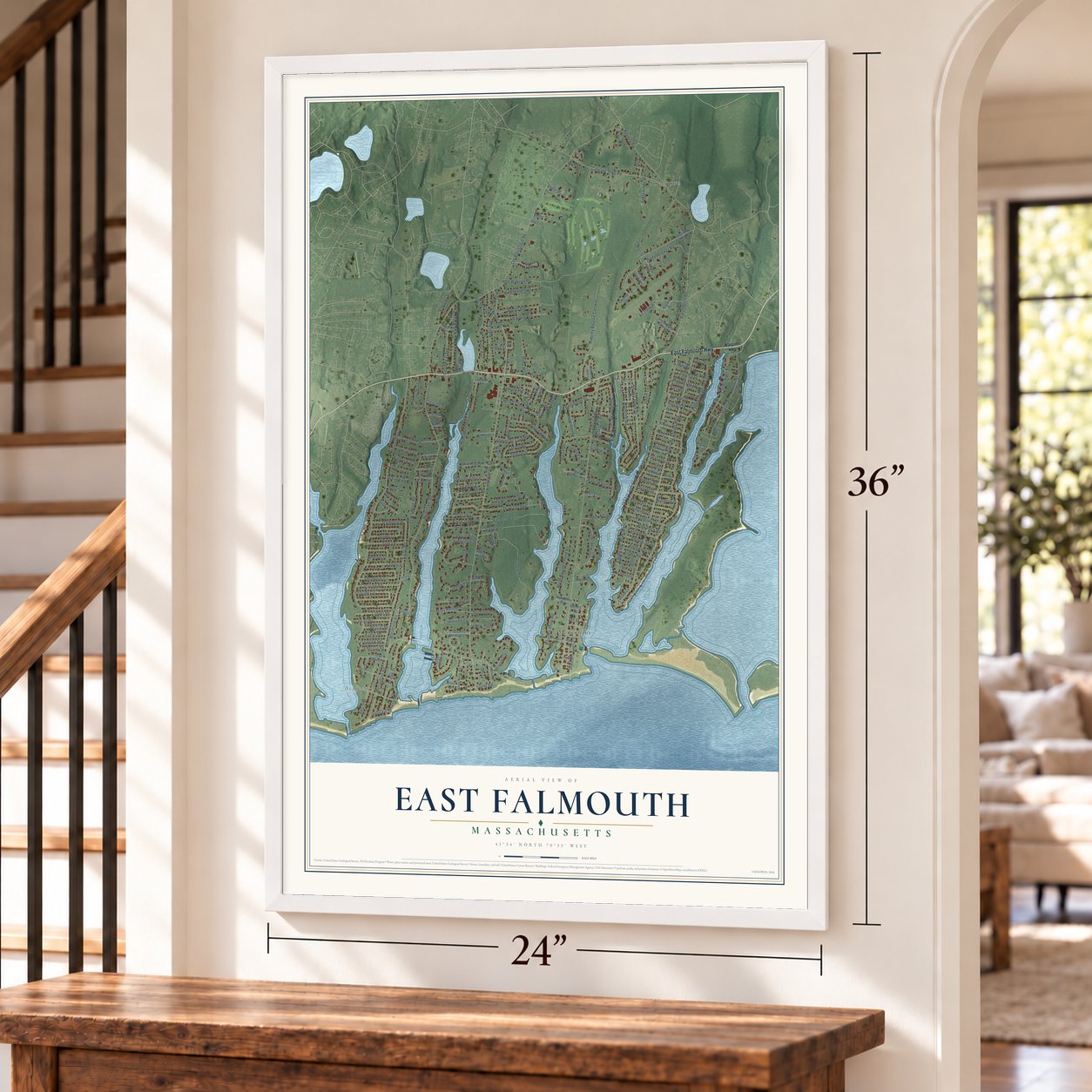
East Falmouth, Massachusetts Map Art
Building by building, with labeled streets and shaded relief.
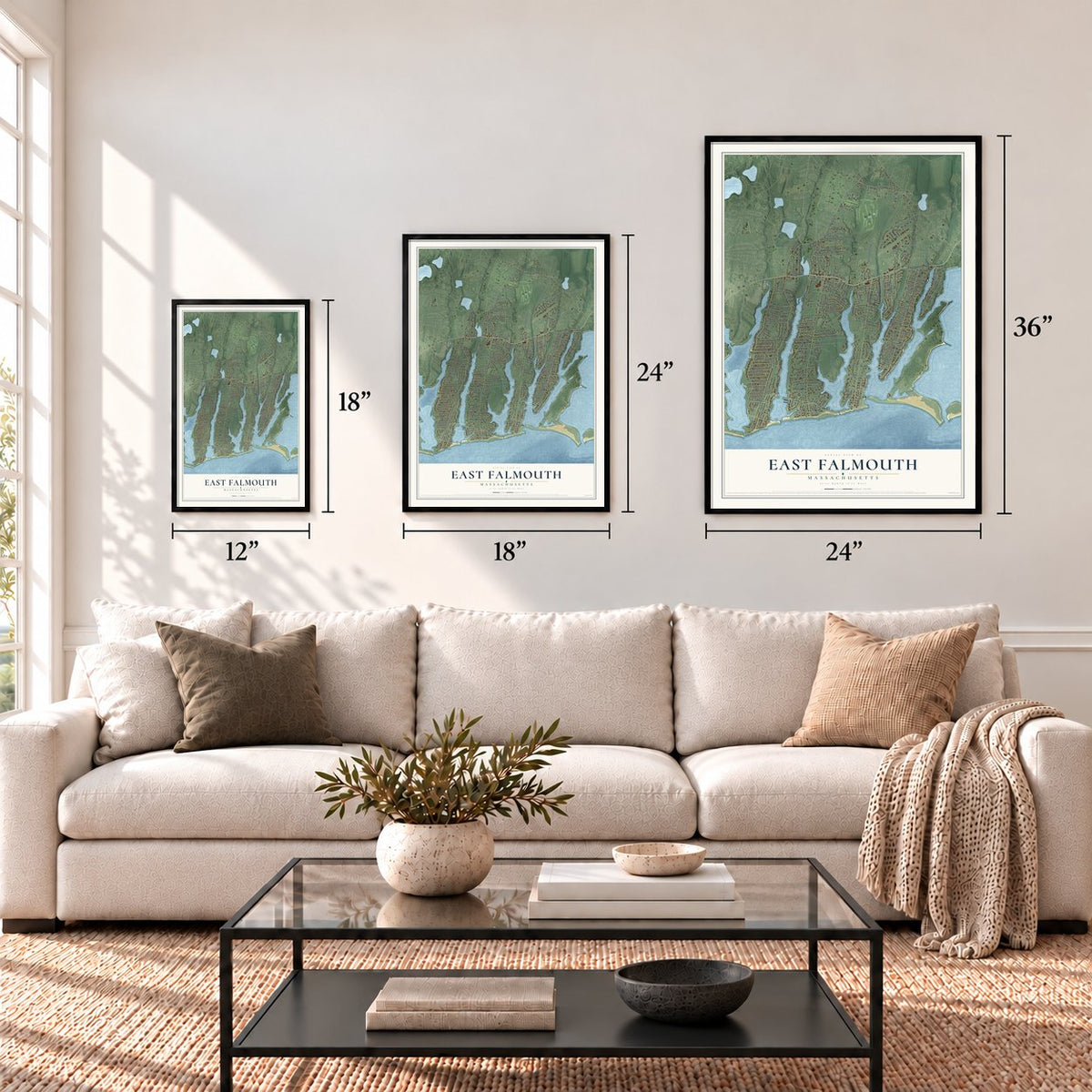
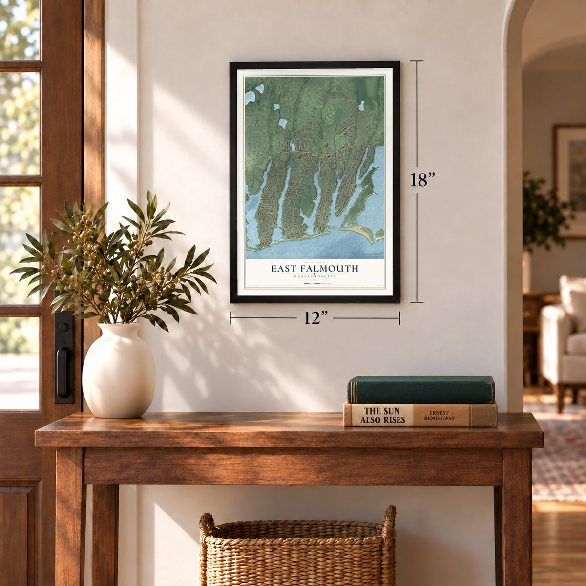
12" x 18" Archival Matte Print
A Map of Home. A Work of Art.
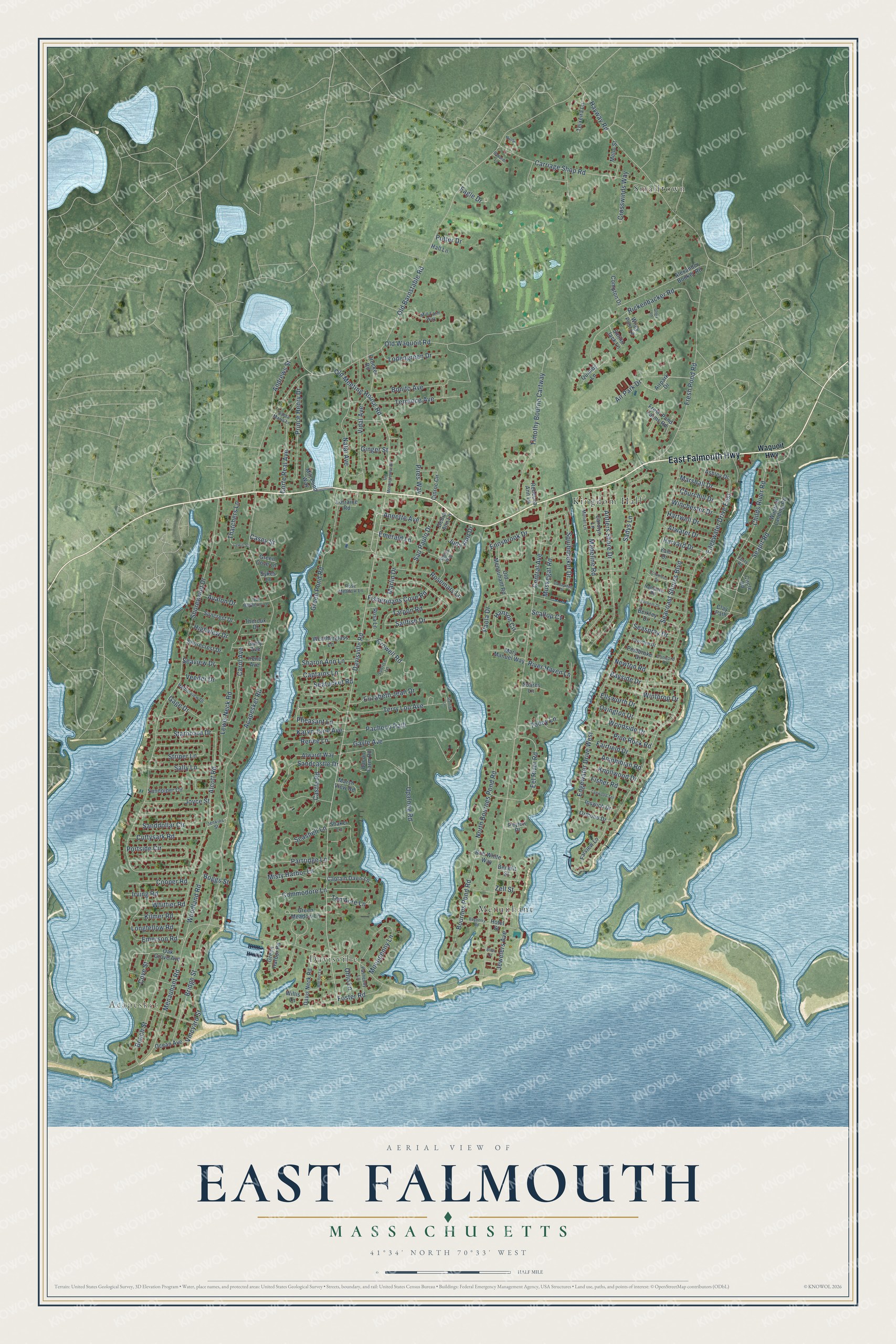
Explore East Falmouth, Massachusetts from a whole new perspective. Created using aerial imagery and detailed geographic data, this map captures East Falmouth building by building, with labeled streets, familiar landmarks, and shaded topographical relief that highlights the natural contours of the landscape.
Combining modern data with the timeless character of a vintage atlas, this map is just as interesting up close as it is beautiful on the wall. Whether you grew up in East Falmouth, spent memorable years there, or call it home today, this unique map is a great way to celebrate a place that means something to you. Zoom in on the preview to look for your street, and then order a print to put your memories on the wall.
Three ways to hang it
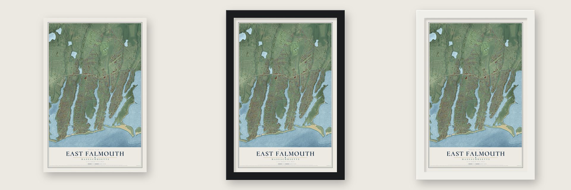
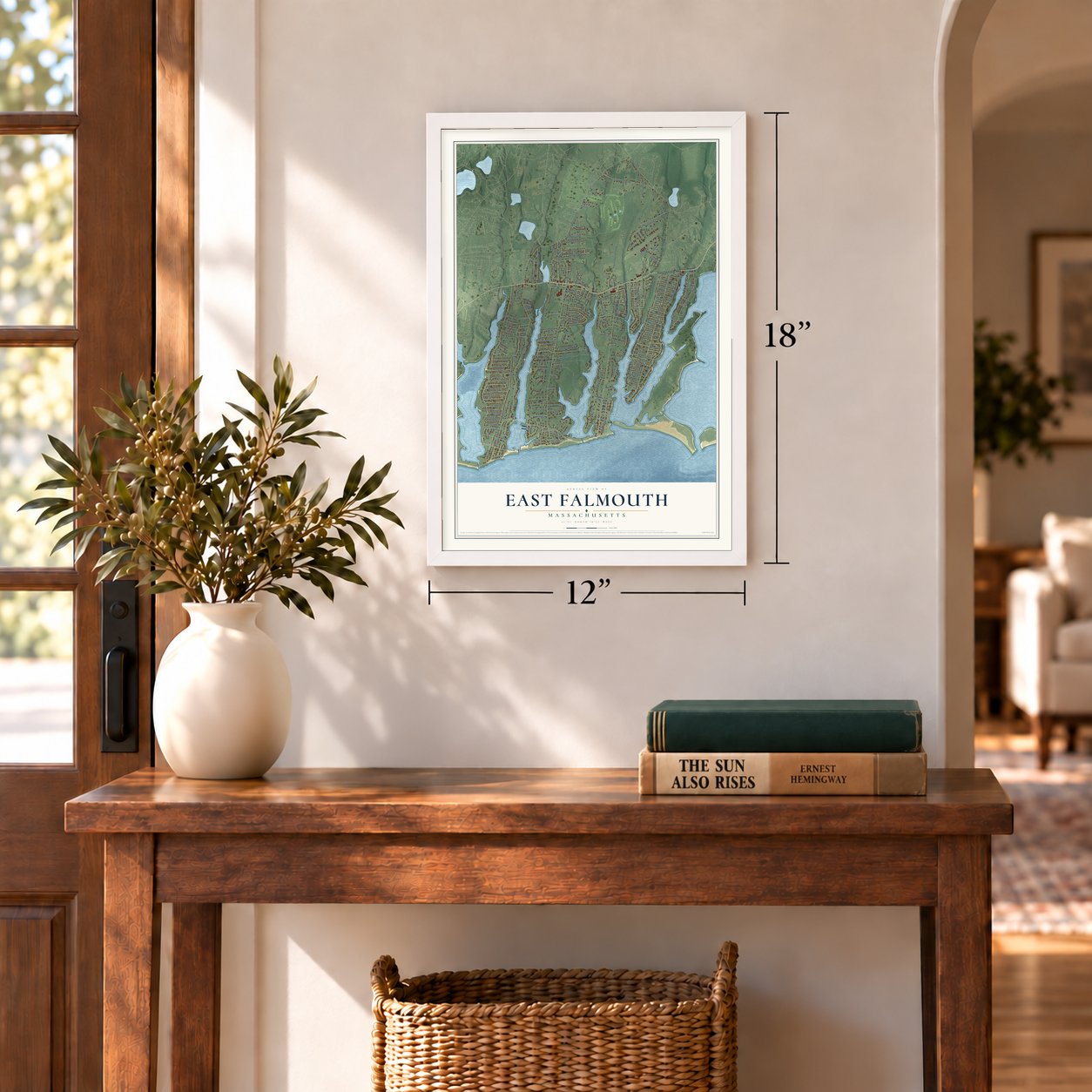
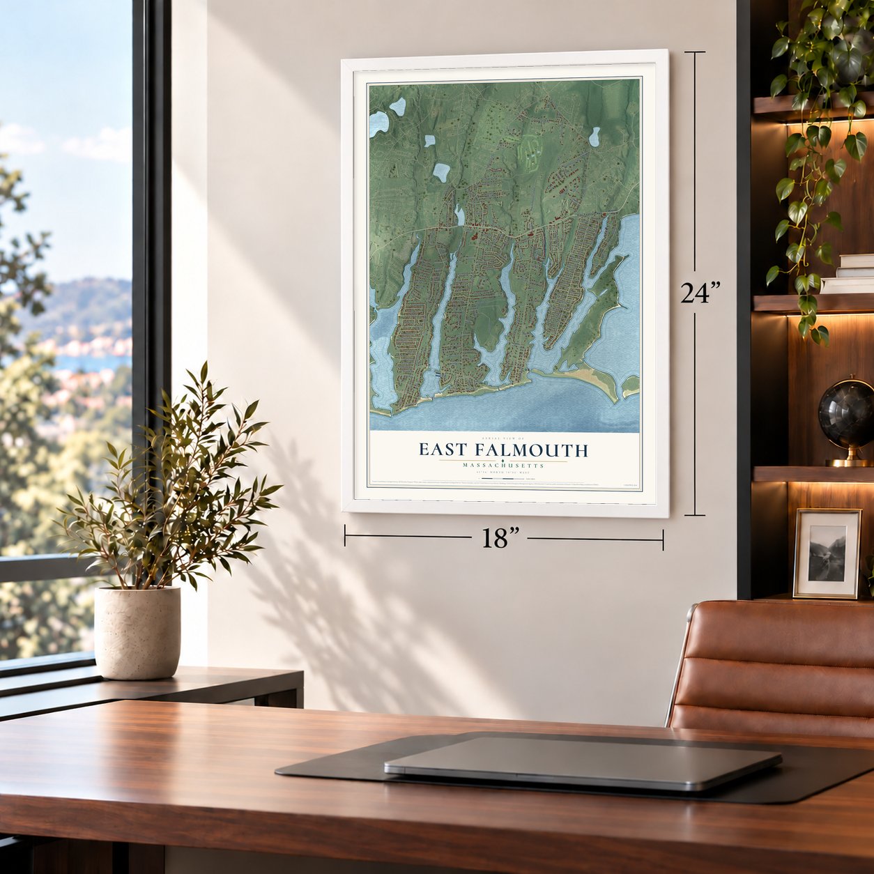
Unframed archival matte, a black wood frame or a white wood frame.
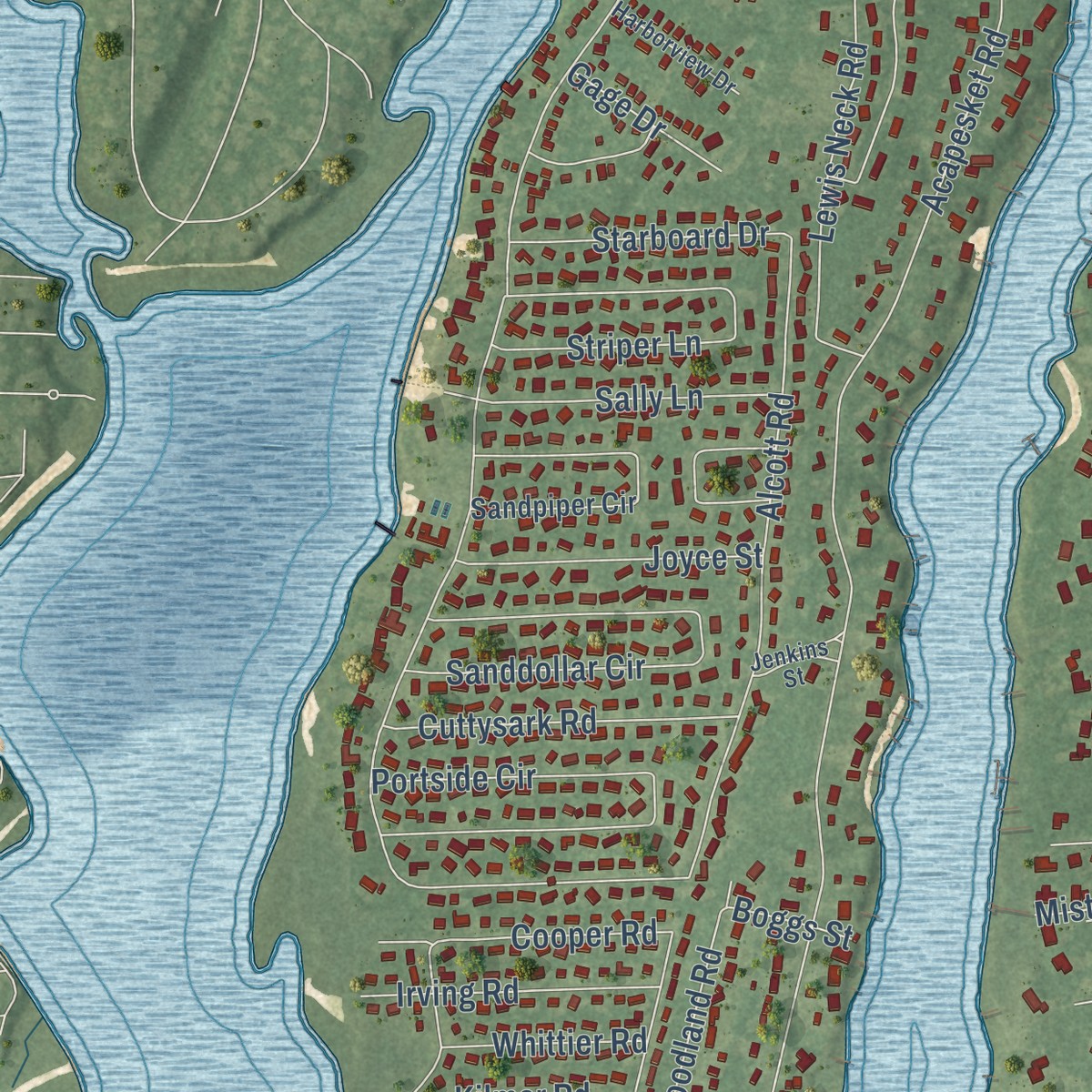
Up close
Geography Worth Displaying
This map was created using accurate cartographic data and authoritative geographic sources, including the U.S. Geological Survey and the Census Bureau. The map brings together terrain, waterways, roads, and building detail. The majority of the streets are labeled, houses are accurately depicted, and the topography is derived from government sources. Combining local data with carefully composed color and shading leads to this beautifully detailed East Falmouth artwork for your wall.
Rather than simply showing street outlines, we’ve included as many of the street names as we could reasonably fit on the map while keeping their names legible. Zoom in on the high resolution preview to see exactly what’s on the map. We truly set out to create a statement piece for anyone who loves East Falmouth. So whether it’s for you, or a gift for someone you love, we hope this map of East Falmouth brings back fond memories.
Read the story behind this map of East Falmouth, Massachusetts from 2026.

Find your street
Names on the East Falmouth map
Every name below is printed on this map. Look for your street, your school, the park where you played, or the pond down the road.
Places and landmarks5
- Acapesket
- Smalltown
- Kingdom Hall
- Menauhant
- Davisville
Streets and roads211
- East Falmouth Highway
- Davisville Road
- Pheasant Lane
- Eel River Road
- Crowell Road
- Old Barnstable Road
- Central Avenue
- Menauhant Road
- Shorewood Drive
- Acapesket Road
- Seacoast Shores Boulevard
- Edgewater Drive East
- Edgewater Drive West
- Carriage Shop Road
- Fresh Pond Road
- Old Meeting House Road
- Alcott Road
- Timothy Bourne Cartway
- Antlers Shore Drive
- Rickenbacker Road
- Upalong Road
- Childs River Road
- Gayle Avenue
- Sailfish Drive
- Hayway Road
- Sandcastle Drive
- Sanddollar Circle
- Seapit Road
- Portside Circle
- Bridge Street
Show all 211 streets
- Beach Street
- Madeline Road
- Jewelers Avenue
- Pacheco Path
- Green Pond Road
- Prince Henry Drive
- Striper Lane
- Sadys Lane
- Lewis Neck Road
- Seatucket Road
- Vidal Avenue
- Terry Lou Avenue
- Bournes Pond Road
- Squibnocket Drive
- Air Park Drive
- North Bournes Pond Road
- Natal Avenue
- Hanson Circle
- Bonito Avenue
- Paola Drive
- Carol Avenue
- Ellsworth Drive
- Andrews Street
- Bayside Drive
- Cuttysark Road
- Rosemary Lane
- Winthrop Drive
- Corte Real Avenue
- Emerald Lane
- Moonpenny Lane
- Sao Paulo Drive
- Ennsbrook Drive
- Ovington Drive
- Woodland Road
- Terrence Avenue
- Elizabeth Jean Drive
- Tarpon Road
- Lodengreen Drive
- Woodside Drive
- Joyce Street
- Seashell Lane
- Sally Lane
- Fishermans Cove Road
- Muskegat Road
- Irving Road
- Pine Rock Road
- Cooper Road
- Old Waquoit Road
- Misty Harbor Lane
- Marlin Drive
- Judy Ann Drive
- Renee Lane
- Vineyard Street
- Starboard Drive
- Captains Lane
- Castle Road
- Amphibian Road
- Fairfield Drive
- Partridge Lane
- Pires Way
- Sharon Ann Lane
- Churchill Drive
- Knollwood Drive
- Winchester Drive
- Crosswinds Way
- Atwater Drive
- Marshall Drive
- Hartwell Drive
- Commodore Lane
- Fisher Road
- Karyn Jane Avenue
- Foster Road
- Thatchers Lane
- Emerson Road
- Longfellow Road
- Kilmer Road
- River Haven Lane
- Harvard Drive
- Seaspray Drive
- Cove Street
- Whittier Road
- Ten Acre Lane
- Eagle Drive
- Tobey Lane
- Ohio Lane
- Highview Drive
- Gage Drive
- Avalon Drive
- Seaview Drive
- Annette Avenue
- Newton Road
- Veeder Drive
- Scallop Cv
- Ginger Street
- Putter Drive
- Boggs Street
- Casey Street
- Zell Street
- Waquoit Highway
- Hotel Street
- Alexander Booker Road
- Airpark Drive
- Waquoit Landing Road
- Sandpiper Circle
- Green Harbor Road
- Lorraine Road
- Davis Neck Road
- Bacon Farm Road
- Old Menauhant Road
- Carolyn Lane
- Weatherglass Lane
- Captain Davis Lane
- Alwardt Way
- Rosa Lane
- Crocker Road
- Berkley Drive
- Suncrest Drive
- Shaker Lane
- Mary Manuel Way
- Teixeira Lane
- Yale Drive
- Fresh Pond Farms Road
- Shorecrest Drive
- Ocean Avenue
- Ipswich Drive
- Garry Avenue
- Pembroke Drive
- Mill Pond Way
- Oak Grove Avenue
- Green Meadow Lane
- Bob White Way
- Rebecca Ann Lane
- Compton Drive
- Irene Avenue
- Ormond Drive
- Benefit Street
- Farview Lane
- Circle Road
- Cinroc Circle
- Willis Lane
- Debra Ann Lane
- Marsh View Road
- Theroux Drive
- Ashley Drive
- Soares Lane
- Smilin Jack Lane
- Peyton Place
- Wiley Post Lane
- Green Cove Lane
- Quimby Lane
- Hall Lane
- Mello Street
- Sykes Lane
- Clay Path
- Pasnecoy Lane
- Hampden Road
- Muriel Lane
- Mill Farm Way
- None
- Harborview Drive
- Rose Meadow Lane
- Sunrise Lane
- Croyden Drive
- Old Bayberry Lane
- Santa Maria Lane
- Sheila Way
- Concord Drive
- Jenkins Street
- Ferry Road
- Old Meetinghouse Road
- Sachem Drive
- Columbus Drive
- Anchor Lane
- Bayberry Road
- Lynwood Terrace
- Canapitsit Drive
- Glory Lane
- Lewis Street
- Bacardi Lane
- Bliss Street
- Starfish Lane
Names are listed as they appear on the printed map. Zoom into the product photos to find them.
About East Falmouth, Massachusetts
East Falmouth is a village of 6,278 people in the town of Falmouth, at the base of Cape Cod. It's the most populous of Falmouth's six census-designated places, stretching from Teaticket on the west to the Childs River on the east, with Vineyard Sound along its southern shore. South of Route 28, tidal creeks that locals call ponds cut the land into four necks, and each neck forms its own neighborhood.
In 1925 the author Perry Walton wrote that East Falmouth and Teaticket, two inland villages, were home almost entirely to Portuguese families. Their steady labor had turned Falmouth into one of the country's leading places for growing strawberries, with recent harvests close to one and a half million quarts each year.
“These two villages are inhabited today almost entirely by the Portuguese, who through their diligence and industry have won for themselves the unstinted praise”
- Fields along the state roadWalton singled out the farms on both sides of the state road through East Falmouth. He held them up as examples of how well-tended land should look, and he gave the credit to the Portuguese growers who worked them.
- Jenkin's Neck, now Seacoast ShoresThe neck once called Jenkin's Neck is now Seacoast Shores, one of the most crowded neighborhoods in Falmouth, with 905 homes. A nonprofit association looks after its 22 rights of way, along with a beach that only the people who live there may use.
- Great Harbors, since 1966Great Harbors is a private community on Lewis Neck, north of Acapesket, with 11 streets and almost 400 houses. Its residents incorporated their association in December 1966, and a volunteer board elected each June still runs the community, its two boat docks and its pool and tennis complex.
Keep exploring Massachusetts
East Falmouth is one of 462 Massachusetts towns we've mapped. Every dot on the map is a print of its own.
The search covers every state, Massachusetts first.
Near East Falmouth
Order 2 or more town maps and save 10%. Shown in the size and finish you picked above, so they hang as a set.
- Teaticket 12" x 18" / Archival Matte Print $39.99
- Falmouth 12" x 18" / Archival Matte Print $39.99
- Seabrook 12" x 18" / Archival Matte Print $39.99
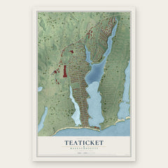
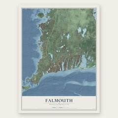
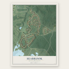
More maps nearby: New Seabury, Mashpee, West Falmouth, Popponesset and Mashpee Neck.
The art of mapping a place
How This Map Was Made
Real places. Remarkable detail. Discover the layers that turn geographic data into a map of home.

The view from above
Aerial imagery reveals the character of the land: woodland, open fields, and the patterns of a place.

The shape of the land
Elevation data brings hills, valleys, and subtle changes in the landscape into view.

The details of home
Roads, waterways, and building footprints come together to make the map feel unmistakably local.

Geography becomes art
Considered color, shading, and typography bring the layers together in a map made for your wall.


Process illustrated with Mendon, Massachusetts. Aerial imagery: USDA NAIP. Terrain: USGS 3D Elevation Program. Map details and finished artwork: KNOWOL.
The Details
About This Print
Choose an archival matte print, or a black or white Ayous wood frame. The archival matte print is unframed.
Select your size and finish above to see the matching product image and price.
Materials & Craftsmanship
A contemporary map with the character of a classic atlas, printed on archival matte paper. Optional frames are made from Ayous wood.
Your printed map does not include the watermark shown in the full-map preview.
Shipping & Delivery
Free shipping within the United States. Every print is made to order in the USA.
Buying a gift? Add a note in your cart and we'll include it. We never put prices in the package.
Prints ship within 2 to 3 business days. Allow 7 to 10 days total from ordering for delivery. Timing may vary during holidays or periods of high order volume.
Read our shipping policy.
Returns and damaged prints
Each print is made to order. Change-of-mind refunds are not available after production.
If your print arrives damaged, misprinted or incorrect, contact support@knowol.com within 30 days of receiving it. Include your order number, photos and a description of the issue.
Read our full refund and replacement policy. For questions about your order, email support@knowol.com.