
Search for another town


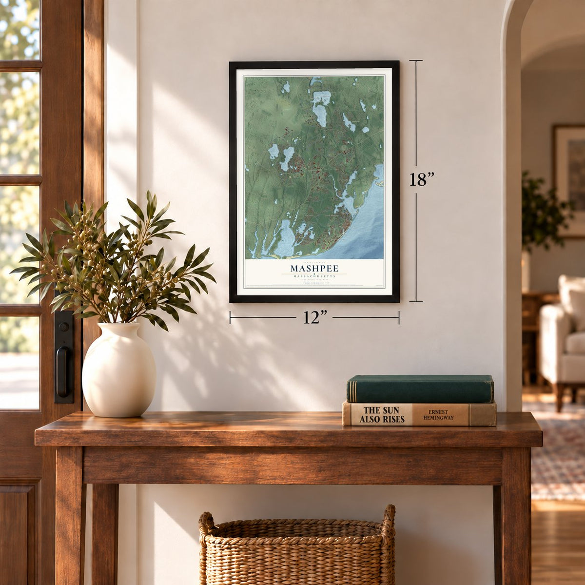
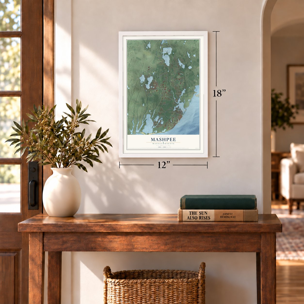

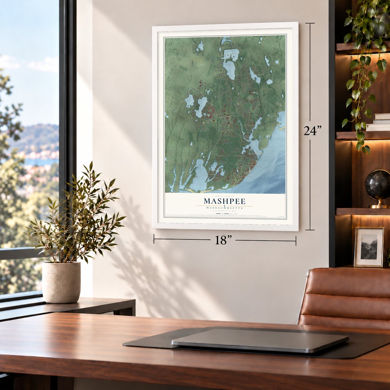
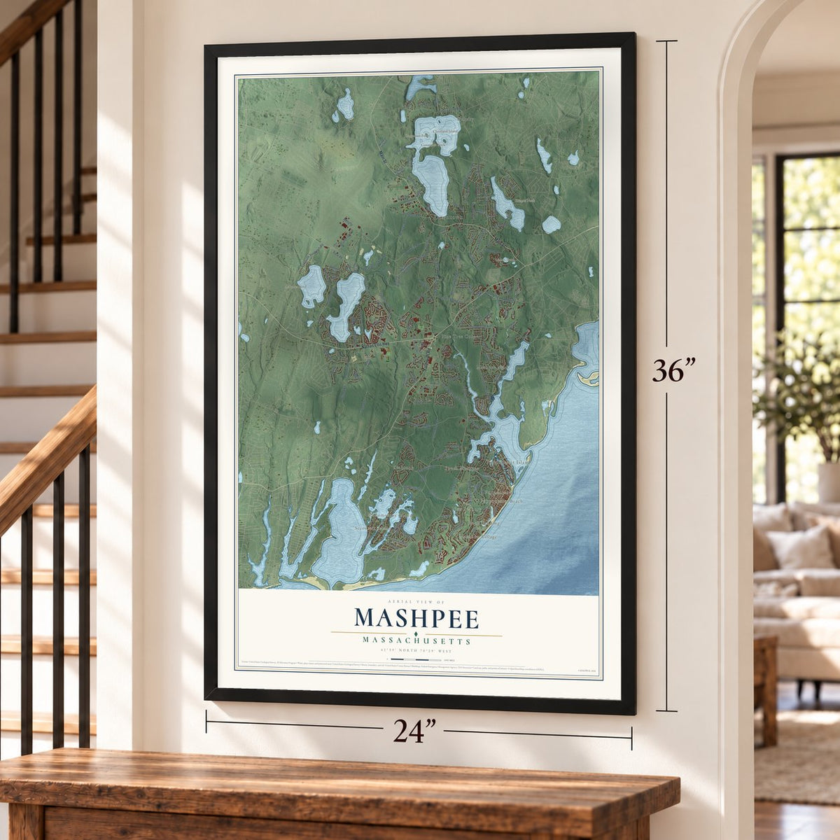
Free U.S. delivery 7 to 10 days after you order
Mashpee, Massachusetts Map Art
Building by building, with labeled streets and shaded relief.
12" x 18" Archival Matte Print
A Map of Home. A Work of Art.
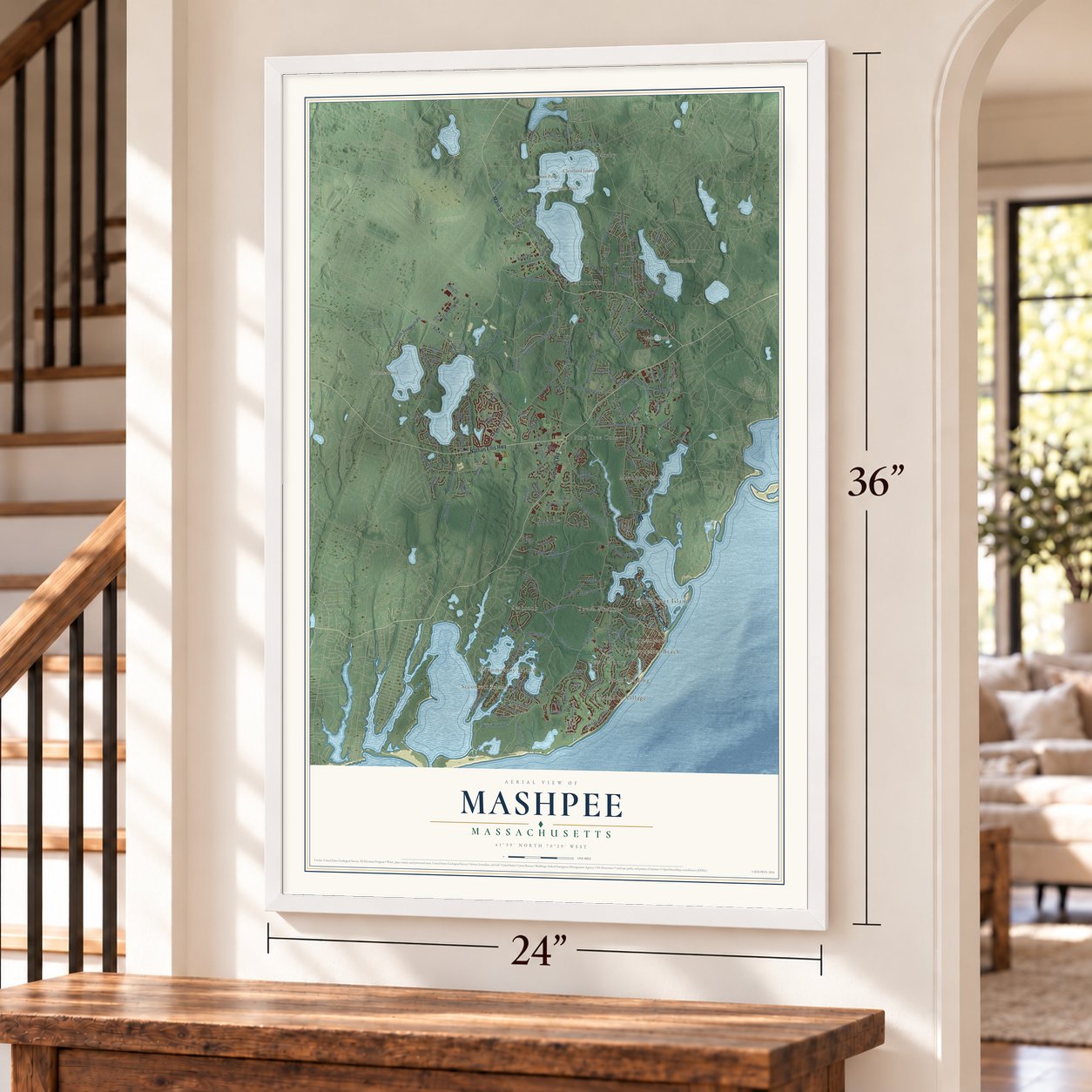
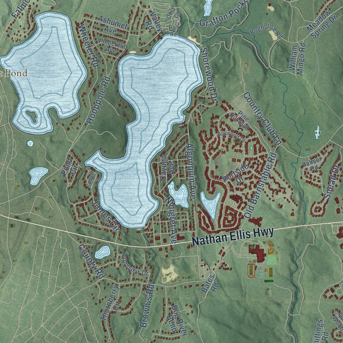
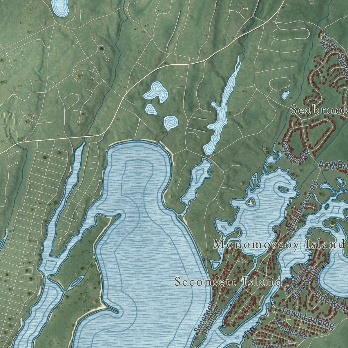
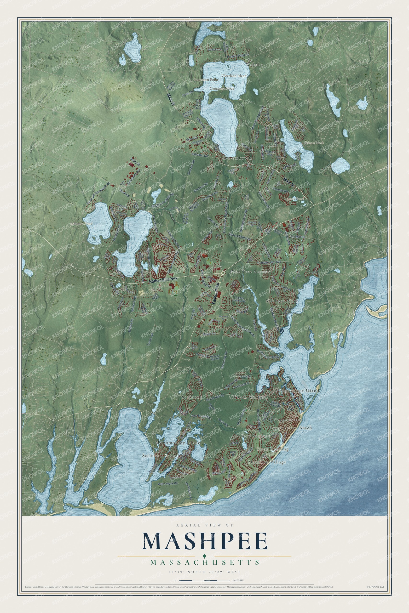
Explore Mashpee, Massachusetts from a whole new perspective. Created using aerial imagery and detailed geographic data, this map captures Mashpee building by building, with labeled streets, familiar landmarks, and shaded topographical relief that highlights the natural contours of the landscape.
Combining modern data with the timeless character of a vintage atlas, this map is just as interesting up close as it is beautiful on the wall. Whether you grew up in Mashpee, spent memorable years there, or call it home today, this unique map is a great way to celebrate a place that means something to you. Zoom in on the preview to look for your street, and then order a print to put your memories on the wall.
Three ways to hang it
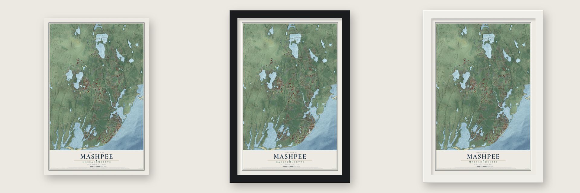
Unframed archival matte, a black wood frame or a white wood frame.
Up close
Geography Worth Displaying
This map was created using accurate cartographic data and authoritative geographic sources, including the U.S. Geological Survey (USGS) and FEMA. The map brings together terrain, waterways, roads, and building detail. The majority of the streets are labeled, houses are accurately depicted, and the topography is derived from government sources. Combining local data with carefully composed color and shading leads to this beautifully detailed Mashpee artwork for your wall.
Rather than simply showing street outlines, we’ve included as many of the street names as we could reasonably fit on the map while keeping their names legible. Zoom in on the high resolution preview to see exactly what’s on the map. We truly set out to create a statement piece for anyone who loves Mashpee. So whether it’s for you, or a gift for someone you love, we hope this map of Mashpee brings back fond memories.
Explore the full map of Mashpee, Massachusetts and read about the local places it shows.
Find your street
Names on the Mashpee map
Every name below is printed on this map. Look for your street, your school, the park where you played, or the pond down the road.
Places and landmarks20
- Downtown
- Maushop Village
- Rock Landing
- Seconsett Island
- Popponesset Beach
- Briants Neck
- Cleveland Island
- Conaumet Neck
- Conaumet Point
- Amos Pond
- Ashumet Pond
- Mashpee Neck
Show all 20 places
- Seabrook
- Popponesset Island
- Pine Tree Corner
- Wakeby
- South Mashpee
- Monomoscoy Island
- New Seabury
- Popponesset
Streets and roads177
- Main Street
- Falmouth Road
- Nathan Ellis Highway
- Rock Landing Road
- Town Landing
- Great Hay Road
- Old Barnstable Road
- Great Oak Road
- Great Neck Road South
- Great Neck Road North
- Meetinghouse Road
- Cotuit Road
- Quinaquisset Avenue
- Red Brook Road
- Mashpee Neck Road
- Hooppole Road
- Falmouth-Sandwich Road
- South Sandwich Road
- Pimlico Pond Road
- Algonquin Avenue
- Noisy Hole Road
- Turner Road
- Grafton Pocknet Road
- Surf Drive
- Will's Work Road
- Wheeler Road
- Quashnet Road
- James Circle
- Bearses Road
- Glenneagle Drive
Show all 177 streets
- Old Mill Road
- Back Road
- Shore Drive West
- Polaris Drive
- Ashumet Road
- Lowell Road
- Ashers Path East
- Bookers Road
- Lovells Lane
- Lovell's Lane
- Cove Road
- The Heights
- Simons Road
- Shorewood Drive
- West Way
- Reilly Street
- Job's Fishing Road
- Ninigret Avenue
- Country Club Lane
- Sunset Strip
- Grandville Avenue
- Eagle Drive
- Hush Road
- Degrass Road
- Milford Road
- Orchard Road
- Tide Run
- Punkhorn Point Road
- Echo Road
- Shields Road
- Dover Road
- Dunrobin Road
- Amy Brown Road
- Snead Drive
- Coombs Road
- Cape Drive
- Brown's Road
- River Road
- Tracy Lane
- Sheffield Place
- Jones Road
- Baker's Road
- County Road
- Taurus Drive
- Finway
- Wading Place Road
- Quaker Run Road
- Shore Drive
- Sea Oaks
- Monomoscoy Road
- Holland Mill Road
- Whittings Road
- Industrial Drive
- Timberlane Drive
- Willow Bend Drive
- Mid-Iron Way
- Scituate Road
- Pond Circle
- Seanest Drive
- Meadow Spring Drive
- Steeple Street
- Bog River Bend
- Bayshore Drive
- Edgewater Road
- North Glen Drive
- Cayuga Avenue
- Carleton Drive
- Thornberry Circle
- Timber Landing Road
- Yardarm Drive
- Pickerel Cove Circle
- Blue Castle Drive
- Seconsett Point Road
- Pickeral Cove Road
- Mc Gregor's Road
- High Wood Way
- Cross Road
- Ashumet Avenue
- William Mingo Road
- Fairway Lane
- Waterline Drive South
- Adams Road
- Portside Drive
- John Ewer Road
- Valley Road
- Windsor Way
- Fox Hill Road
- Gunter's Lane
- Cambridge Drive
- Bowdoin Road
- Treasure Lane
- Military Service
- Scenic Drive
- Birch Way
- Hook Drive
- Sturgis Lane
- Sewall Drive
- Bates Road
- Collins Lane
- East Road
- Holly Road
- Great Pines Drive
- Pine Hill Boulevard
- Boghouse Road
- Izzea Street
- Palmer Road
- Wilann Road
- Brewster Road
- Gold Leaf Lane
- Vista Circle
- Nicolettas Way
- Pondview Drive
- Pinecrest Avenue
- Manitoba Road
- Surrey Place
- Quashnet Woods Drive
- Pleasant Park Drive
- Sandy Way
- Coombs Lane
- Shields Lane
- Turtle Way
- Fawn Road
- Holly Way
- Wharf Avenue
- Sampsons Mill Road
- Uncle Percy's Drive
- Captain's Row
- Whippoorwill Circle
- Summersea Road
- Popponesset Island Road
- Shellback Way
- Simons Narrows Road
- Windygate Road
- Sunset Circle
- Mercantile Way
- Brassie Way
- Jonas Drive
- Bonwood Drive
- Cottage Lane
- Little Neck Lane
- Gina's Way
- Gullane Road
- Riverview Avenue
- Flat Pond Circle
- Center Street
- Odee Court
- Raft Road
Names are listed as they appear on the printed map. Zoom into the product photos to find them.
About Mashpee, Massachusetts
Mashpee is a town of 15,060 people in Barnstable County, on the Nantucket Sound shore of Cape Cod, and it is the home of the Mashpee Wampanoag Tribe. The missionary Richard Bourne started a church among the Wampanoag here in 1658, and in 1660 about 50 square miles were reserved for those who had become Christians. From 1665 the people held their own court of law.
The Crown made Mashpee a plantation in 1763 against its people's wishes, and in 1788 the state replaced their self-government with five overseers. A peaceful revolt in 1833 led to a memorial that 282 men and women of Mashpee signed, and the act of March 31, 1834, made Mashpee a district that chose its own selectmen. Mashpee became a town on May 28, 1870, and the tribe won federal recognition in 2007.
“An Indian township, owned and officered by Indians; its schools and churches supported by Indians, and its public affairs conducted by them.”
- The wood cart of 1833In the spring of 1833 the Pequot Methodist preacher William Apess arrived in Mashpee. A tribal council took him in as a member on May 21 and told outsiders that from the first of July they could no longer take Mashpee wood or hay. On July 1 a man named Sampson was found hauling wood away. He would not unload it, so a few Mashpee men emptied the cart and let him go.
- From jail to selectmenApess served thirty days in the county jail, charged with riot. Yet the following year the new district chose its first selectmen: Ezra Attaquin, Isaac Coombs and Israel Amos.
- A new lock in 1840Until 1834 Mashpee had no say in choosing its ministers. In 1830 the blind preacher Joseph Amos led many into a Baptist society, but the Rev. Phineas Fish stayed on as the state's missionary. In July 1840 the people formed their own parish and voted to change the meeting house lock and claim the building. Fish was out once the meeting ended, and the Williams fund, a bequest from 1711, then paid the preacher of the parish's choosing.
- Solomon Attaquin's hotelSolomon Attaquin, born near Waquoit in 1810, shipped out as a cook at twelve and went whaling at fourteen. After coming home in 1834 he spent twenty-two years as a selectman. In 1840 he built a house that grew into the Hotel Attaquin, a favorite of visiting sportsmen in years when a pound of Mashpee trout often brought a dollar. From 1871 to 1889 he served as the town's first postmaster.
- The Avant HouseThis small half Cape, built about 1830, sits at the spot where the Mashpee River flows out of Mill Pond. Timothy Pocknet, a Wampanoag who had put his name to the 1833 petition for self-government, became its owner in 1863. In 1973 the house began serving as a tribal museum, and after years of dispute the tribe regained it in 1998, the same year it joined the National Register. Today it is the Mashpee Wampanoag Museum.
Keep exploring Massachusetts
Mashpee is one of 461 Massachusetts towns we've mapped. Every dot on the map is a print of its own.
The search covers every state, Massachusetts first.
Near Mashpee
Order 2 or more town maps and save 10%. Shown in the size and finish you picked above, so they hang as a set.
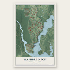
- Mashpee Neck 12" x 18" / Archival Matte Print $39.99
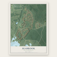
- Seabrook 12" x 18" / Archival Matte Print $39.99
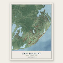
- New Seabury 12" x 18" / Archival Matte Print $39.99
More maps nearby: Popponesset, Forestdale, East Falmouth, Falmouth and Teaticket.
The art of mapping a place
How This Map Was Made
Real places. Remarkable detail. Discover the layers that turn geographic data into a map of home.

The view from above
Aerial imagery reveals the character of the land: woodland, open fields, and the patterns of a place.

The shape of the land
Elevation data brings hills, valleys, and subtle changes in the landscape into view.

The details of home
Roads, waterways, and building footprints come together to make the map feel unmistakably local.

Geography becomes art
Considered color, shading, and typography bring the layers together in a map made for your wall.


Process illustrated with Mendon, Massachusetts. Aerial imagery: USDA NAIP. Terrain: USGS 3D Elevation Program. Map details and finished artwork: KNOWOL.
The Details
About This Print
Choose an archival matte print, or a black or white Ayous wood frame. The archival matte print is unframed.
Select your size and finish above to see the matching product image and price.
Materials & Craftsmanship
A contemporary map with the character of a classic atlas, printed on archival matte paper. Optional frames are made from Ayous wood.
Your printed map does not include the watermark shown in the full-map preview.
Shipping & Delivery
Free shipping within the United States. Every print is made to order in the USA.
Buying a gift? Add a note in your cart and we'll include it. We never put prices in the package.
Prints ship within 2 to 3 business days. Allow 7 to 10 days total from ordering for delivery. Timing may vary during holidays or periods of high order volume.
Read our shipping policy.
Returns and damaged prints
Each print is made to order. Change-of-mind refunds are not available after production.
If your print arrives damaged, misprinted or incorrect, contact support@knowol.com within 30 days of receiving it. Include your order number, photos and a description of the issue.
Read our full refund and replacement policy. For questions about your order, email support@knowol.com.