
Search for another town





Free U.S. delivery 7 to 10 days after you order
Fitchburg, Massachusetts Map Art
Building by building, with labeled streets and shaded relief.
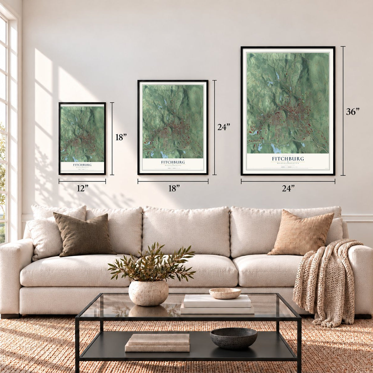
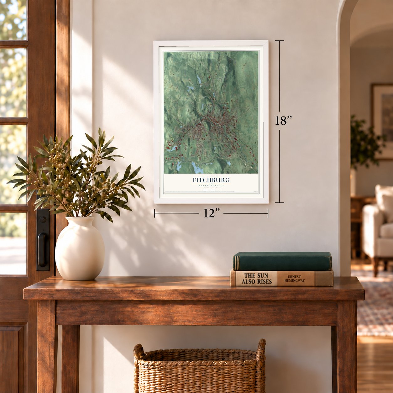
12" x 18" Archival Matte Print
A Map of Home. A Work of Art.
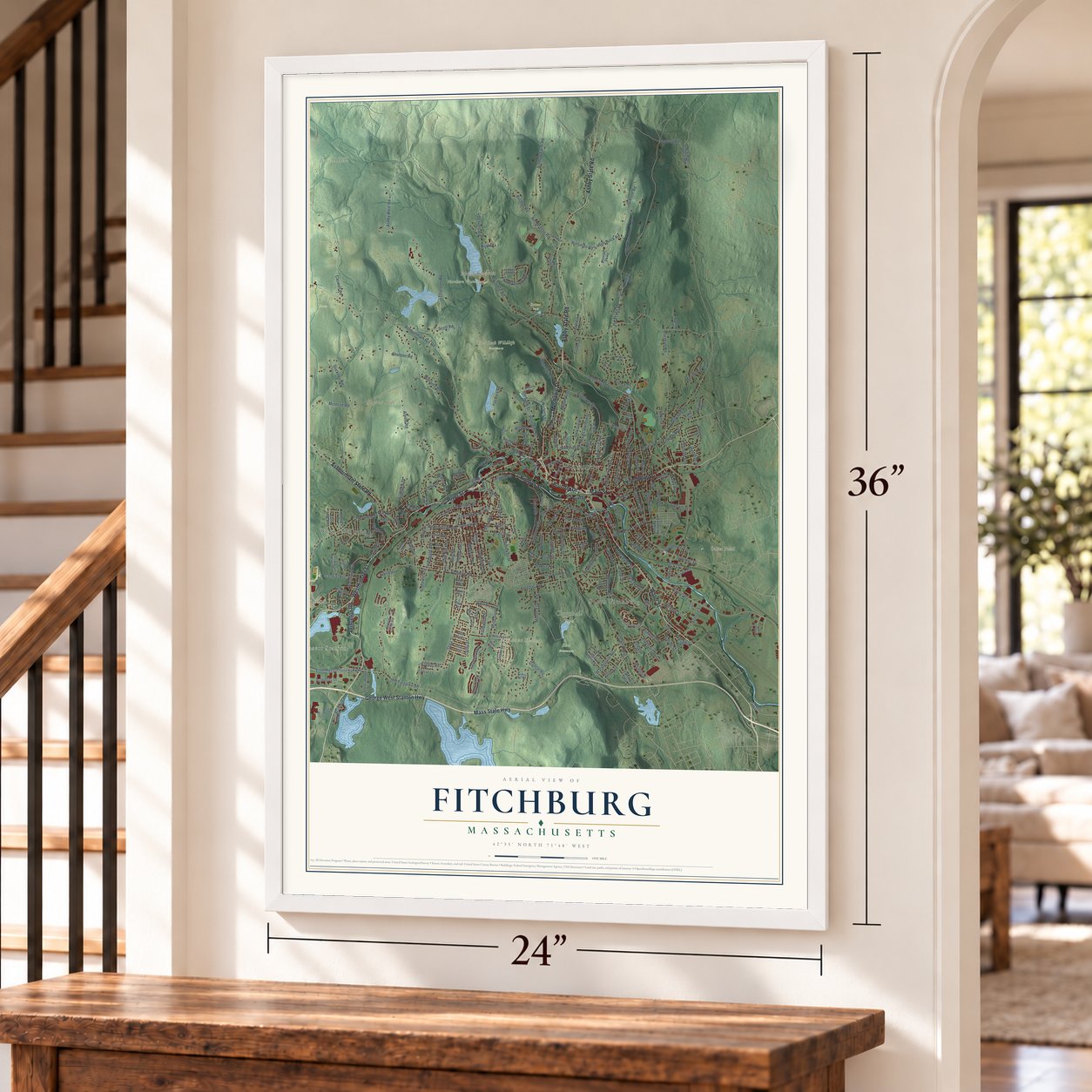
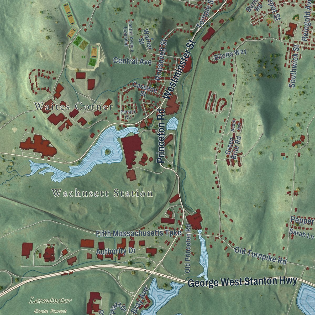
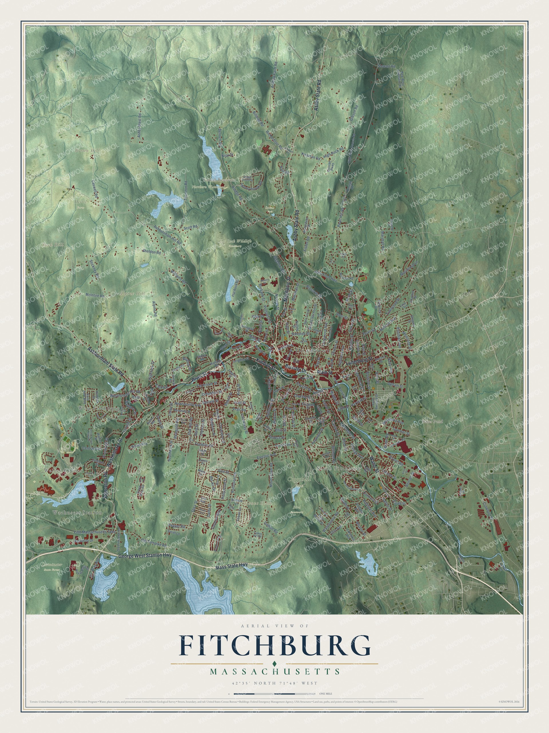
Explore Fitchburg, Massachusetts from a whole new perspective. Created using aerial imagery and detailed geographic data, this map captures Fitchburg building by building, with labeled streets, familiar landmarks, and shaded topographical relief that highlights the natural contours of the landscape.
Combining modern data with the timeless character of a vintage atlas, this map is just as interesting up close as it is beautiful on the wall. Whether you grew up in Fitchburg, spent memorable years there, or call it home today, this unique map is a great way to celebrate a place that means something to you. Zoom in on the preview to look for your street, and then order a print to put your memories on the wall.
Three ways to hang it
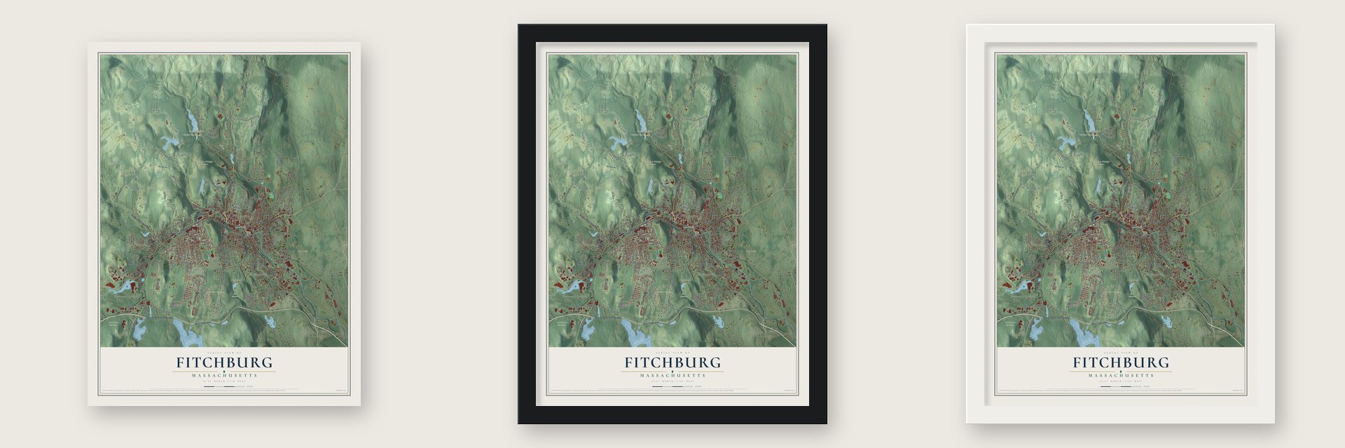
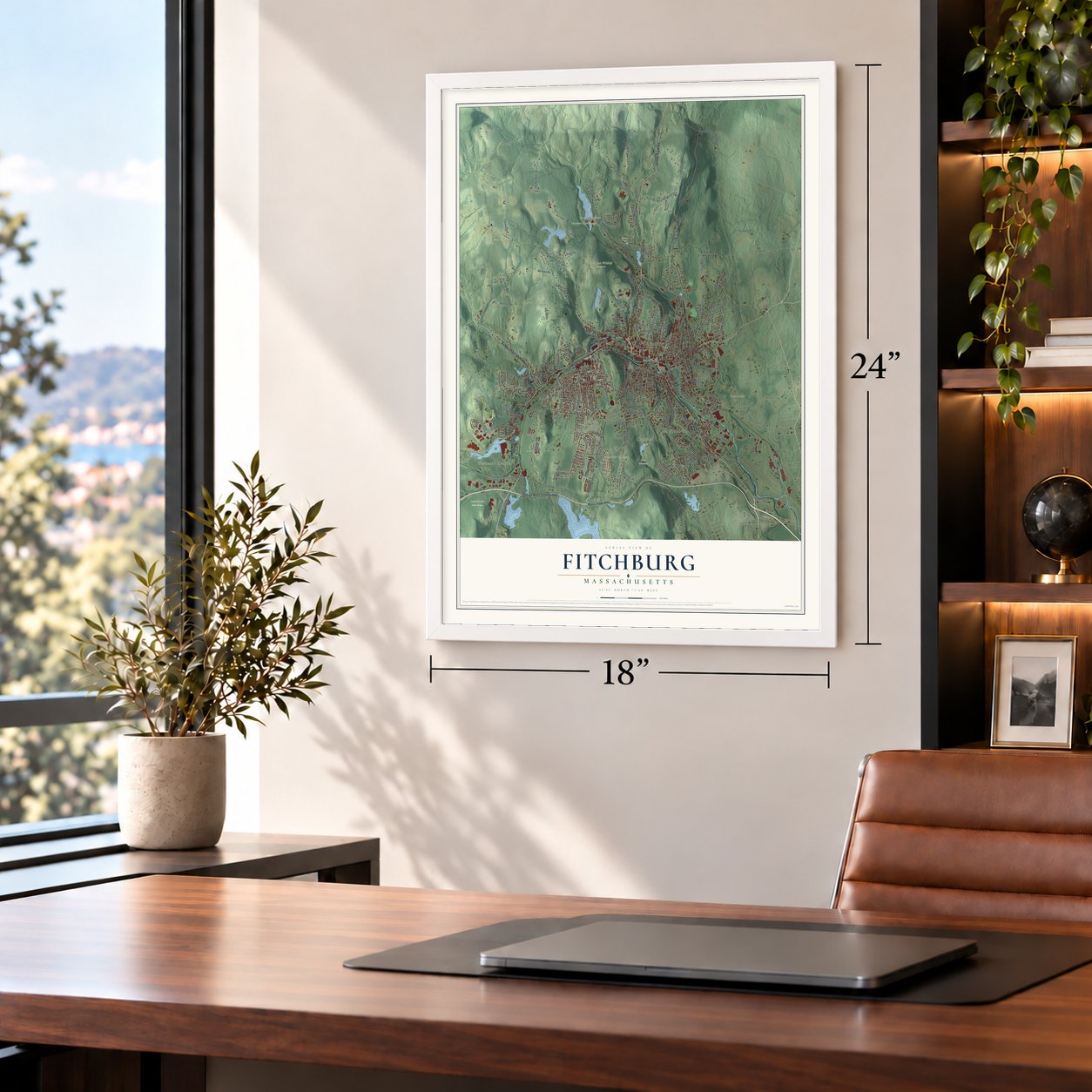
Unframed archival matte, a black wood frame or a white wood frame.
Up close
Geography Worth Displaying
This map was created using accurate cartographic data and authoritative geographic sources, including the U.S. Geological Survey (USGS) and FEMA. The map brings together terrain, waterways, roads, and building detail. The majority of the streets are labeled, houses are accurately depicted, and the topography is derived from government sources. Combining local data with carefully composed color and shading leads to this beautifully detailed Fitchburg artwork for your wall.
Rather than simply showing street outlines, we’ve included as many of the street names as we could reasonably fit on the map while keeping their names legible. Zoom in on the high resolution preview to see exactly what’s on the map. We truly set out to create a statement piece for anyone who loves Fitchburg. So whether it’s for you, or a gift for someone you love, we hope this map of Fitchburg brings back fond memories.
Explore the full map of Fitchburg, Massachusetts and read about the local places it shows.

Find your street
Names on the Fitchburg map
Every name below is printed on this map. Look for your street, your school, the park where you played, or the pond down the road.
Places and landmarks20
- Downtown
- Wachusett Station
- Waites Corner
- South Fitchburg
- Alpine Hill
- Brown Hill
- Buck Hill
- Mount Elam
- Baker Pond
- Falulah Reservoir
- Bird Sanctuary
- Coggshall Park
Show all 20 places
- Flat Rock Wildlife Sanctuary
- Hertel Farm
- Jewell Hill
- Leominster State Forest
- Northern Watershed
- Saima Park
- West Fitchburg
- Forest Park
Streets and roads269
- River Street
- Kimball Street
- Boulder Drive
- Main Street
- Water Street
- George West Stanton Highway
- Mass State Highway
- Lunenburg Street
- Princeton Road
- Westminster Street
- Ashby State Road
- Ashburnham State Road
- Mechanic Street
- Daniels Street
- Summer Street
- Prospect Street
- Carey Street
- Burbank Street
- Harvard Street
- Ashburnham Hill Road
- Rollstone Road
- Rollstone Street
- Fisher Road
- Fifth Massachusetts Turnpike
- Old Turnpike Road
- Airport Road
- Leroy Street
- Rindge Road
- Westminster Hill Road
- Pearl Hill Road
Show all 269 streets
- John Fitch Highway
- Franklin Road
- Richardson Road
- Oak Hill Road
- Ashby West Road
- South Street
- High Rock Road
- Arnhow Farm Road
- Mount Elam Road
- Blossom Street
- Shea Street
- Sheldon Road
- Pearl Street
- Townsend Street
- Stickney Road
- Crawford Street
- Williams Road
- Elm Street
- Wanoosnoc Road
- Alpine Road
- Marshall Road
- Electric Avenue
- North Street
- McIntire Road
- Beech Street
- Scott Road
- Canton Street
- Clarendon Street
- Fairmount Street
- Milk Street
- Madison Street
- Caswell Road
- Authority Drive
- Mount Vernon Street
- Billings Road
- Lincoln Street
- Pratt Road
- Highland Avenue
- Theresa Street
- Albee Street
- Boutelle Street
- Walton Street
- Marshall Street
- Cathy Street
- Stoneybrook Road
- Bemis Road
- Charles Street
- Sanborn Street
- Reingold Avenue
- West Street
- High Street
- Hollywood Street
- Roosevelt Street
- Belmont Street
- Cedar Street
- Heywood Street
- Hazel Street
- Bishop Road
- Bigelow Road
- Klondike Avenue
- Depot Street
- East Street
- Connors Street
- Ellis Street
- Pacific Street
- Lawrence Street
- Benson Street
- Hurd Street
- Stewart Road
- Columbus Street
- Olin Avenue
- Causeway Street
- Pine Street
- Newtonville Avenue
- Kinsman Road
- King Street
- Pratt Street
- Forest Street
- Thurston Road
- Central Avenue
- View Street
- Temple Street
- Caspian Way
- Nichols Street
- Rodiman Avenue
- Krysiak Avenue
- Bel Air Drive
- Nijal Court
- Montrose Street
- Day Street
- Kelly Avenue
- Ross Street
- Upham Street
- Longwood Avenue
- Pepper Road
- Payson Street
- Lancaster Street
- Salem Street
- Highview Street
- Buttrick Avenue
- Gibson Road
- Woodbury Avenue
- Patton Street
- Whalon Street
- Macintosh Lane
- Eaton Street
- Vine Street
- Southwick Street
- Burnap Street
- Simonds Street
- Falulah Street
- Middle Street
- Bond Street
- Clinton Street
- Damon Road
- Seneca Street
- Broad Street
- Bennett Road
- Bray Avenue
- Smith Street
- Fifth Street
- Jerry Street
- Kyle Road
- New West Townsend Road
- Cliff Street
- Flat Rock Road
- Chester Street
- Tibbett Circle
- Wallace Road
- Sawyer Passway
- High Rock Branch Road
- Old Princeton Road
- Leighton Street
- Arlington Street
- Royal Plaza Drive
- Cascade Street
- Shawna Street
- Warner Street
- Laurel Street
- Saint Bernard Street
- Intervale Road
- Senna Road
- Academy Street
- Winter Street
- Pershing Street
- Nashua Street
- Elizabeth Street
- Etonian Parkway
- Saint Jude Boulevard
- Hope Street
- Castle Road
- Saint Martin Street
- Fairview Street
- Charlton Street
- Rinnock Road
- Leyte Road
- Green Briar Road
- Summit Street
- Columbia Avenue
- Bilotta Way
- Richardson Drive
- Cane Street
- Hemlock Drive
- Kimball Road
- Baltic Lane
- Everett Street
- Kendall Road
- Nutting Street
- Willow Street
- Brittany Lane
- Frederick Street
- School Street
- Burma Road
- Grove Street
- Sarah Lane
- Landis Lane
- Lee Avenue
- Fox Street
- Valdalia Avenue
- Federal Street
- Lovisa Street
- Clifton Street
- Taft Street
- Miles Street
- Meadowbrook Lane
- Bridlecross Road
- Prospelt Street
- Phillips Street
- Village Crossing
- Ryefield Road
- Apple Tree Hl
- York Avenue
- Swan Avenue
- Miami Street
- Nockege Street
- Drake Road
- Otis Street
- Circle Street
- Anita Drive
- Berry Street
- Roseland Drive
- Hawes Street
- Norval Avenue
- Edlee Street
- Erdman Way
- Hobson Street
- Dumais Street
- Cobbler Drive
- Darlene Drive
- Grand Street
- Read Street
- Turkey Hill Road
- Olin Drive
- Franklin Street
- Plymouth Street
- Old Leominster Road
- Legros Street
- Exeter Street
- Parson Circle
- Caldwell Street
- Fitch Hill Avenue
- Central Avenue Extended
- Kilroy Street
- Parker Hill Drive
- Mack Road
- Valleyview Drive
- Gloria Avenue
- Scripture Road
- Holt Street
- Rogers Avenue
- Clyde Street
- Juniper Road
- Essex Street
- Harugari Street
- Nichols Road
- Saw Pond
- Bluff Avenue
- Acorn Avenue
- Lyric Lane
Names are listed as they appear on the printed map. Zoom into the product photos to find them.
About Fitchburg, Massachusetts
Fitchburg is a city in Worcester County, Massachusetts, where the 2020 census recorded 41,946 residents. It was incorporated in 1764.
- 2020 populationThe census recorded 41,946 residents in Fitchburg.
- Incorporated in 1764It was incorporated in 1764.
- Worcester CountyFitchburg is a city in this Massachusetts county.
Keep exploring Massachusetts
Fitchburg is one of 470 Massachusetts towns we've mapped. Every dot on the map is a print of its own.
The search covers every state, Massachusetts first.
Near Fitchburg
Order 2 or more town maps and save 10%. Shown in the size and finish you picked above, so they hang as a set.
- Lunenburg 12" x 18" / Archival Matte Print $39.99
- Ashby 12" x 18" / Archival Matte Print $39.99
- Westminster 12" x 18" / Archival Matte Print $39.99


More maps nearby: Leominster, Ashburnham, South Ashburnham, Townsend and Gardner.
The art of mapping a place
How This Map Was Made
Real places. Remarkable detail. Discover the layers that turn geographic data into a map of home.

The view from above
Aerial imagery reveals the character of the land: woodland, open fields, and the patterns of a place.

The shape of the land
Elevation data brings hills, valleys, and subtle changes in the landscape into view.

The details of home
Roads, waterways, and building footprints come together to make the map feel unmistakably local.

Geography becomes art
Considered color, shading, and typography bring the layers together in a map made for your wall.


Process illustrated with Mendon, Massachusetts. Aerial imagery: USDA NAIP. Terrain: USGS 3D Elevation Program. Map details and finished artwork: KNOWOL.
The Details
About This Print
Choose an archival matte print, or a black or white Ayous wood frame. The archival matte print is unframed.
Select your size and finish above to see the matching product image and price.
Materials & Craftsmanship
A contemporary map with the character of a classic atlas, printed on archival matte paper. Optional frames are made from Ayous wood.
Your printed map does not include the watermark shown in the full-map preview.
Shipping & Delivery
Free shipping within the United States. Every print is made to order in the USA.
Buying a gift? Add a note in your cart and we'll include it. We never put prices in the package.
Prints ship within 2 to 3 business days. Allow 7 to 10 days total from ordering for delivery. Timing may vary during holidays or periods of high order volume.
Read our shipping policy.
Returns and damaged prints
Each print is made to order. Change-of-mind refunds are not available after production.
If your print arrives damaged, misprinted or incorrect, contact support@knowol.com within 30 days of receiving it. Include your order number, photos and a description of the issue.
Read our full refund and replacement policy. For questions about your order, email support@knowol.com.